2020 Elgin Vale State Forest Explorer Ride 01
Elgin vale forest reserve – elgin vale state forest – mount stanley state forest 01 – WRATTENS NATIONAL PARK
1
day
40
kms
1300
meters climbed
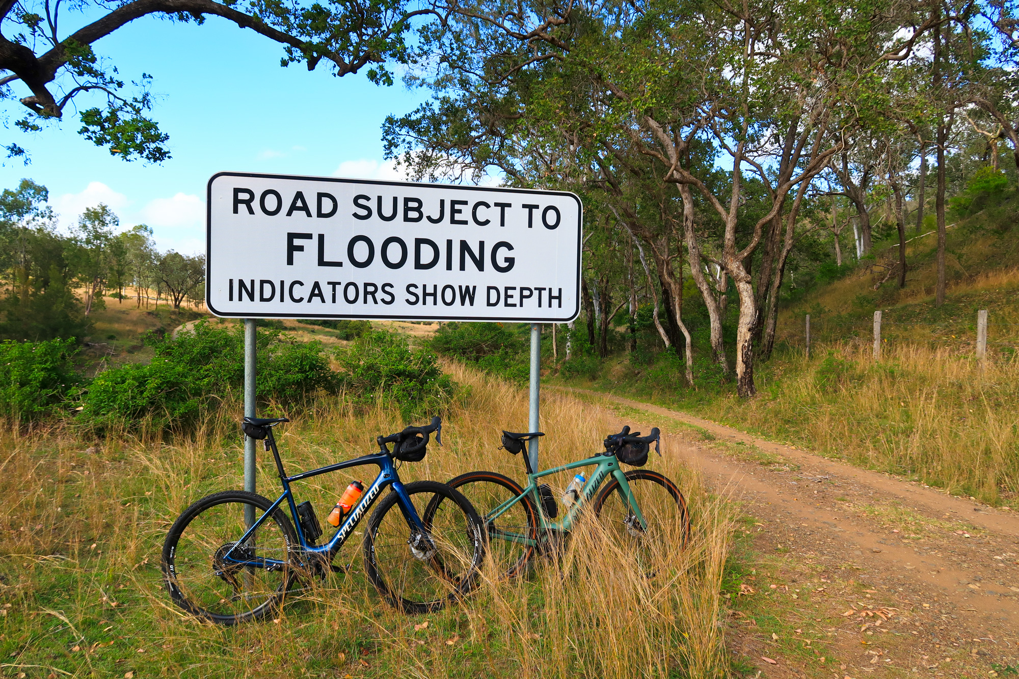
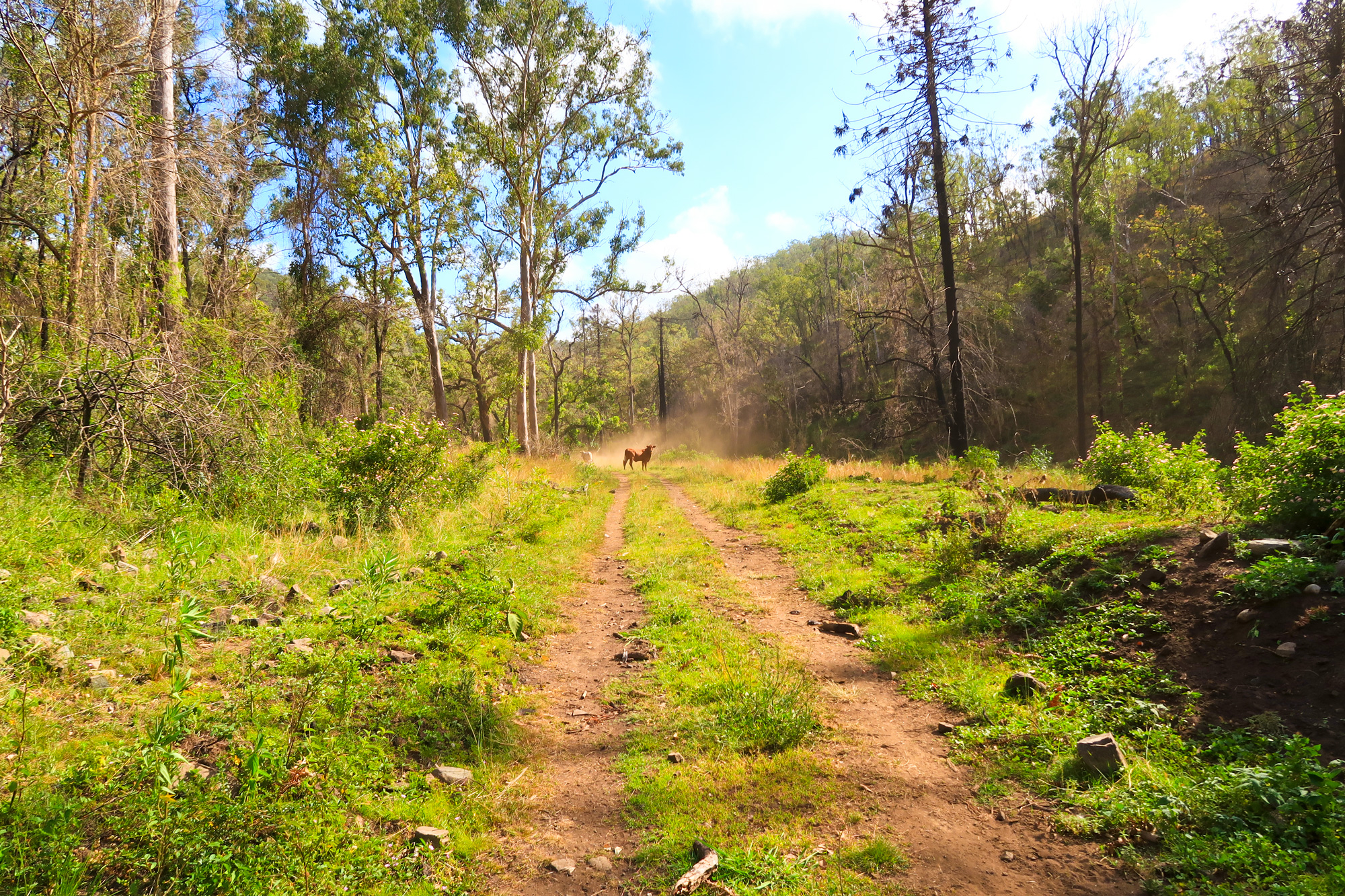
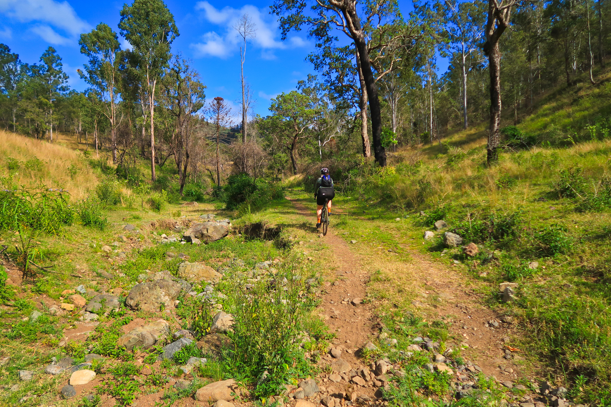
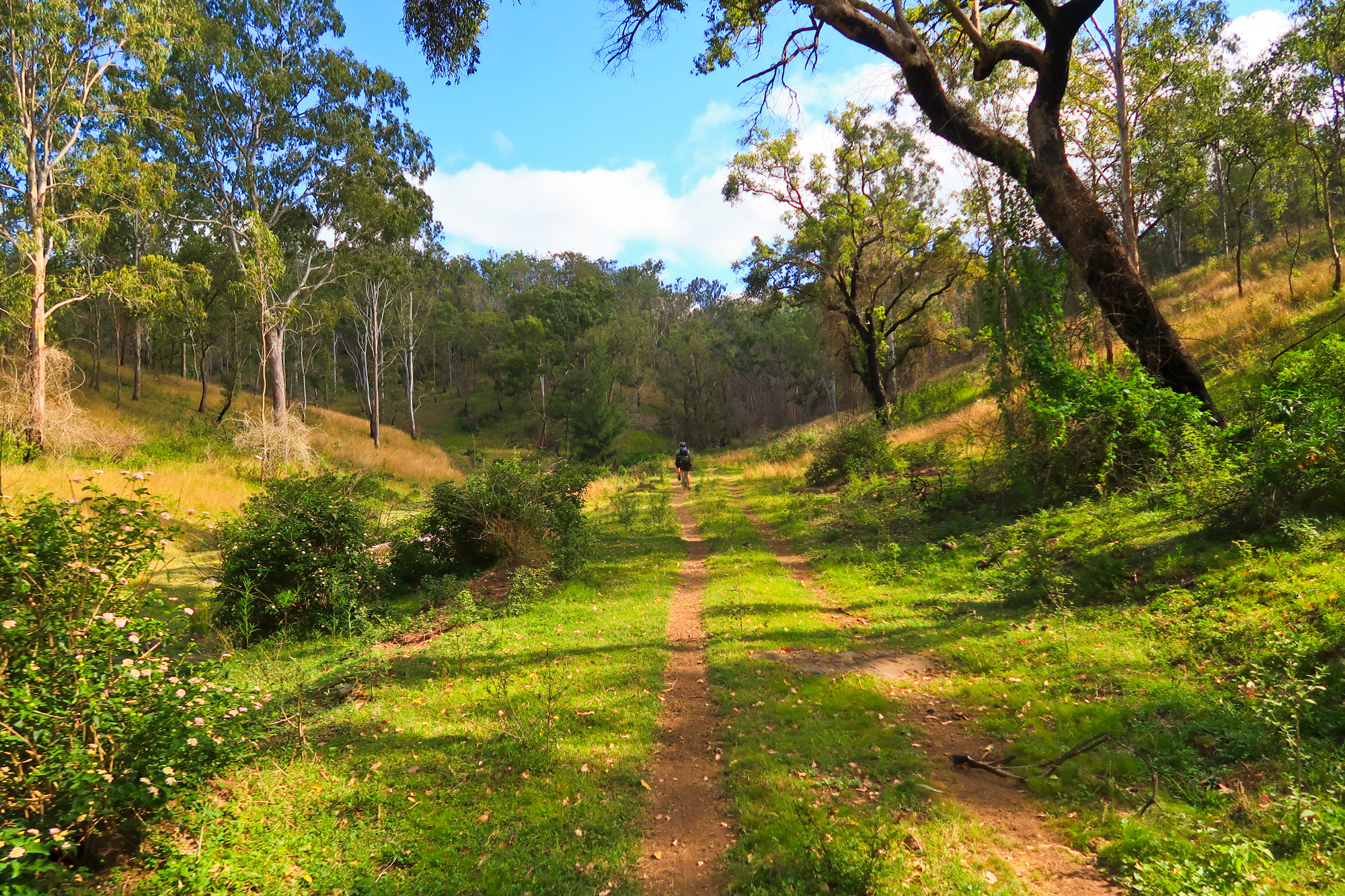
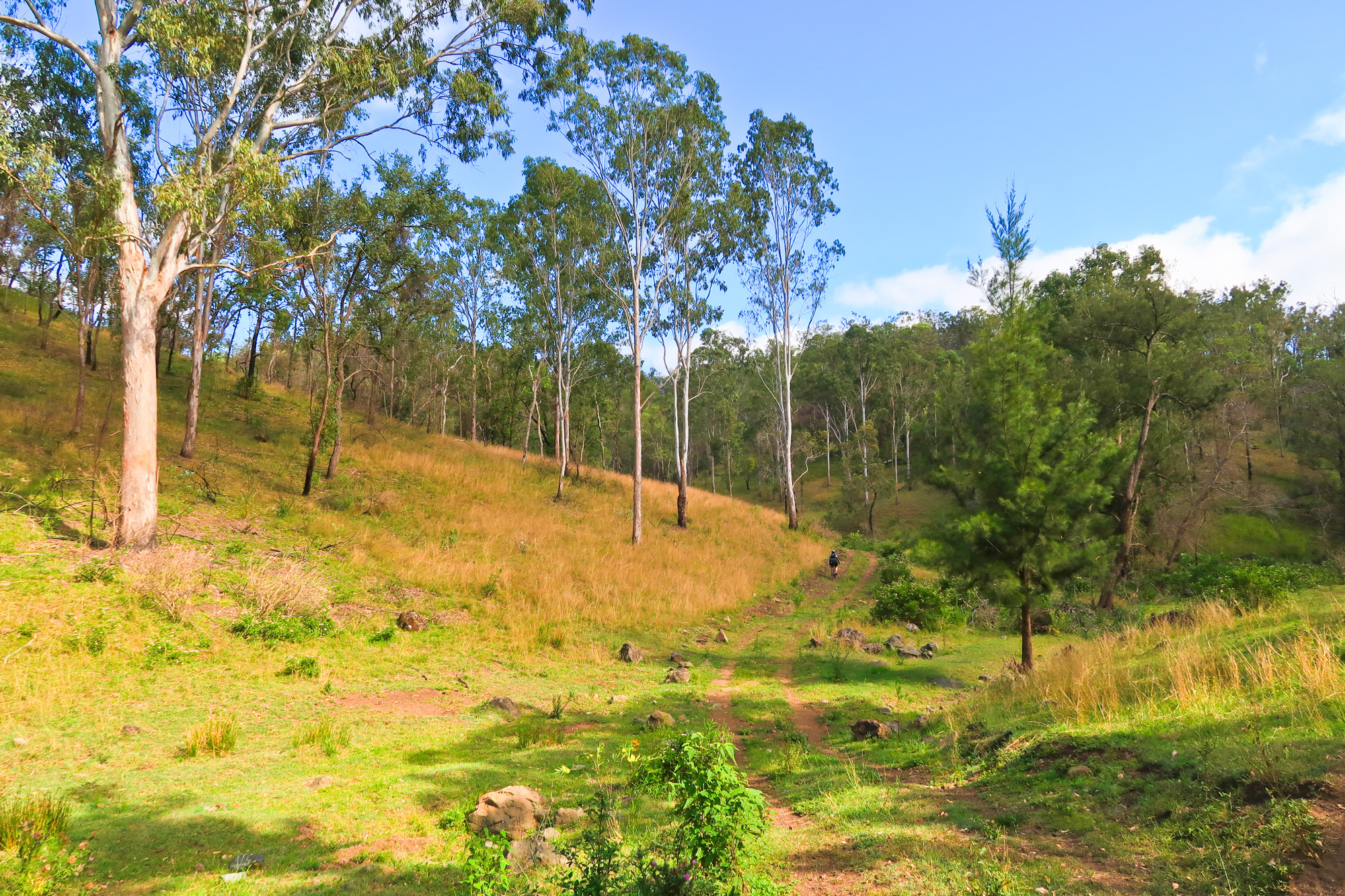
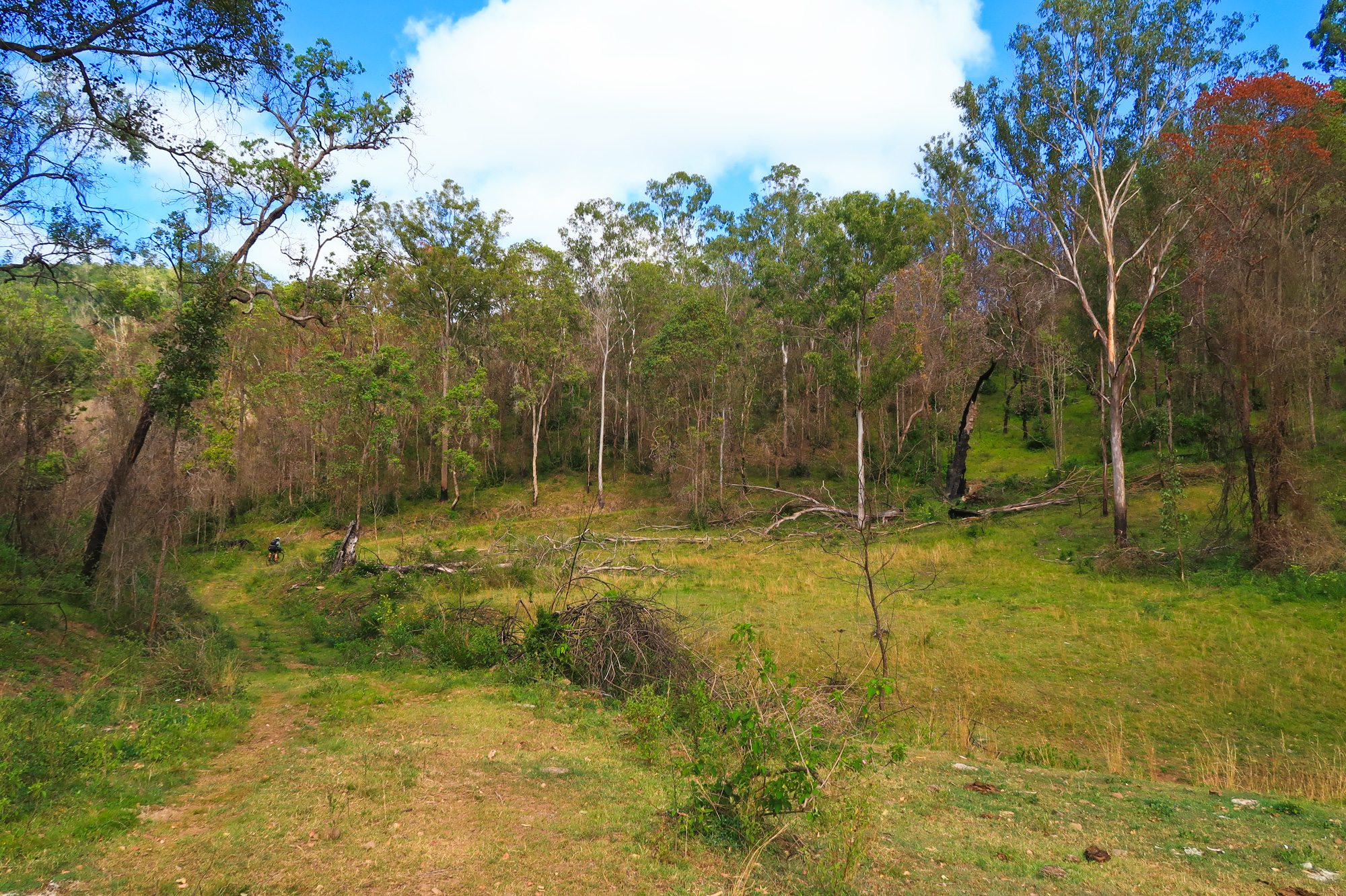
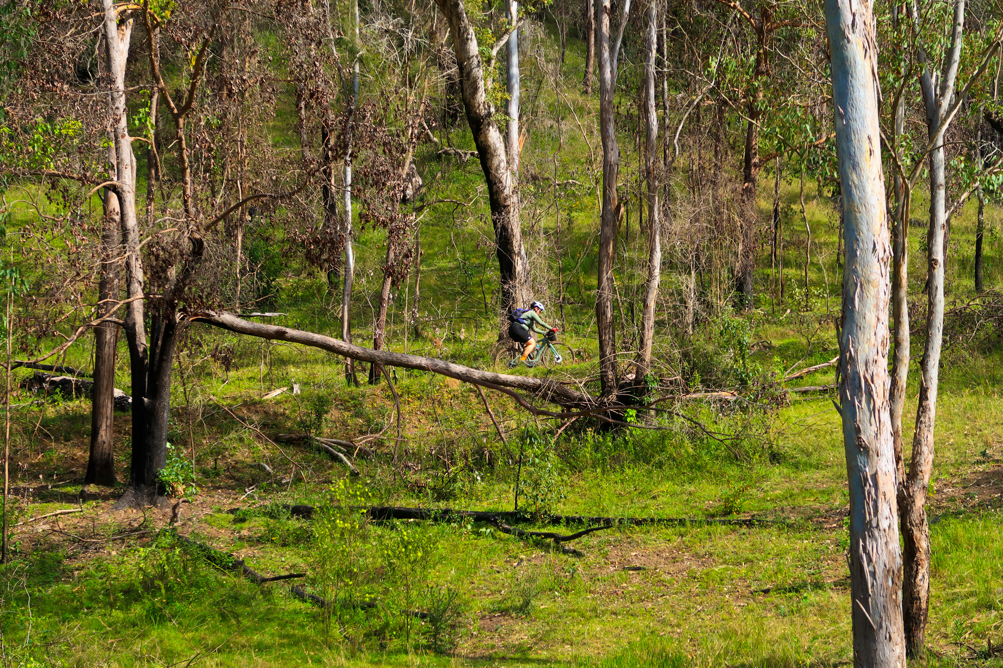
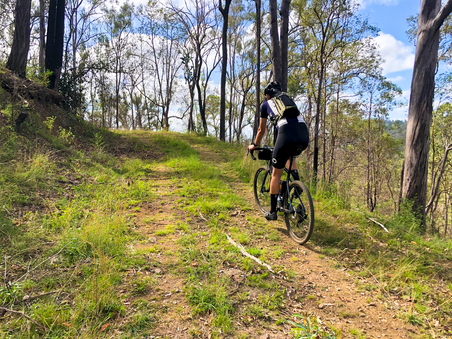
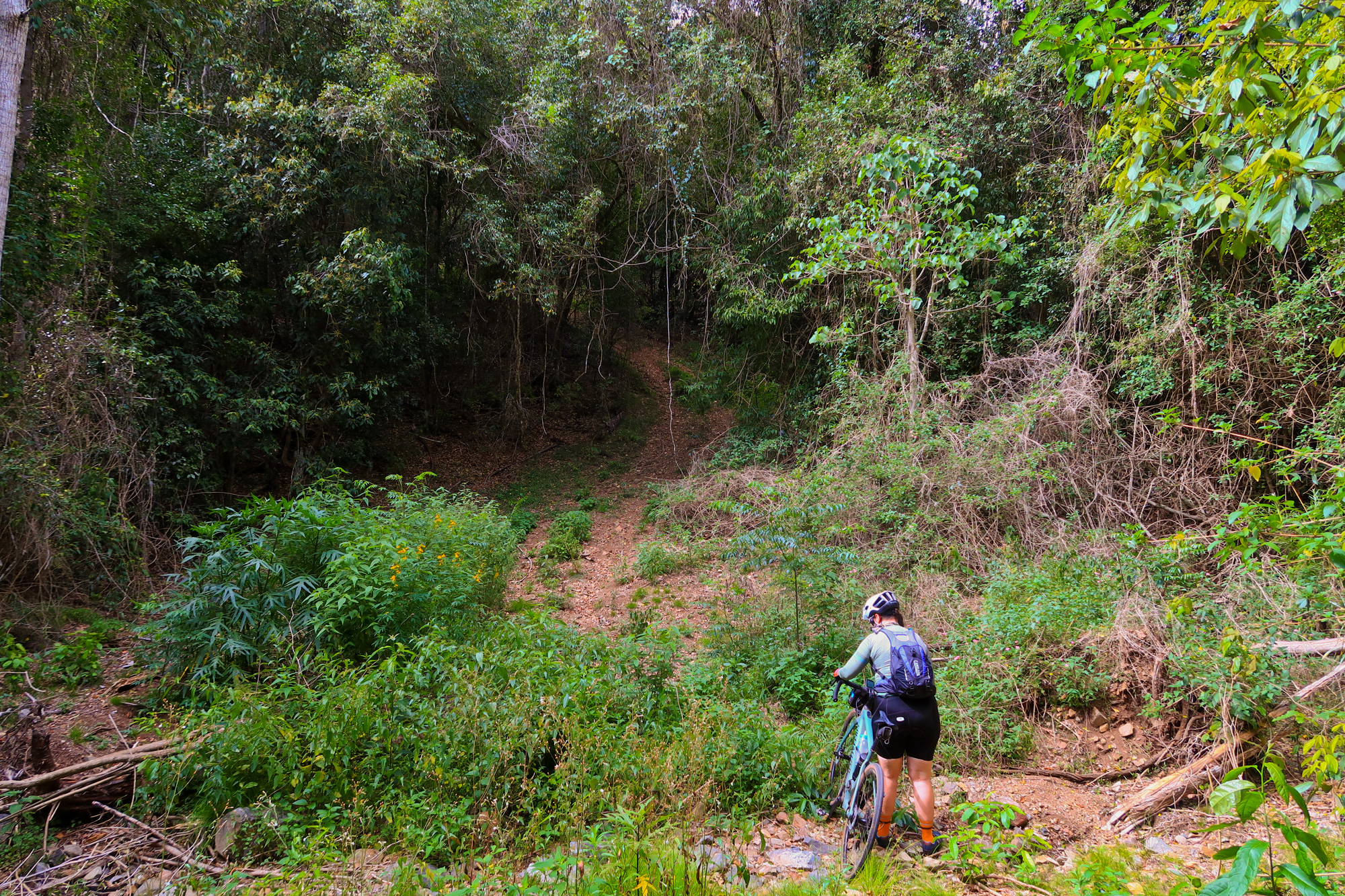
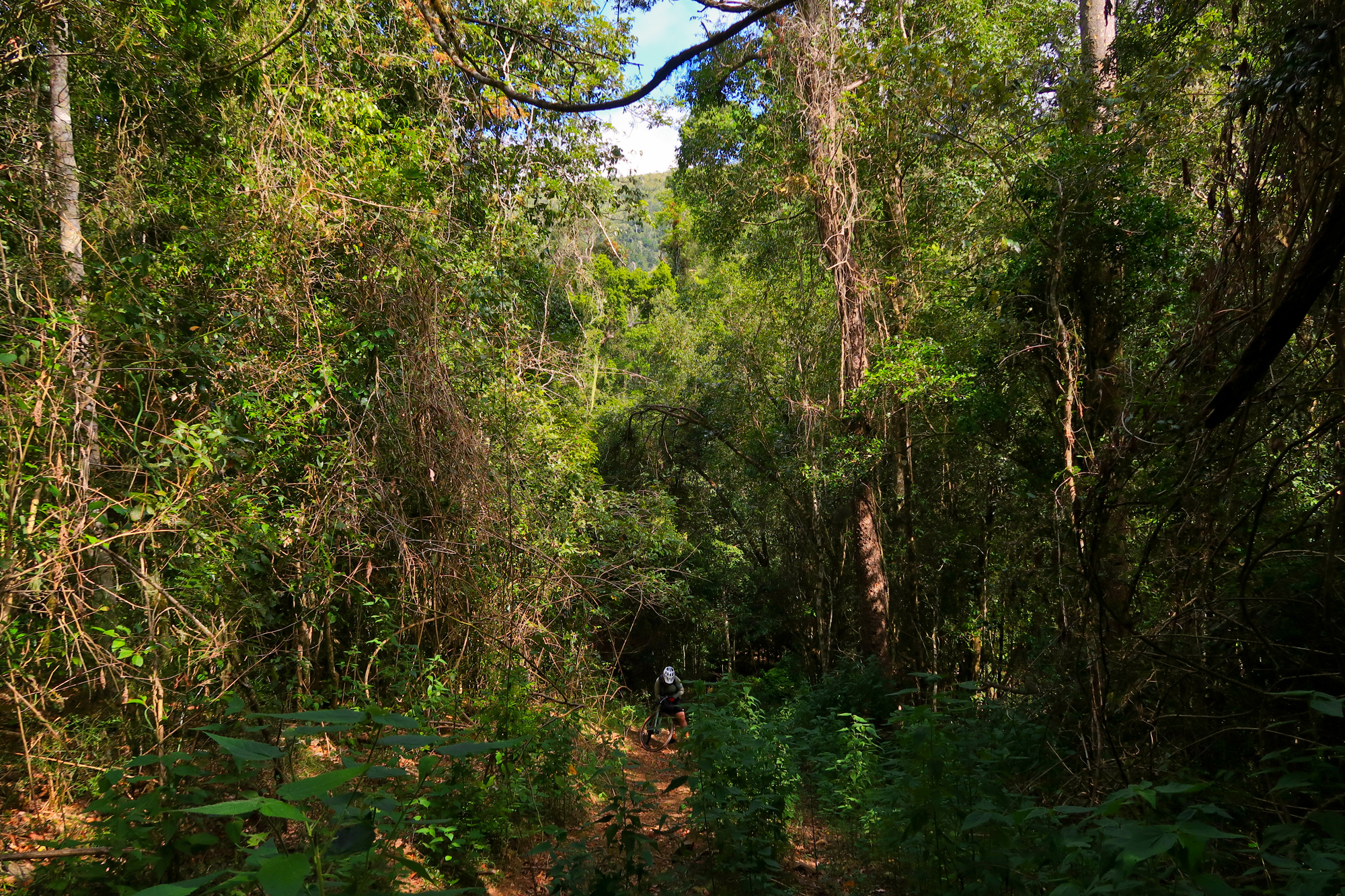
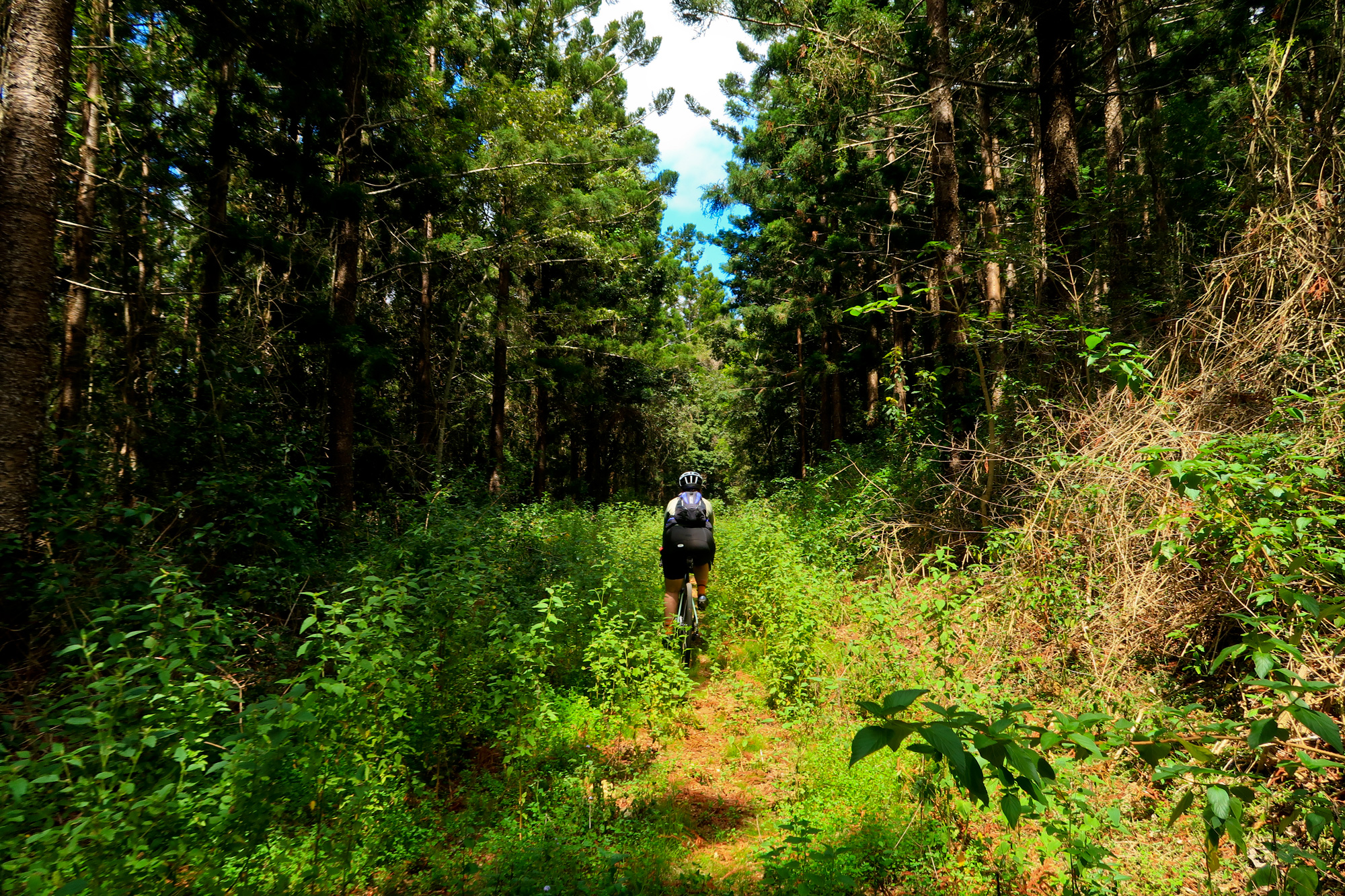
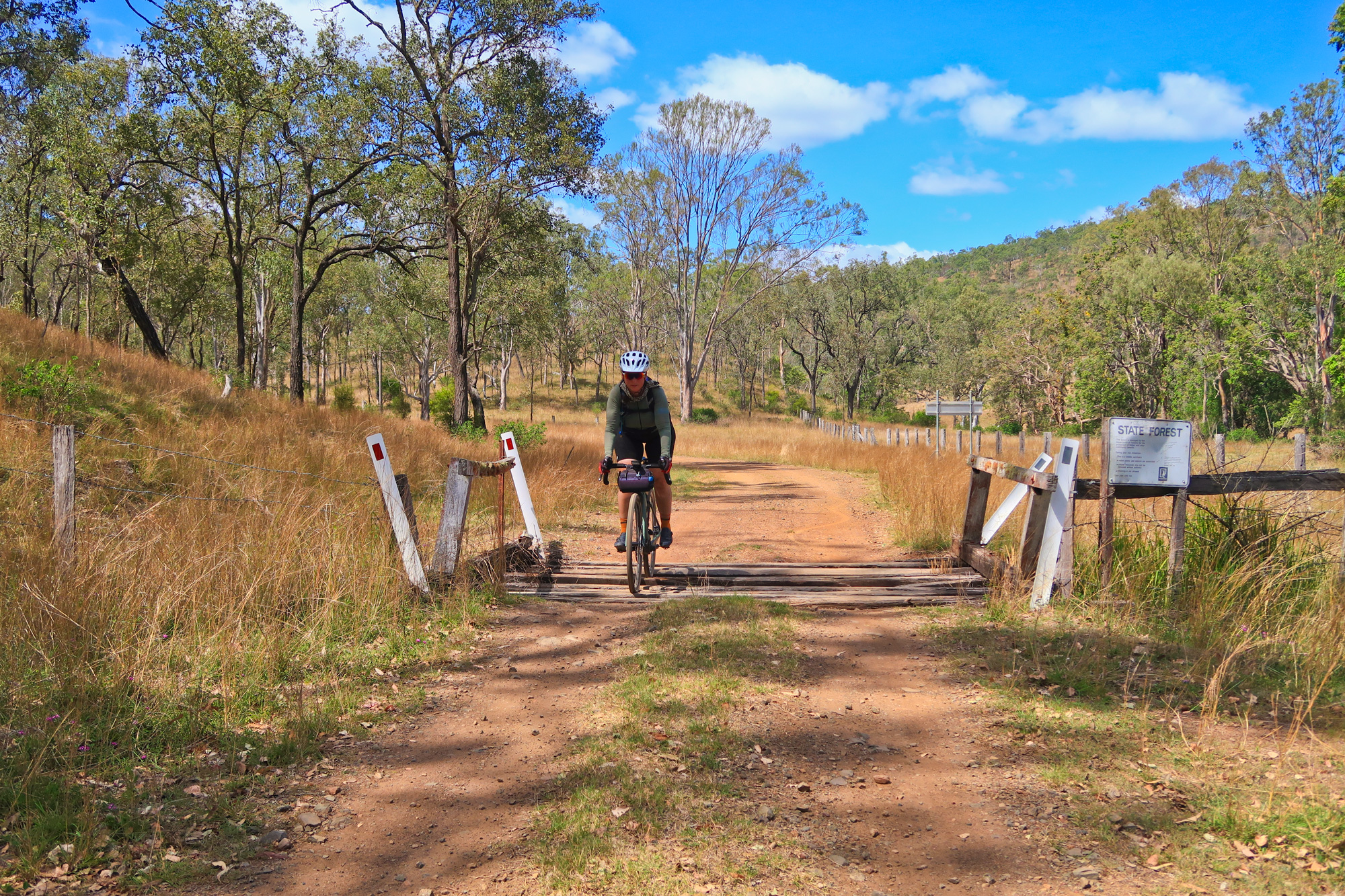
With recent rains making the scenery green again we once again ventured out to explore more of the upper sections Brisbane River Eastern Branch and into the various state and national parks/forestry. Much of the first few kilometres was a mixture of green and black after last years fires that went through the area. As too were quite a few cows that had managed to venture into the area. It also meant the start of just one of the many many many many creek crossings along the route.
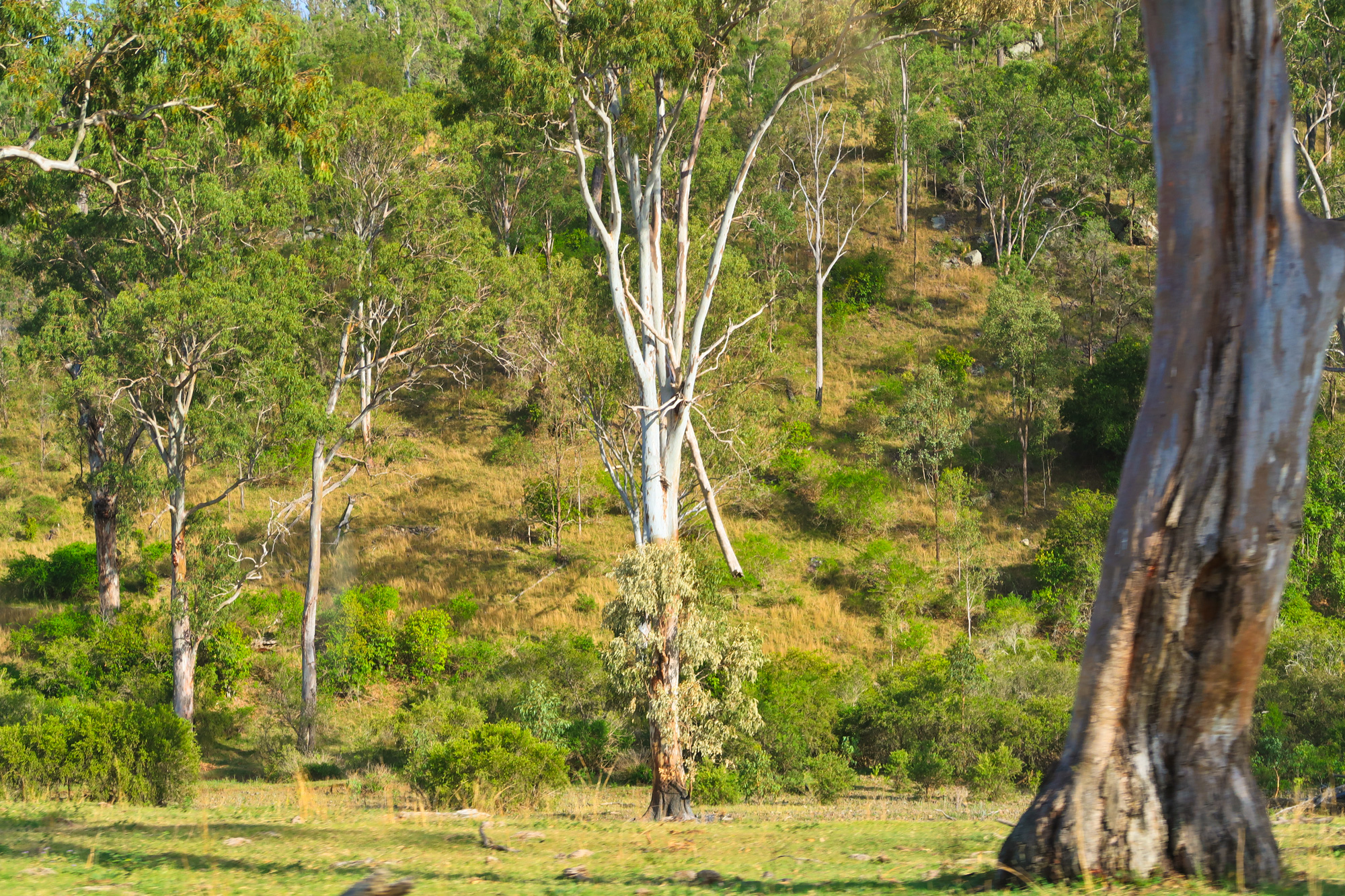
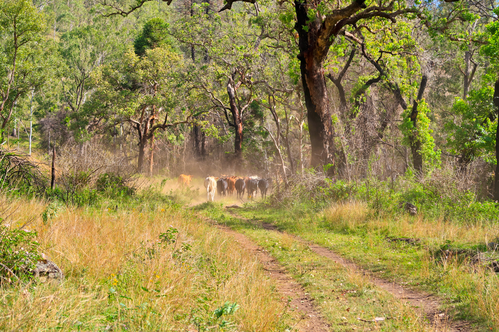
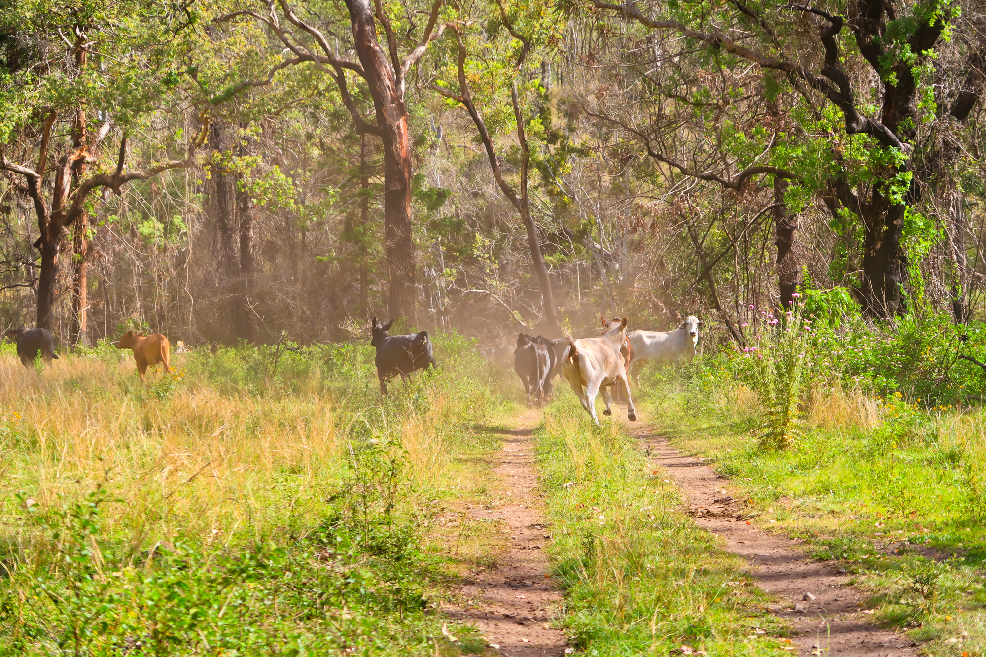
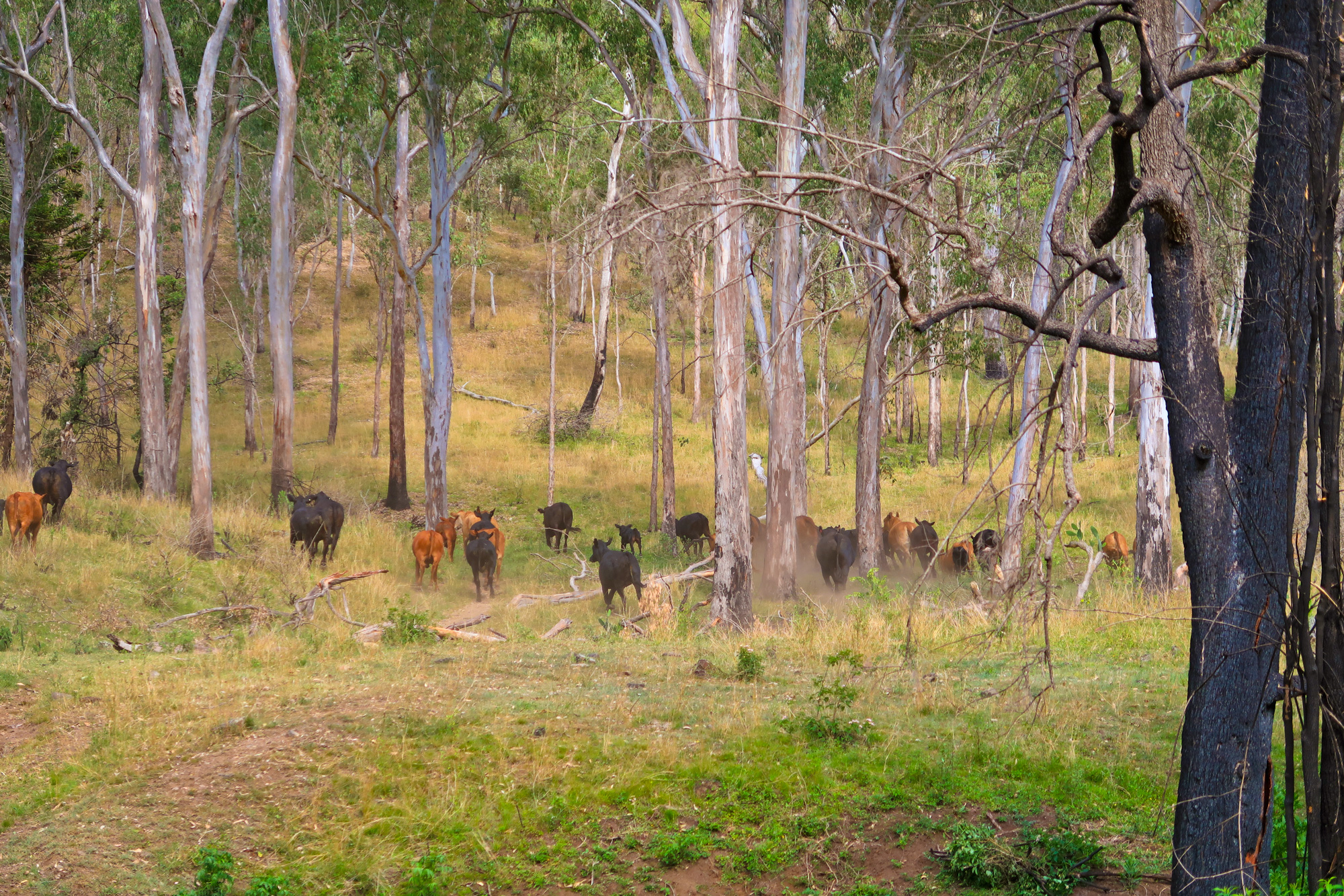
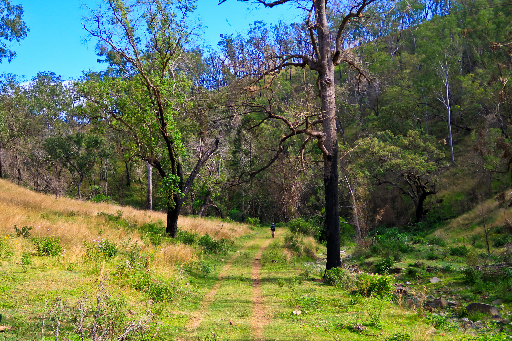

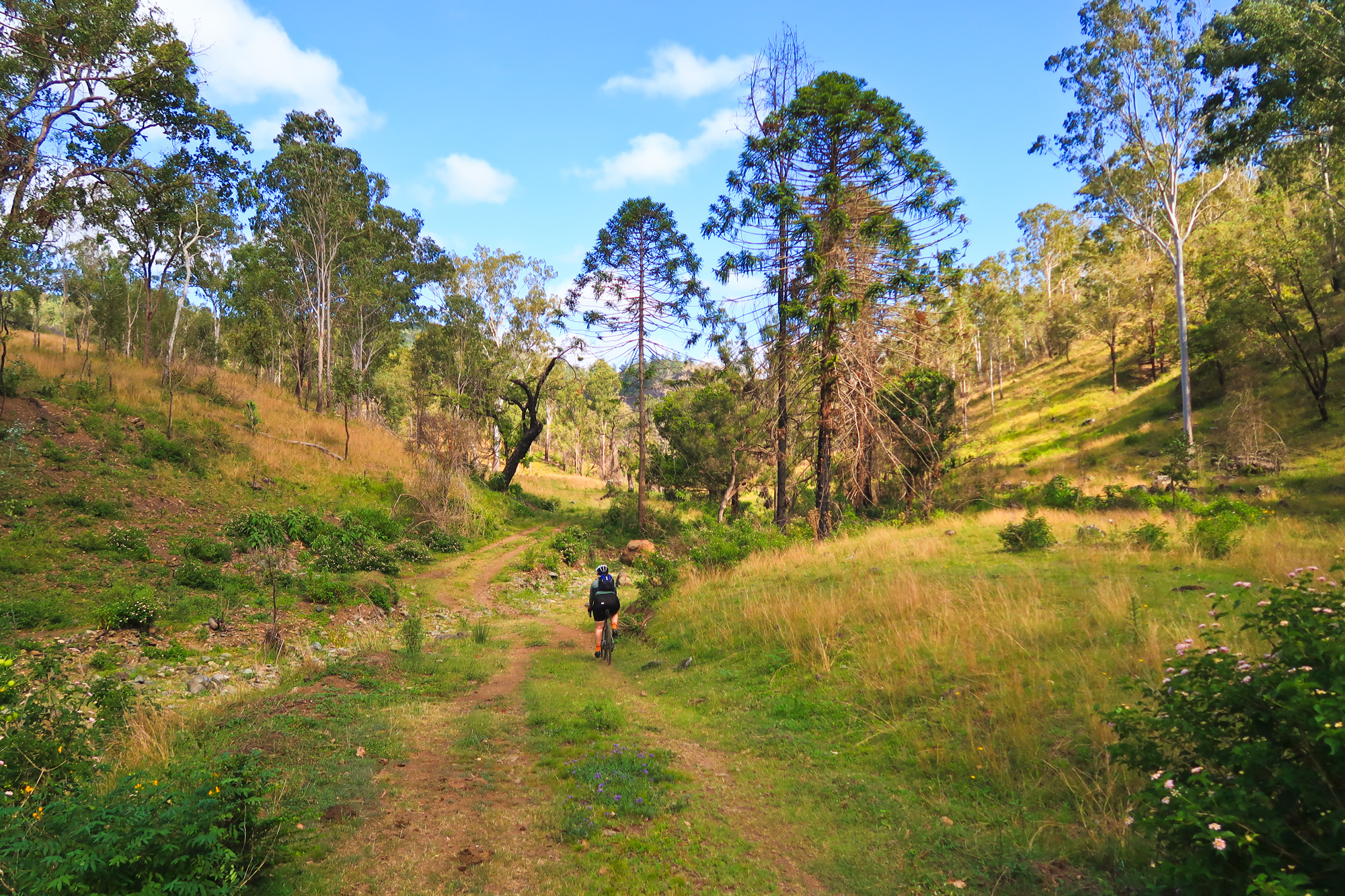
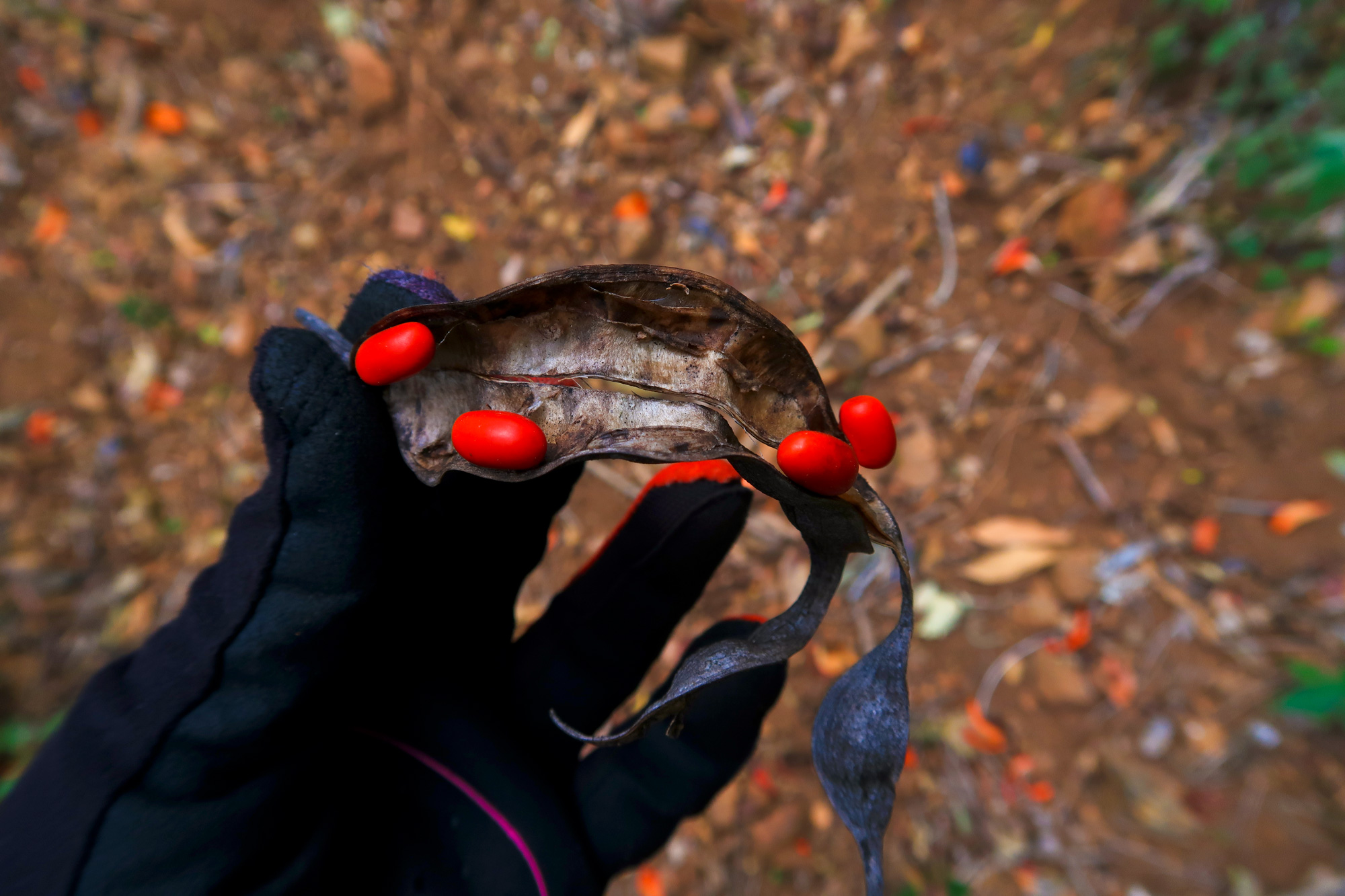
Greenery and burnt out vegetation after last years fire had scorched the area.
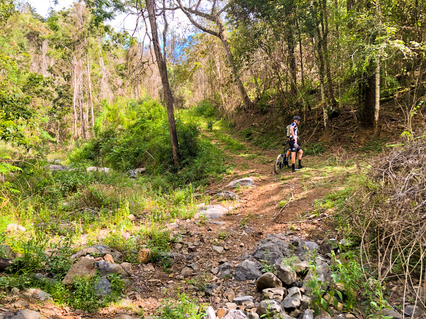
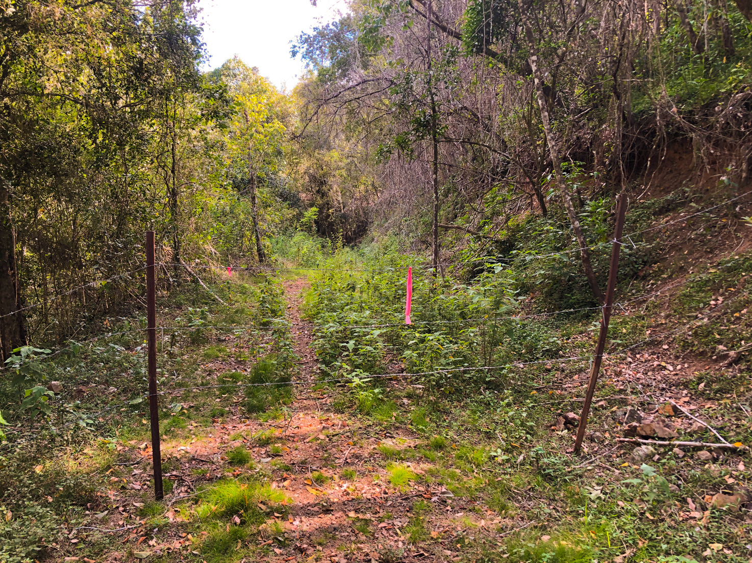
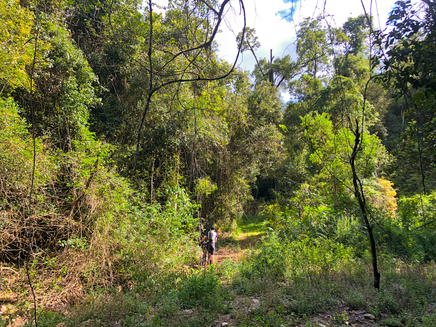
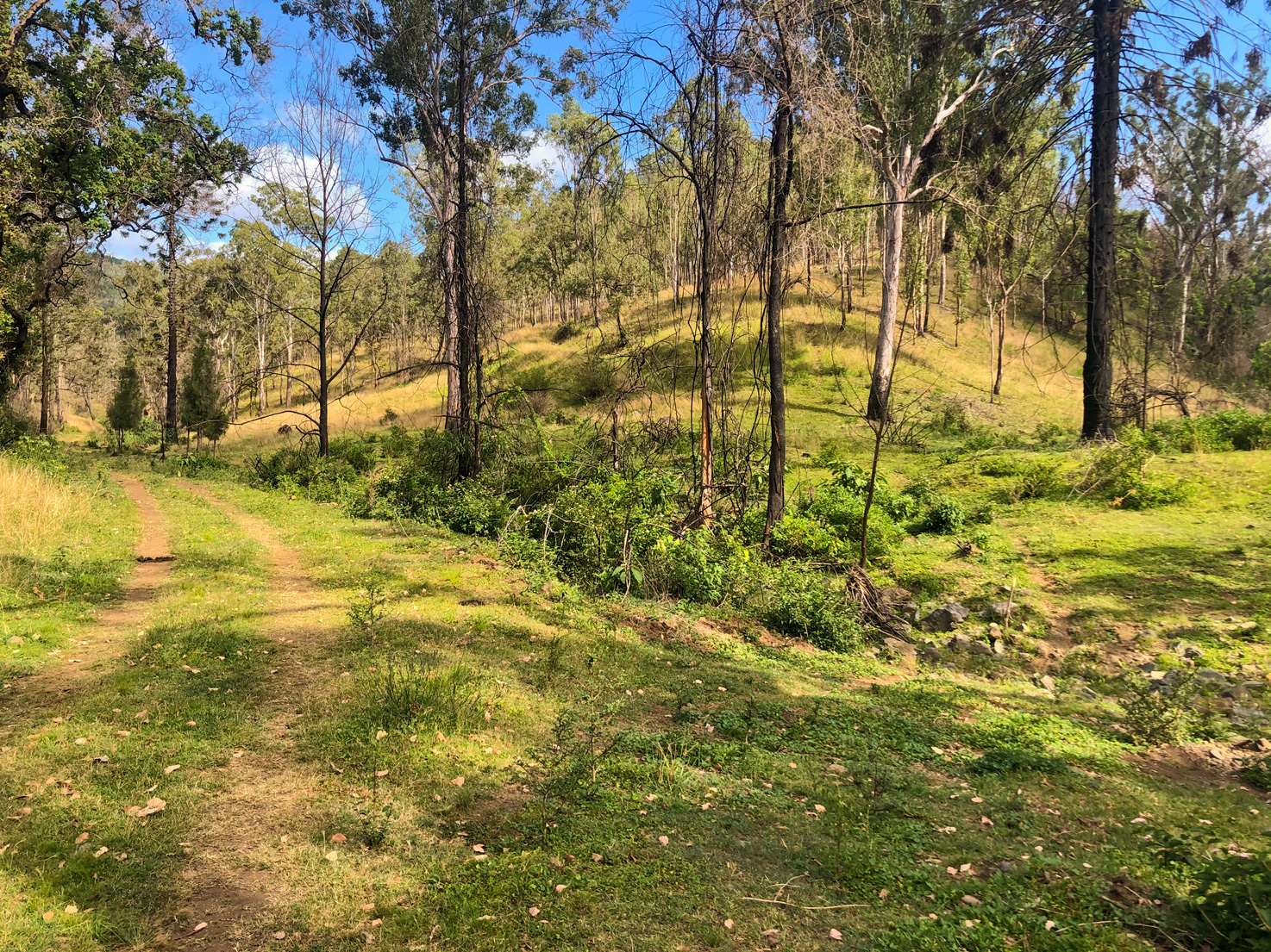
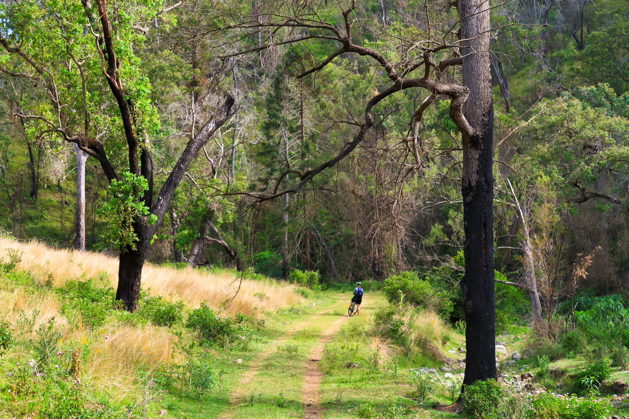
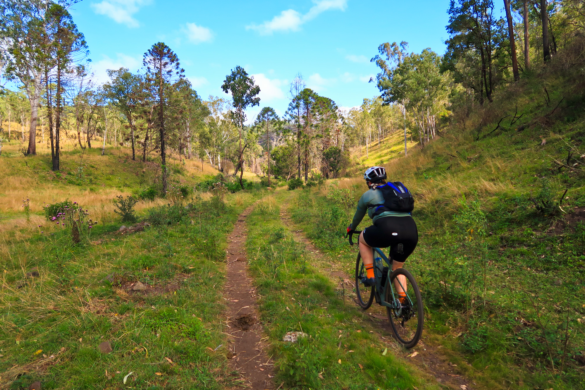
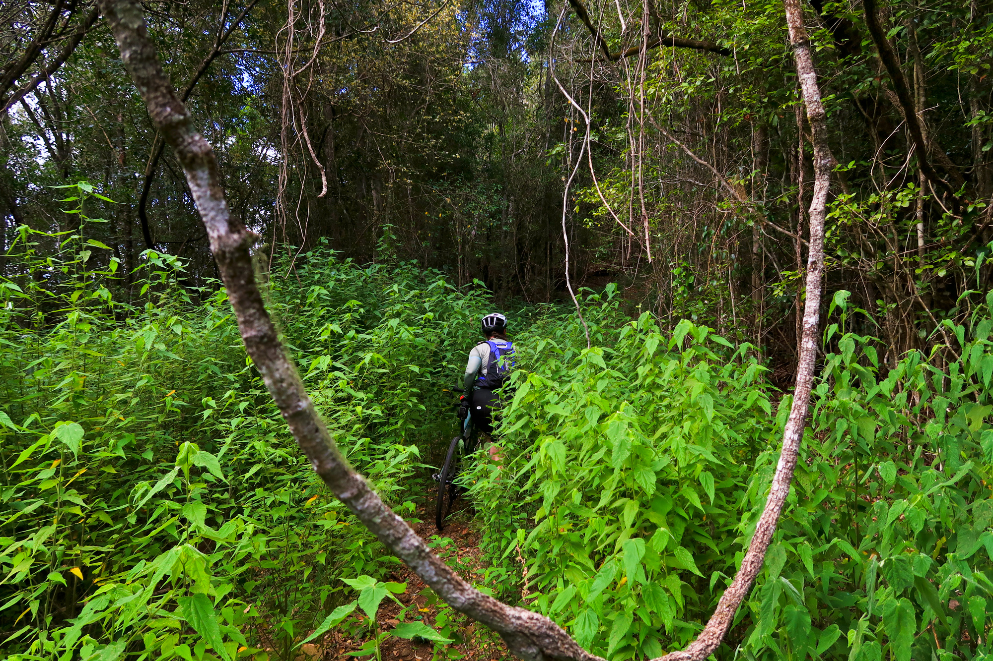
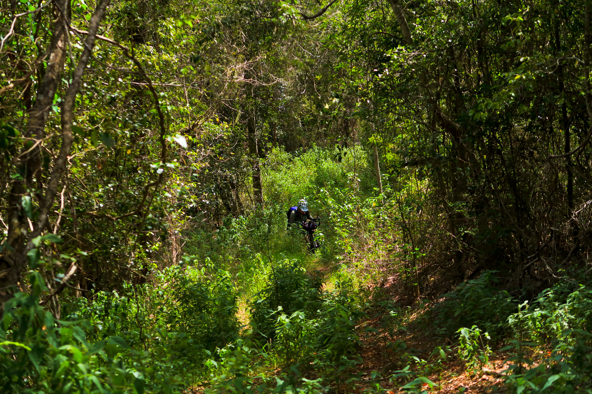
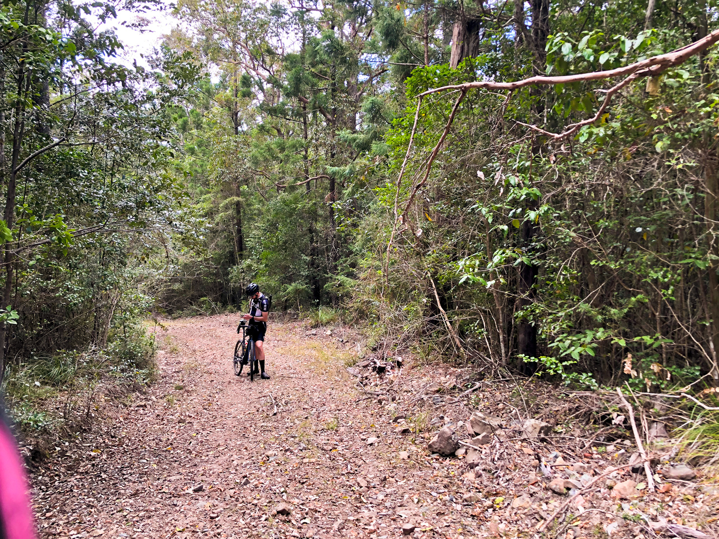
After coming across a barbed wire section to keep the cows in or out we made our way through some lantana and stinging nettles as we slowly kept gaining elevation towards the start of the climb.
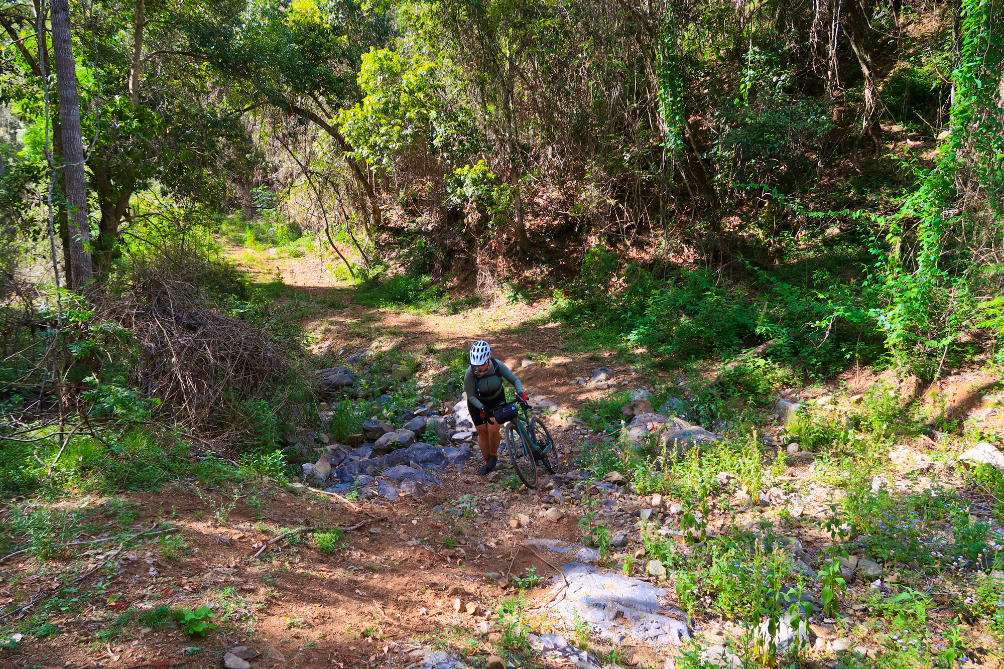
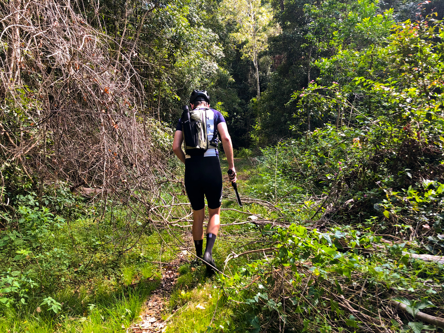
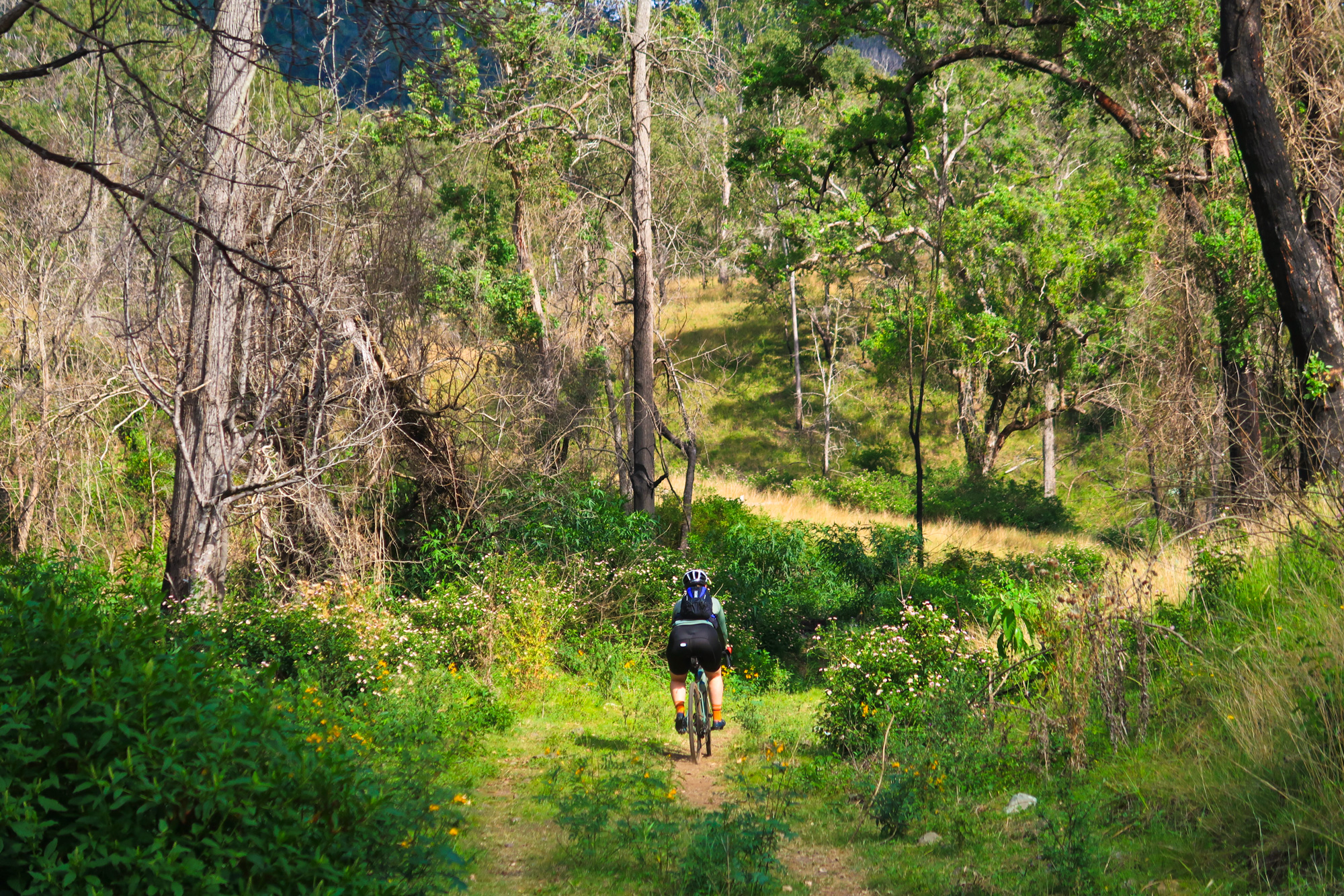
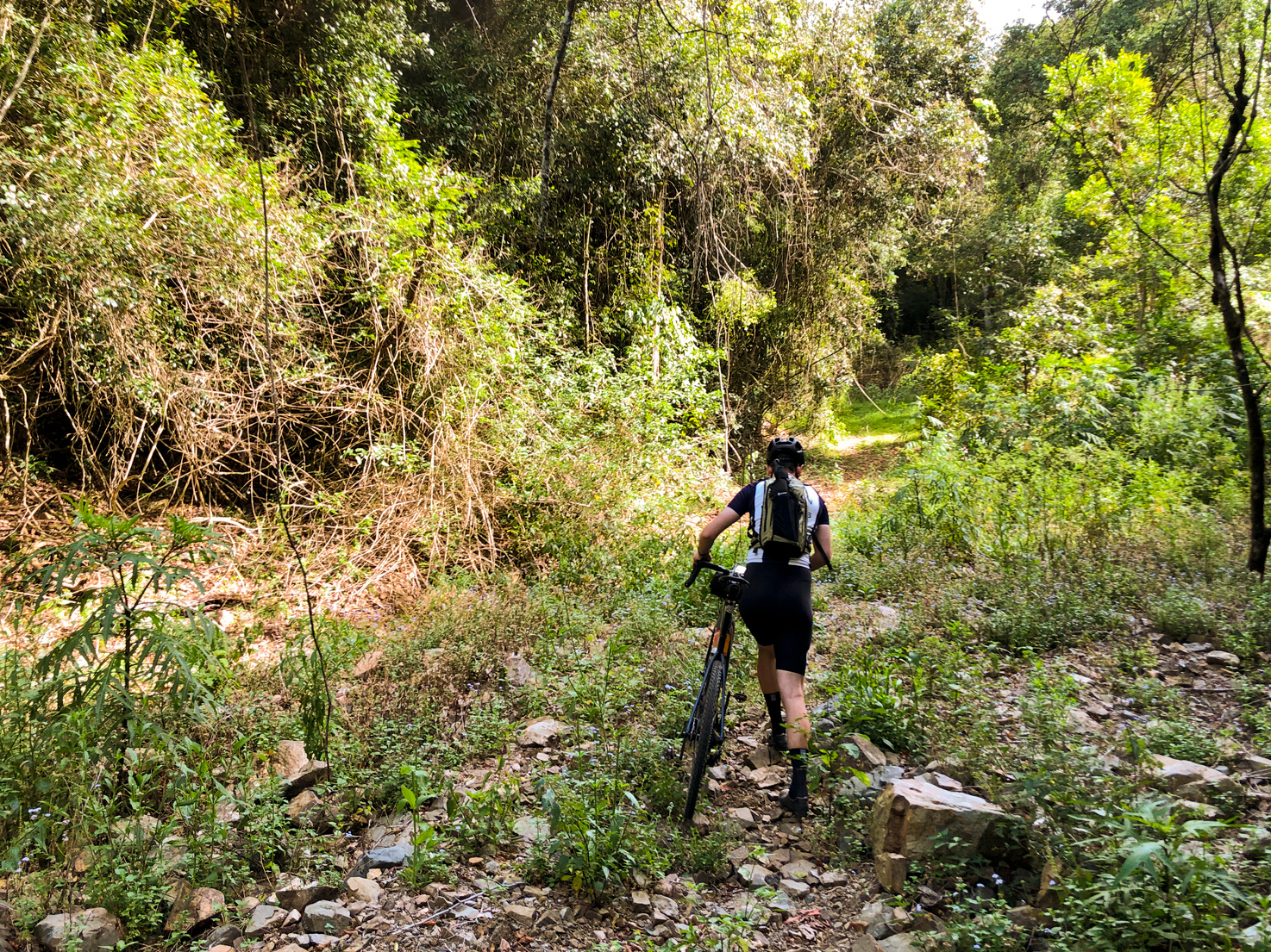
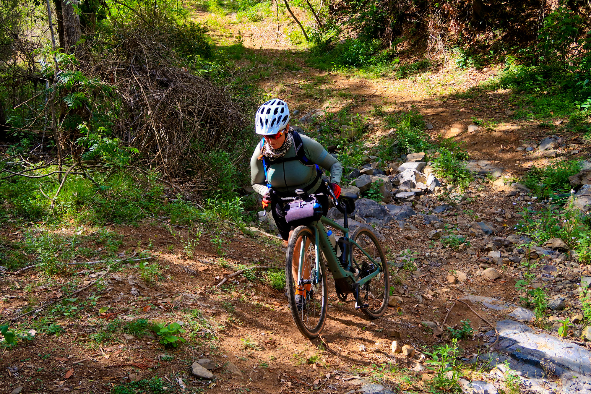
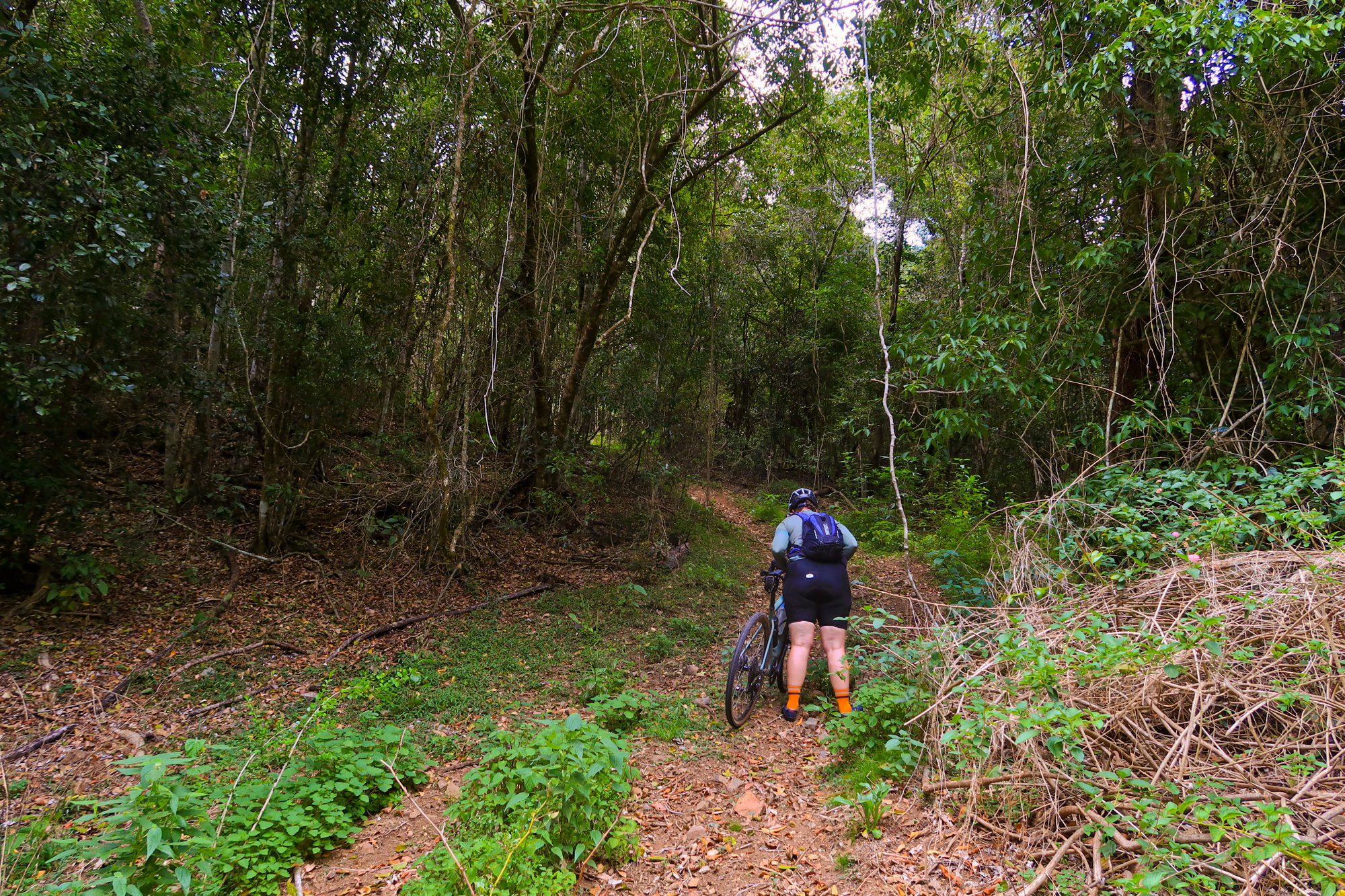
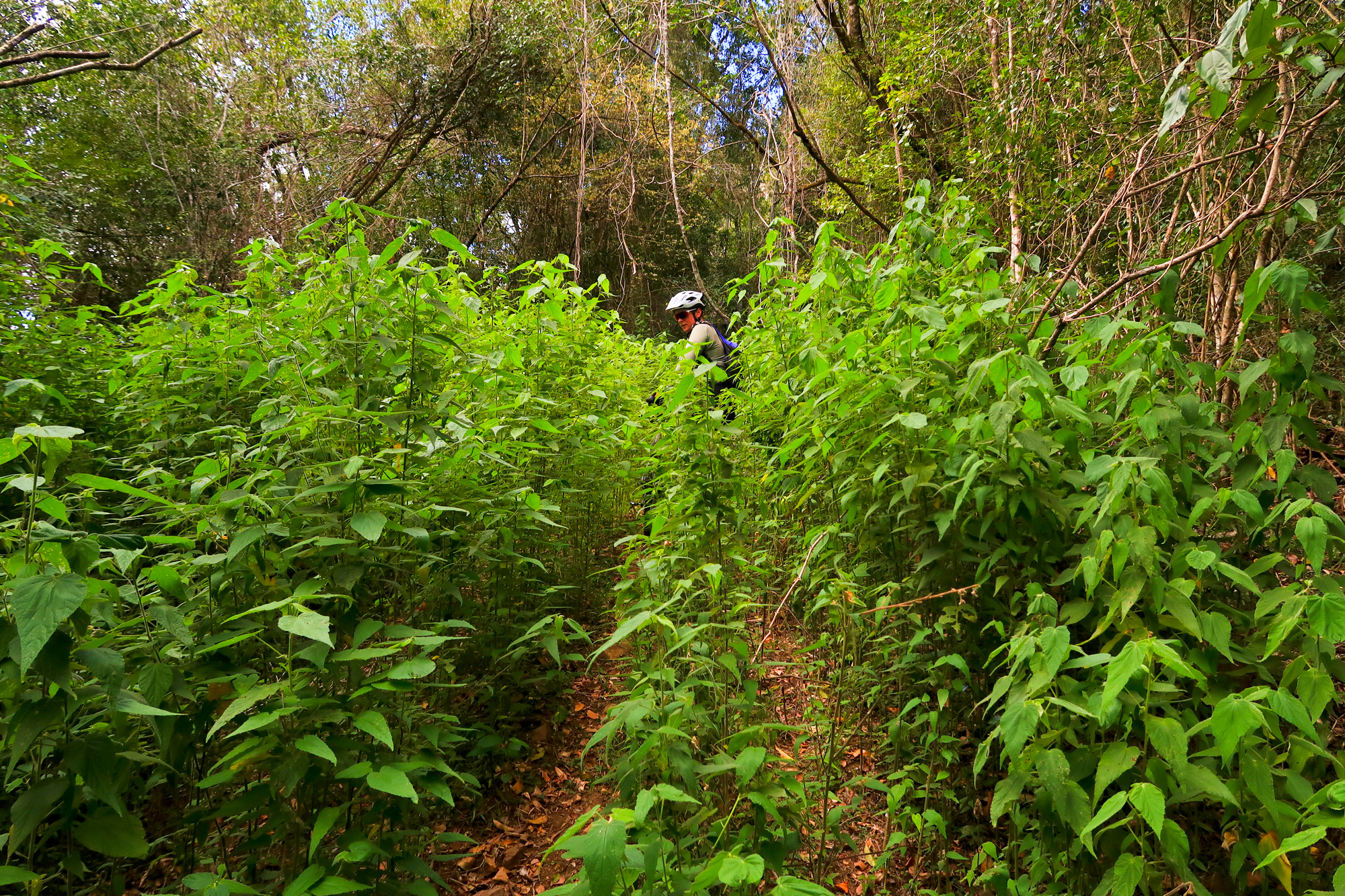
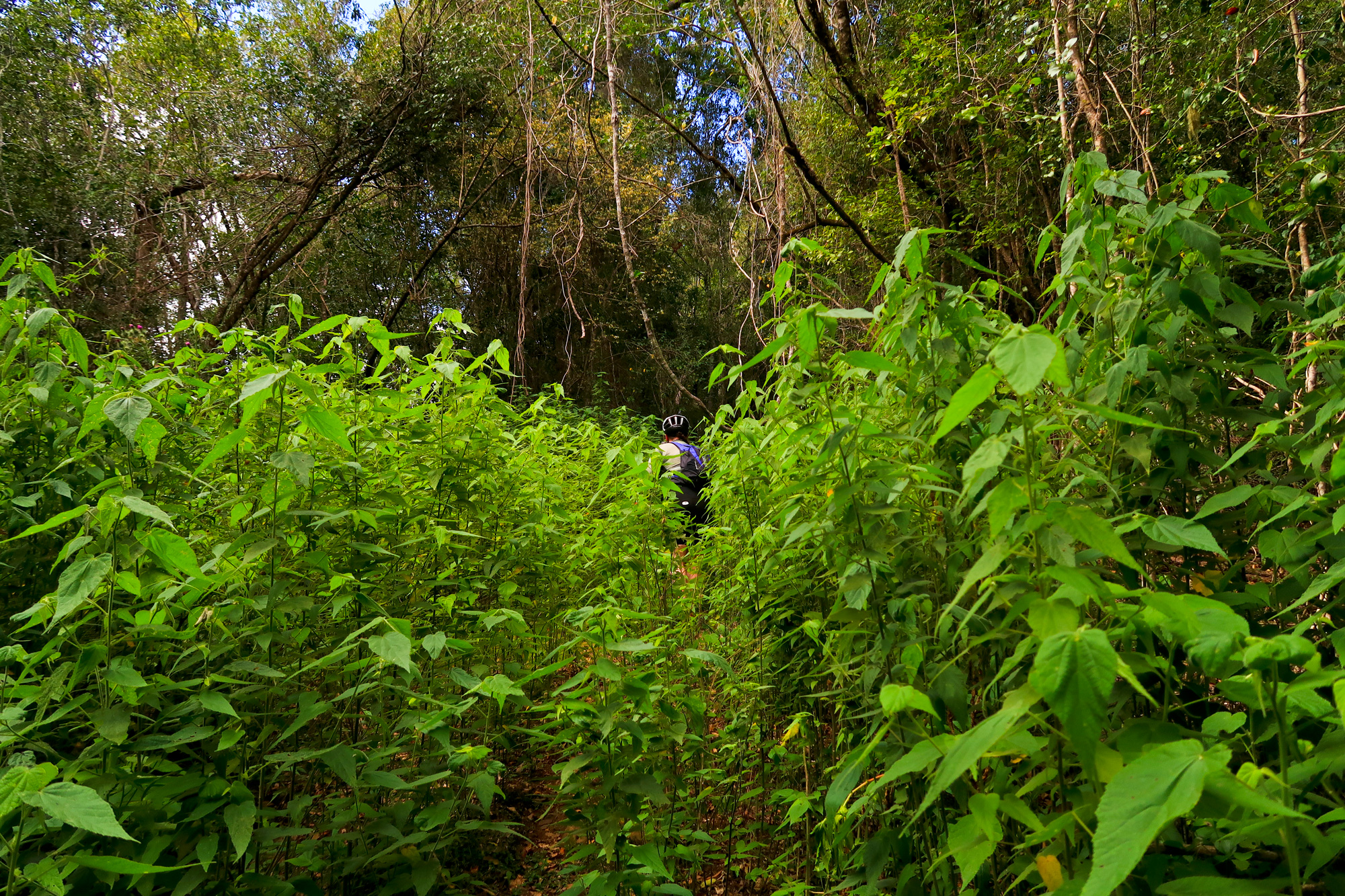
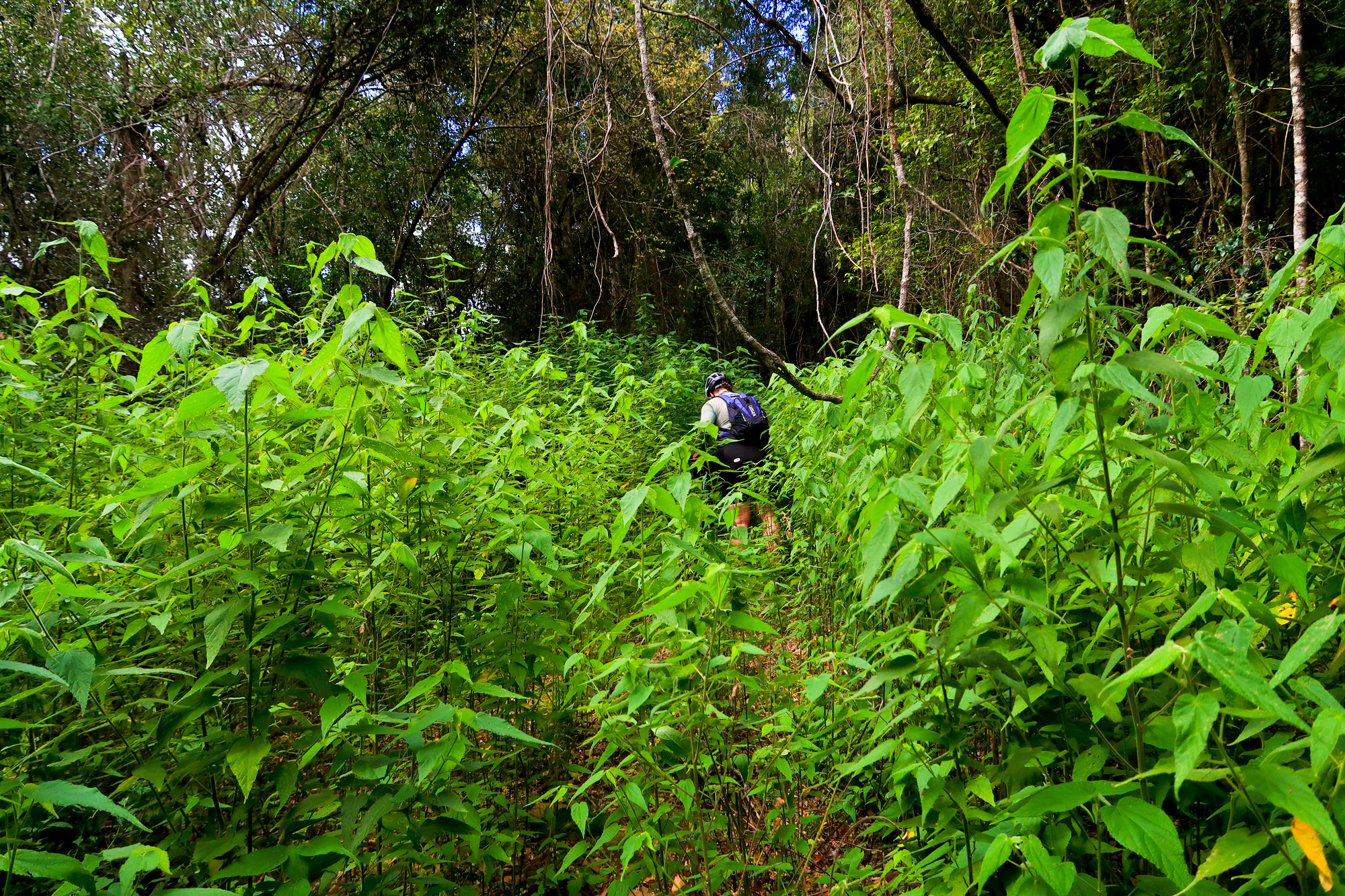
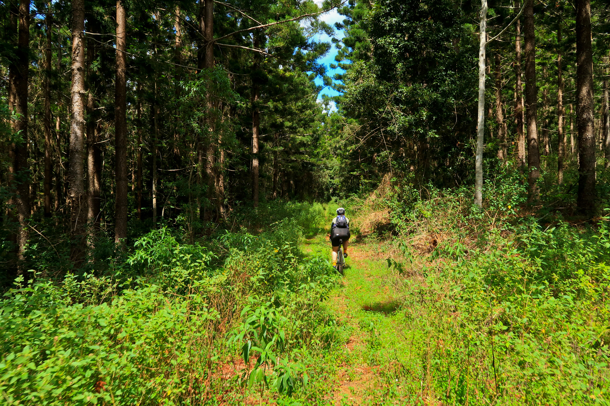
And then we arrived at the start of the proper climb. 27% off road on lose rock through 1.7m tall plants and shrubs for a few kilometres. Tall enough that Bronwyn managed to disappear.
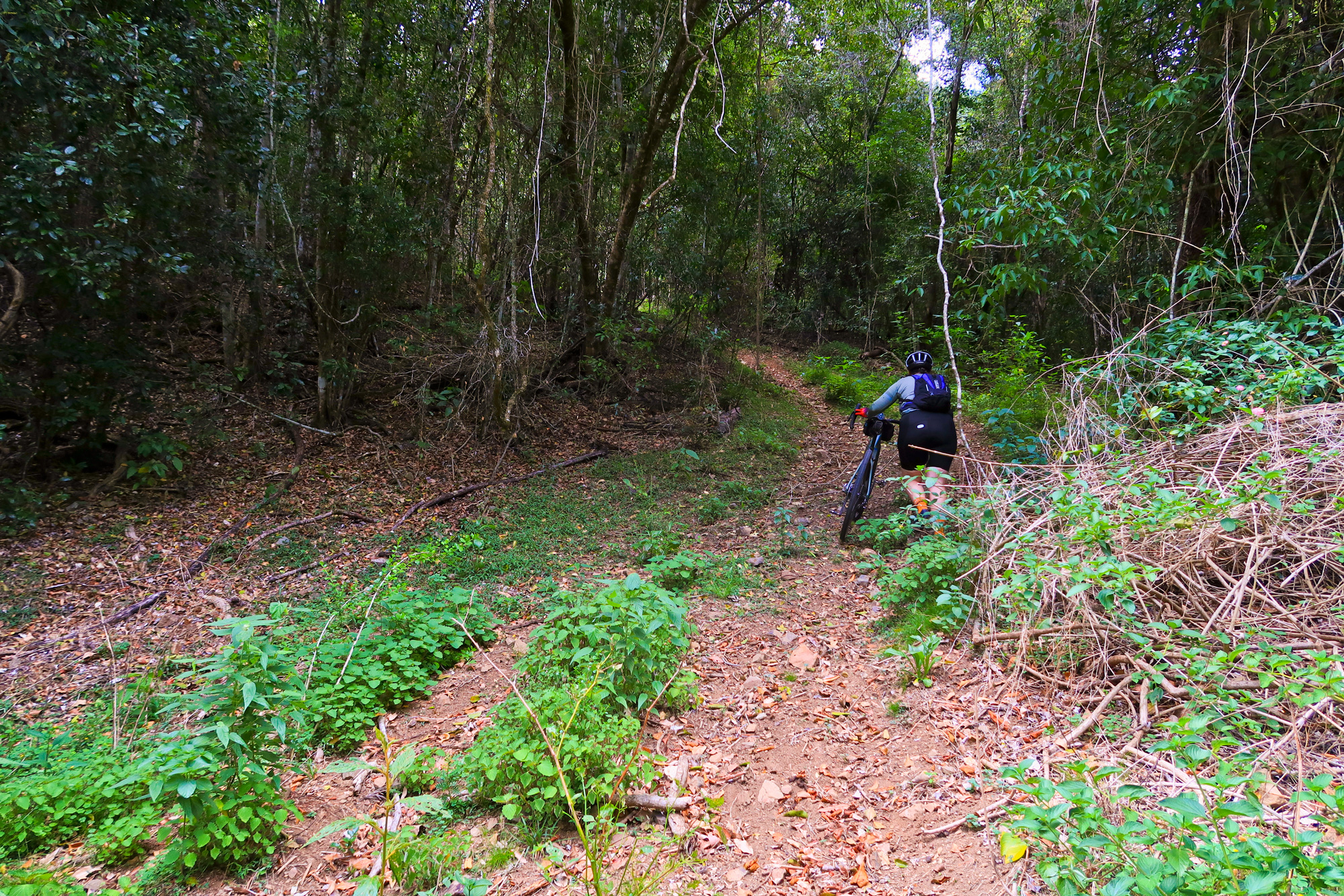
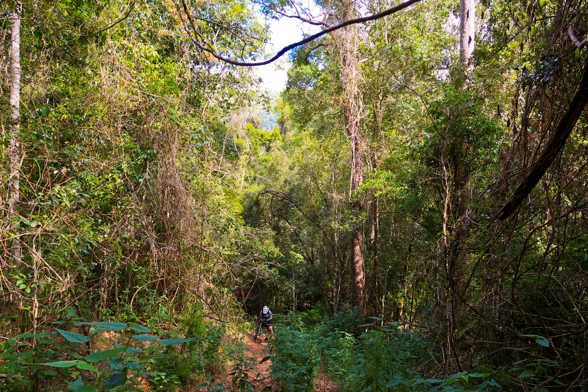
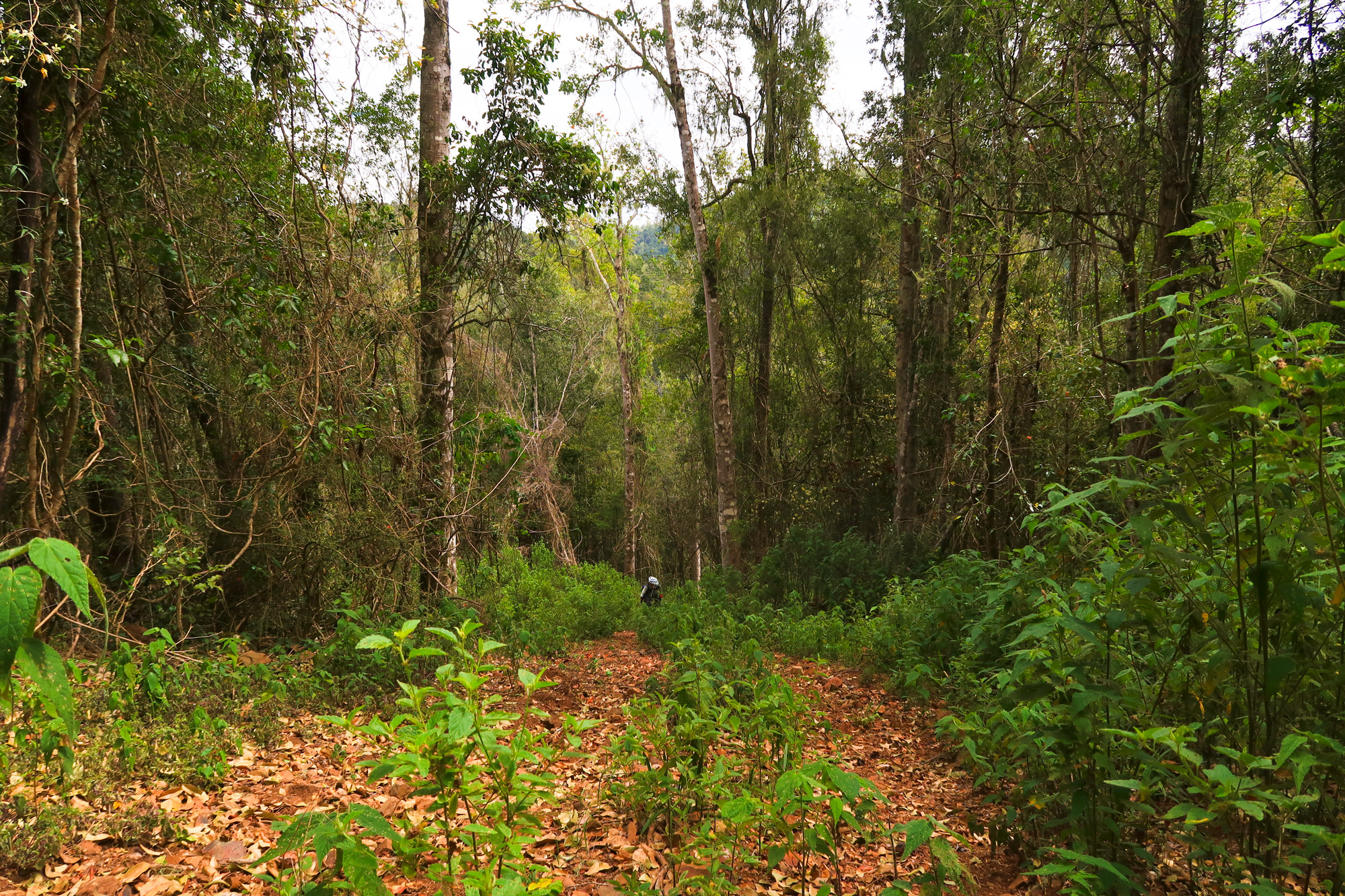
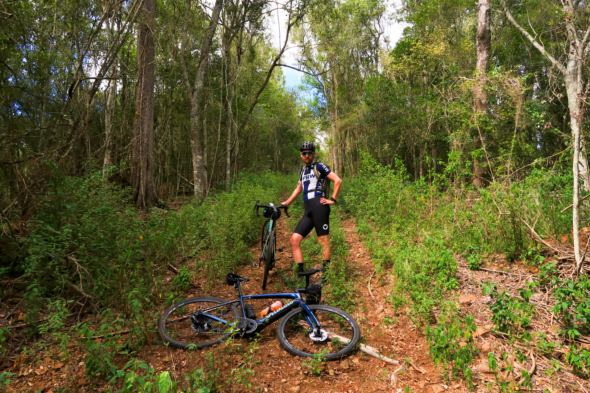
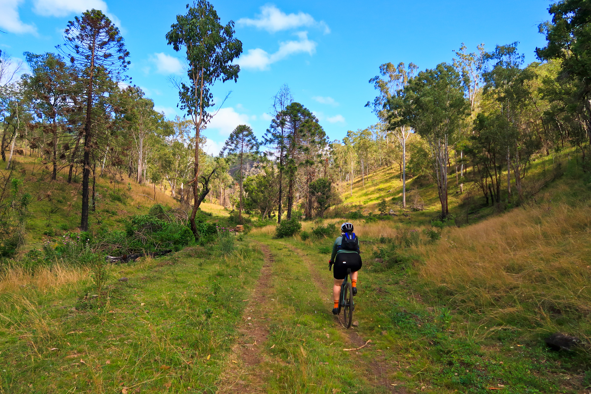
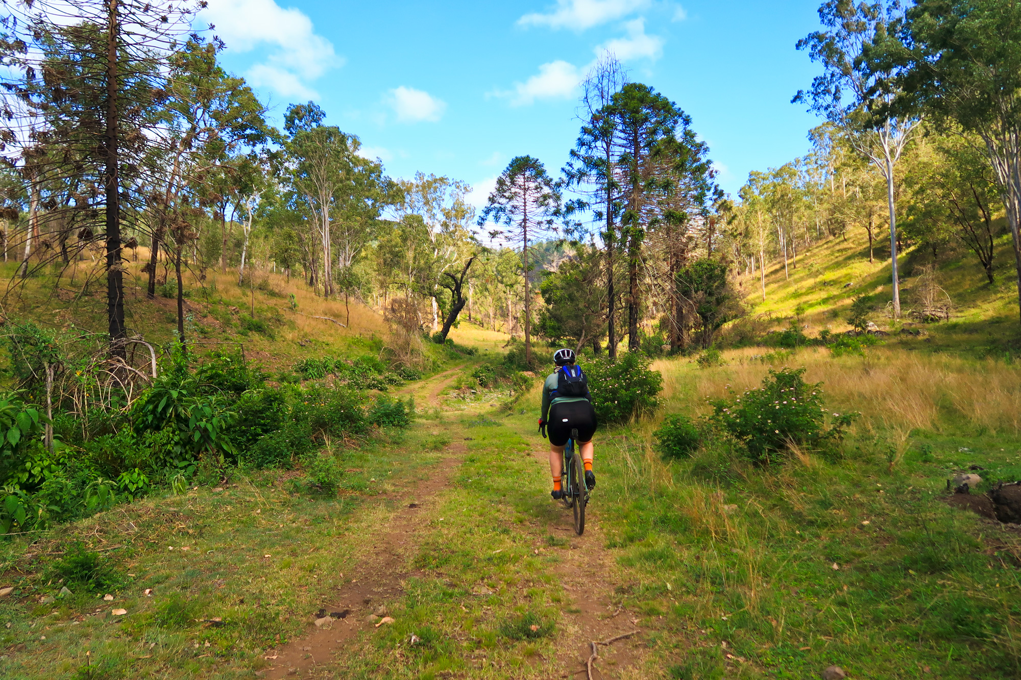
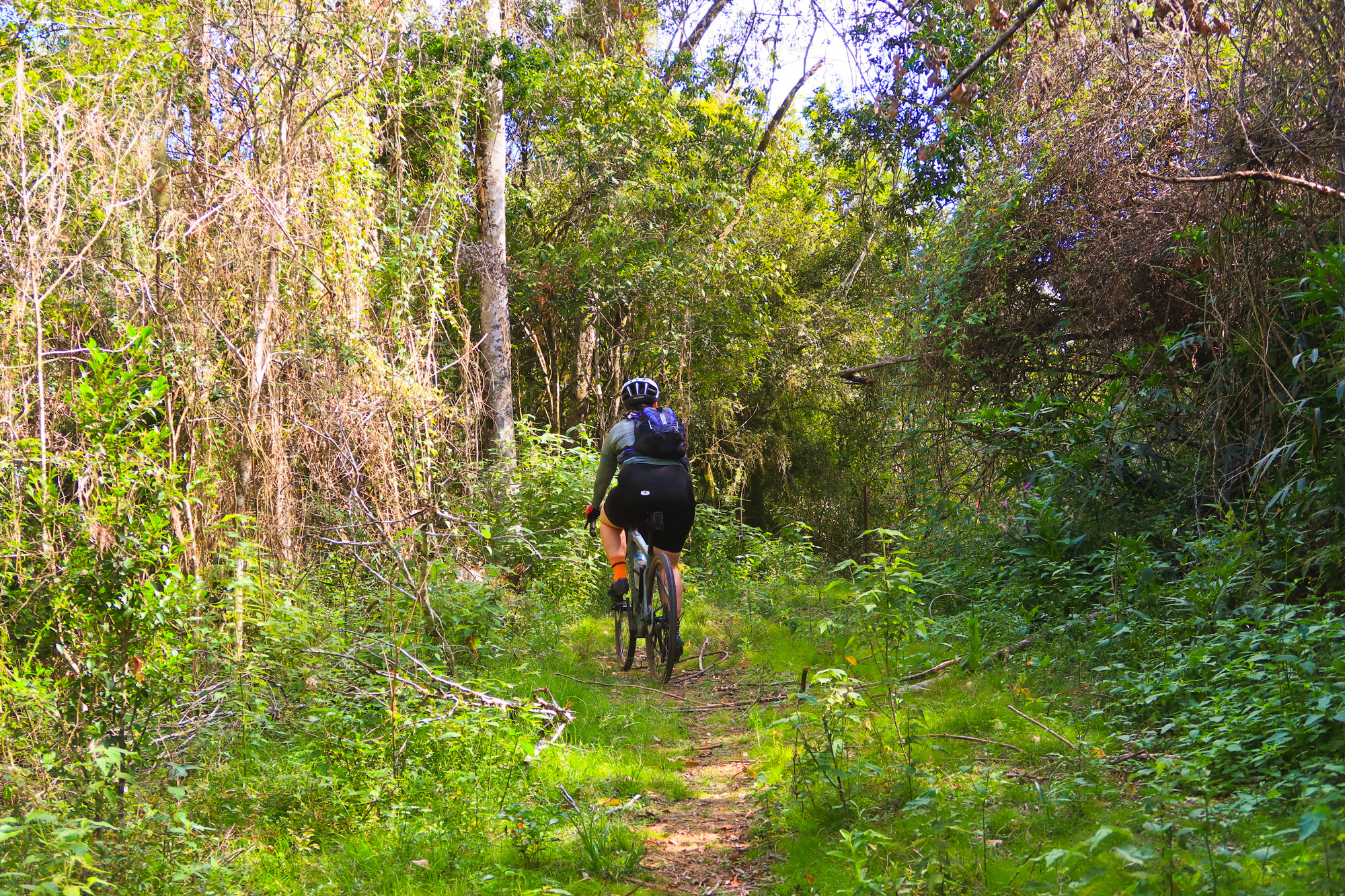
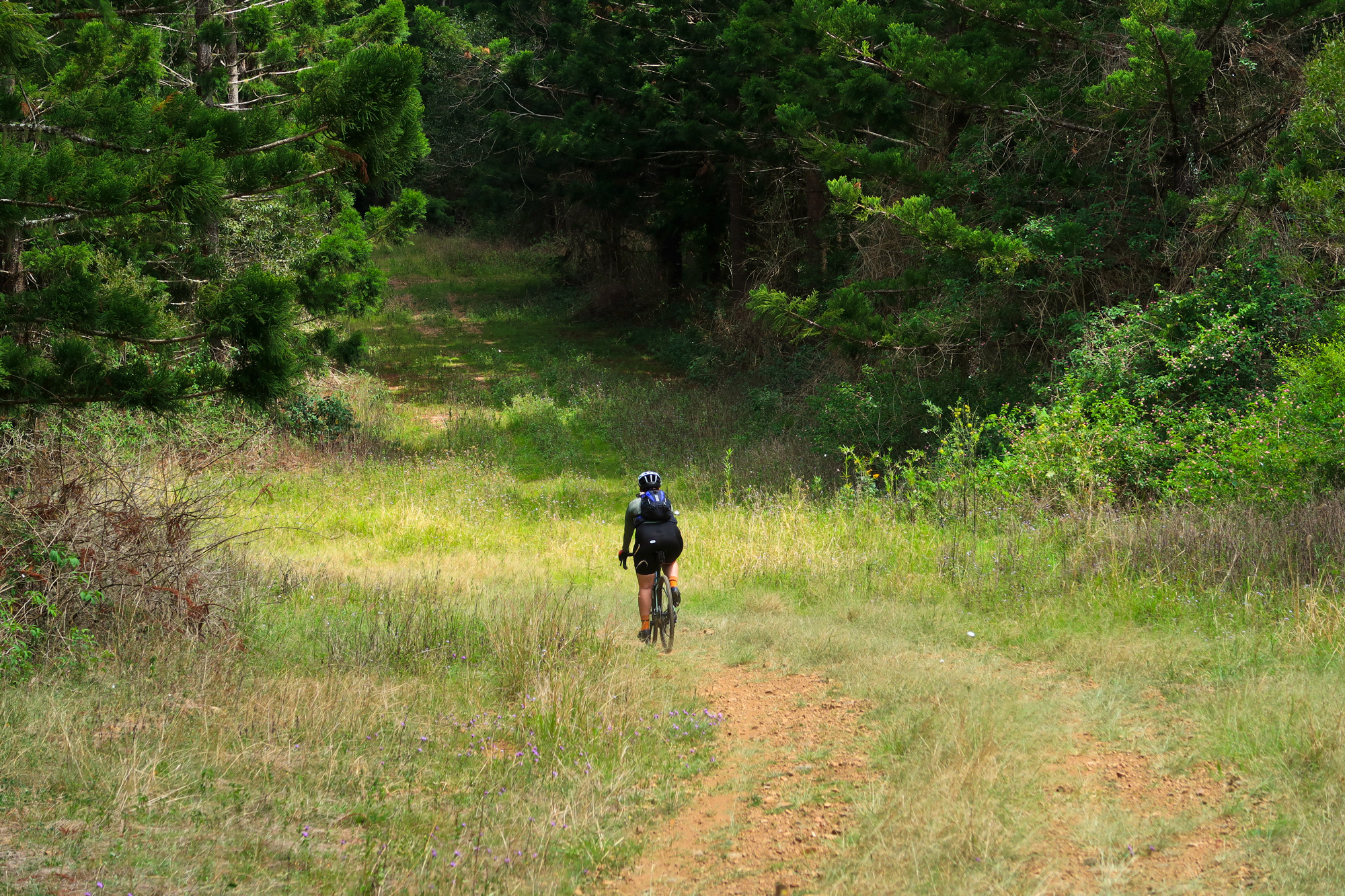
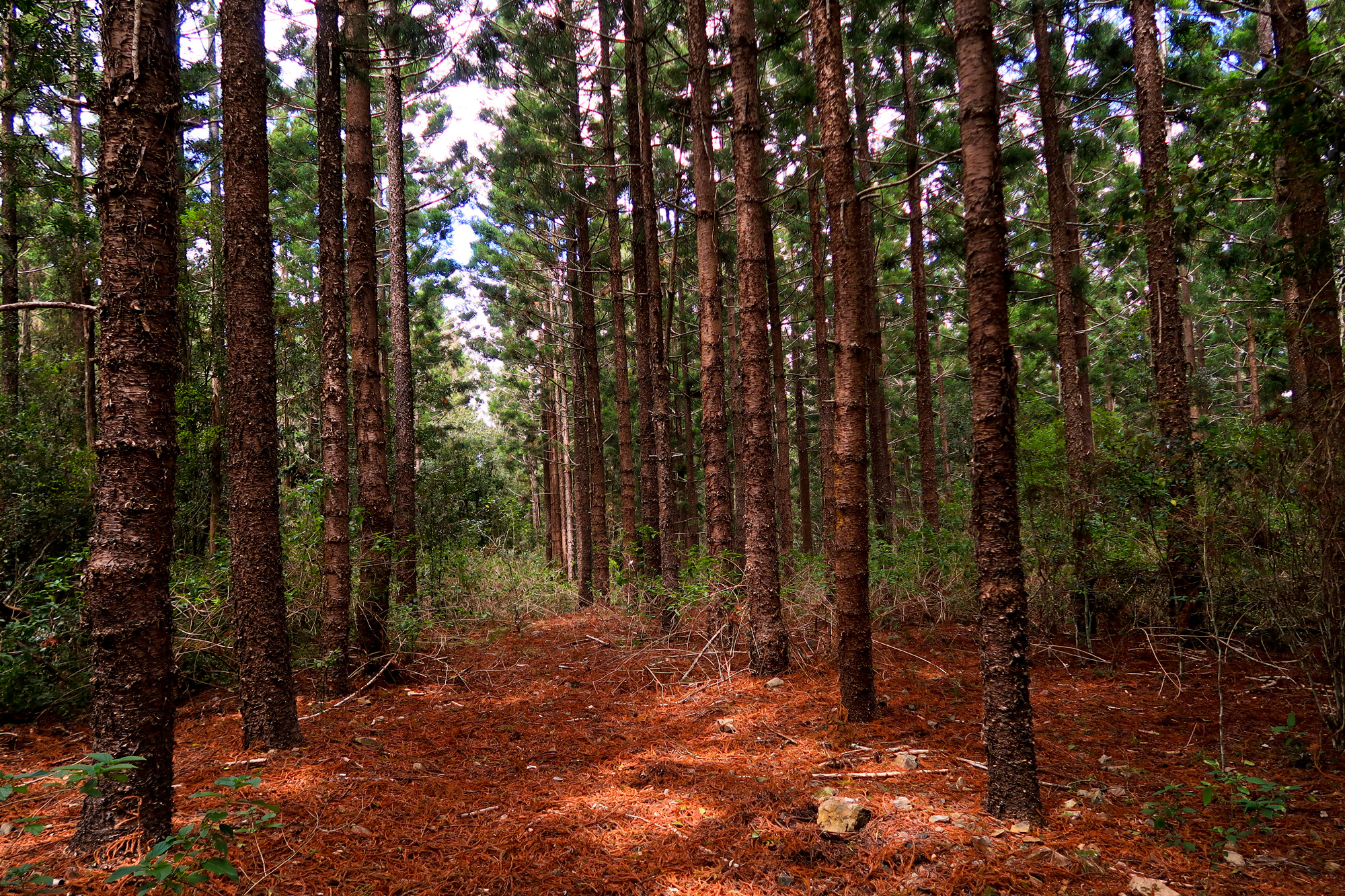
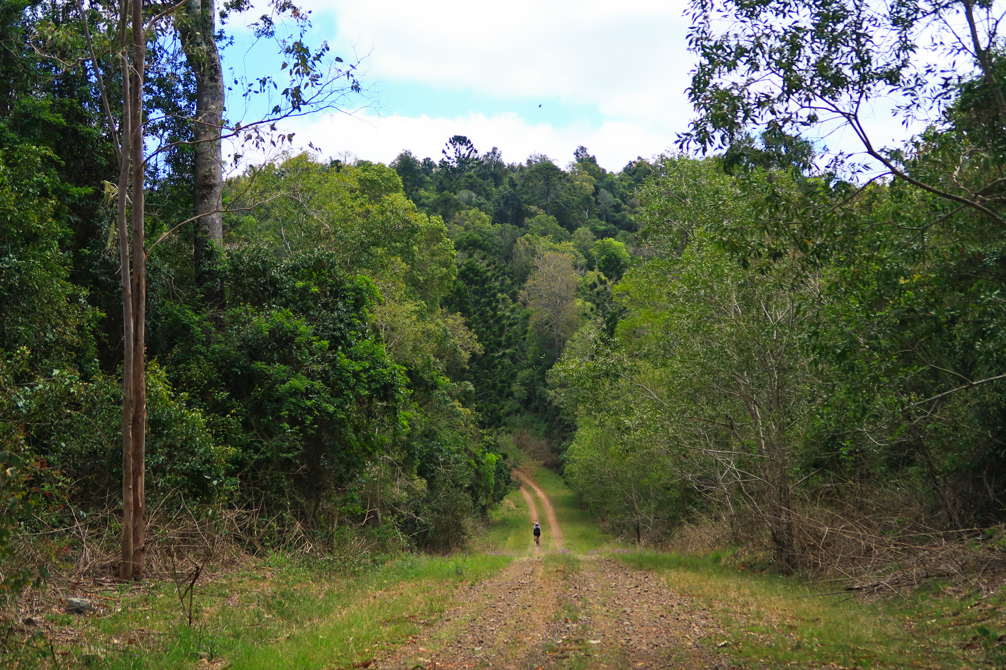
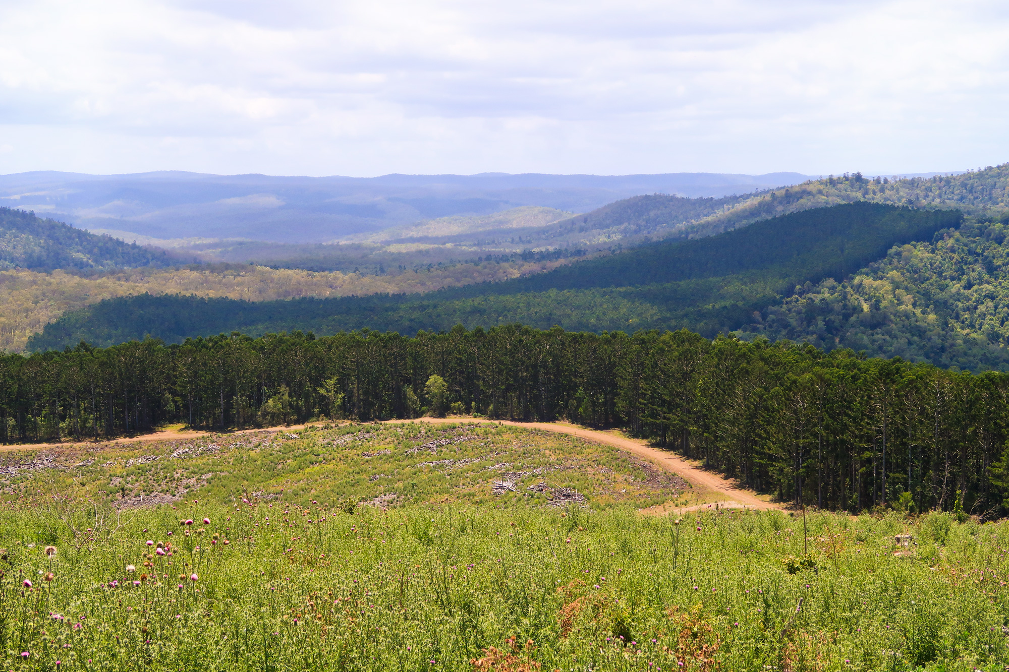
Once we finally arrived at the top there was a short little downhill run towards some more barbed wire fencing on the border of the pine forest where we had a quick food stop. After another short little run through the pine forest and tall grass we popped out onto one of the main logging roads – a road which probably had the last truck on it being a Fire Truck fighting last years fires. After a quick scout we decided to pop back into the pine forest to explore the scenic way as we traversed some of cross roads. It didn’t take long before the first section quickly went downhill – both in terms of elevation, surface quality and the amount of lantana that we could see in the distance.
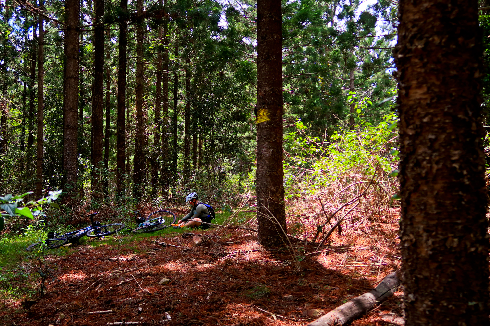
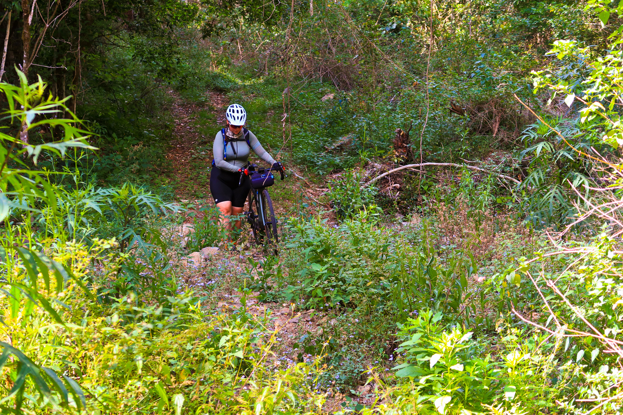
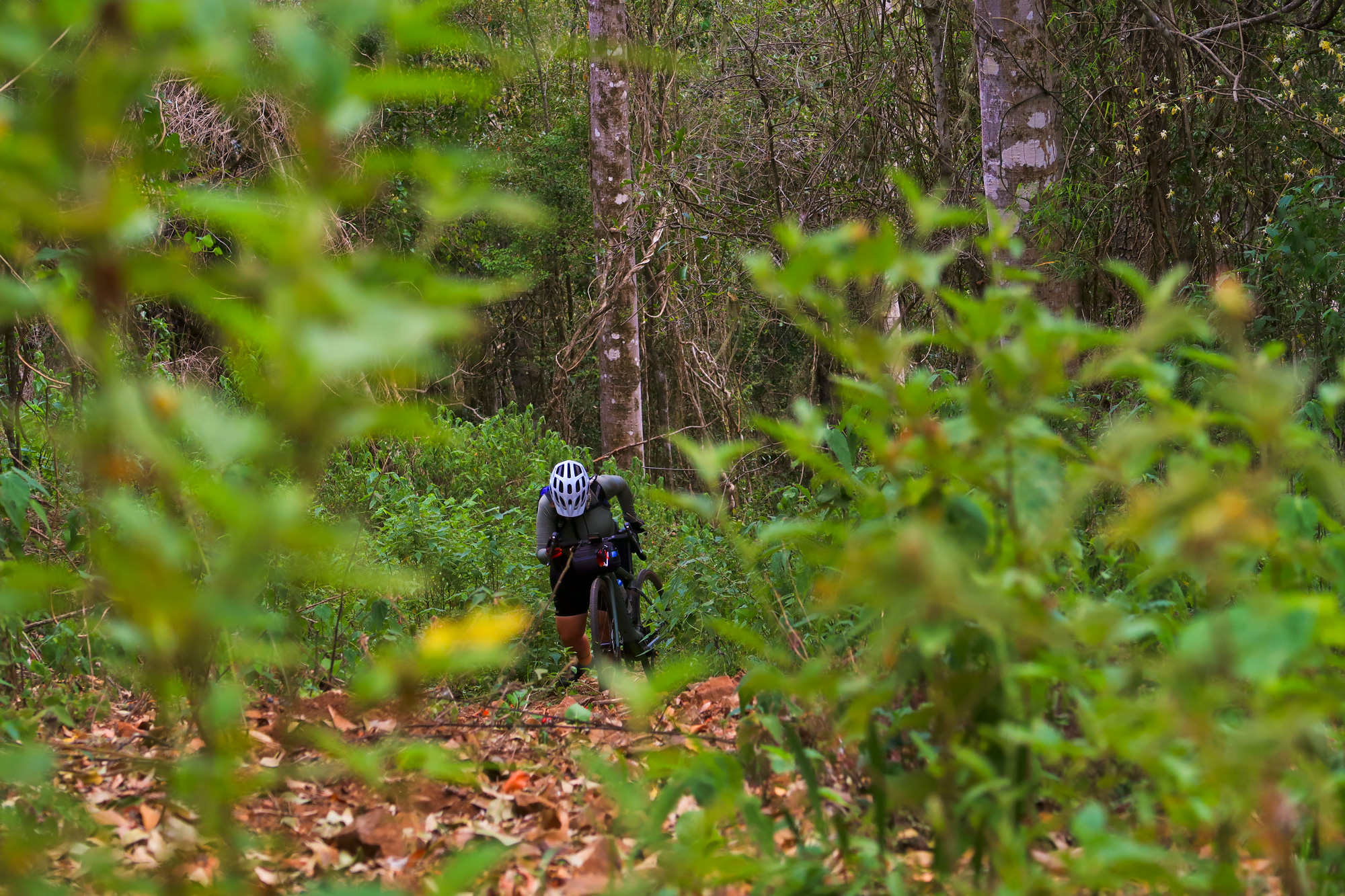
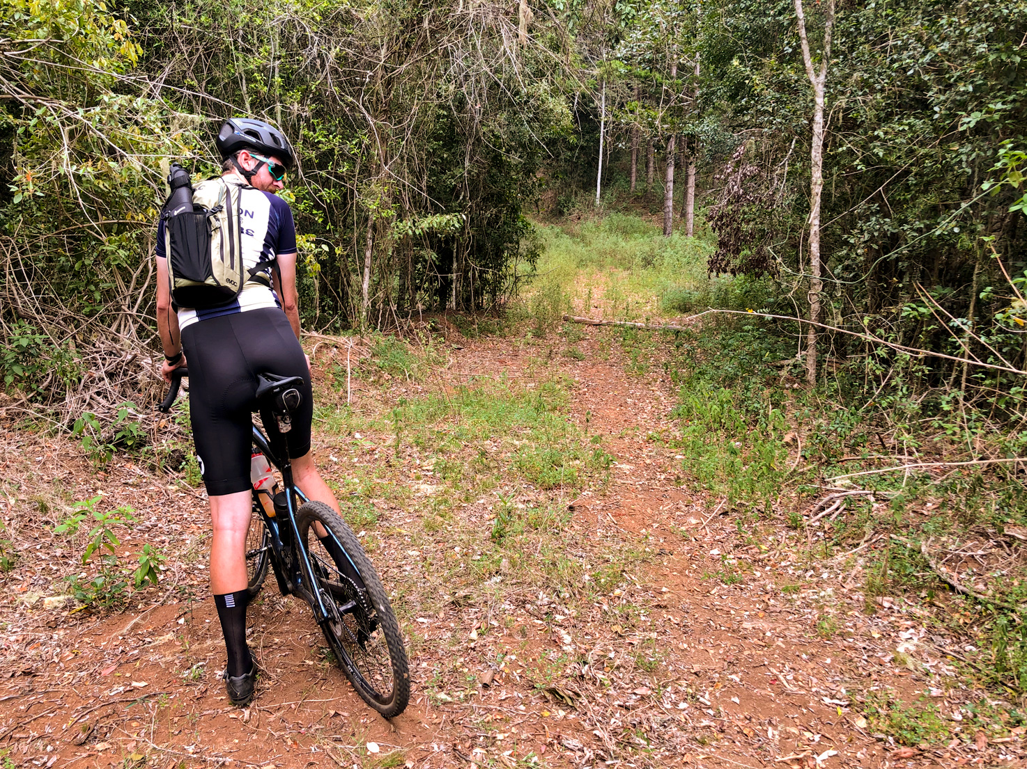
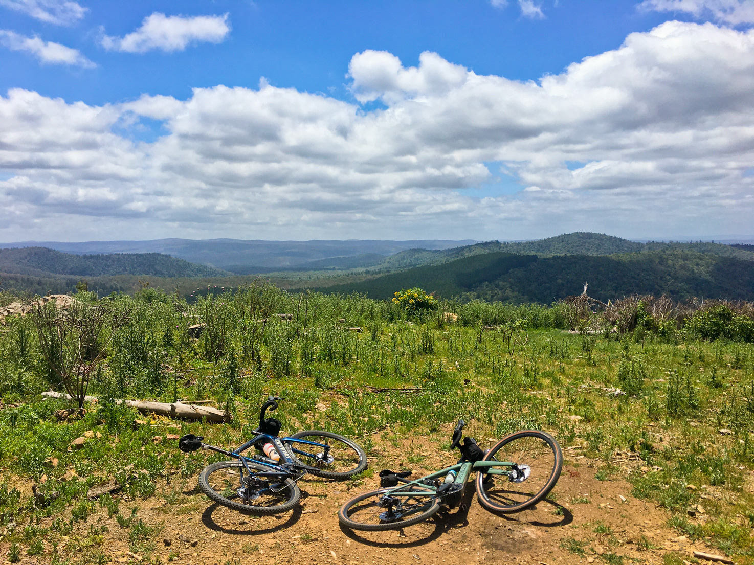
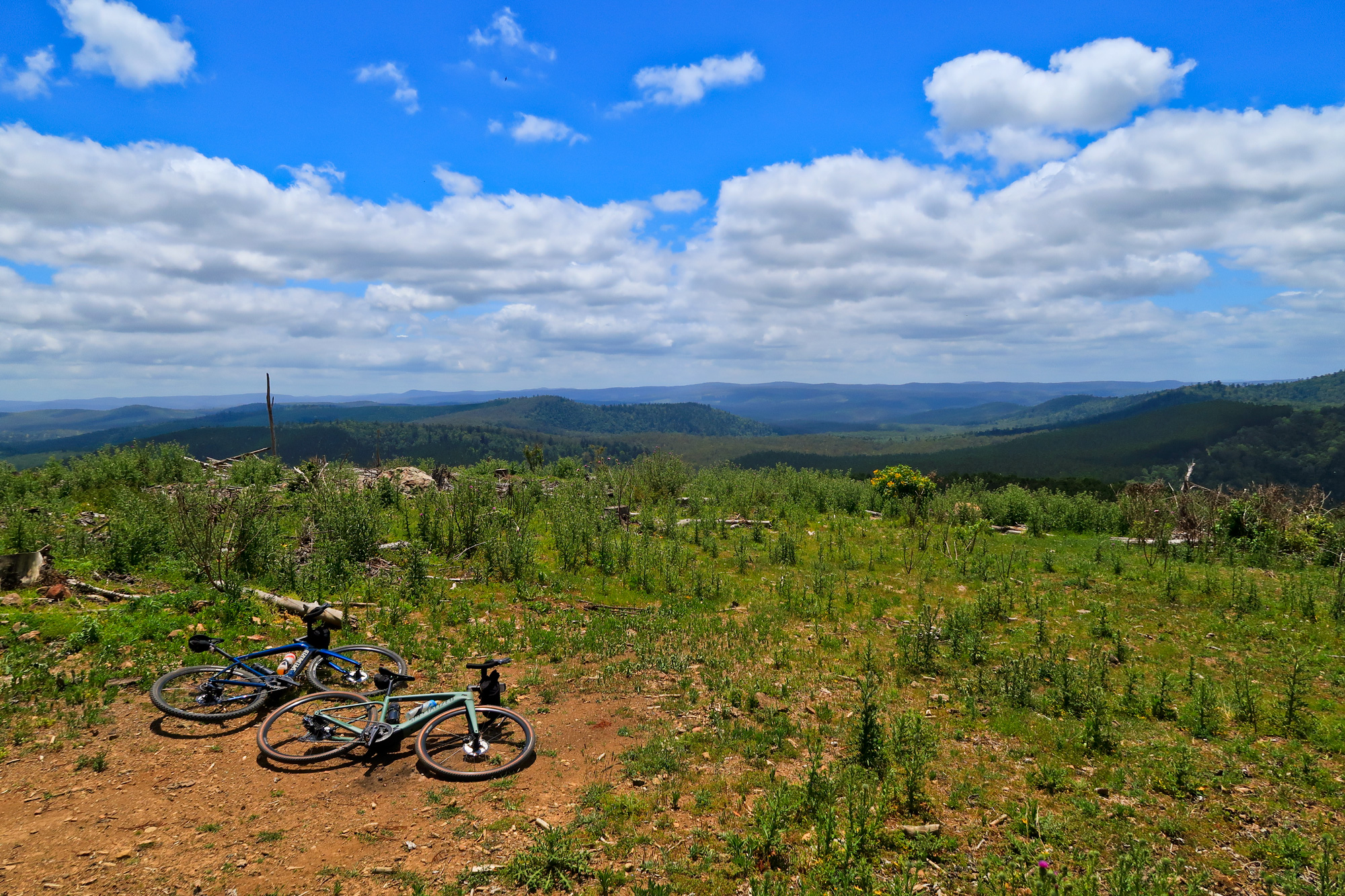
We stopped for a bit to plan another route to meet back up with the main road rather than ride the 350m back to the road. Bronwyn also decided to put some bandaids on as she was starting to get heel problems/blisters from the walking/climbing that we had done earlier. We backtracked 50m and took to route C. A couple kilometres later we passed where we would have come out and it was a good decision not to proceed with that route as the lantana was 3m tall and as far as you could see. And that’s where we then rode into another wall. 130m of elevation in 500m with one section topping out at 46.6% much to the displeasure of Bronwyn’s already sore heels. But once we got to the top (of this section) it was straight back onto the logging road which seemed like a freshly sealed bitumen road in comparison to what we had just traversed. From there it was just an easy 1.5km ride to the start of the descent with the only traffic being the one brown snake that wanted to cross the track.
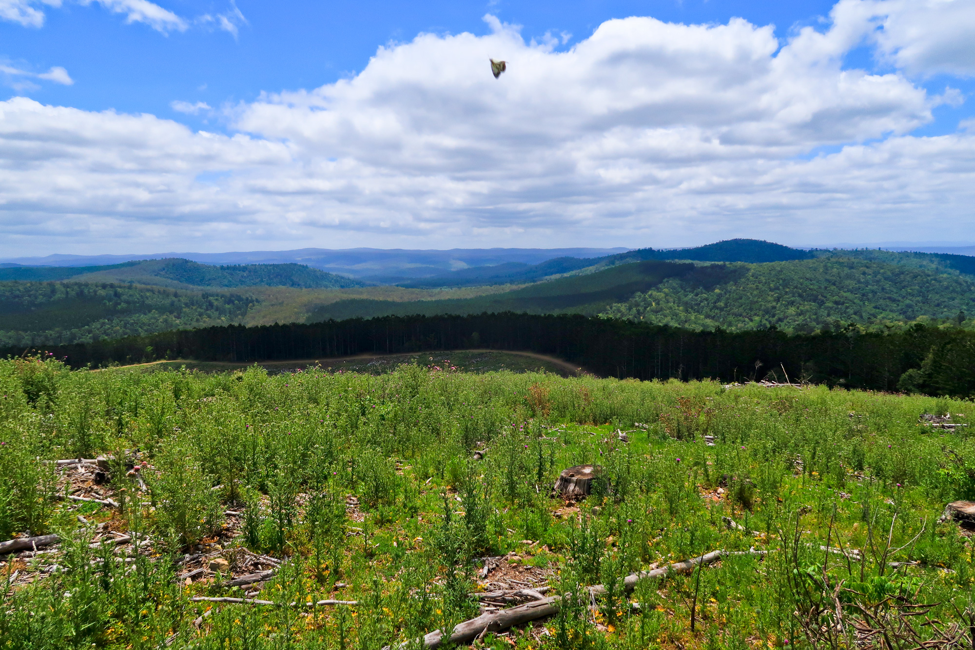
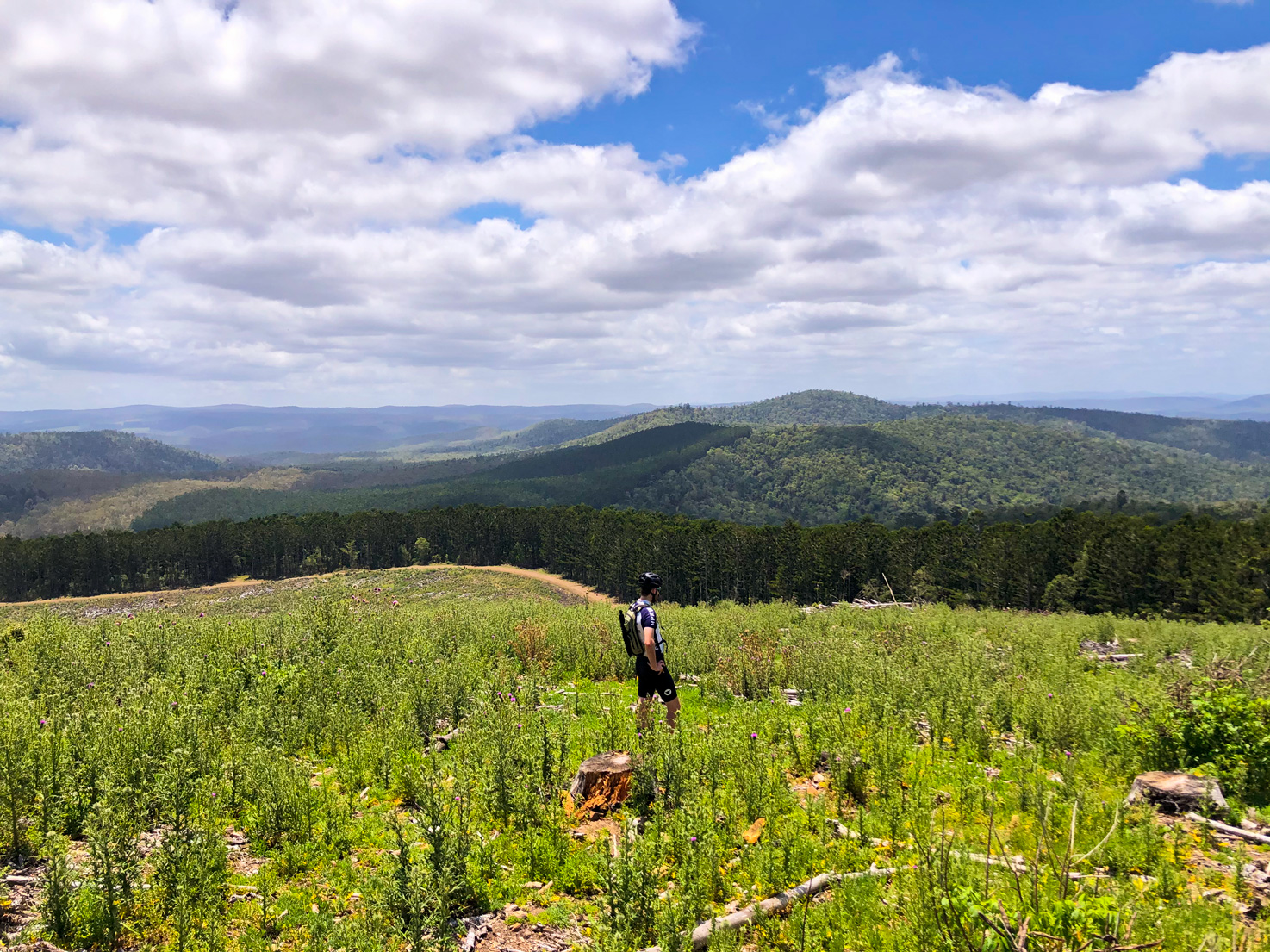
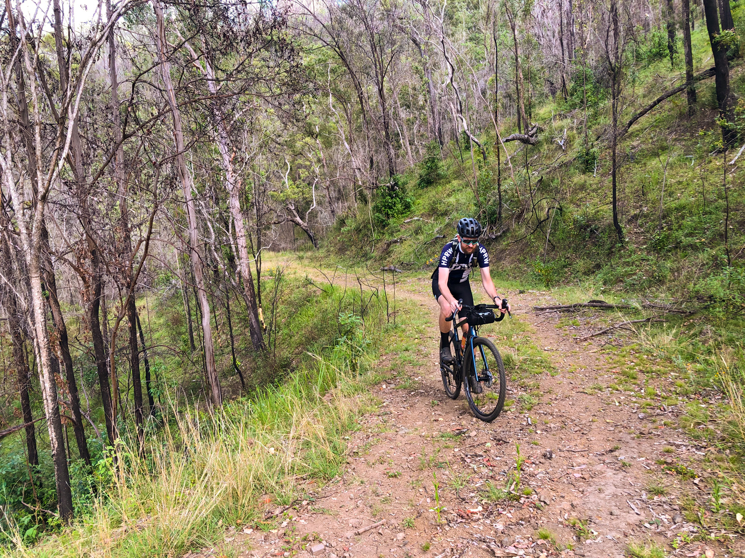
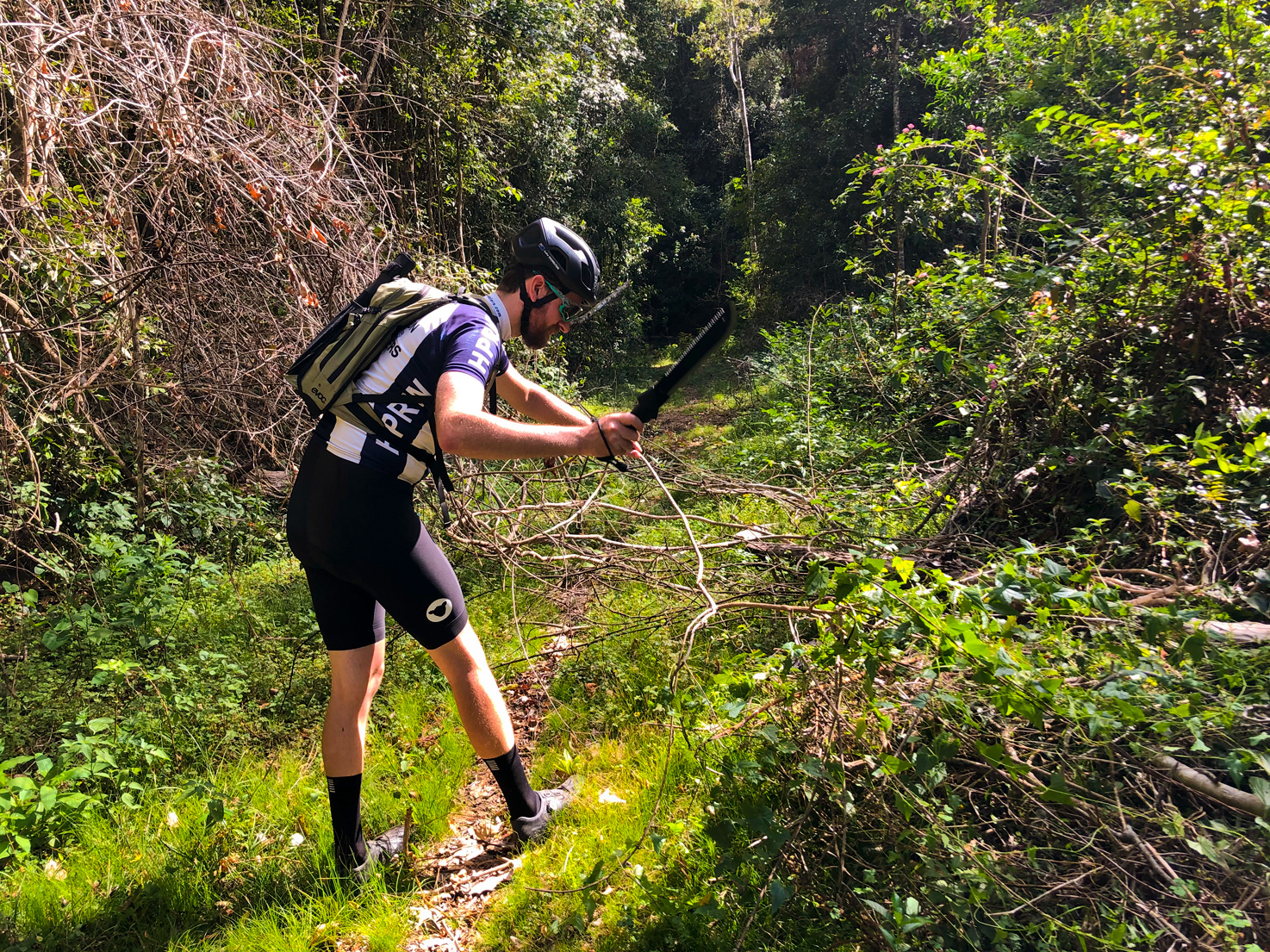
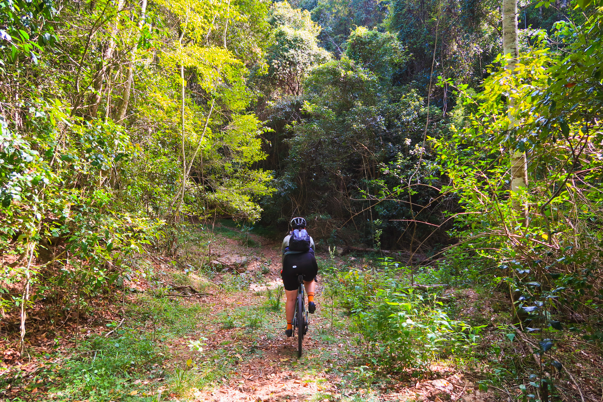
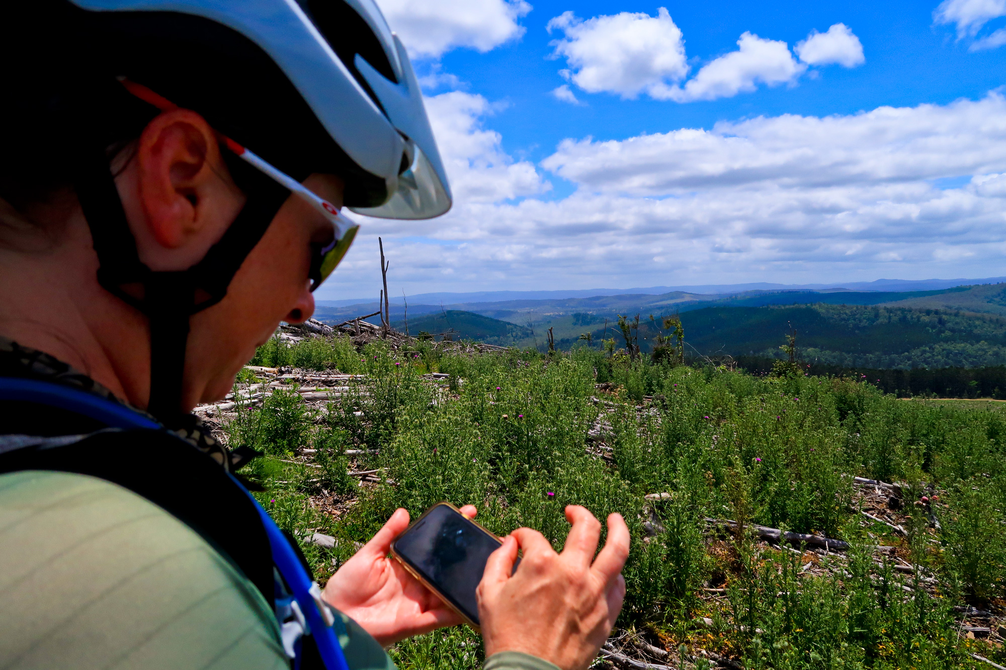
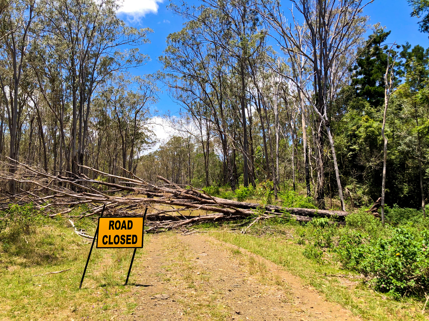
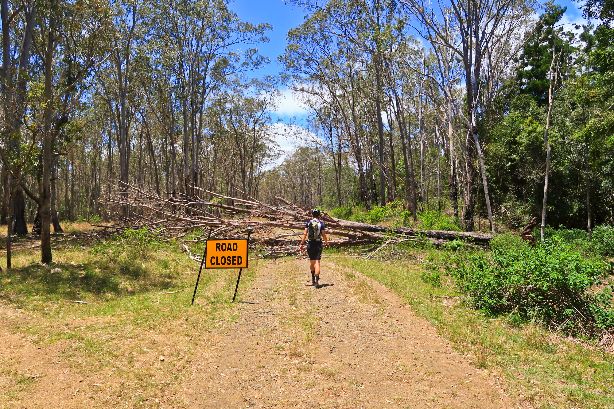
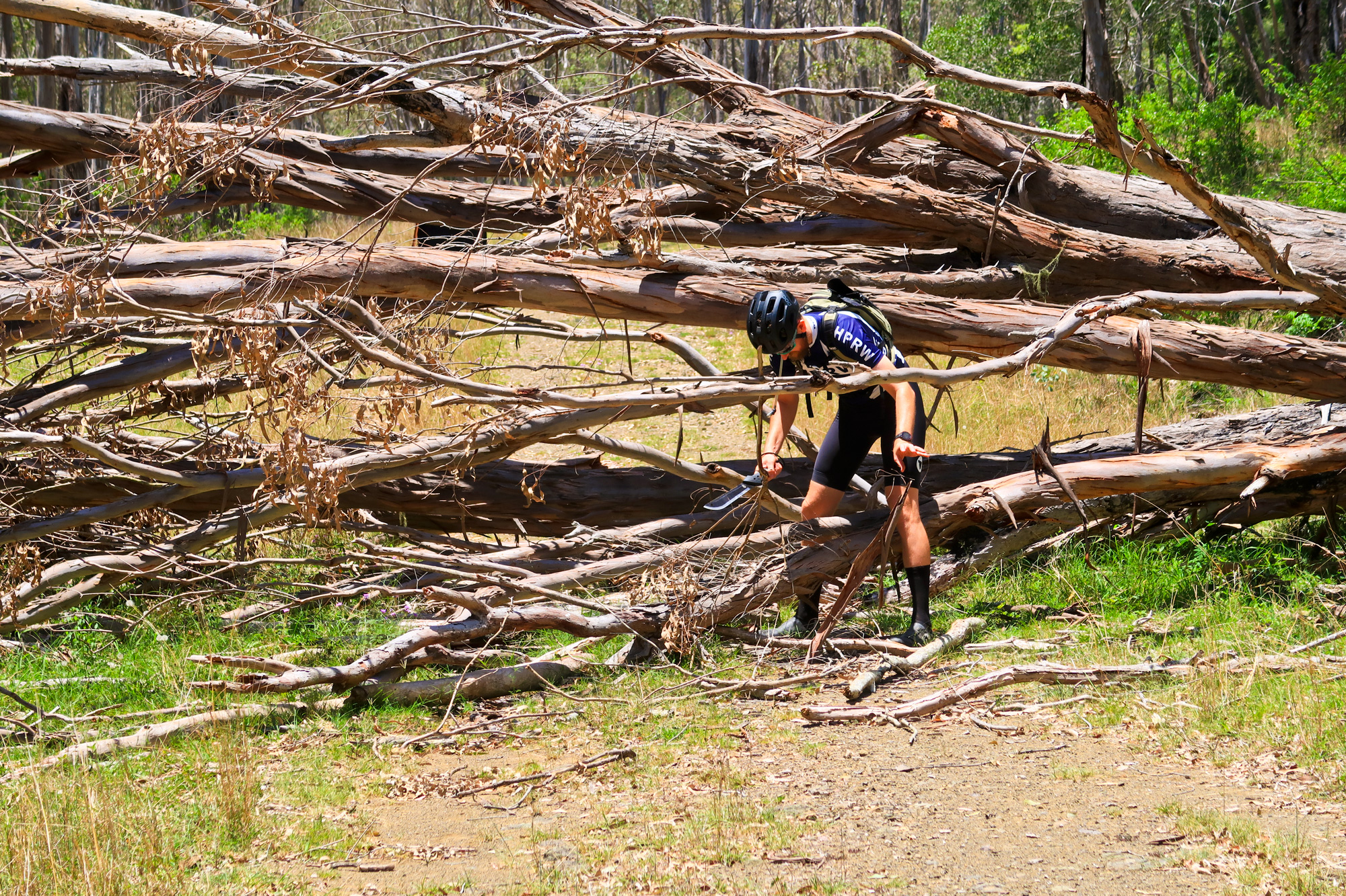
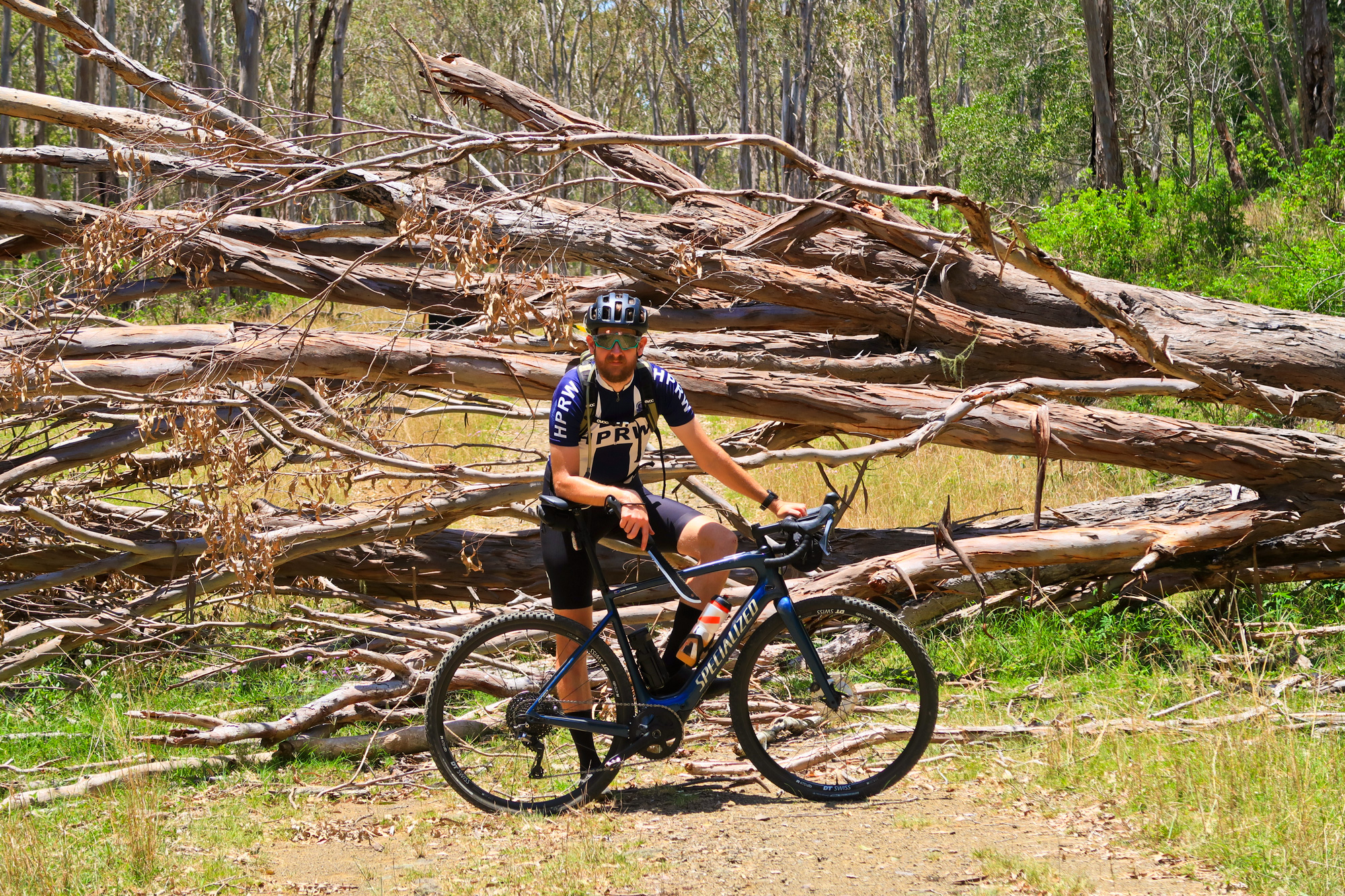
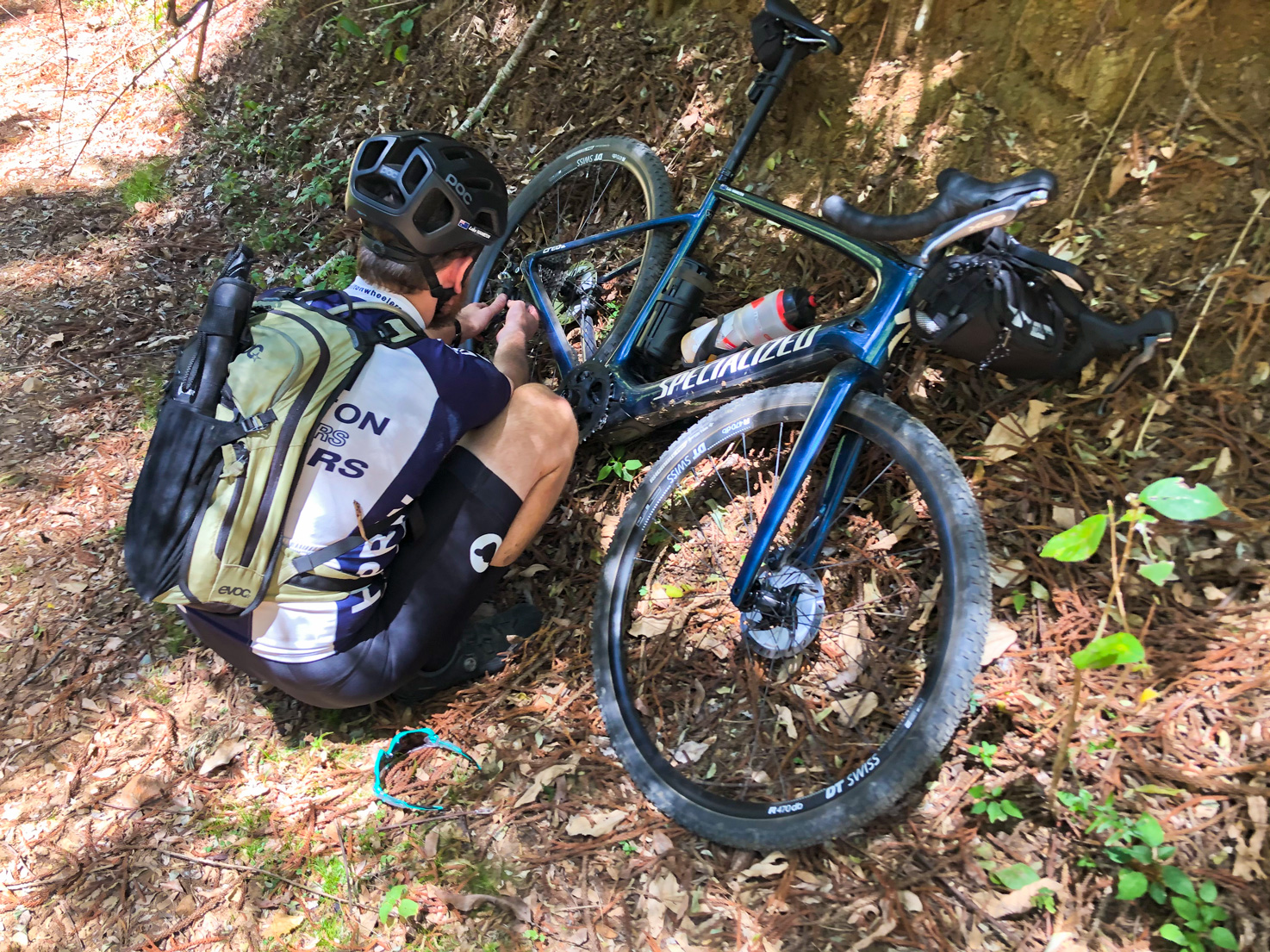
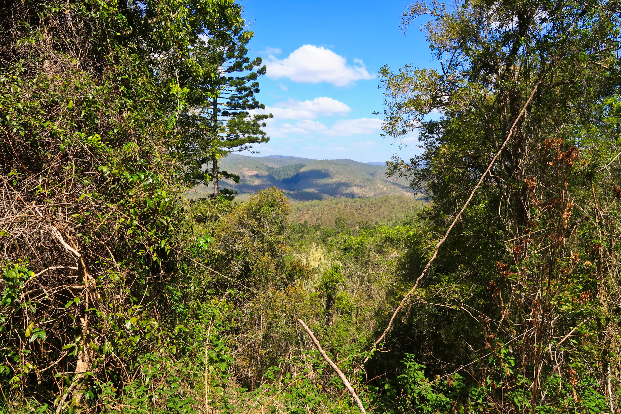
Just as we were about to start the descent we popped out into a recent clearing where we could see all the ridge lines to the north and east. We were even able to spot the Jimna fire tower on the last ridge to the east so we could see exactly where we had to ride to and back. But a quick glance at the time and it had already taken us 3h30m to ride 14km. After some more checking of maps, visual observations, food/water/battery count and with a current air temperature of 37 degrees it was decided that we’d ride to the bottom of the valley and ride back up to the logging track to resume our planned route back – chopping off about 80km of the planned 120km ride. After the quick descent to the bottom we quickly encountered a fallen tree which was no issue with Luke and his machete until he got bored and rode around the tree with a ham and pickle roll in hand. As we turned off to start the climb back up to the logging track Luke’s chain came off and got stuck between the crank and frame. Once back on it only took 5 meters before the chain came off again and got stuck. Little did we know but it was the first signs of the clutch on the rear derailleur failing under torque from the motor combined with the poorly designed chainring that Luke could see ‘walking’ under certain conditions. Once stock was finally in Australia we’d later replace both the stock Praxis chainrings with much better designed Wolftooth variants and haven’t had an issue since. Due to the 17% incline and the torque throwing the chain off Luke had no option but to walk the bike up the hill to the logging road and try to remount on the flatter 11% section. Once back at the top it was a casual ride back to the start. Bronwyn got a small nick in the tire which needed a plug which was easily repaired. The descent back down to the valley was short, sharp and rocky but overlooked the Brisbane River Eastern Branch as it snaked through the valley below. It wasn’t until we had got to the final descent where we passed two blokes (one of which was on an old Norton) attempting to do the rocky climb that we were now descending – I don’t think they were expecting to see two people flying towards them flying over ruts and loose shale rock let alone doing that on bicycles. It was also at this point that we realised that these were the first people that we had seen since we started the ride some 6-7 hours earlier and the first people we saw since we left Linville 8-9 hours earlier.
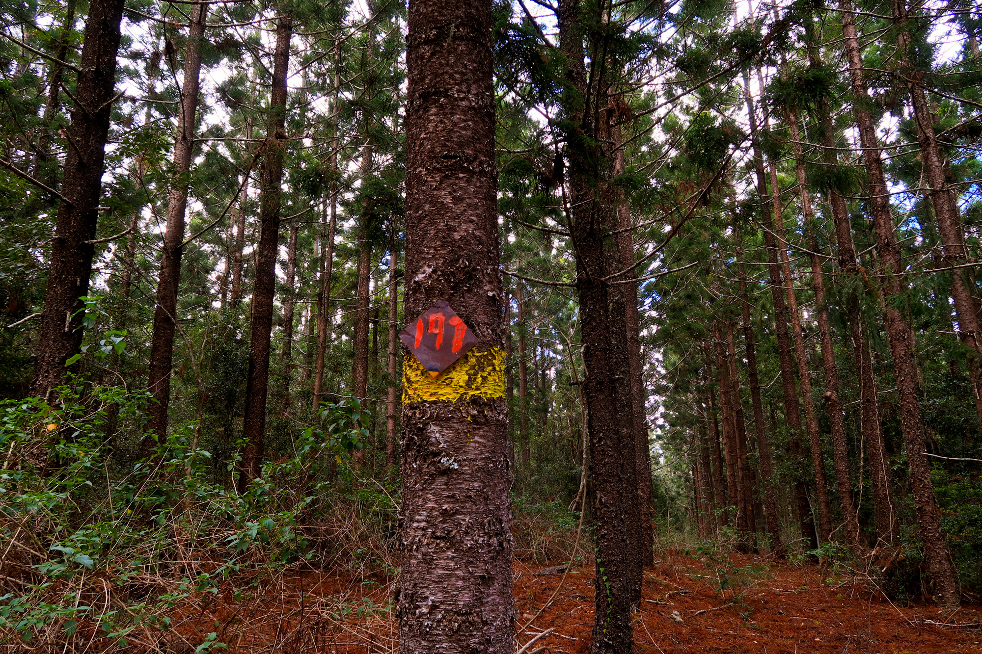
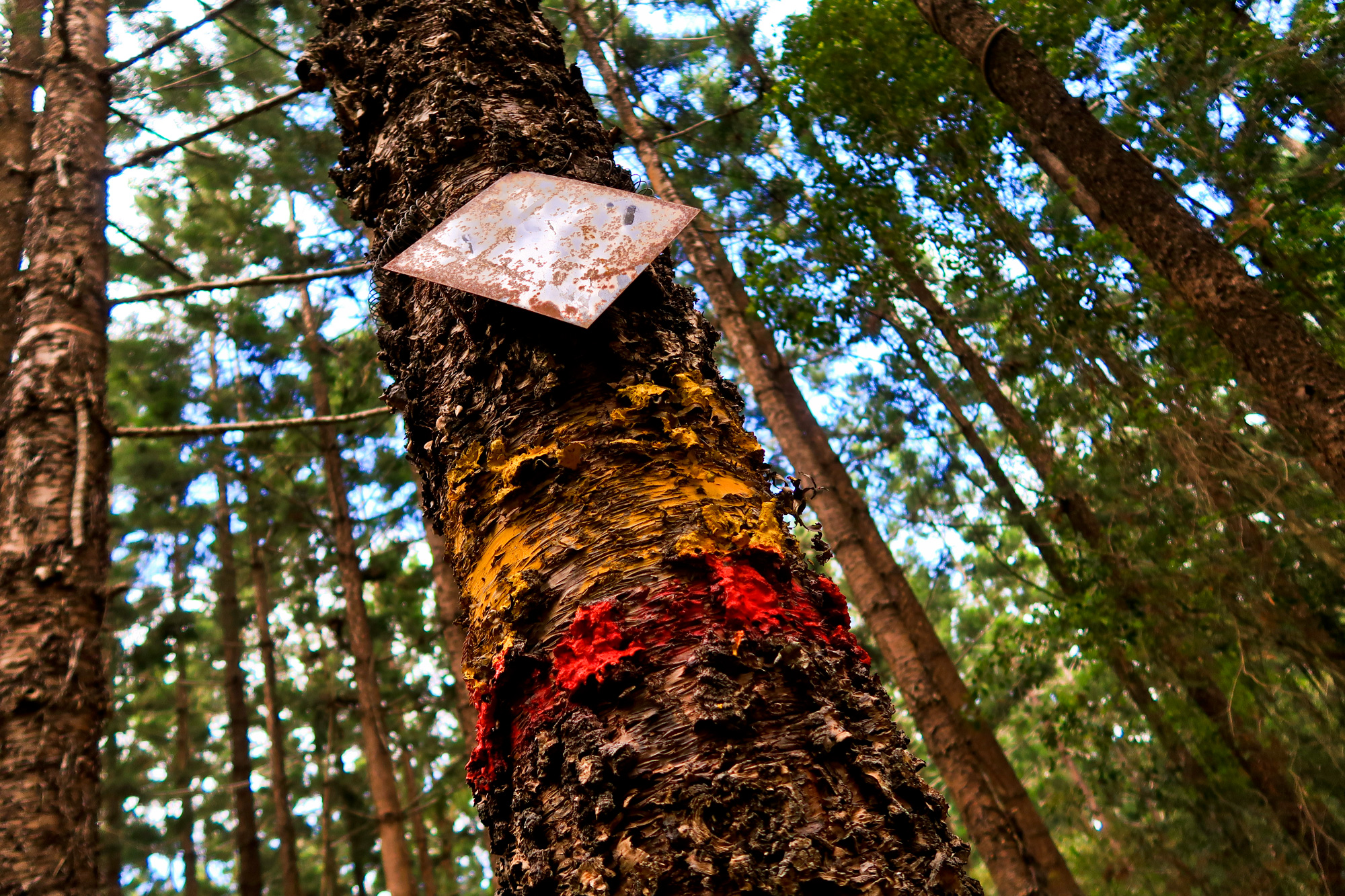
Although we didn’t end up doing the planned route to Jimna and back as always Luke was constantly doing reconnaissance throughout the ride using various maps and marking potential corridors that could be reviewed and ridden later as we went past. After a couple exploring expeditions now we just need to get some free time and head back out for some more exploration of what is a very remote area. The only communication we had available was via the Garmin inreach with our phones not even activating SOS modes due to the tree cover and various steep valleys.