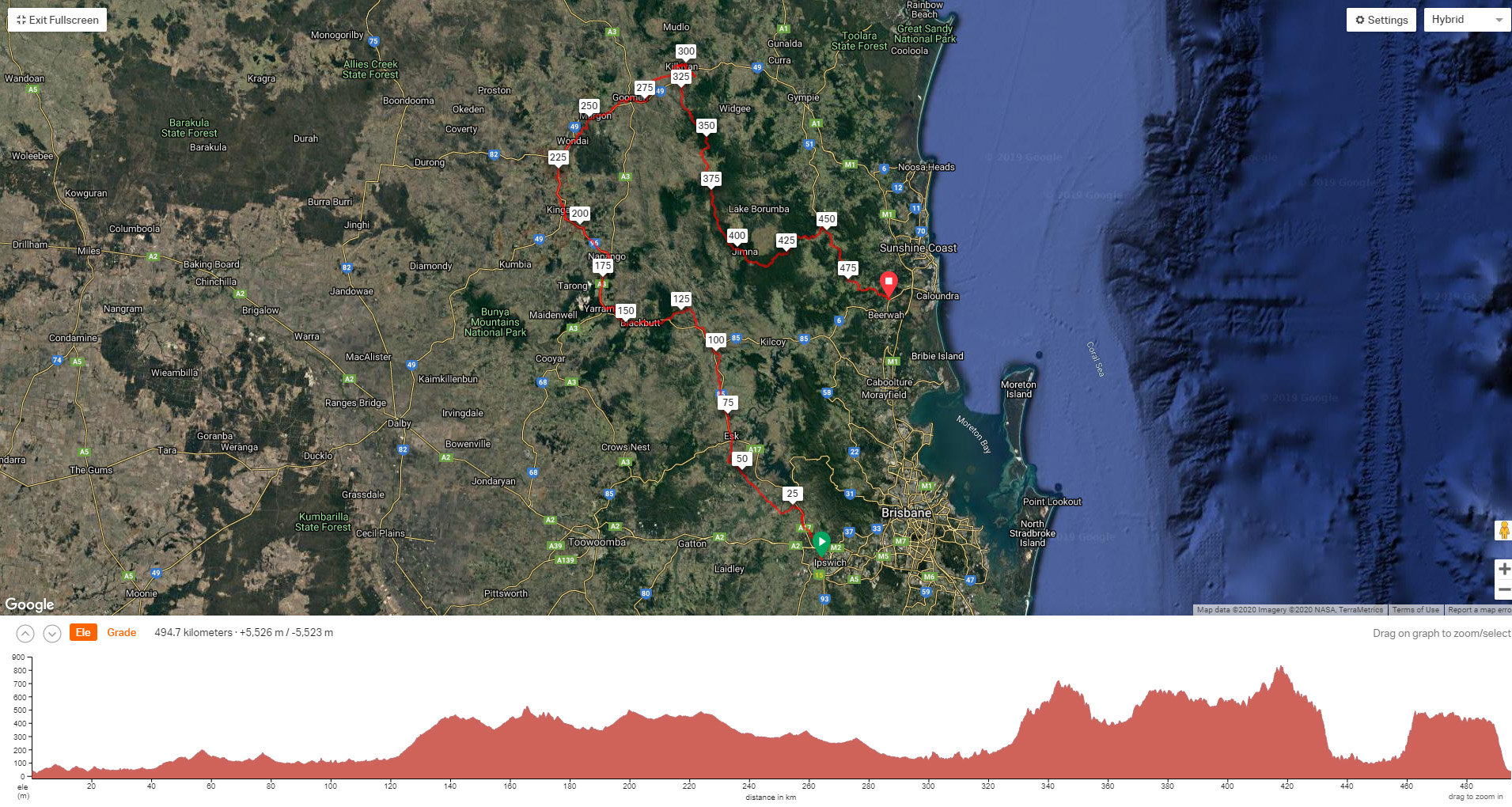
2019 tour de RAIL TRAILS + KENILWORTH VIA JIMNA SPECIAL
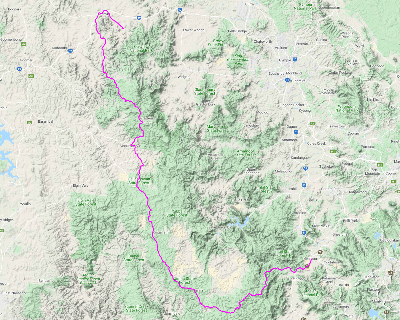
Wulkuraka – Esk – Yarraman – kingaroy – wondi – kilkivan – jimna – kenilworth
7
days
488
kms
6805
meters climbed
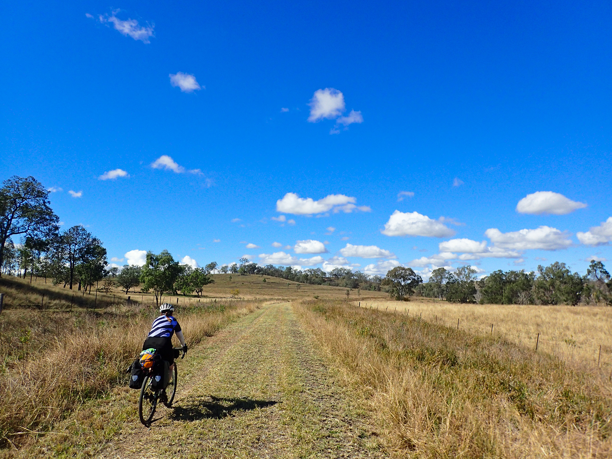
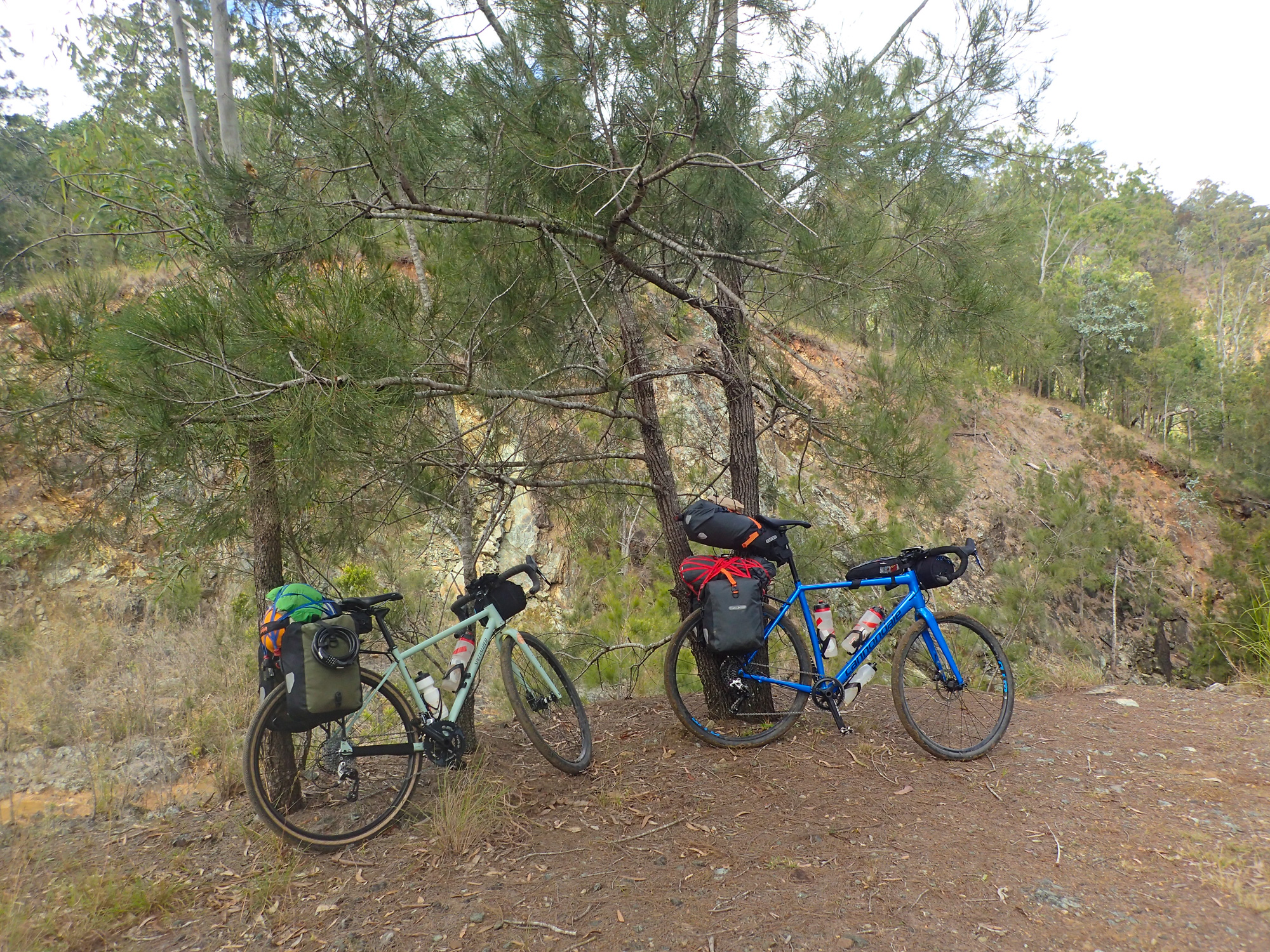
Starting in Ipswich and finishing up in Kenilworth we headed north along the Brisbane Valley and Kilkivan Rail Trails before heading south back to Kenilworth via Jimna and Sunday Creek Road. The ride also took in various state and national parks and forests. Unfortunately not all of the riding was achieved or went according to plan.
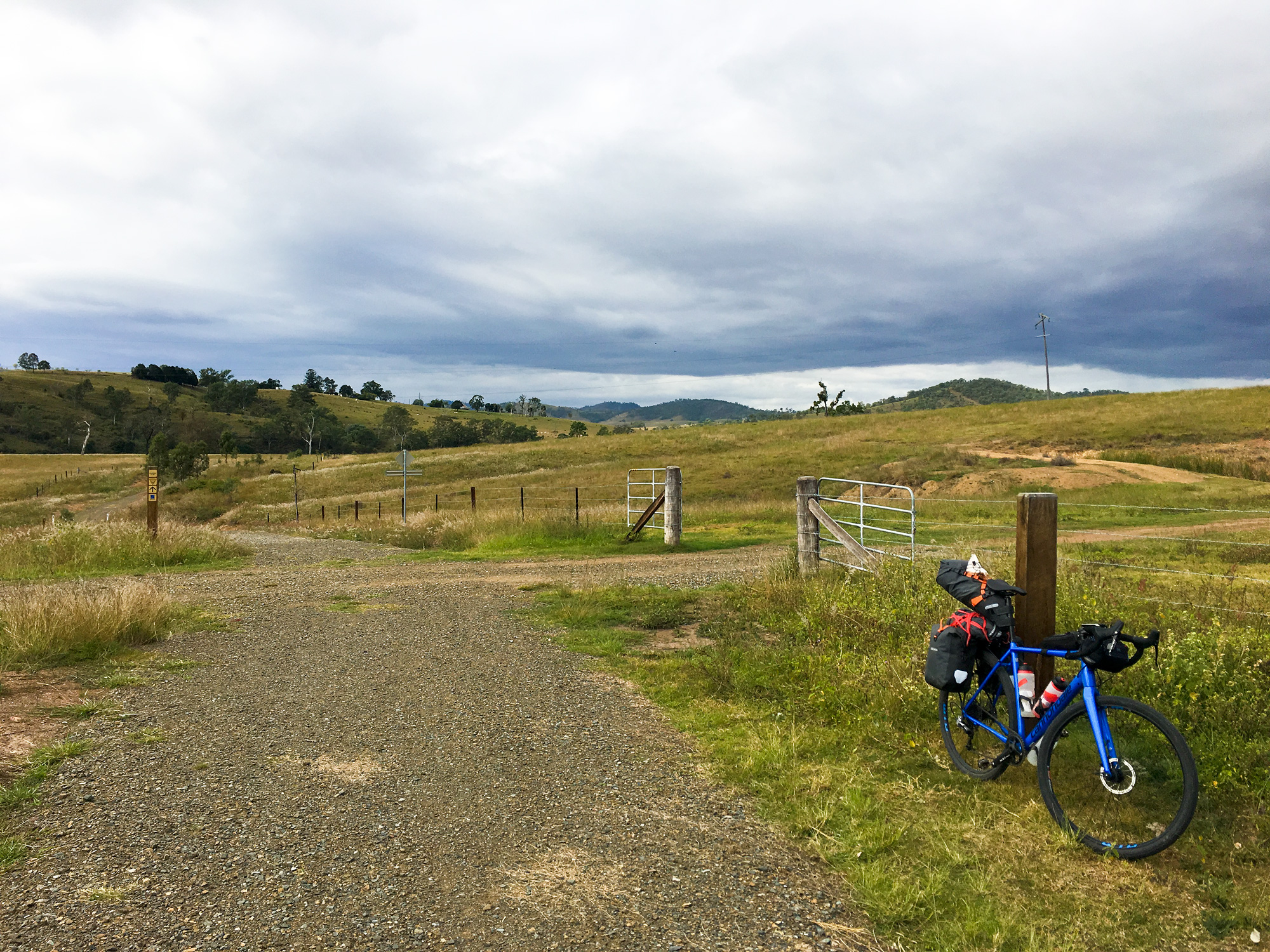
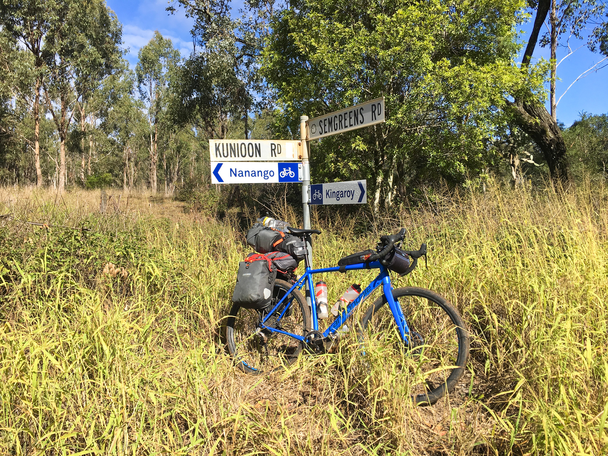
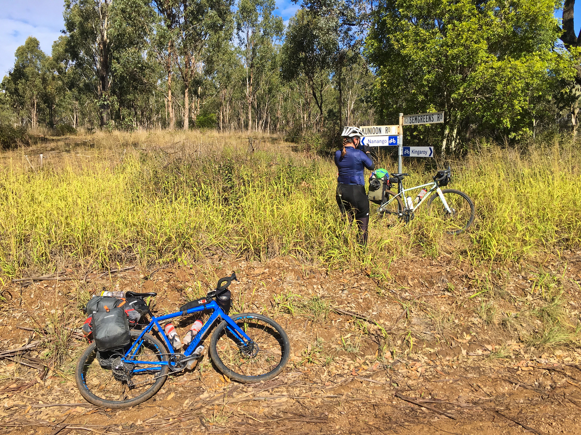
The original plan was to catch the train from Brisbane to Wulkuraka and ride to Landsborough via Kilkivan/Kenilworth/Maleny and then catch the train back to Brisbane with a couple ‘rest’ days riding around the Yarraman and Kenilworth state and national forests. It was estimated to be about 500km in length and 5500m of elevation gain (+ the exploration rides at Yarraman and Kenilworth).
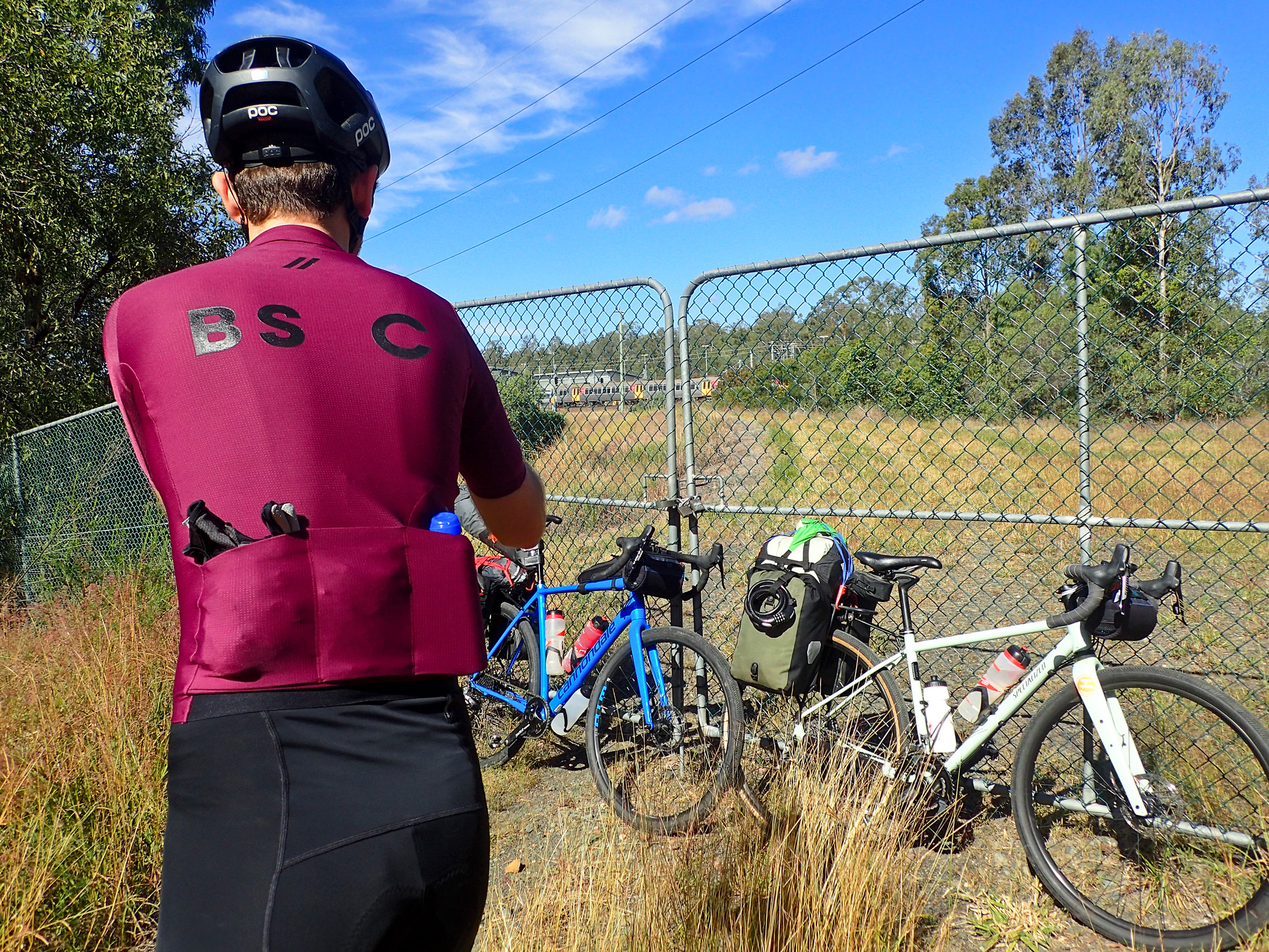
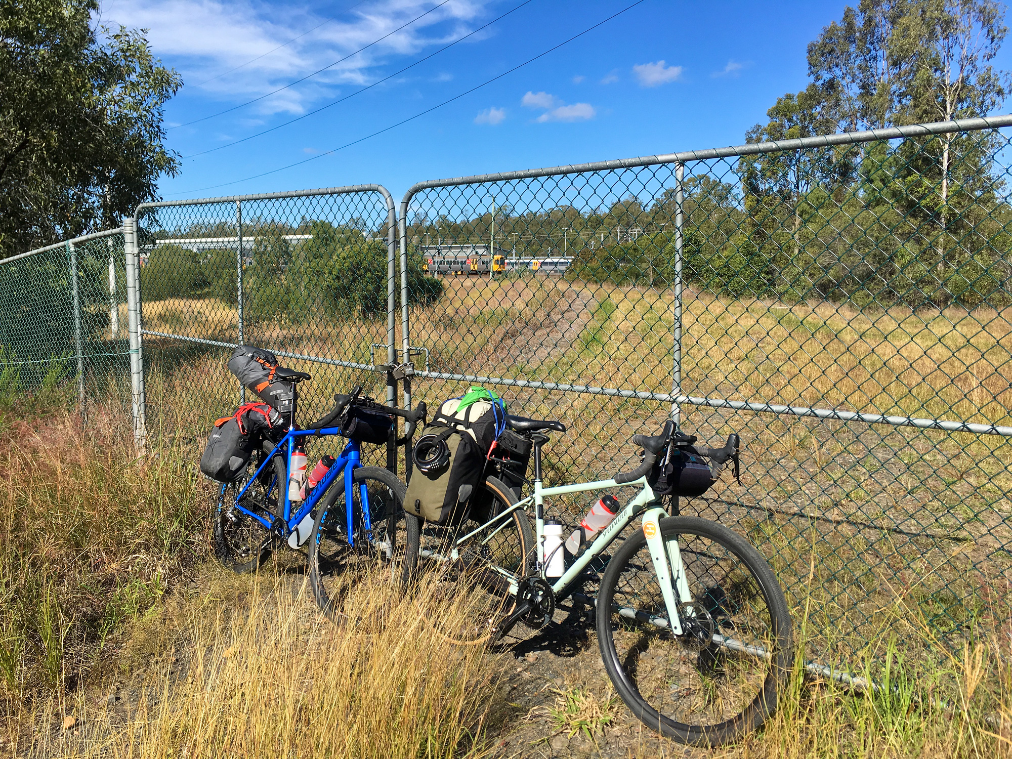
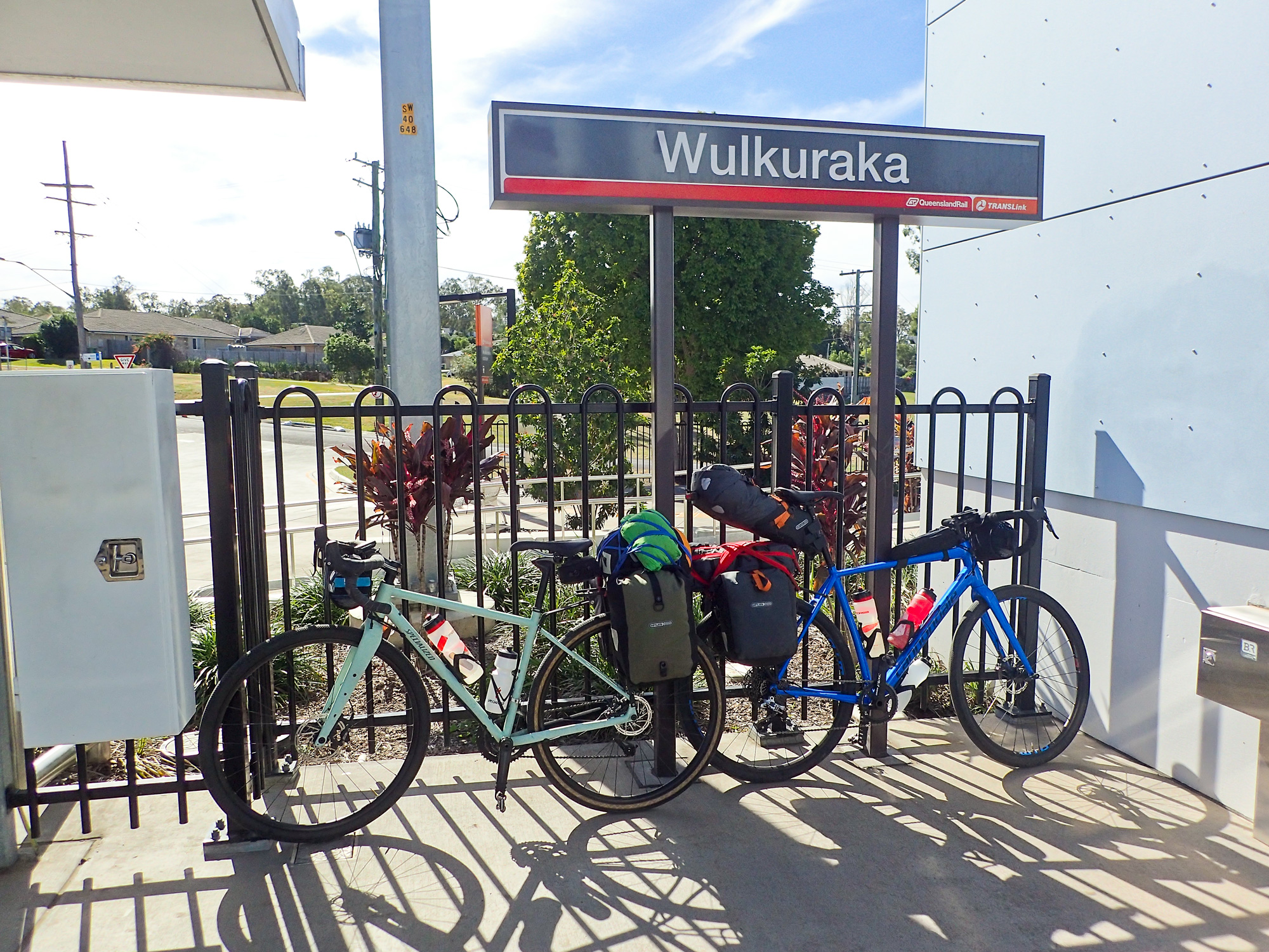
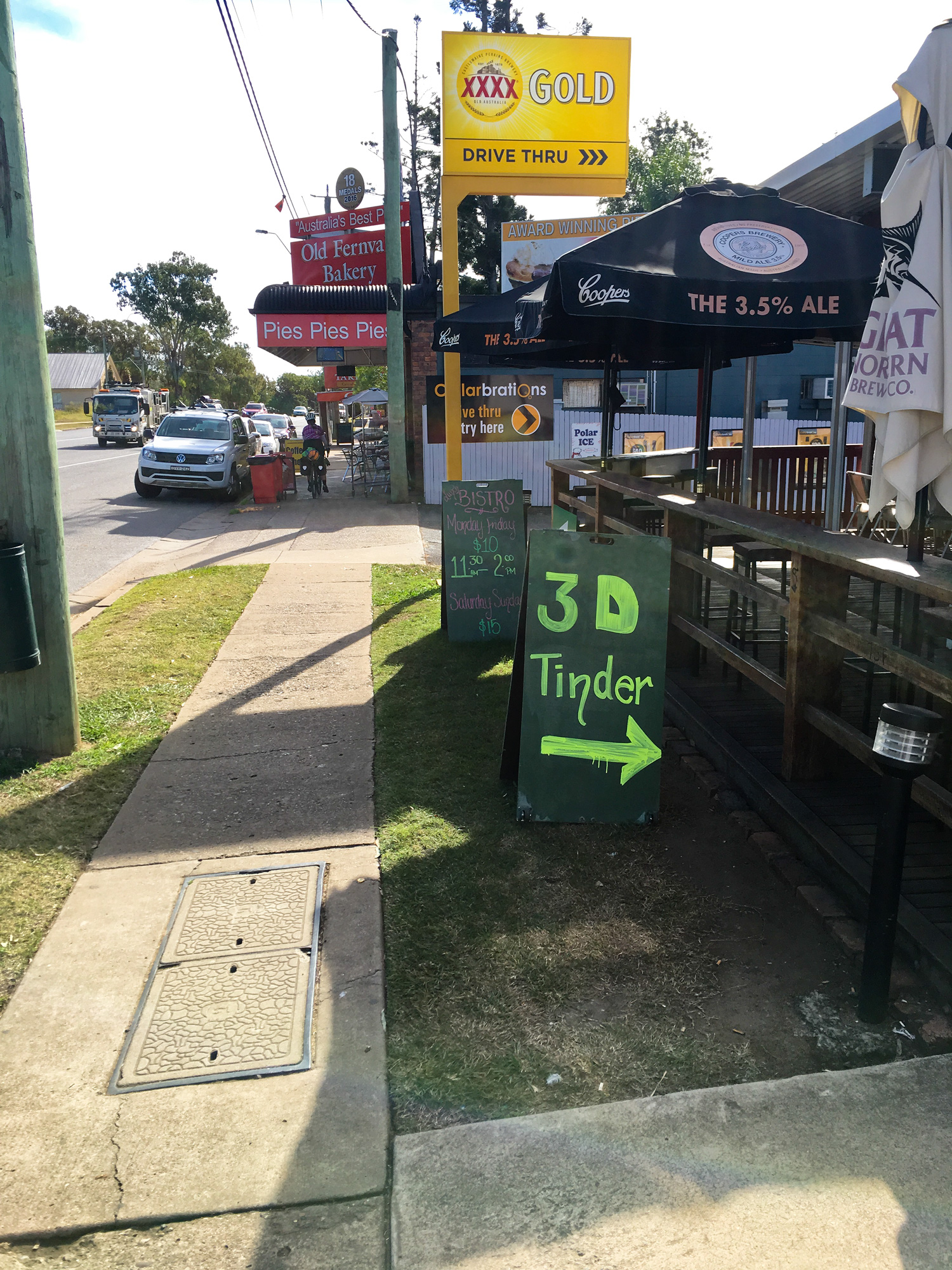
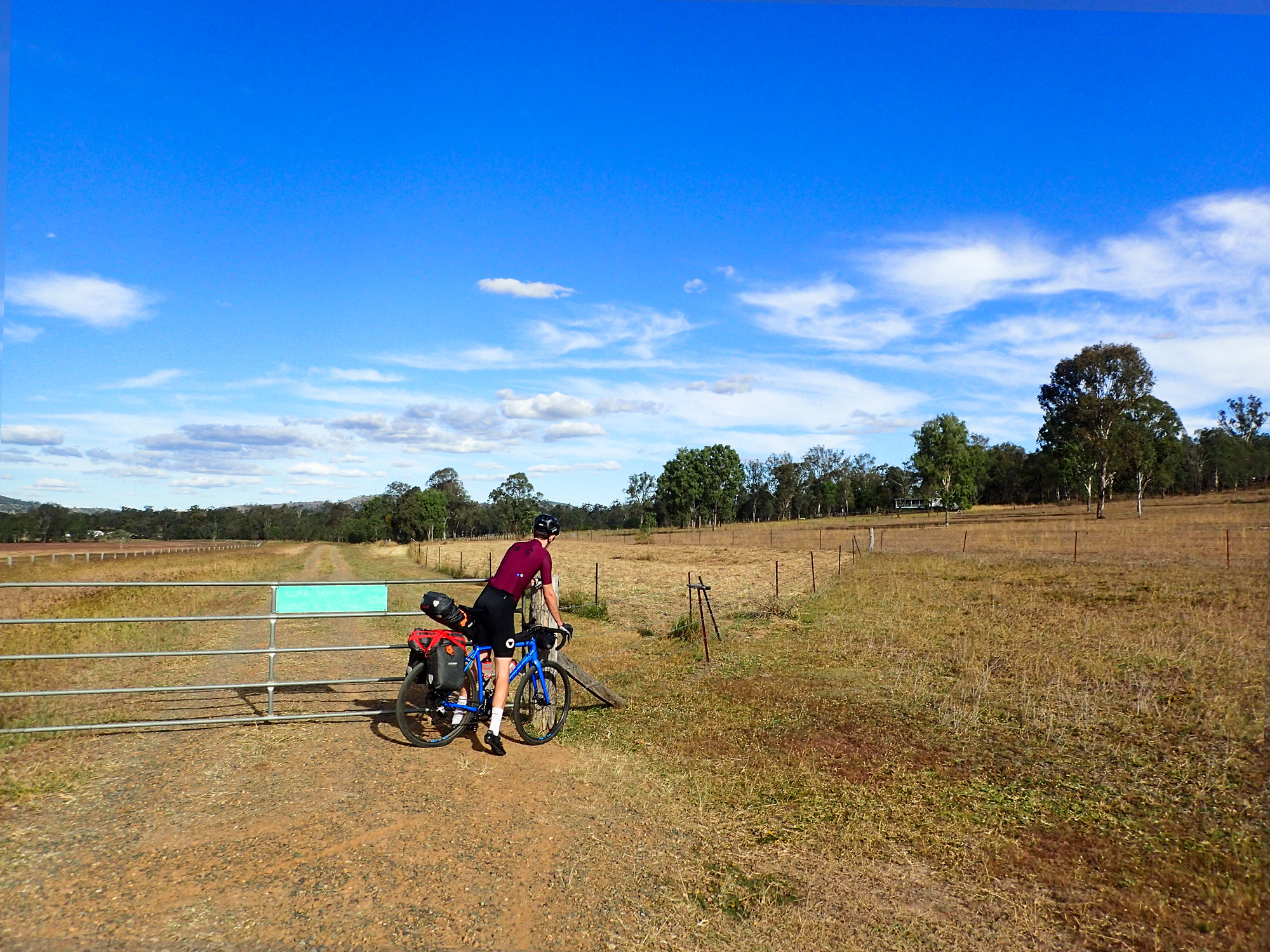
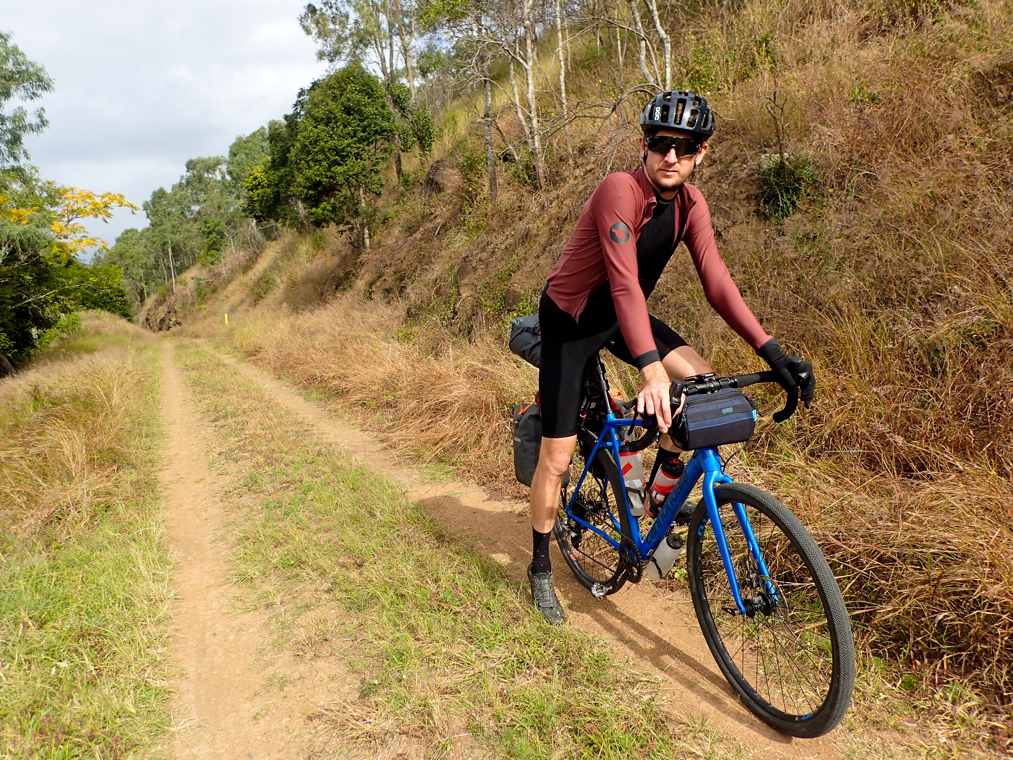
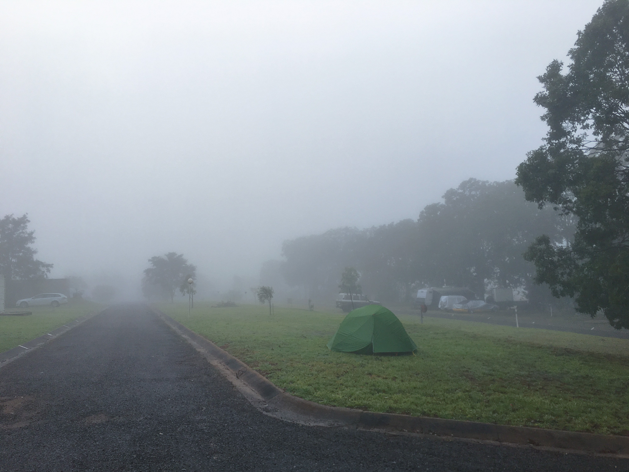
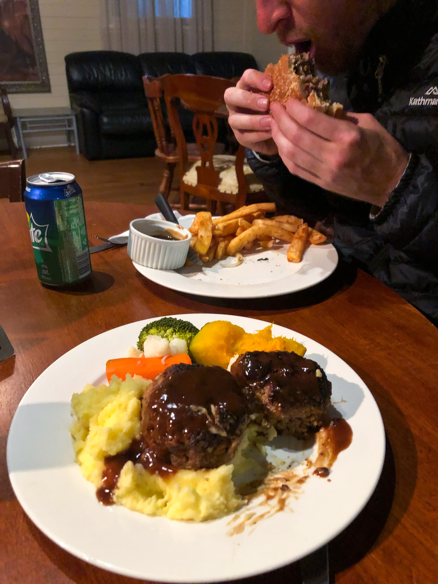
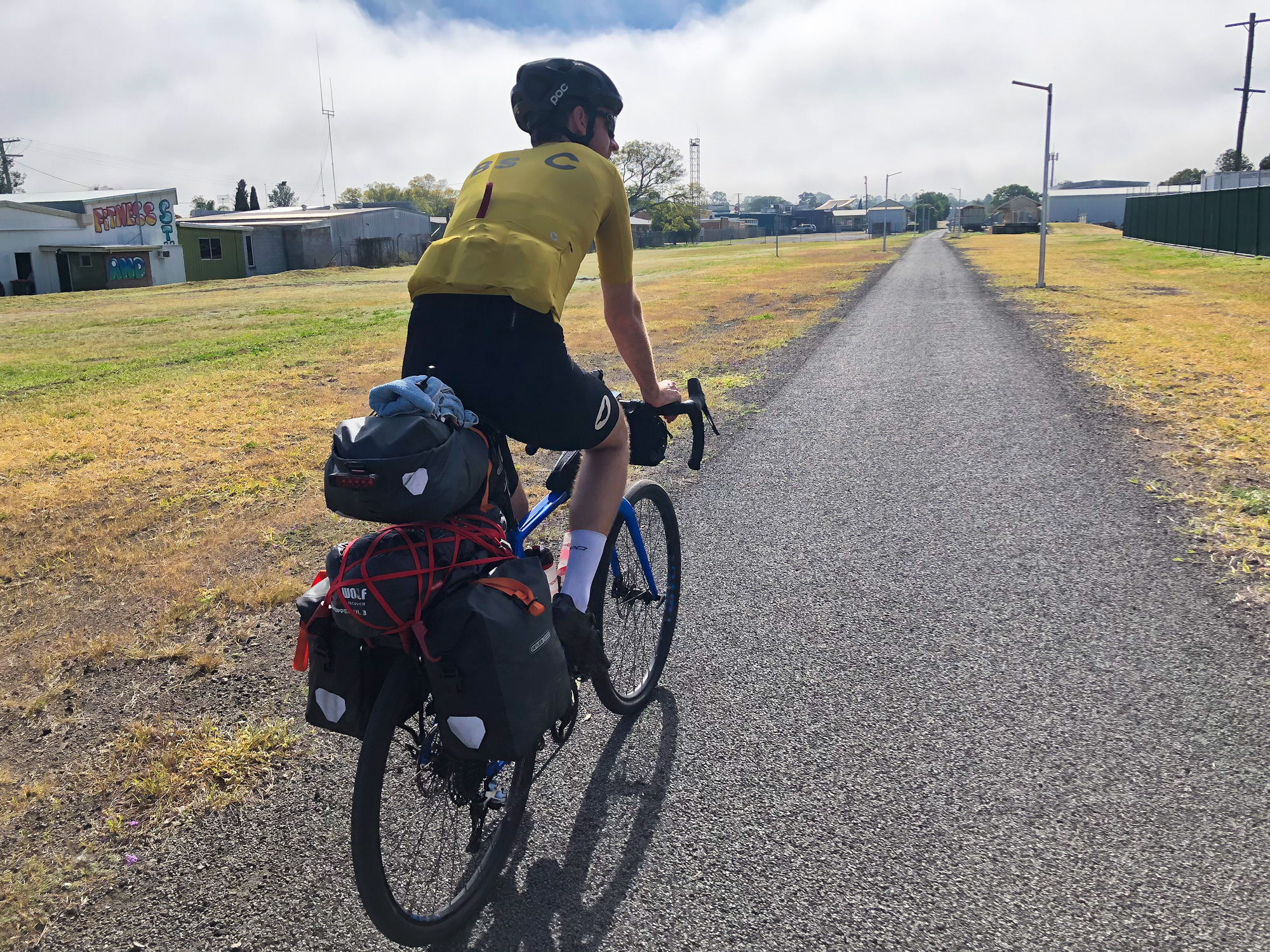
After all the sight seeing from Ipswich and the multiple start photos at Wulkuraka railway station and where the Brisbane Valley Railway Line spurred off the Western Line it was time to start the epic adventure. Day 01 we had planned to ride the 68km to our first night stop at Esk. With the scenic detour from Ipswich that ended up being a nice even 80km. Recent rains had made some sections quite green and lush while other areas were still quite dusty and dry. By the time we arrived at Fernvale for lunch we were already running quite a bit behind schedule which wasn’t helped by a long lunch at the Fernvale Bakery and 3D Tinder at the local pub.
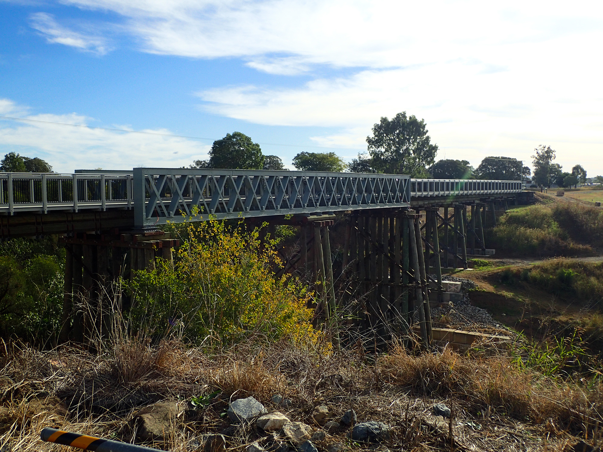
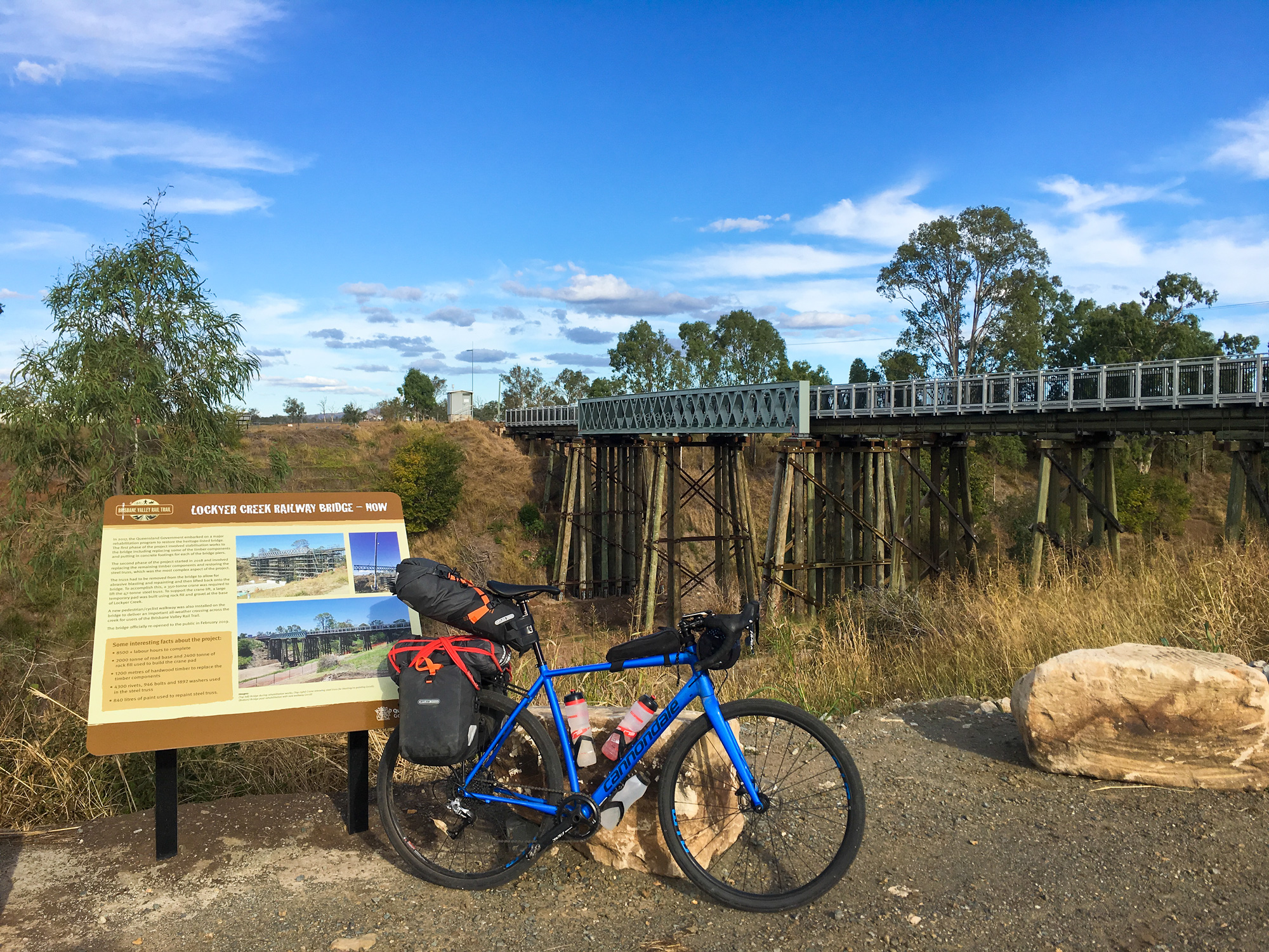
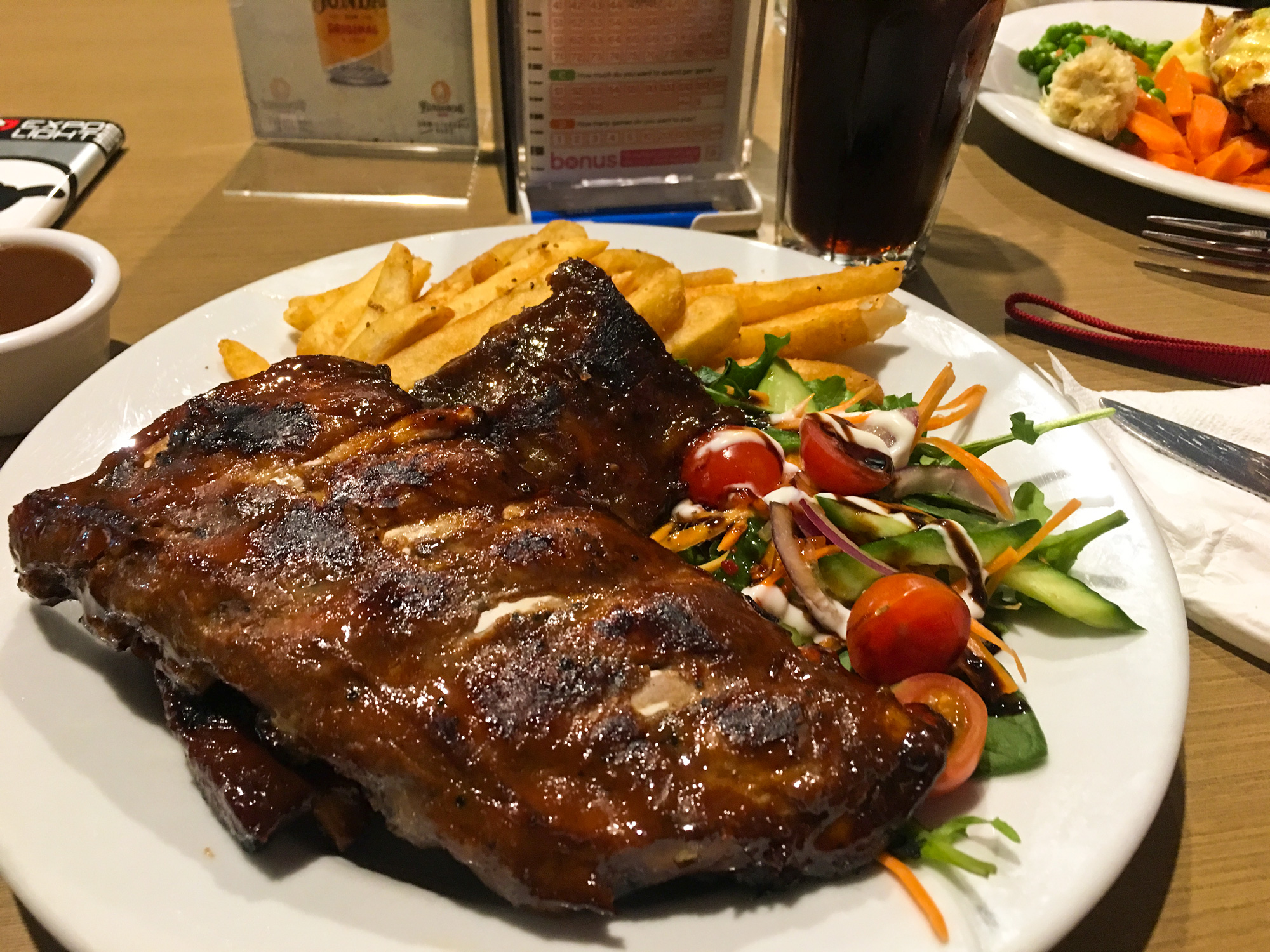
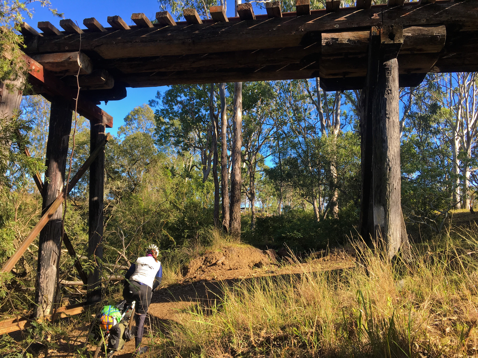
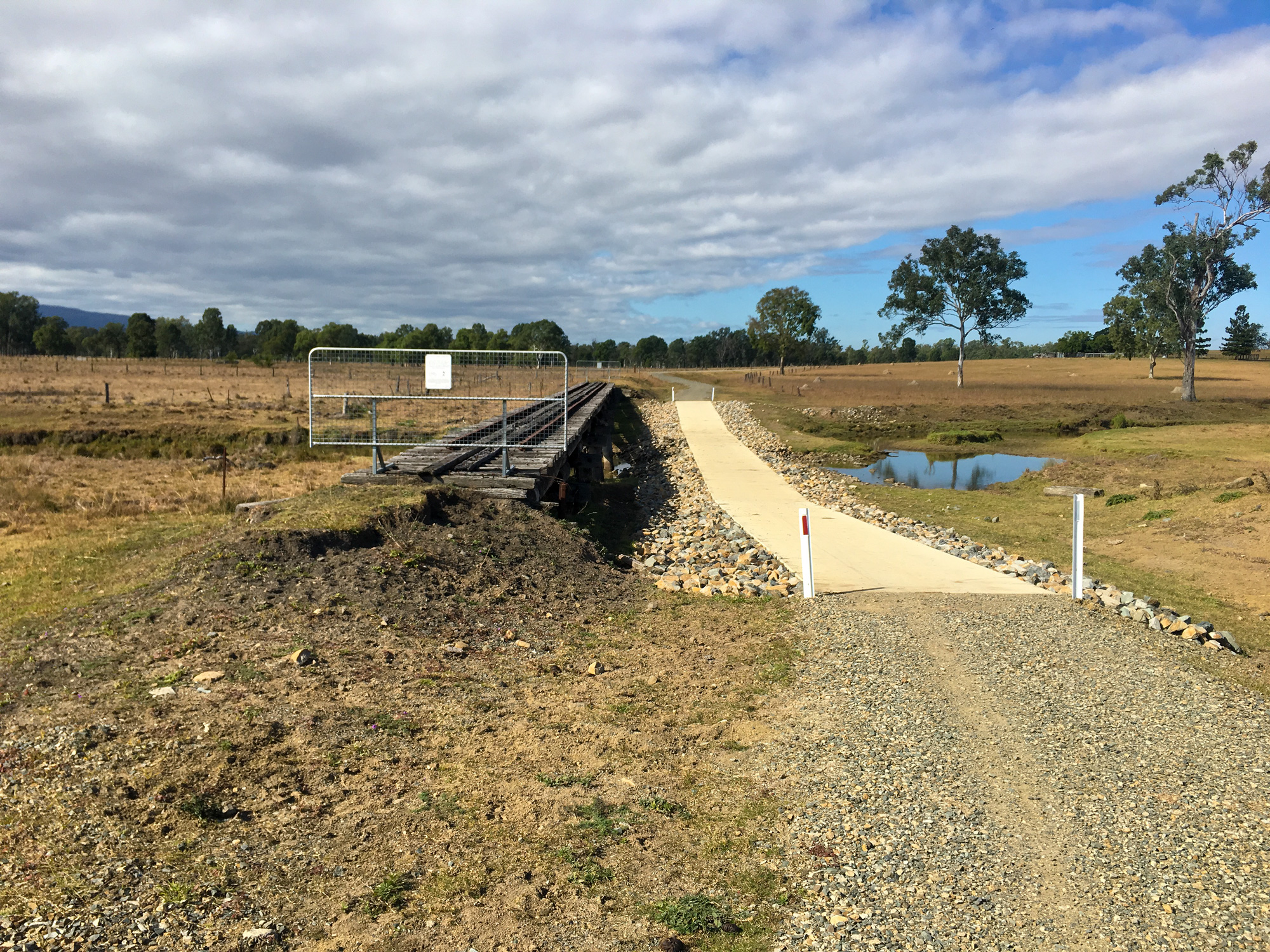
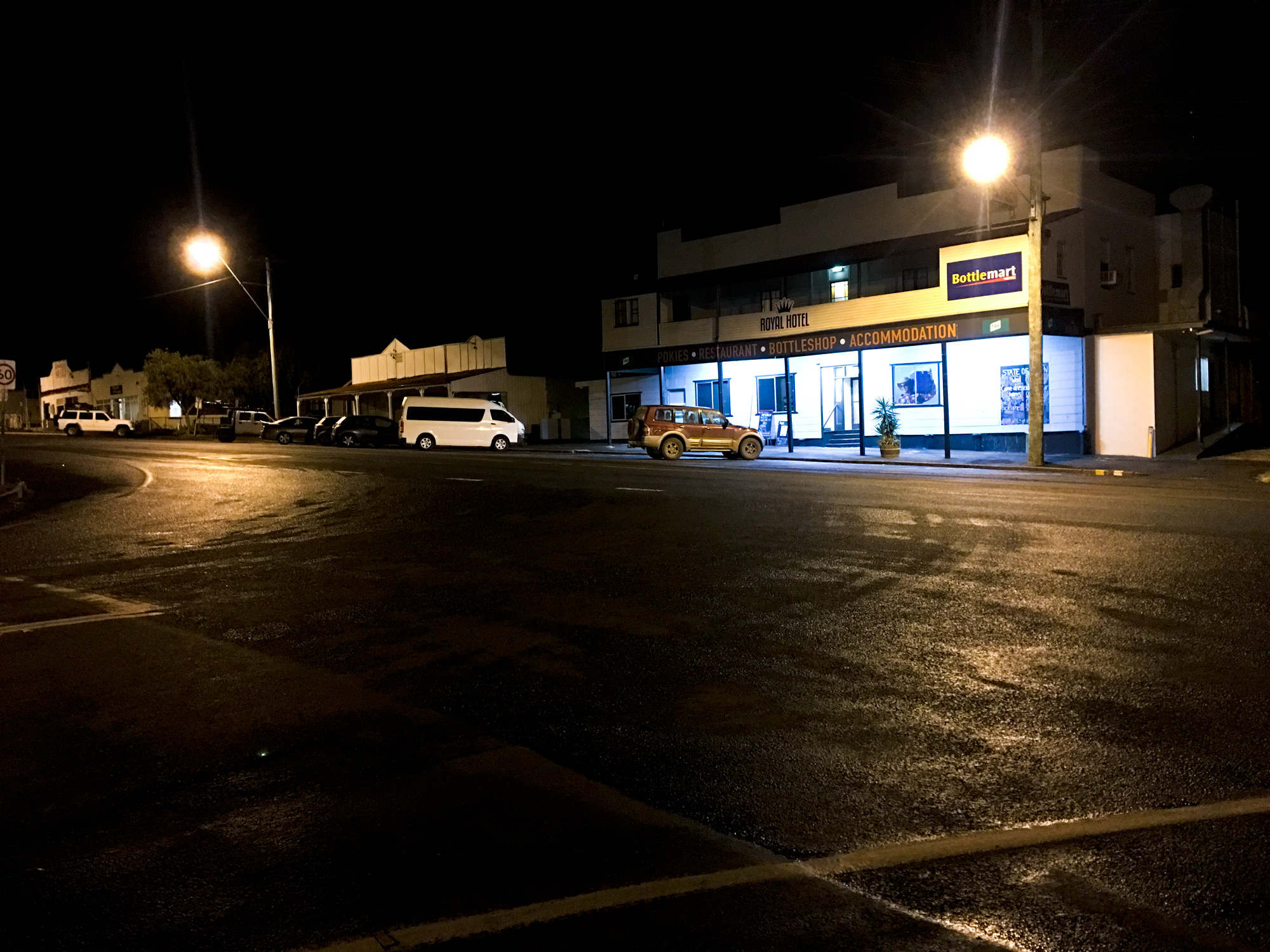
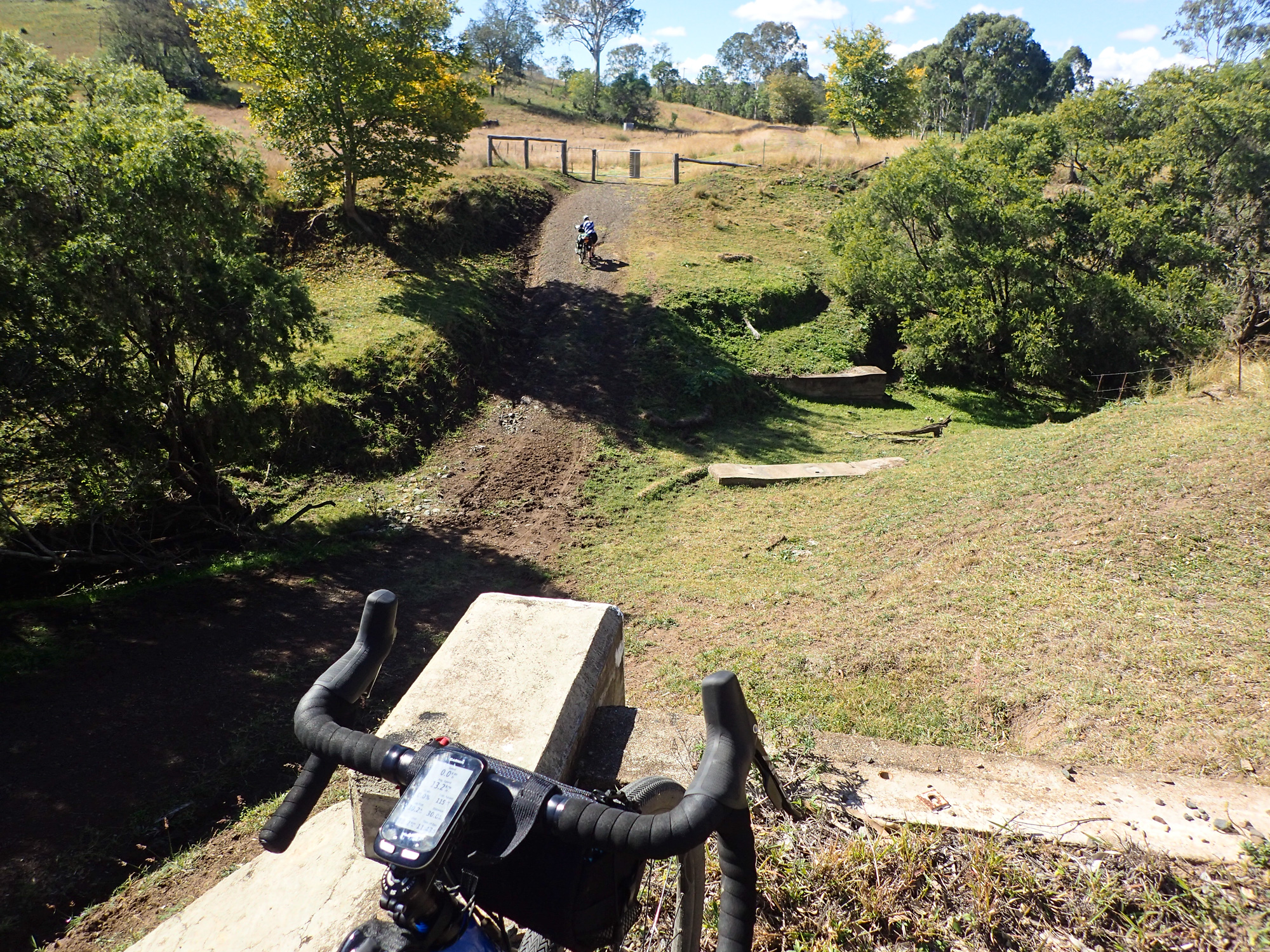
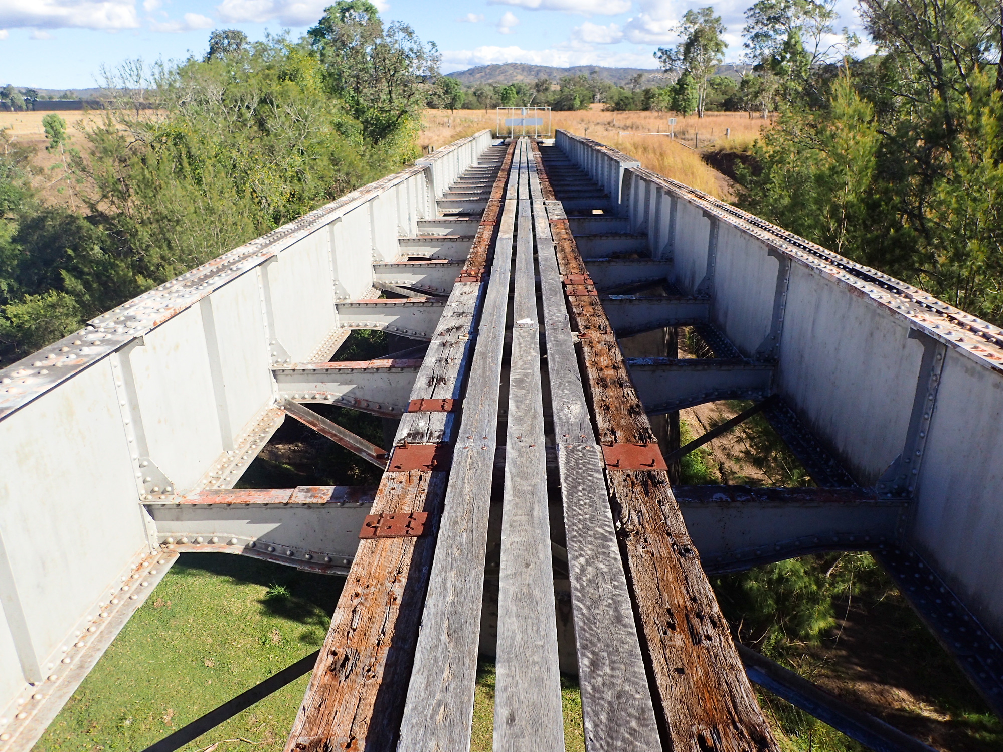
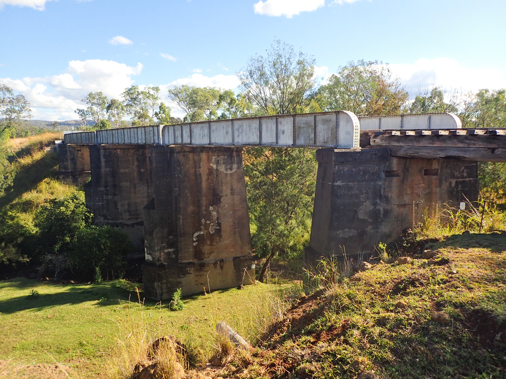
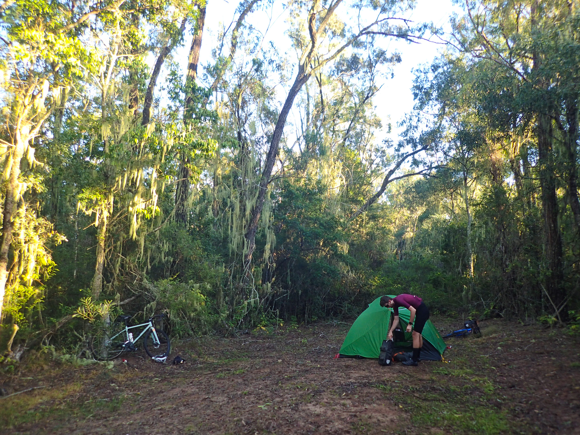
After we departed Fernvale we passed through Lowood and later on came across the newly refurbished and opened Lockyer Creek Railway Bridge. Despite the bridge being constructed in 1885 and the line now part of the rail trail prior to its refurbishment in 2018-2019 it was closed off to pedestrian access. Previously to cross the Lockyer Creek one would have to zig zag their way down, cross the stepping stones (or as Luke would yell “SPEED.. SEND IT! POWER!!! SHIT WRONG GEAR”) and zig zag up the other side to rejoin and continue along the rail trail. Coming into Cominya which is the start of the long climb up to Mount Hallen the winter sun was already getting quite low in the sky (even less light was available as we rode through the bushland) and by the time we got to the top of Mount Hallen it was starting set on us so the race was on to get to Esk before night fall. As we descended into Esk dusk had well and truly started. It was a good thing that we weren’t camping the first night as we were avoiding having to set up the tent after such a short ride. As we had a motel room we had a shower (which had a footrest in the shower much to the amazement of Bronwyn) and then headed off to the pub for a good feed. The good thing about country pubs is that you always get bang for buck compared to in Brisbane.
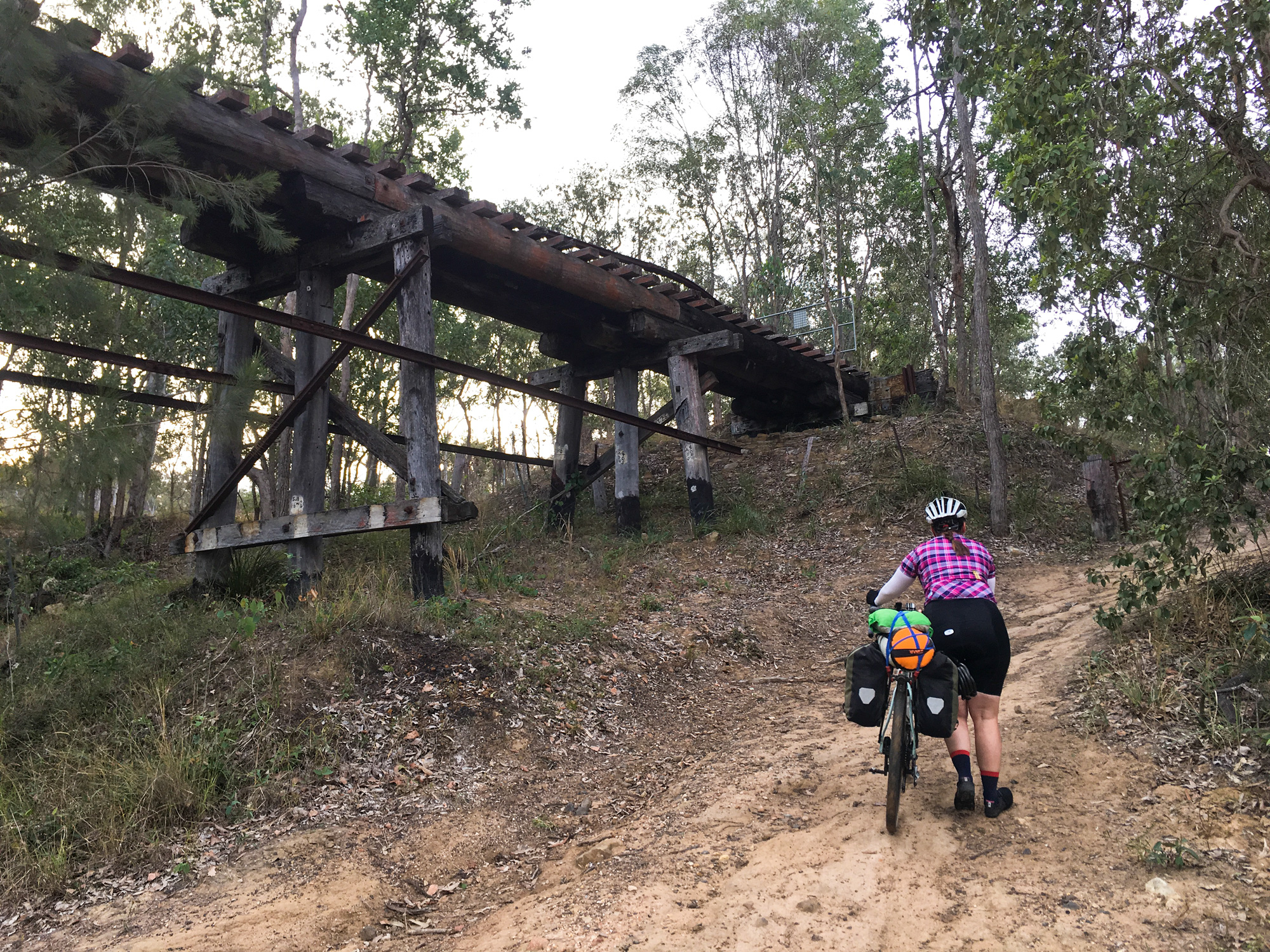
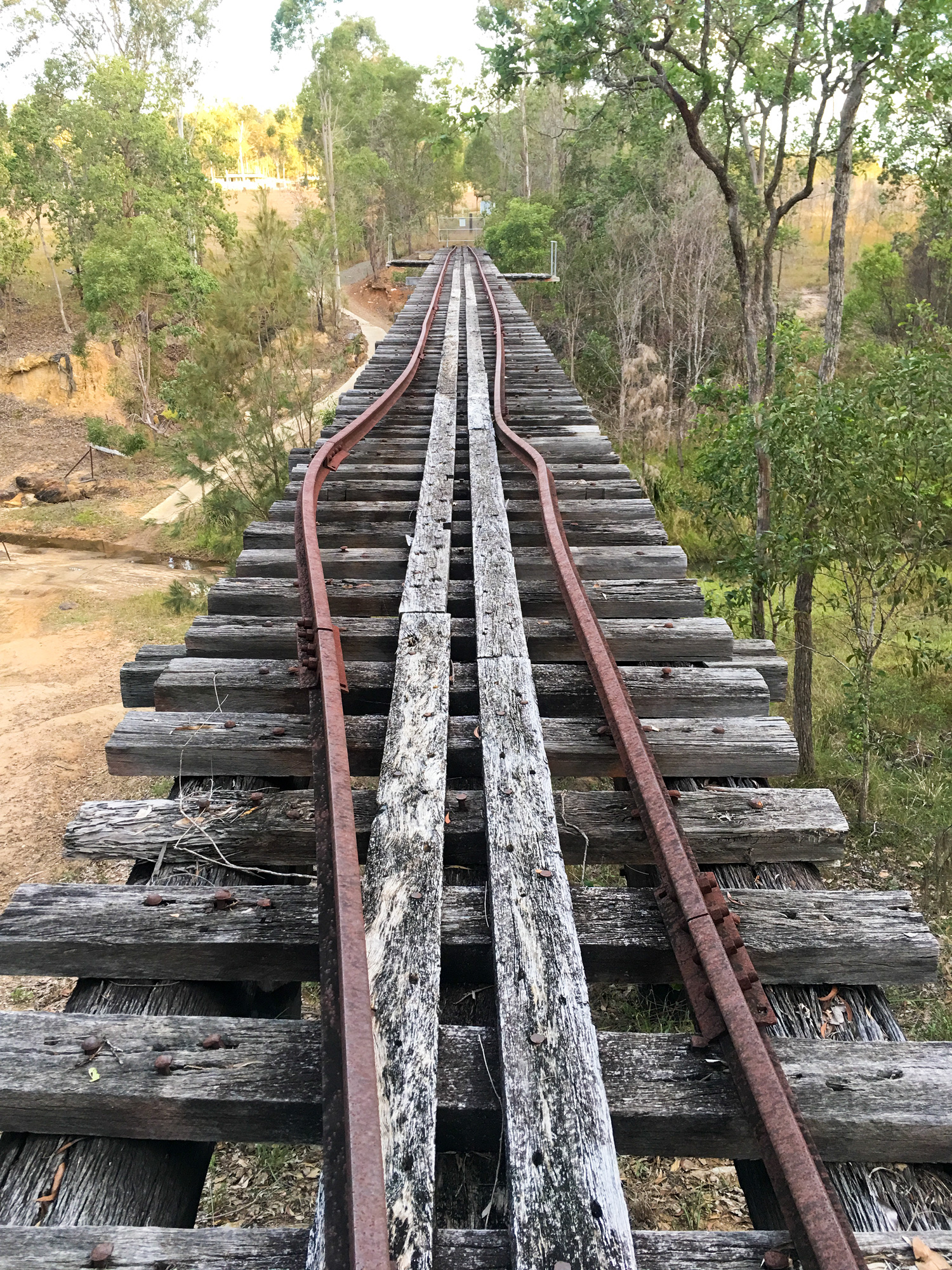
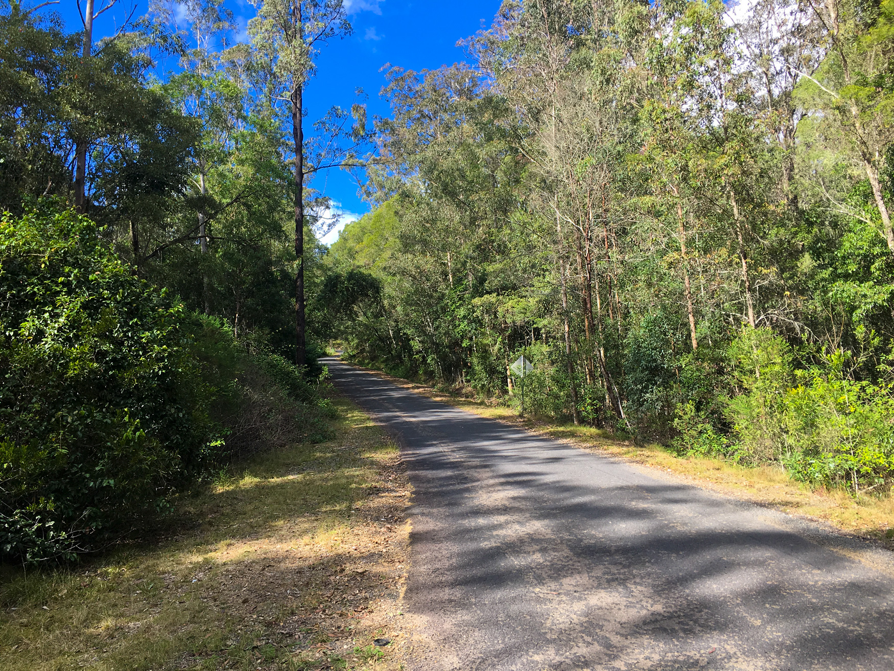
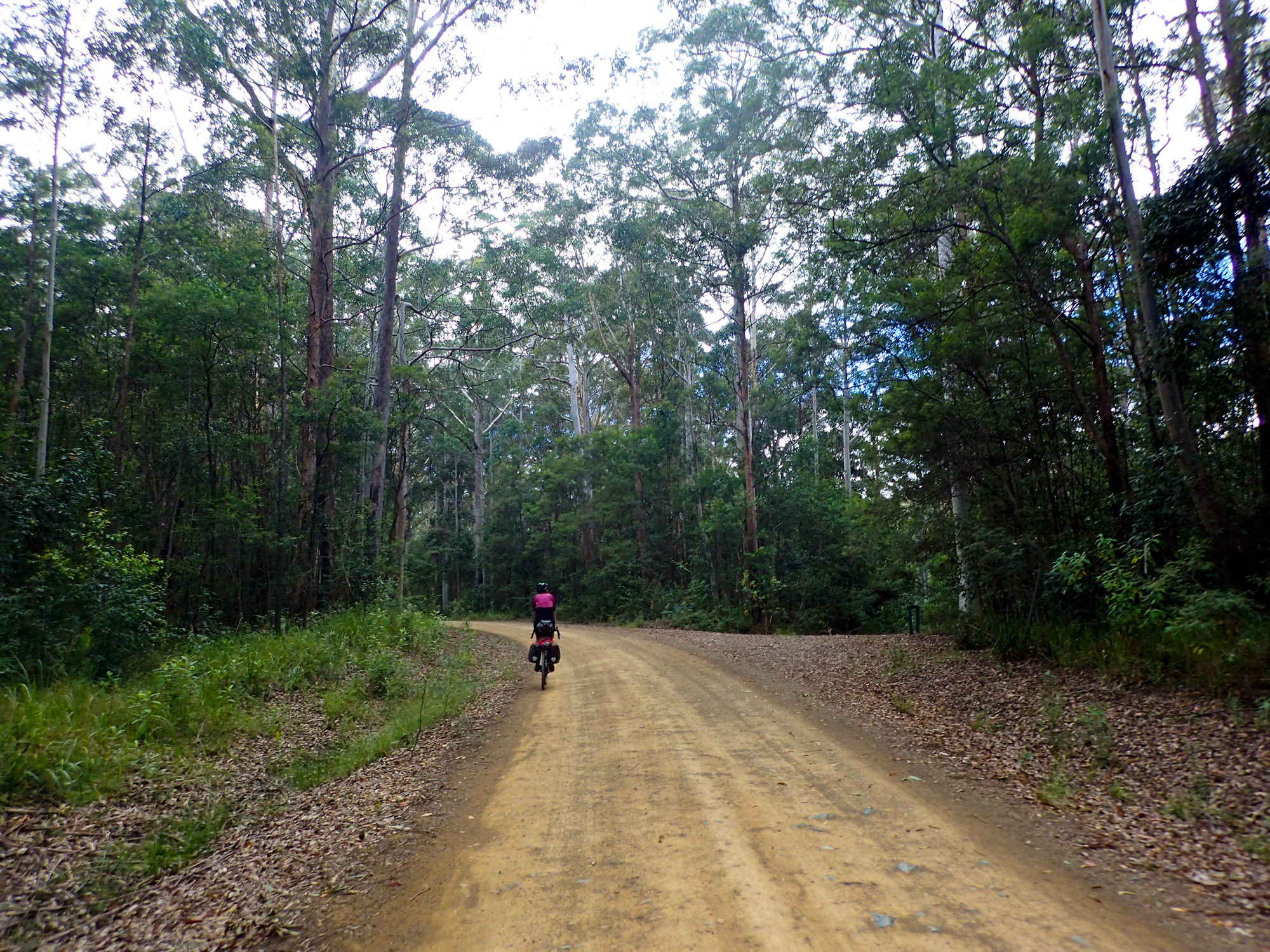
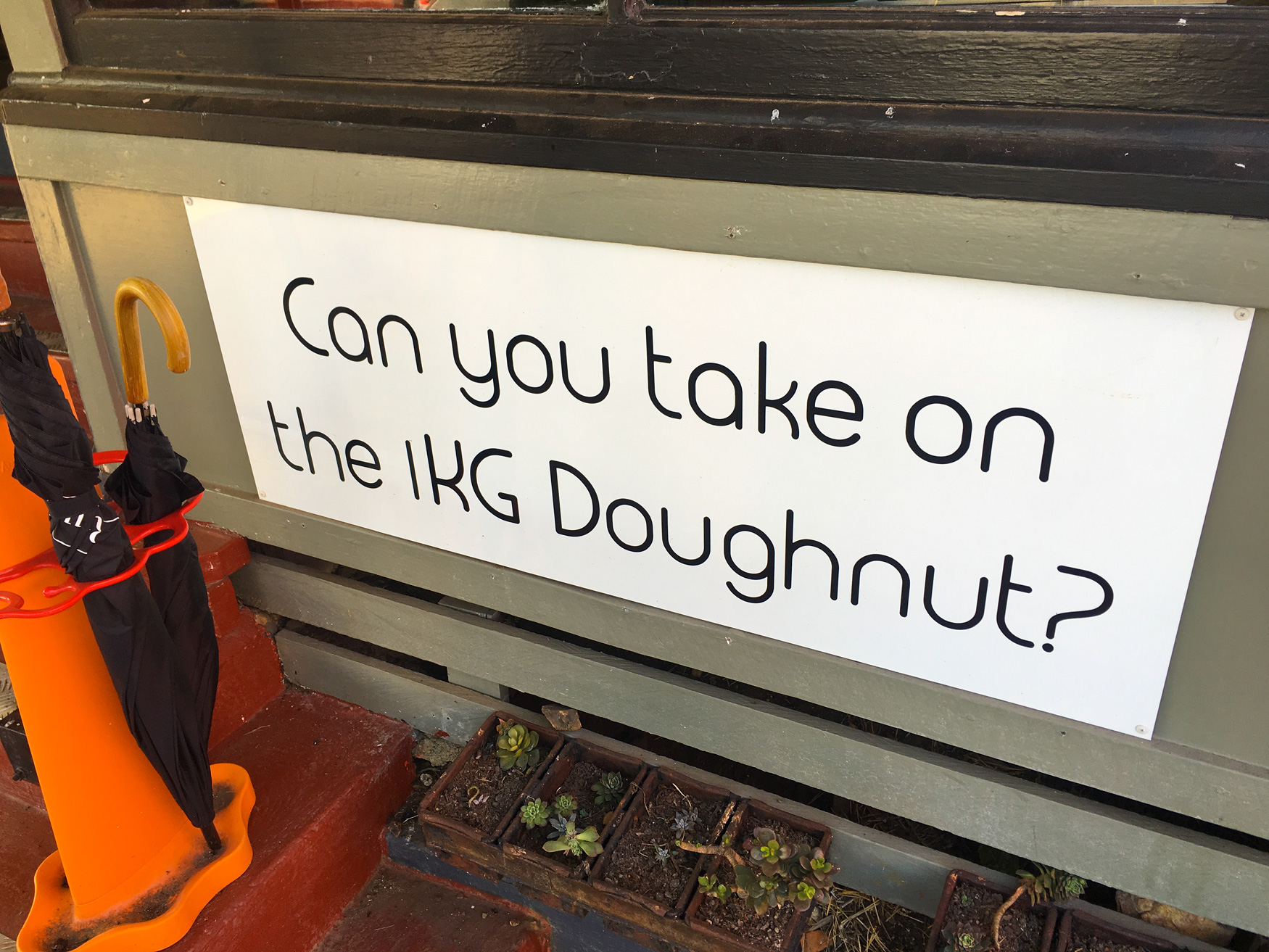
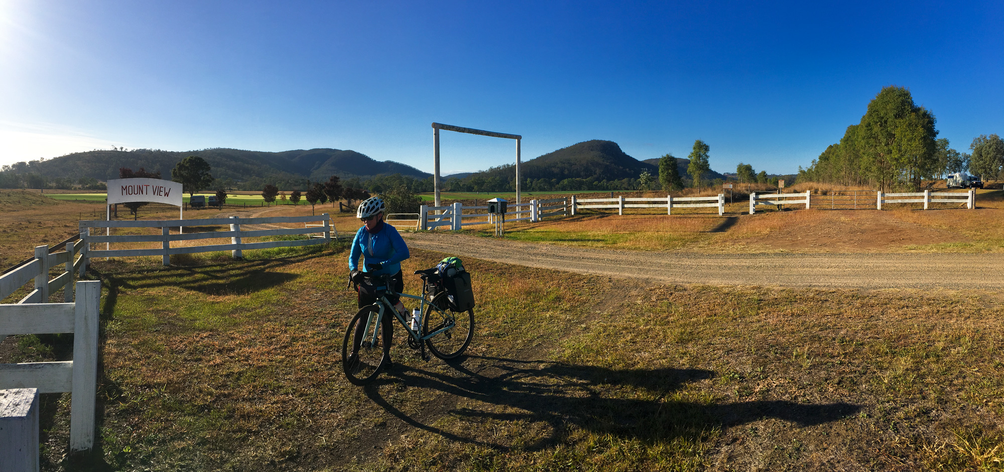
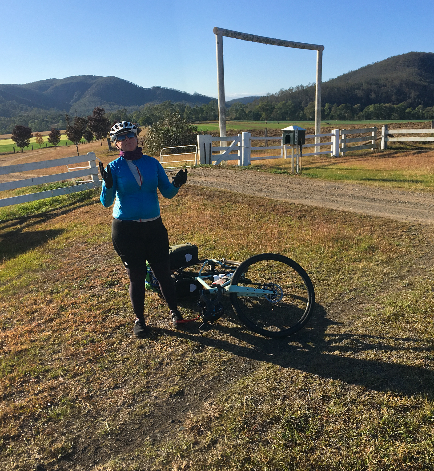
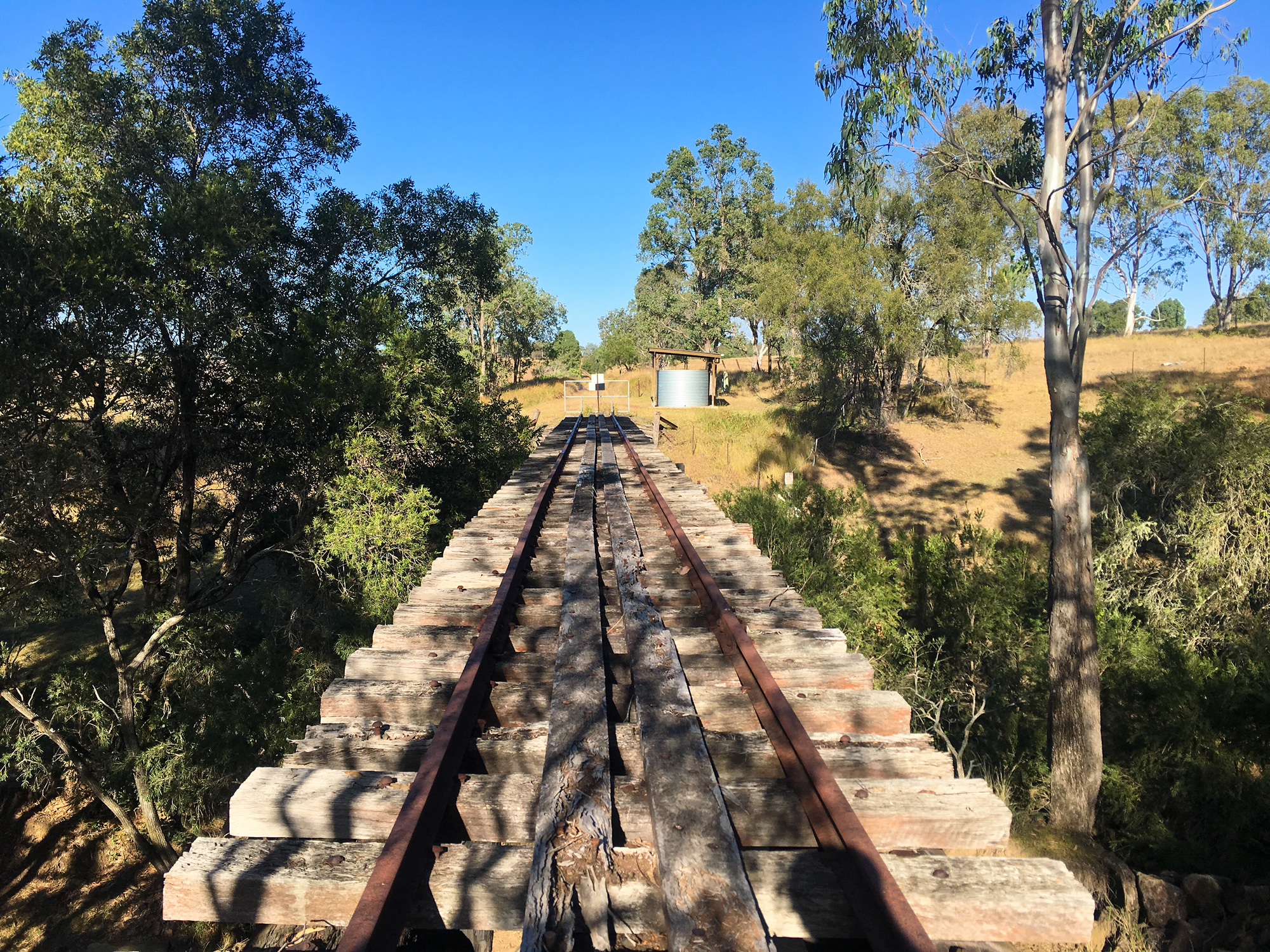
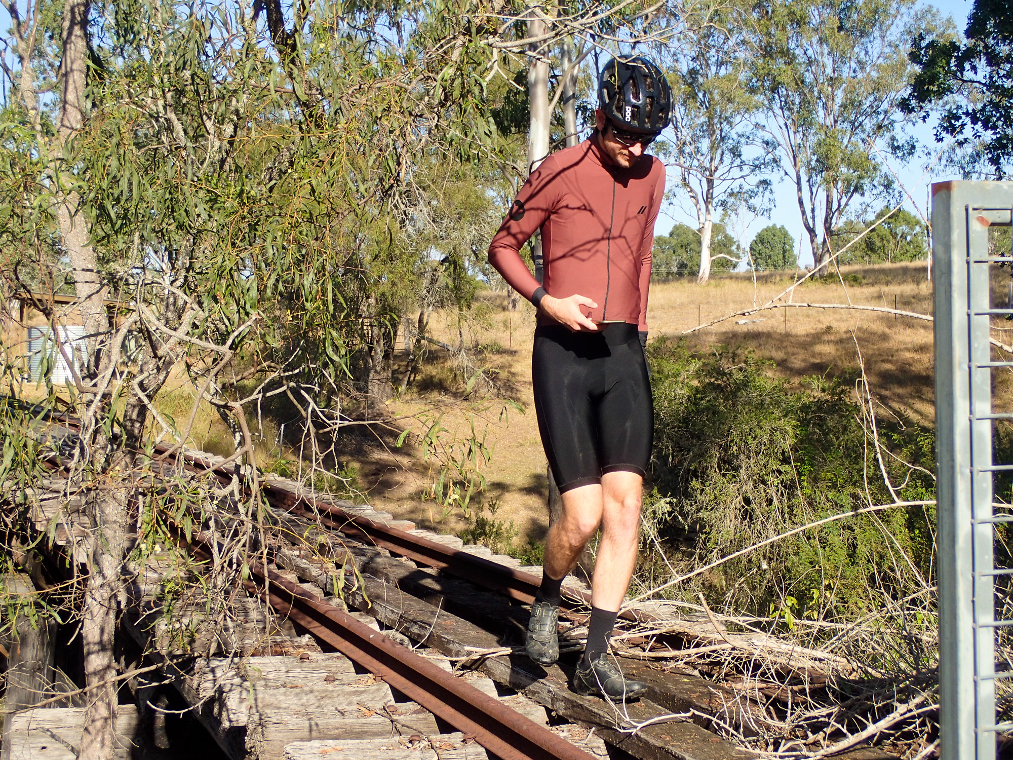
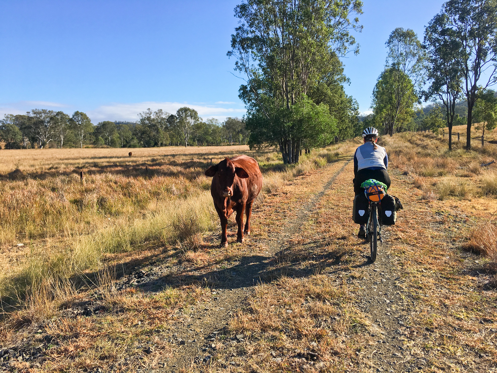
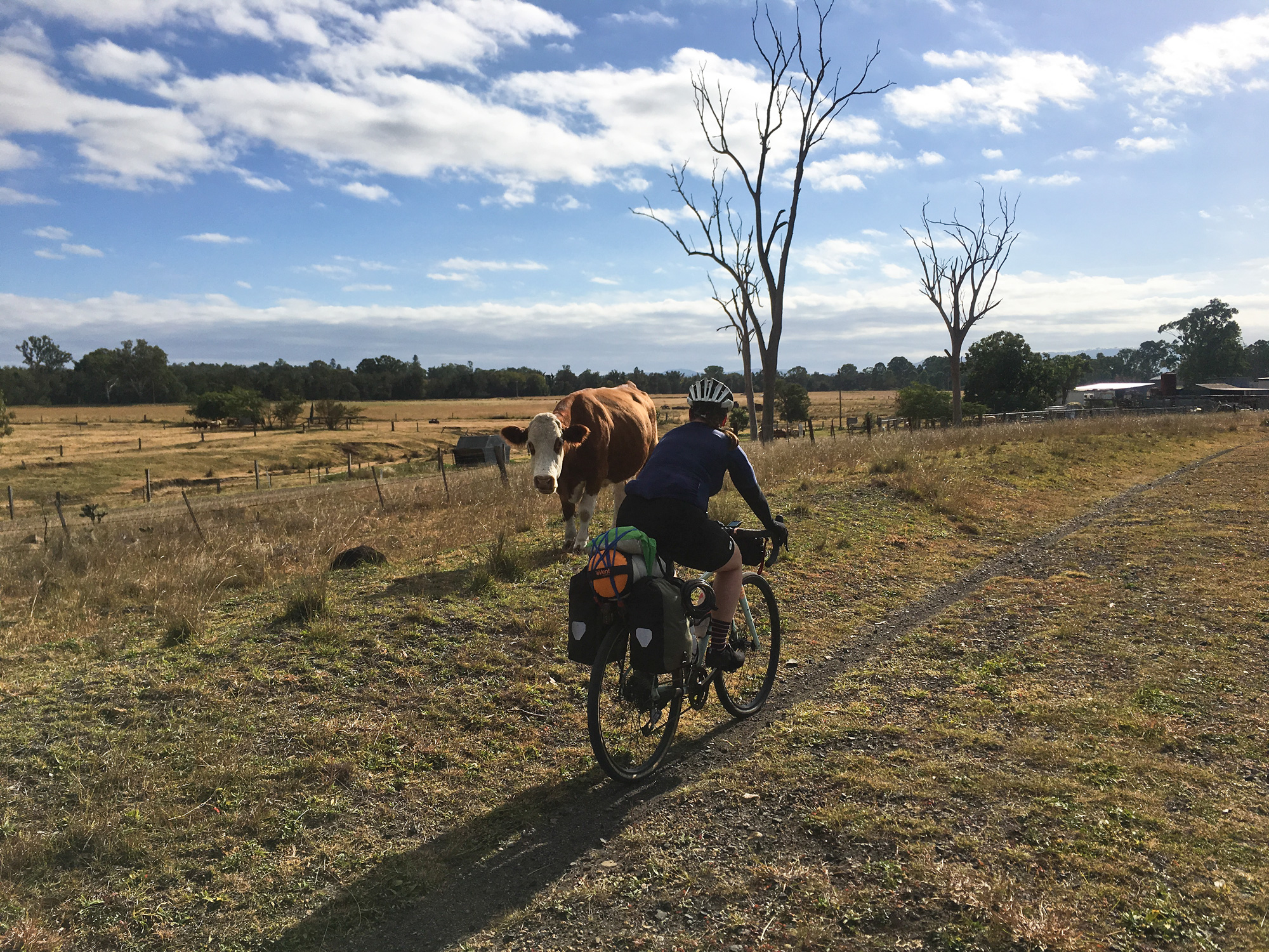
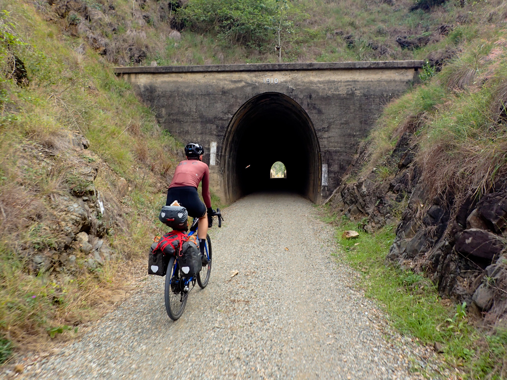
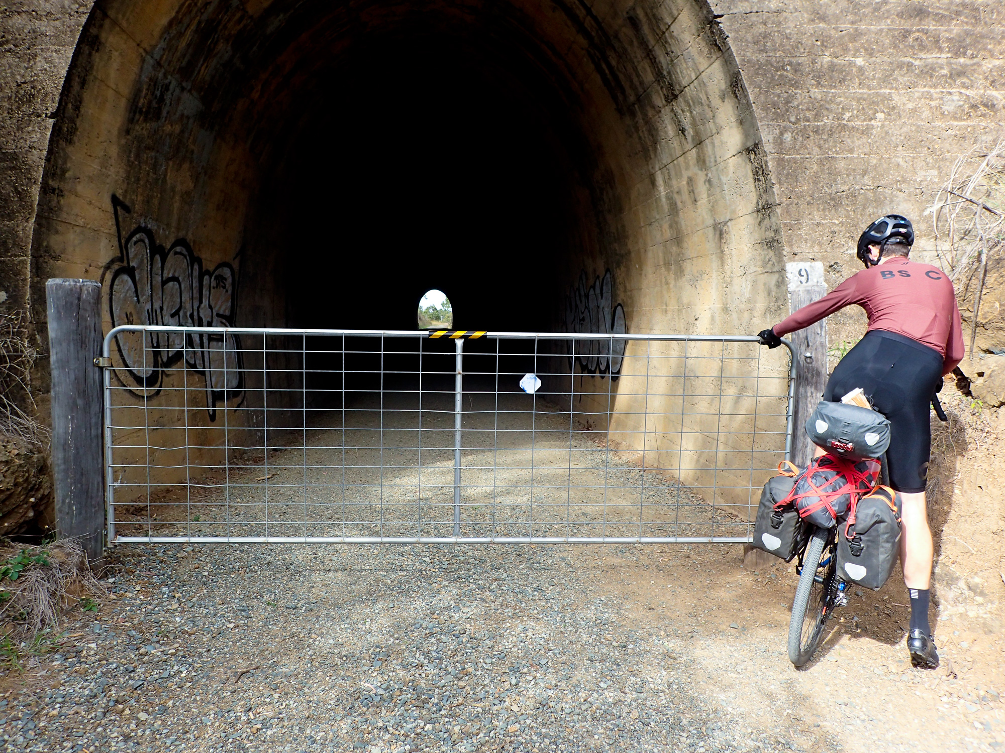
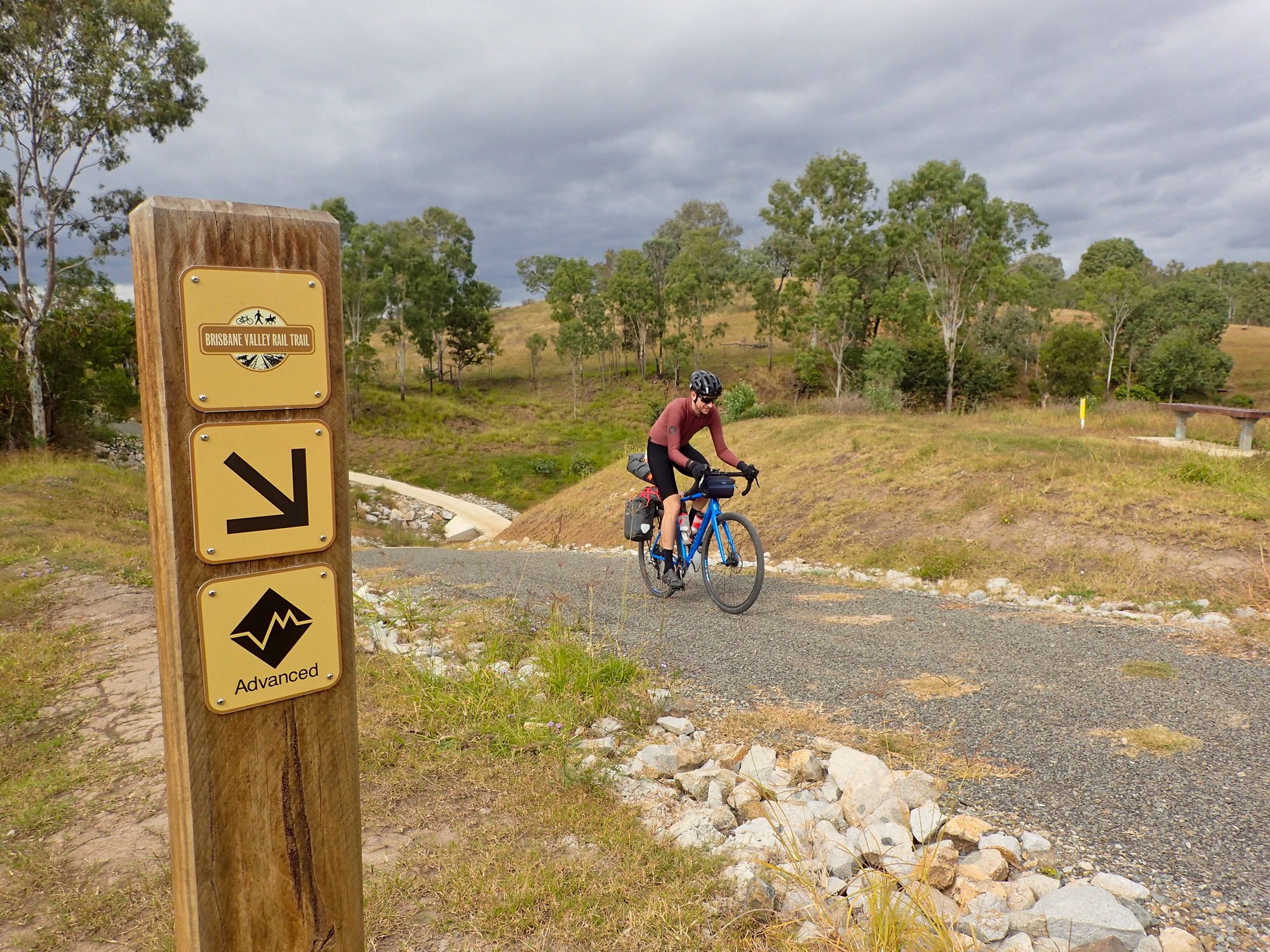
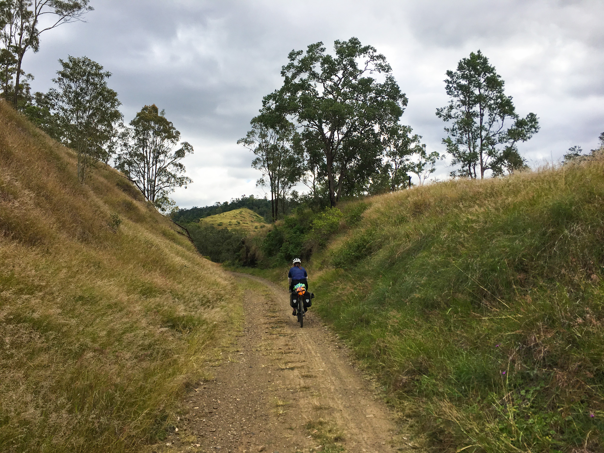
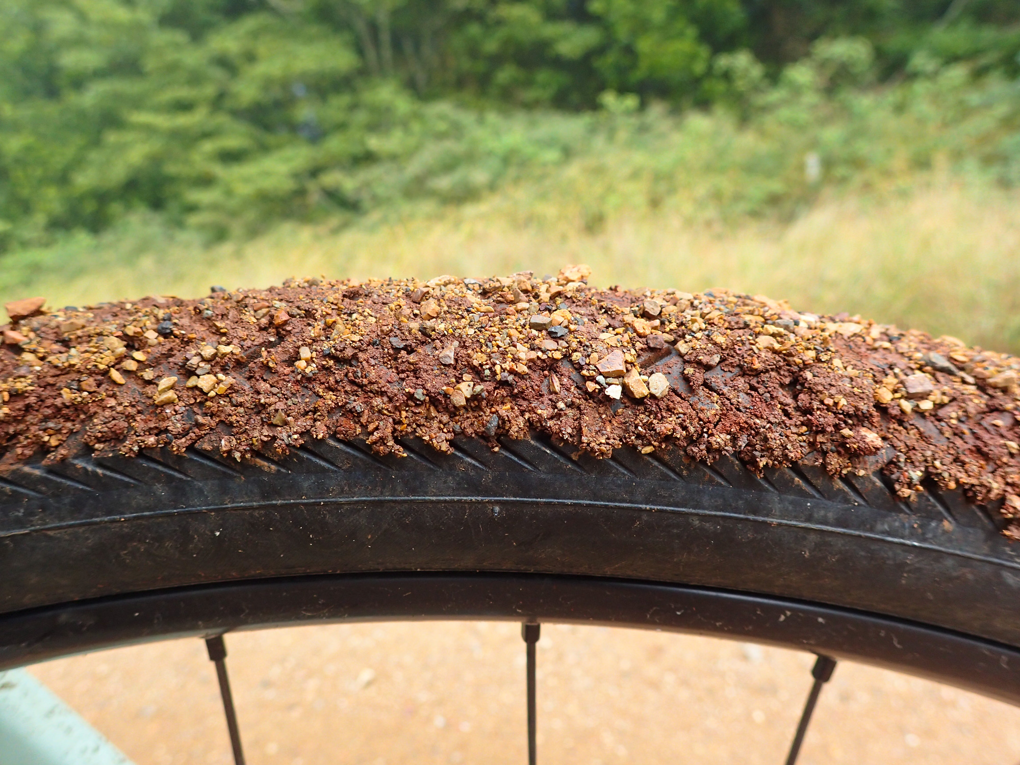
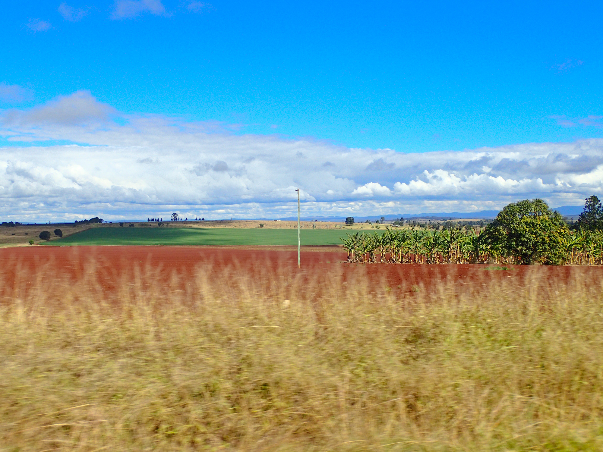
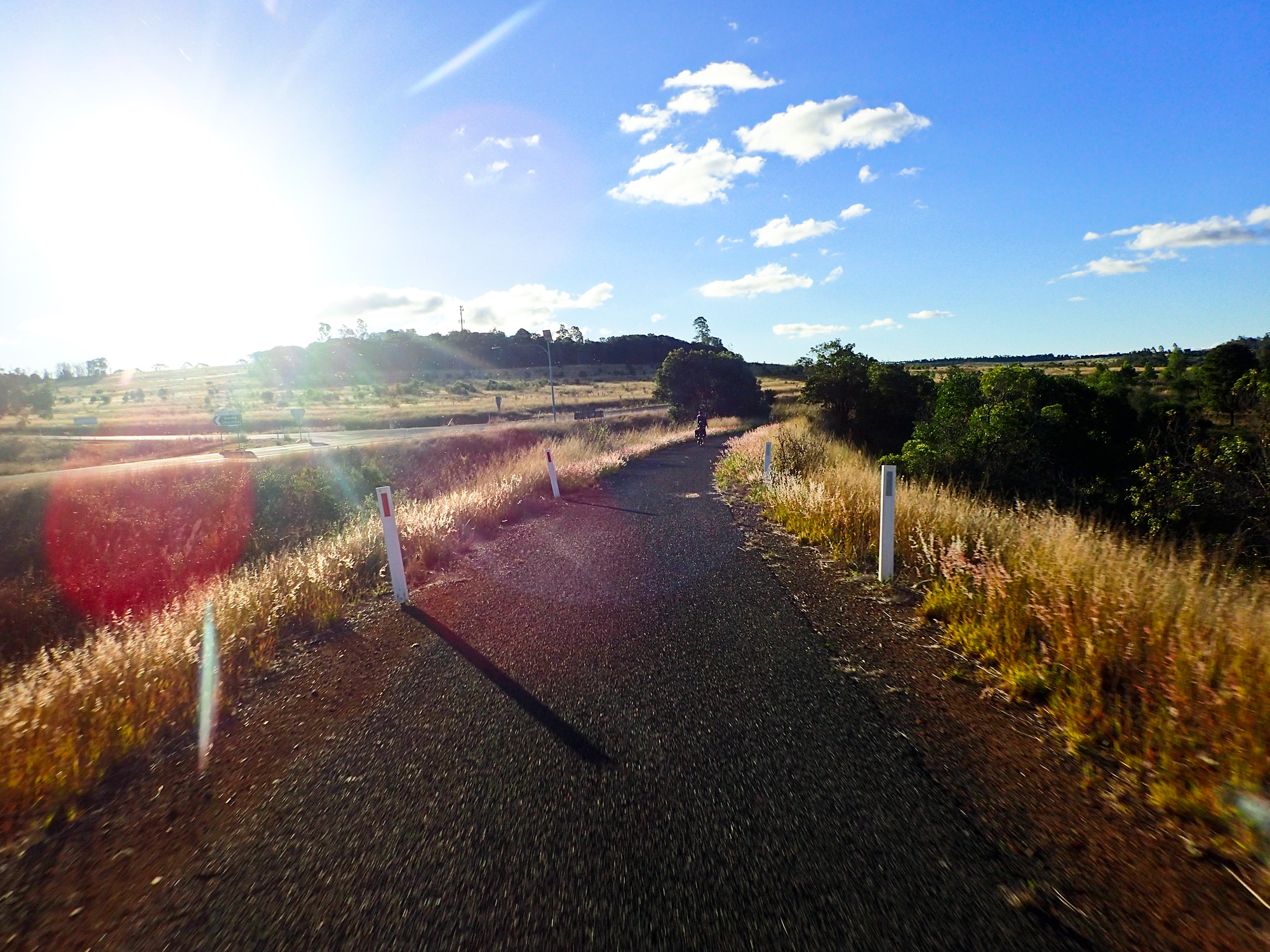
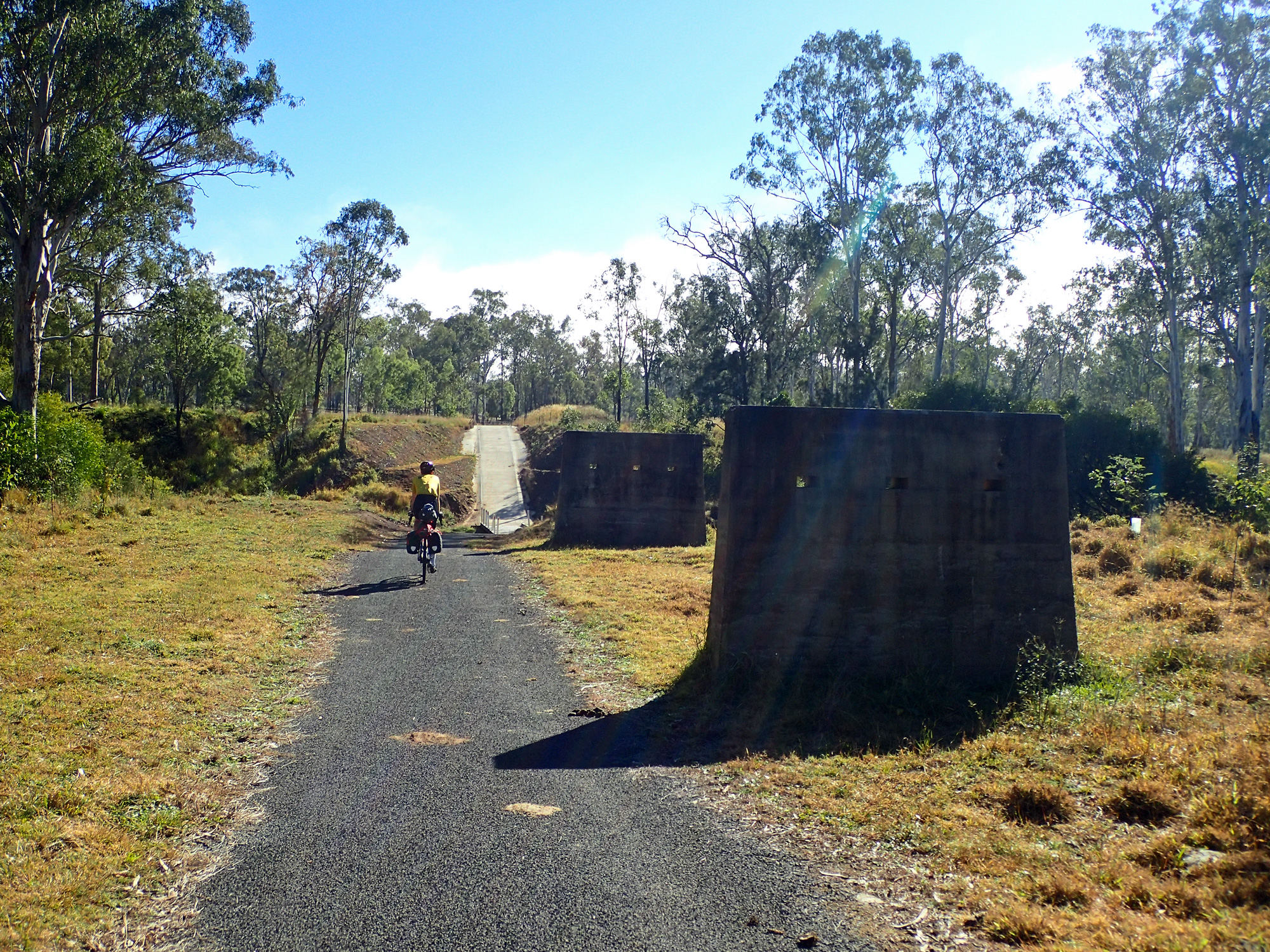
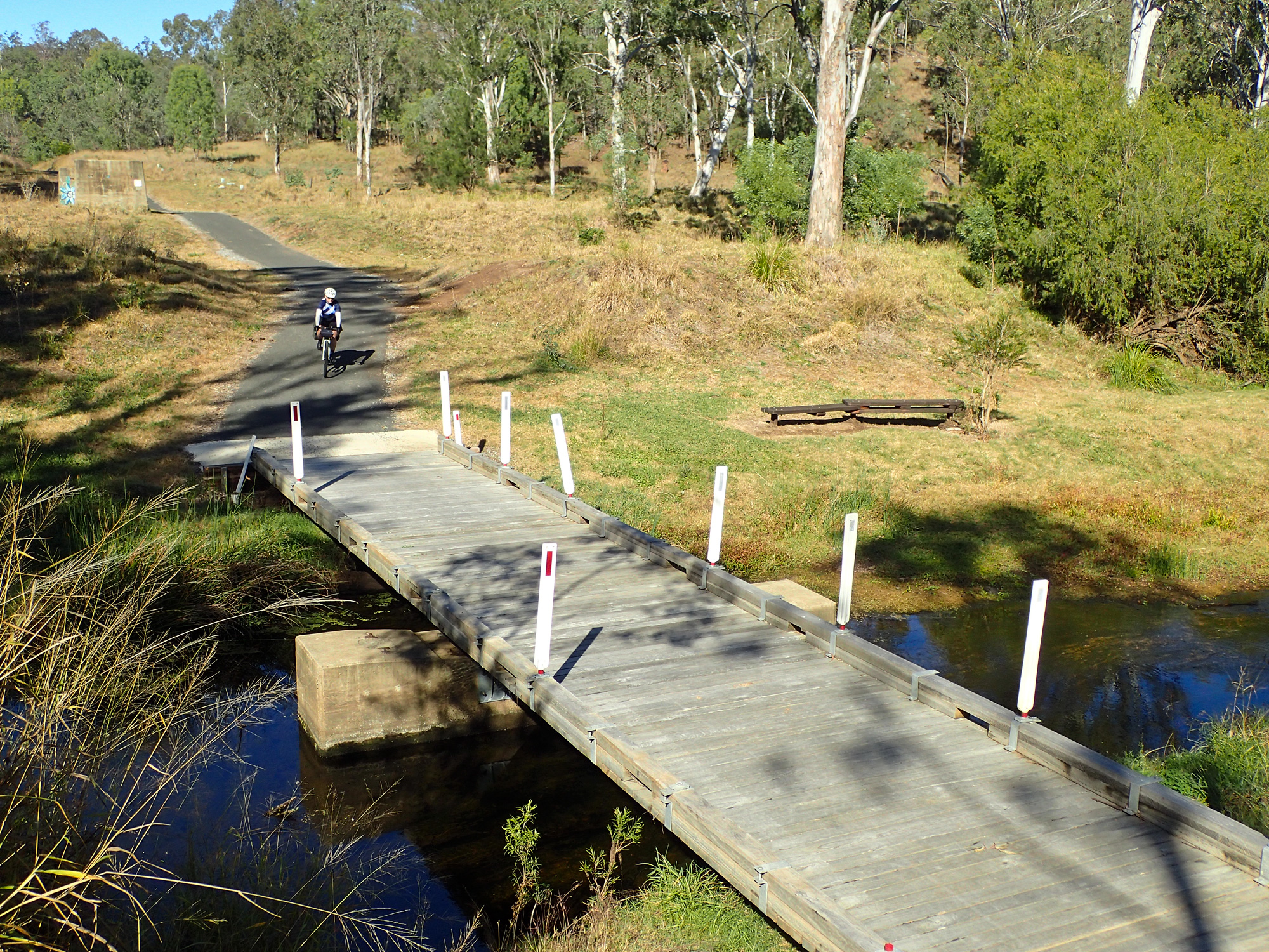
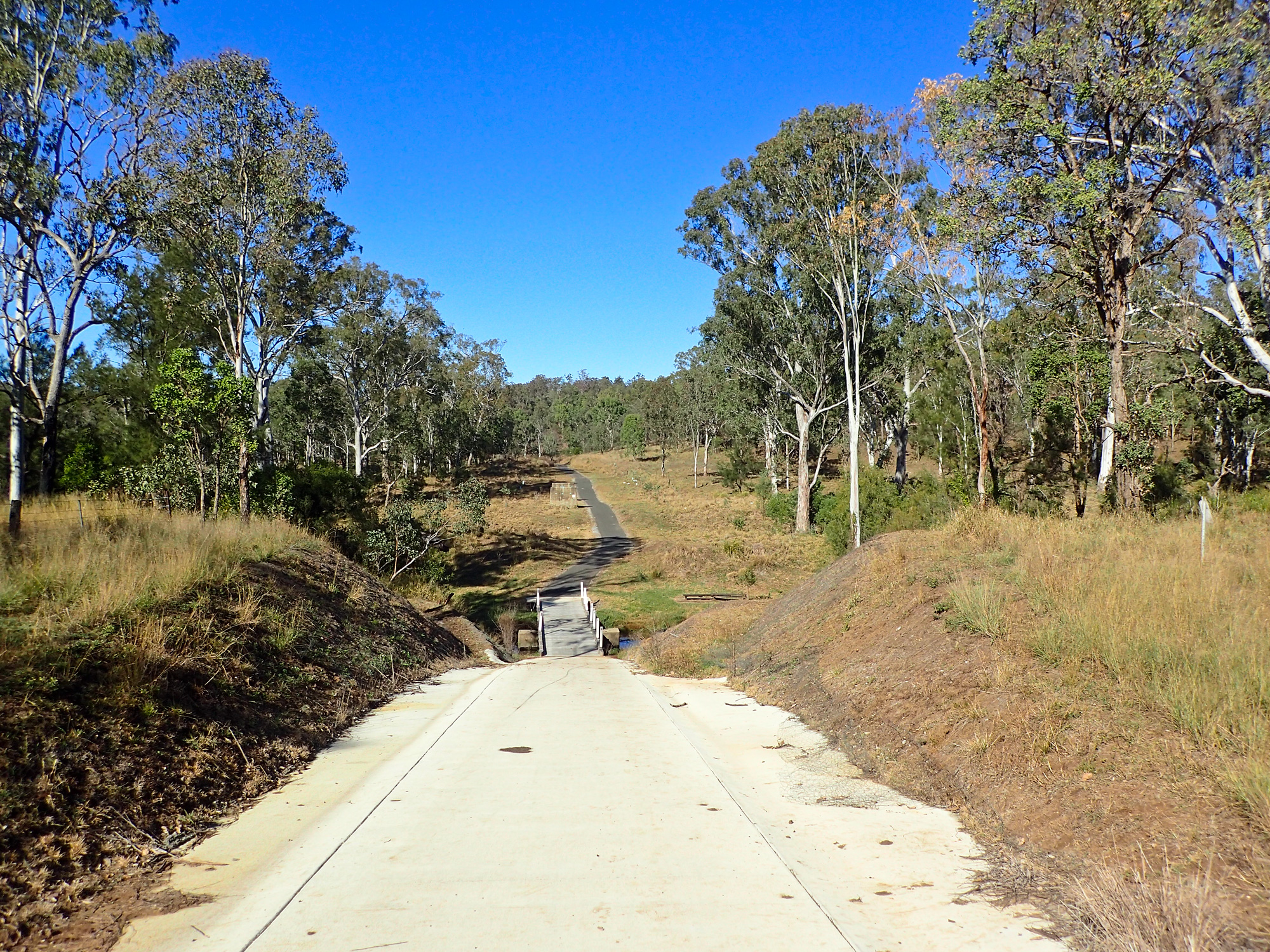
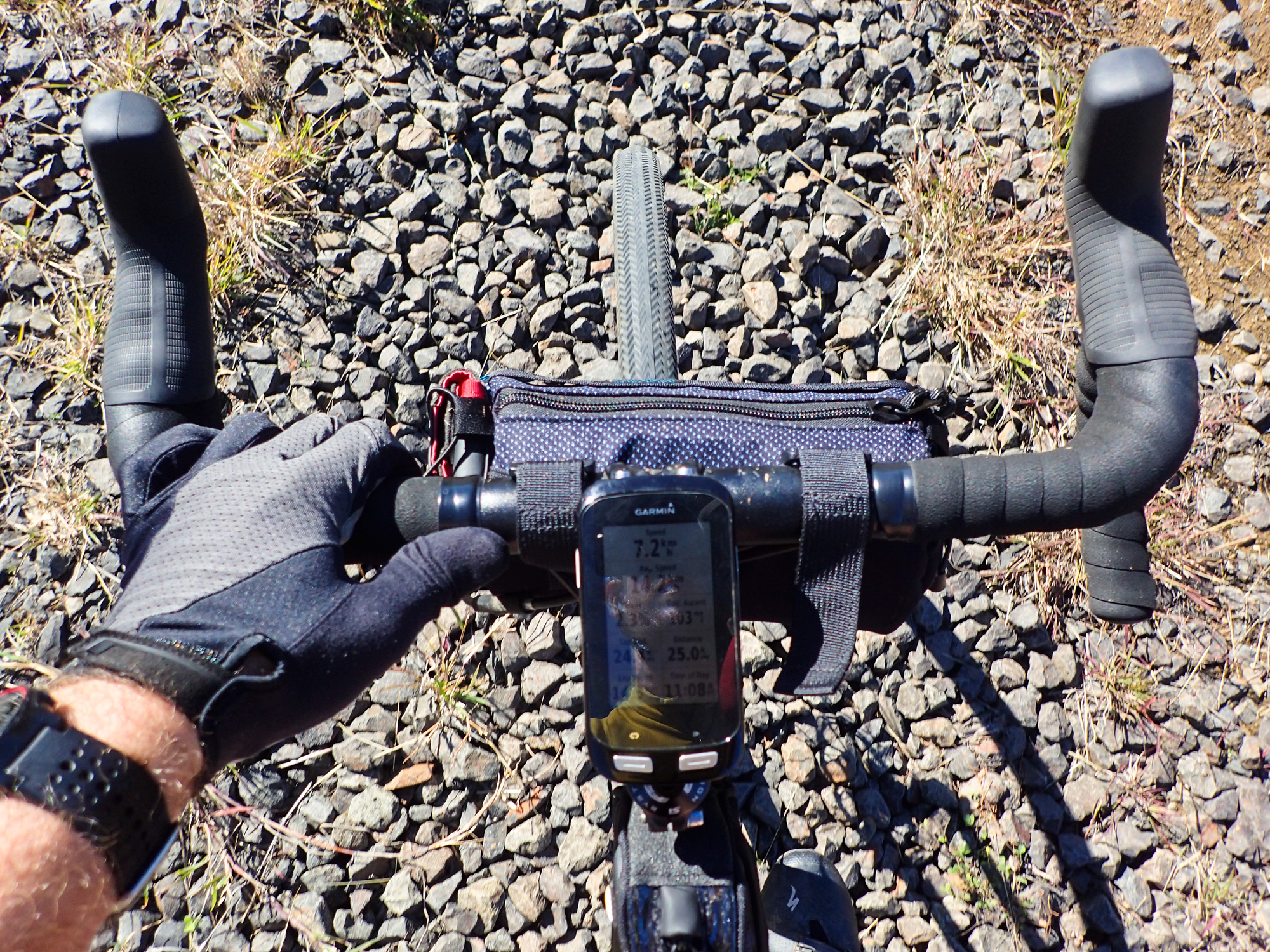
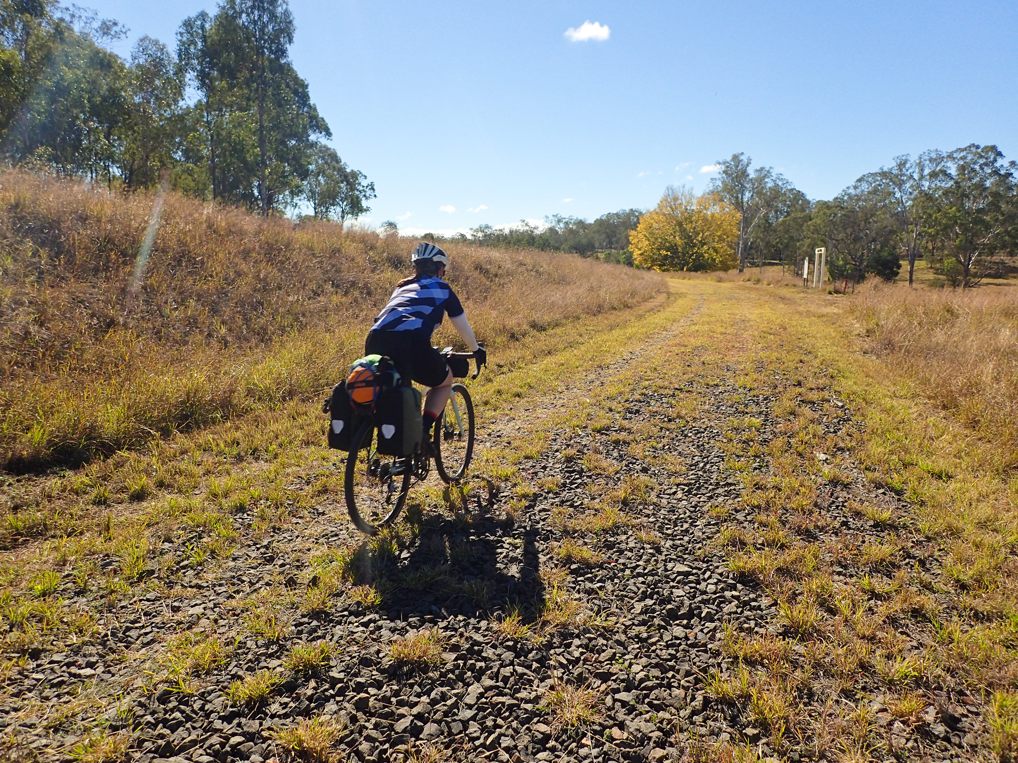
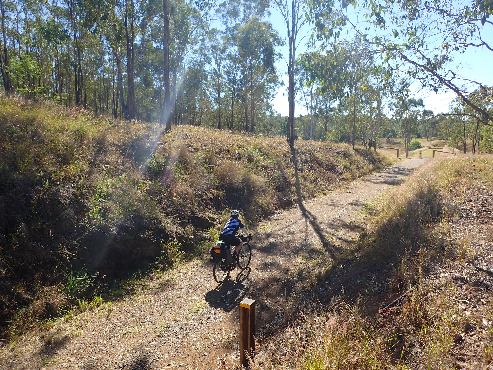
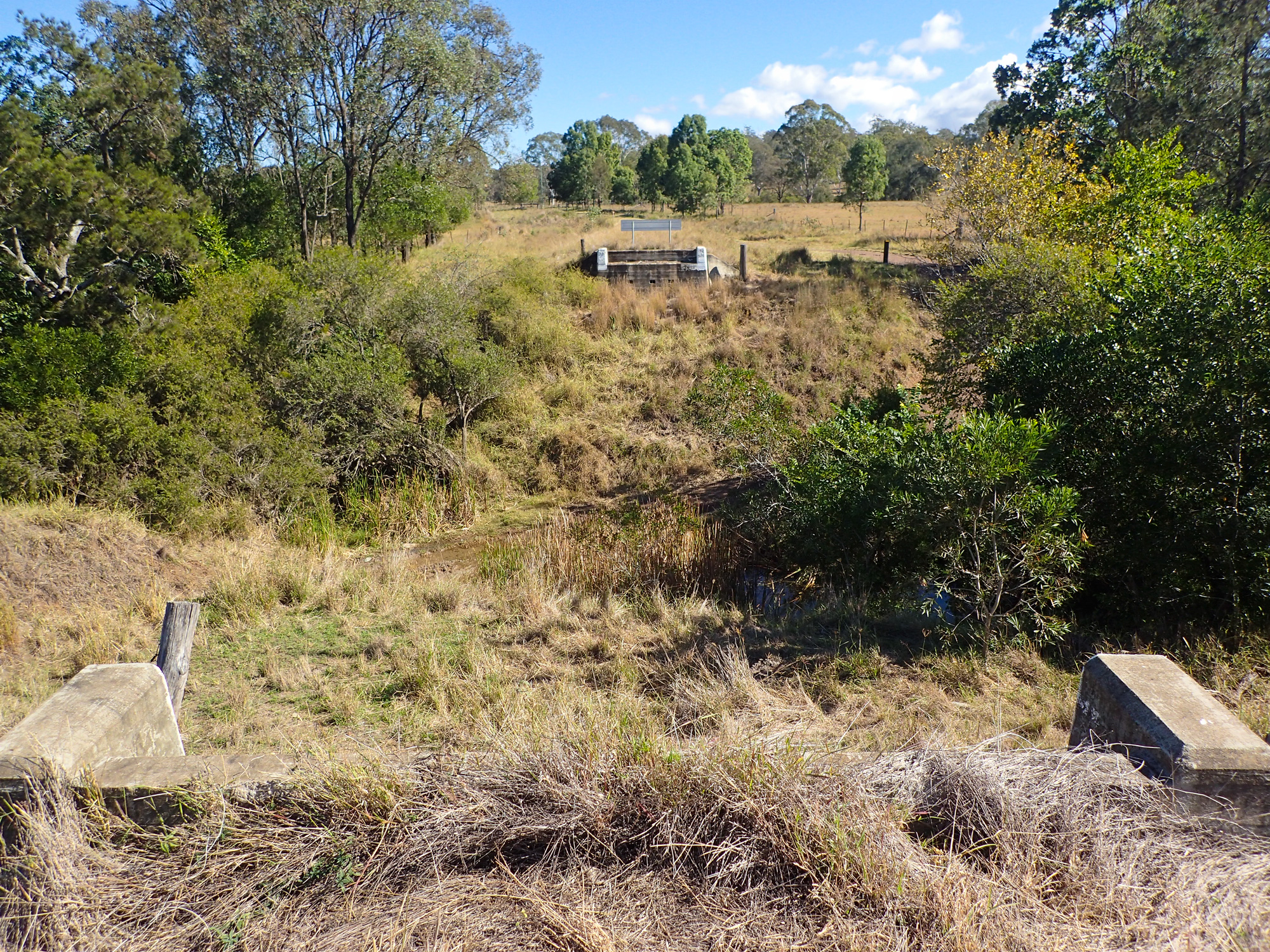
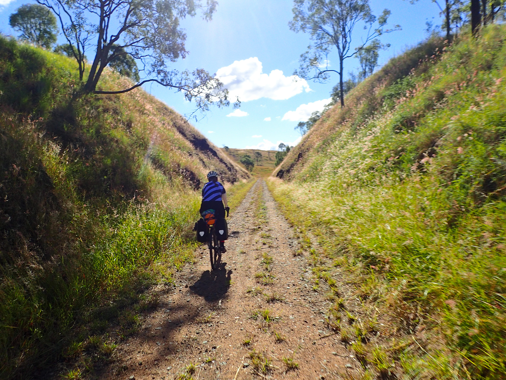
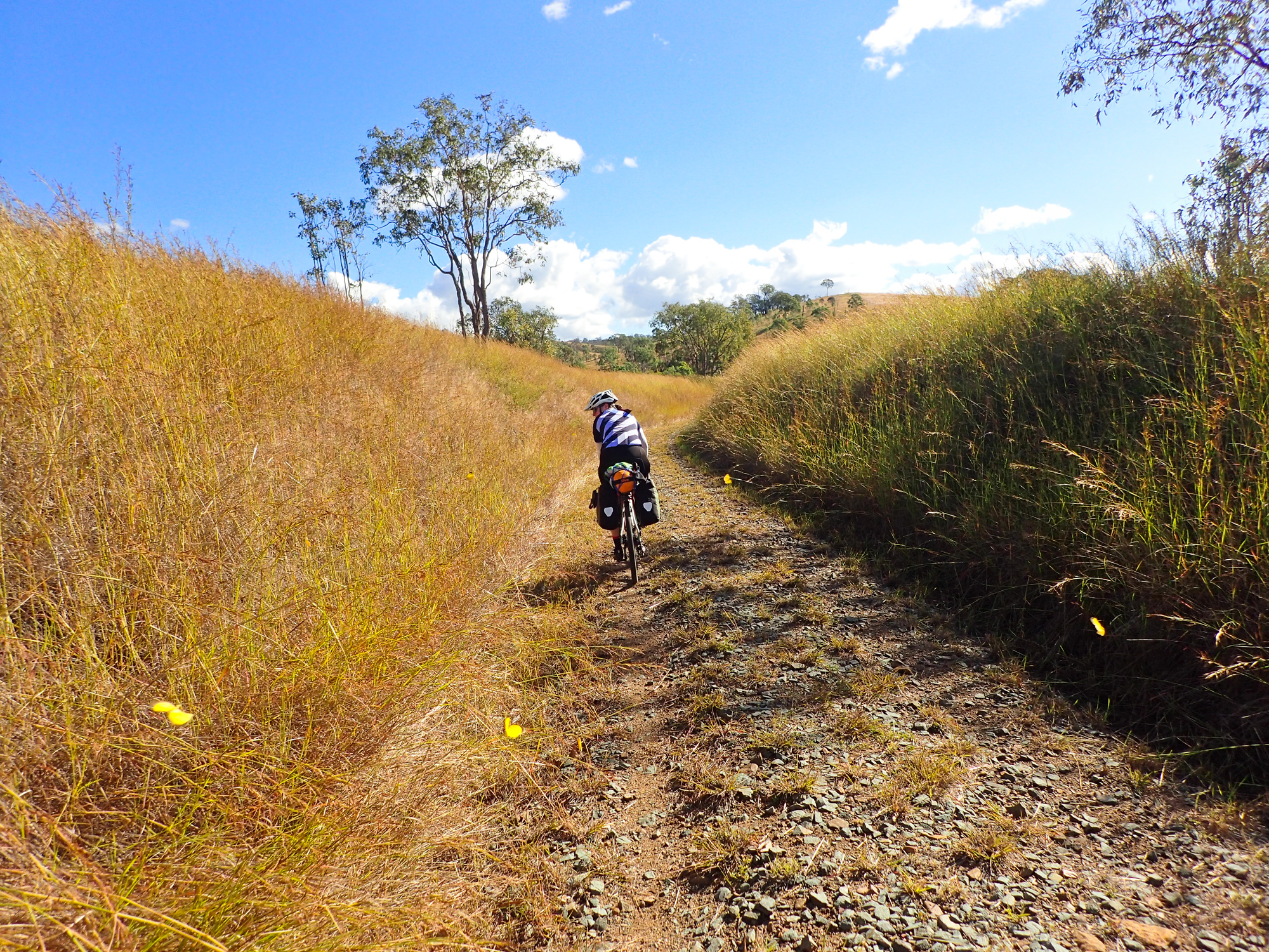
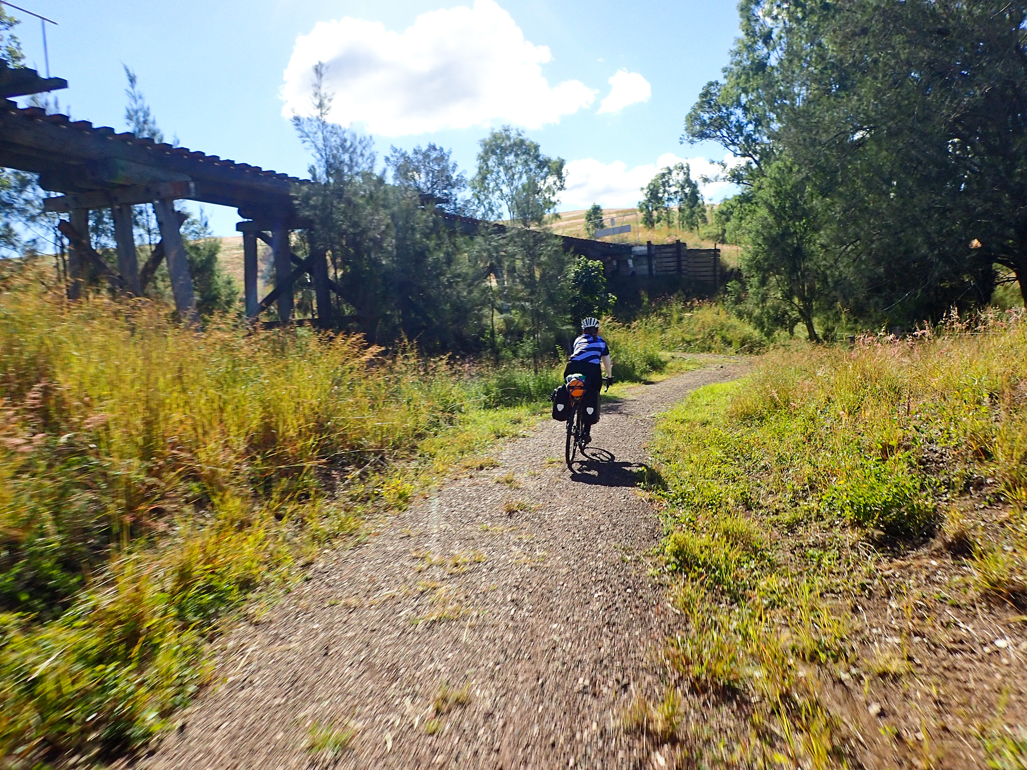
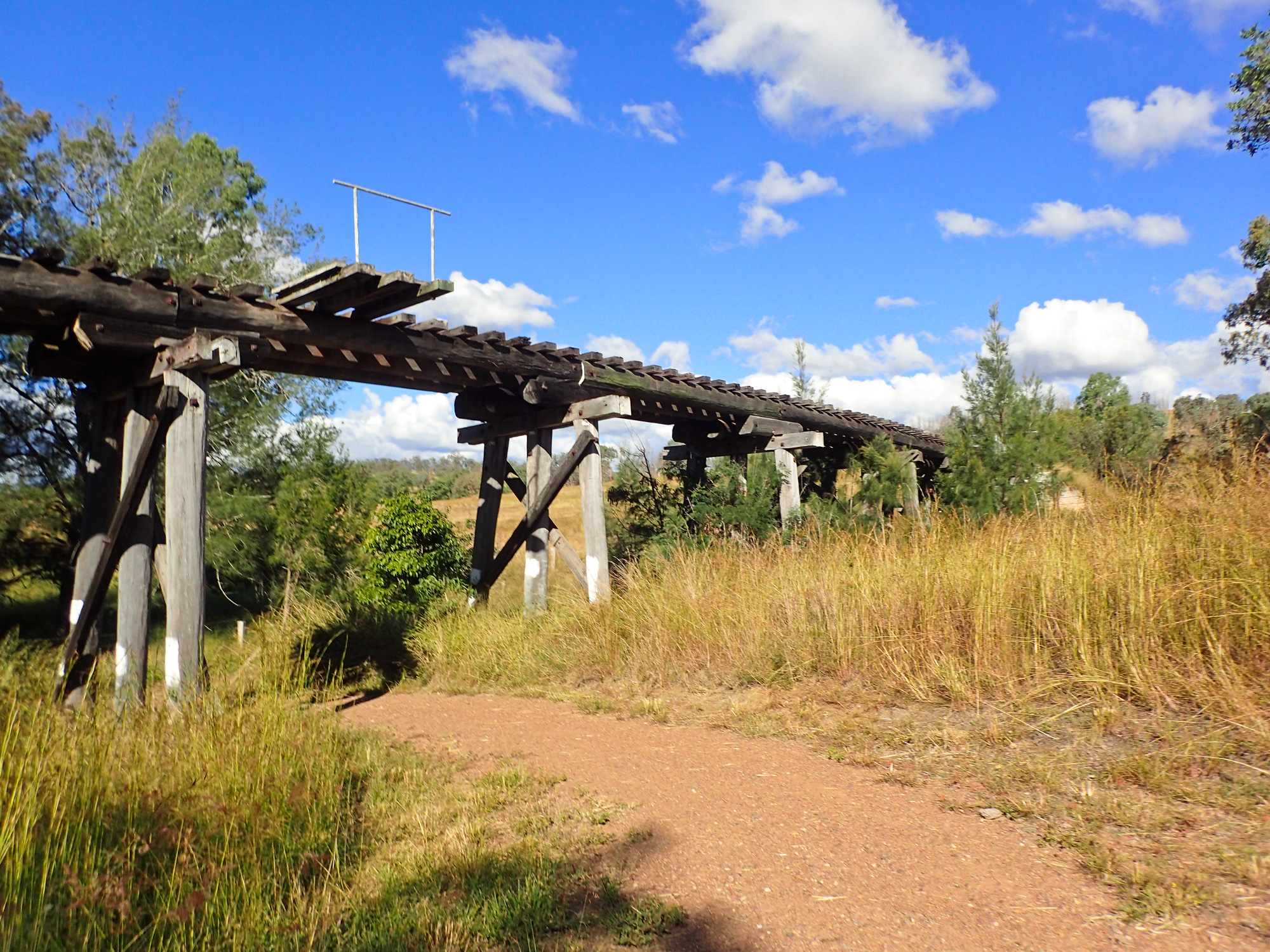
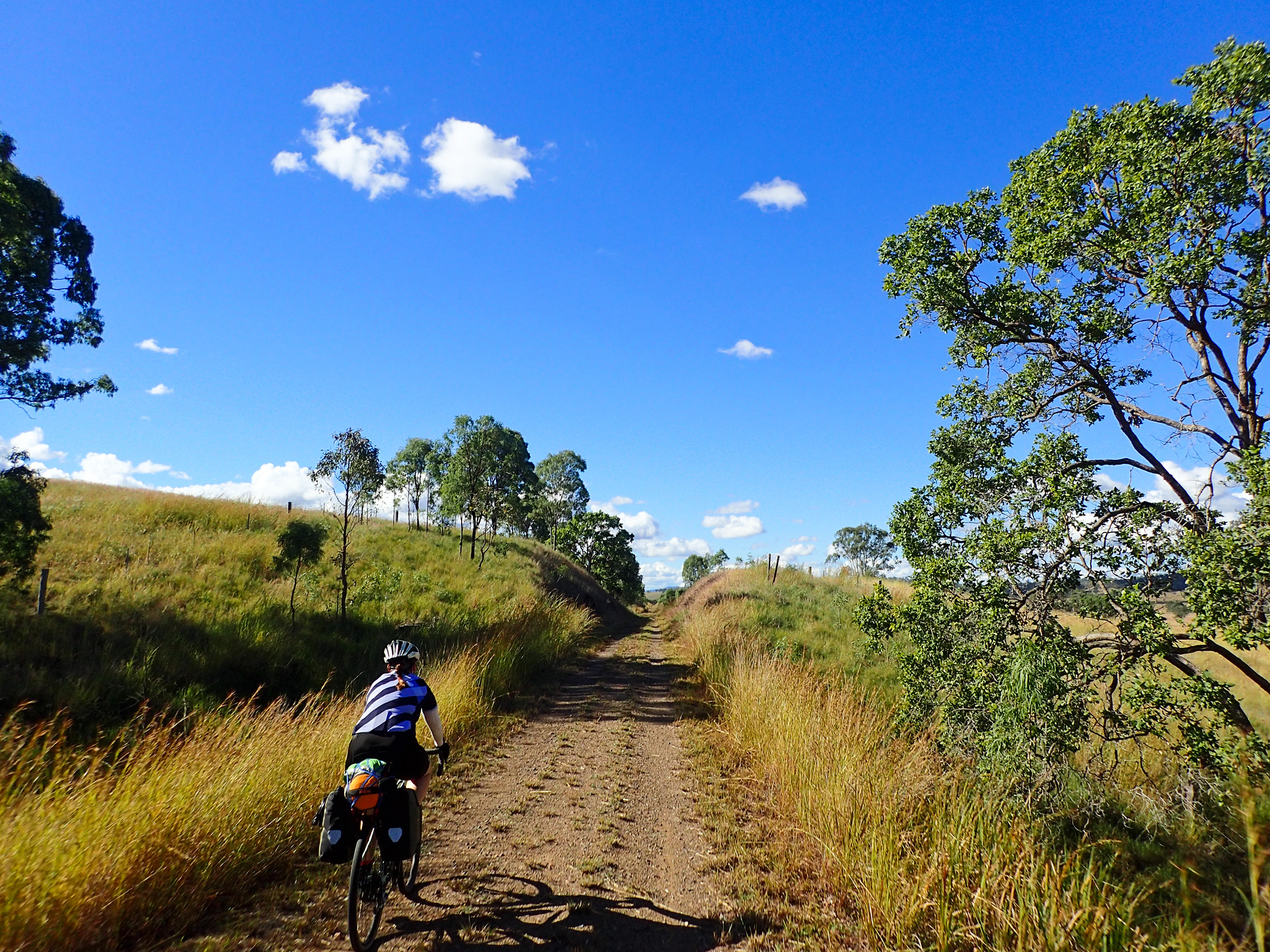
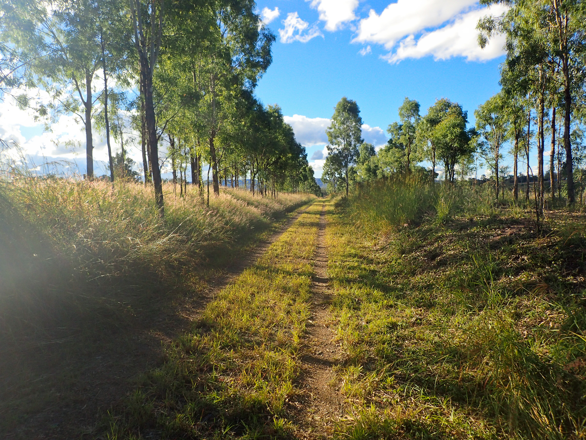
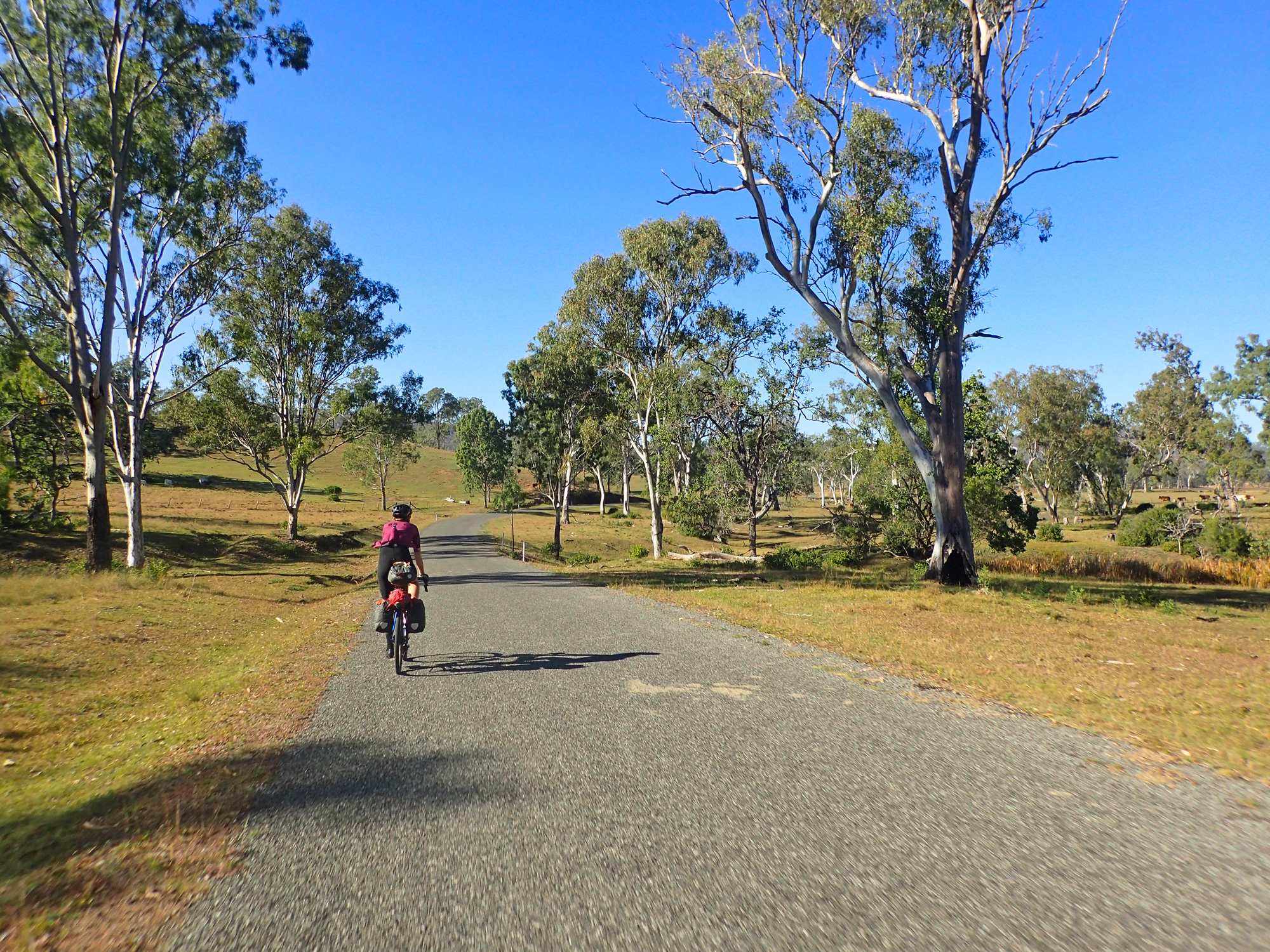
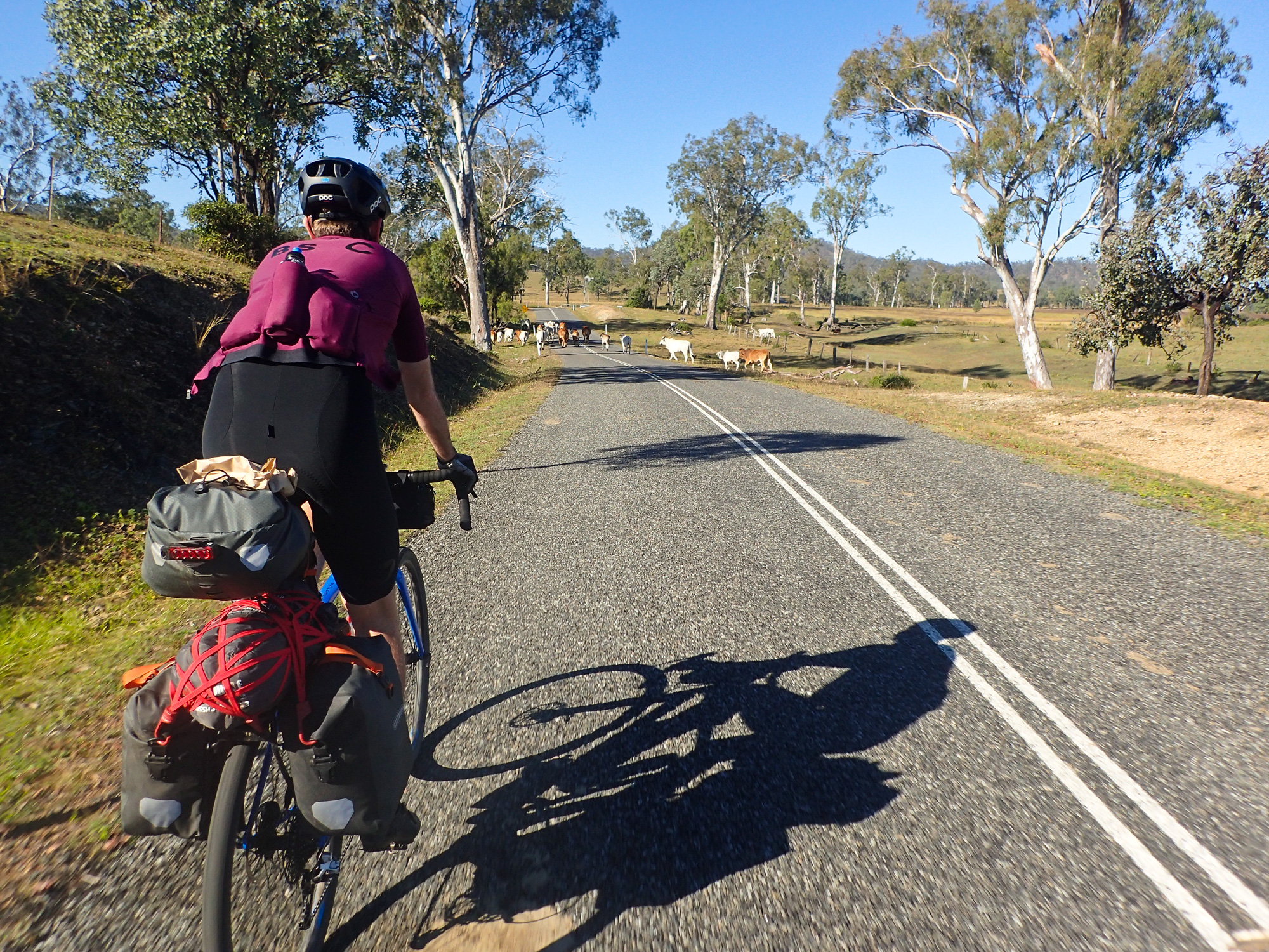
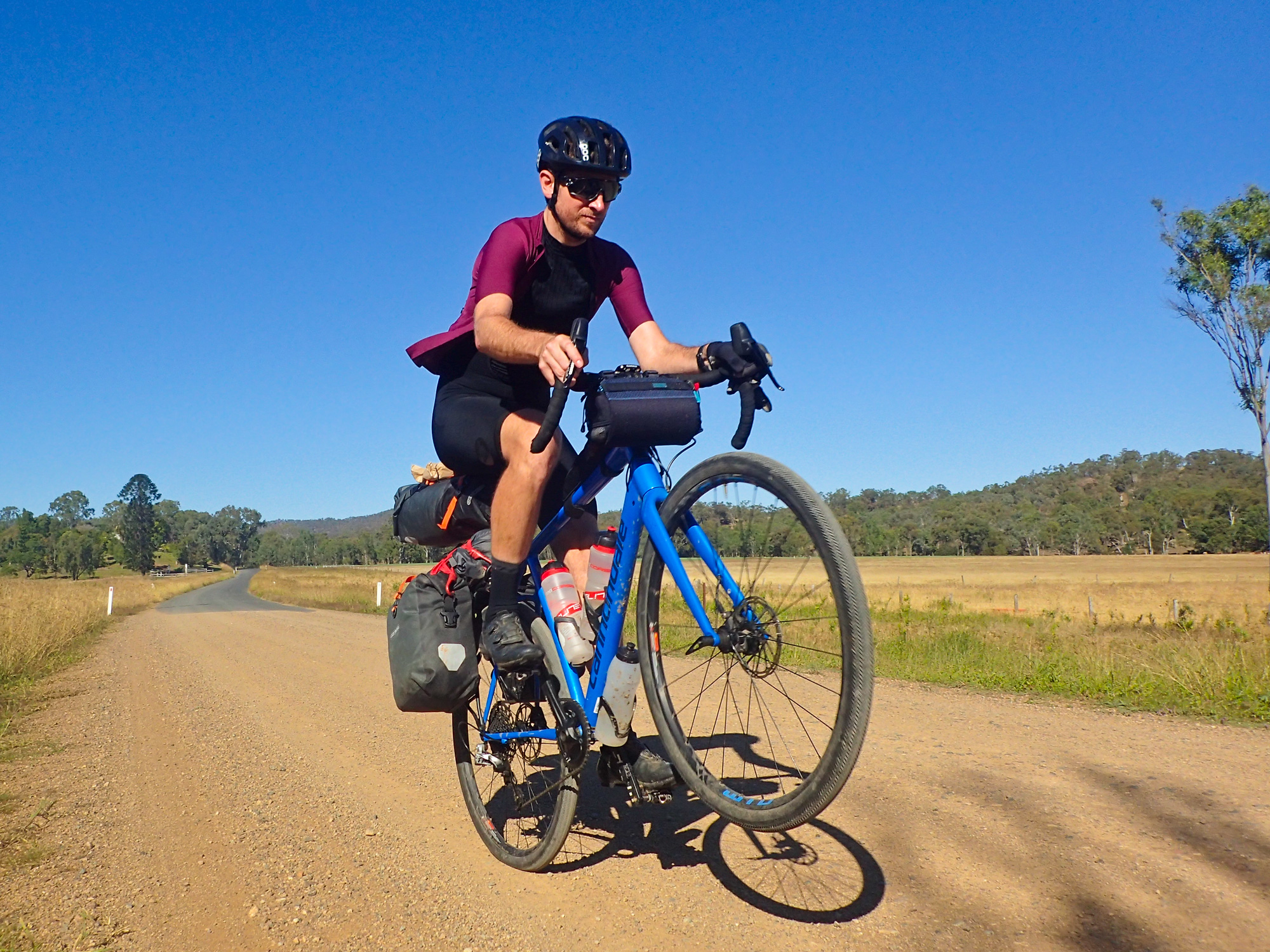
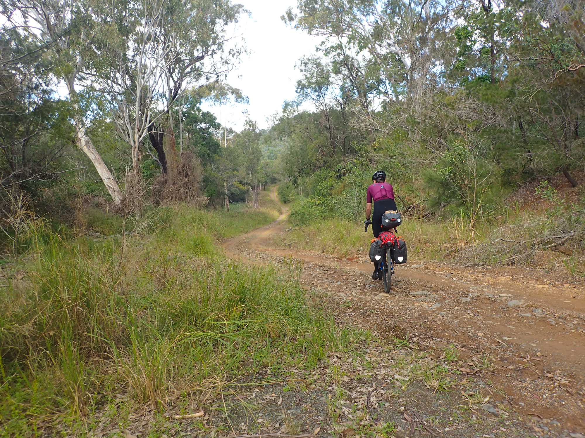
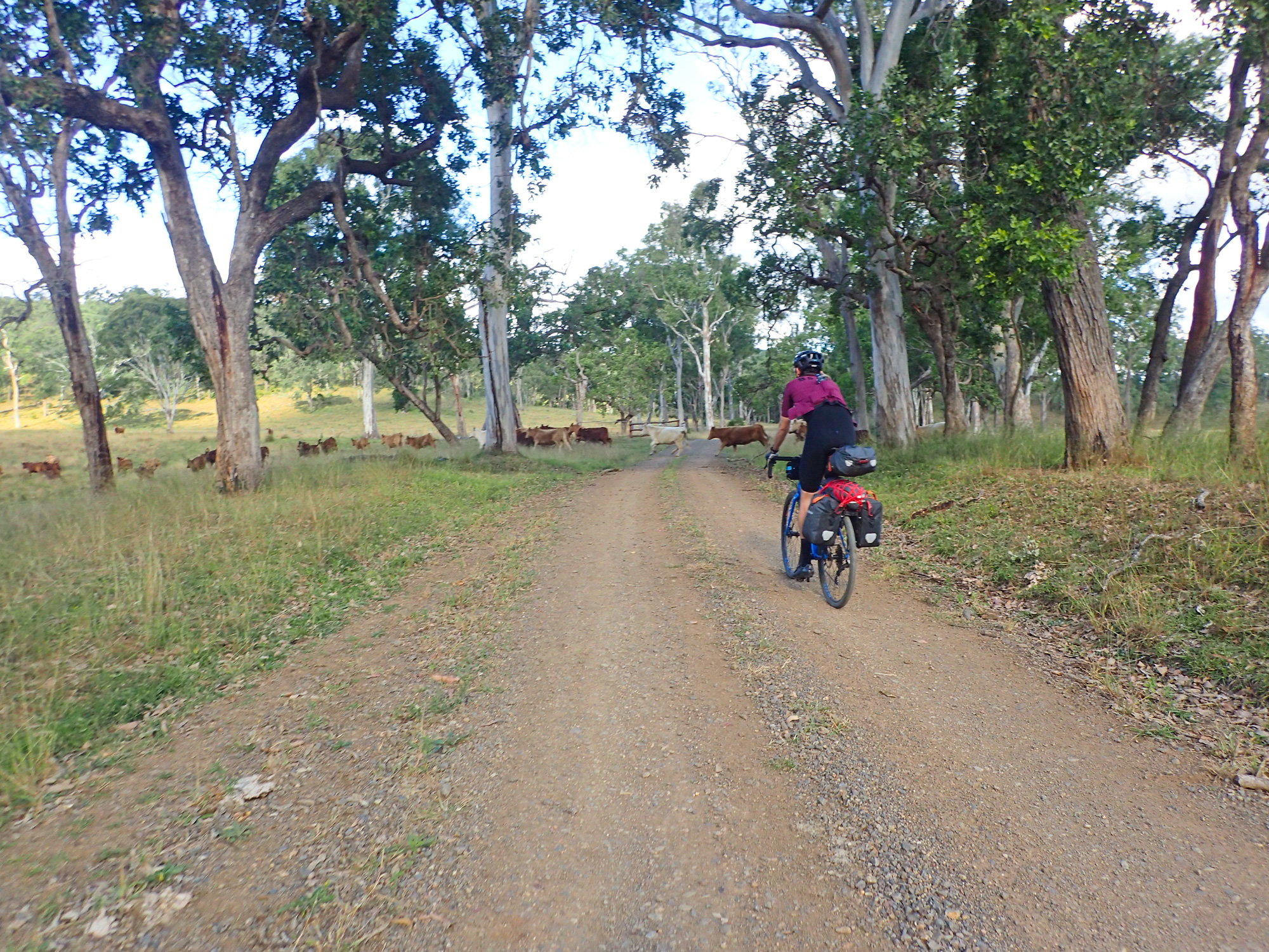
Day 2 saw us doing Esk-Yarraman which was 101km with 1061m of elevation gain. Since Esk is behind a mountain the sun doesn’t hit the town until about 8am in winter so its always very chilly. As a result we waited a little longer in our warm motel room before we set off. Once we did we only got moving for a couple hundred meters as we stopped at the bakery, got some sandwiches and had a light breaky ie sausage rolls before tackling the hardest section of the entire rail trail. The ballast section of Esk to Toogoolawah. It didn’t take too long before we had our first problem. Bronwyn stopped at the driveway for Mount View just outside of Esk to remove her jacket only to have the bike fall over as I just stood there taking photos and smiling 🙂 While the Esk-Toogoolawah section doesn’t that many major elevation gains, creek crossings or gates the sections that have ballast really takes a toll on your upper body/wrists/hands. So to avoid the bumps and sharp jolts you have to go faster which is easier said then done on a fully loaded gravel bike. Along the way we came across lots and lots of cows that graze along the trail. When we first did the rail trail they’d always run away from you. Now they just look at you or not bother at all. We arrived at Toogoolawah where we had a proper breakfast and recovered a bit after the ballast section. Not long later we departed for Moore. A year earlier the Toogoolawah to Moore section was constructed and had a good road base applied to the trail which is now starting to show signs of its age instead of its previous smoothness which you could ride a road bike on without a problem. This section of trail includes many creek crossings and the original 100m long Yimbun Railway Tunnel constructed in 1910 which is one of the very few tunnels left that can be traversed by foot in Queensland.
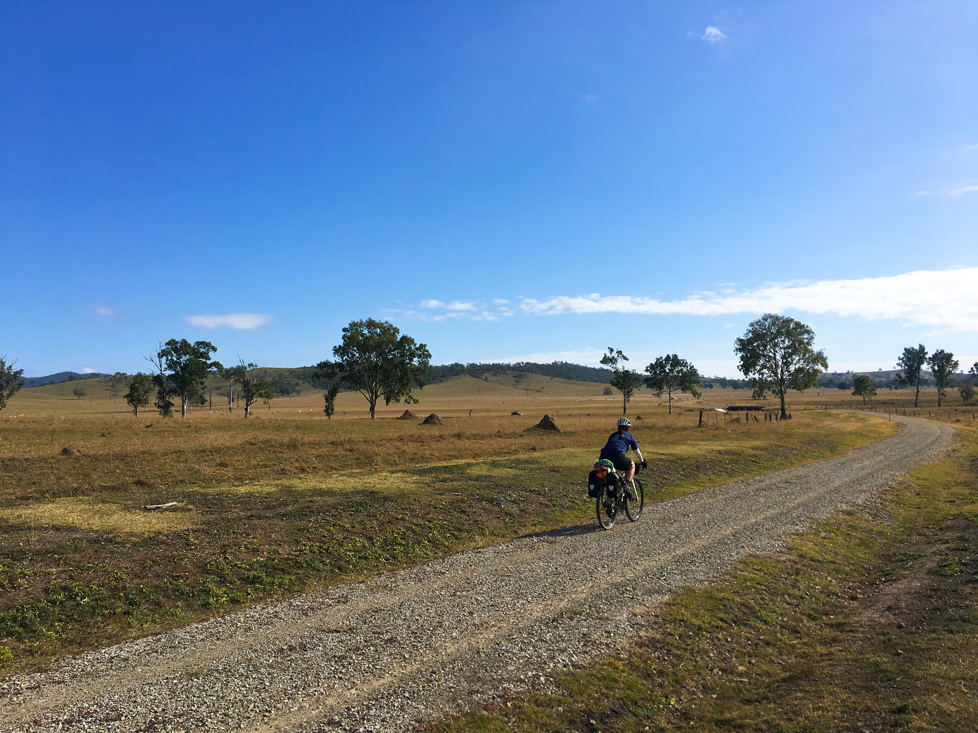
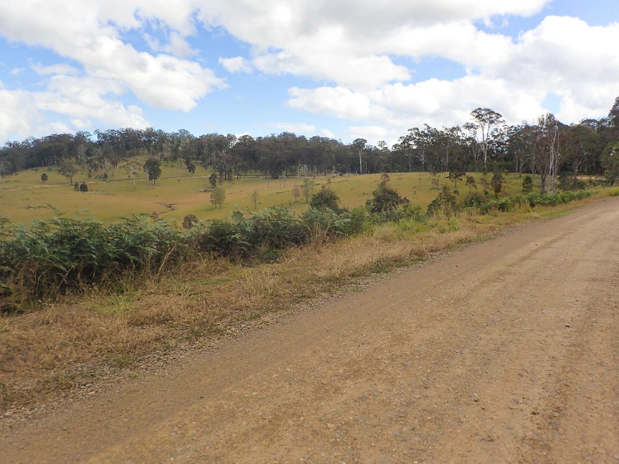
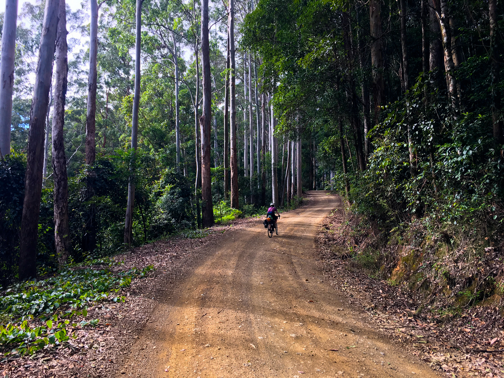
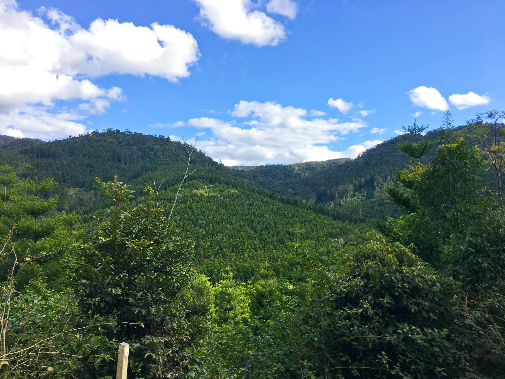
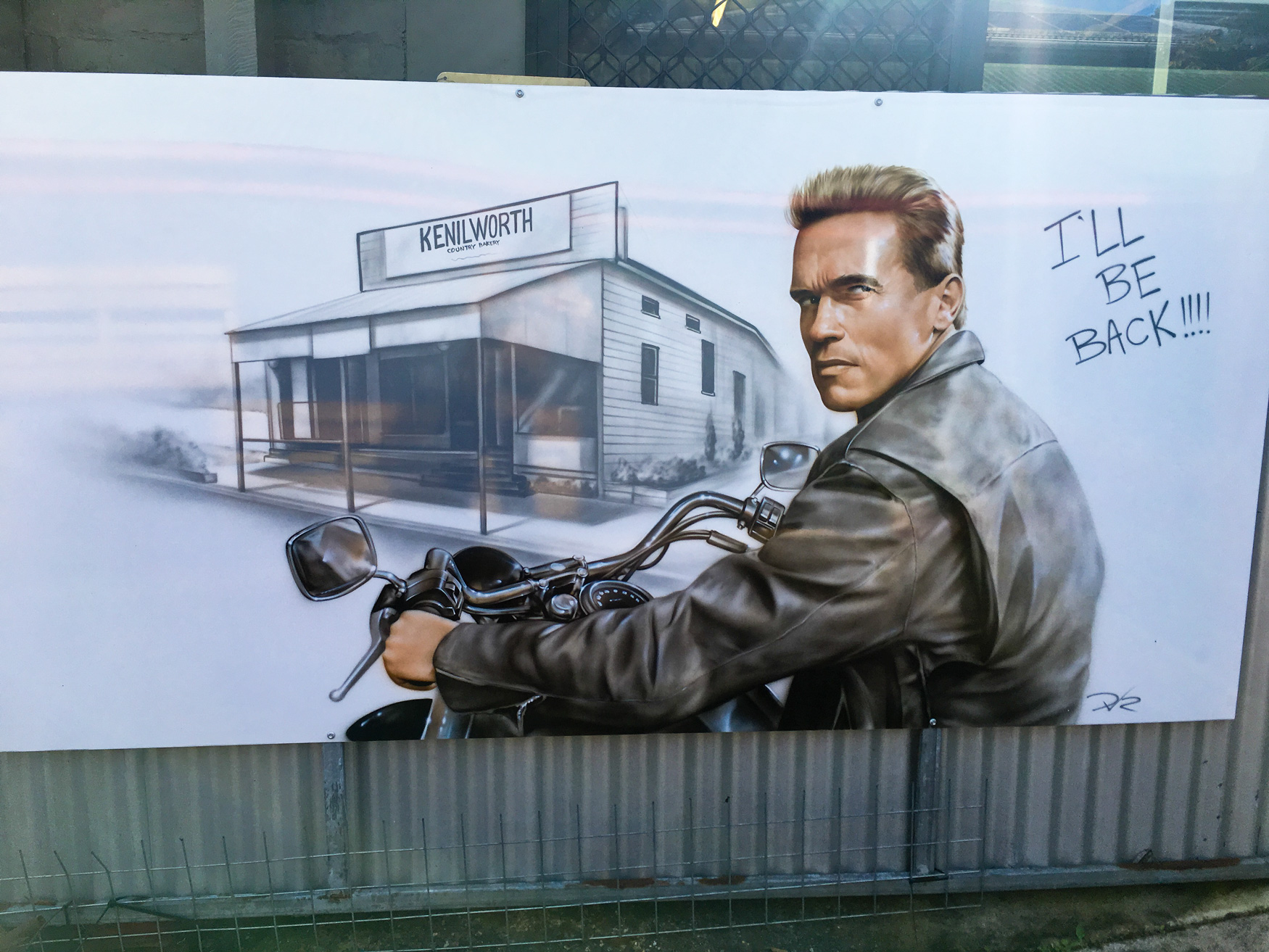
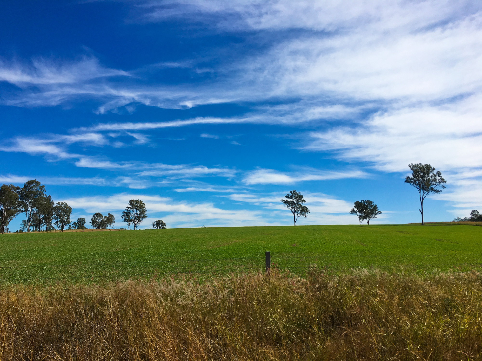
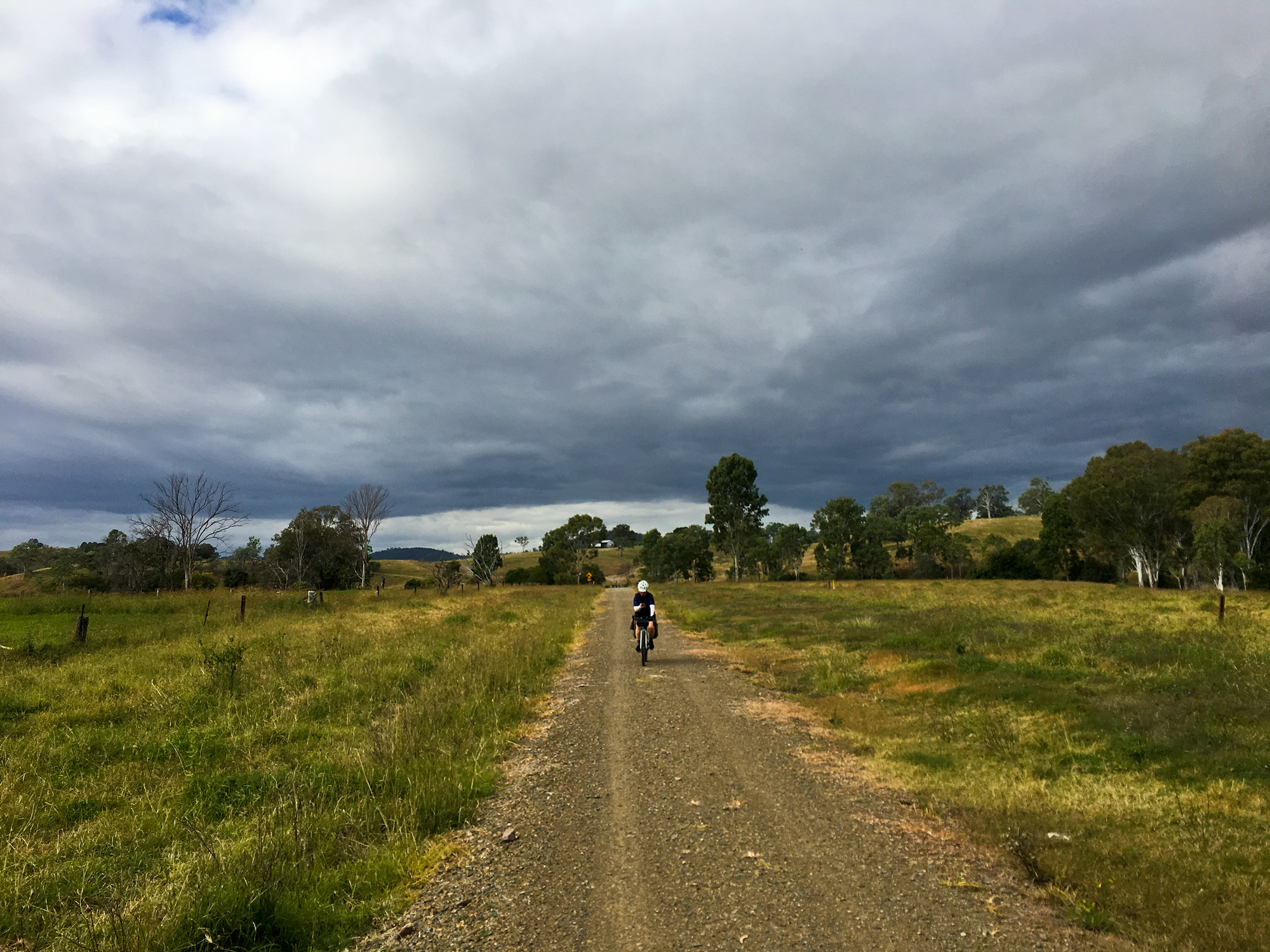
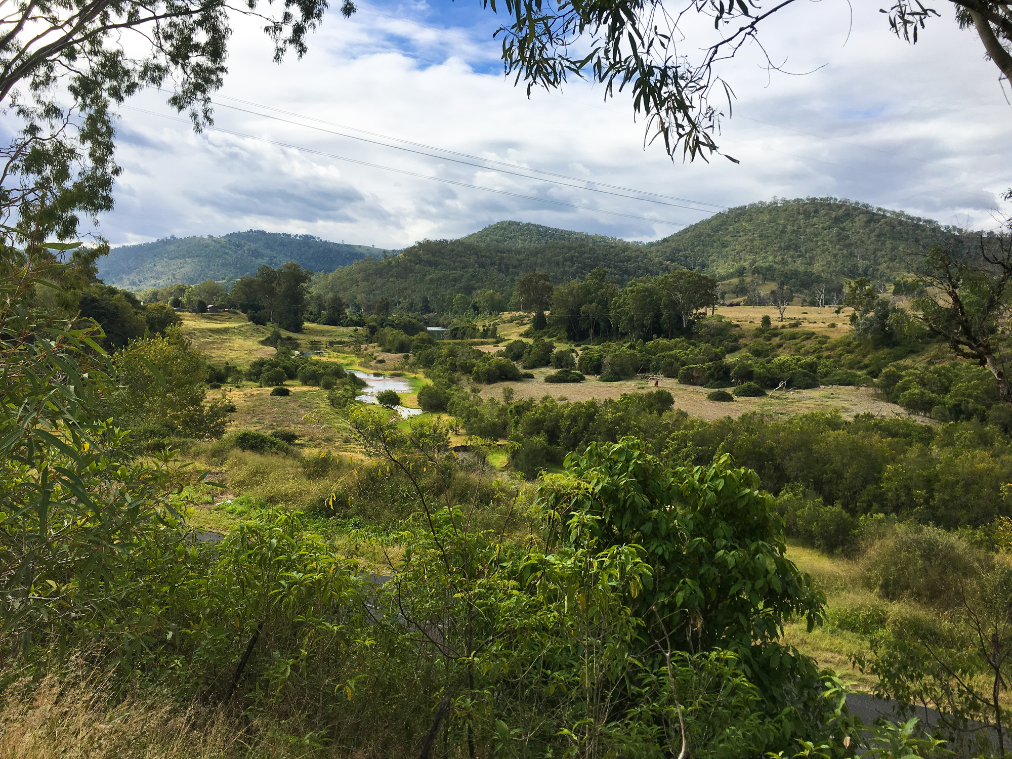
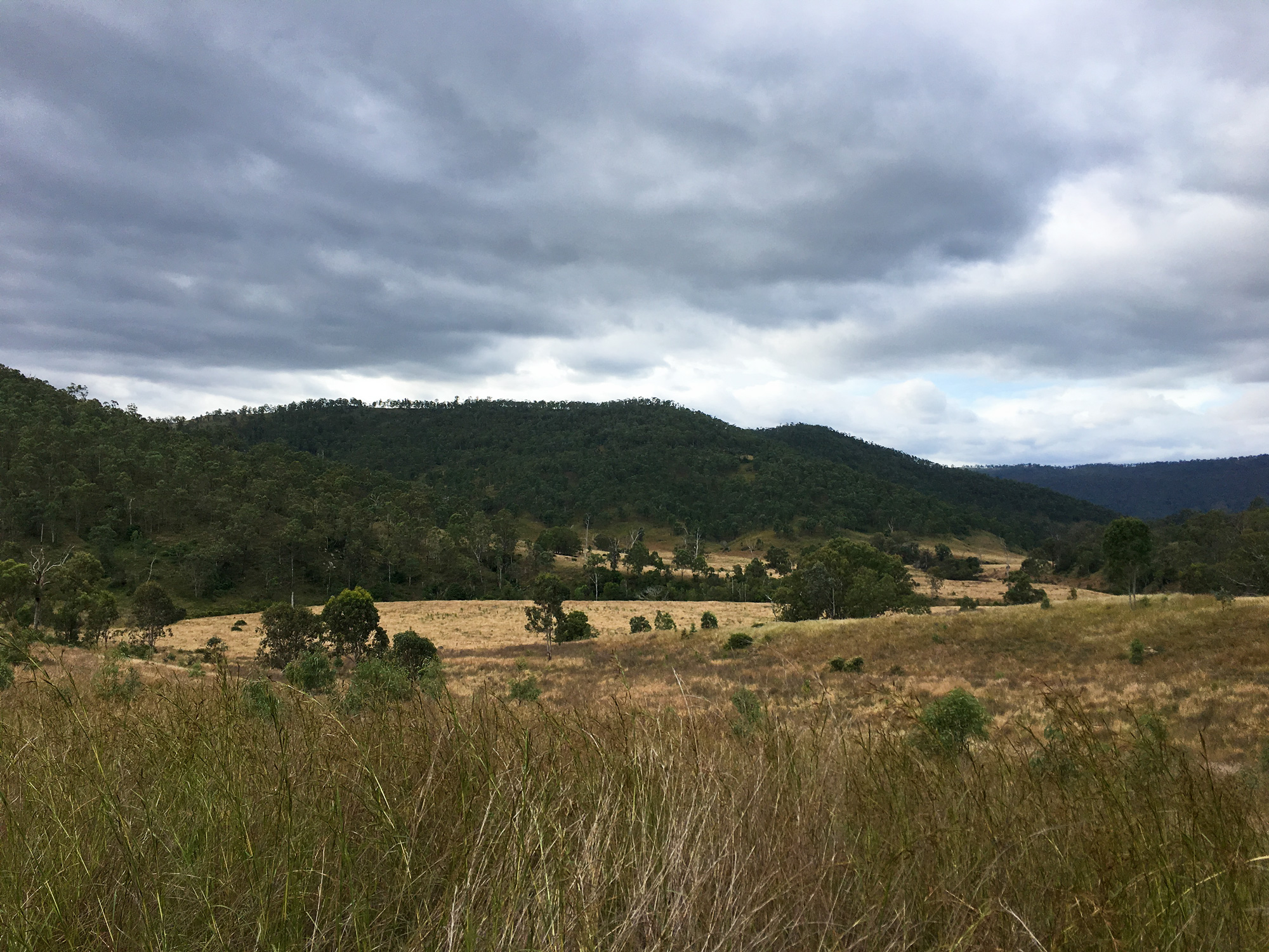
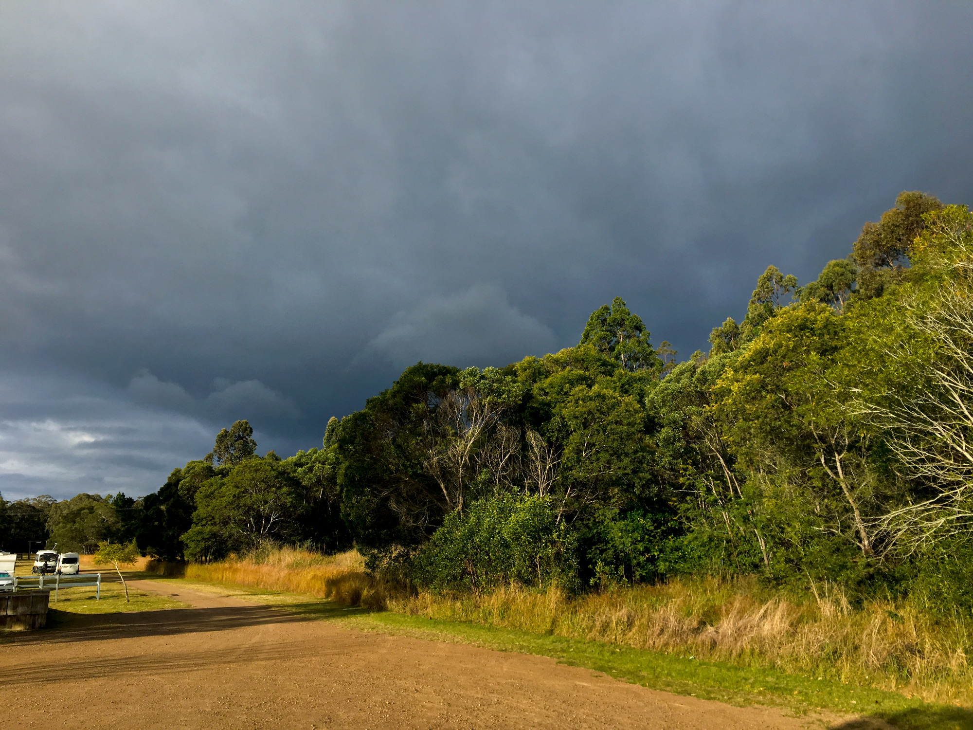
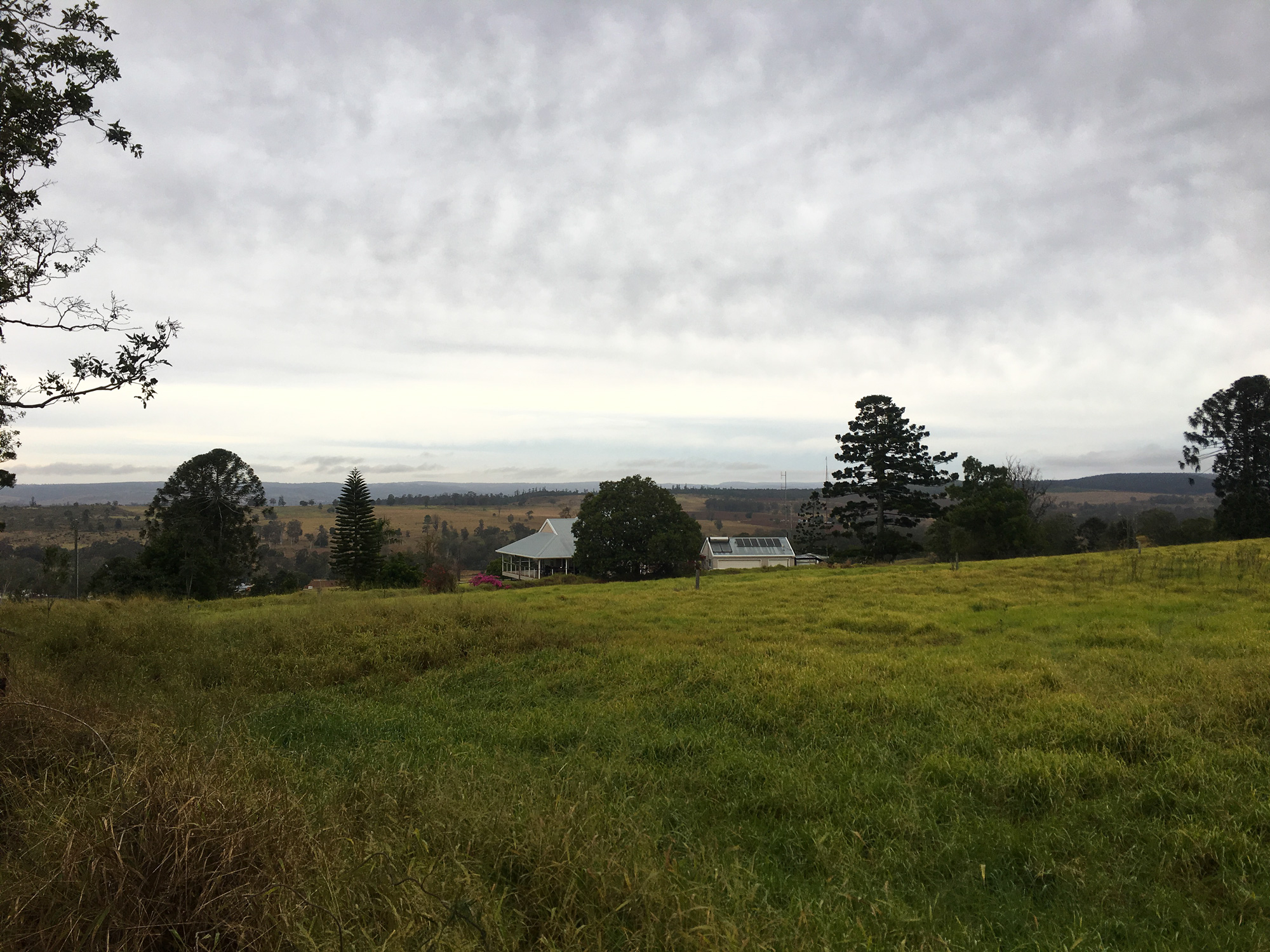
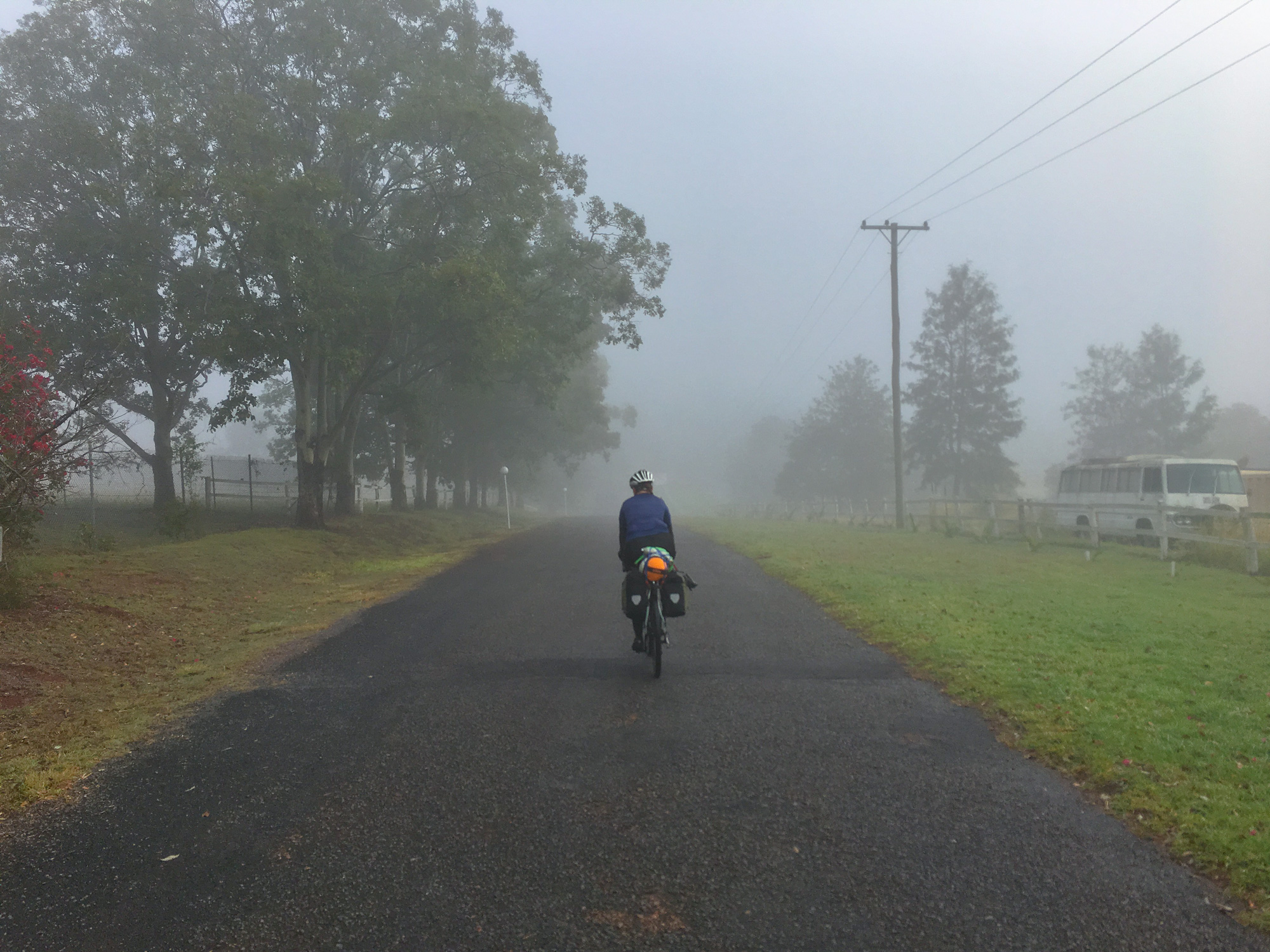
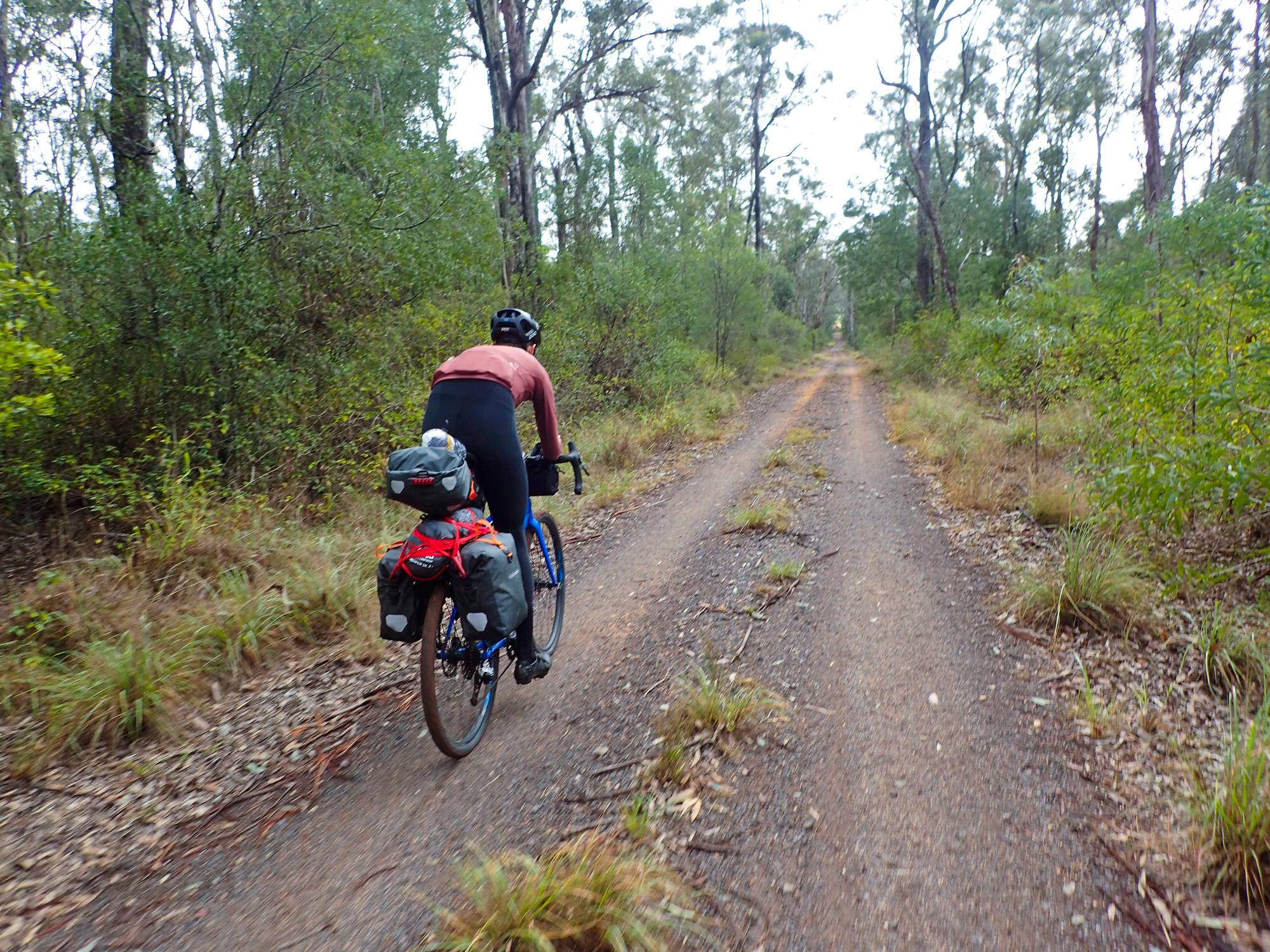
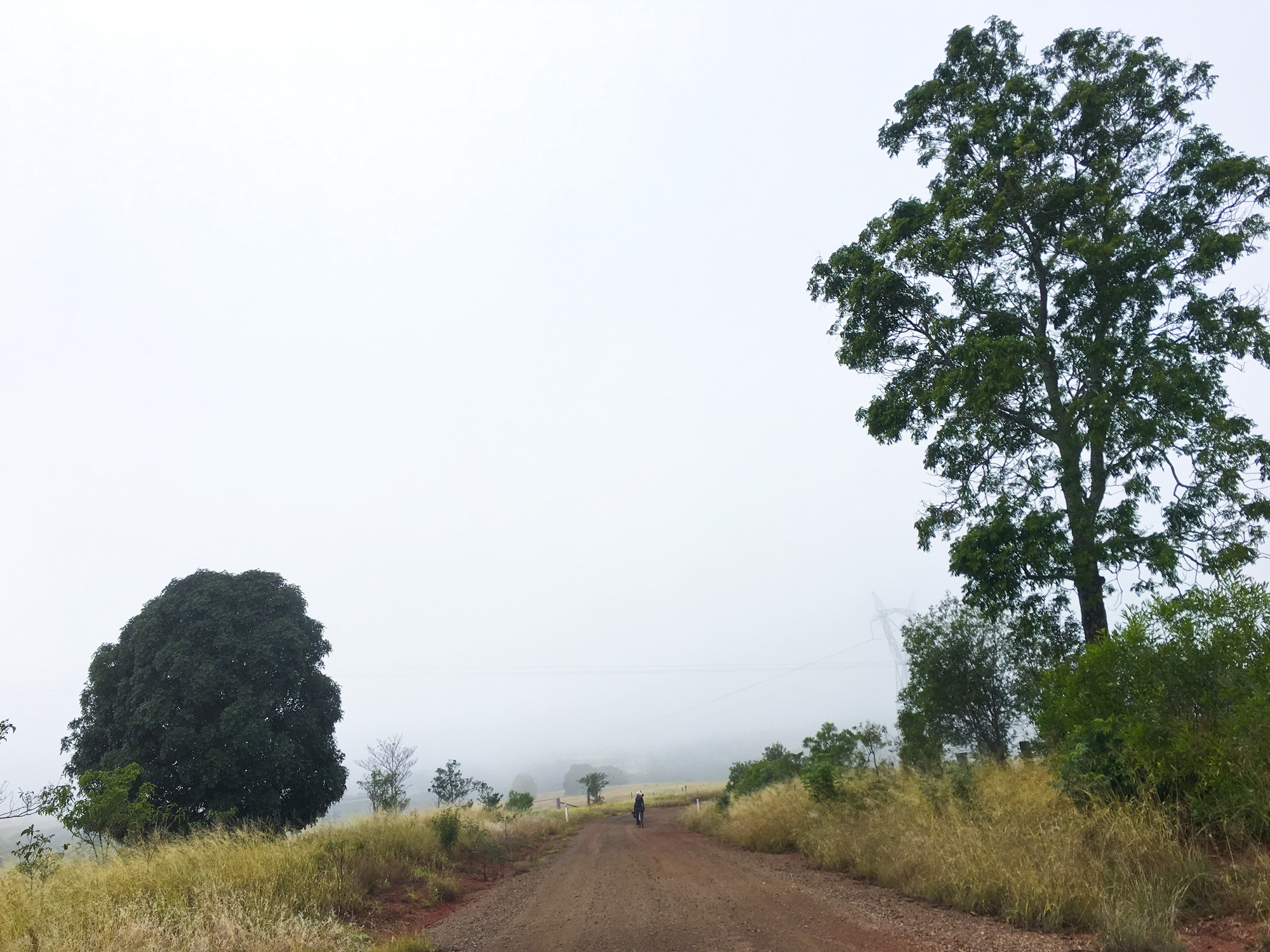
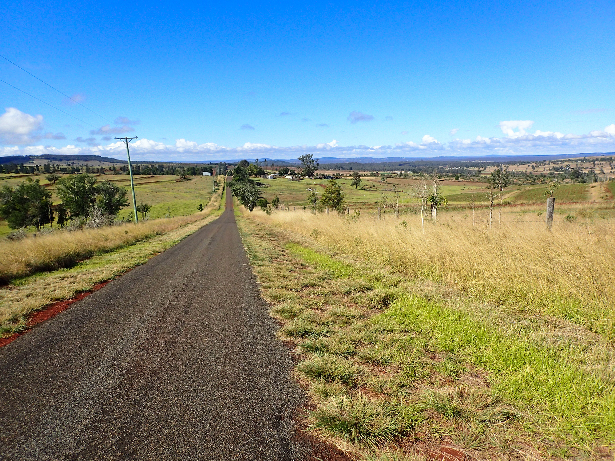
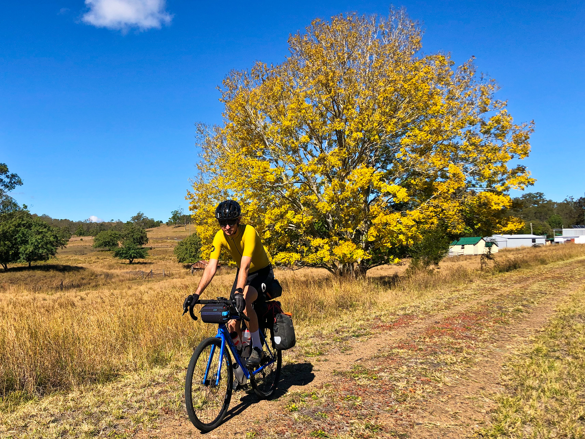
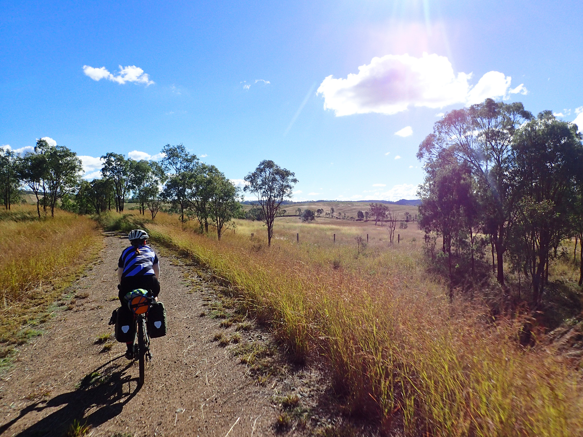
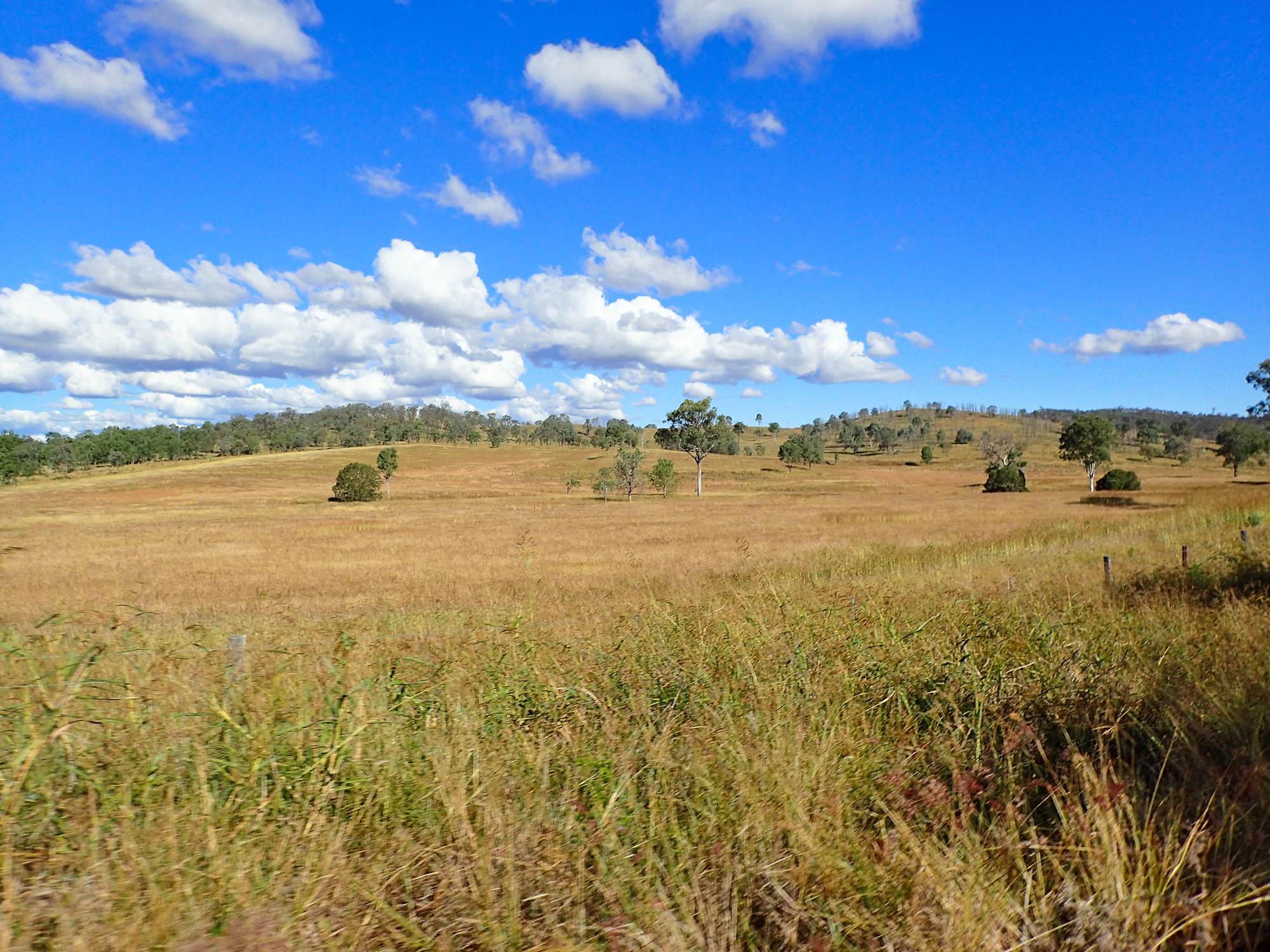
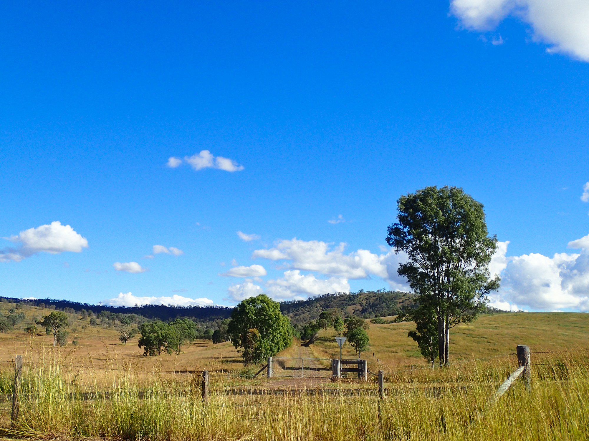
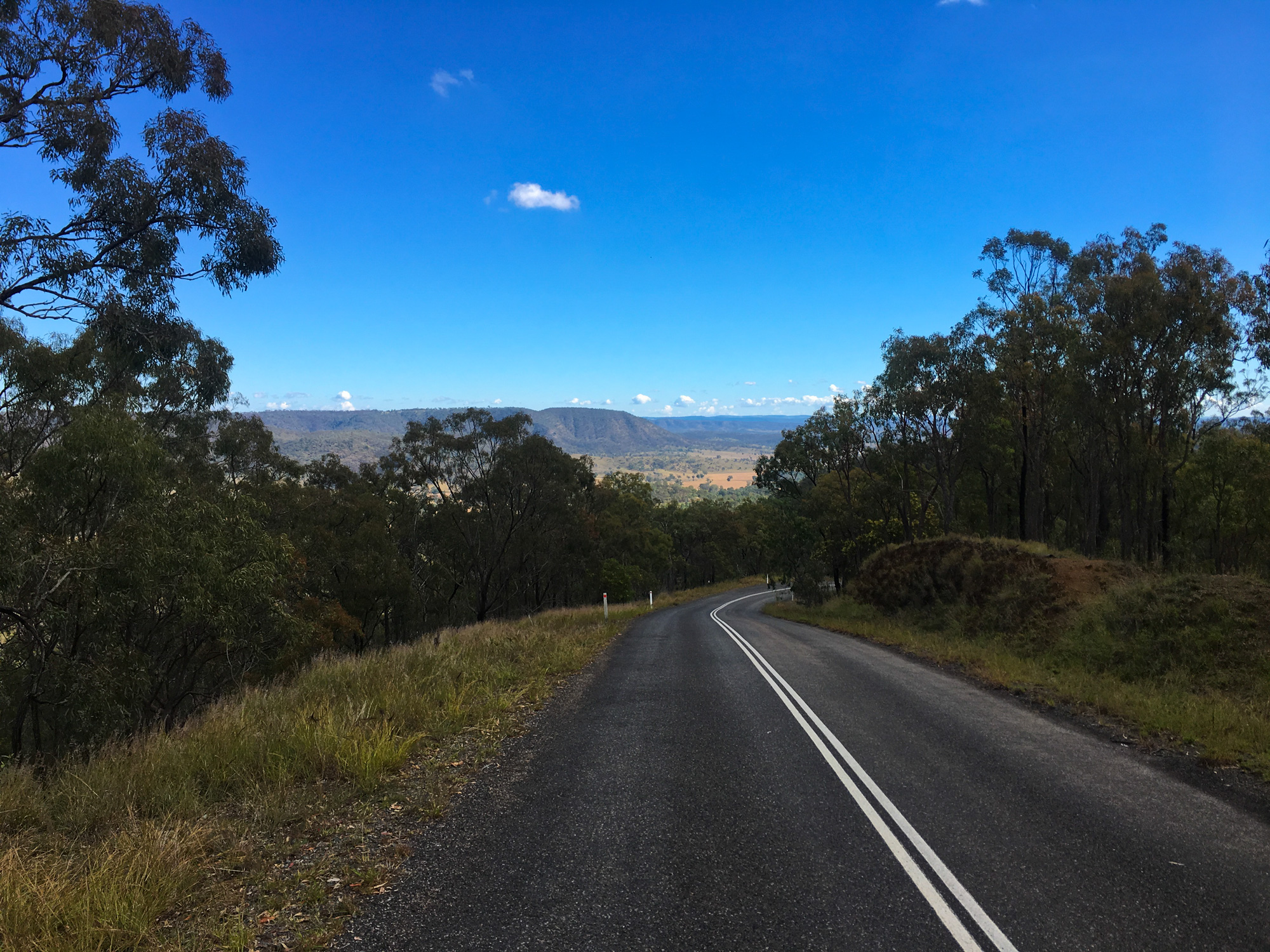
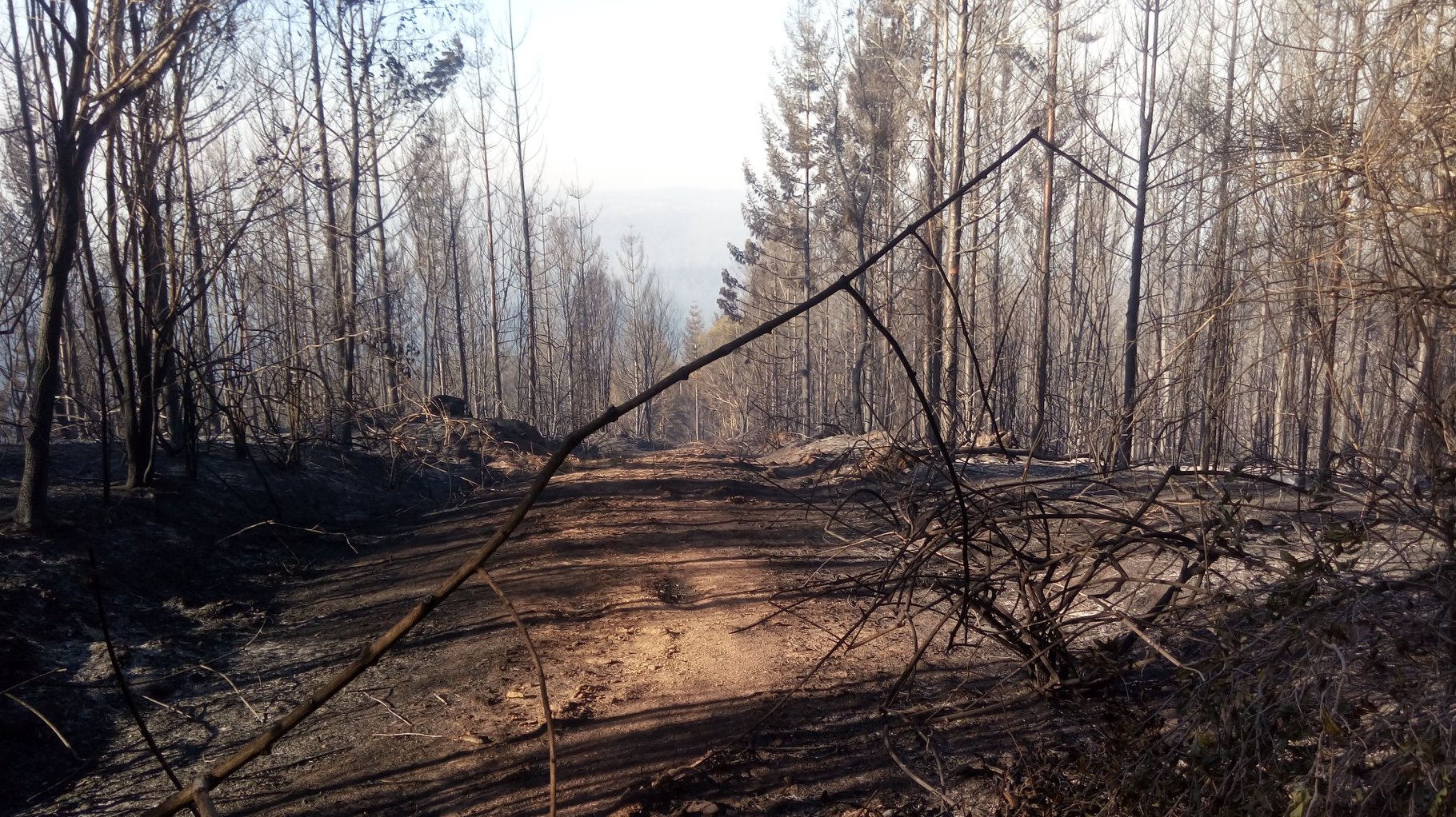
A few kilometers south of Moore was when we saw the first signs of the storm developing behind us but everything was still looking good ahead of us and on the radar. We arrived at Moore for lunch and to top up on liquids and food as the next stop was going to be either Blackbutt or if we were running late for time – Yarraman. The whole route from Moore to Blackbutt was just green grass and green trees as far as you could see. A nice reminder of how good the area is to ride when there’s been a constant amount of rain fall in the area. This would be a far cry different in the following months as very large bushfires ravaged the landscape around Lineville and all the way up the range to Benarkin on and around the rail trail. In fact the only way in to fight the fires in the valley was via the rail trail. As we started the climb from Linville to Blackbutt the temperature was slowly dropping from around 19 degrees to the 15 degrees when we arrived at Blackbutt as the sun slowly went down.
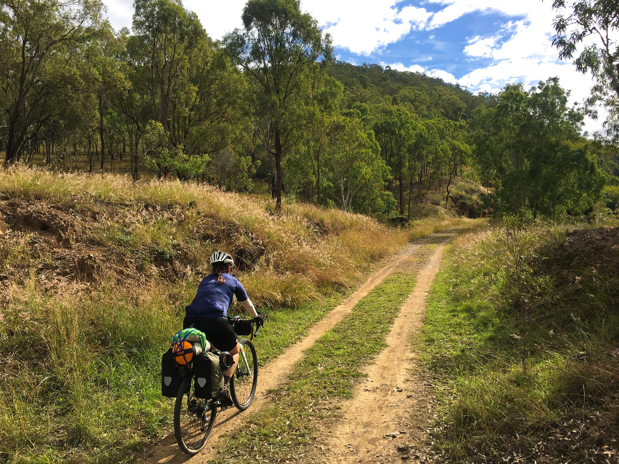
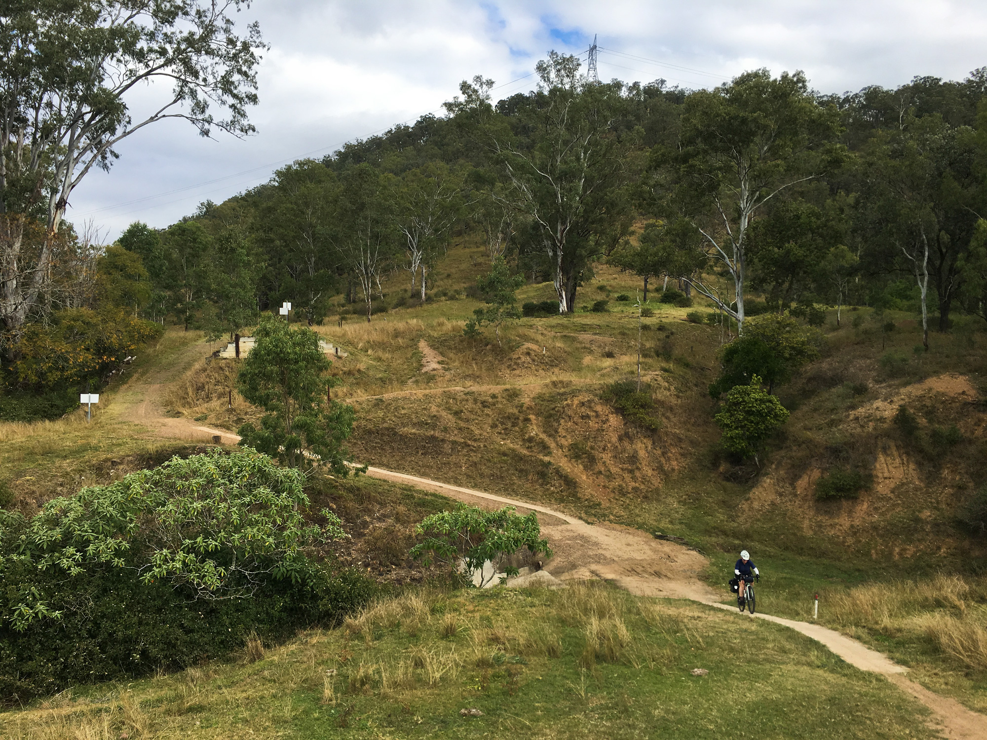
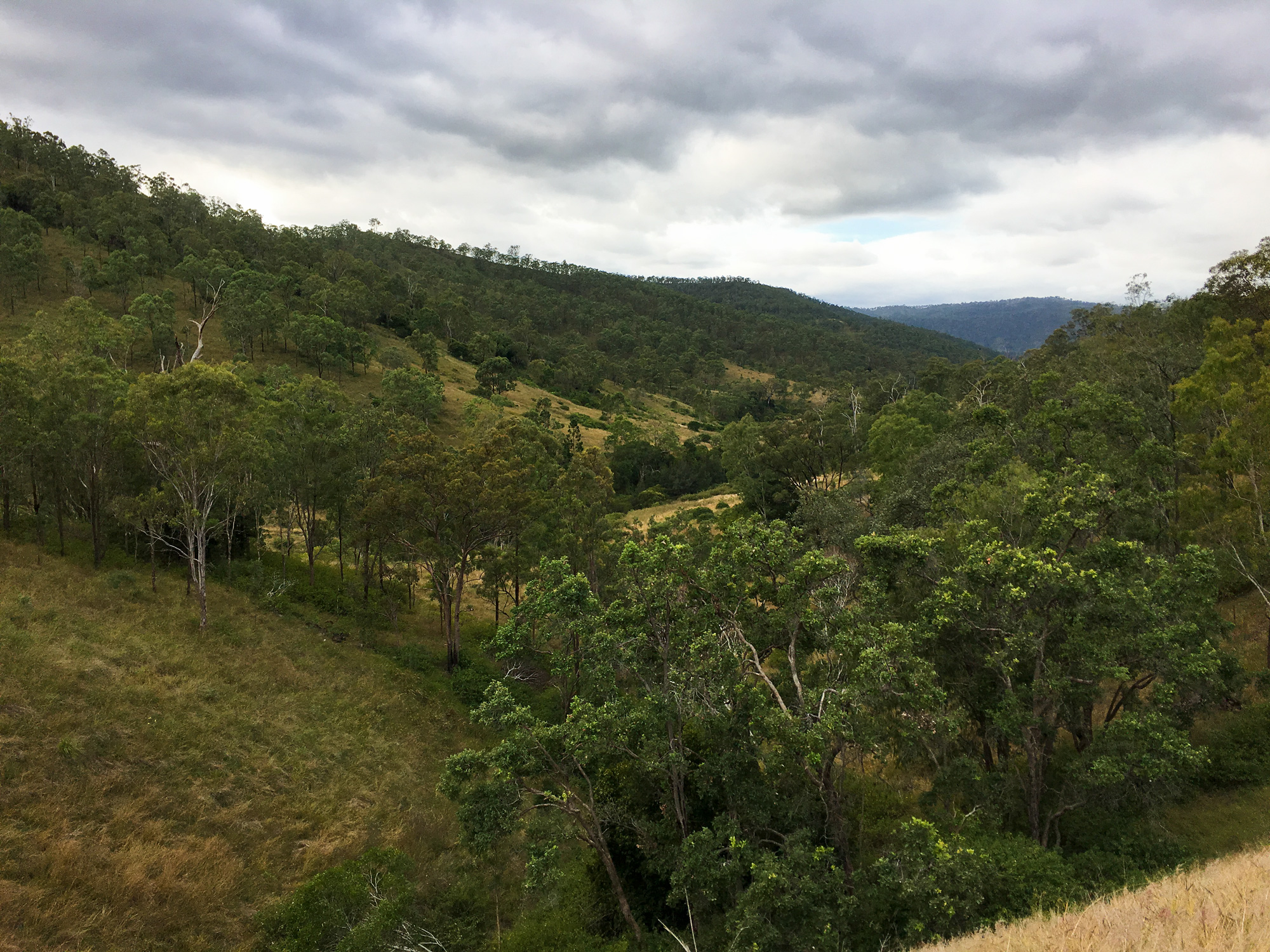
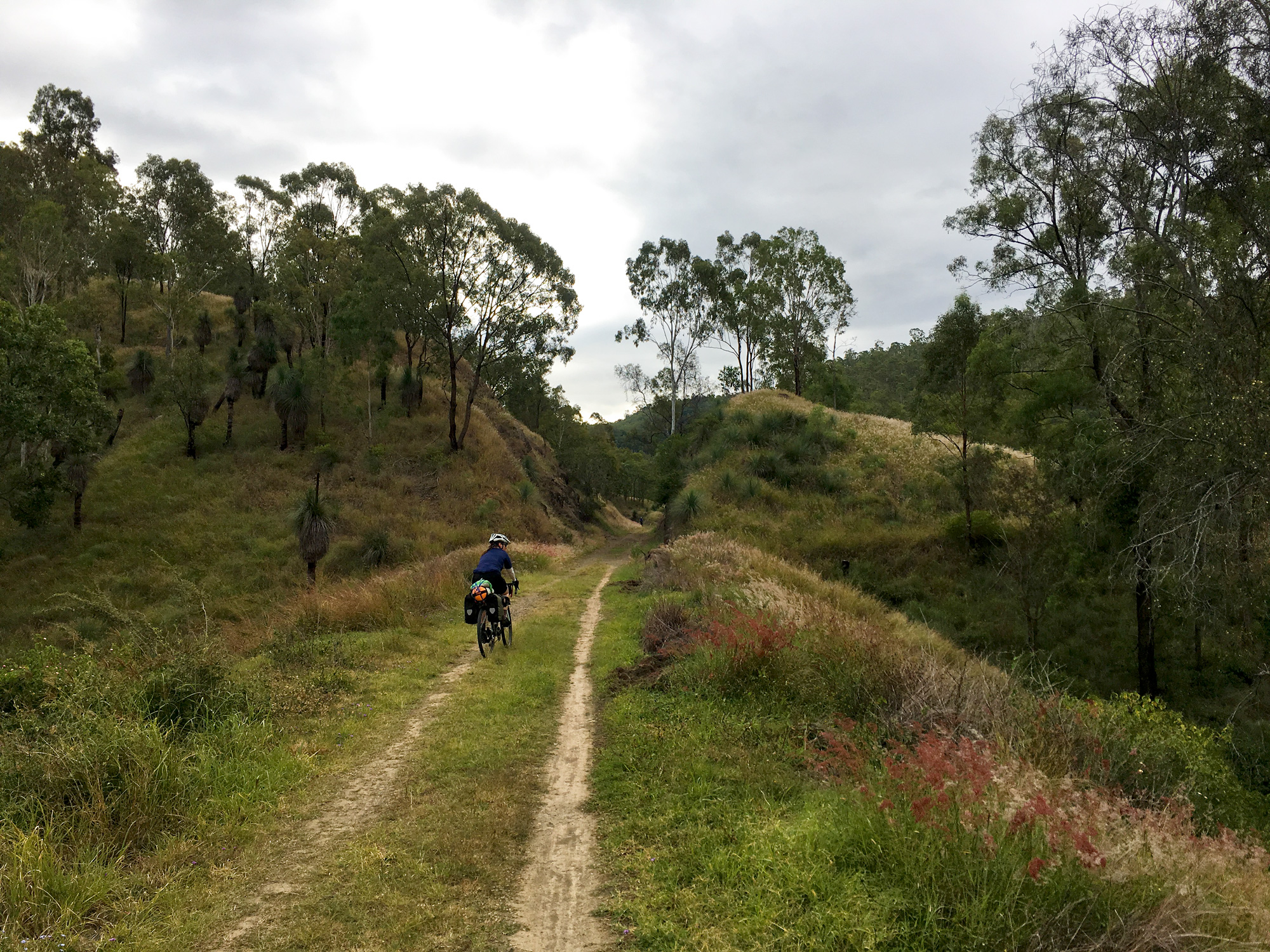
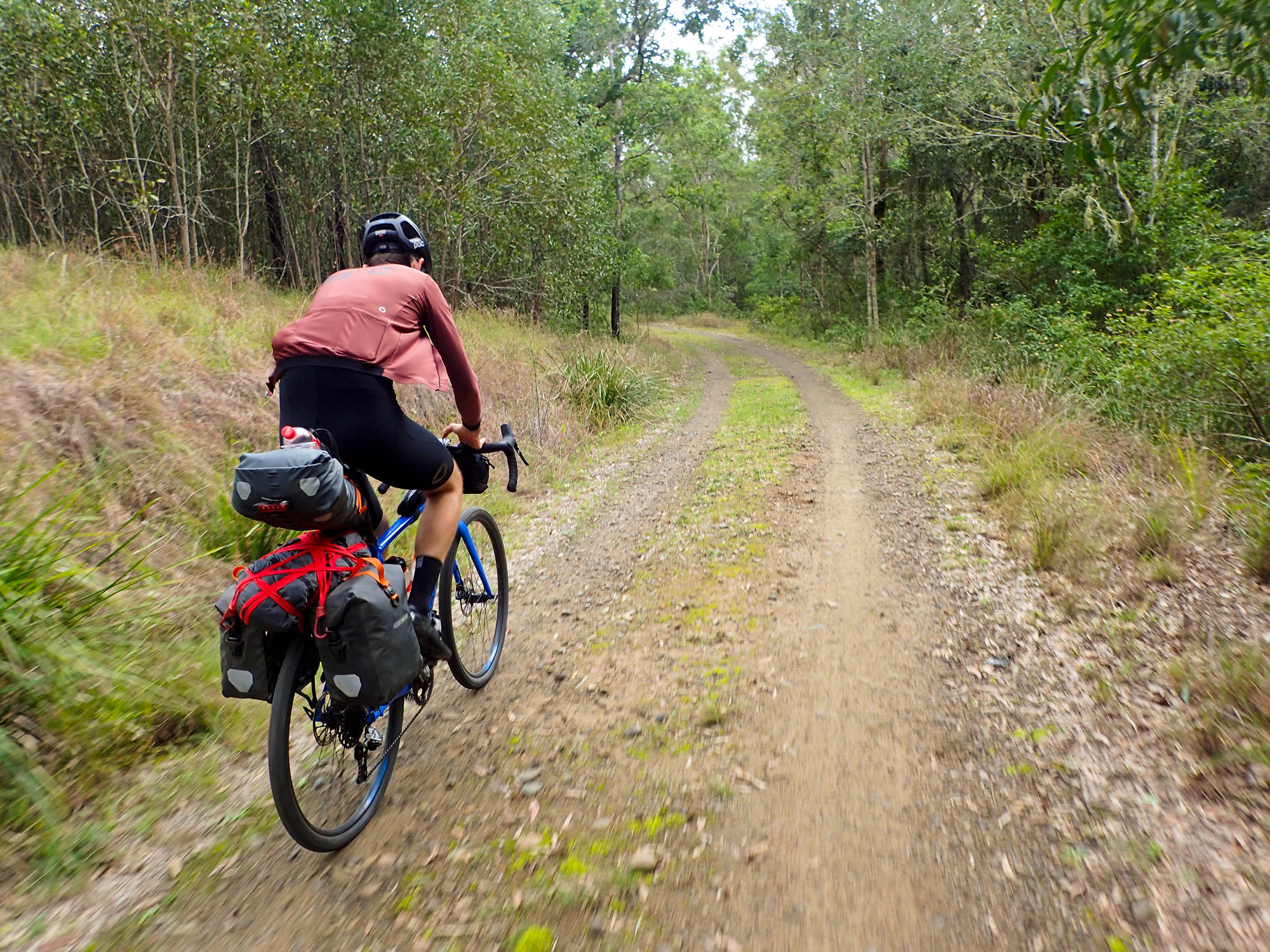
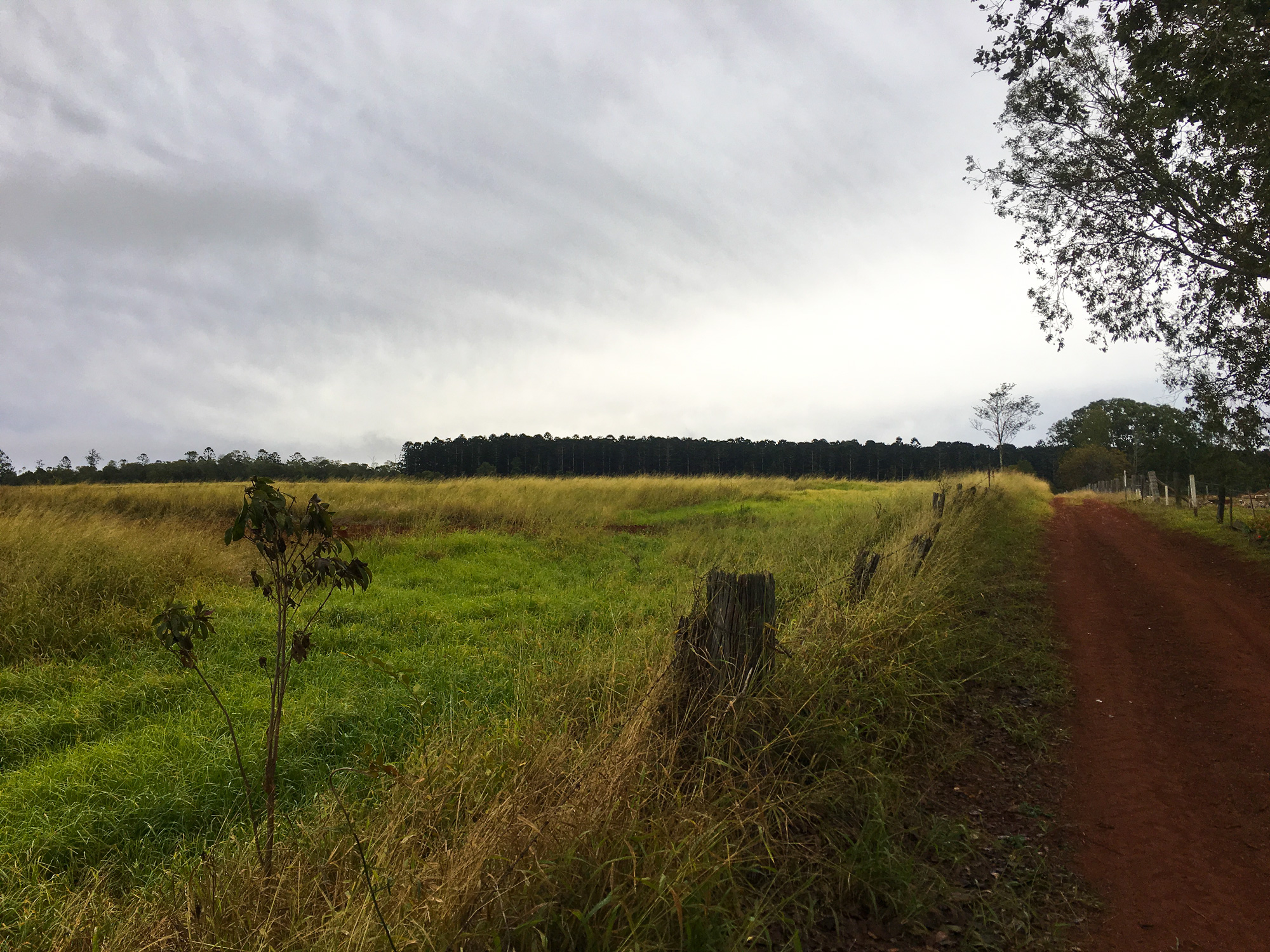
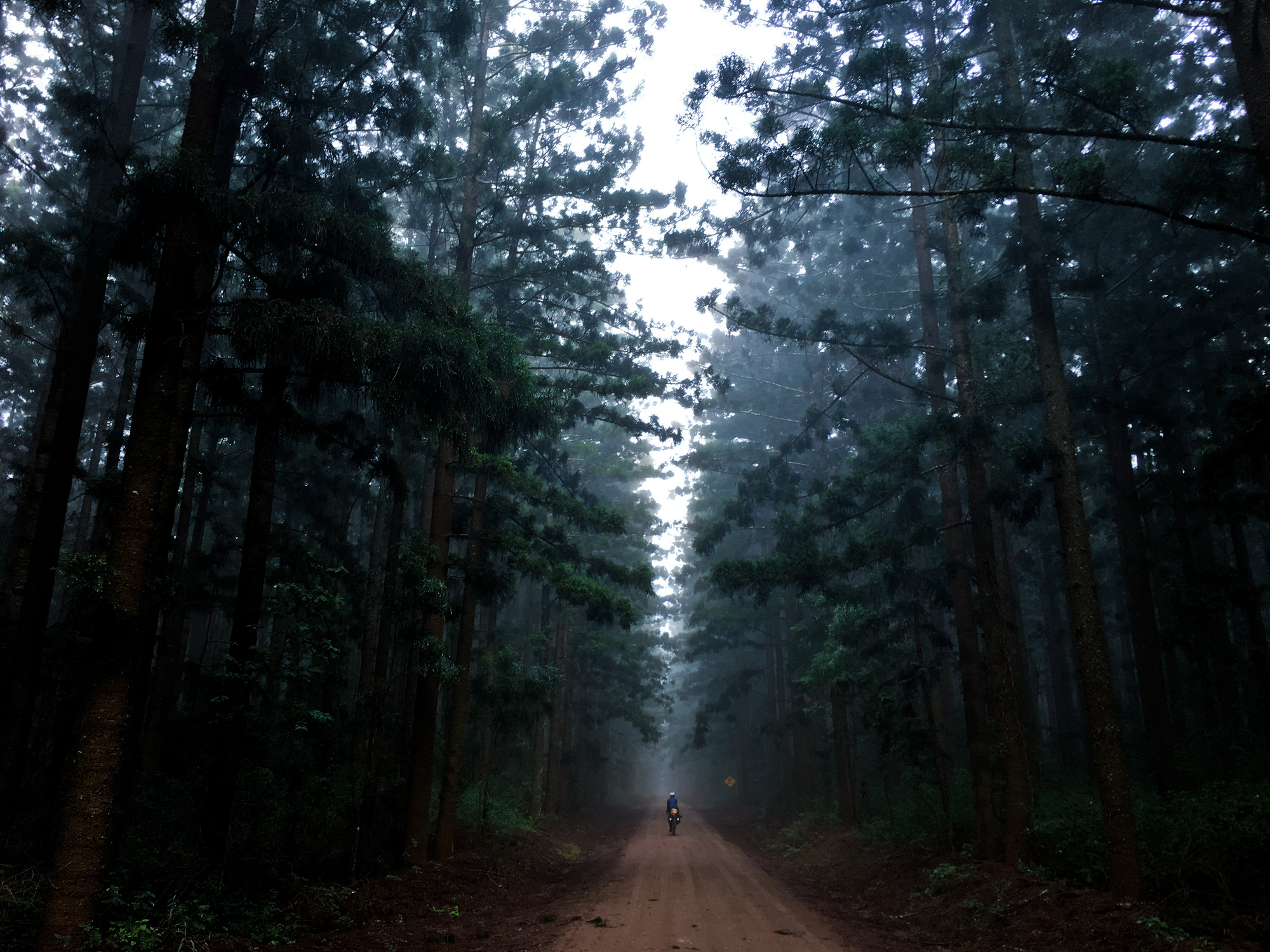
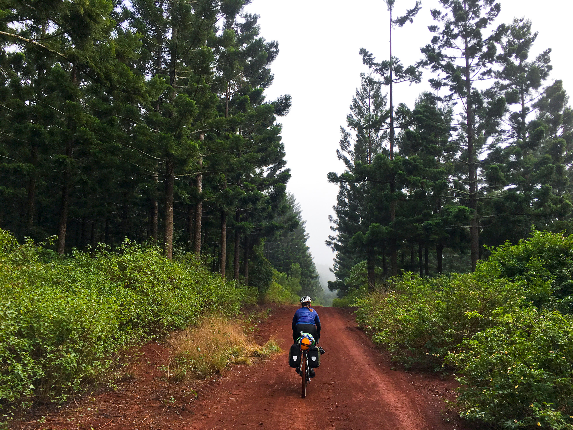
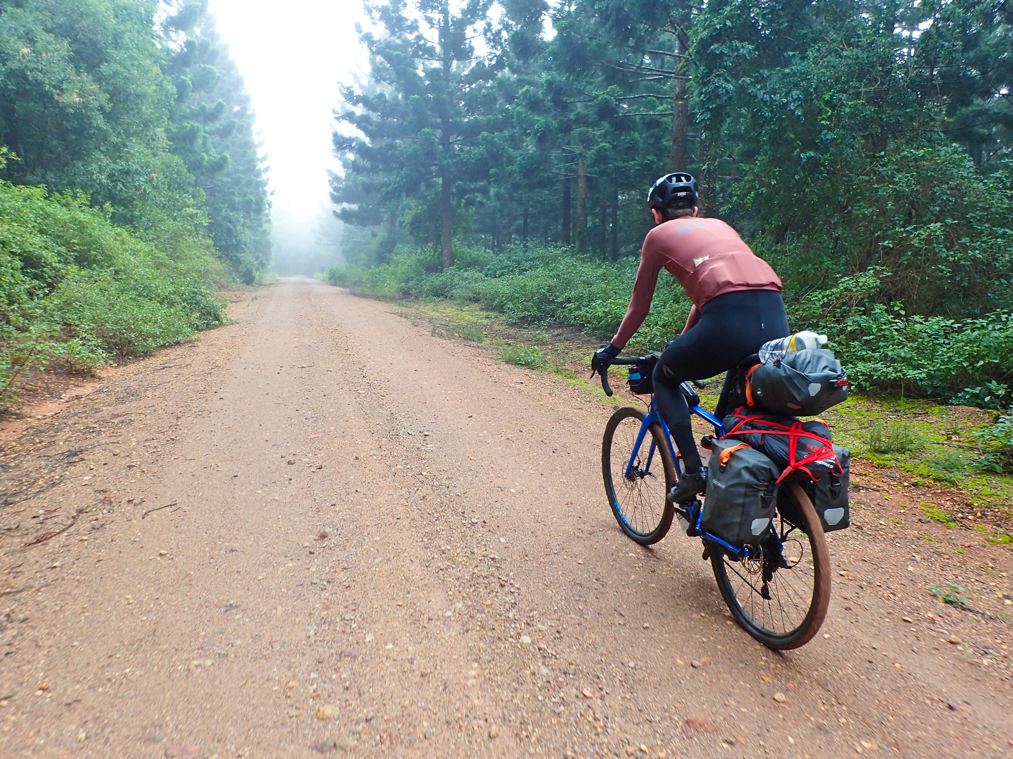
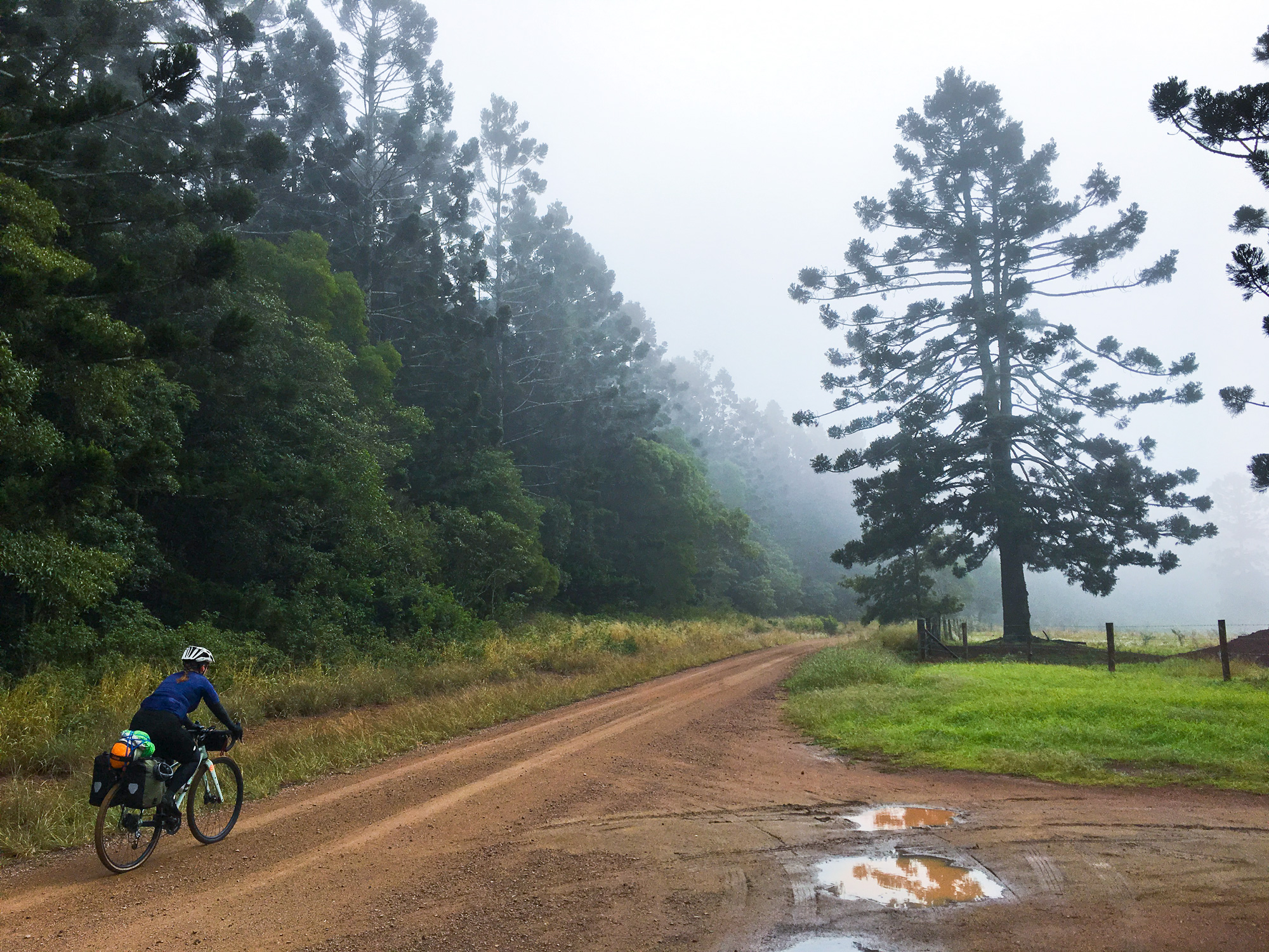
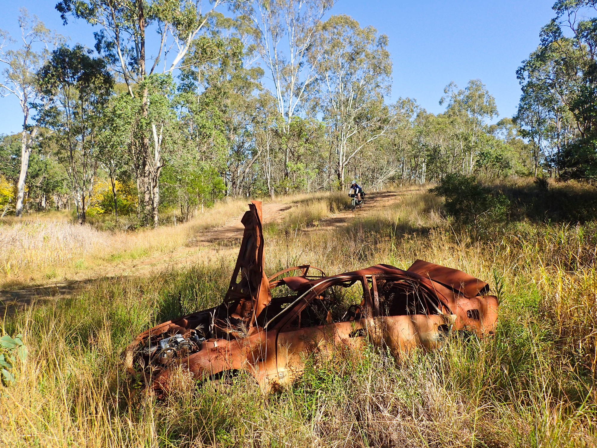
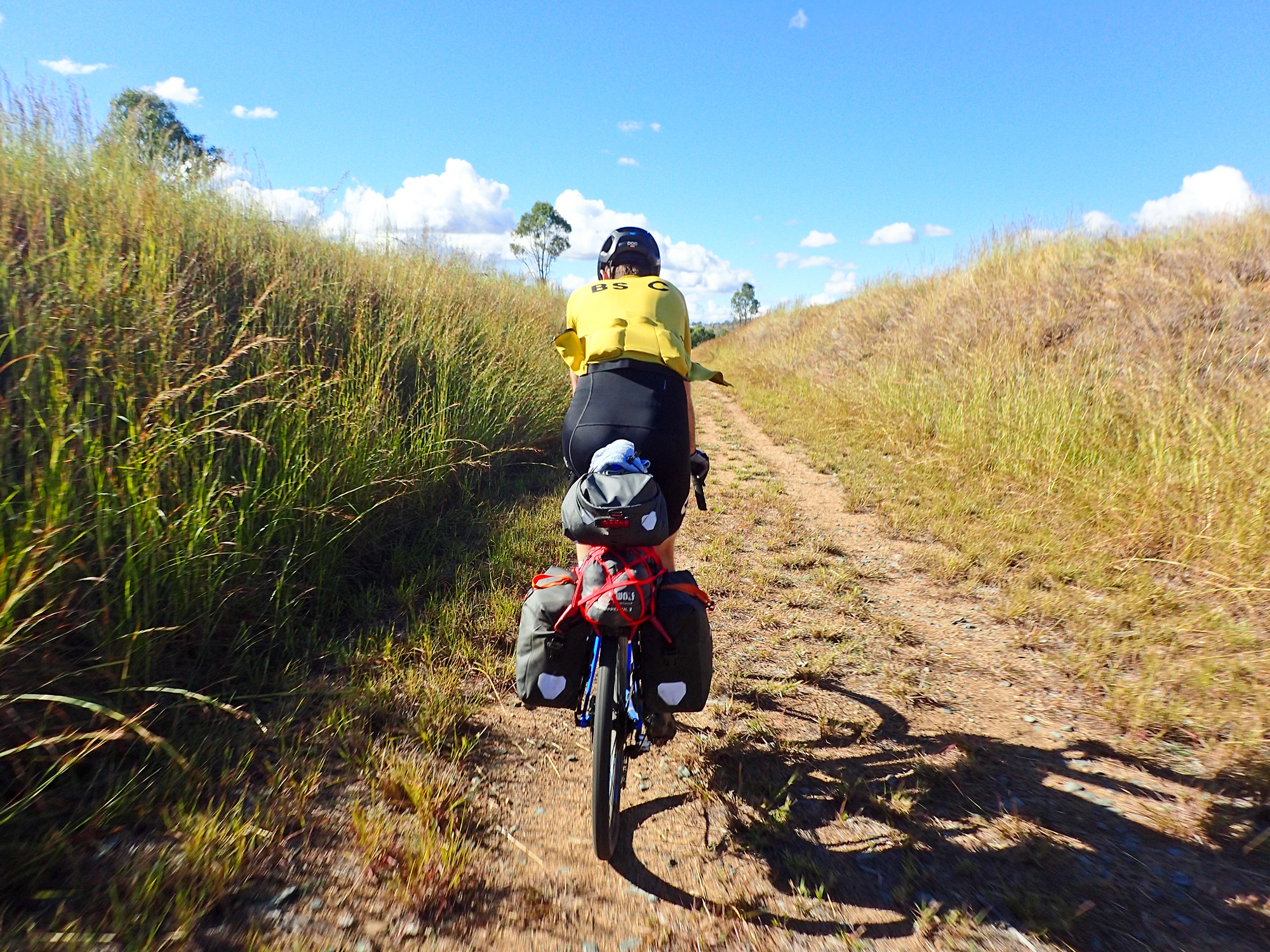
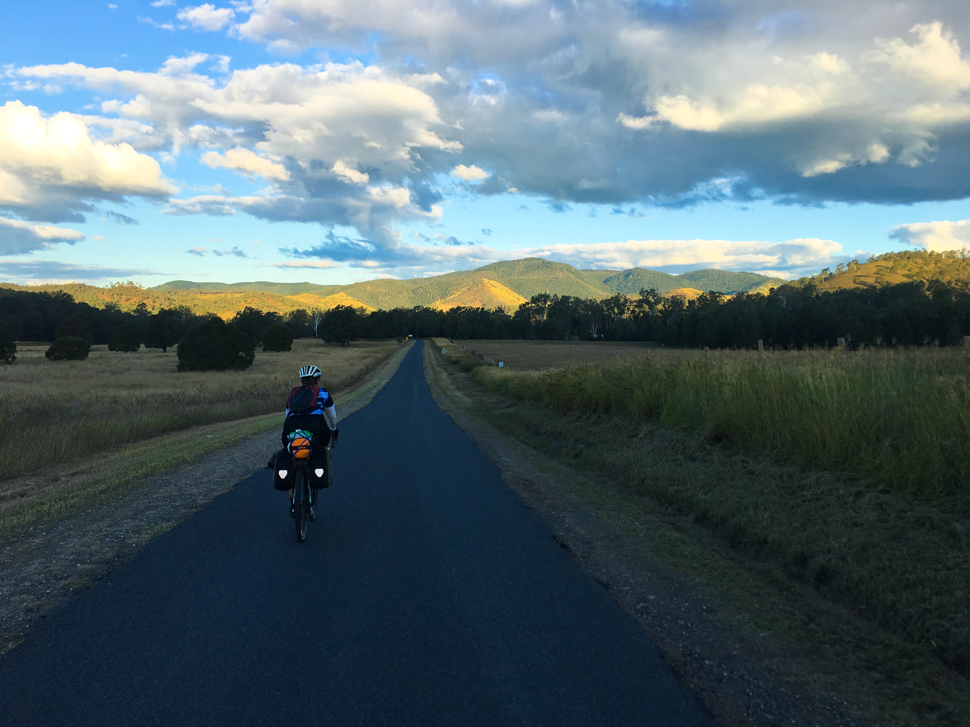
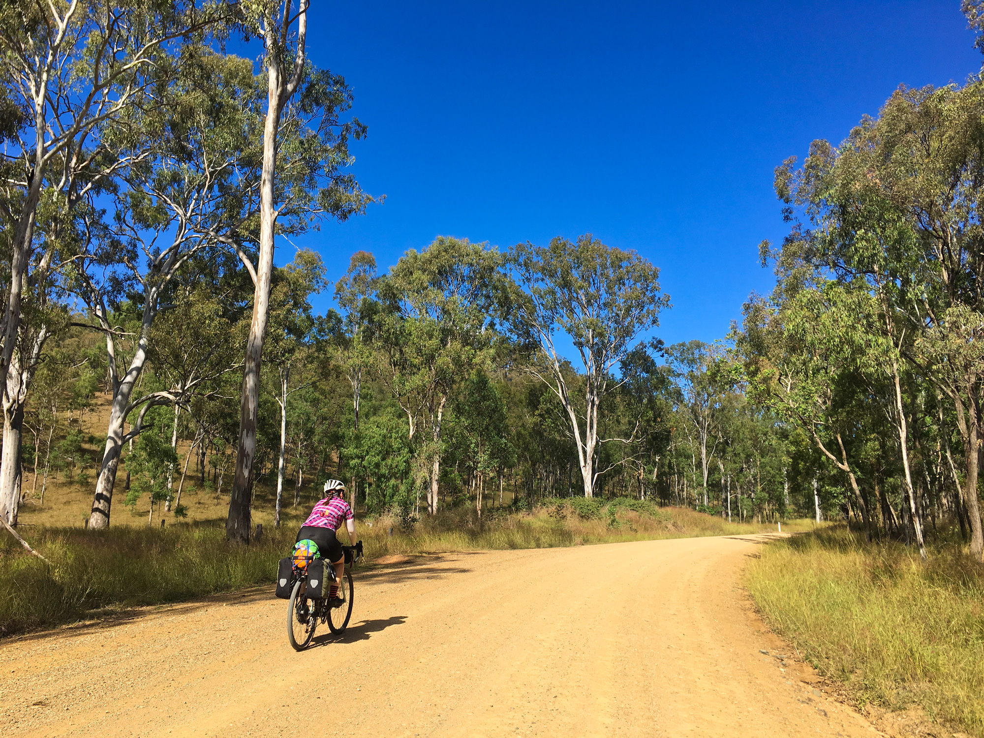
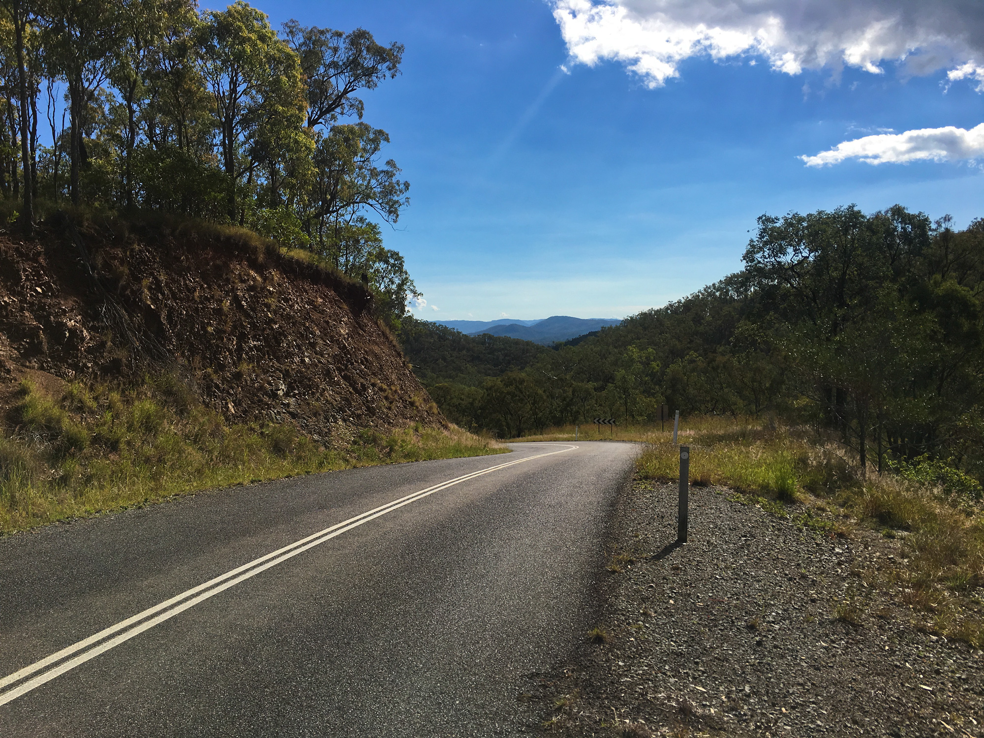
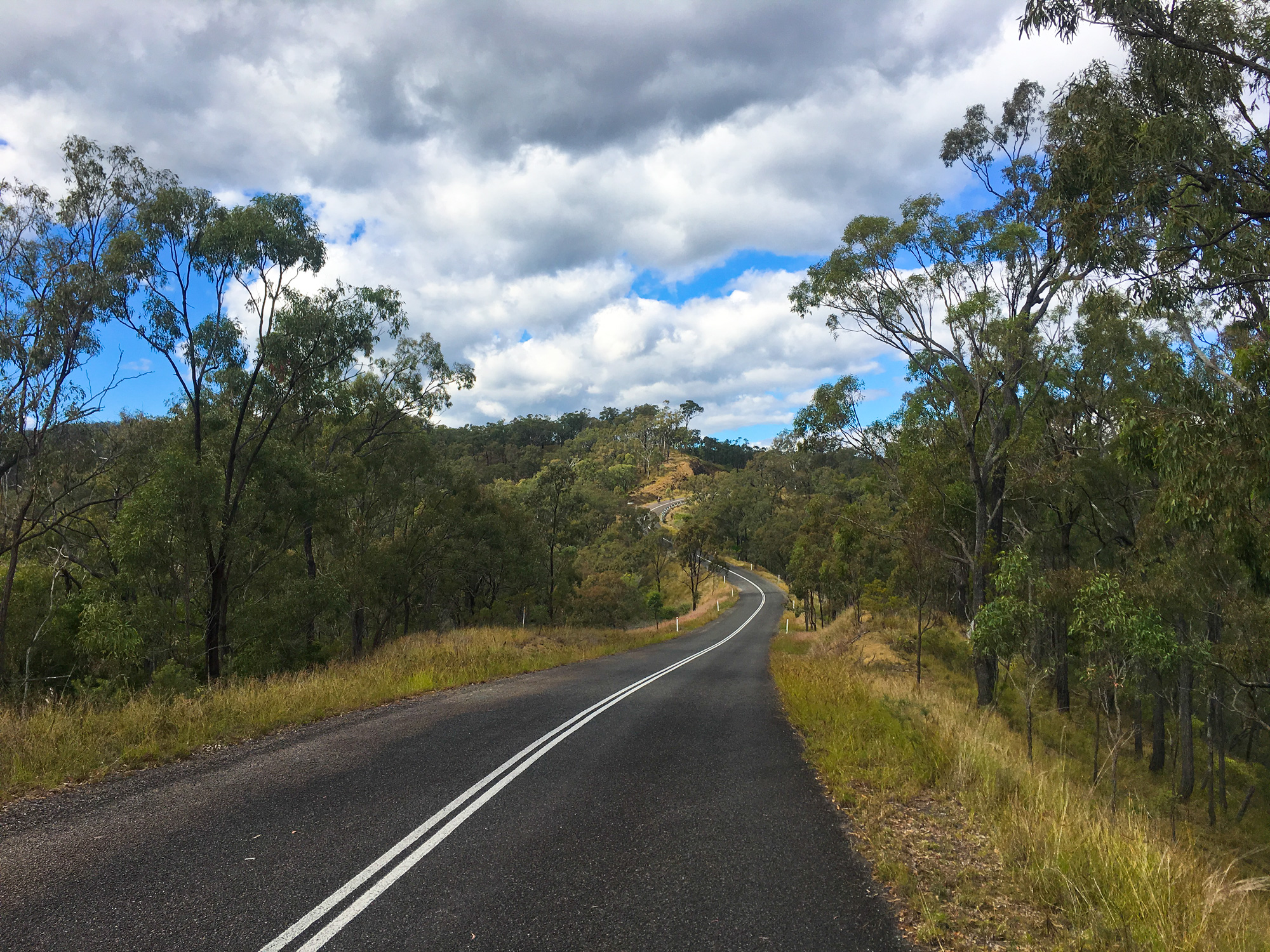
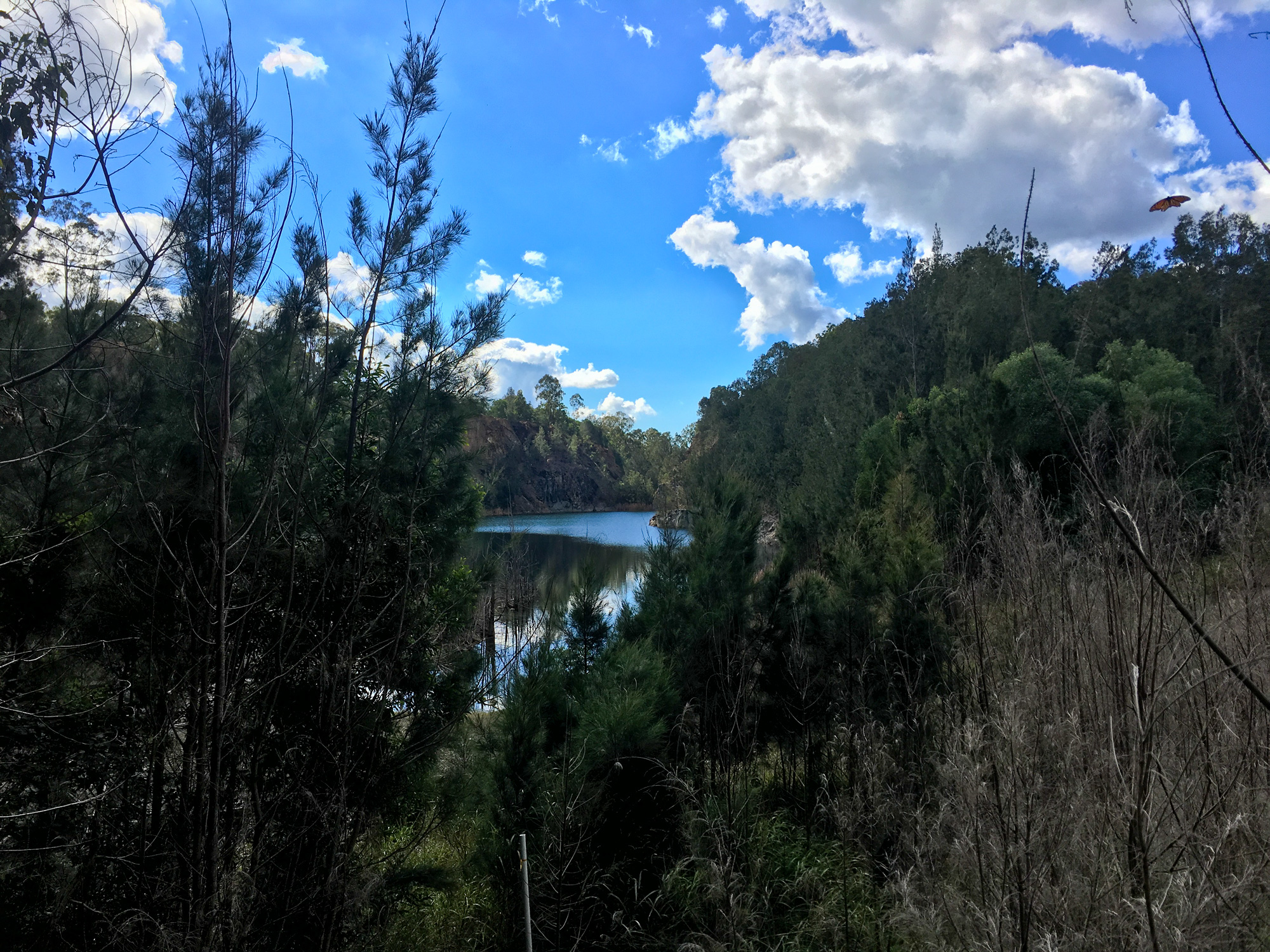
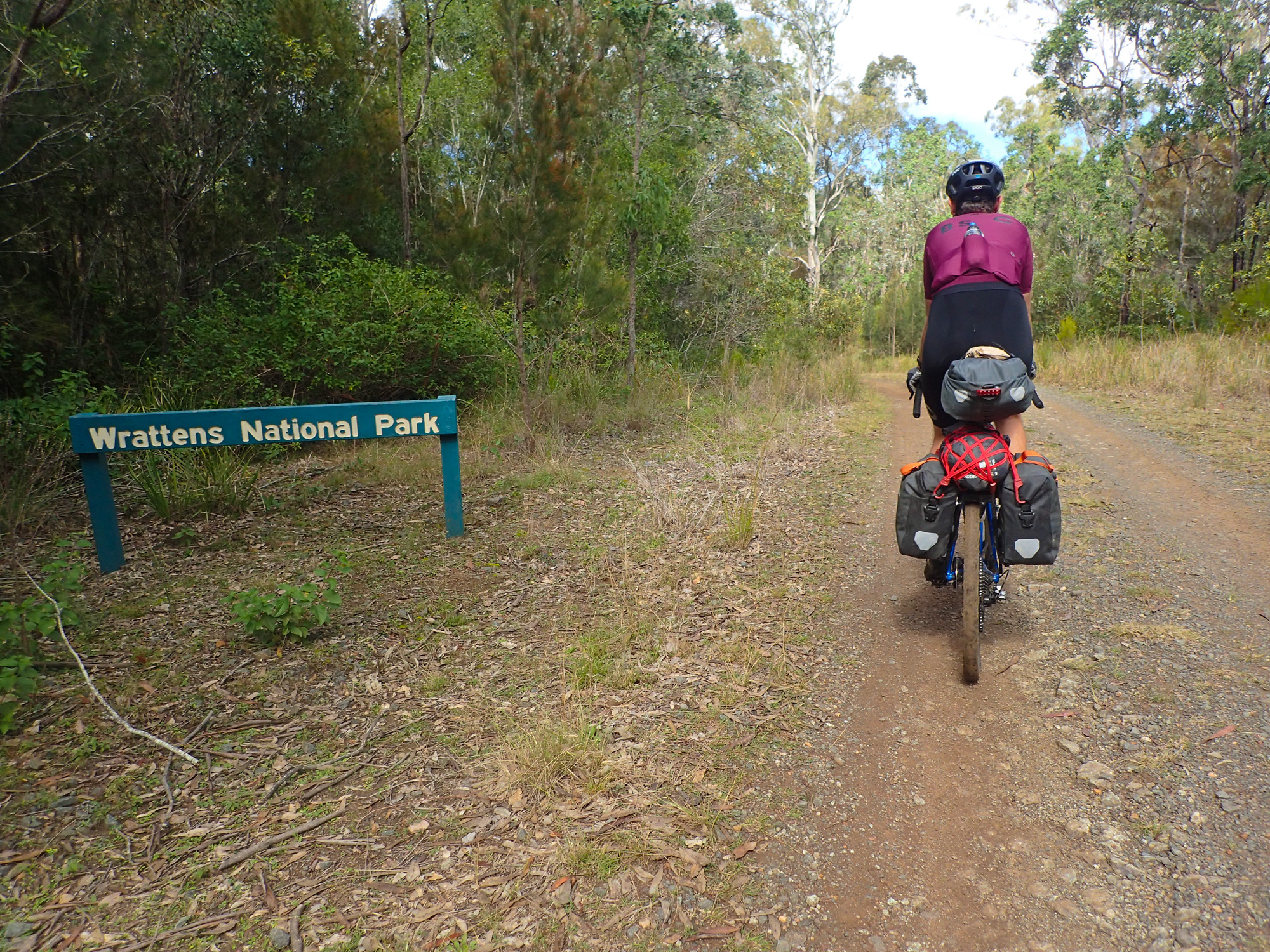
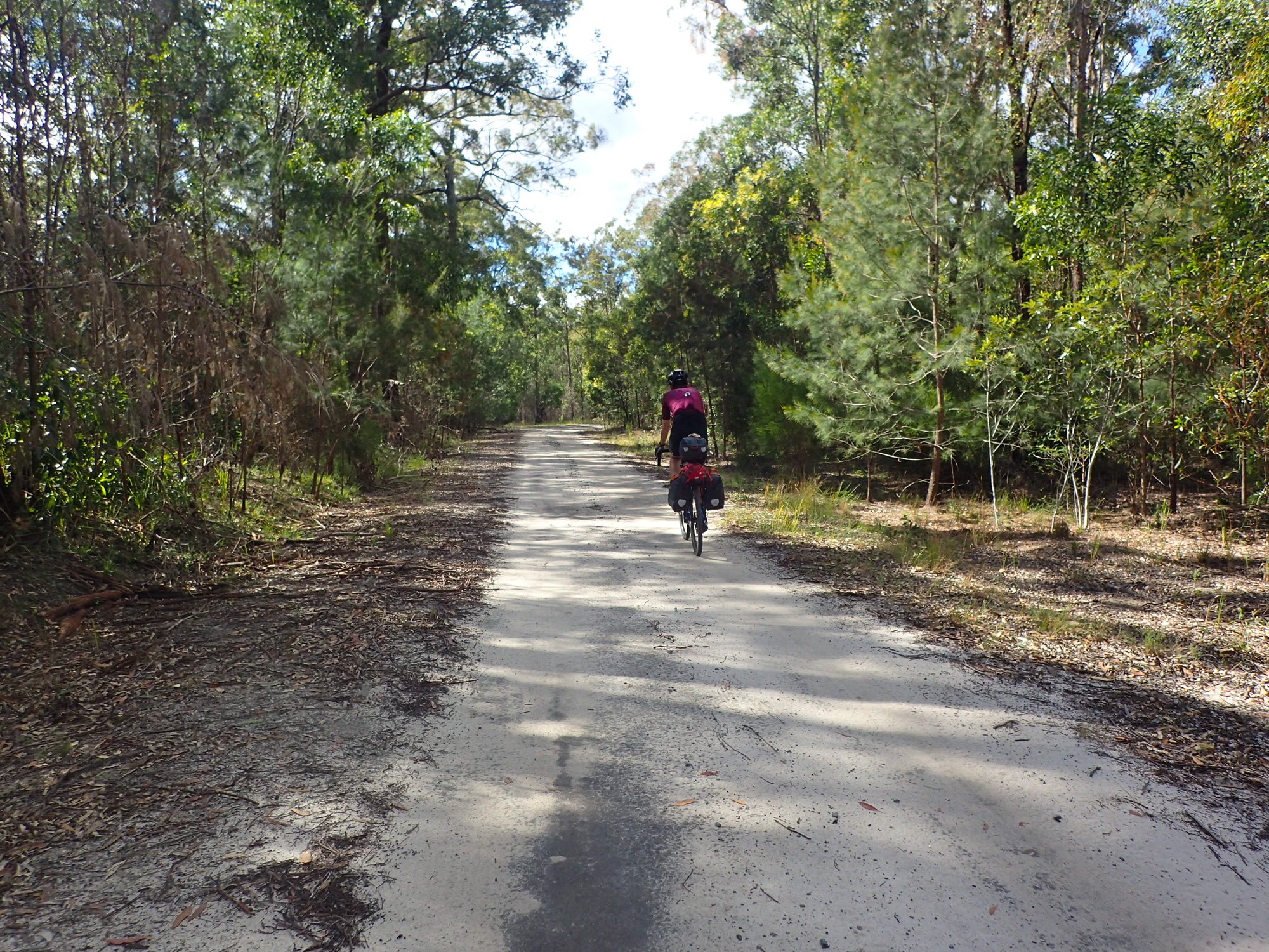
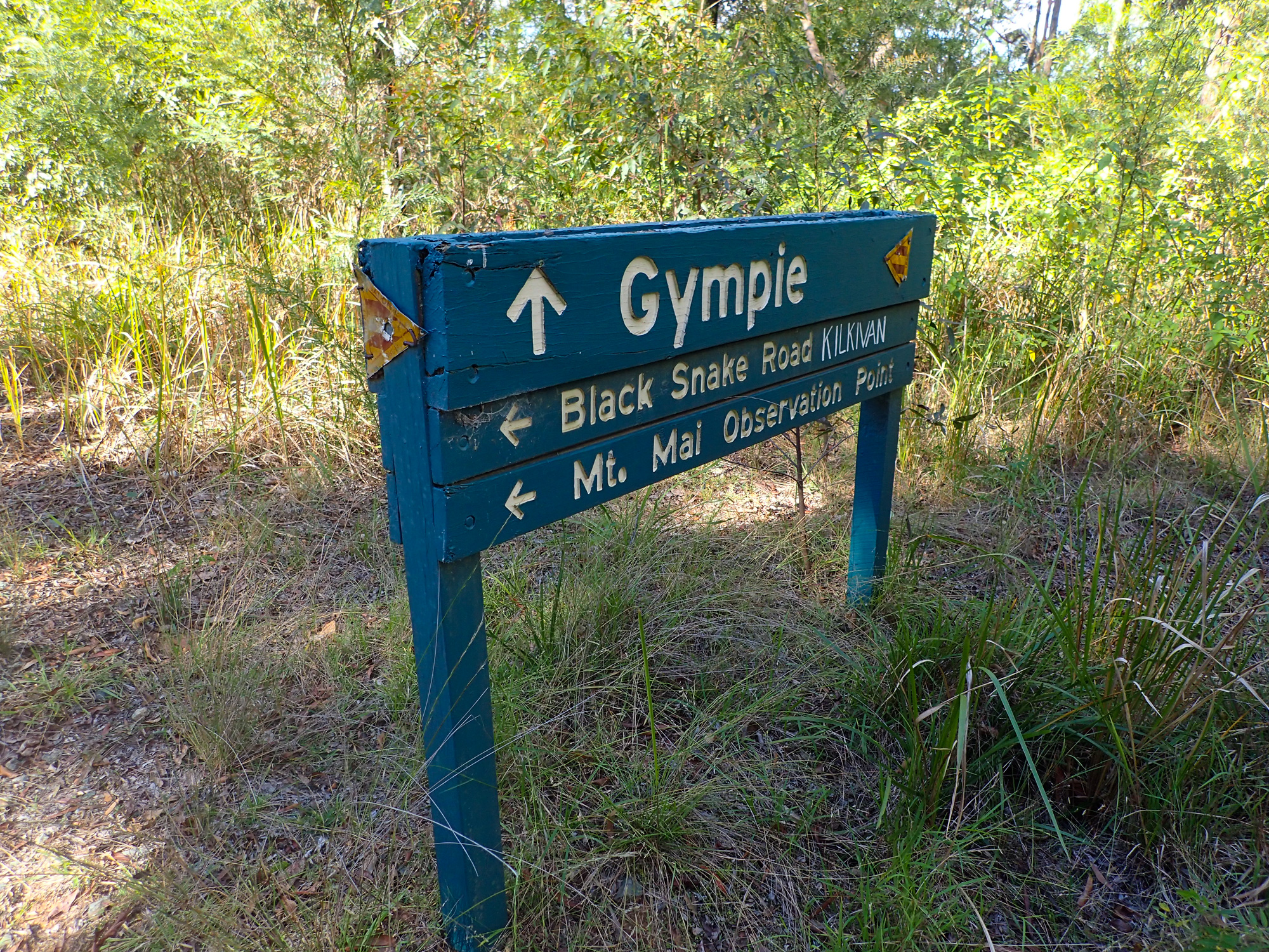
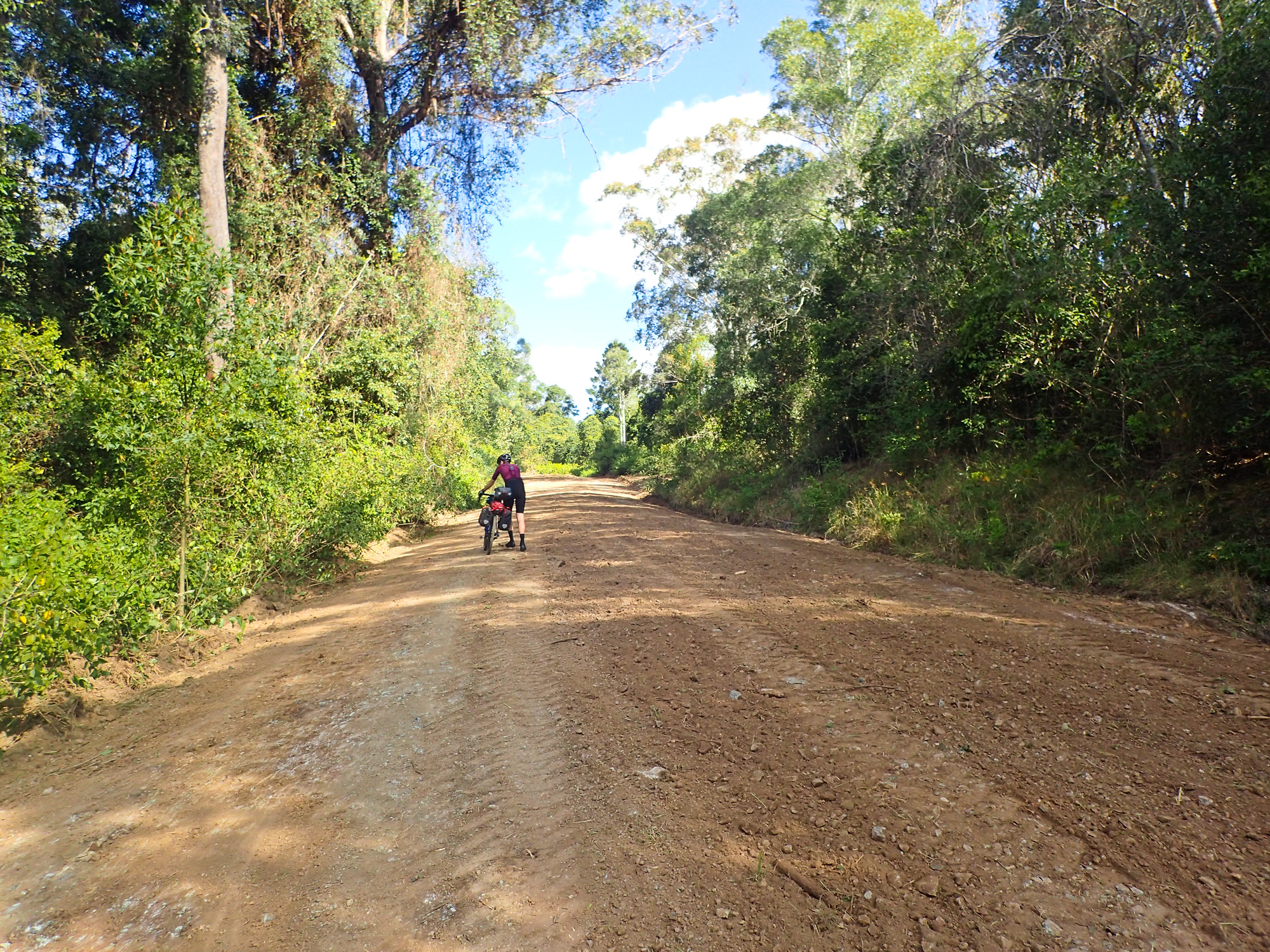
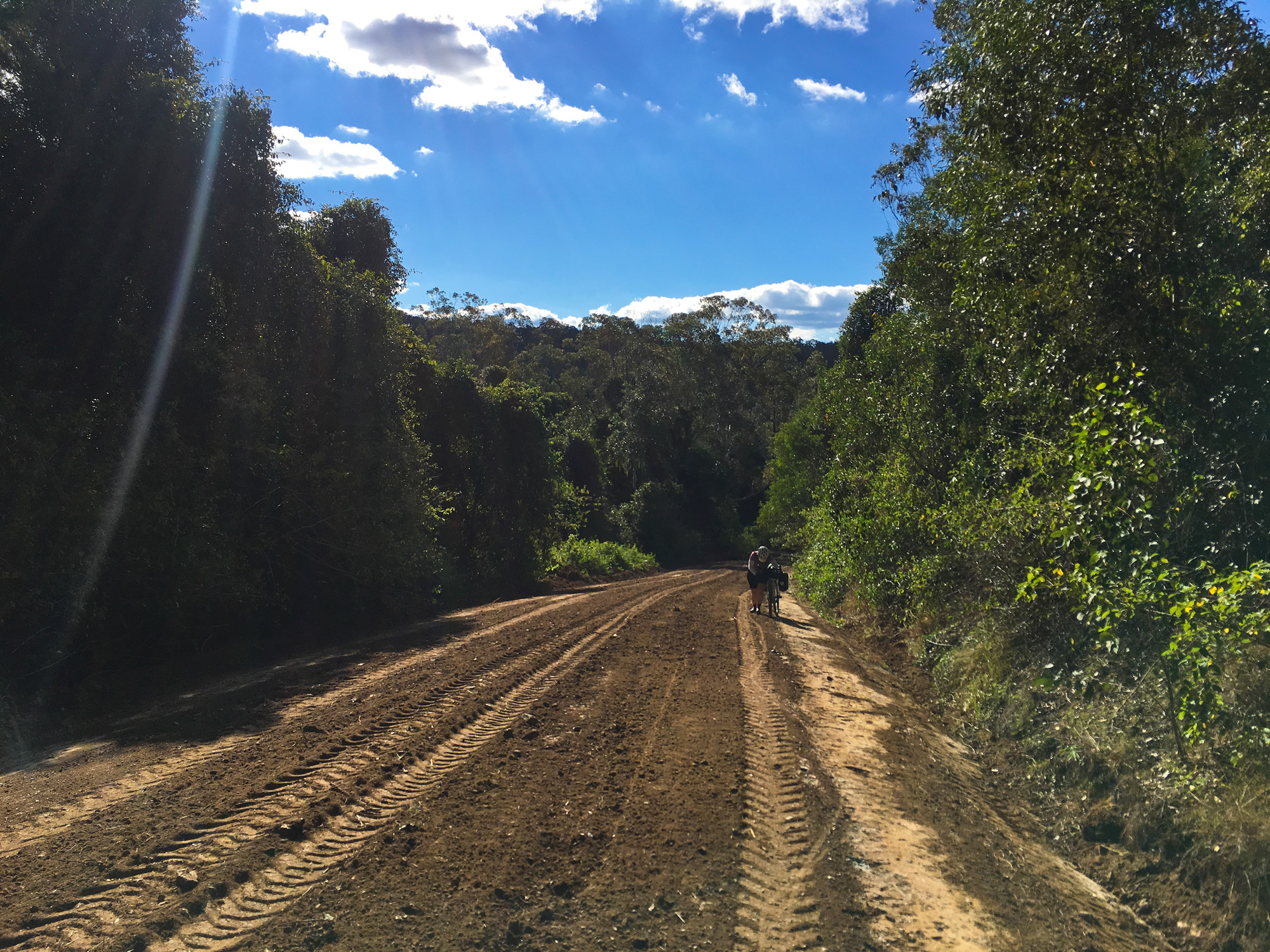
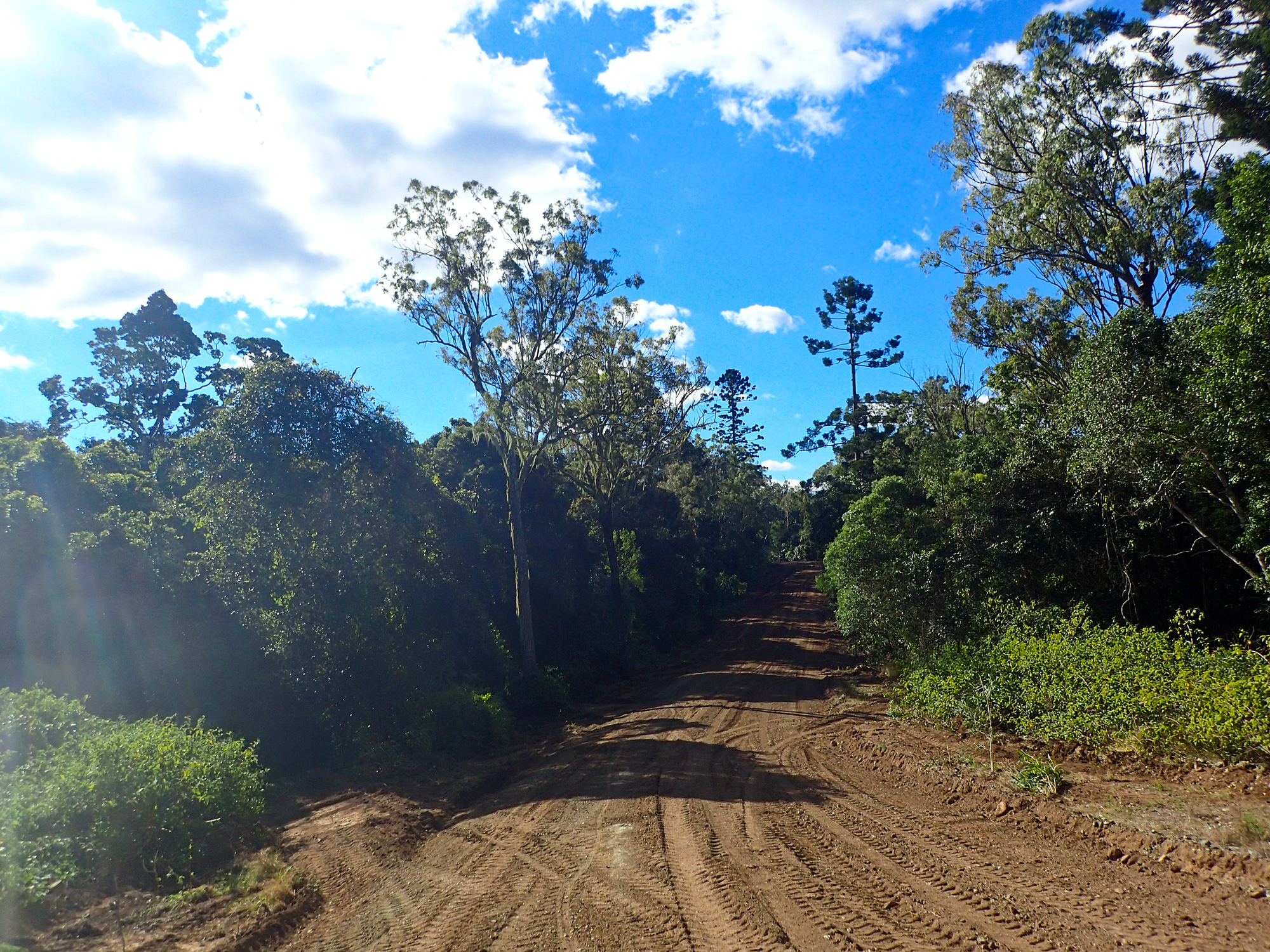
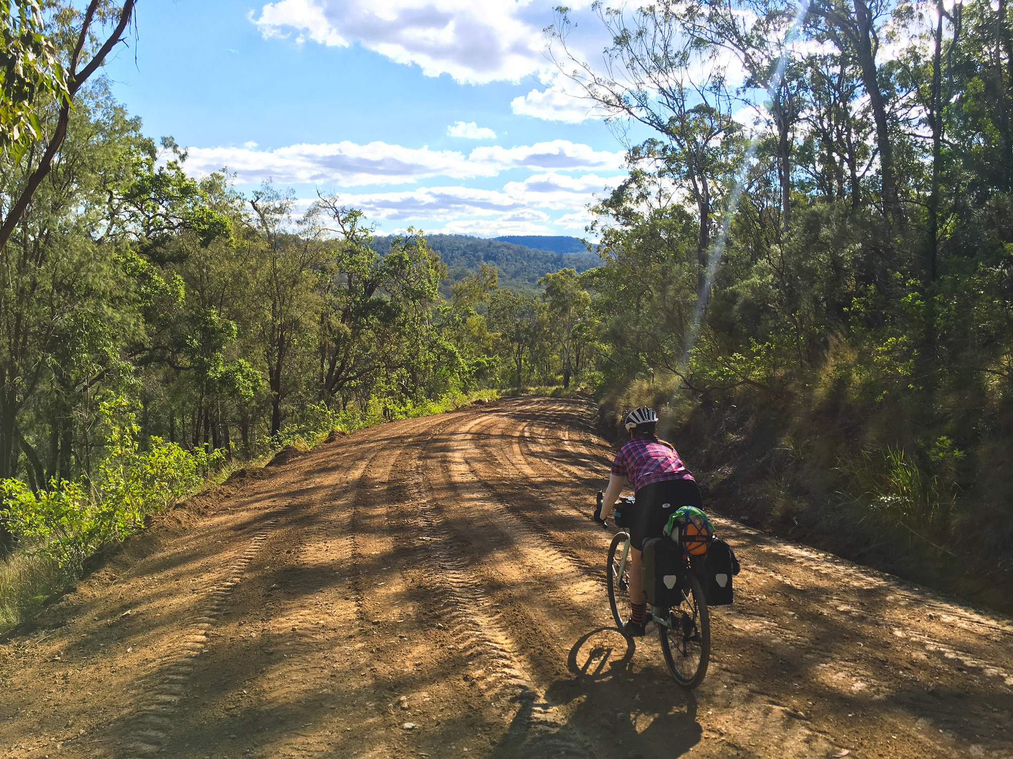
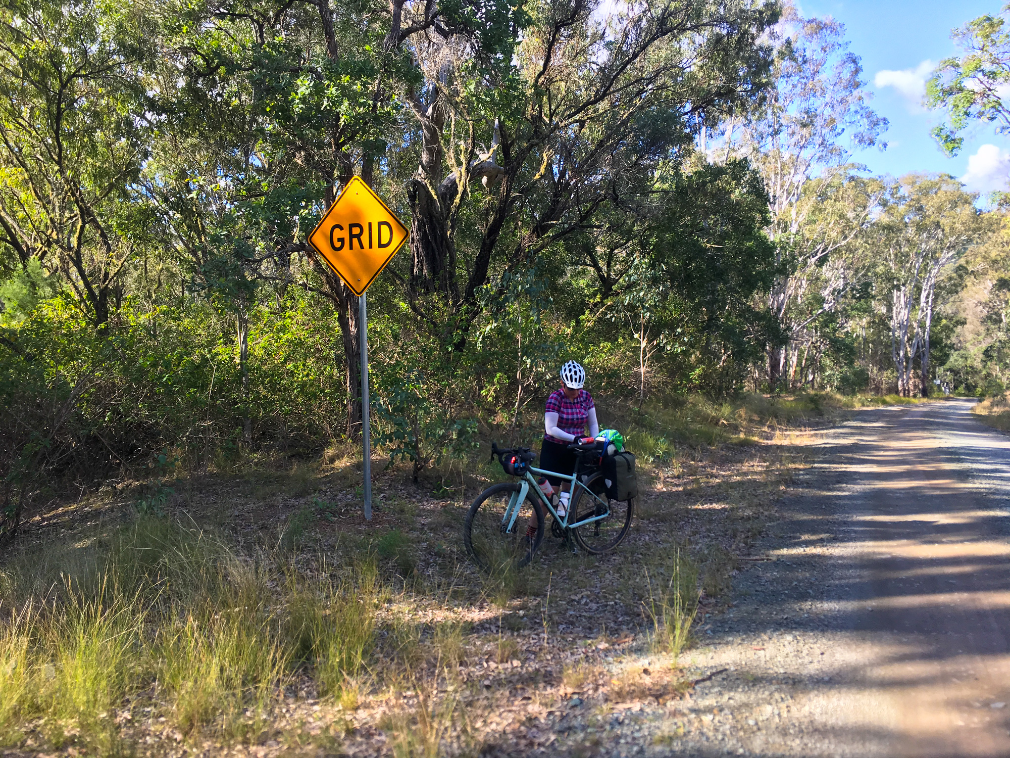
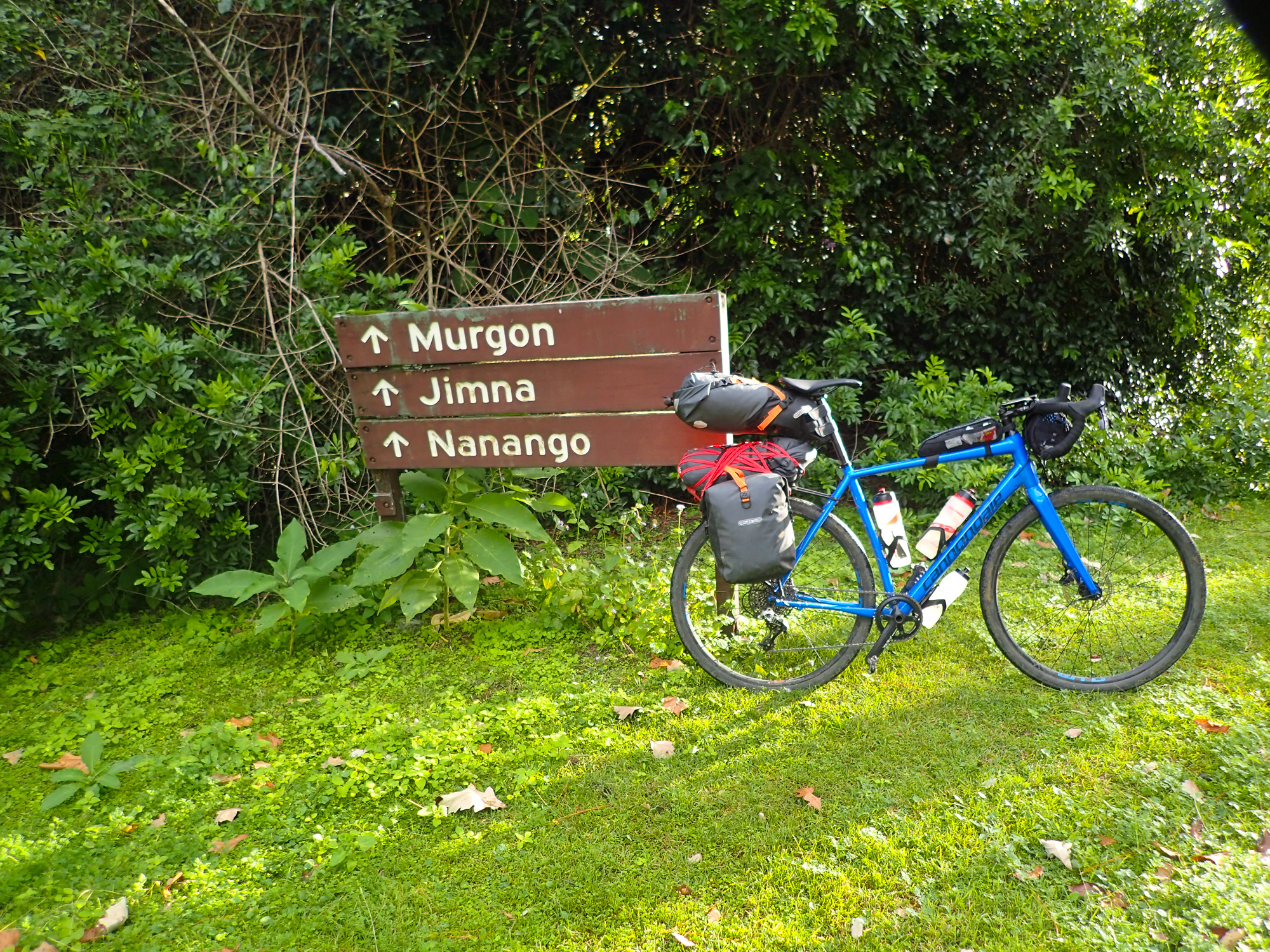
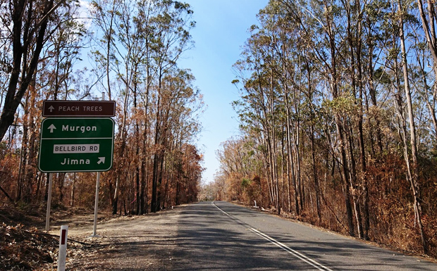
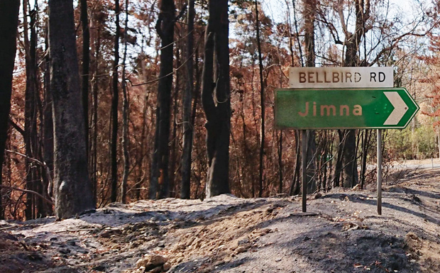
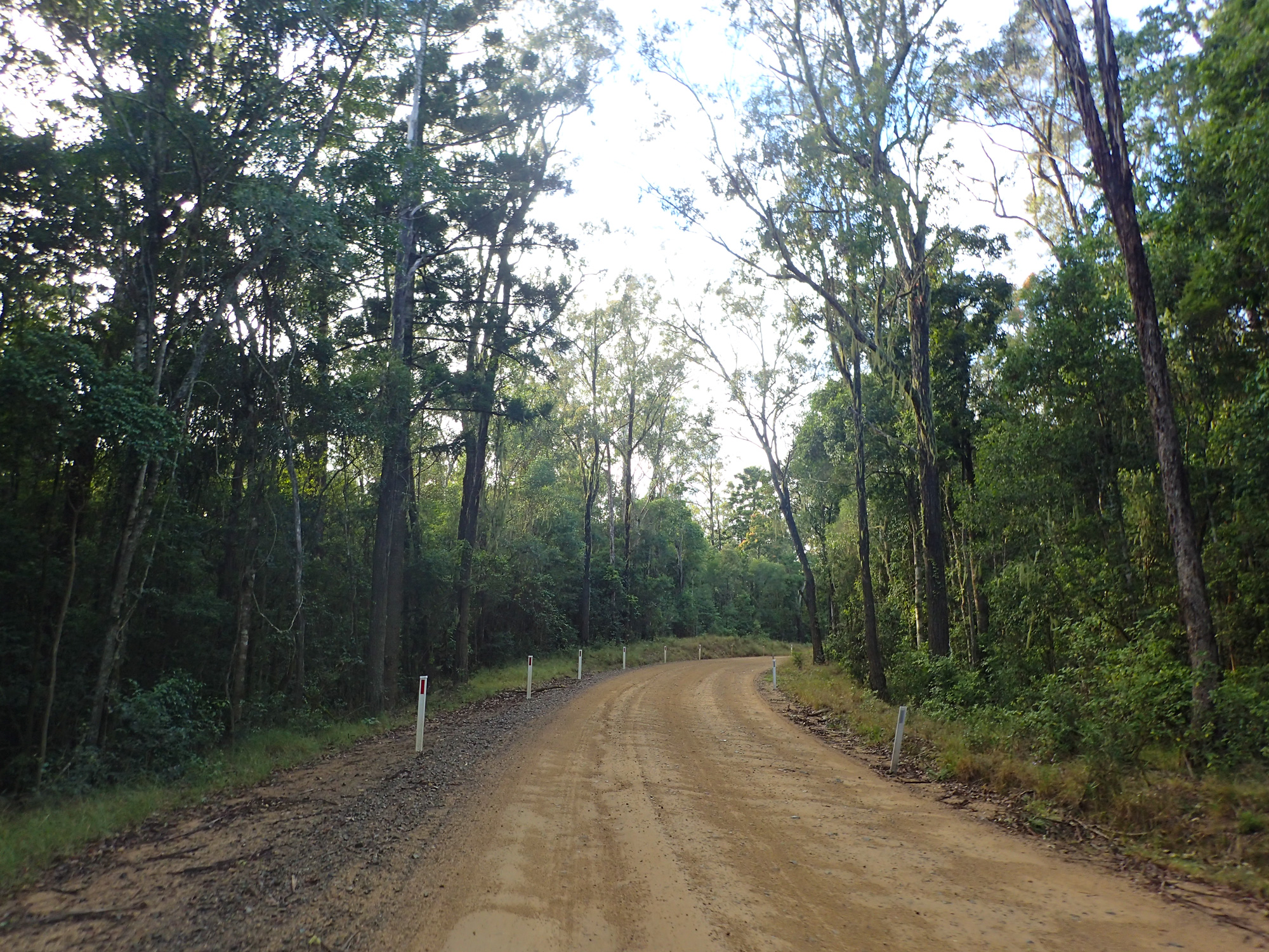
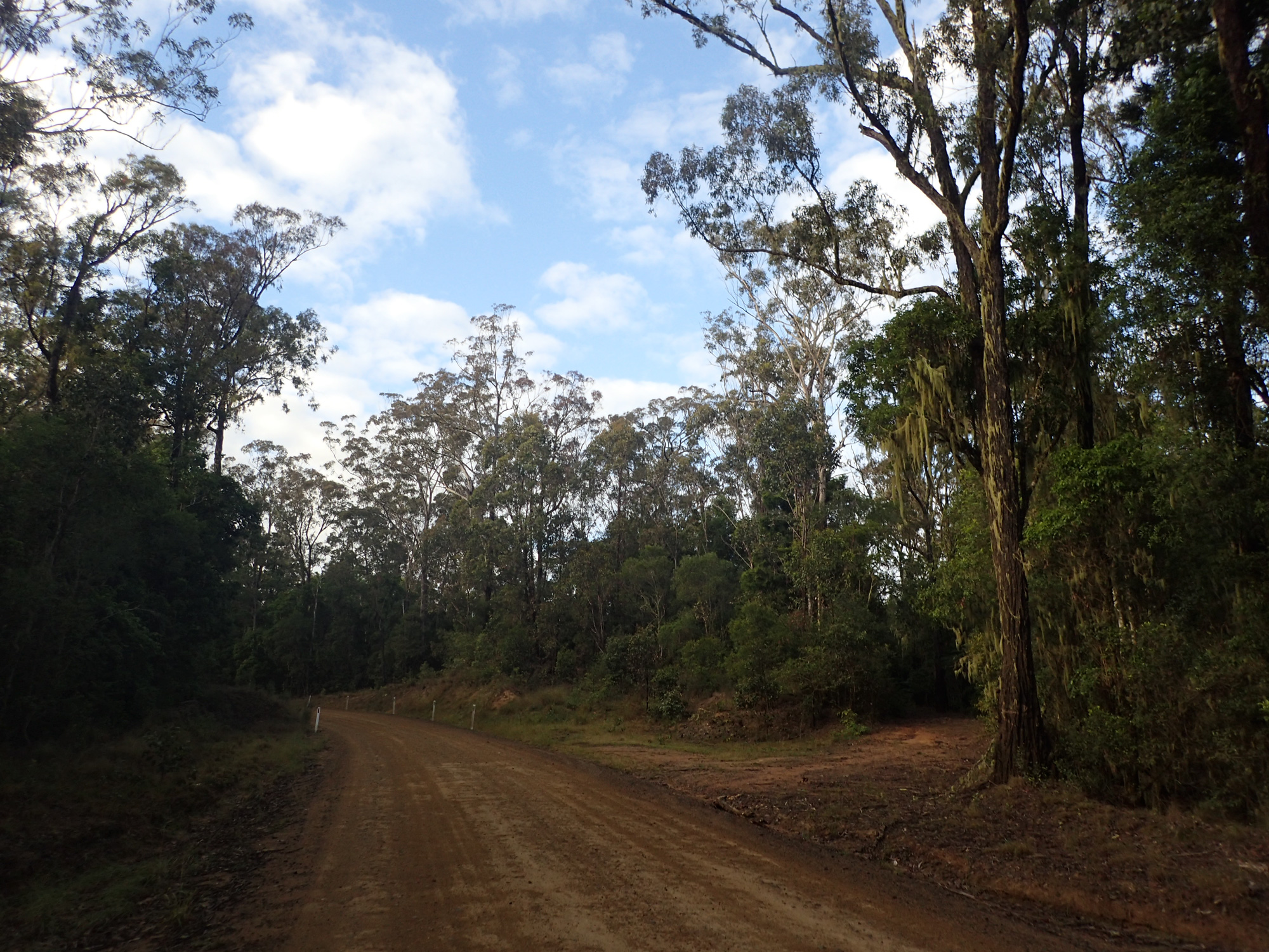
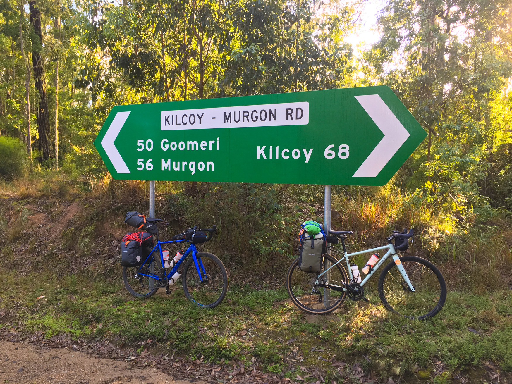
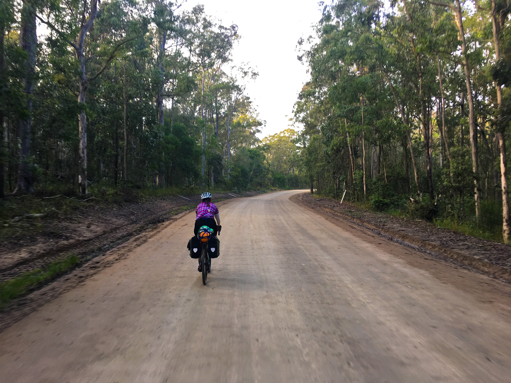
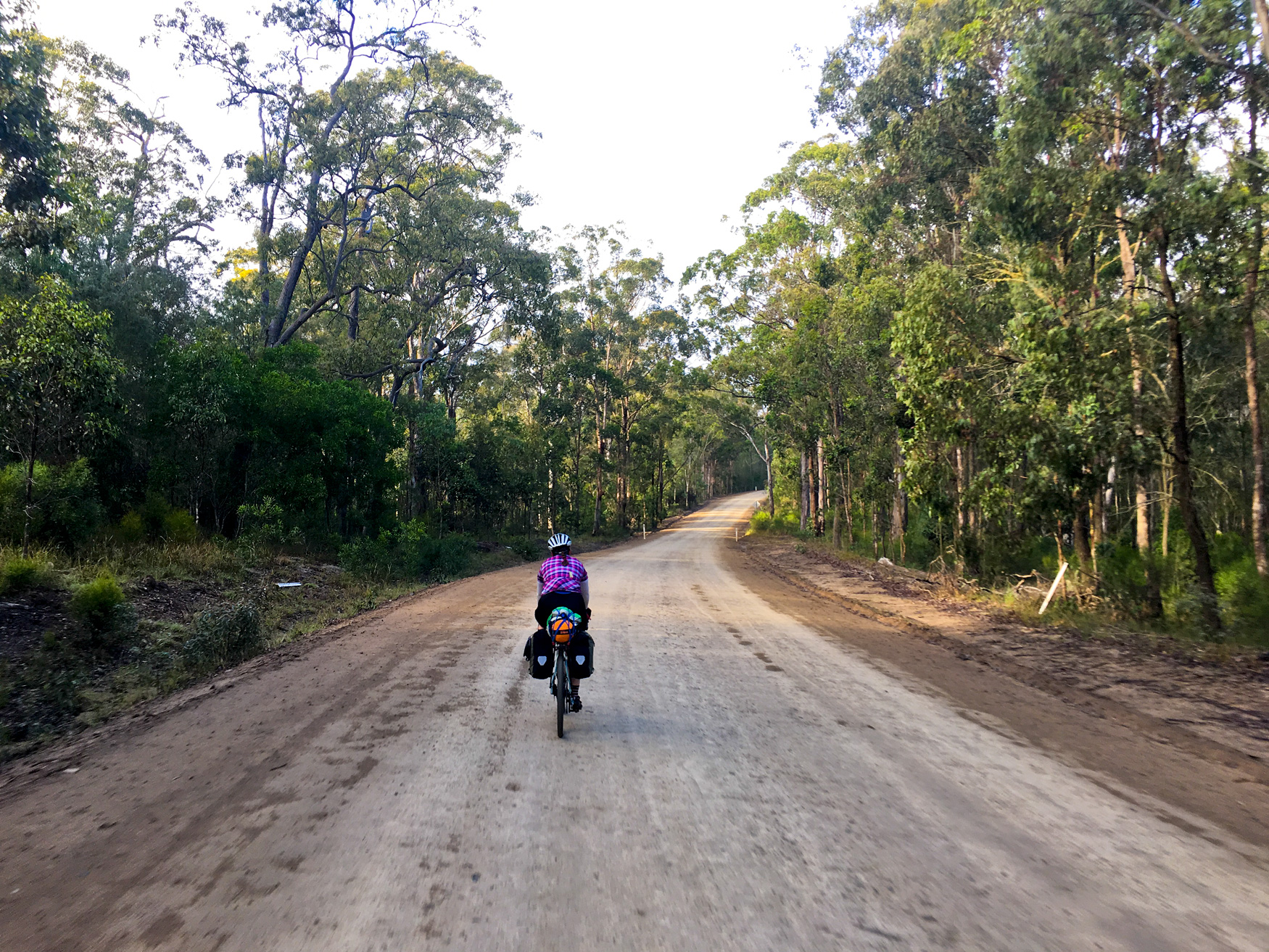
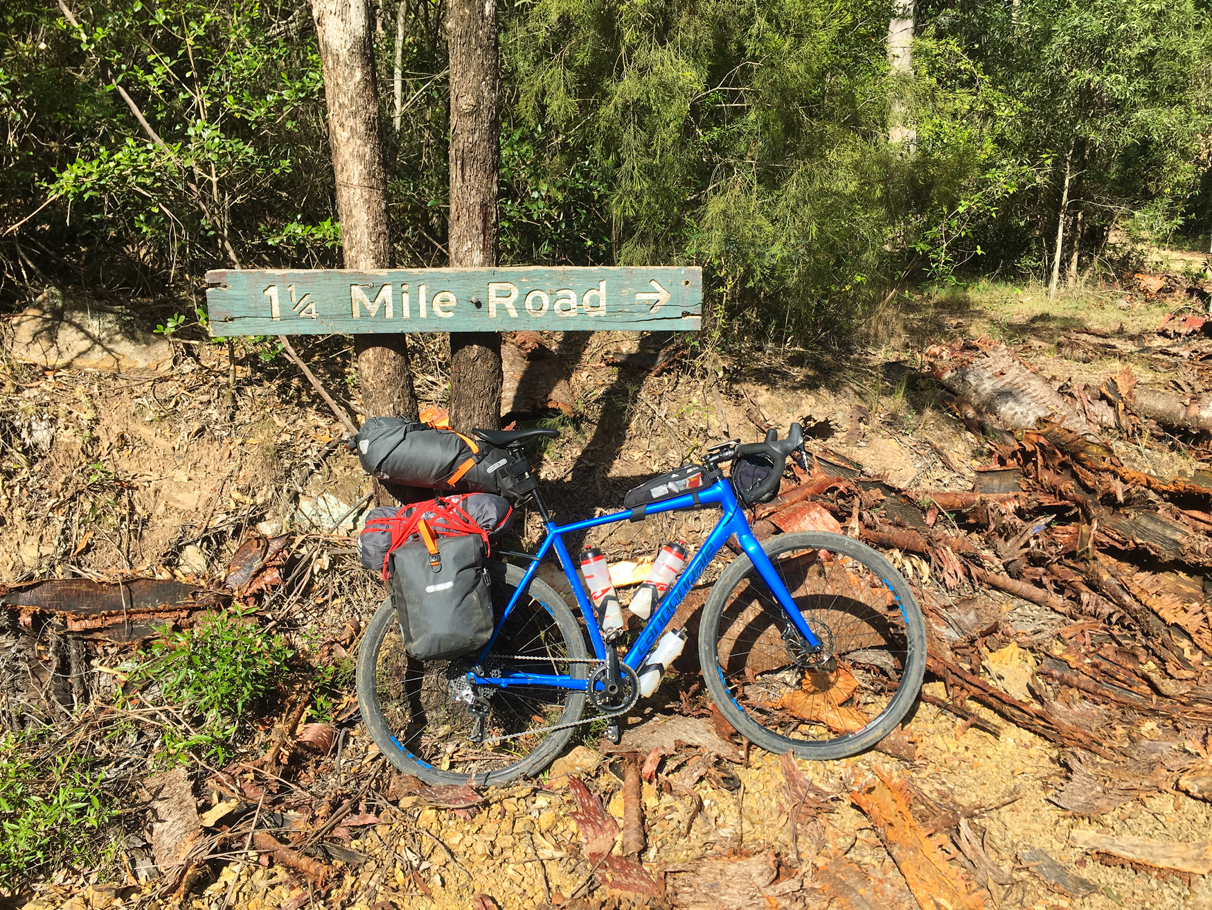
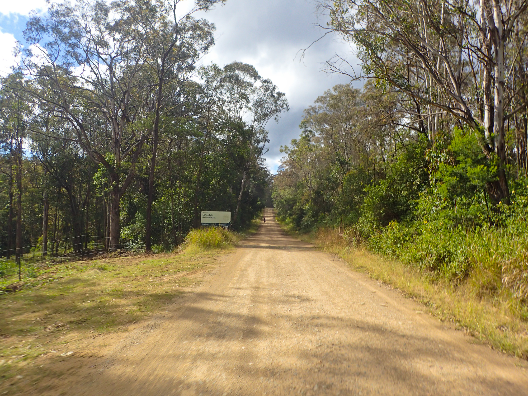
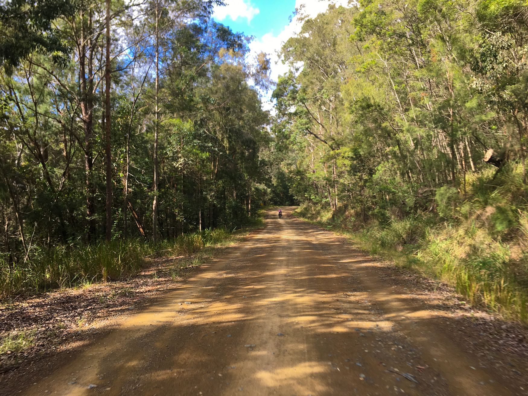
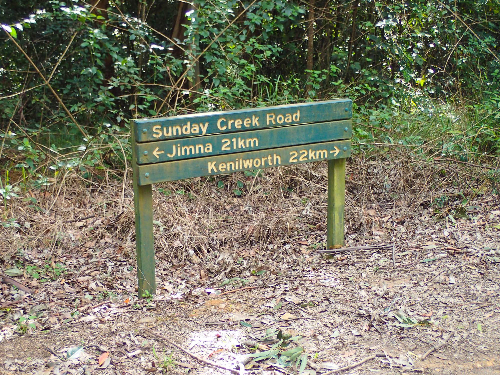
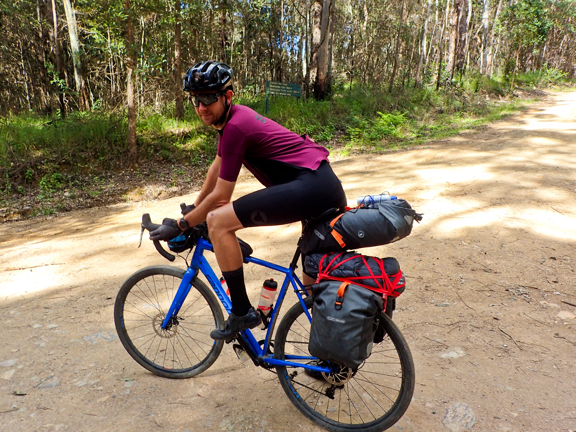
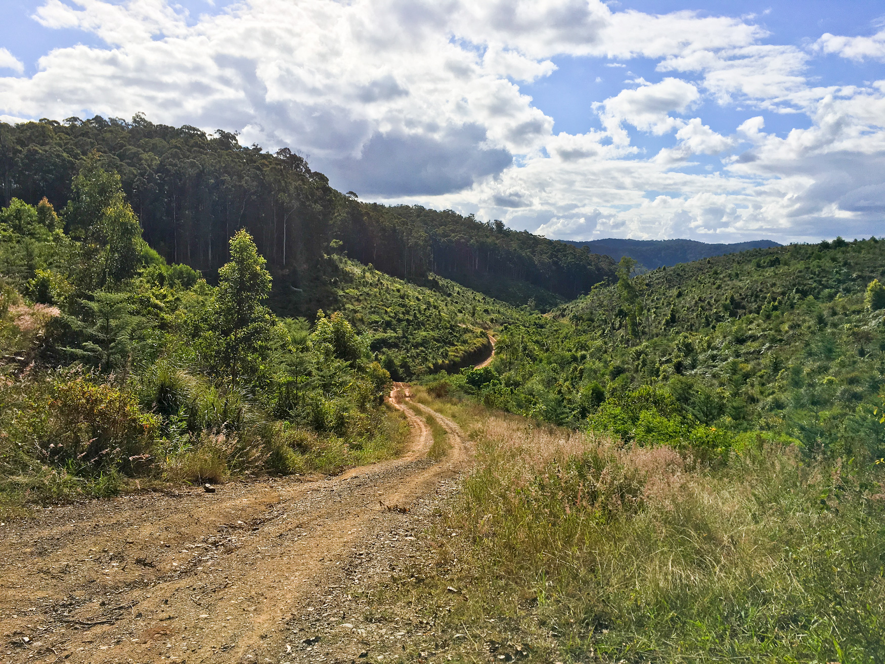
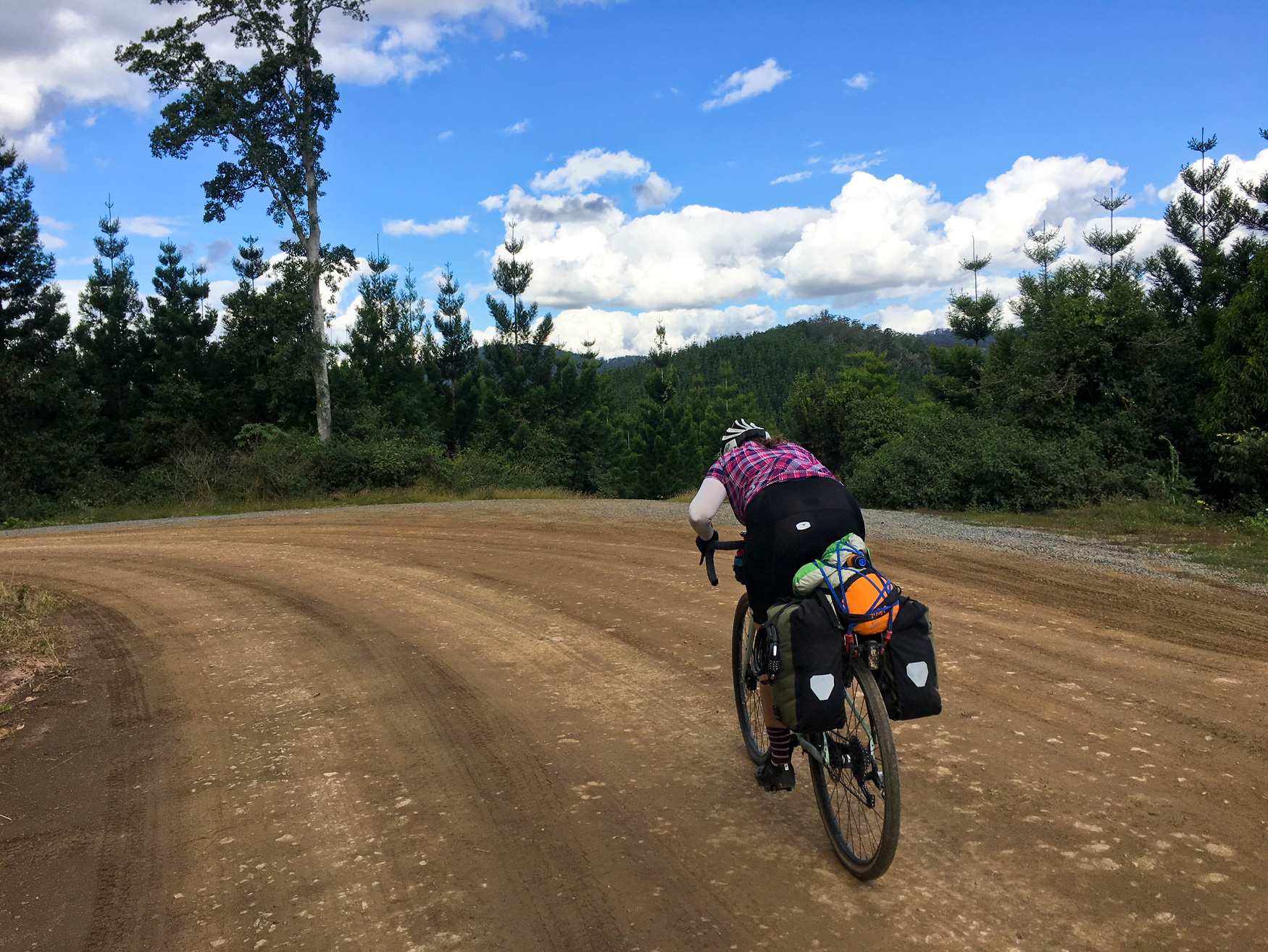
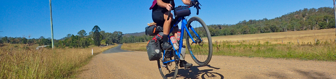
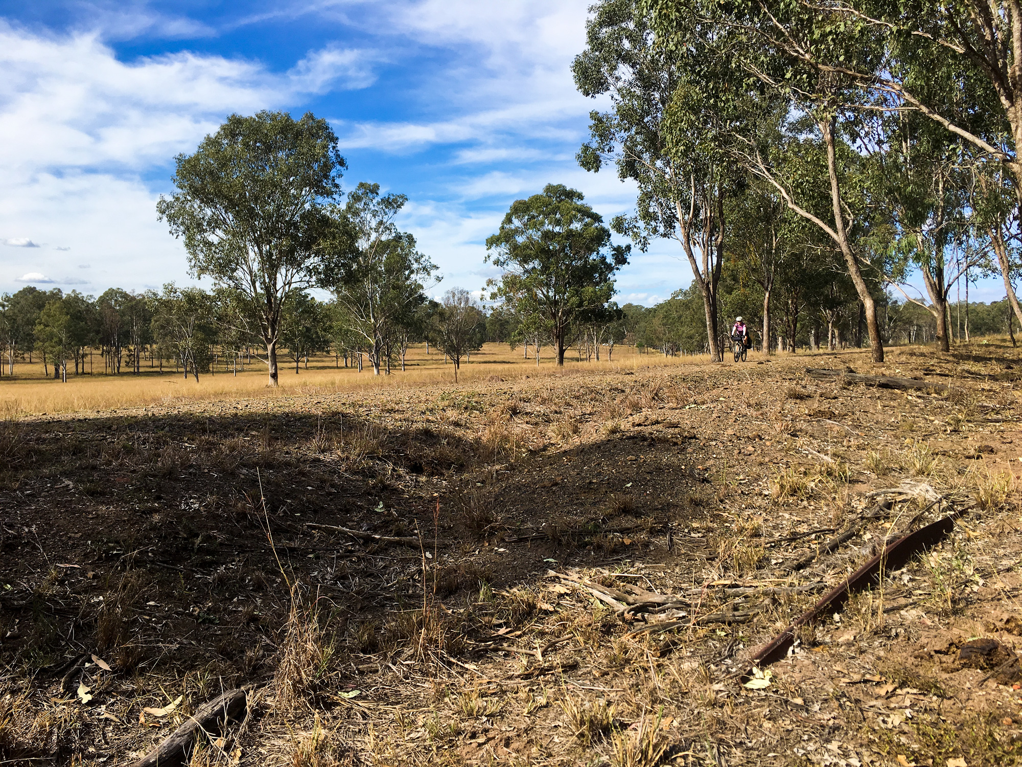
As we were travelling along dirt roads through multiple state forests we lost all track of time and where we were in relation to Jimna as there was no landmarks to gauge references because of the to the thick forest scrub. Jimna always seemed to be “Just around the corner”. But once the gravel road turned to tarmac that’s when we knew Jimna was actually just around the corner…. which we passed very quickly as we made our way down the hill to Sunday Creek road. This section of road was where all the elevation, steep climbs and steep descents were hiding. And that was confirmed a couple hundred meters after the turn off when we came to a 20% wall that wasn’t the ideal for our loaded gravel bikes.
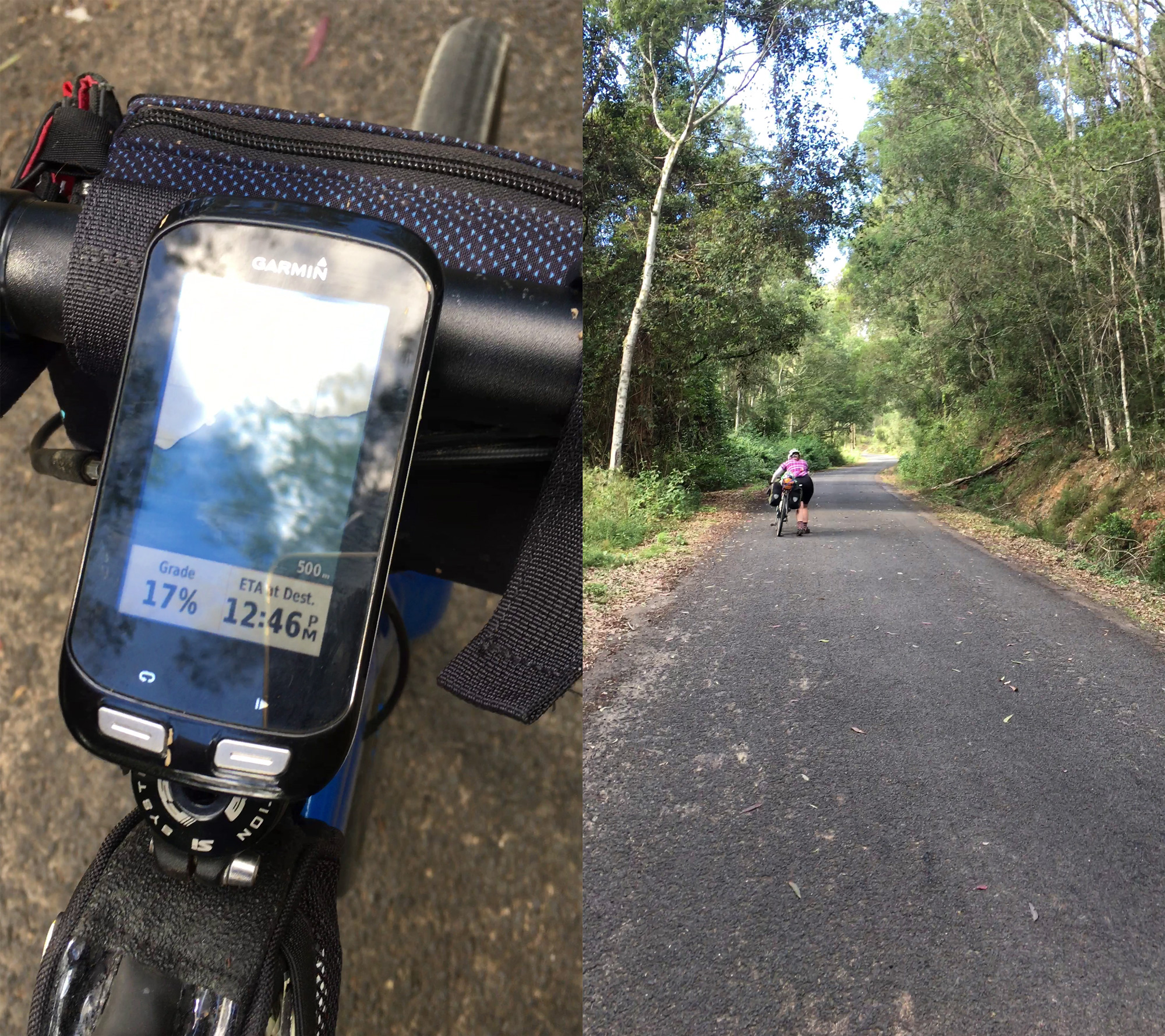
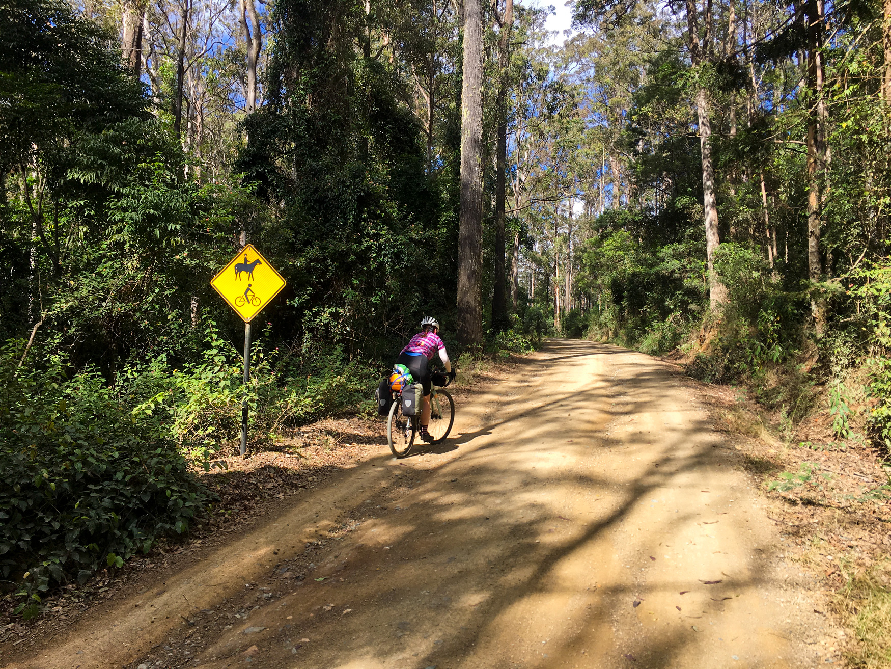
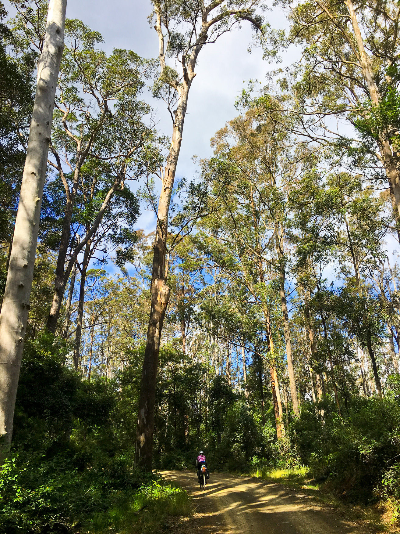
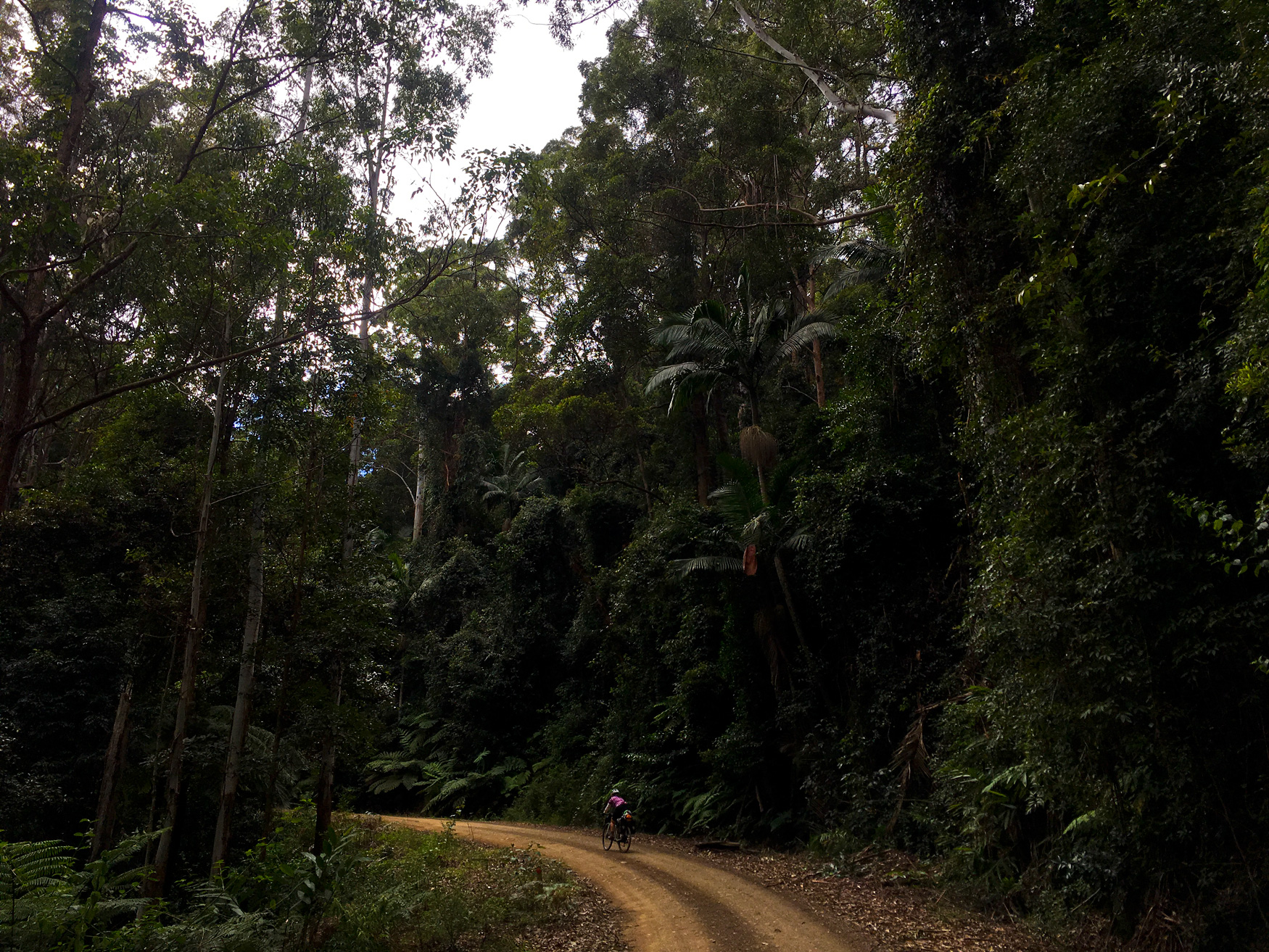
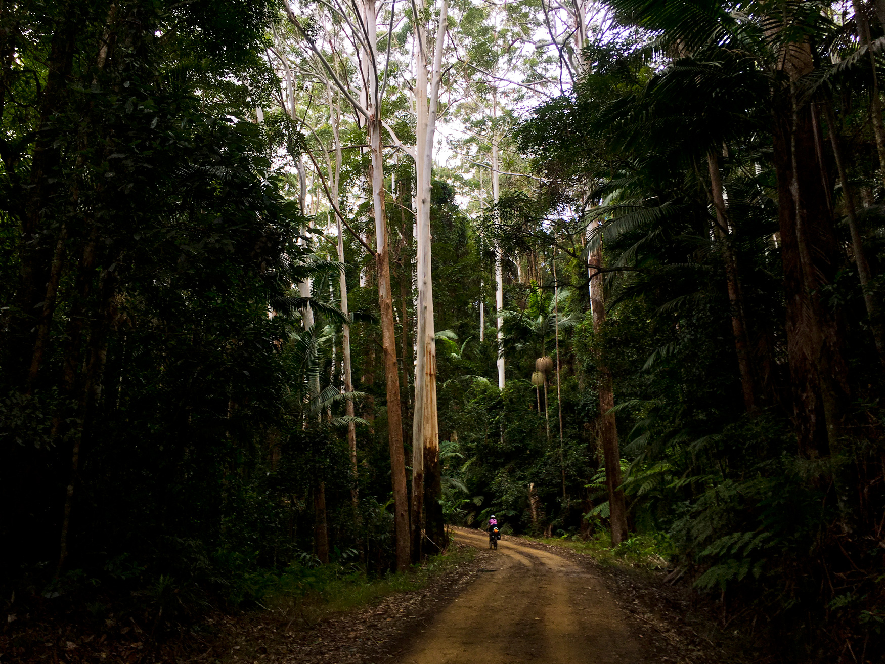
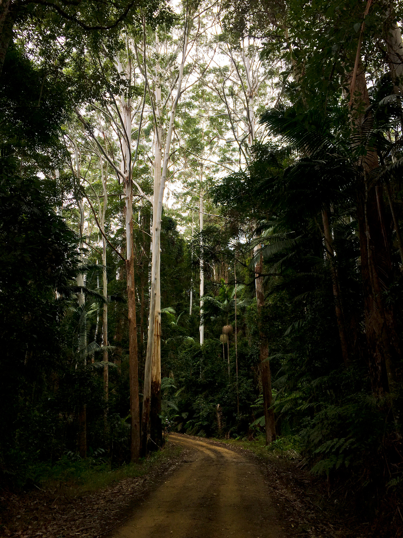
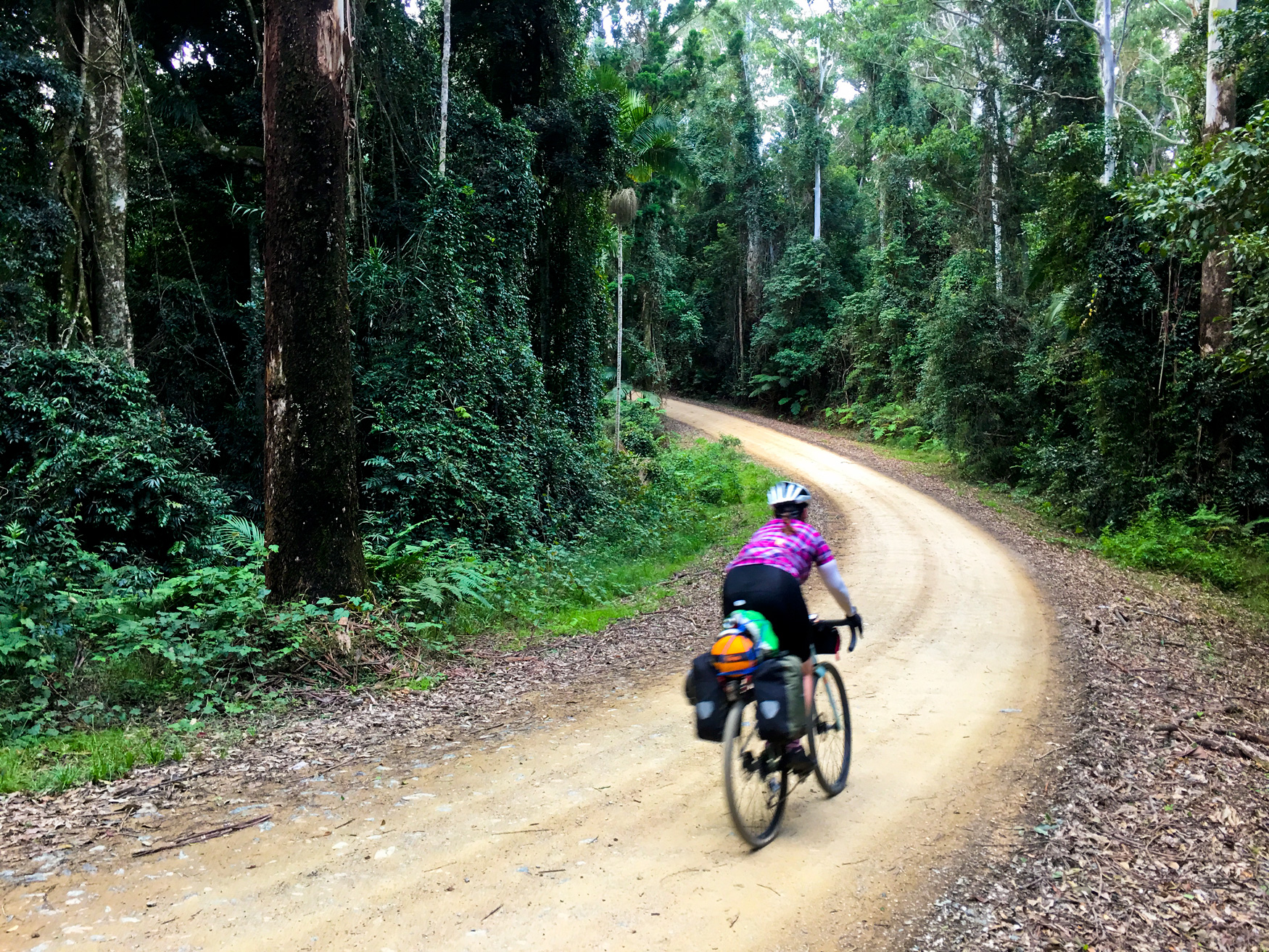
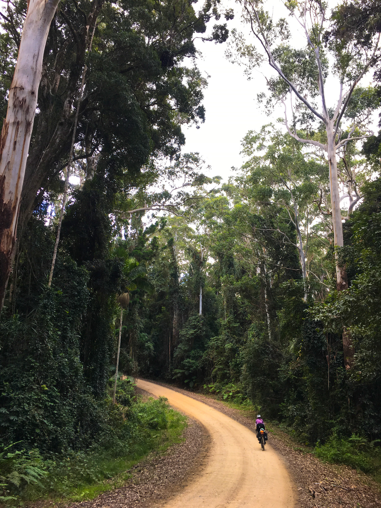
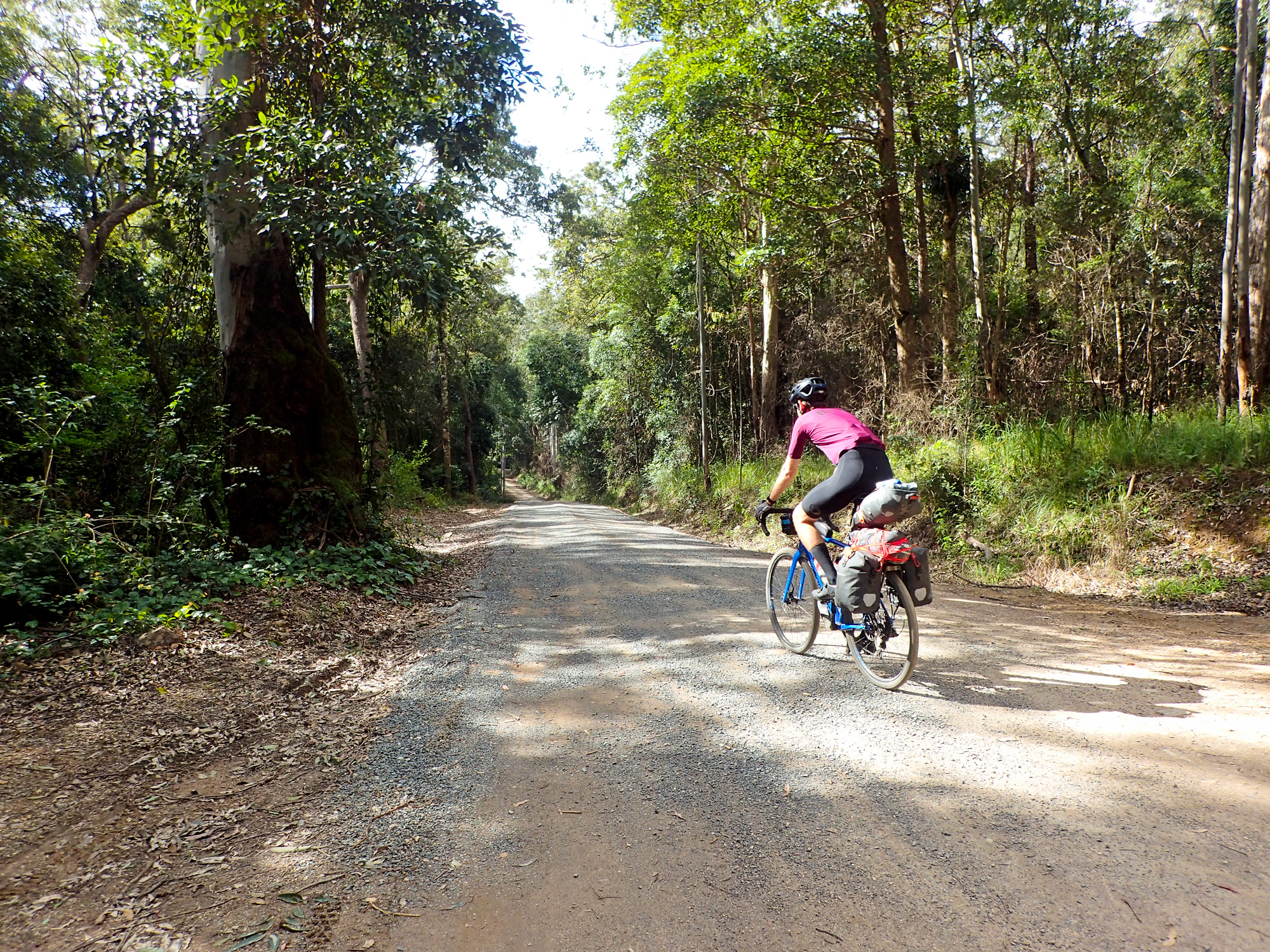
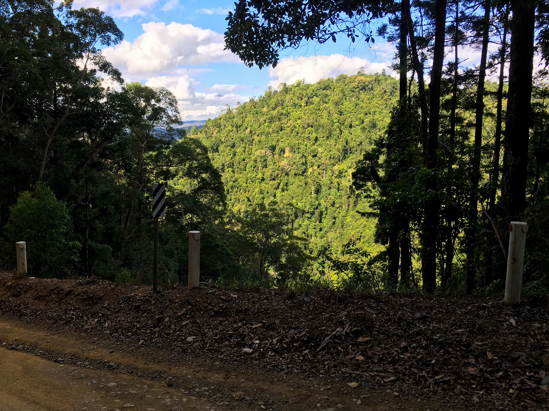
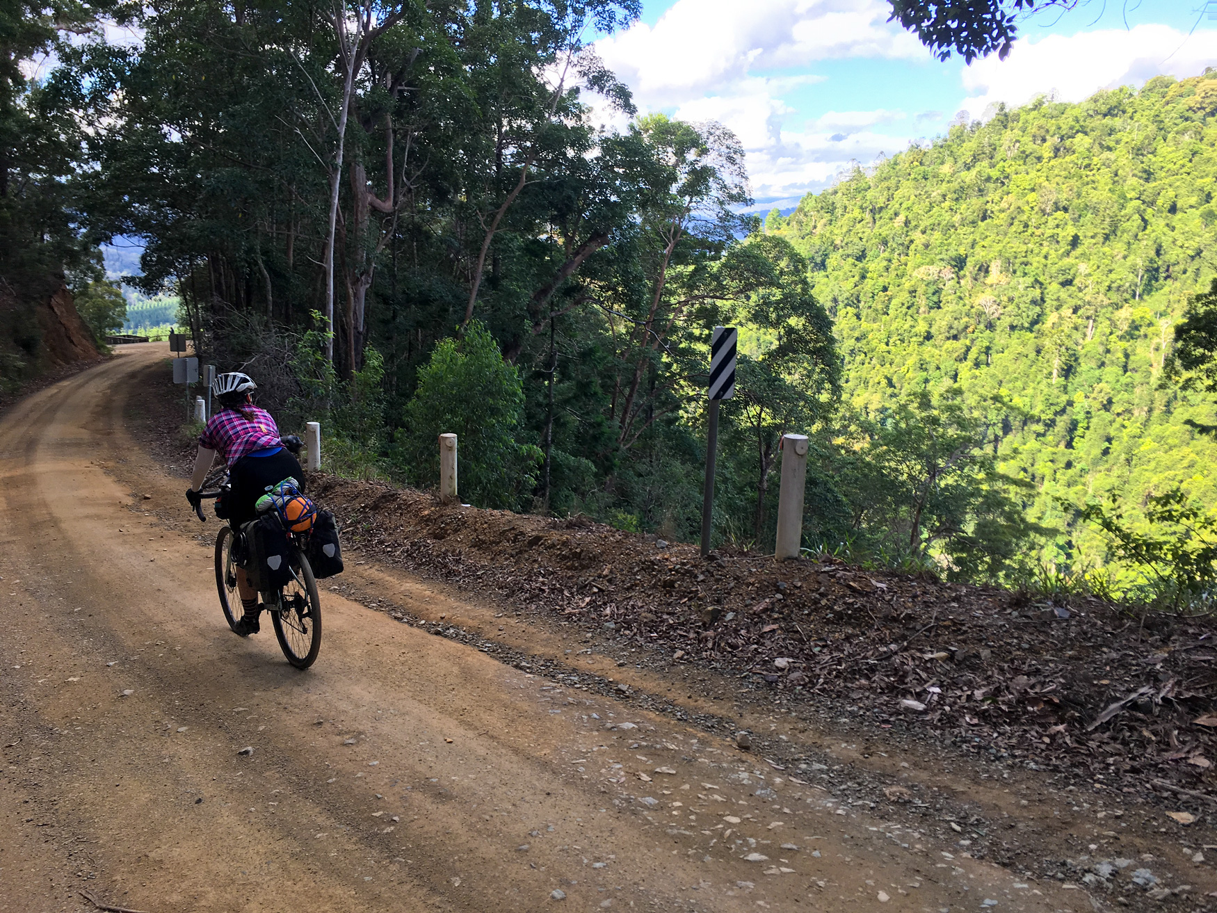
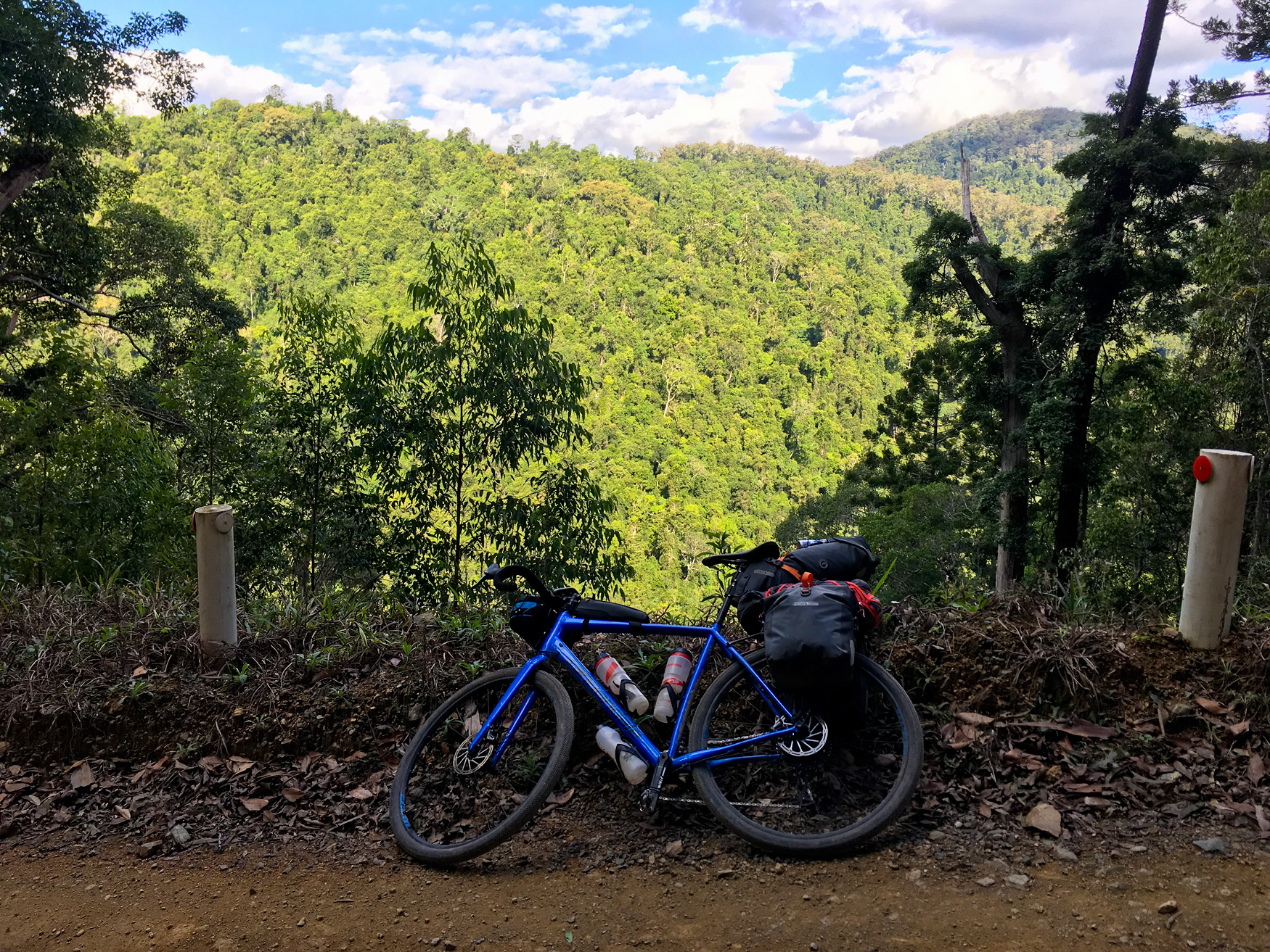
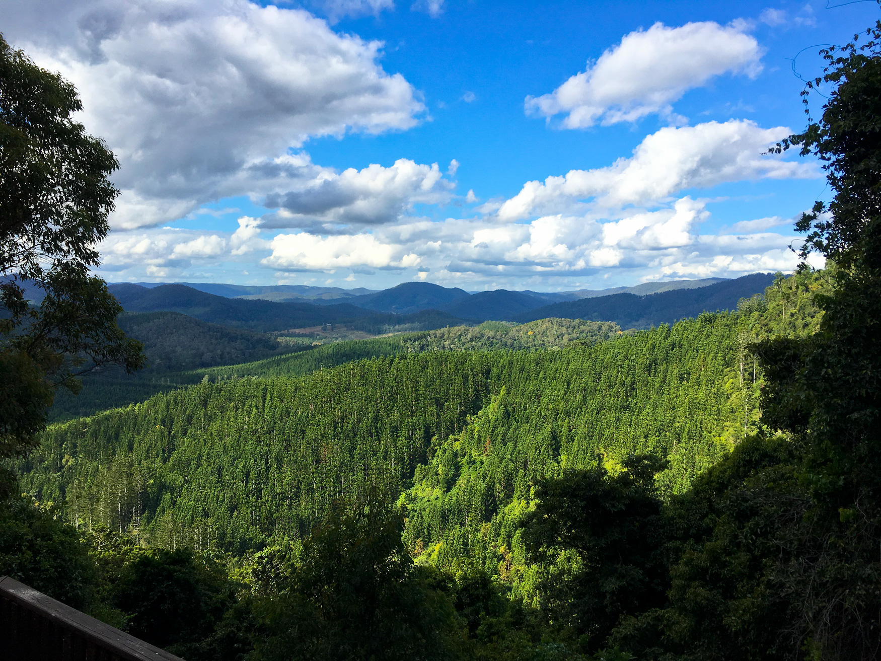
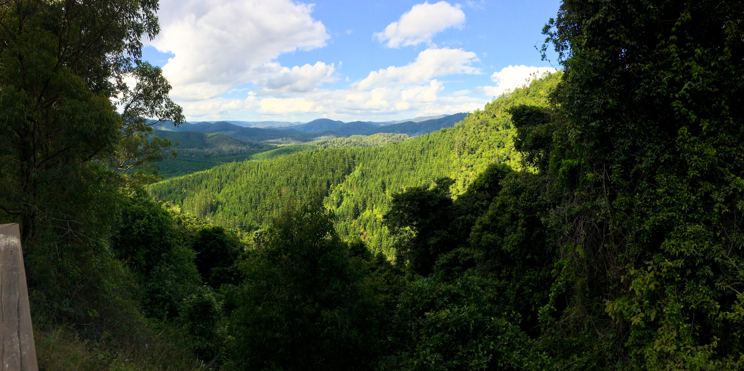
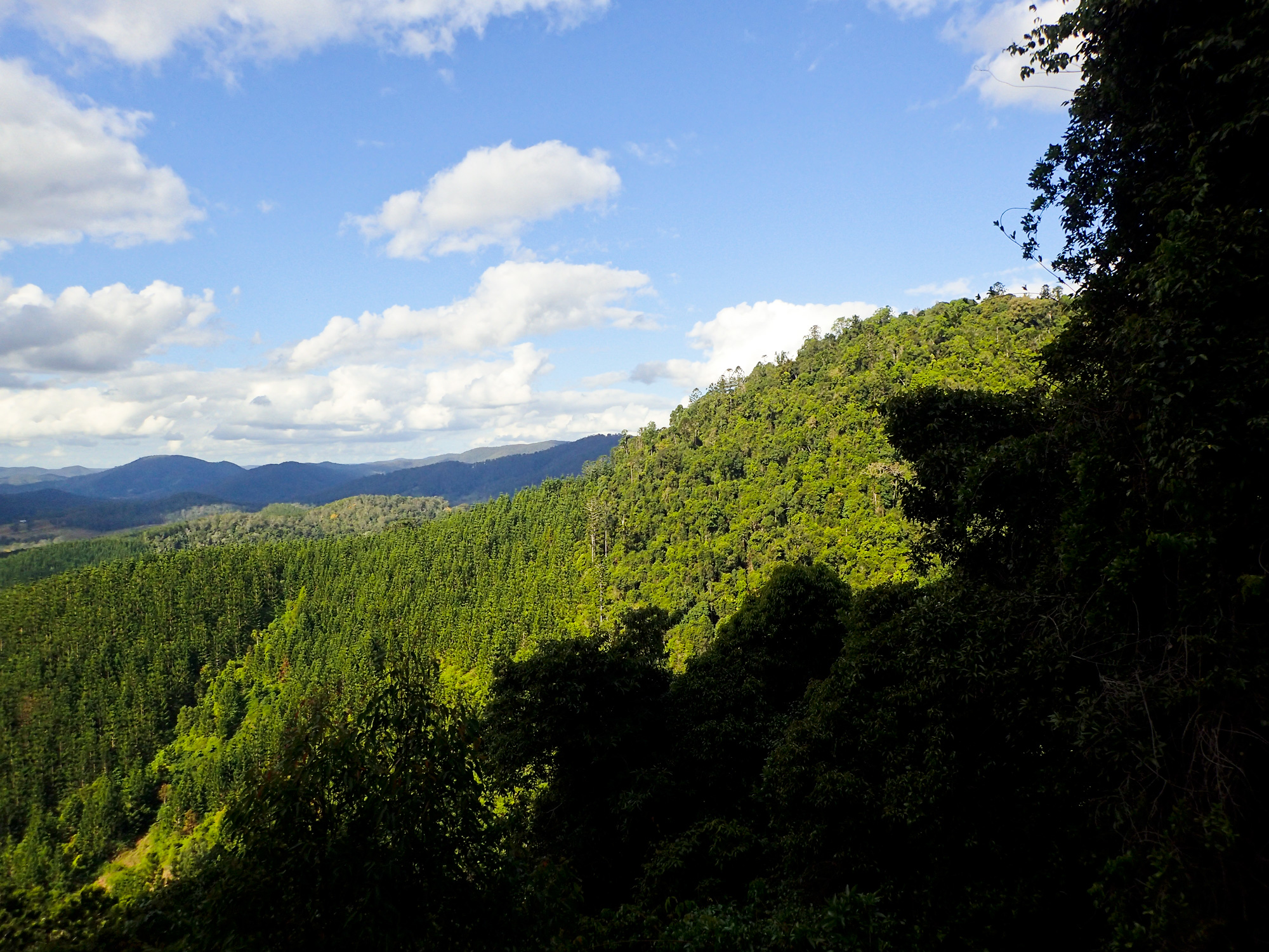
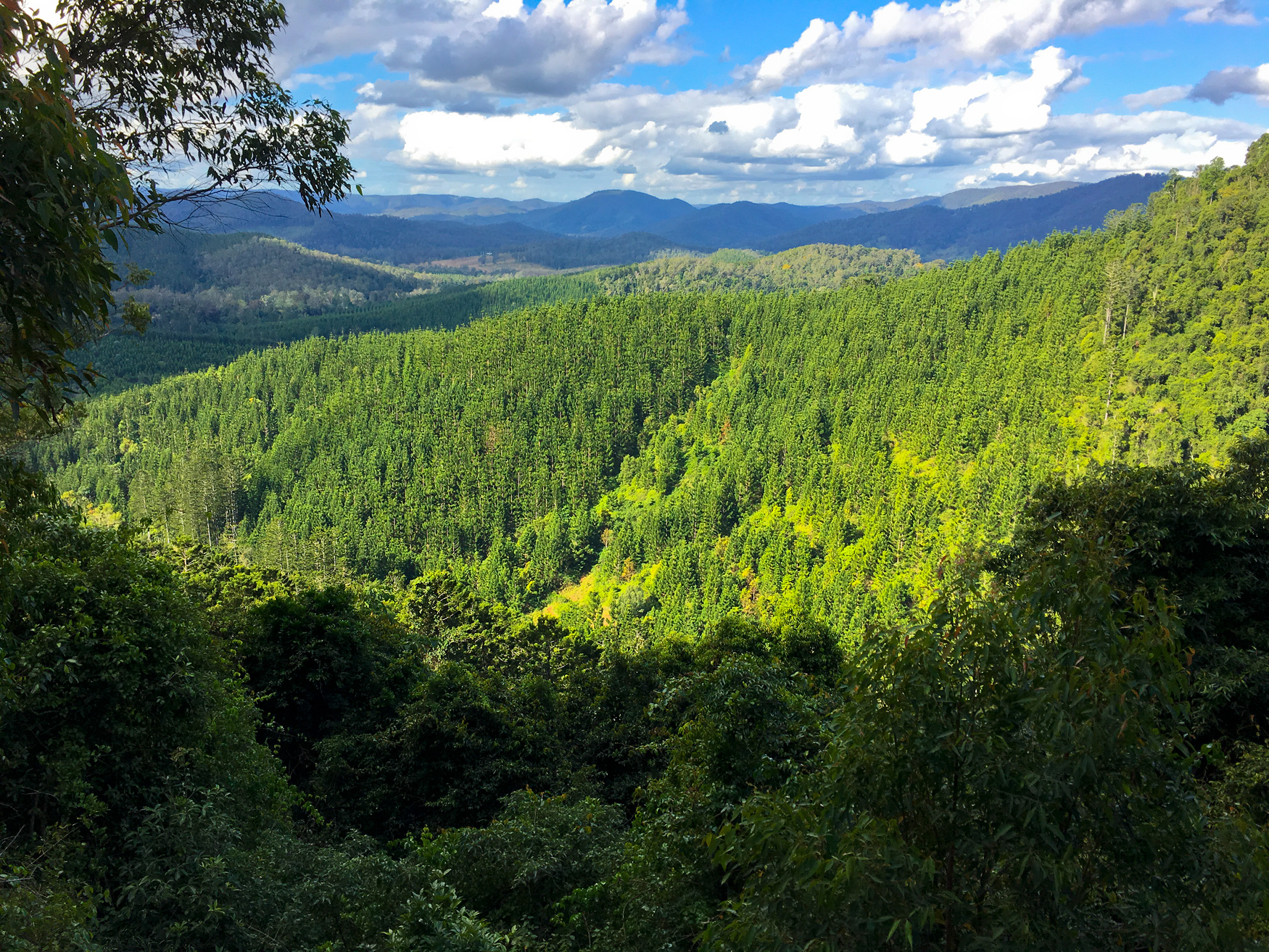
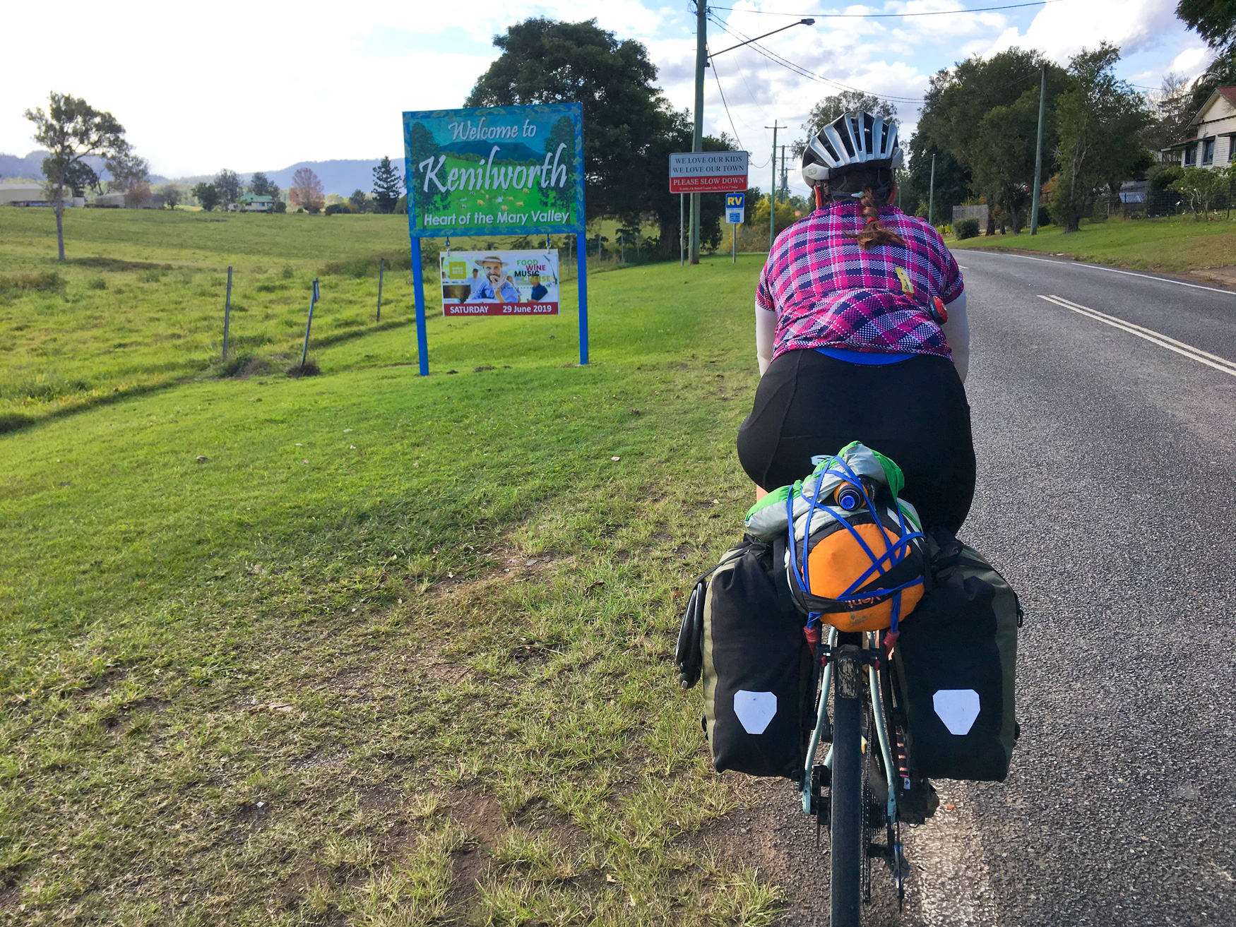
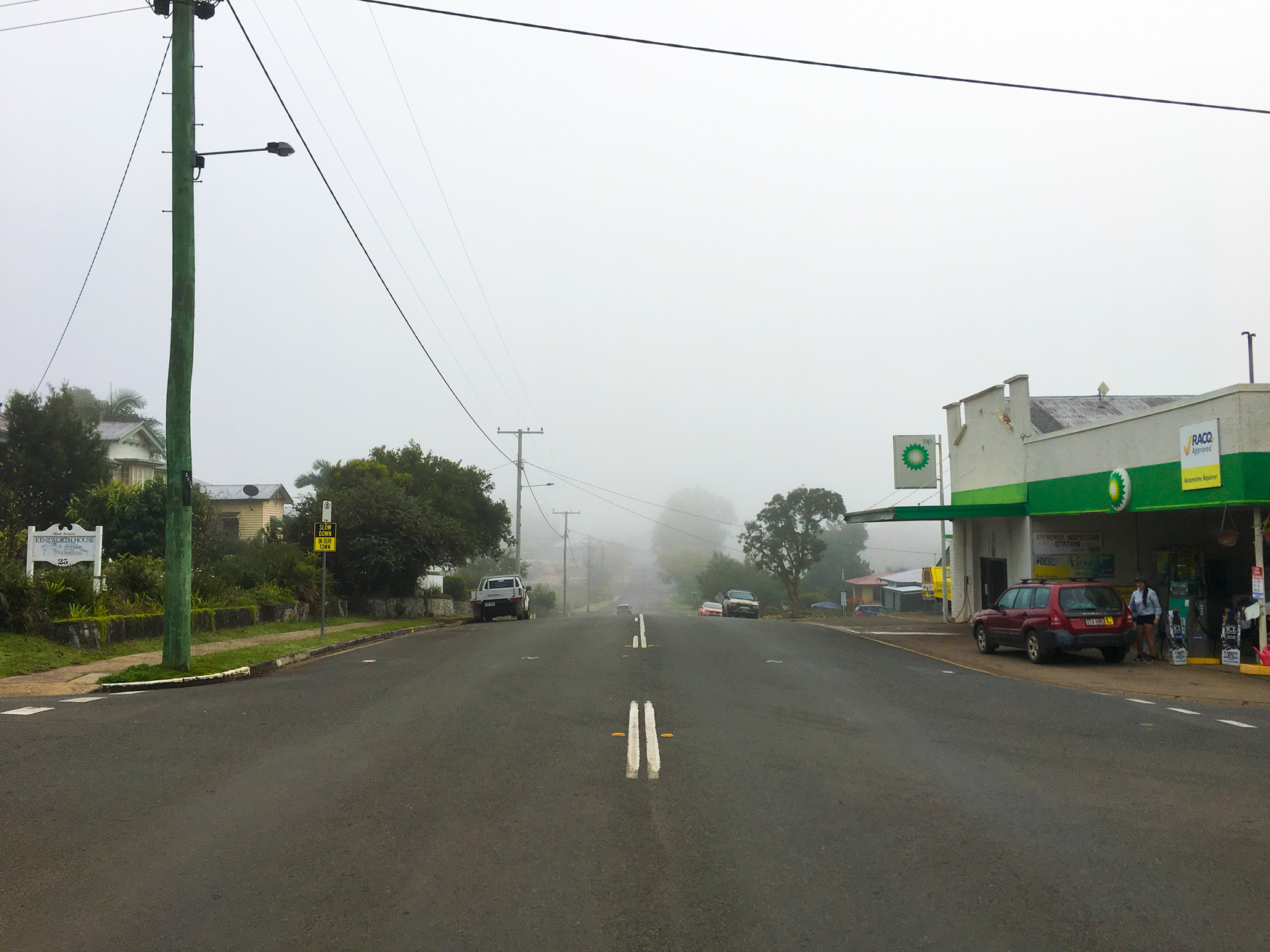
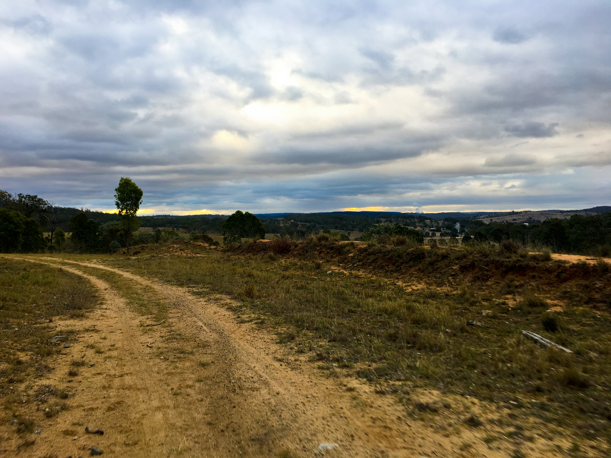
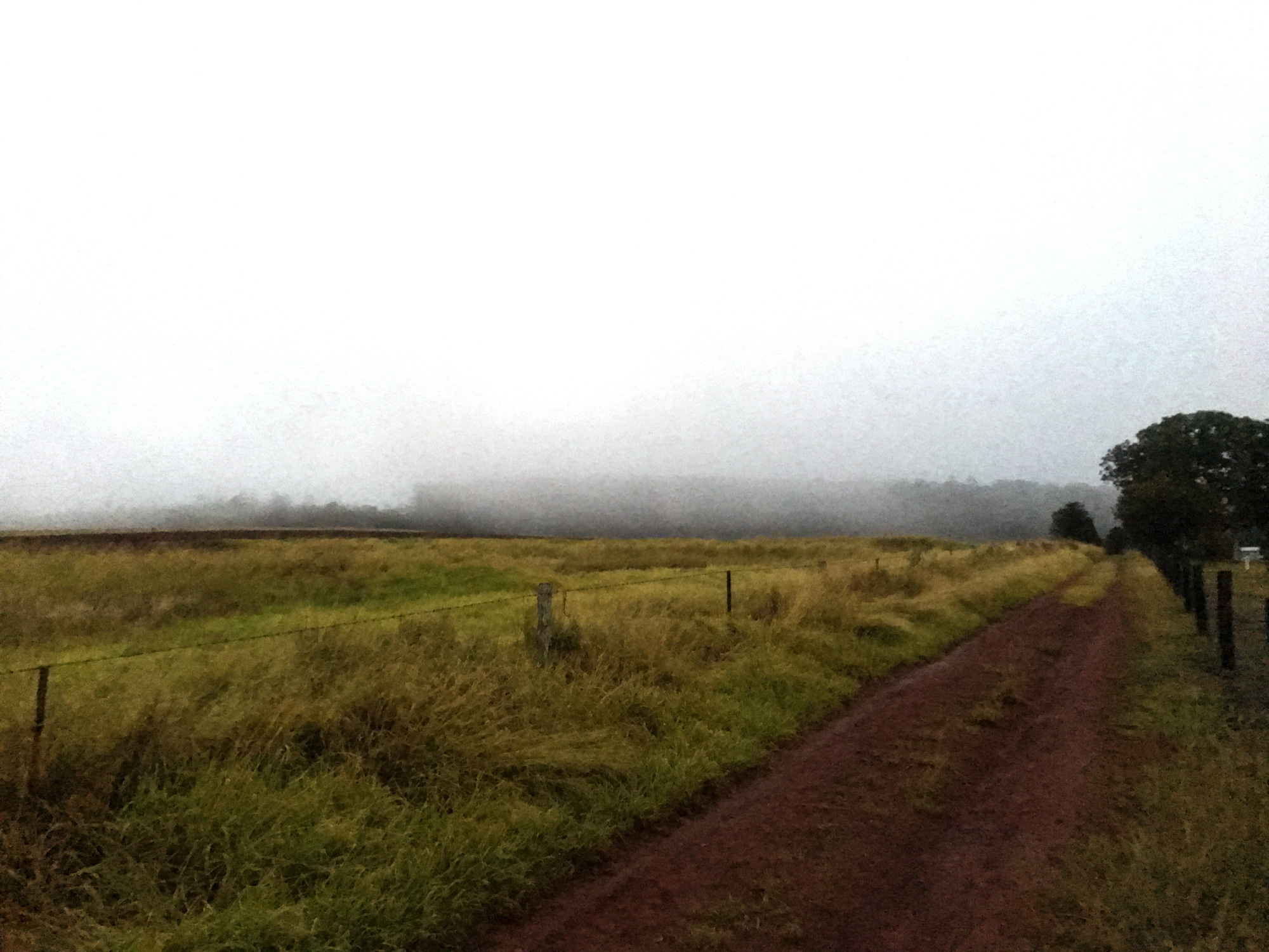
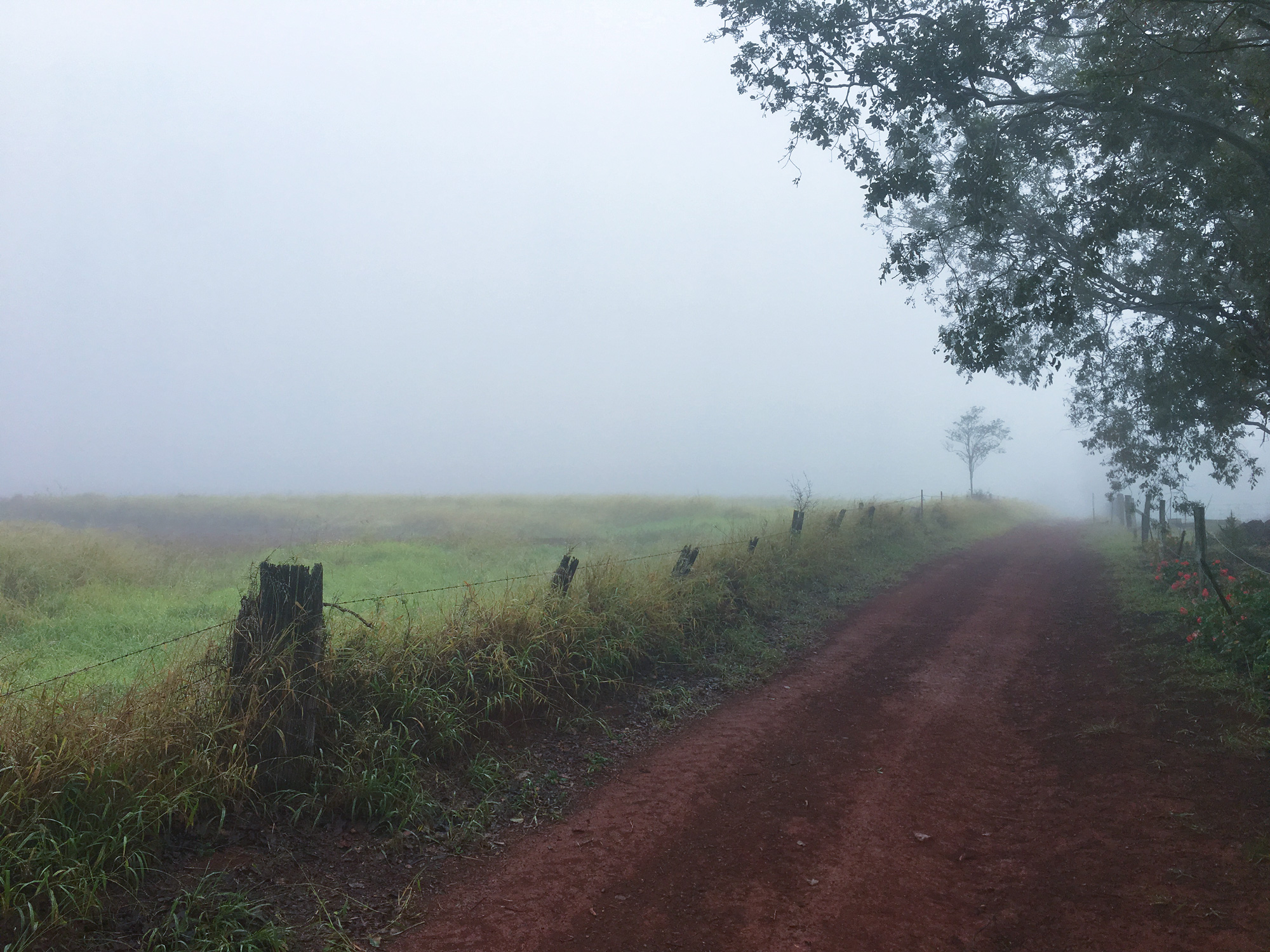
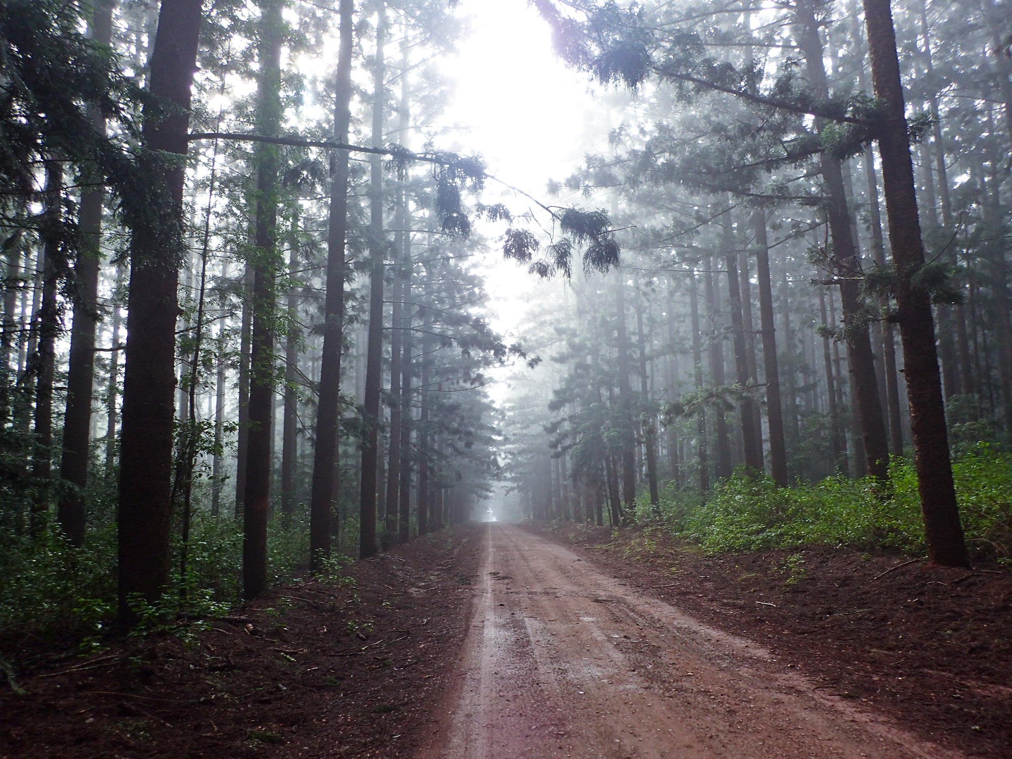
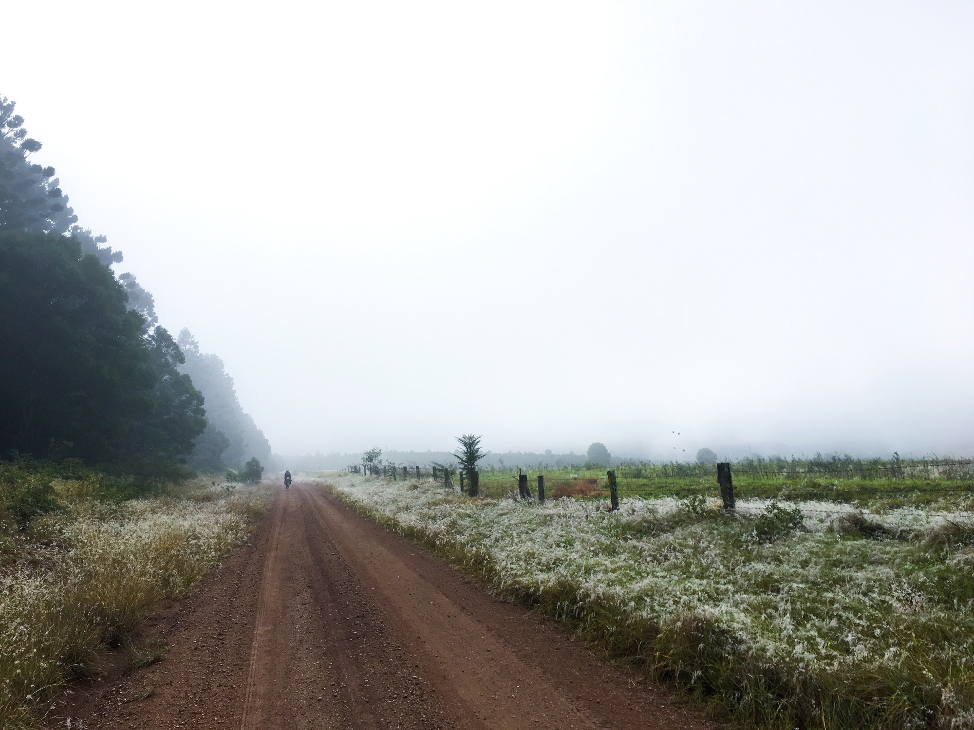
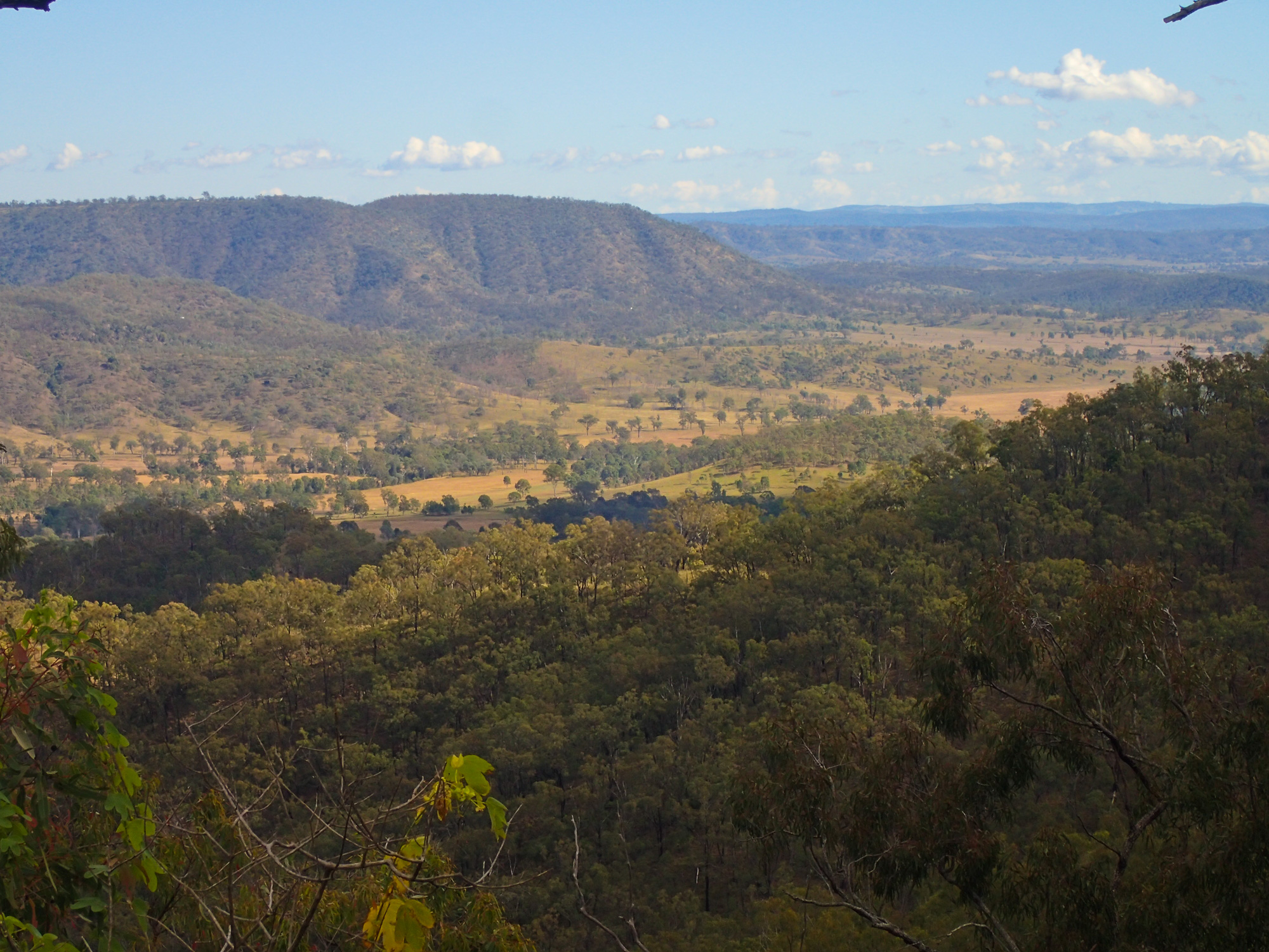
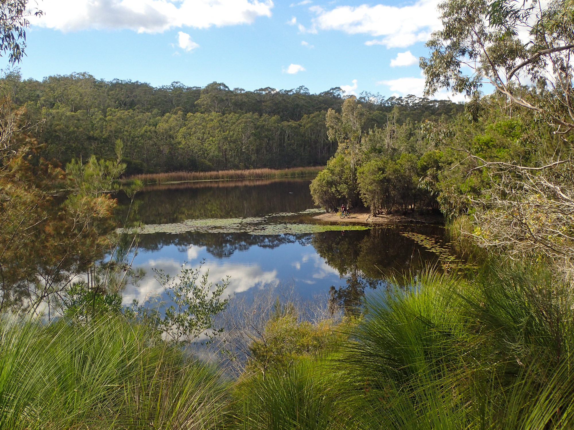
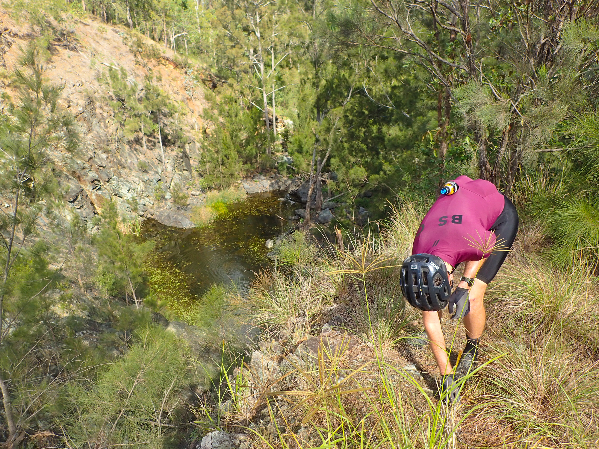
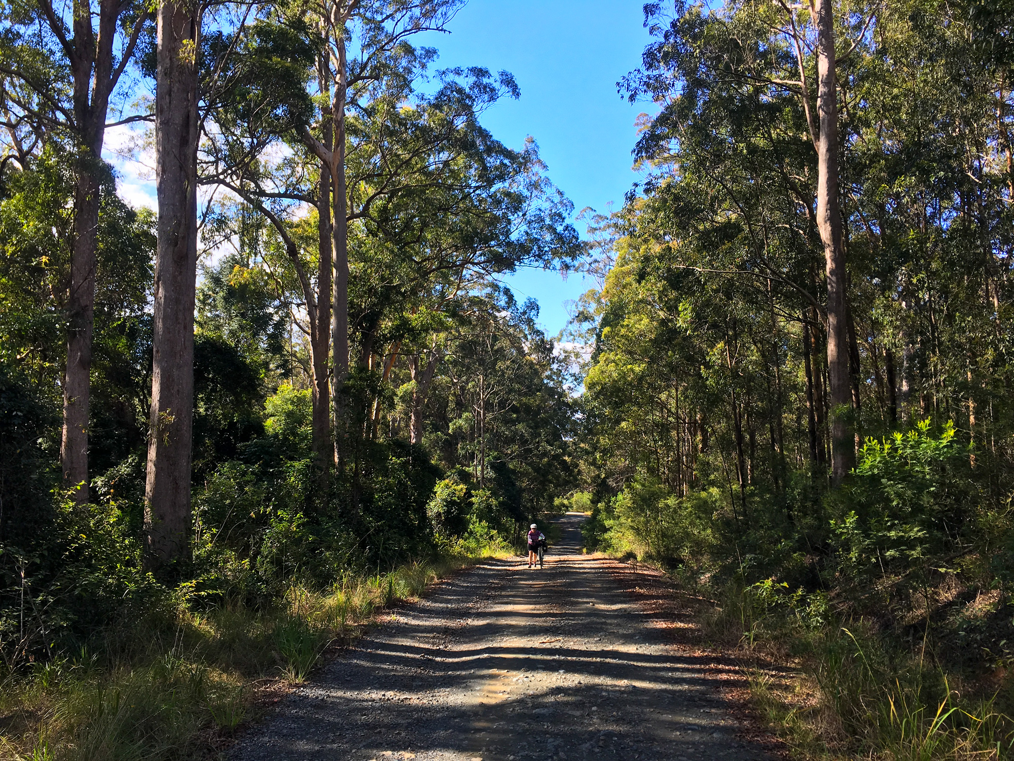
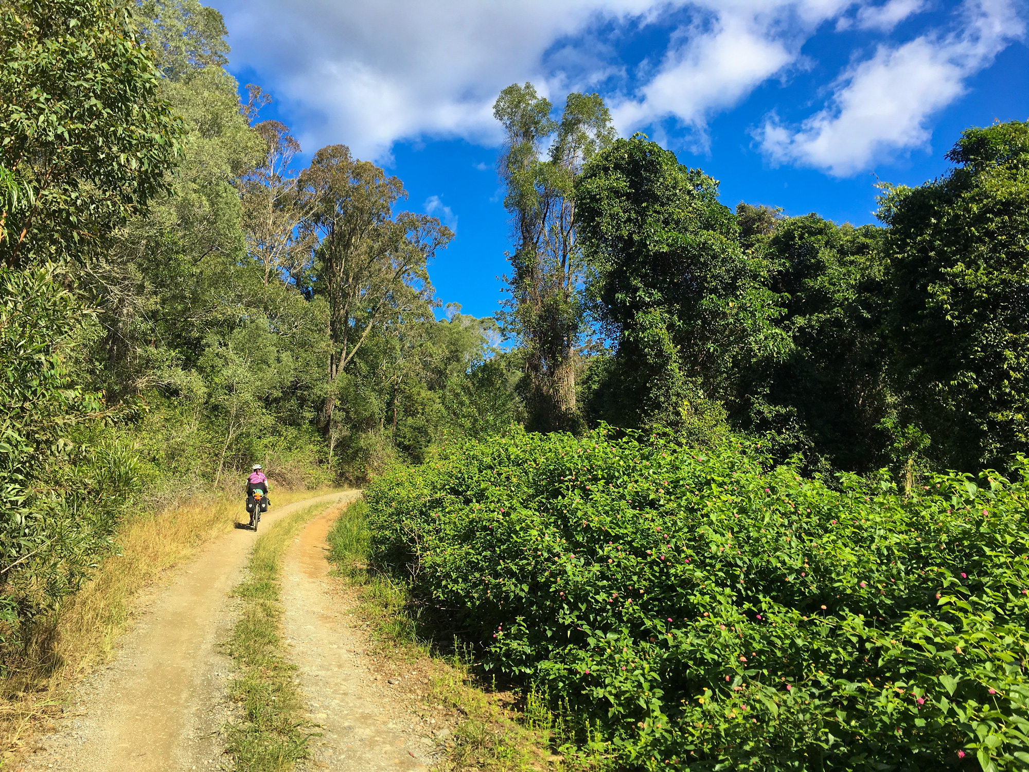
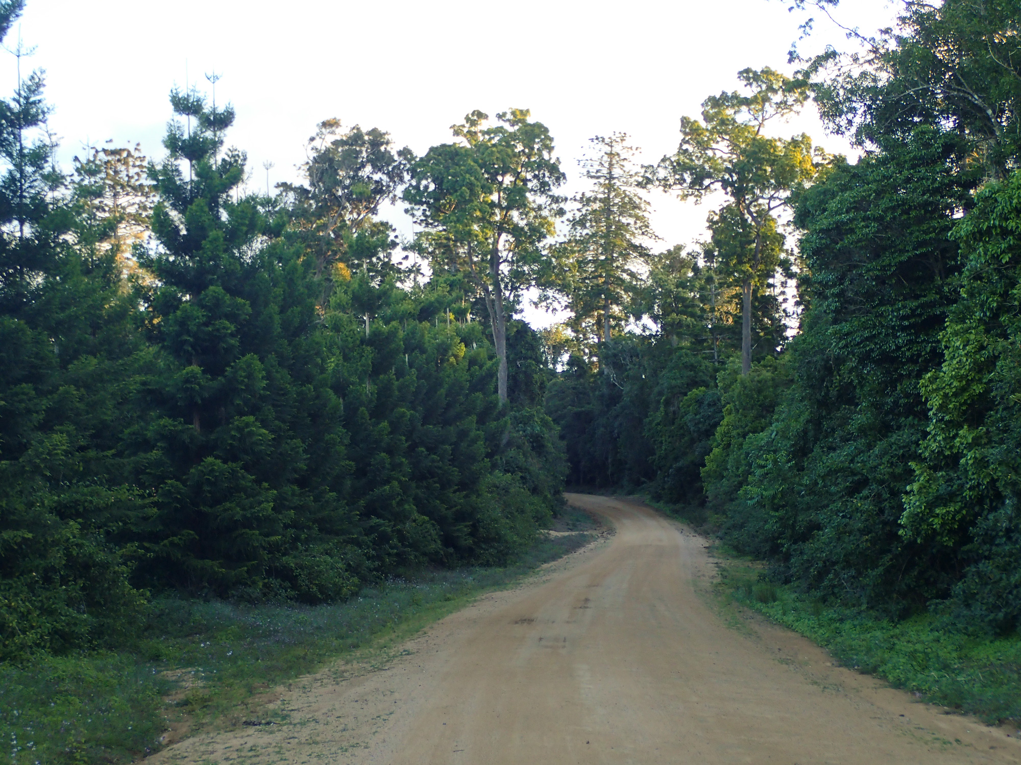
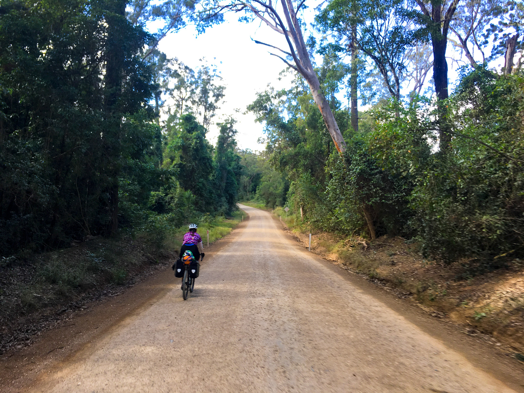
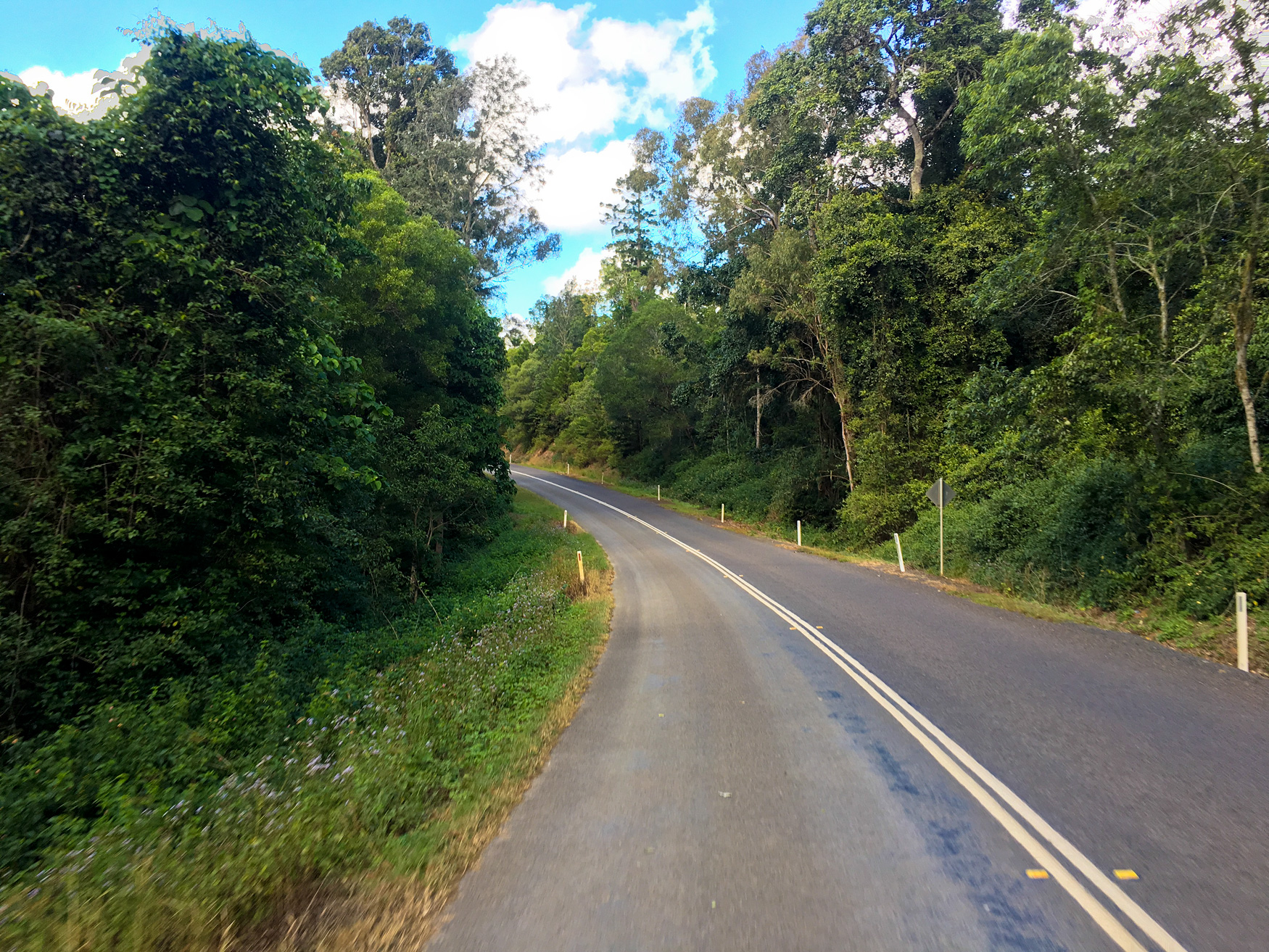
After a short walk to the top of the hill the tarmac road became gravel again with farm land on either side of the road before it was back into the thick forest of the Conondale National Park. When there wasn’t steep pinches it was quite nice riding around the rain forest with 30m tall trees – in some places trees were nearly double that height – lining both sides of the road – . But just like the road to Jimna we kept saying “Kenilworth is just around the corner”. By now Bronwyn was getting quite thirsty and had run out of water. As we crested one of the hills there were 2 SEQ Water workers having a break. I waved and hit the descent to get a photo of Bronwyn coming down. I waited. And waited…. and then she finally appeared before smashing it up the other side of the next steep pinch. We regrouped at the top and it turned out that she had got more water from the two blokes having a break. And that’s when we saw a cliff face appear on our Garmins as we approached an intersection. Was this the end of Sunday Creek Road and the descent into Kenilworth???