2020 LAKE SAMSONVALE EXPLORER RIDE 01
lake samsonvale
1
days
41
kms
775
meters climbed
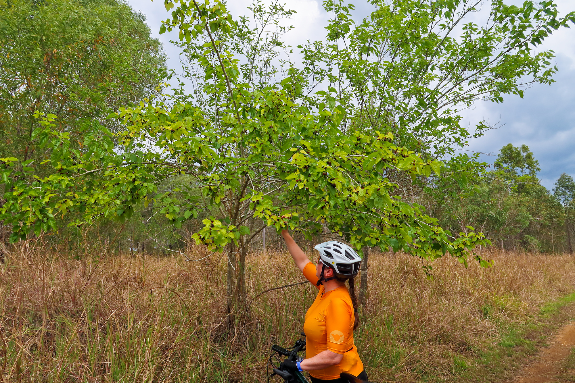
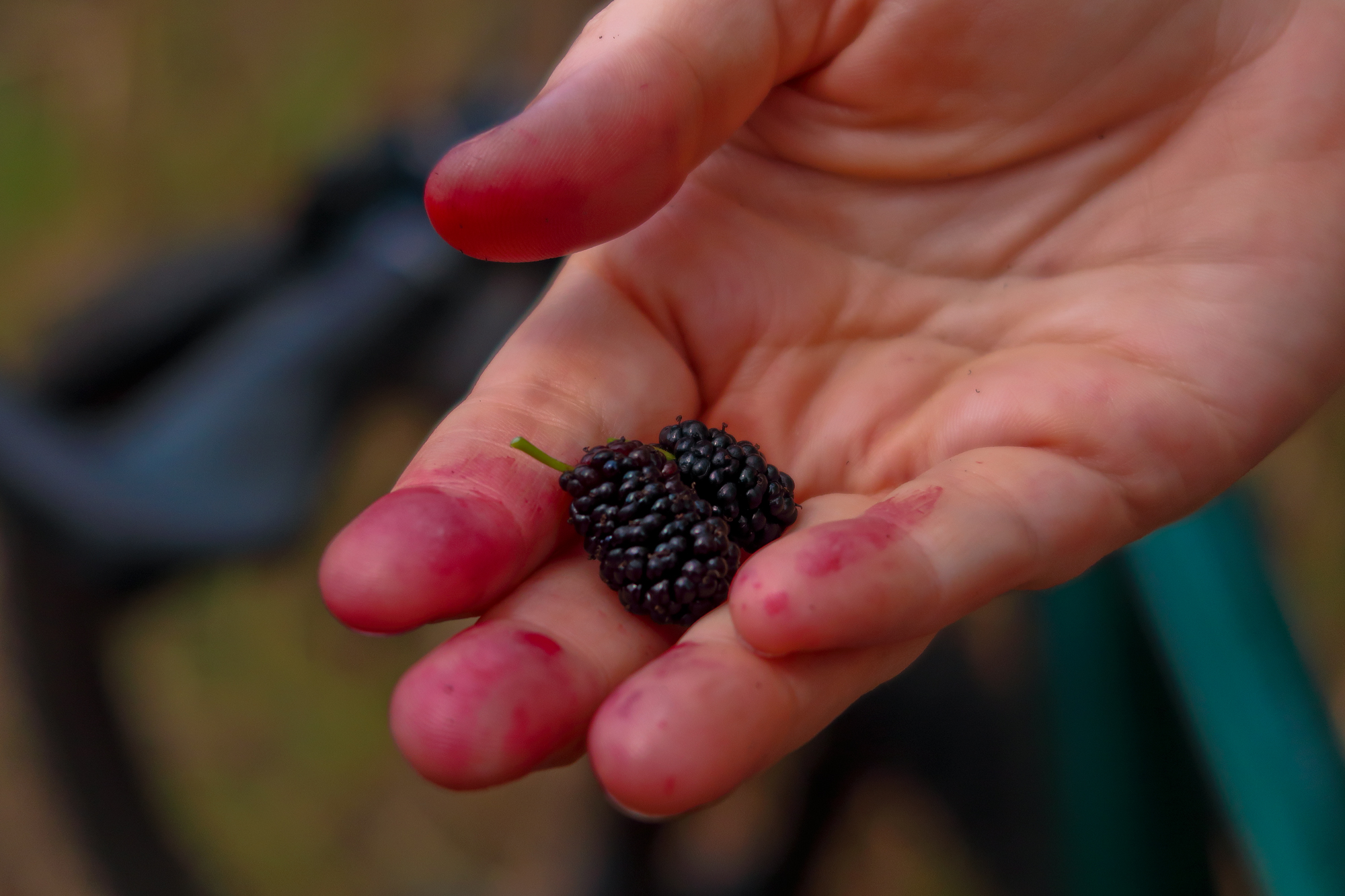
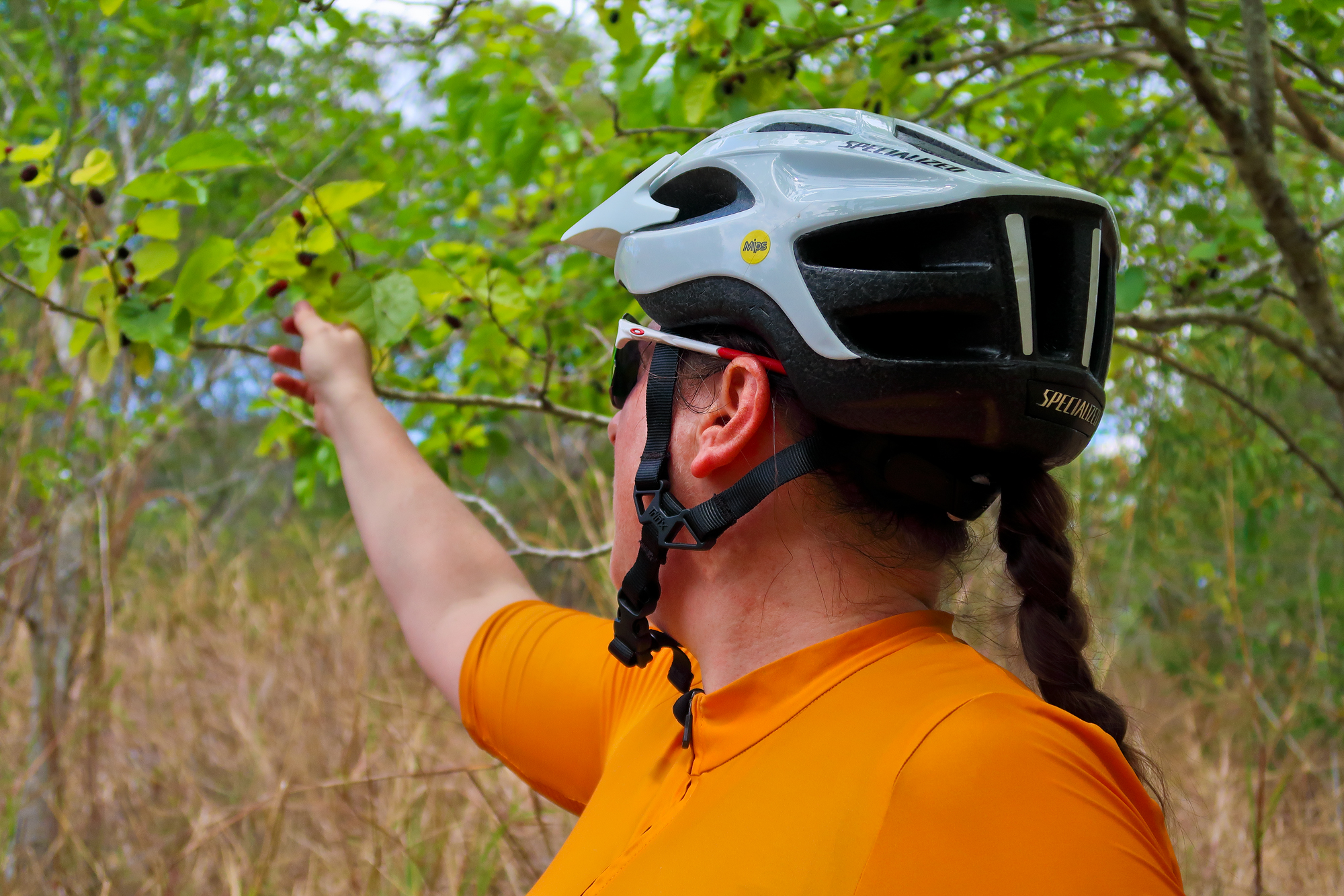
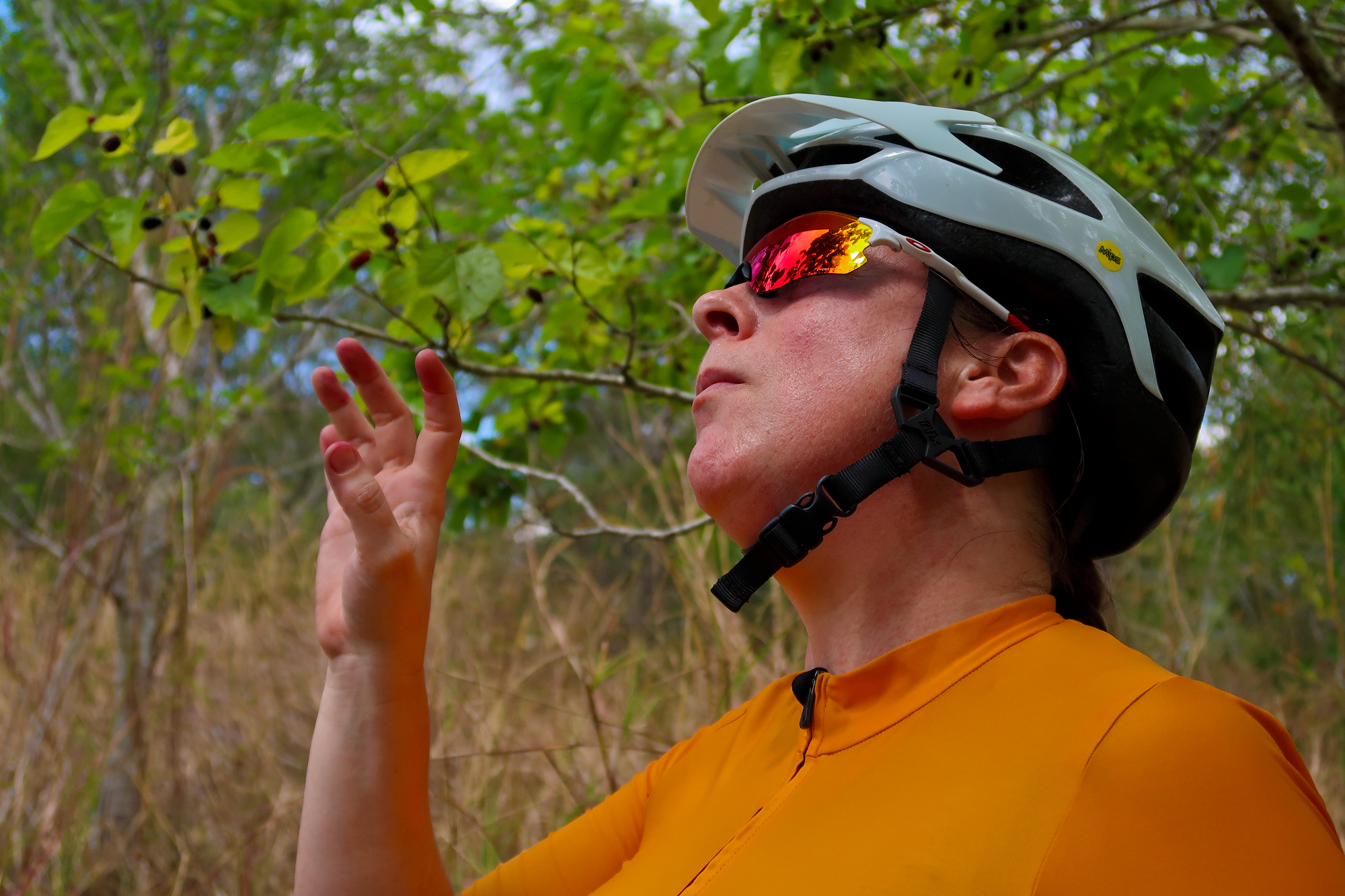
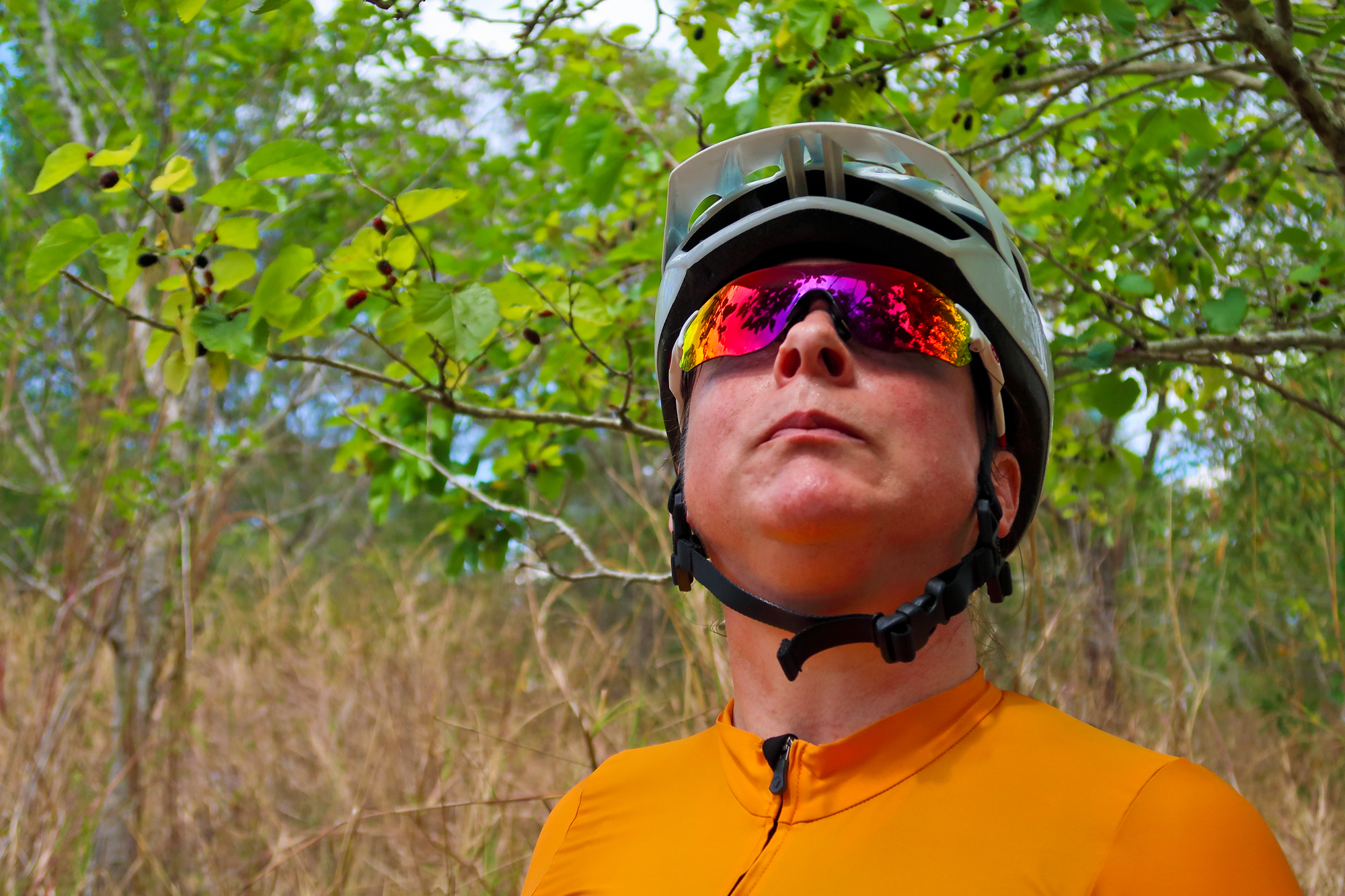
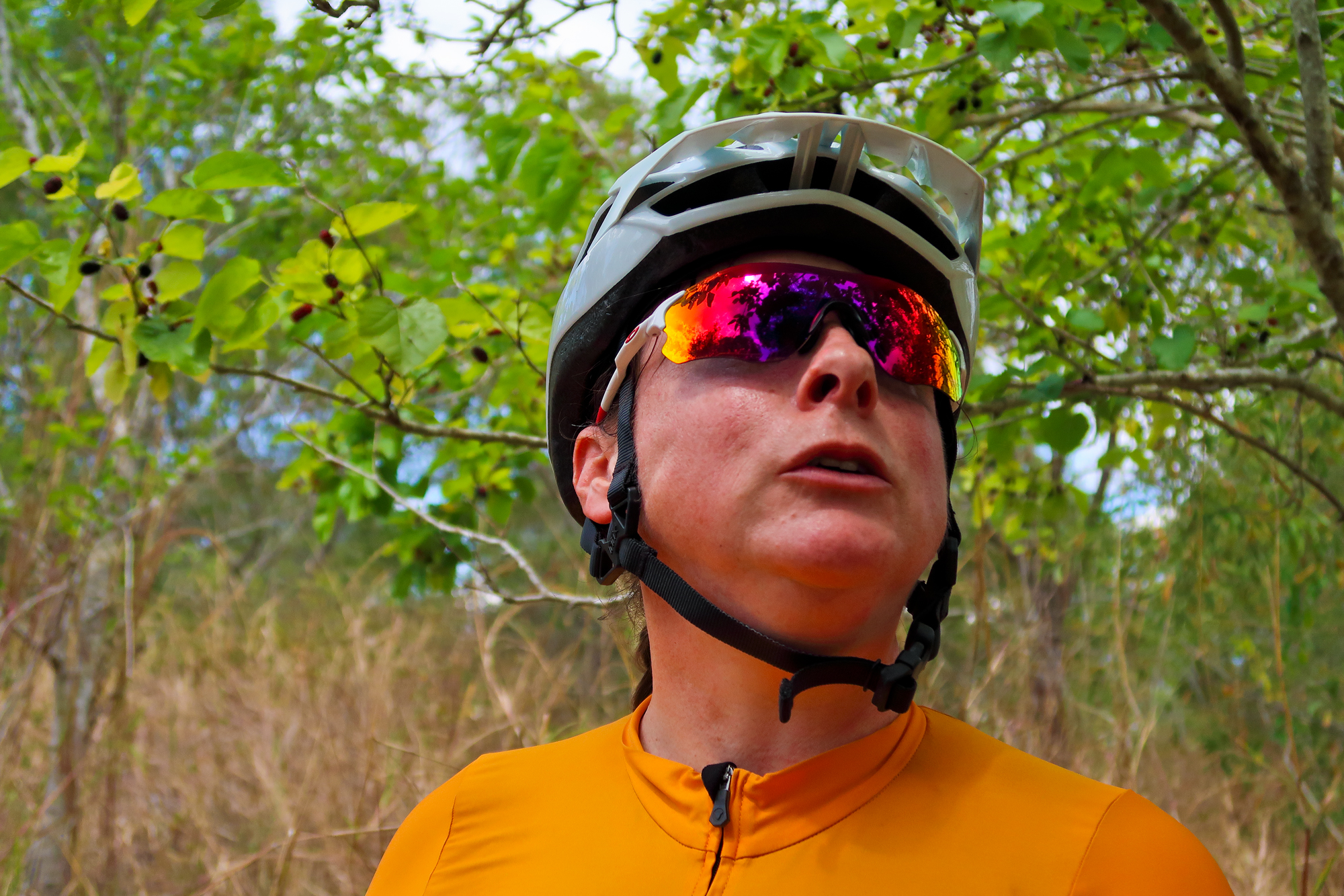
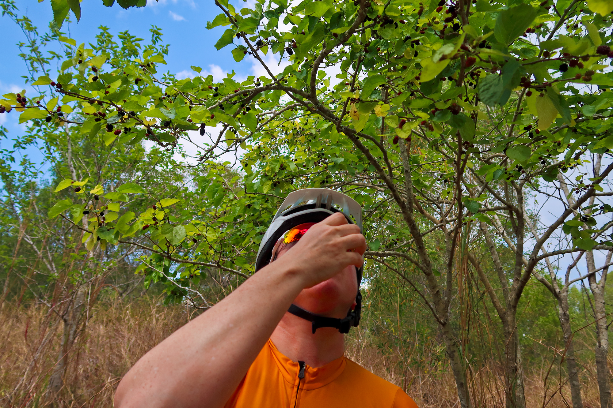
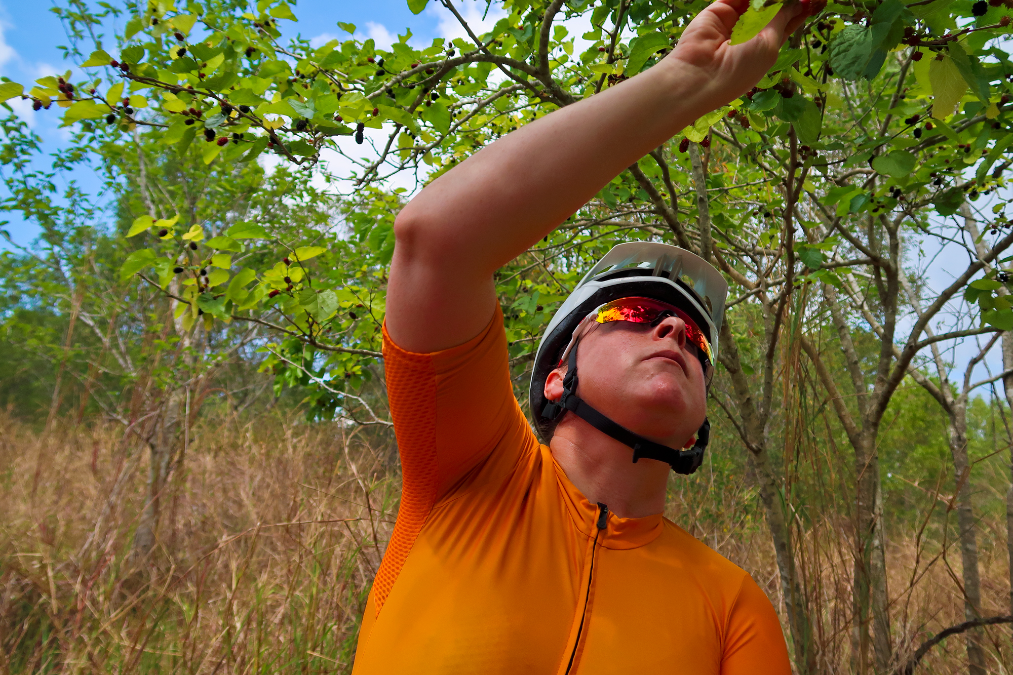
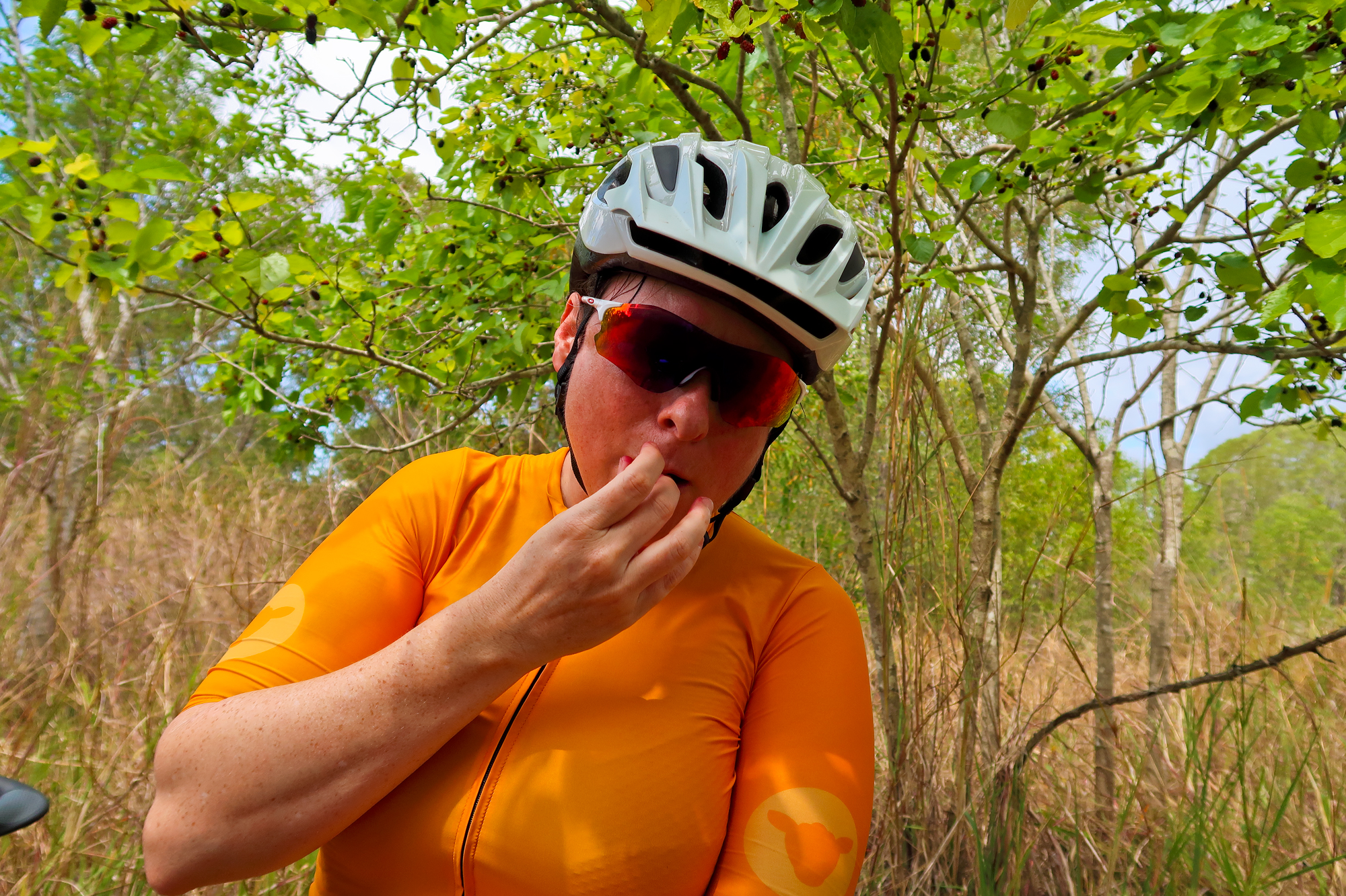
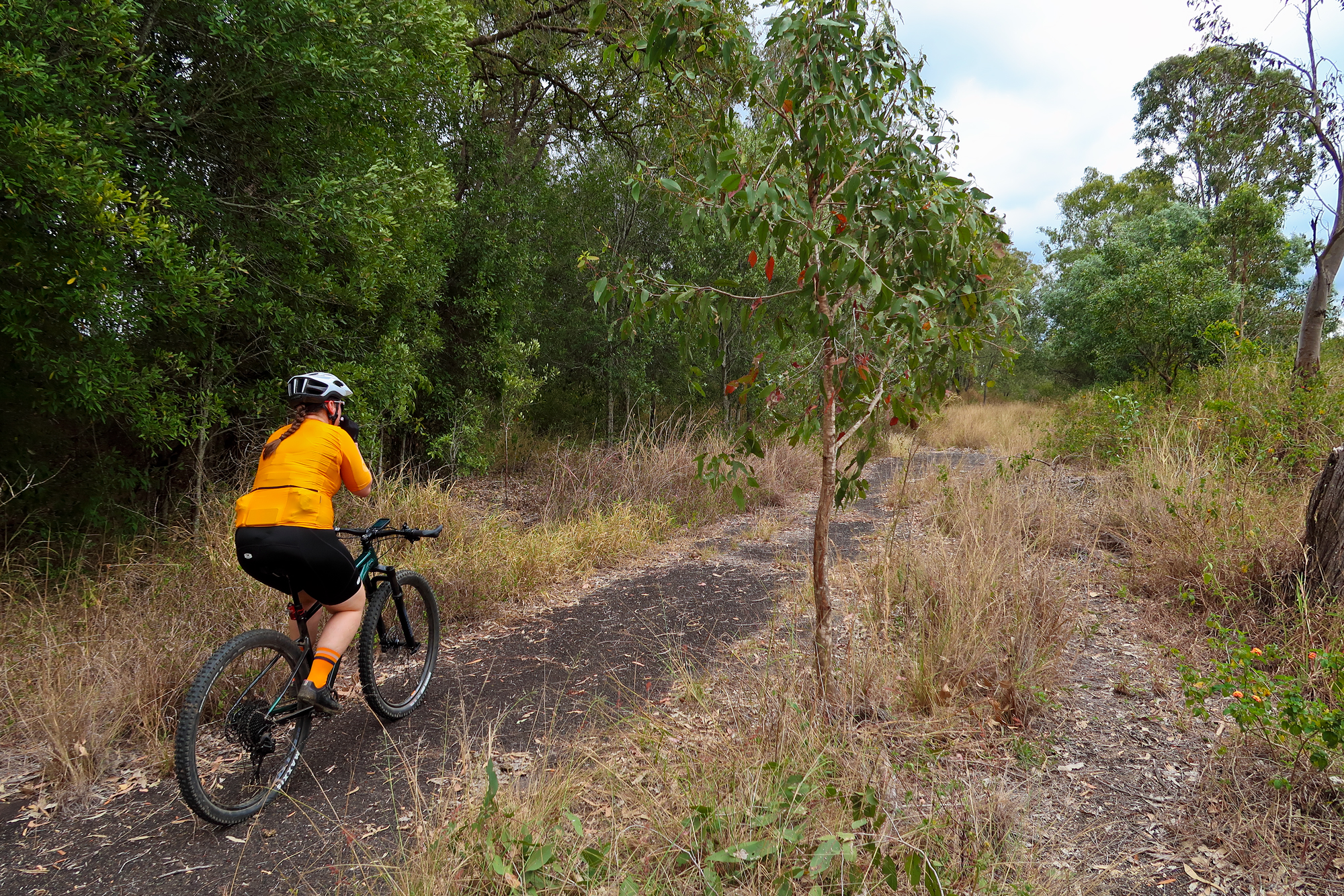
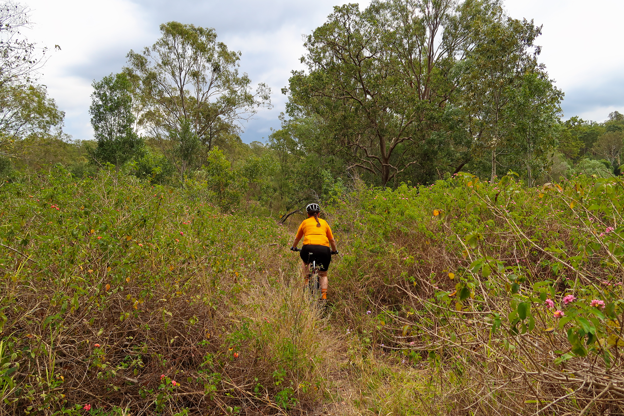
Bronwyn found some berries which means it’s time for a montage…
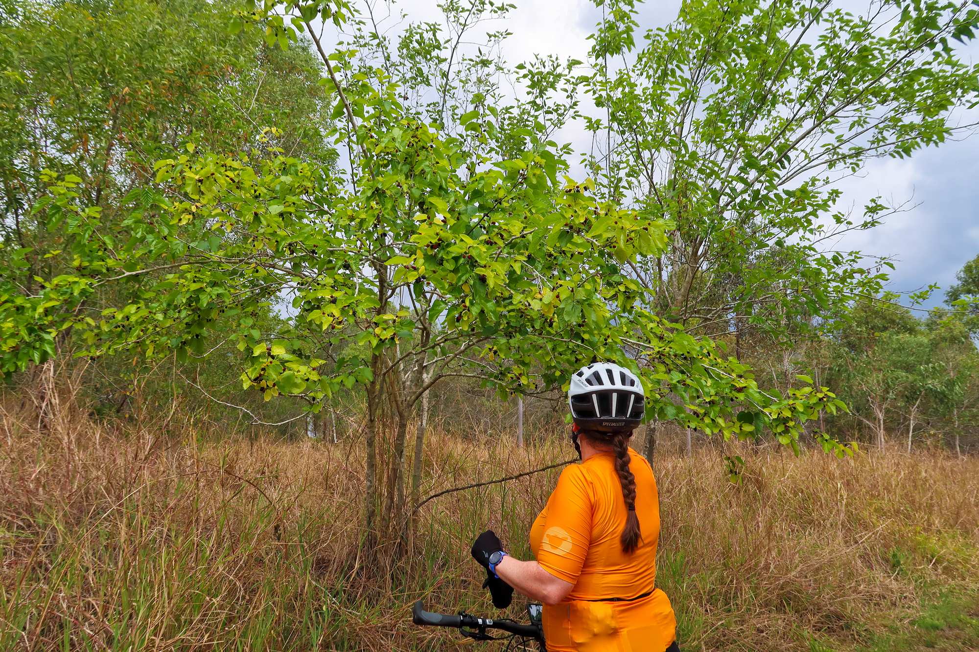
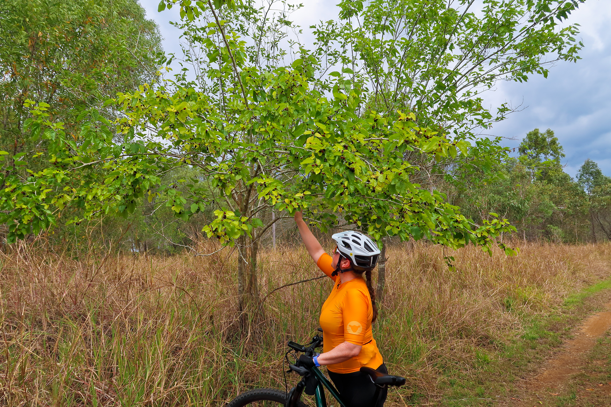
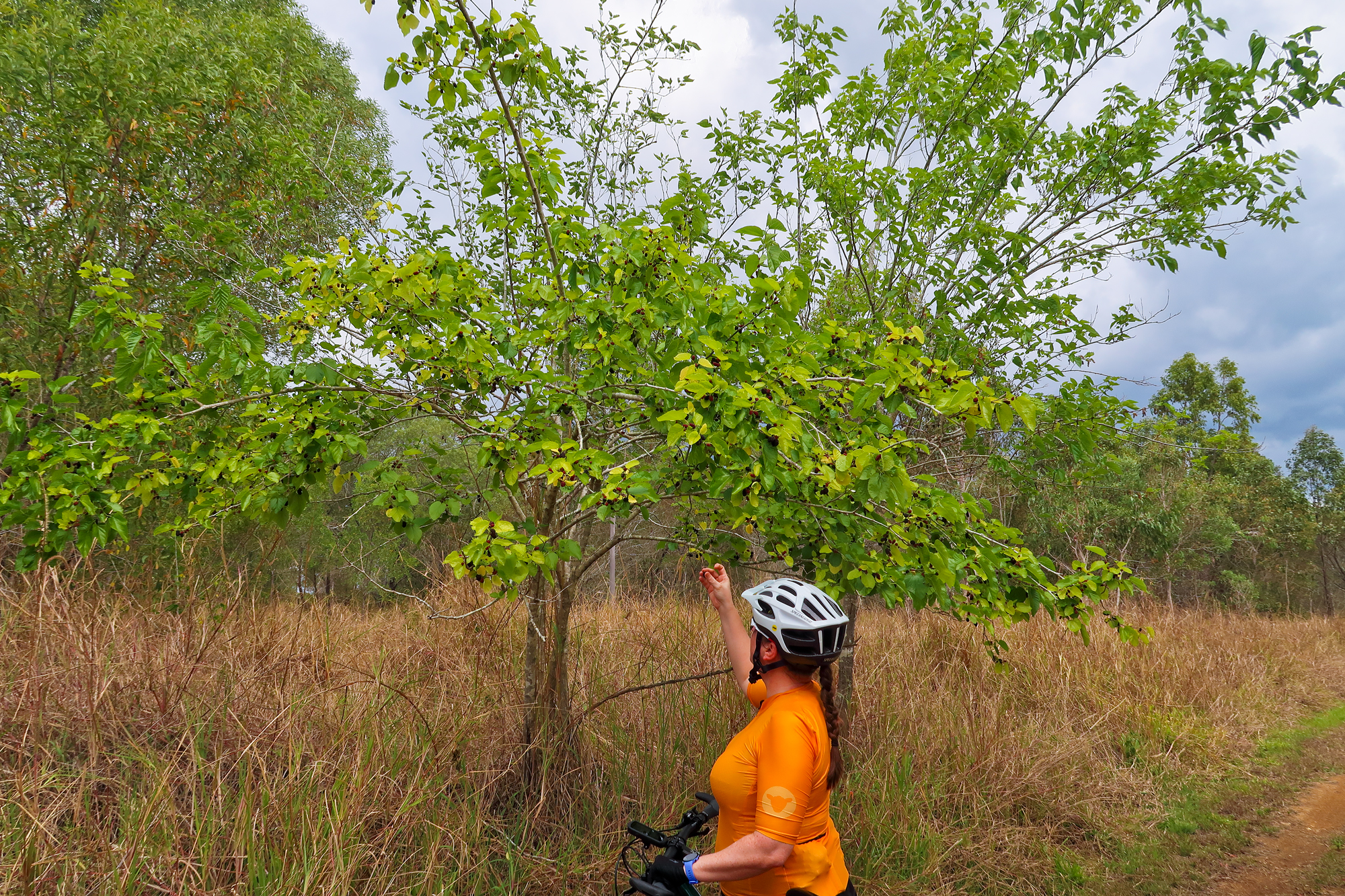
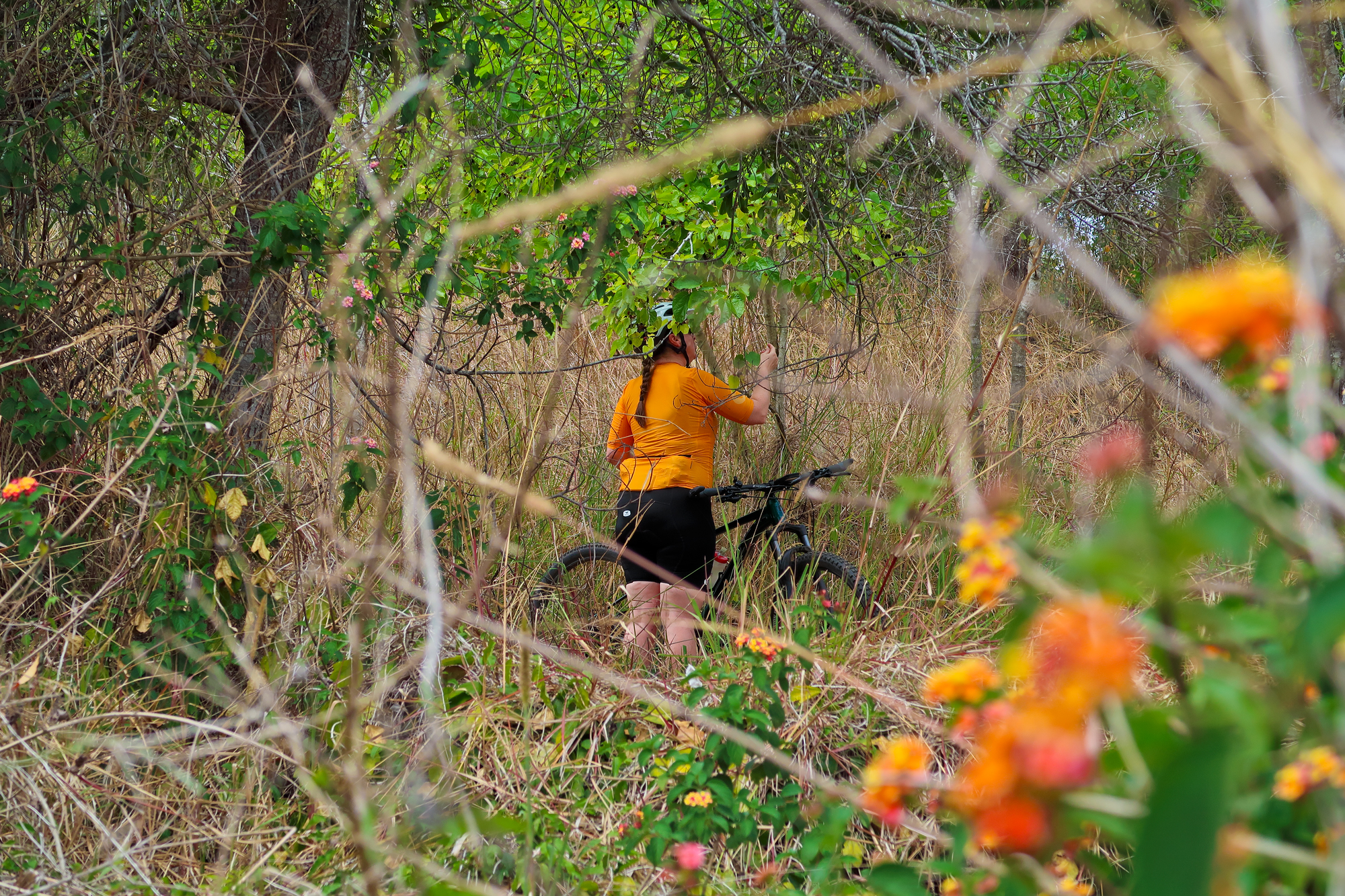
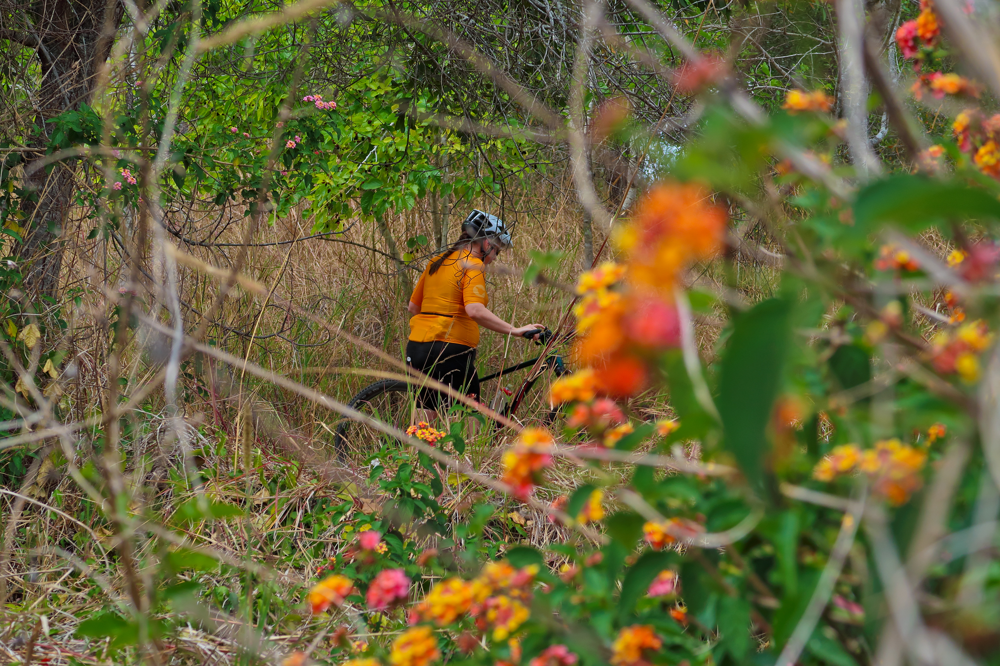
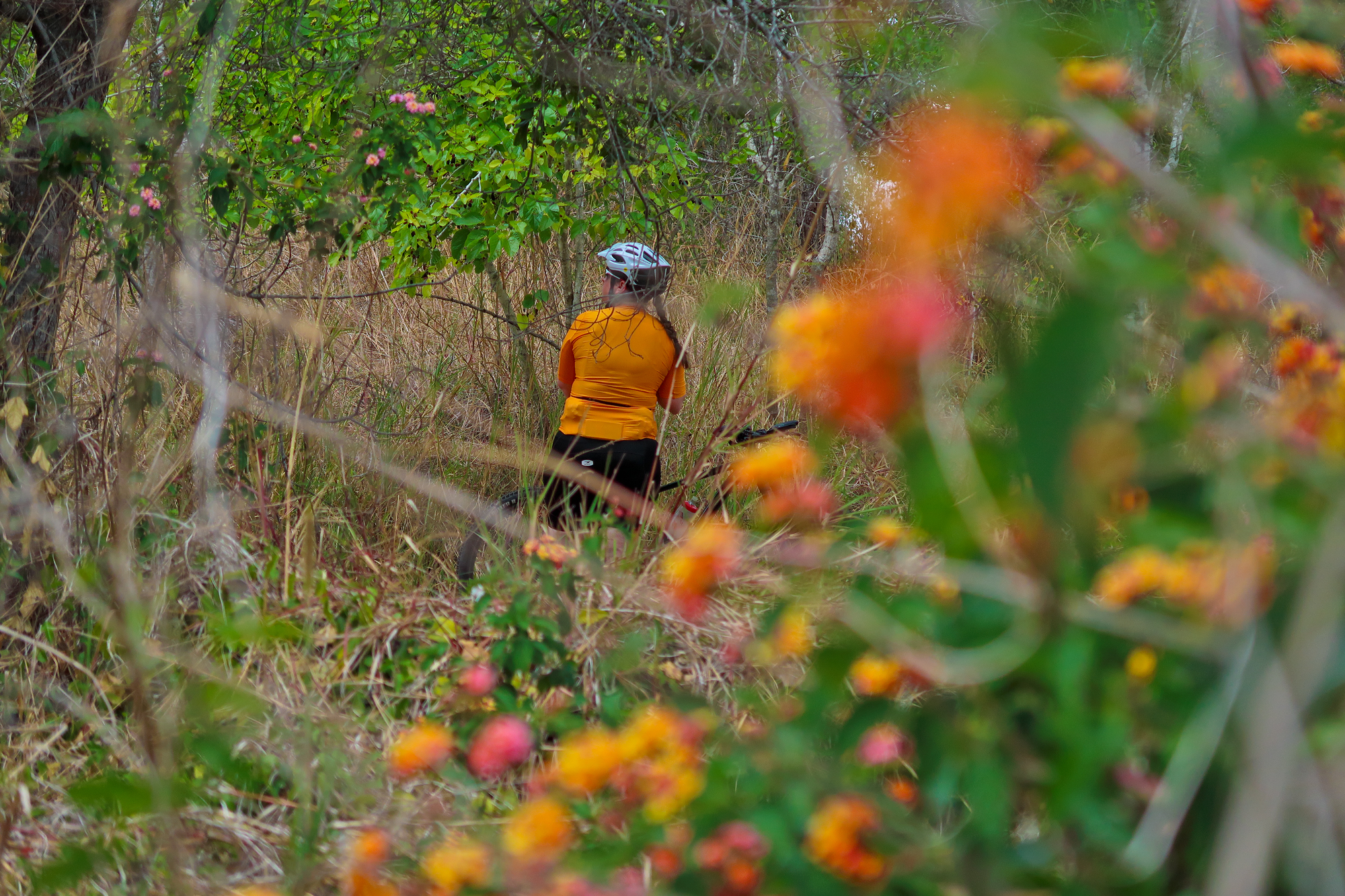
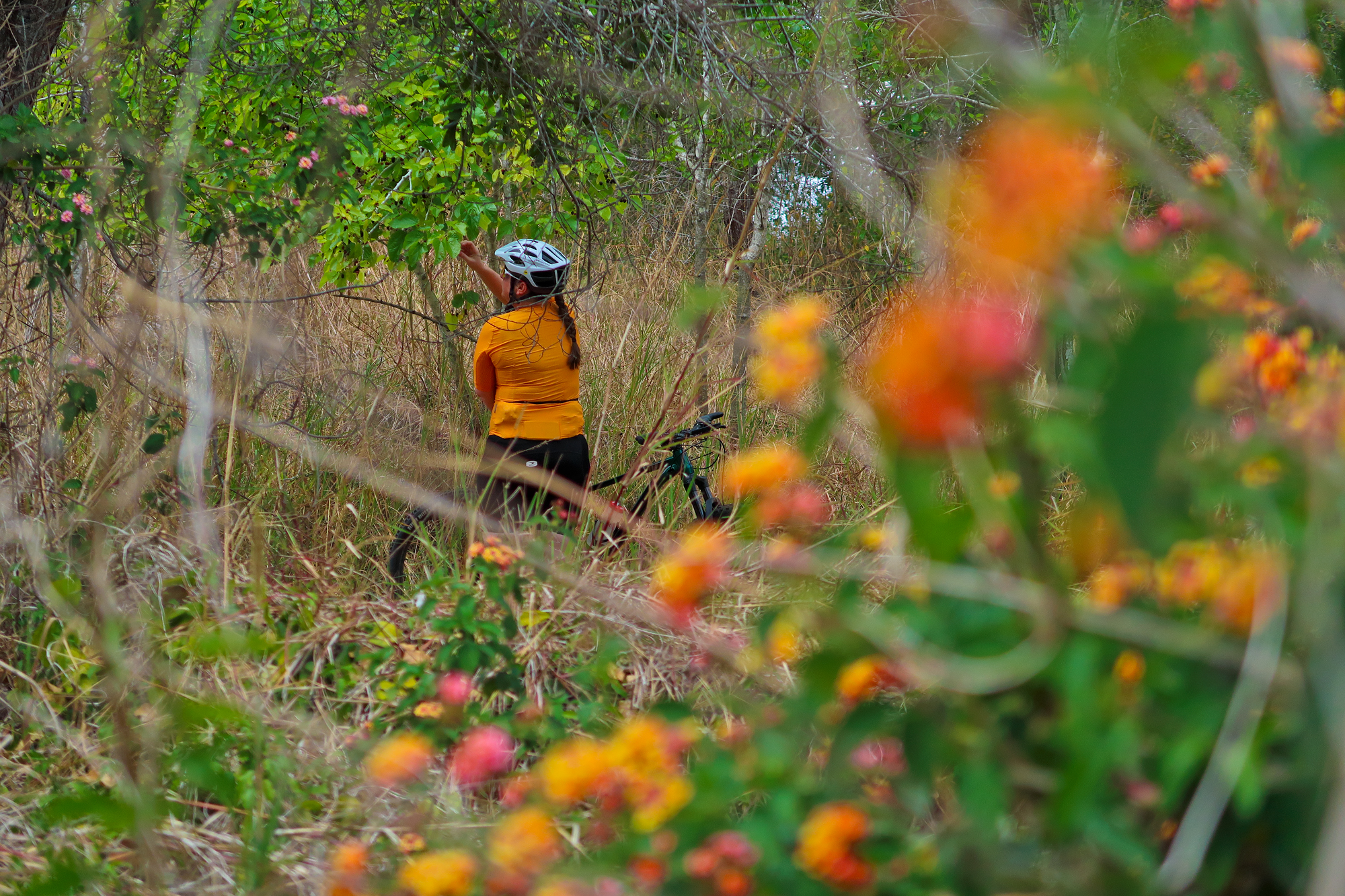
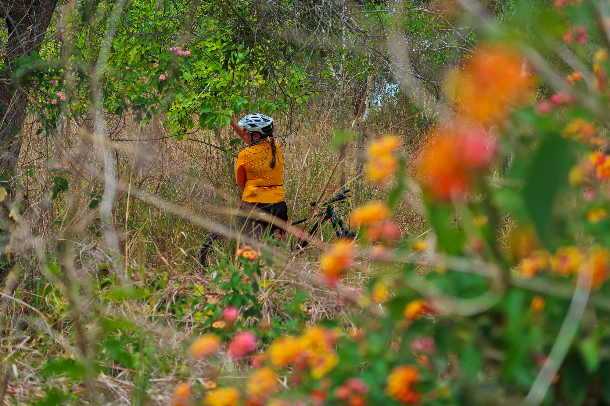
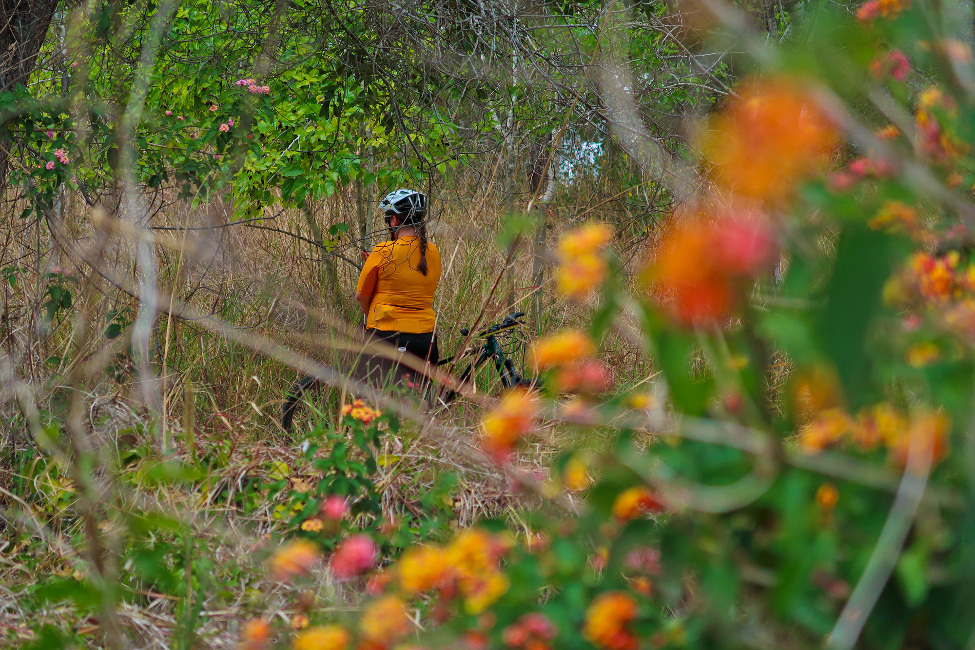
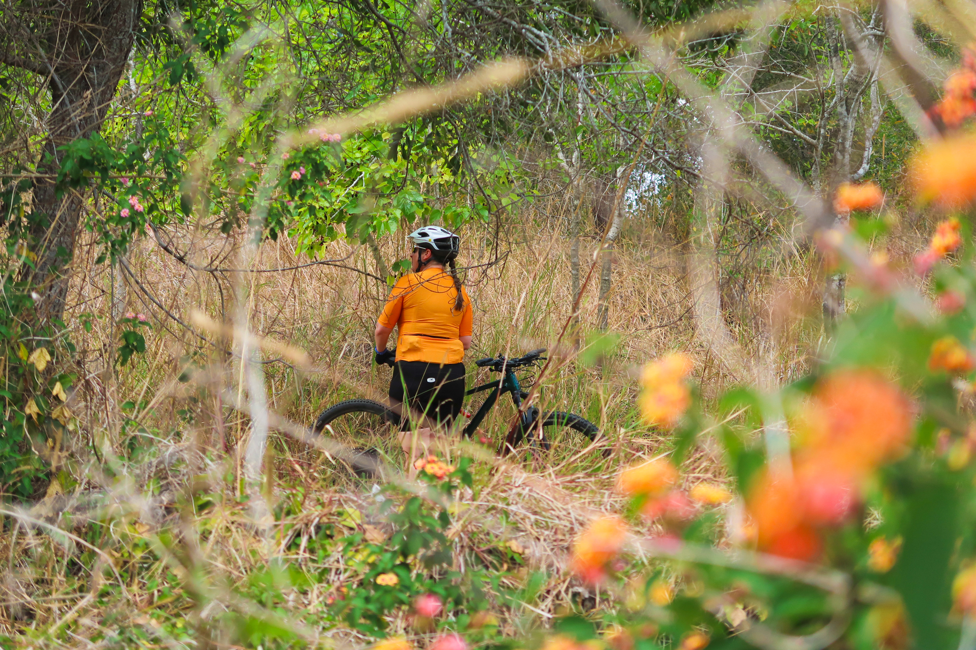
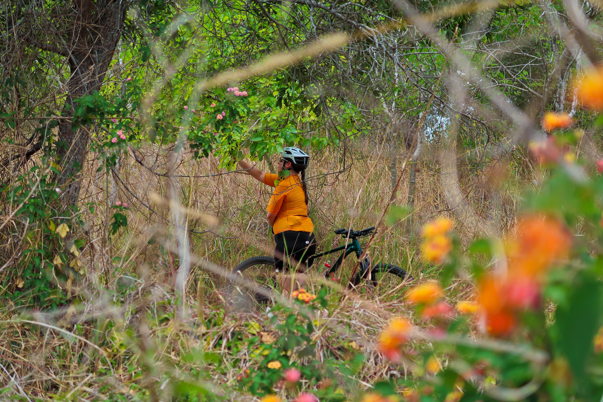
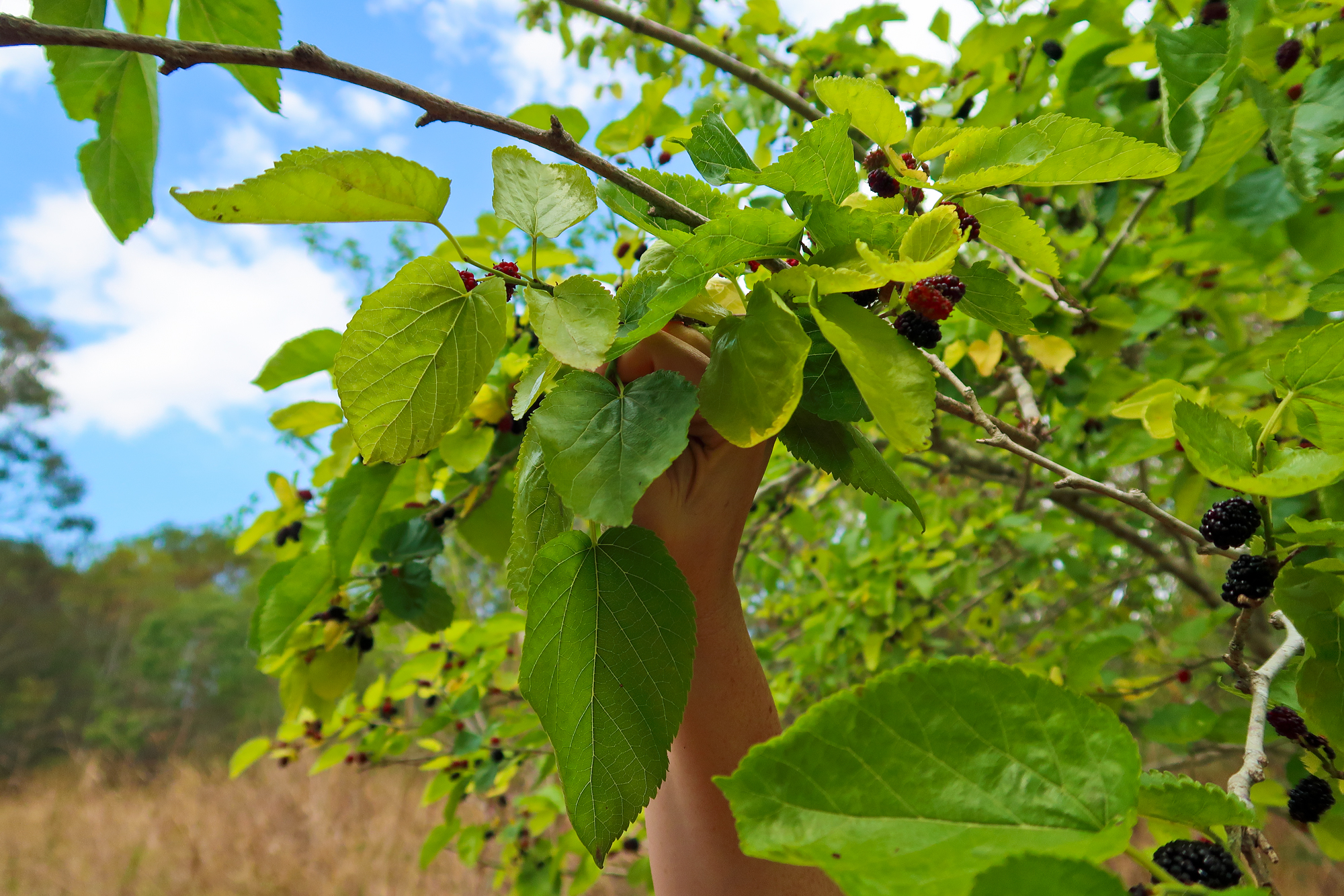
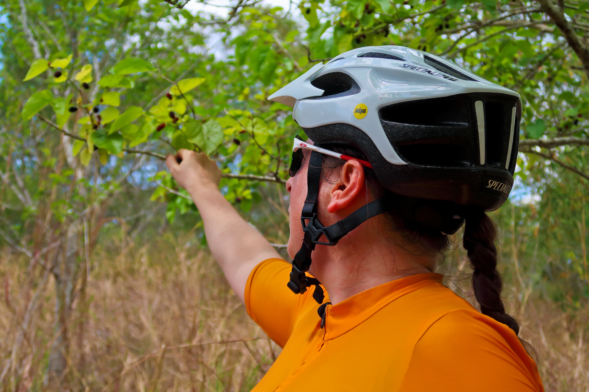
Still eating the berries
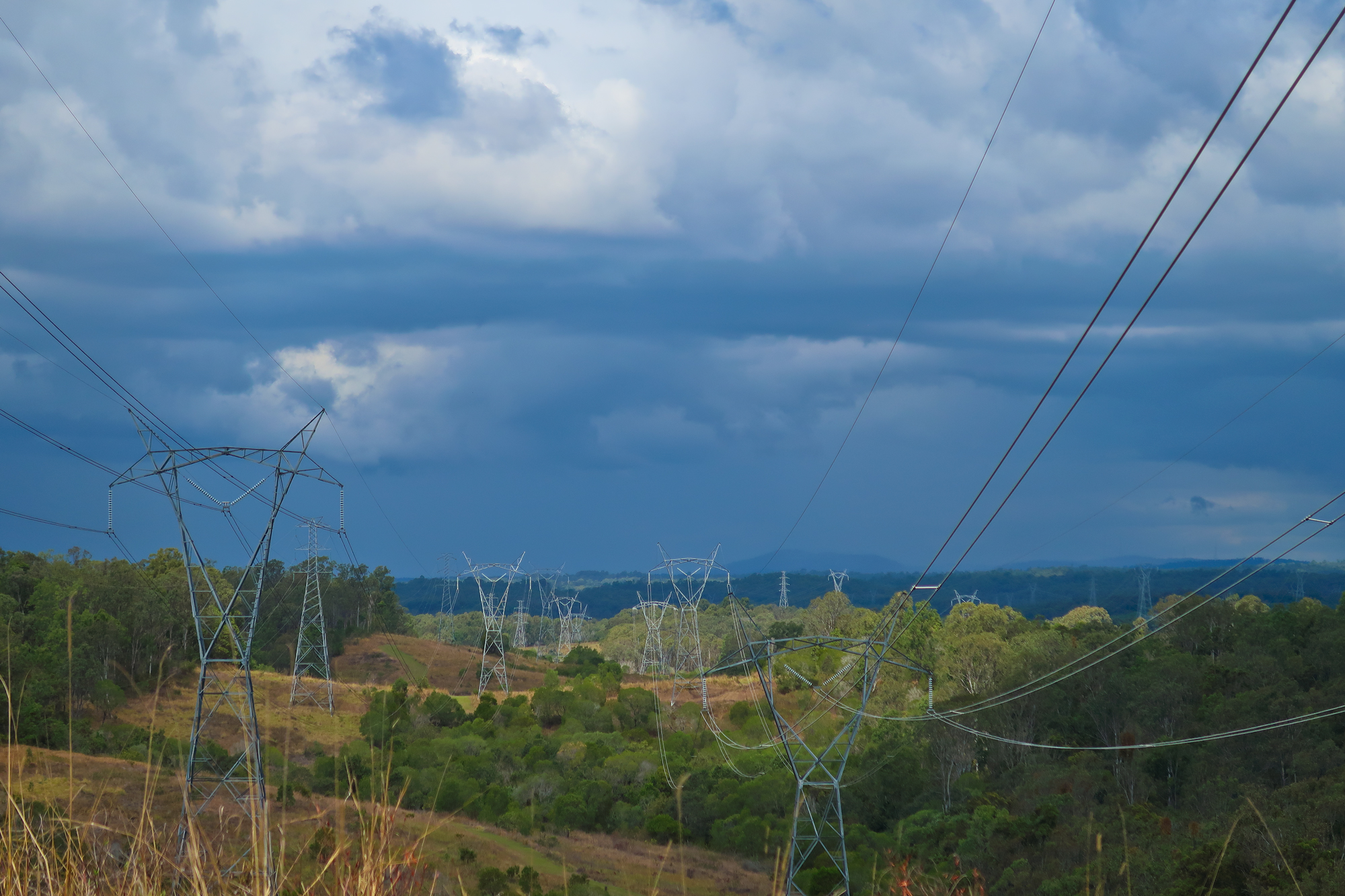
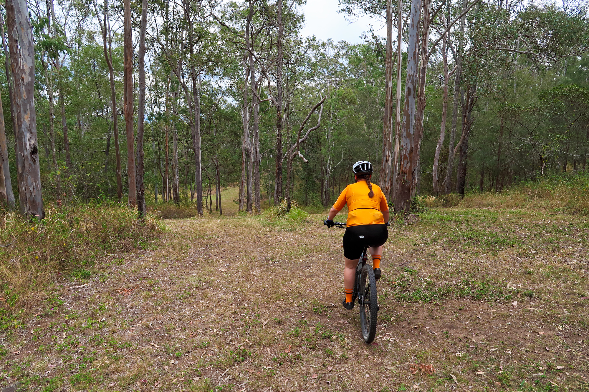
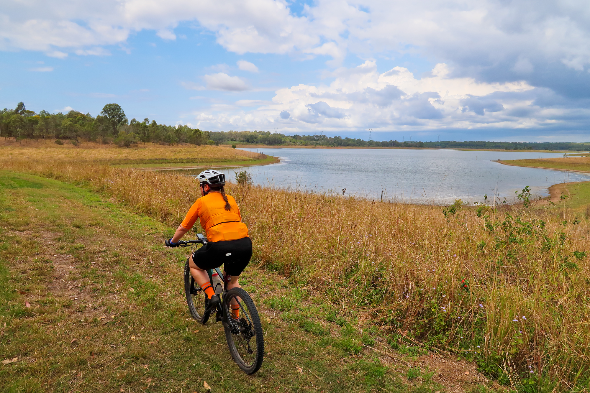
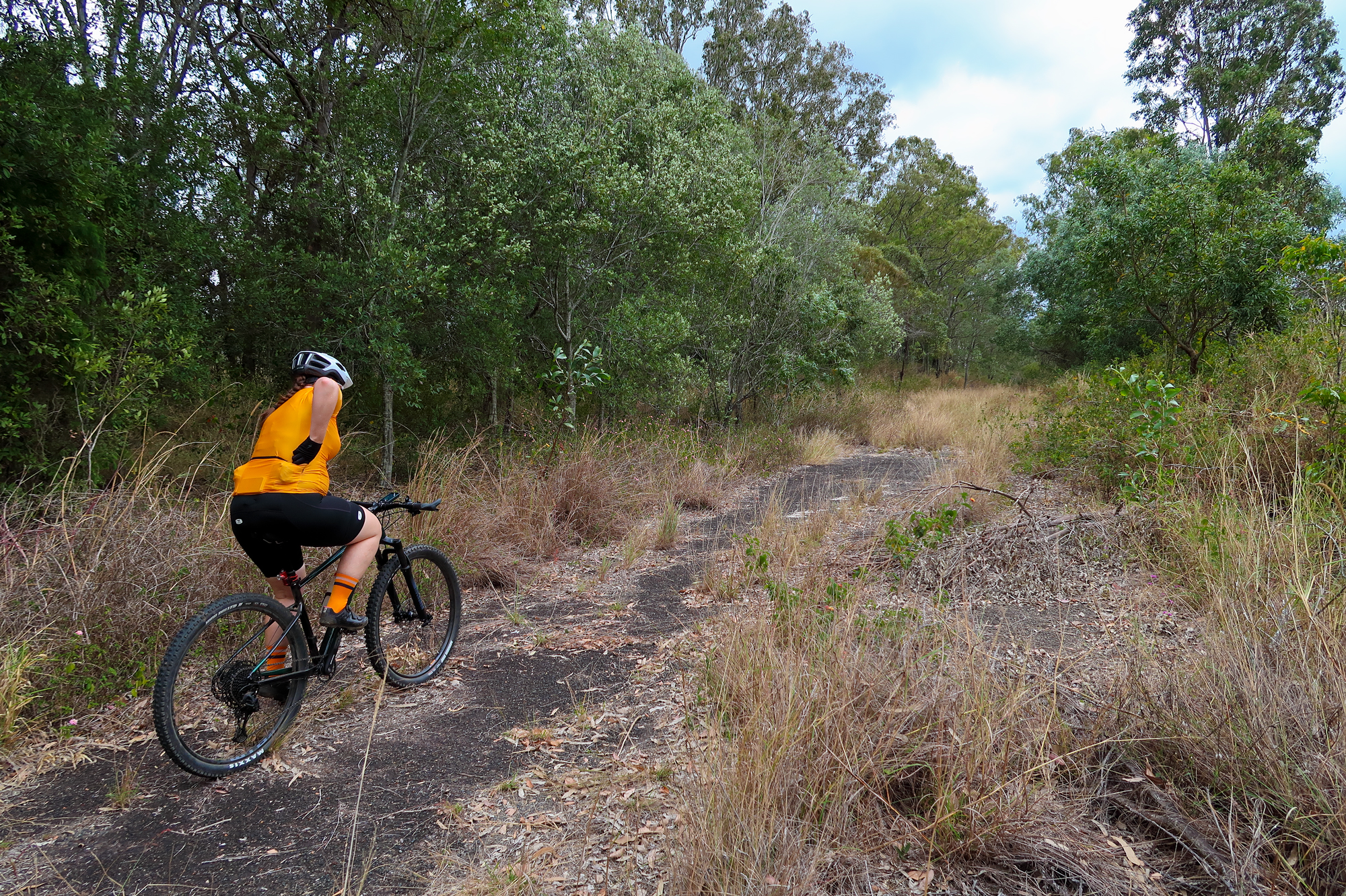
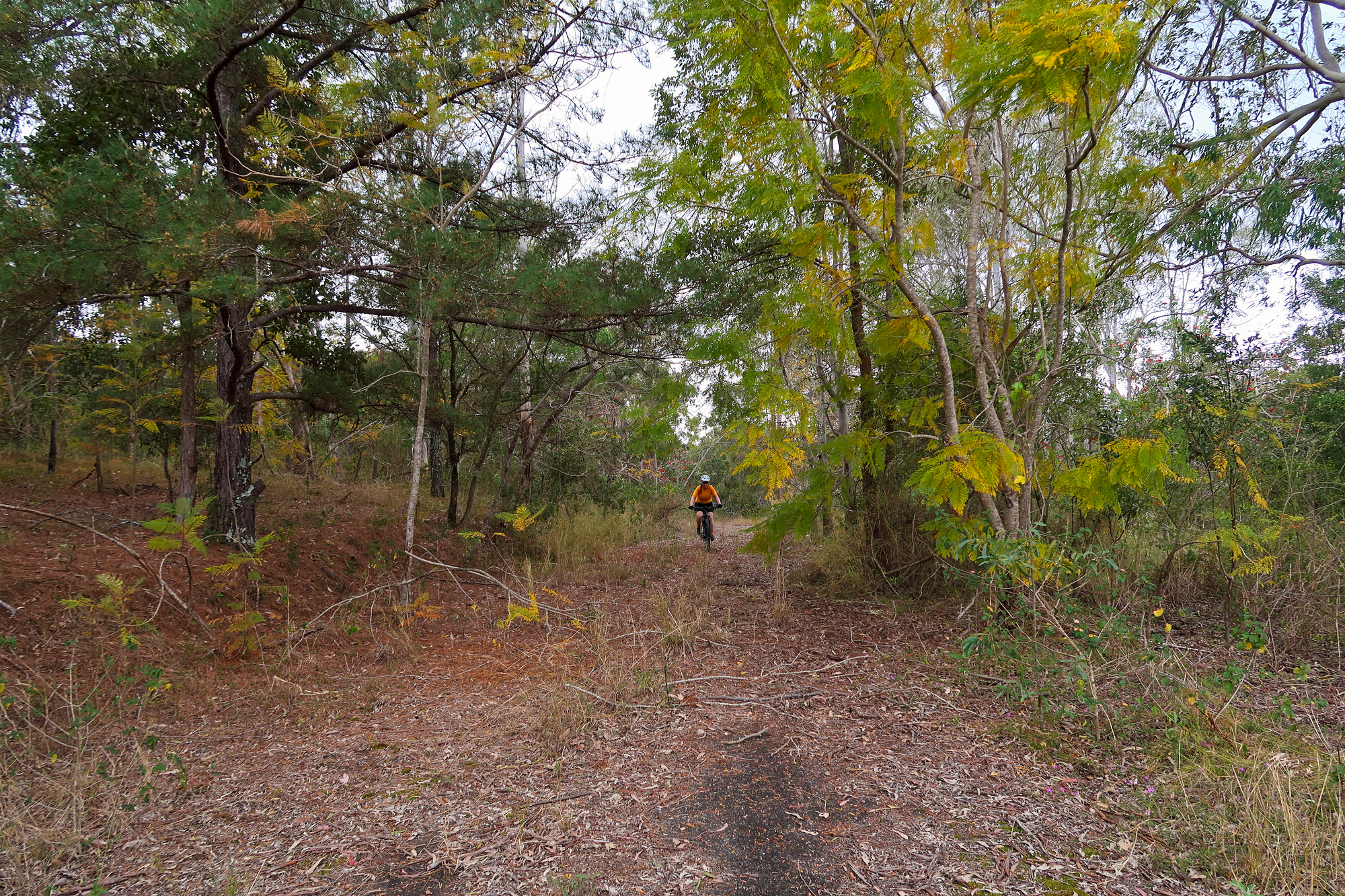
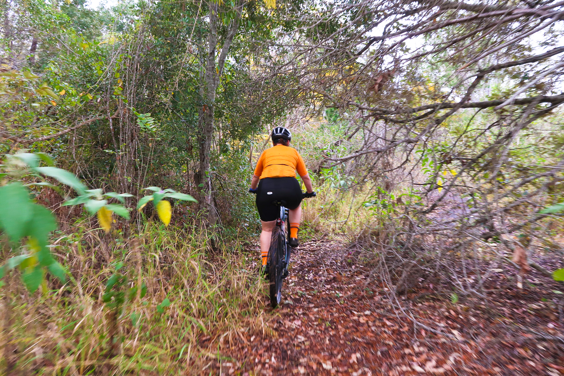
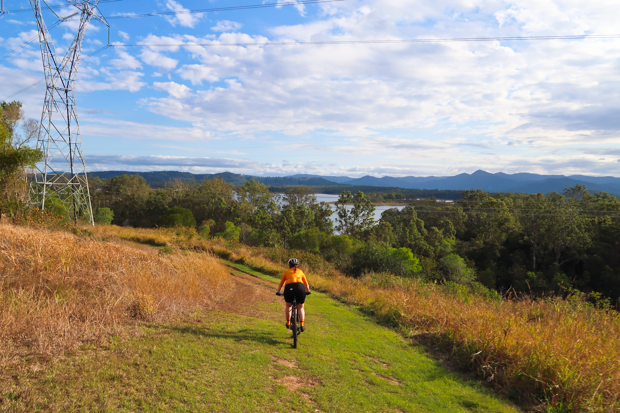
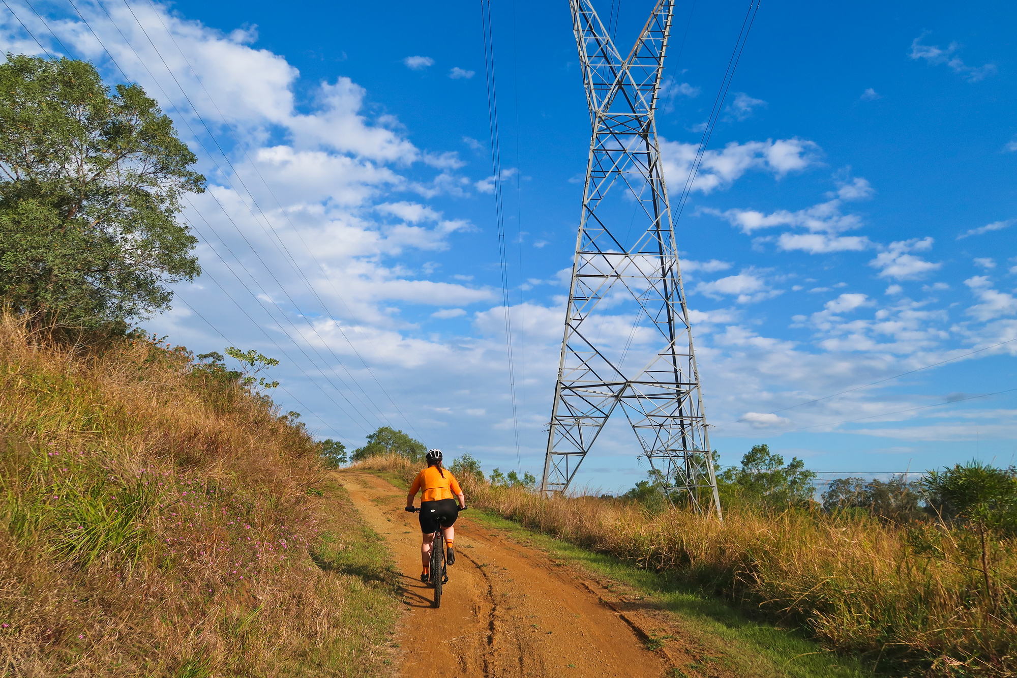
The zig zagging trails under neath the powerlines.
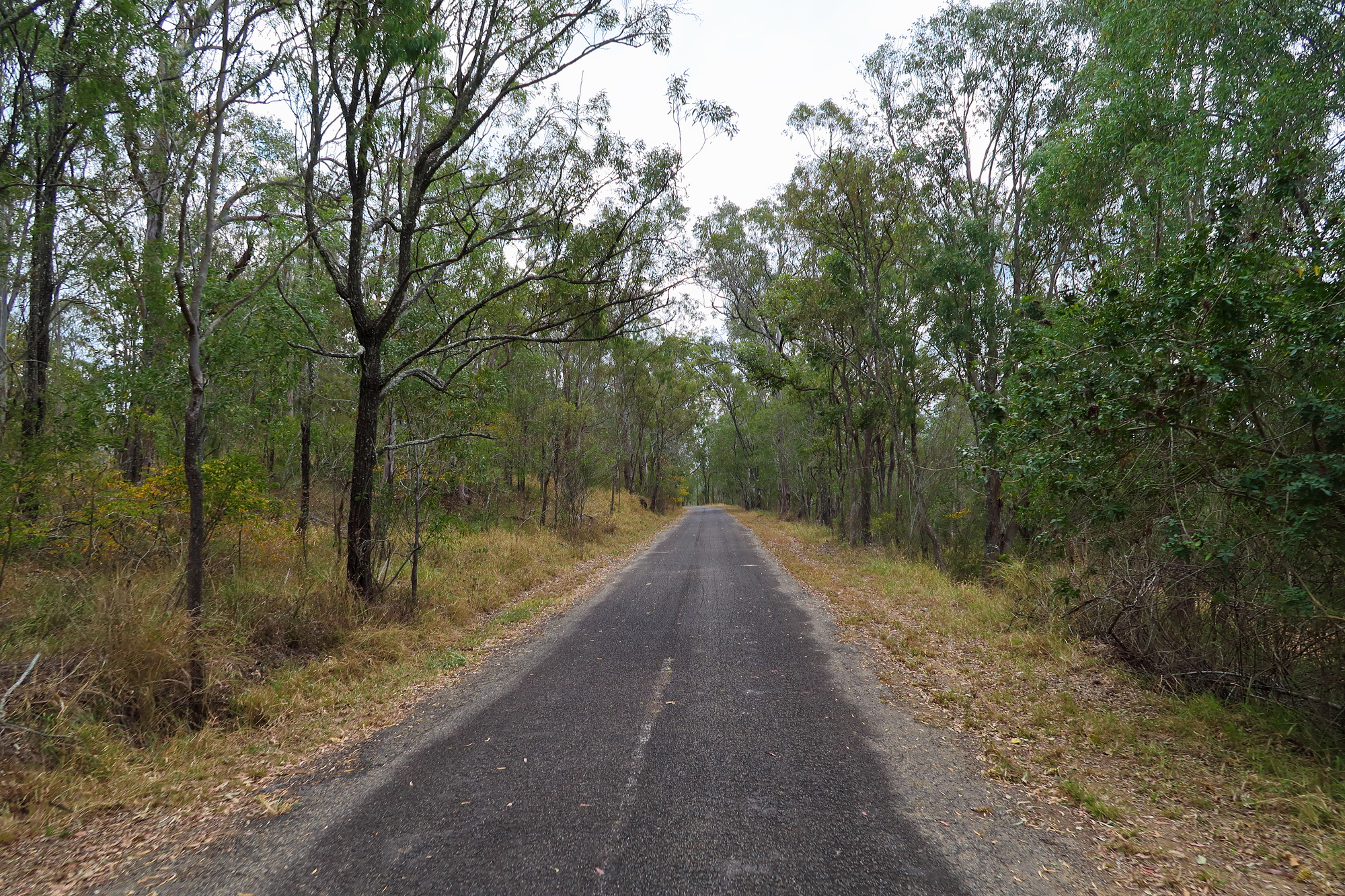
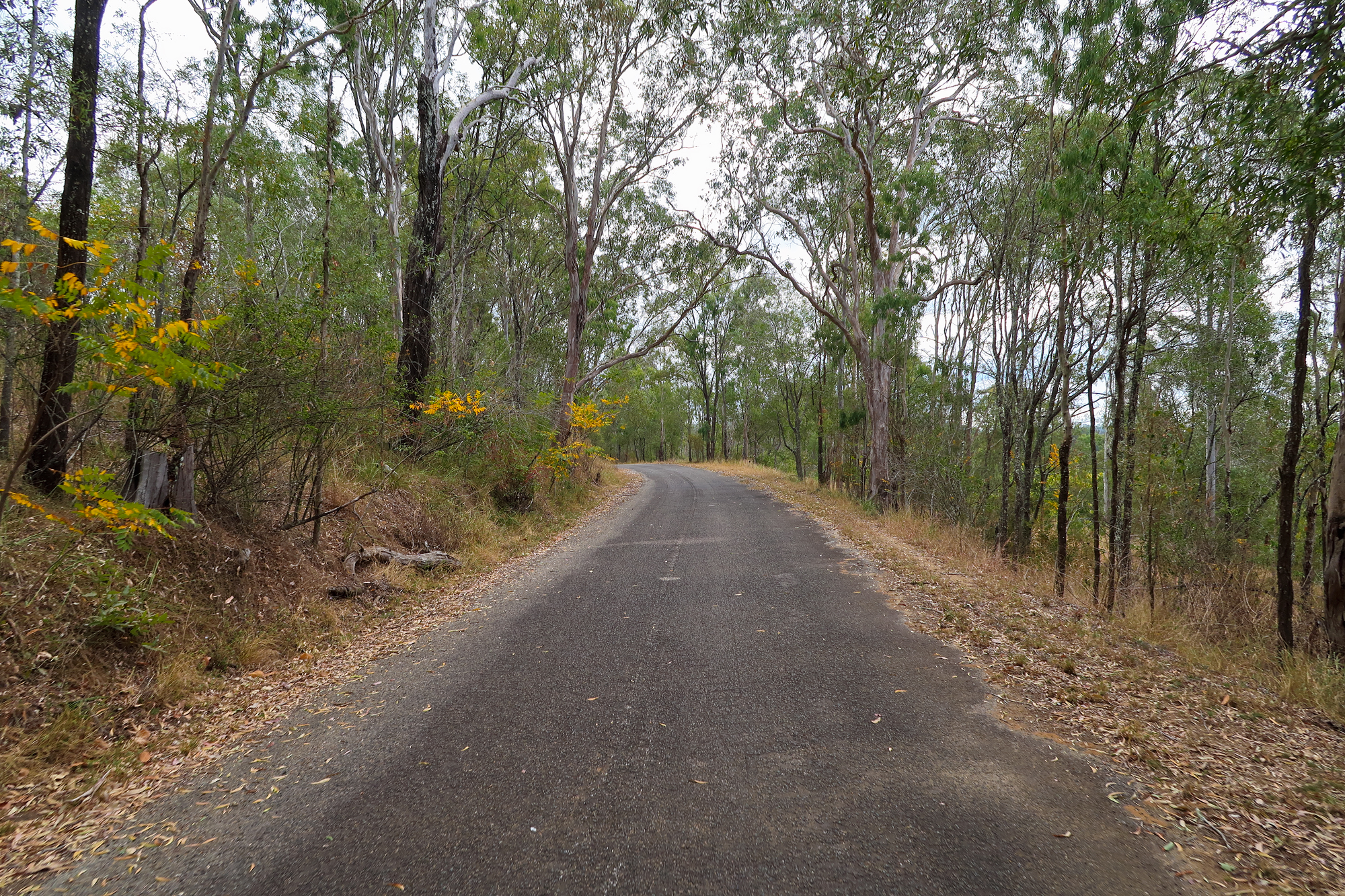
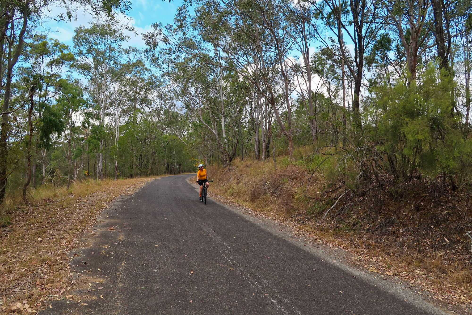
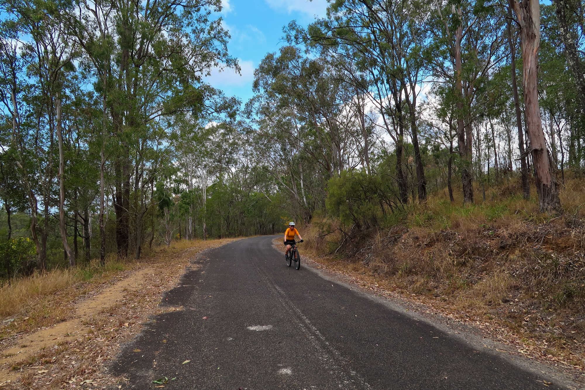
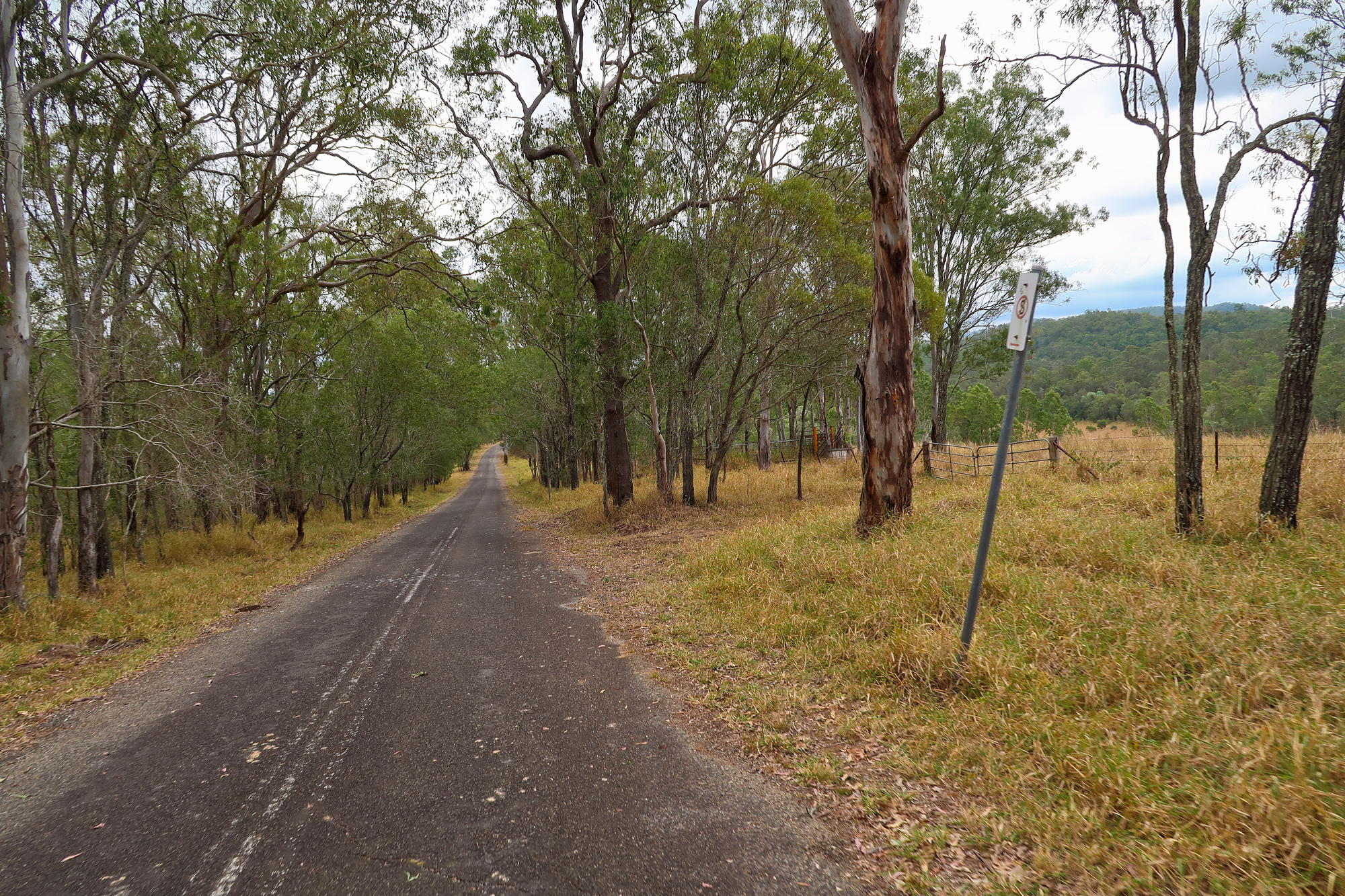
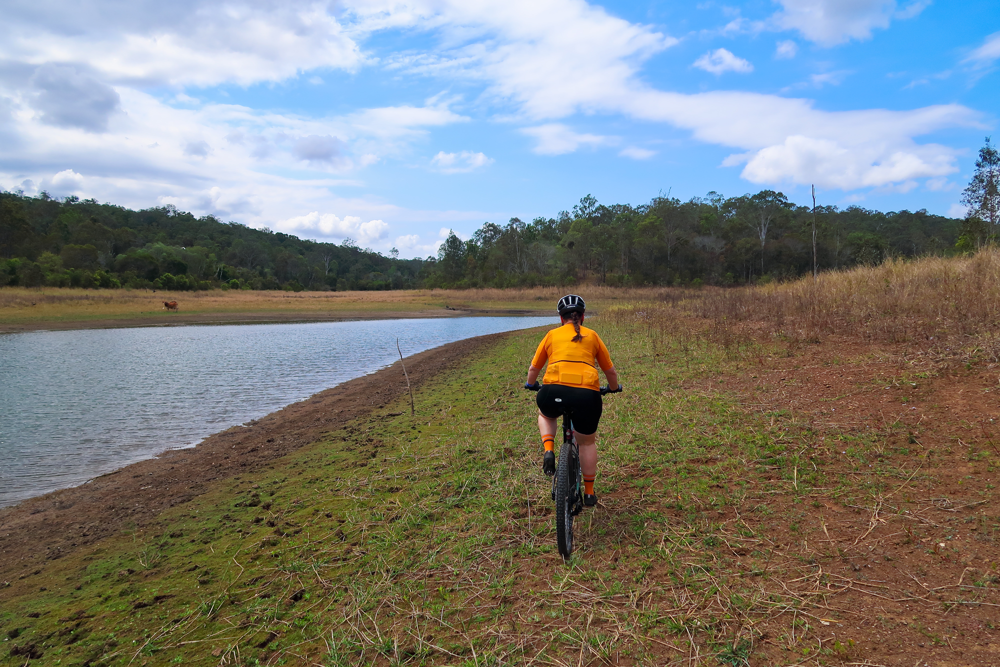
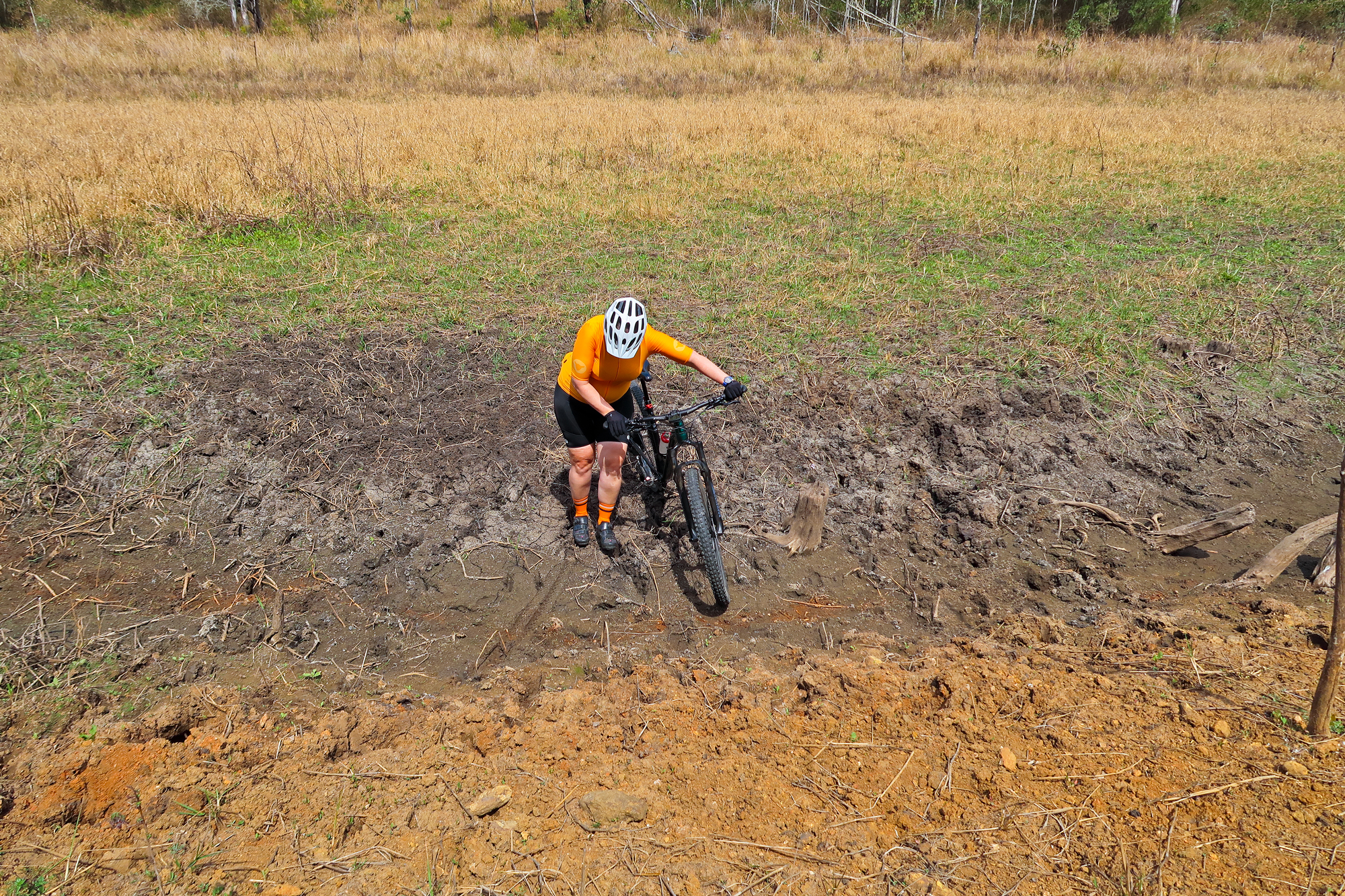
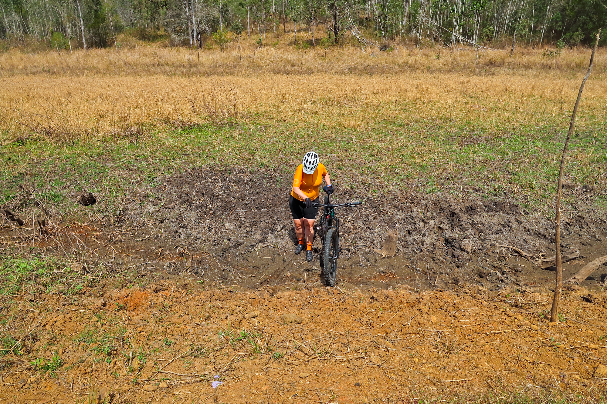
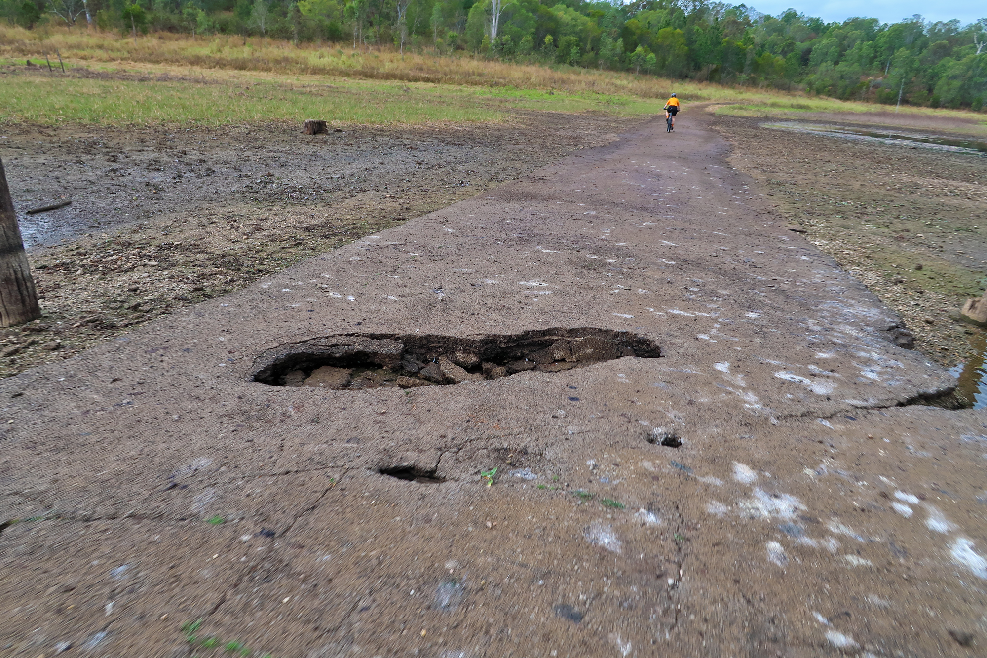
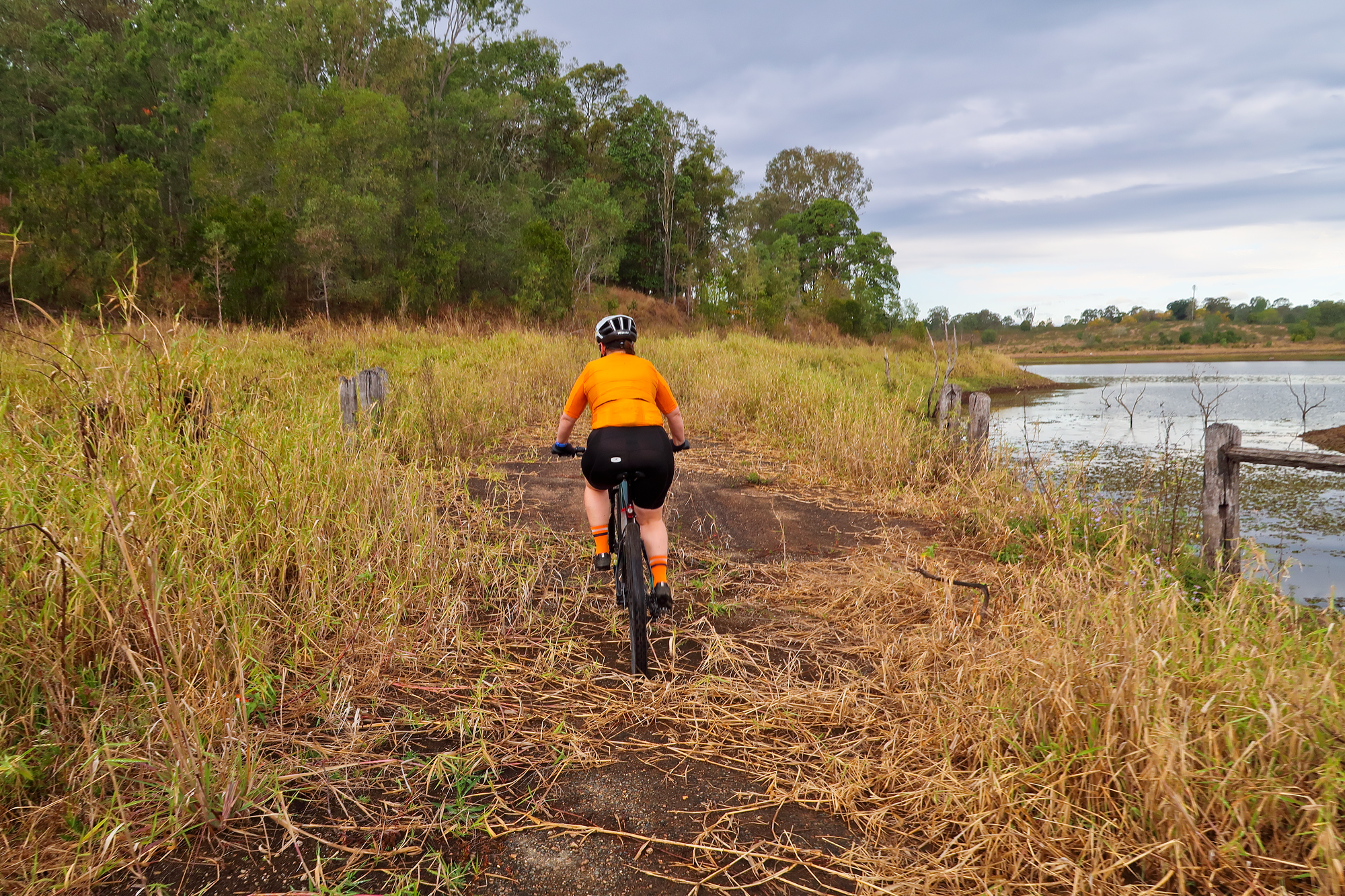
After Bronwyn finished eating all the berries we started zig zagging along under the power lines back up to what used to be the old road out to Dayboro before it was resumed for the lake and dam. Towards the end Bronwyn was a bit tired and walked up the last of the steep sections to the road. From there it was a gentle descent past the quarry all the way until we reached the water that now forms a boat ramp.
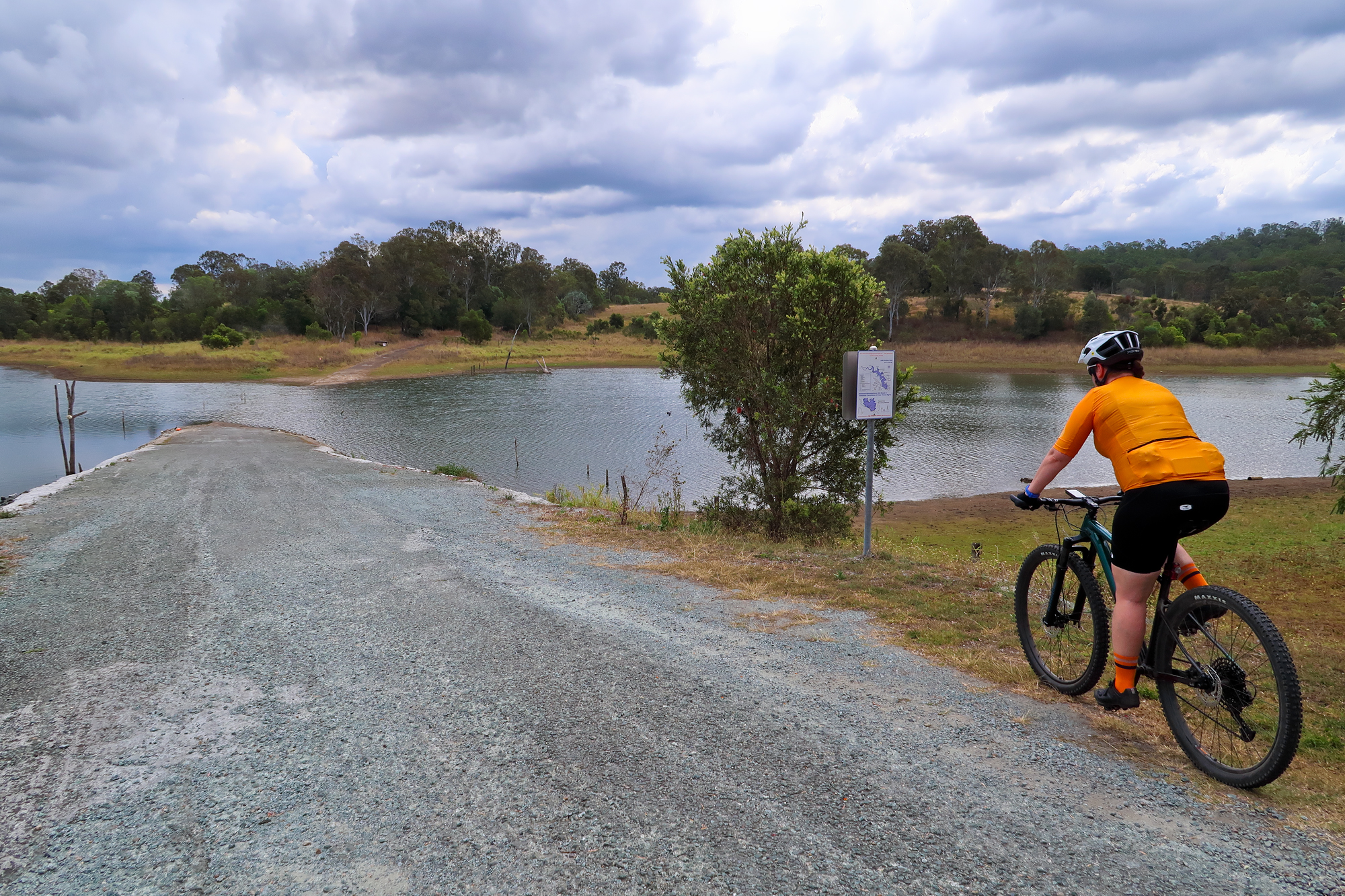
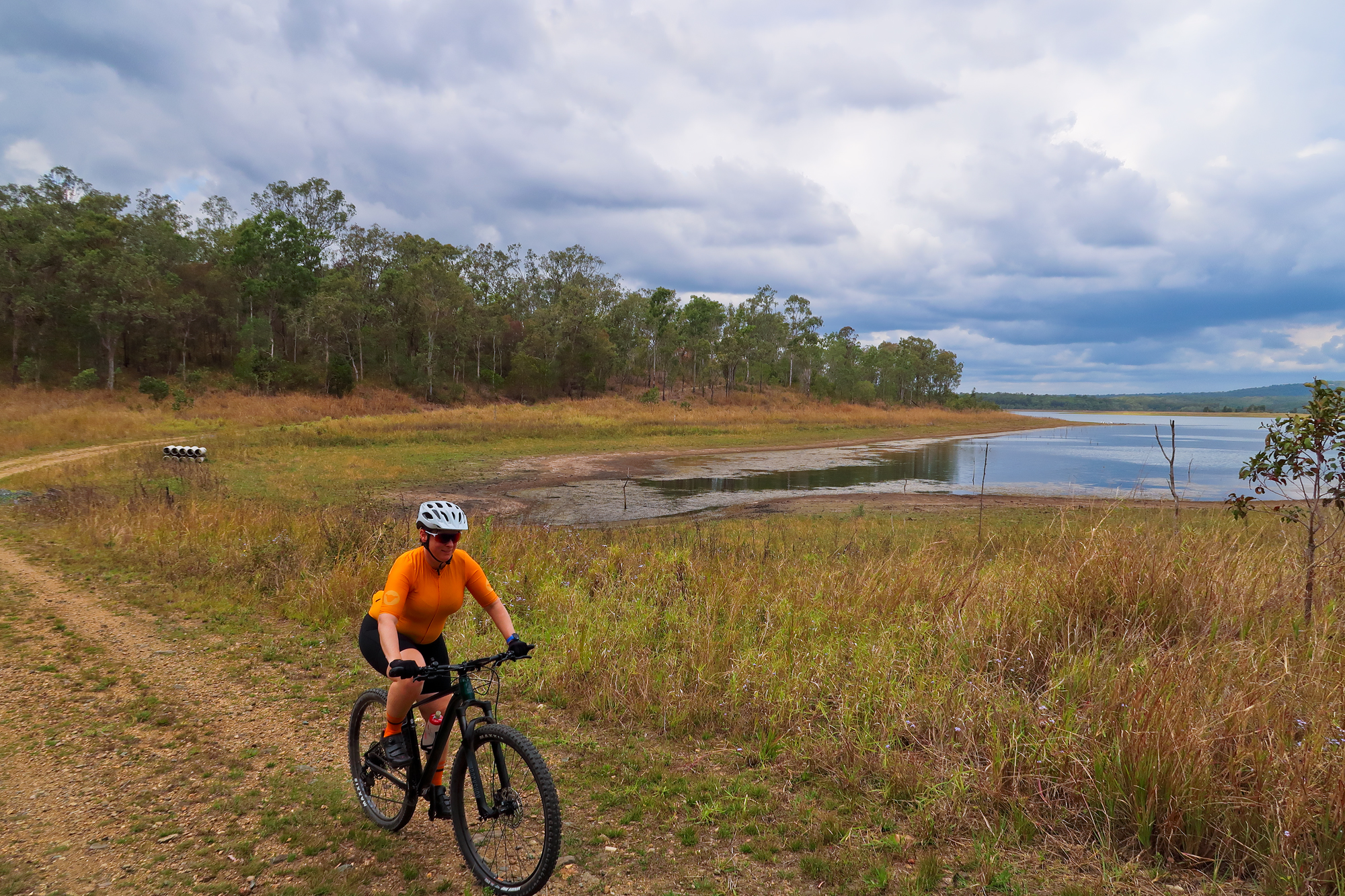
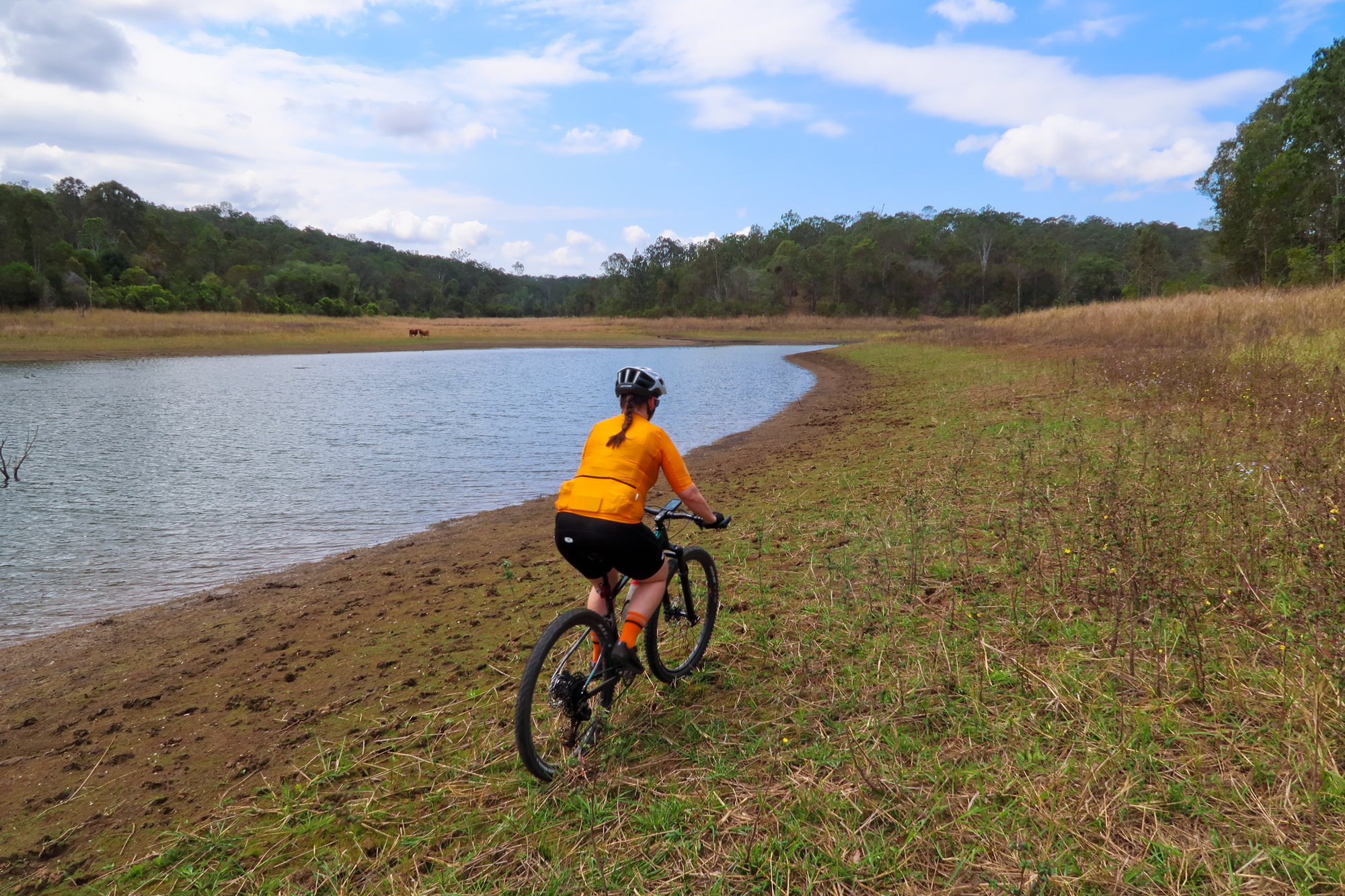
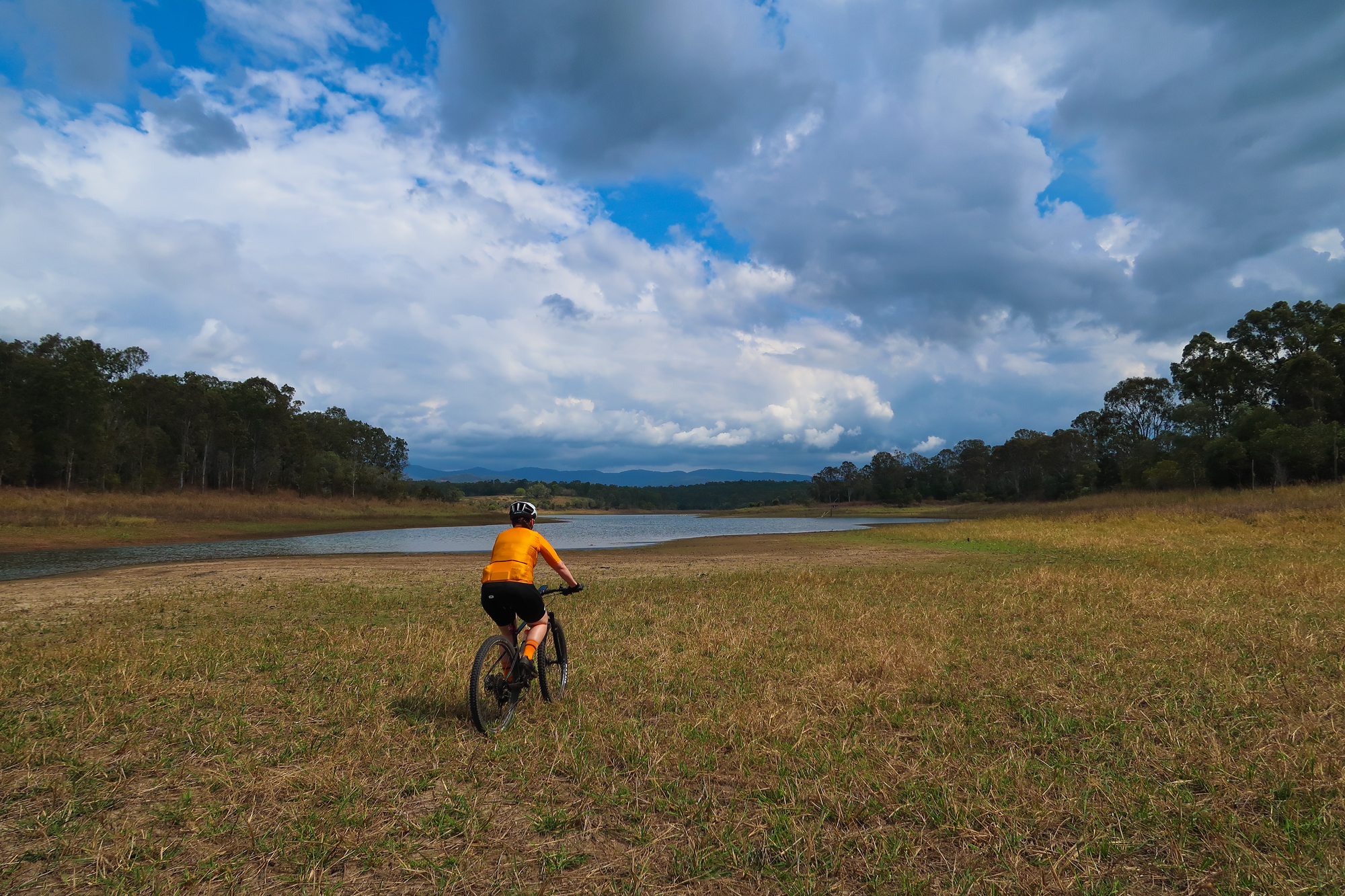
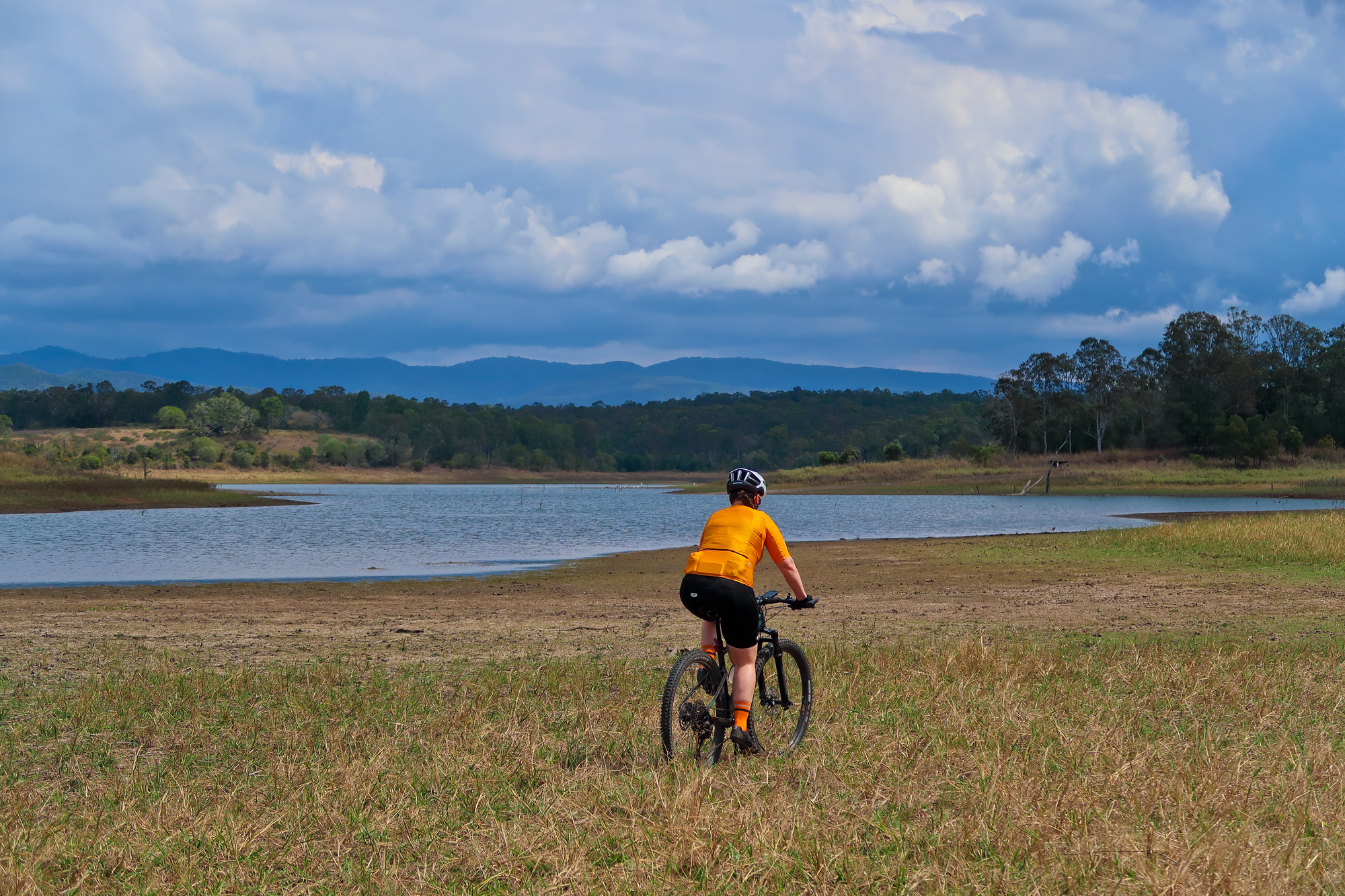
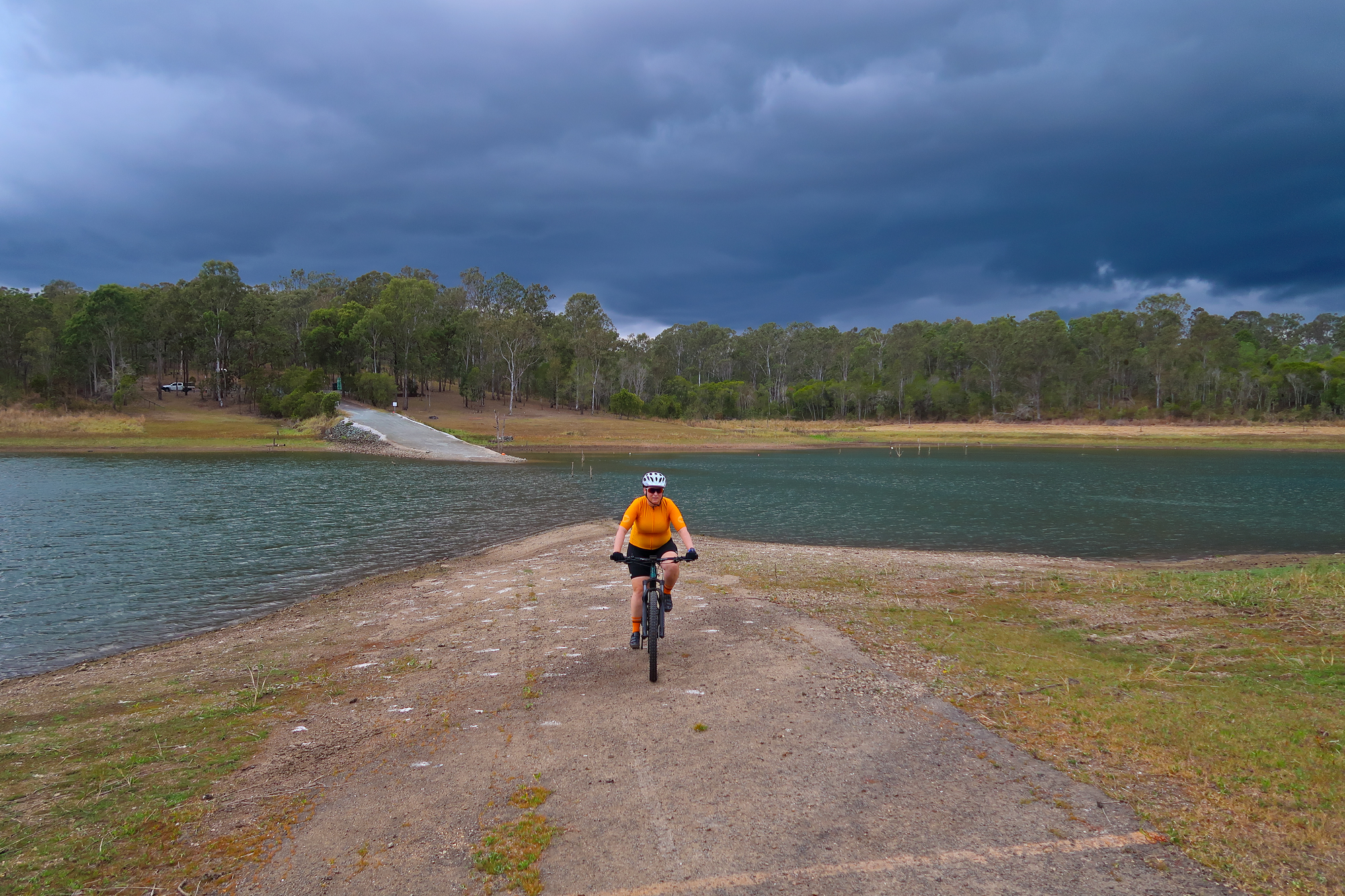
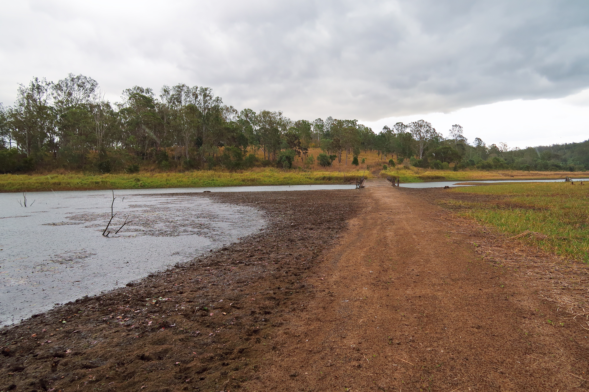
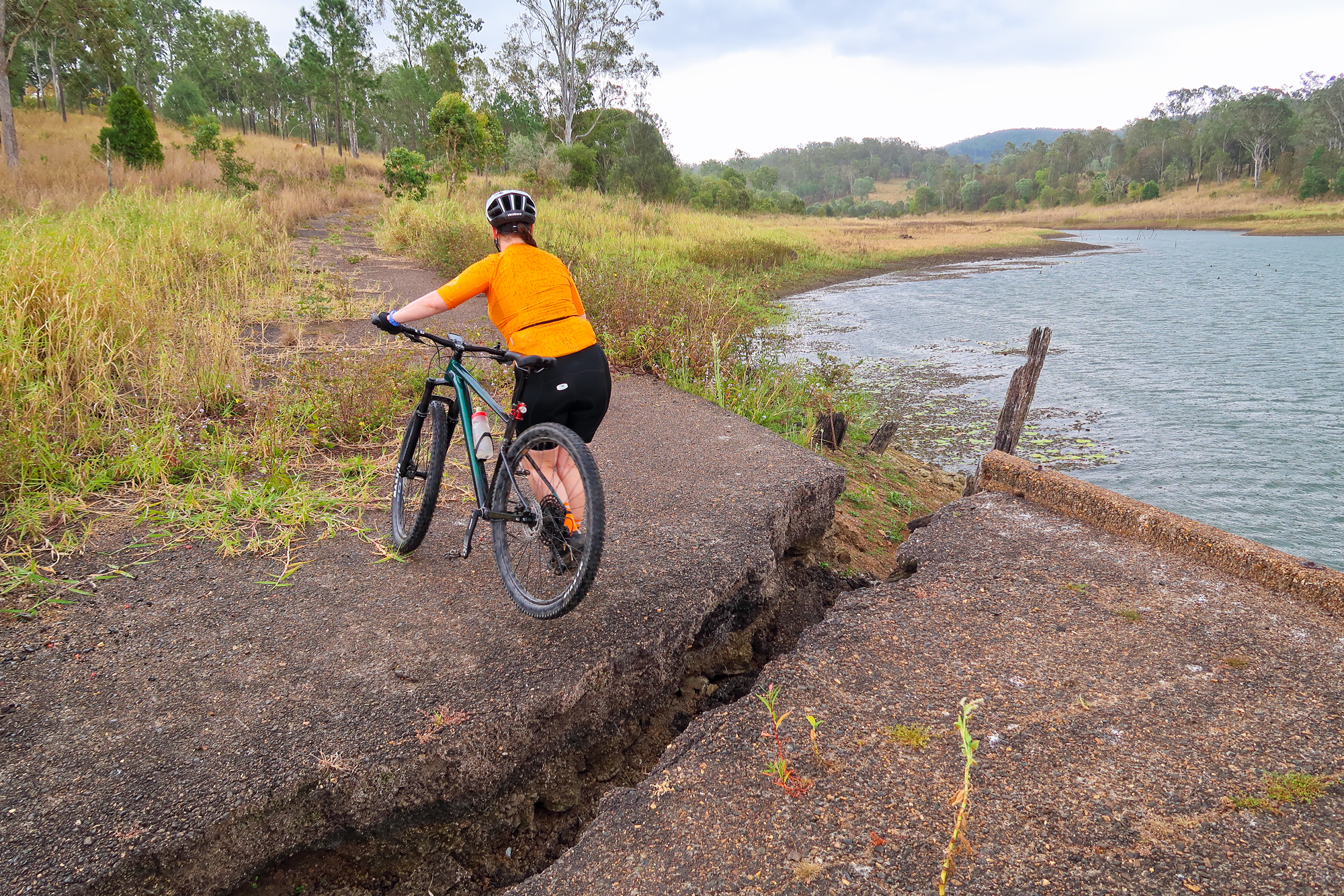
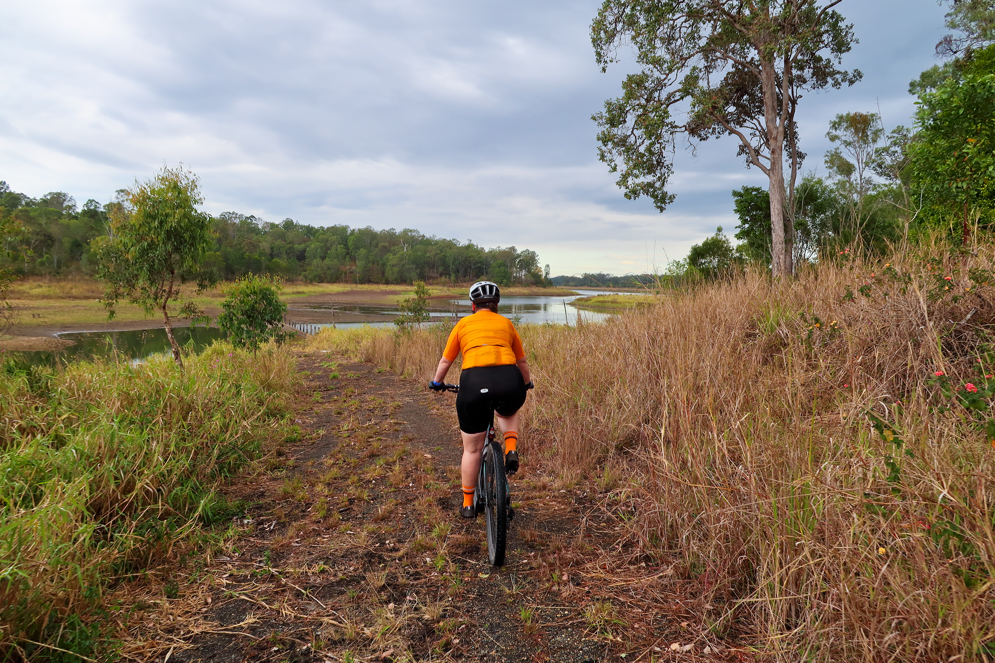
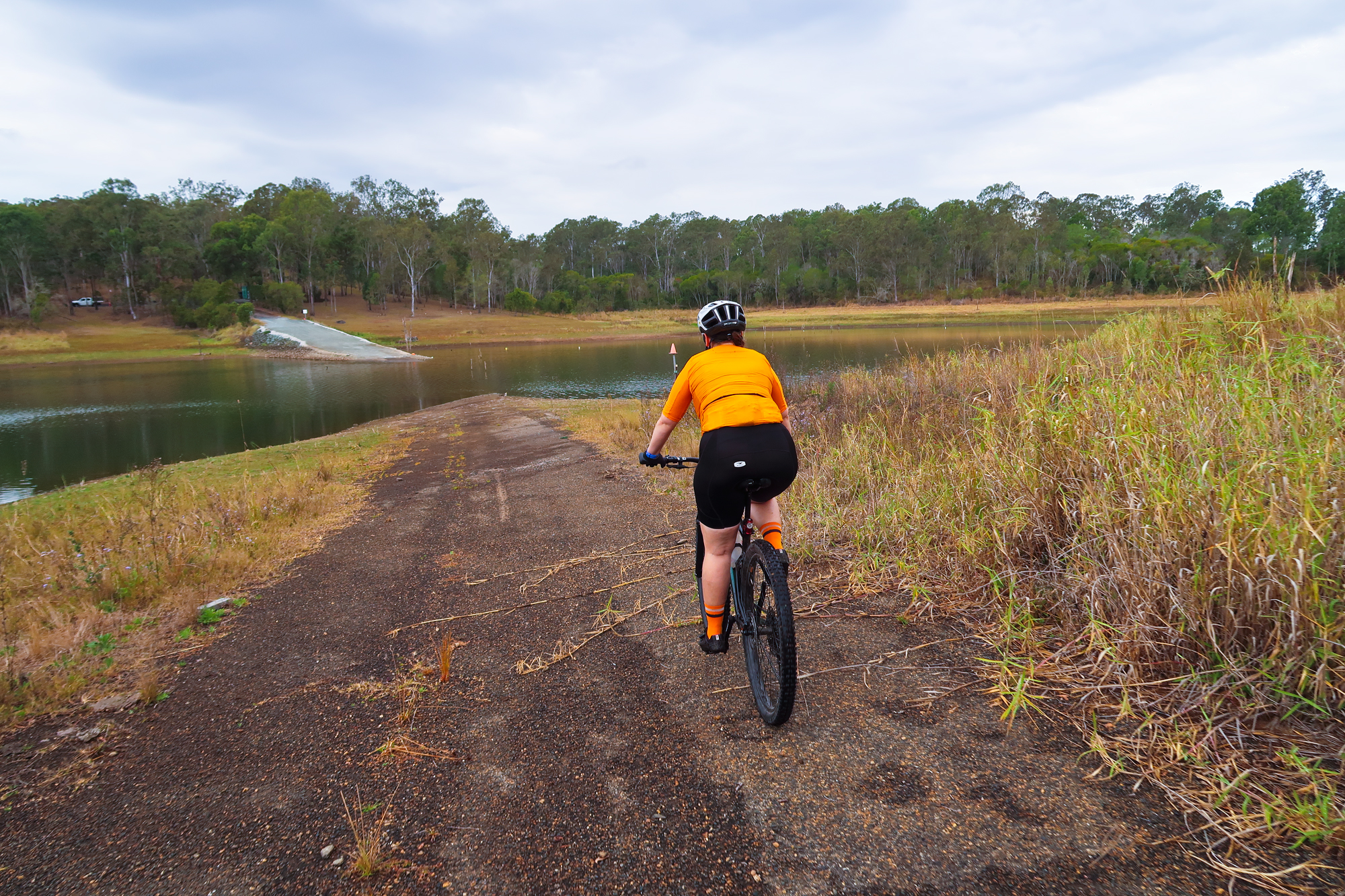
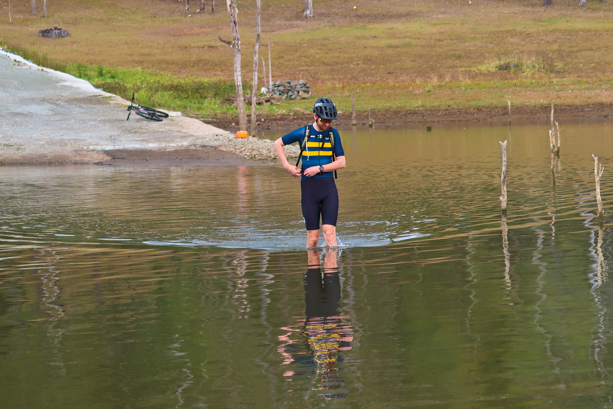
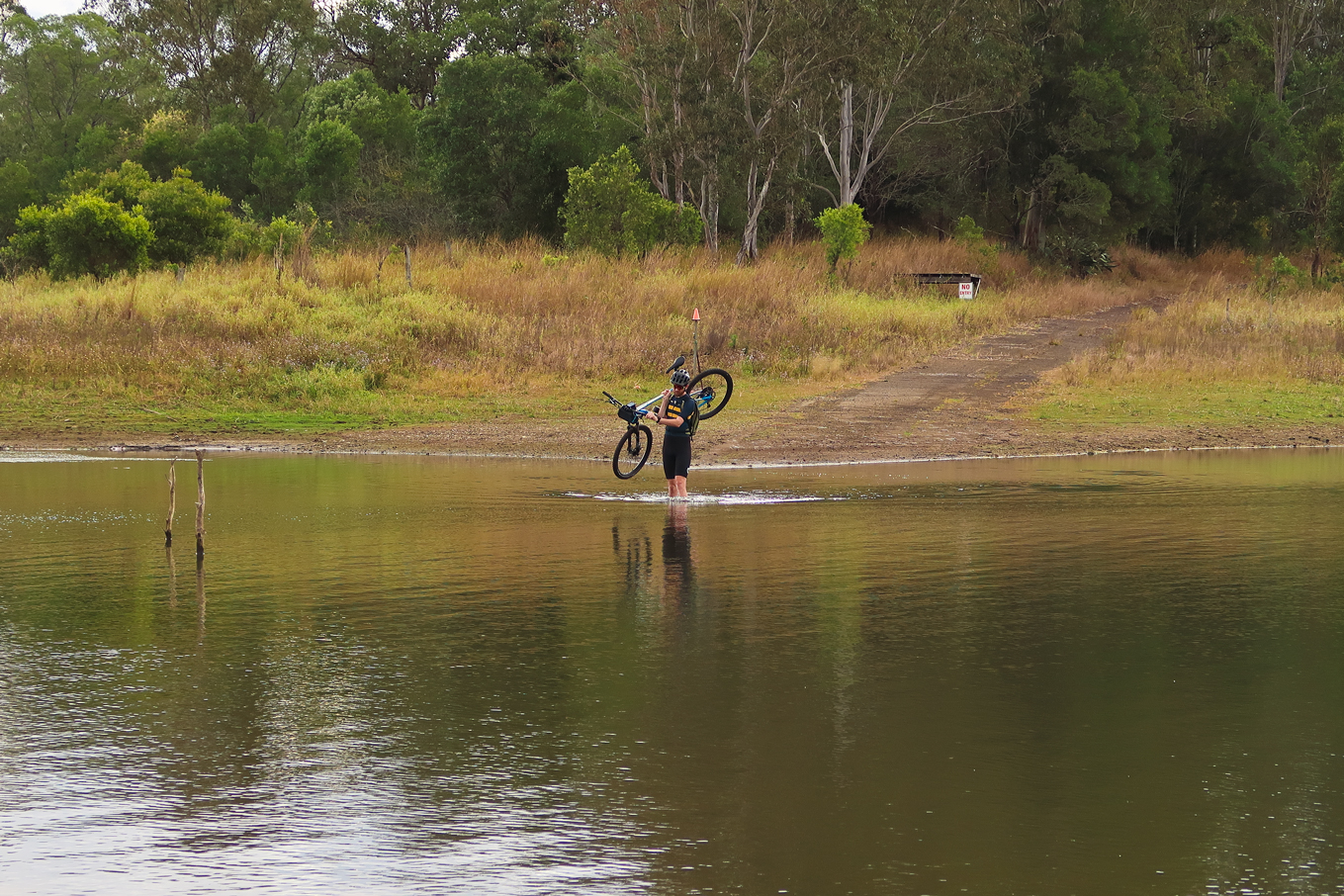
The water level here is a good 1.6-2m lower than what it normally is.
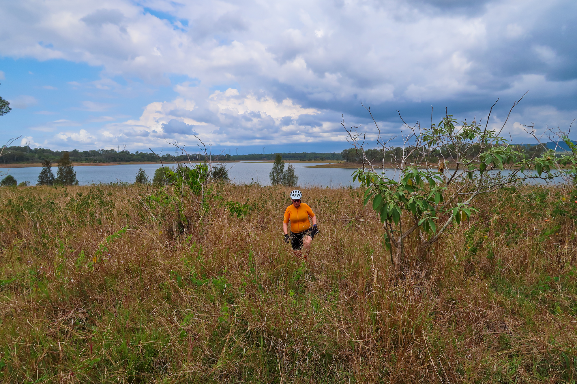
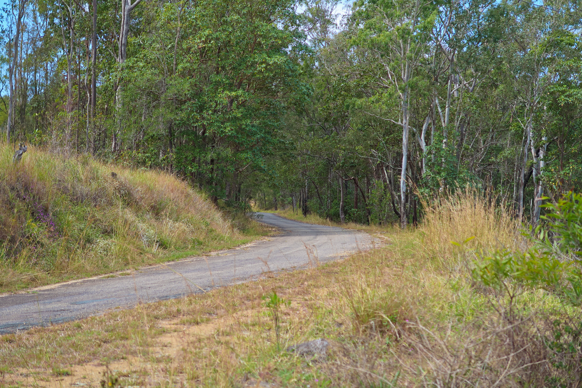
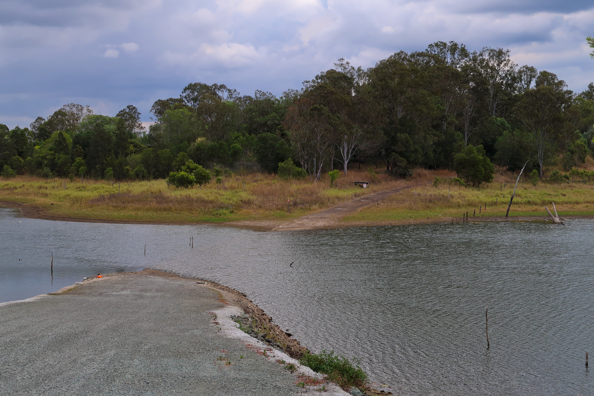
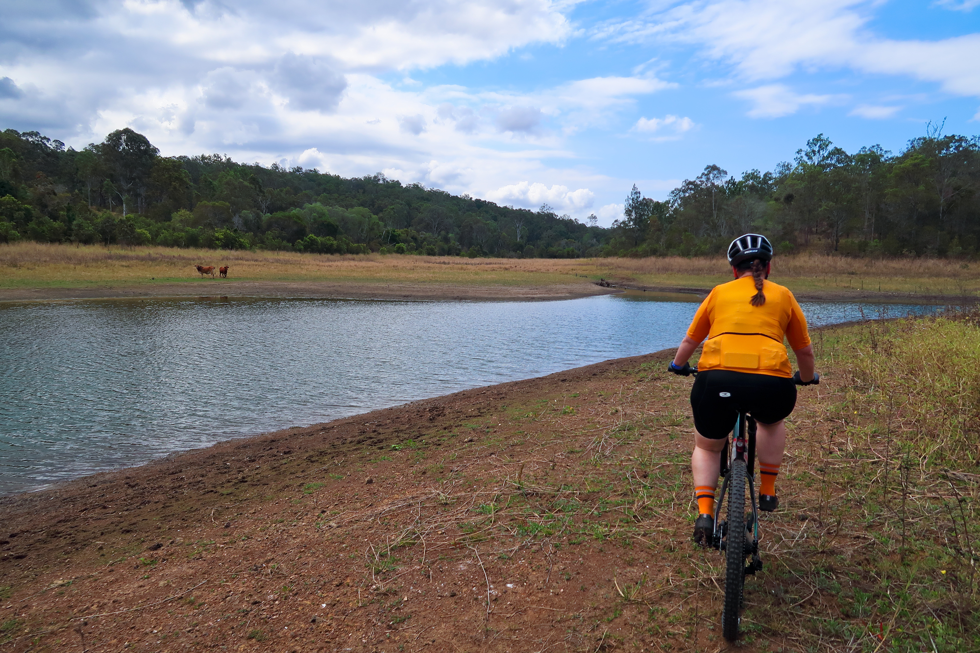
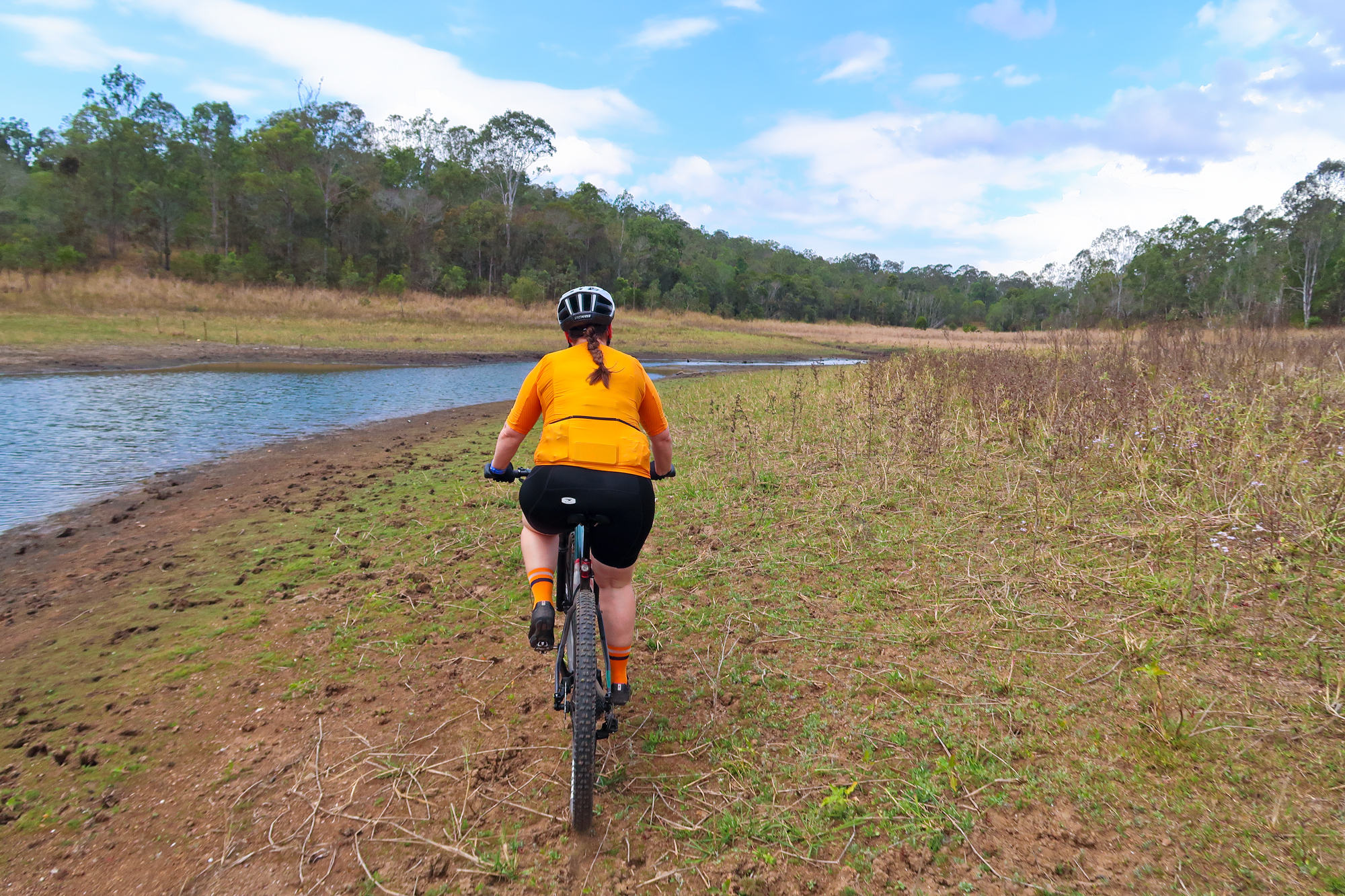
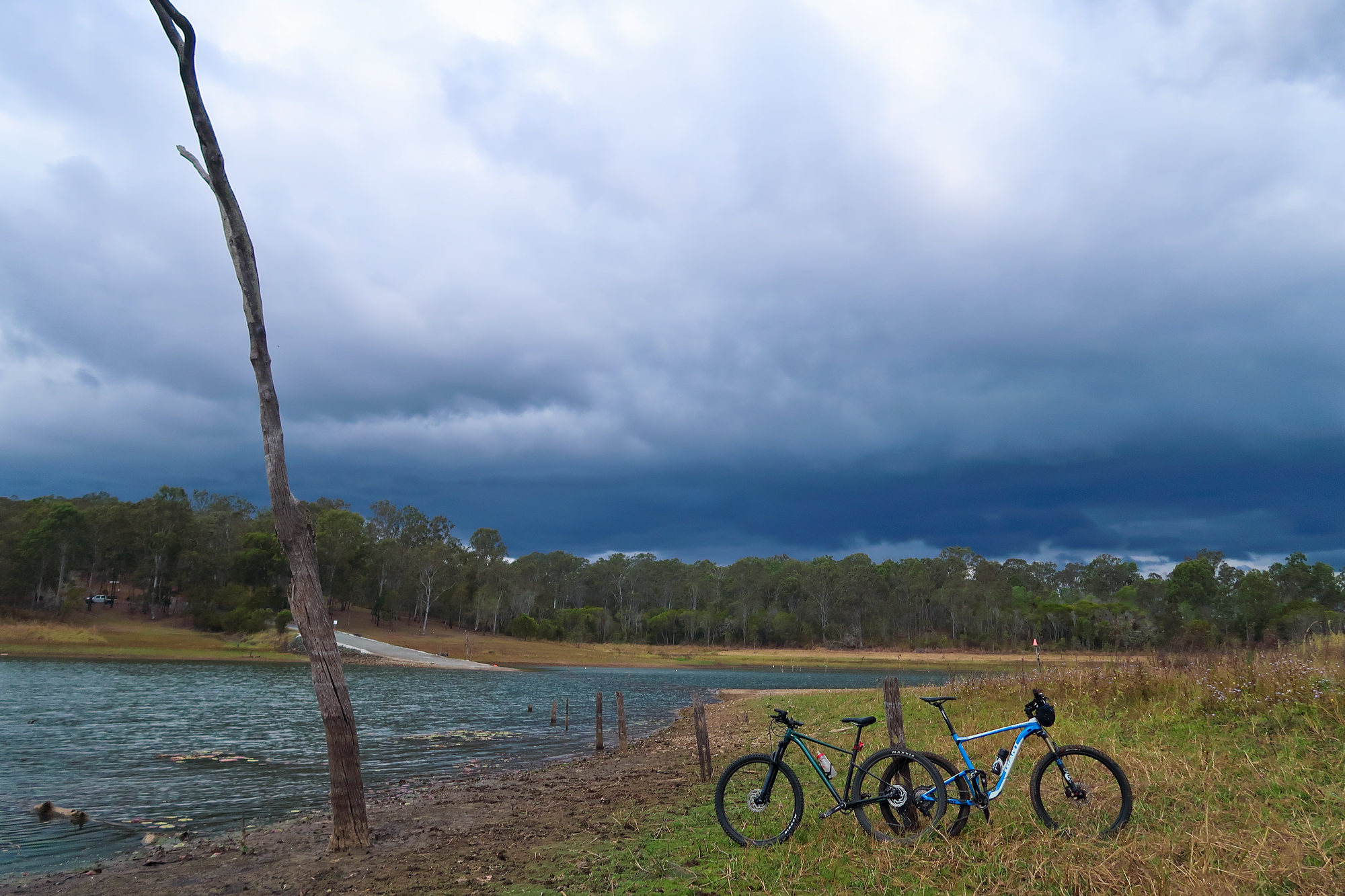
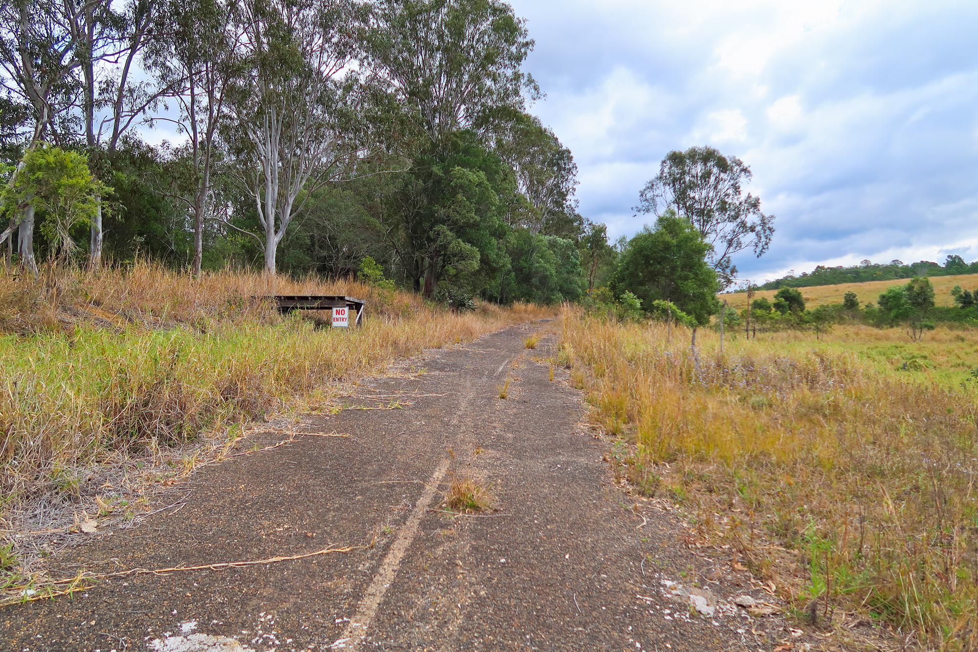
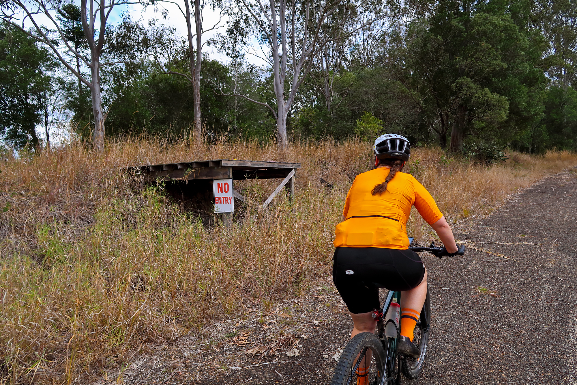
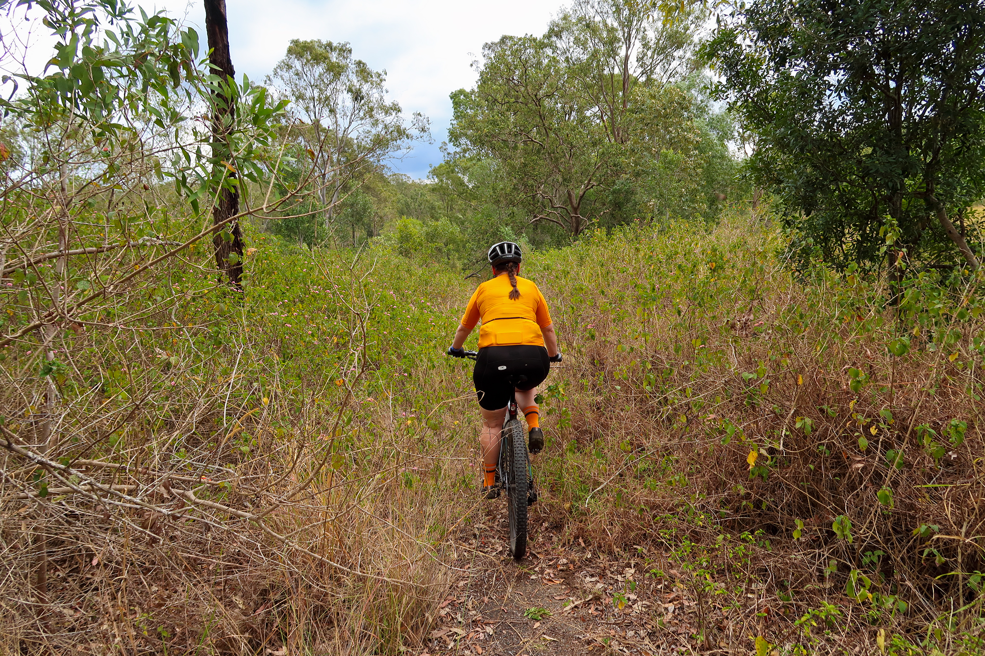
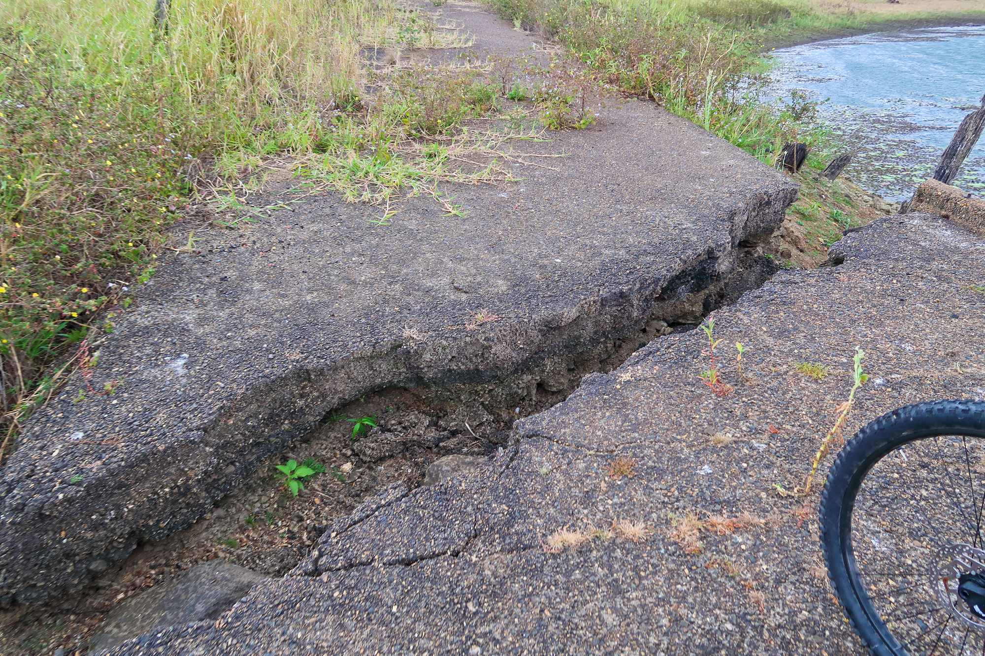
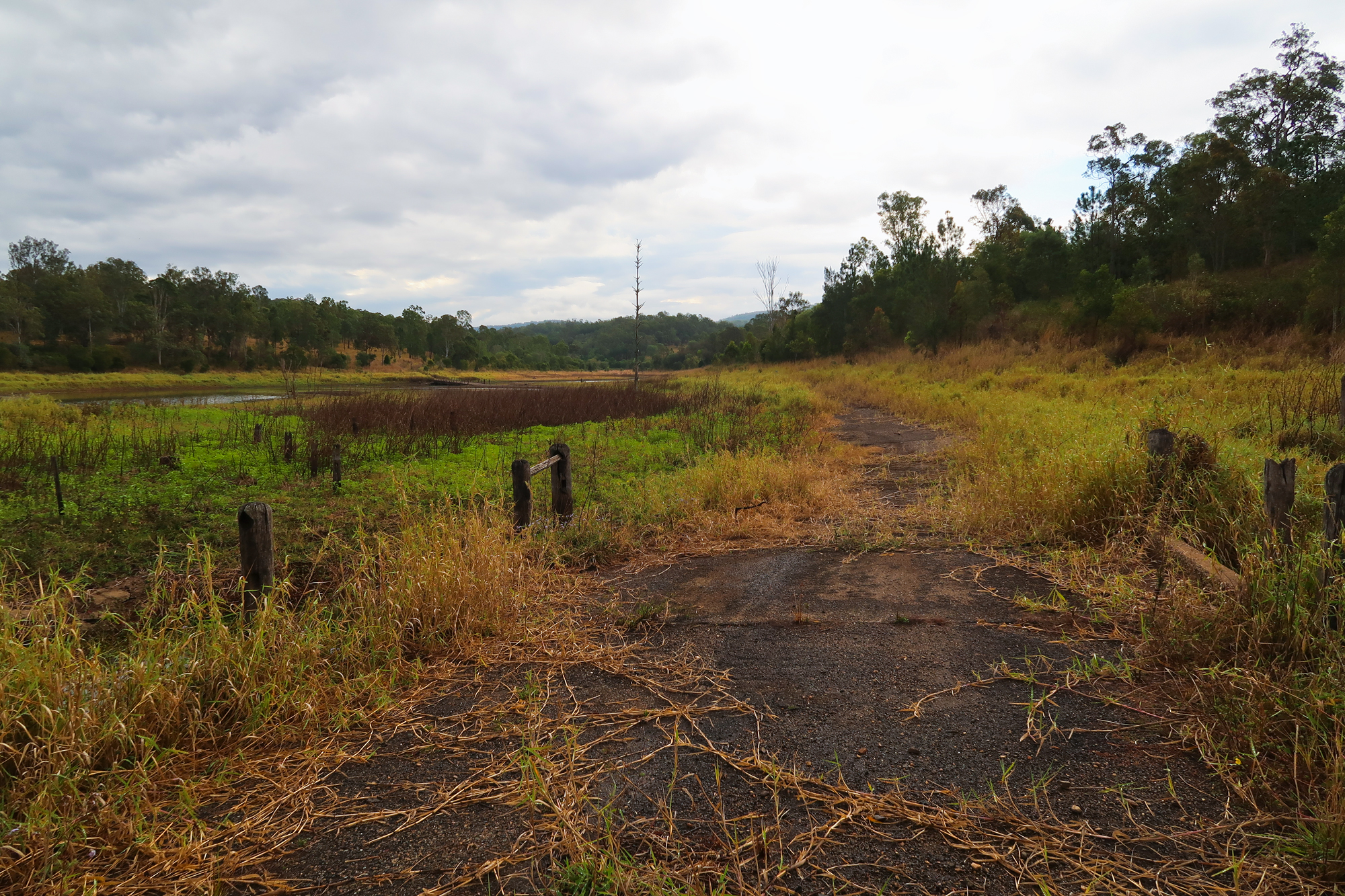
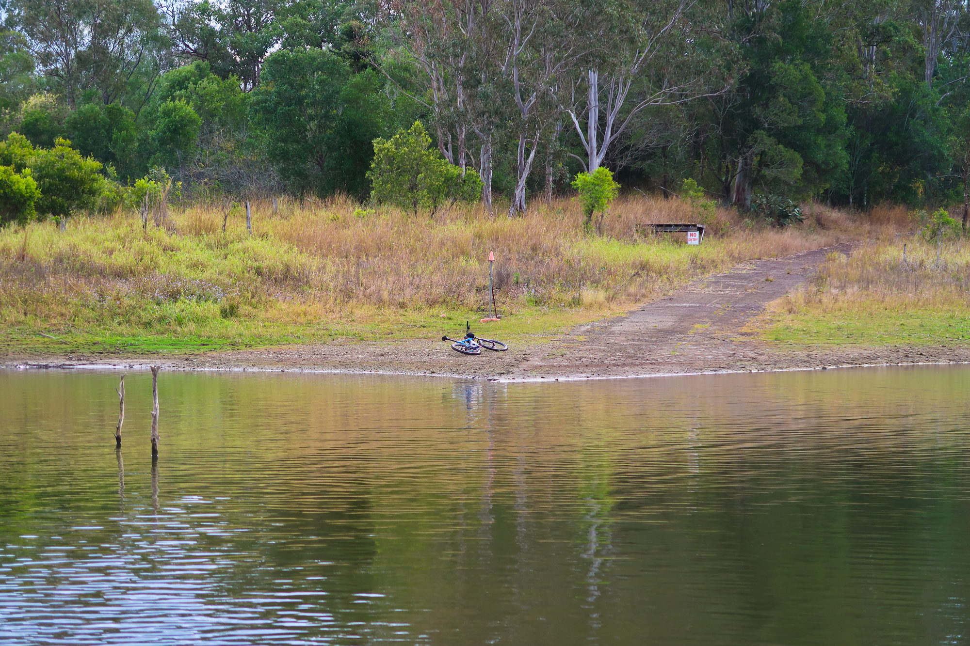
After a quick discussion we decided to venture around to the right side of the bank looking for an area where it was shallower or dry to cross over. Just around the corner was a small section that was muddy but firm allowing us to cross over. As we were riding back towards the old road that’s when we got our first proper glance at the storm that was coming towards us. We found an old fence post, got a few photos and then continued on our trip. We came across a no entry sign which was strange considering this particular section of land was still part of SEQ water and more than likely was just a deterrent to have people from continuing along the old road where the condition suddenly got a lot more worse with lantana, trees and weeds across the former road.
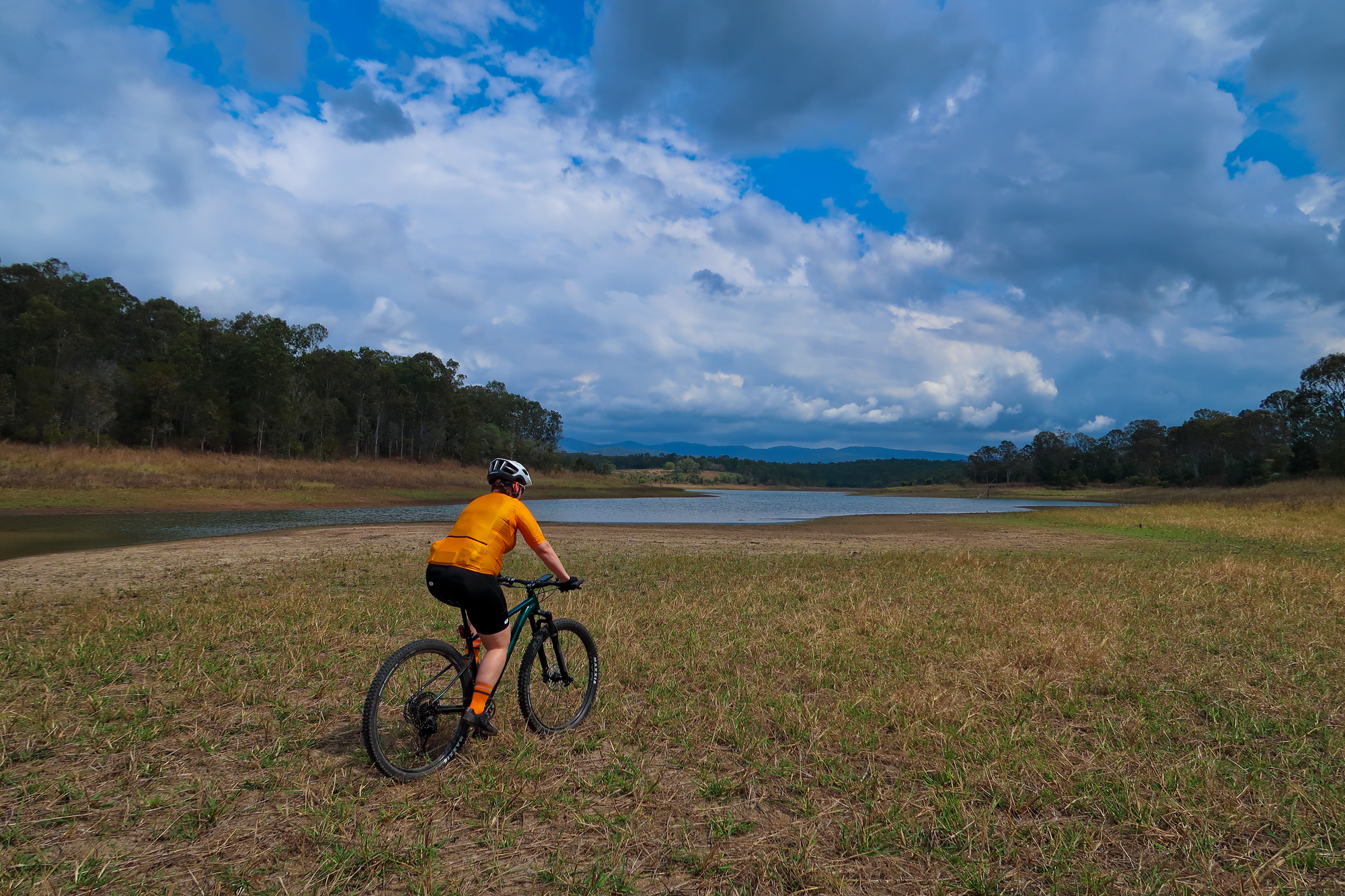
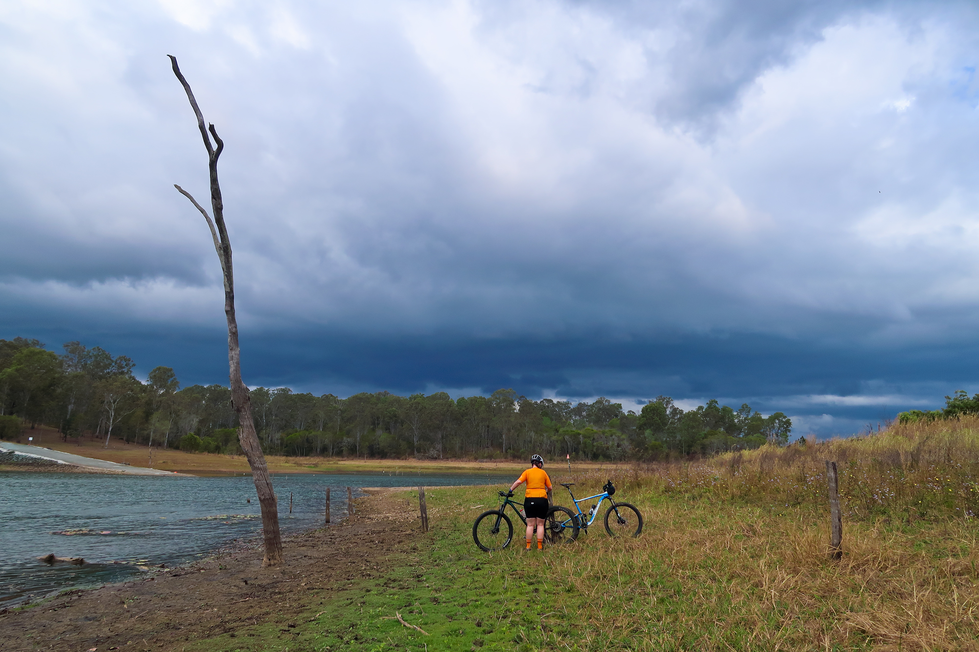
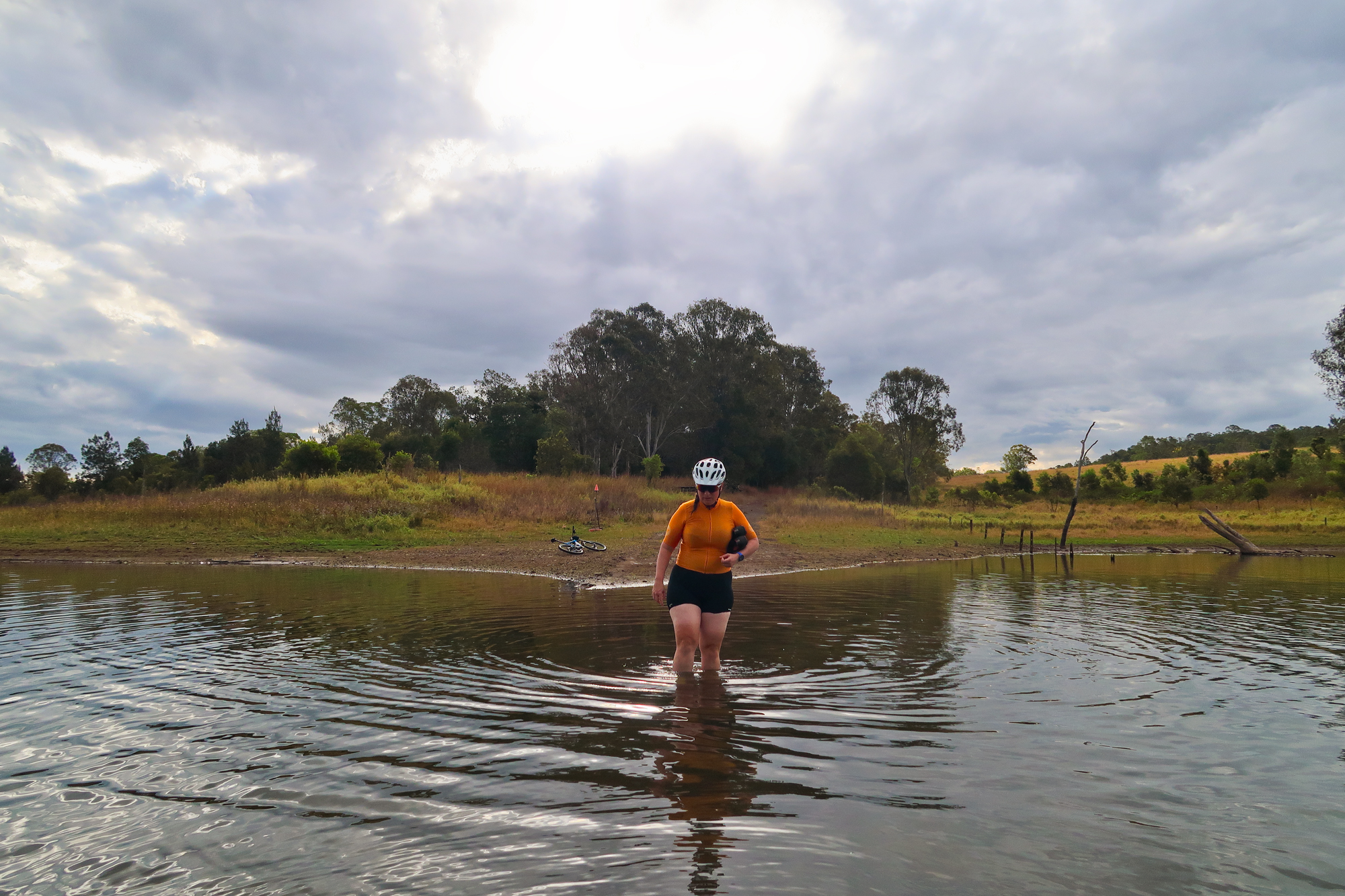
A storm rapidly approaching in the distance. The temperature has only dropped 3 degrees in the last 5 minutes a lot but the wind has picked up. You can also note the water level on the tree trunk beside Bronwyn.
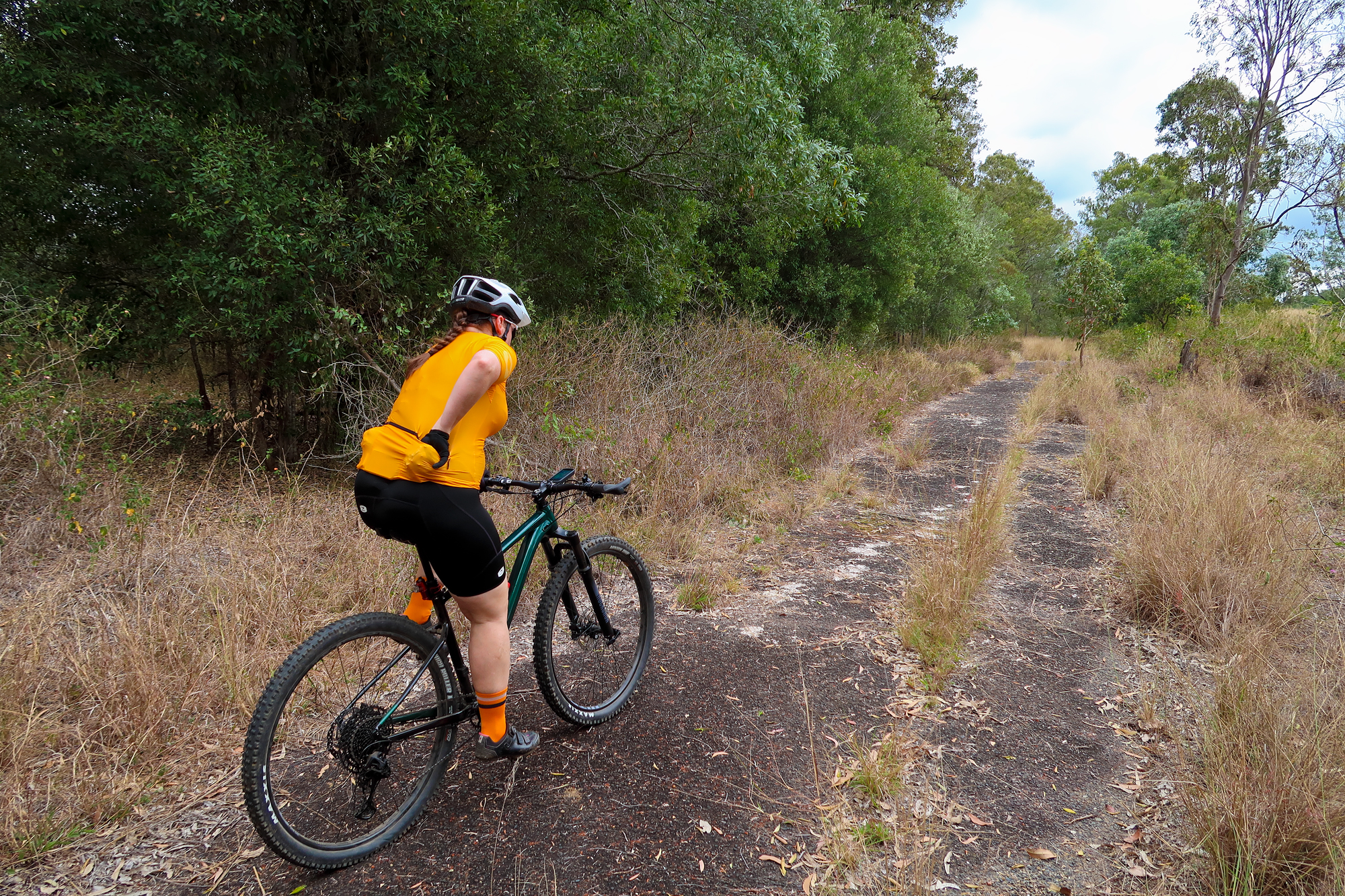
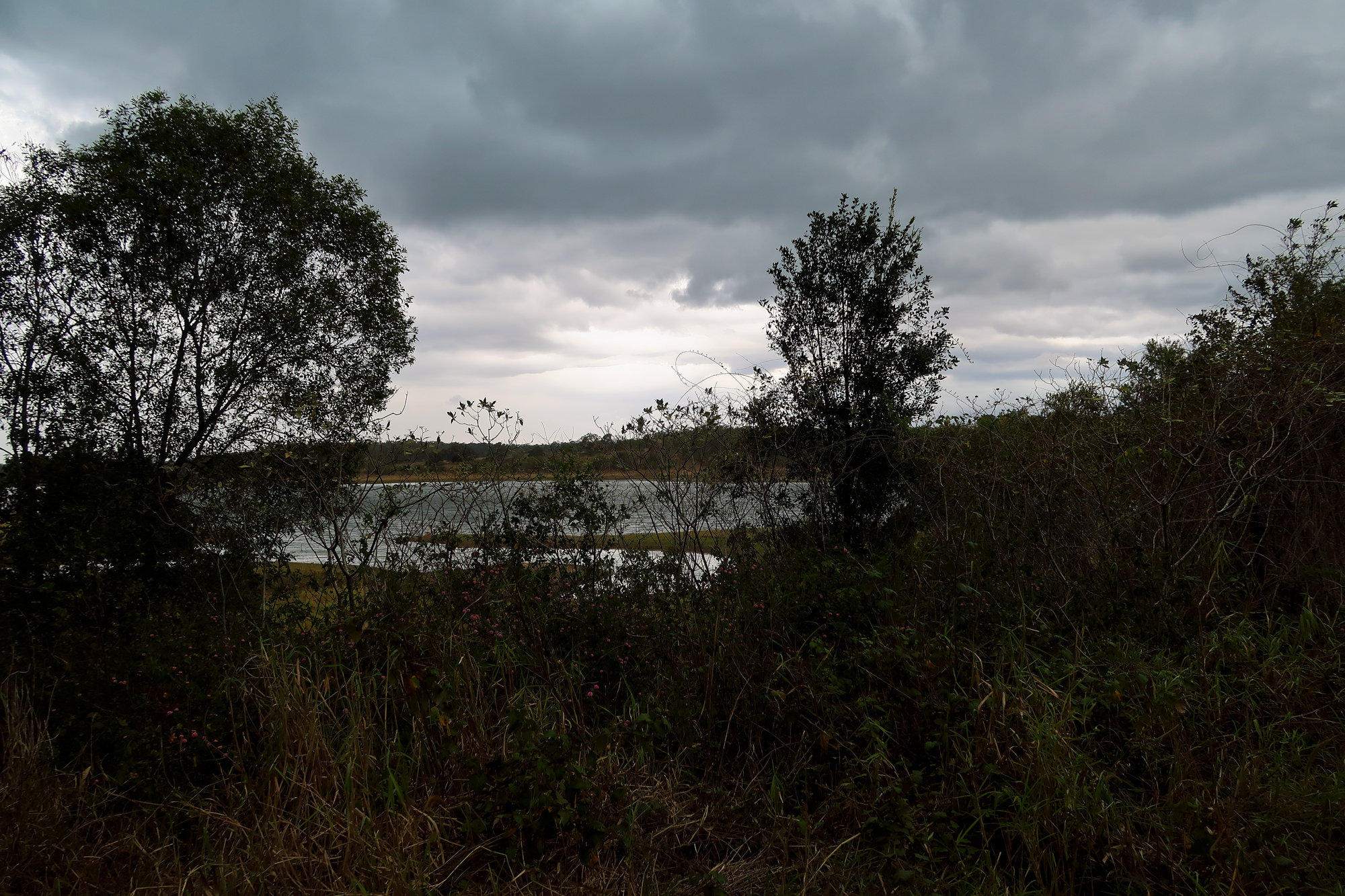
At first we didn’t really notice (we noted that it was cooler but not the 14 degrees cooler) the big temperature drop due to the mounting/dismounting and weaving through lantana under the tree cover but after the road popped out into the open section that’s when the difference really hit us and the wind chill factor also wouldn’t have help that cause.
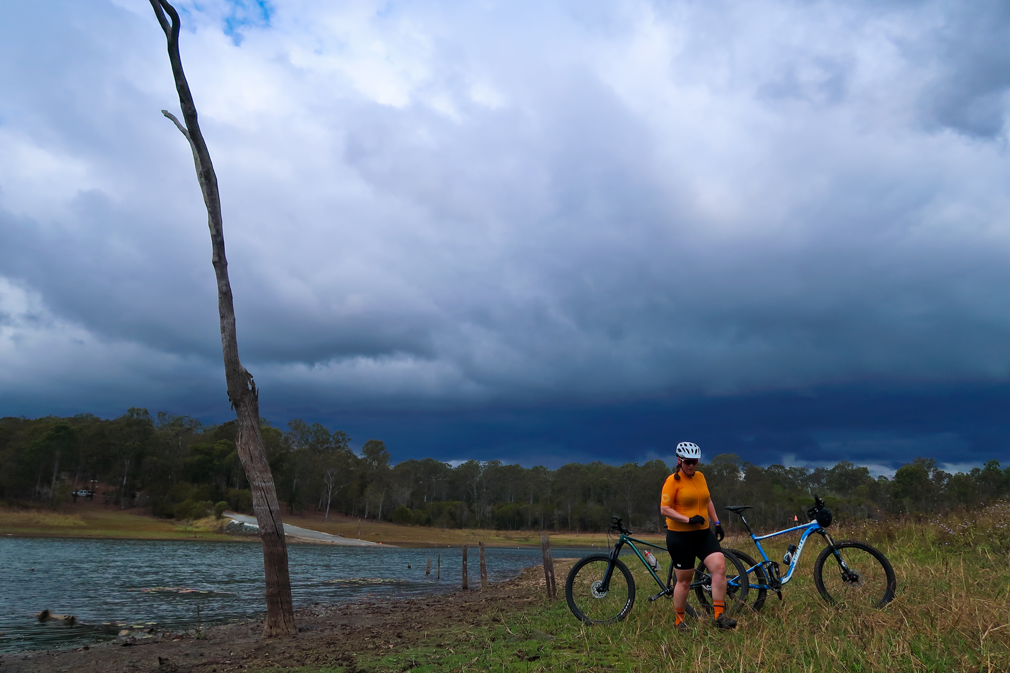
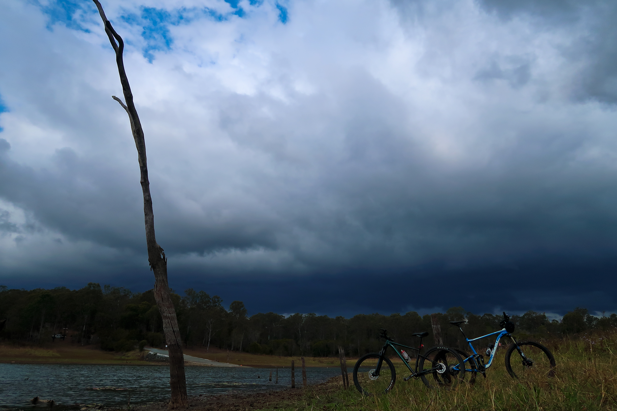
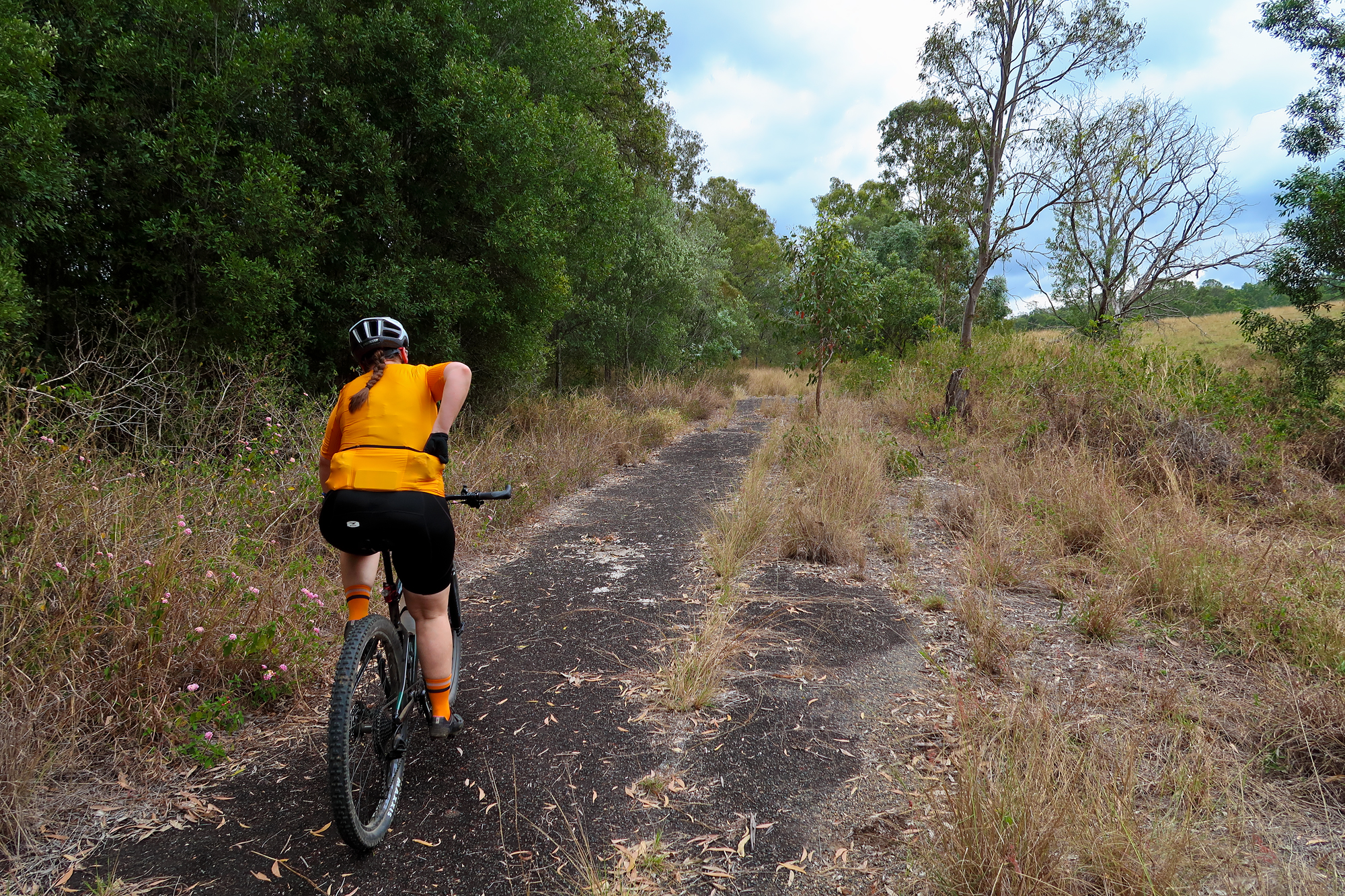
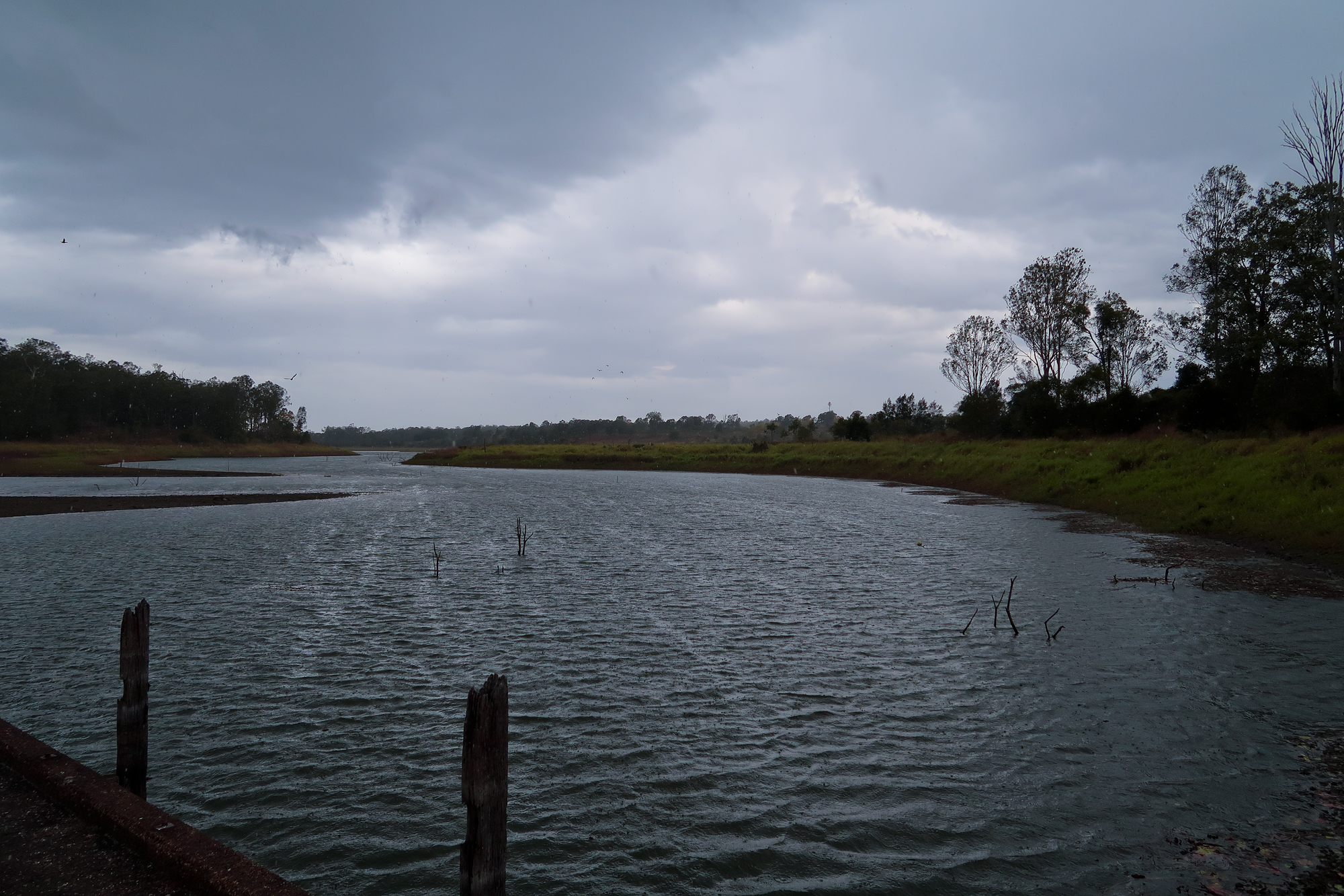
The storm is now really close by. In the last 15 minutes the temperature has so far has dropped 11 degrees and continuing, thunder and lightening nearby, the wind picked up even more, the birds are scattering and the first really cold rain drops are starting to land on our backs. Time to race the storm the 7km to Dayboro but we have the feeling the 2 large gates aren’t going to help us.
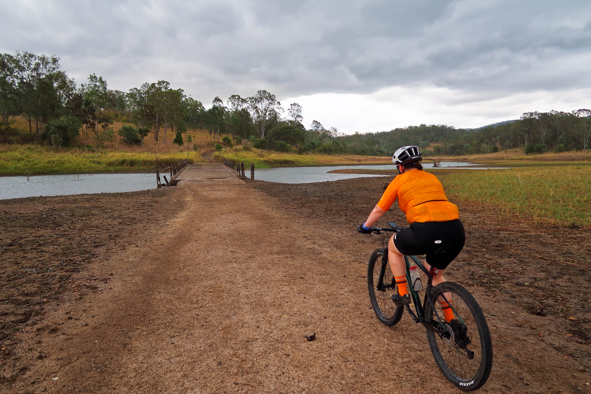
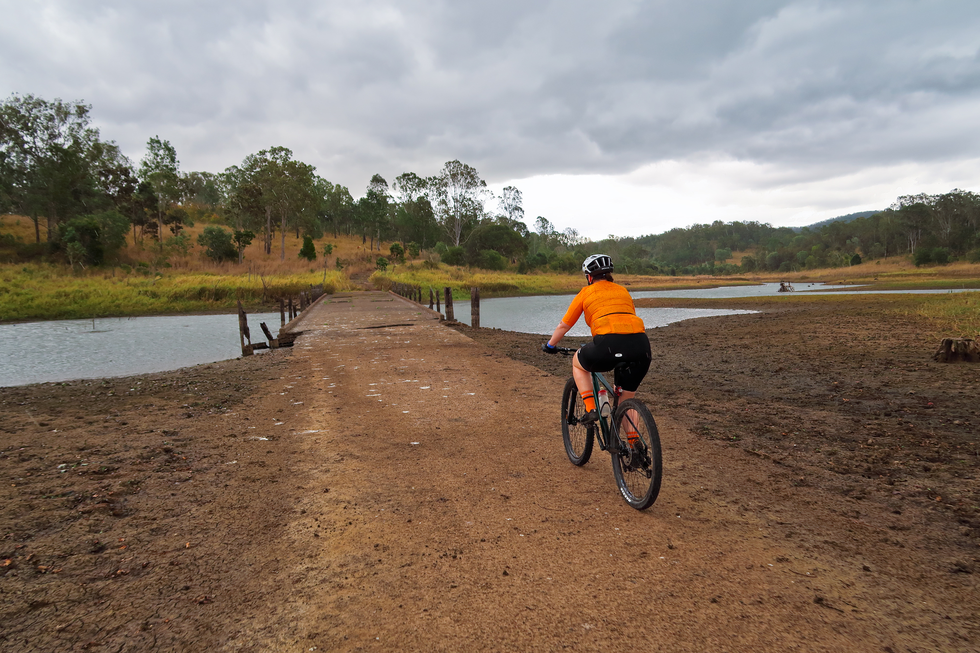
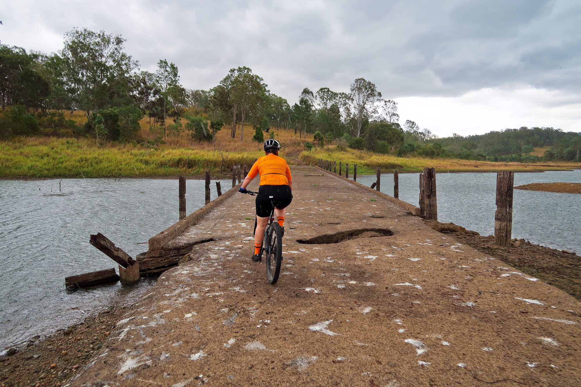
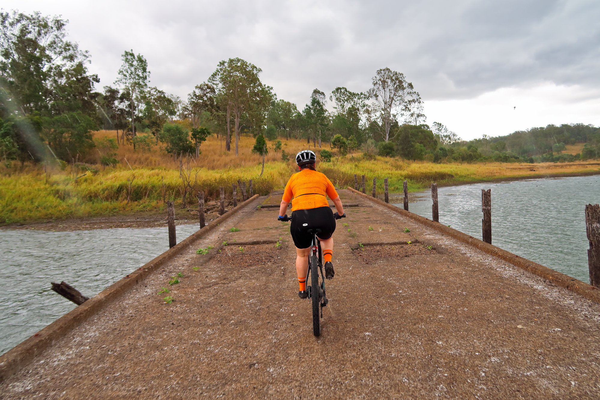
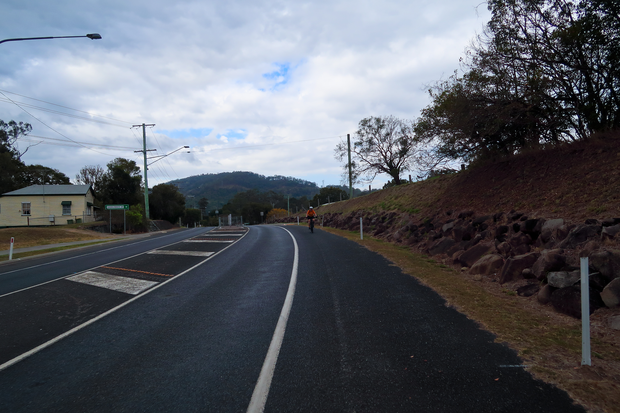
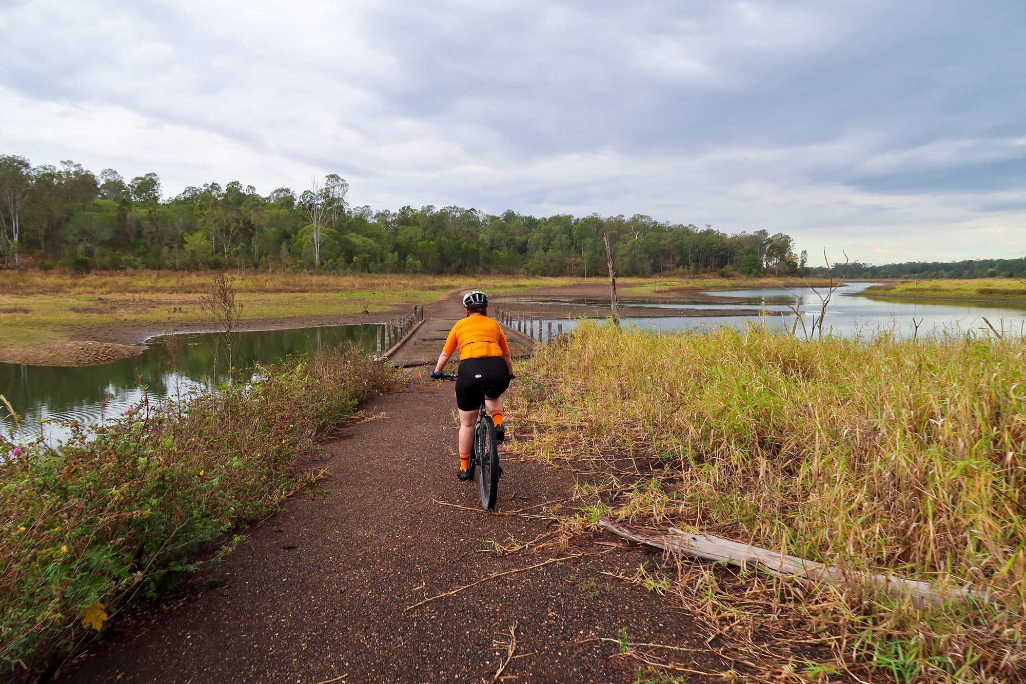
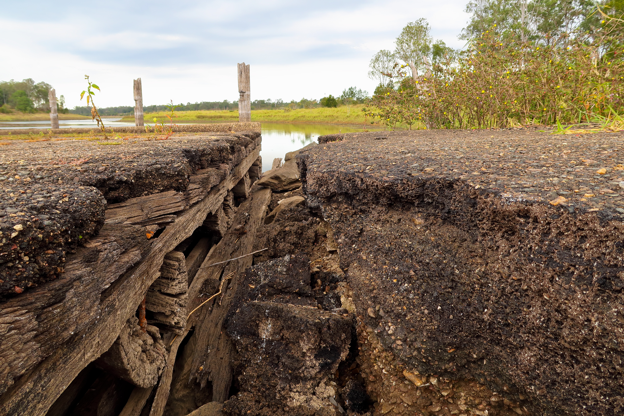
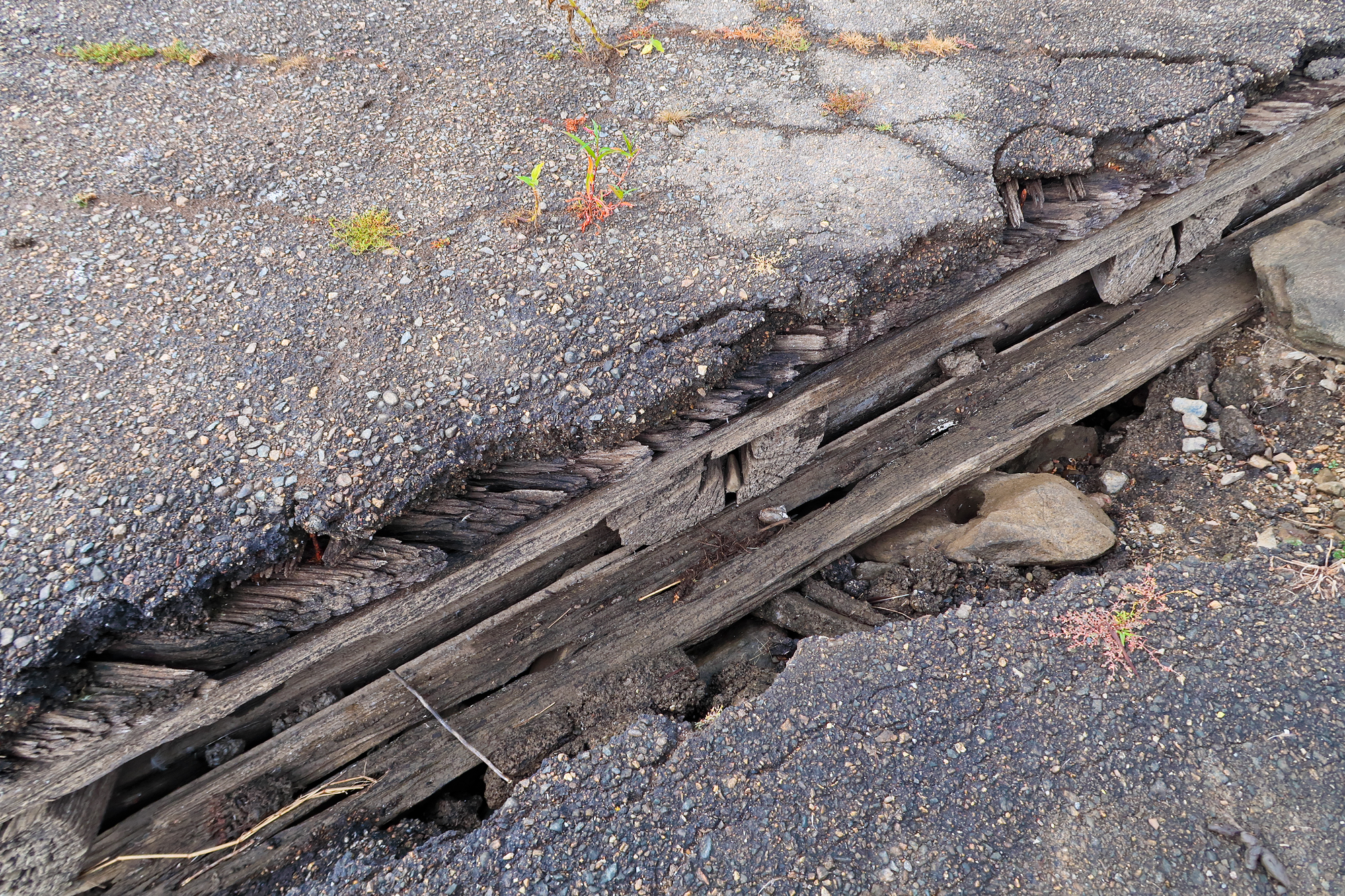
We quickly crossed over the old timber bridge which had a few holes and a washout from being constantly submerged under water. We didn’t really hang around to have a look as the storm was now really moving in. A quick look at the radar showed the storm rapidly developing with red/black heading straight for us so we knew we were going to get a little wet as we had no chance of making it the 10km to Dayboro. We were in its path but we were also going to be on the fringe of it. Just after we got to the bridge there was a really strong gust of wind followed by some loud thunder and a lot of birds flying to the north west. Looking back we couldn’t see the tree line in the distance across the dam so we knew it was going to be soon. We jumped a couple gates quickly but just as we got onto Rush Creek road it just poured down. We had some shelter from the pine trees but all that did was create a heavily diffused misty rain effect but as soon as there was no tree cover we copped the full force of it. We made it to Dayboro road where there was a bus shelter so we took some cover as we waited for the worst of it to pass over. This is when we noticed how cold it started to really get since we weren’t moving and that our Garmins were now displaying 15 degrees compared to the 18 degrees when we came out of the last clearing at the dam/lake and the 32 degrees when we first got to the boat ramp. After about 20 minutes it eased up and we rode into Dayboro to have a hot lunch at the well known Dayboro Bakery. About half way there to Dayboro the roads were damp which showed us just how close we could have been to actually missing the bulk of the rain.
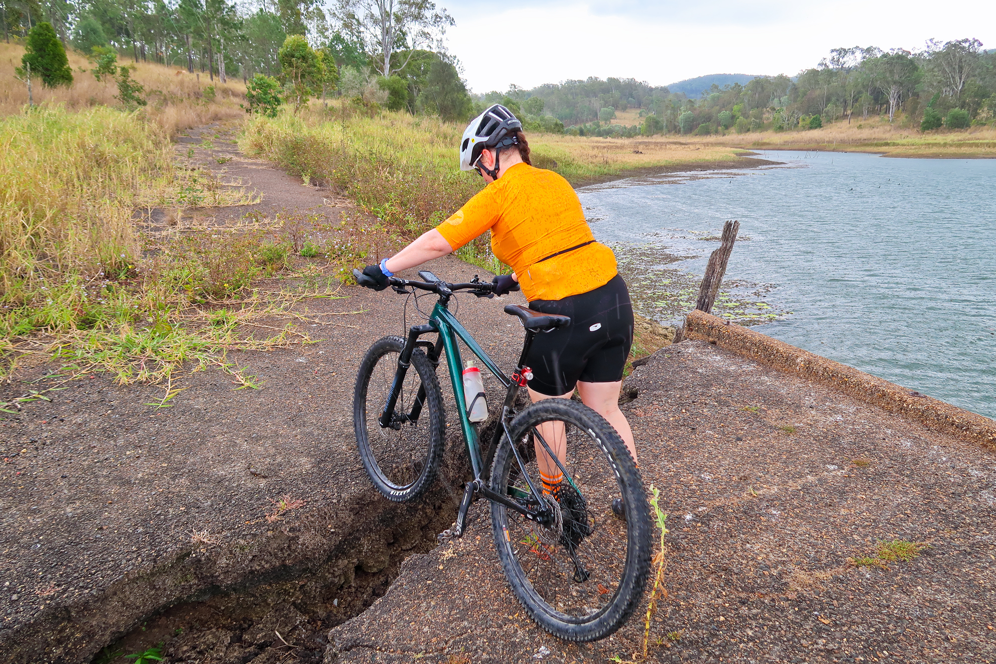
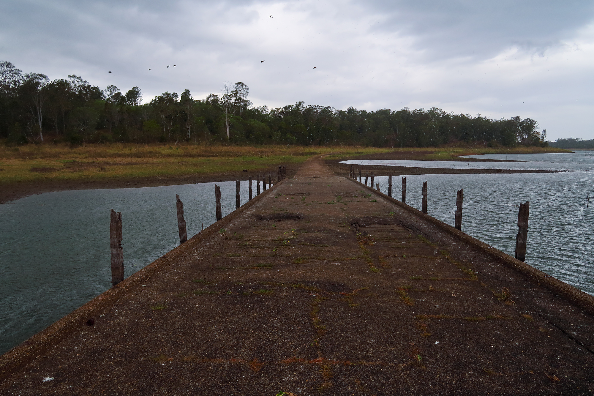
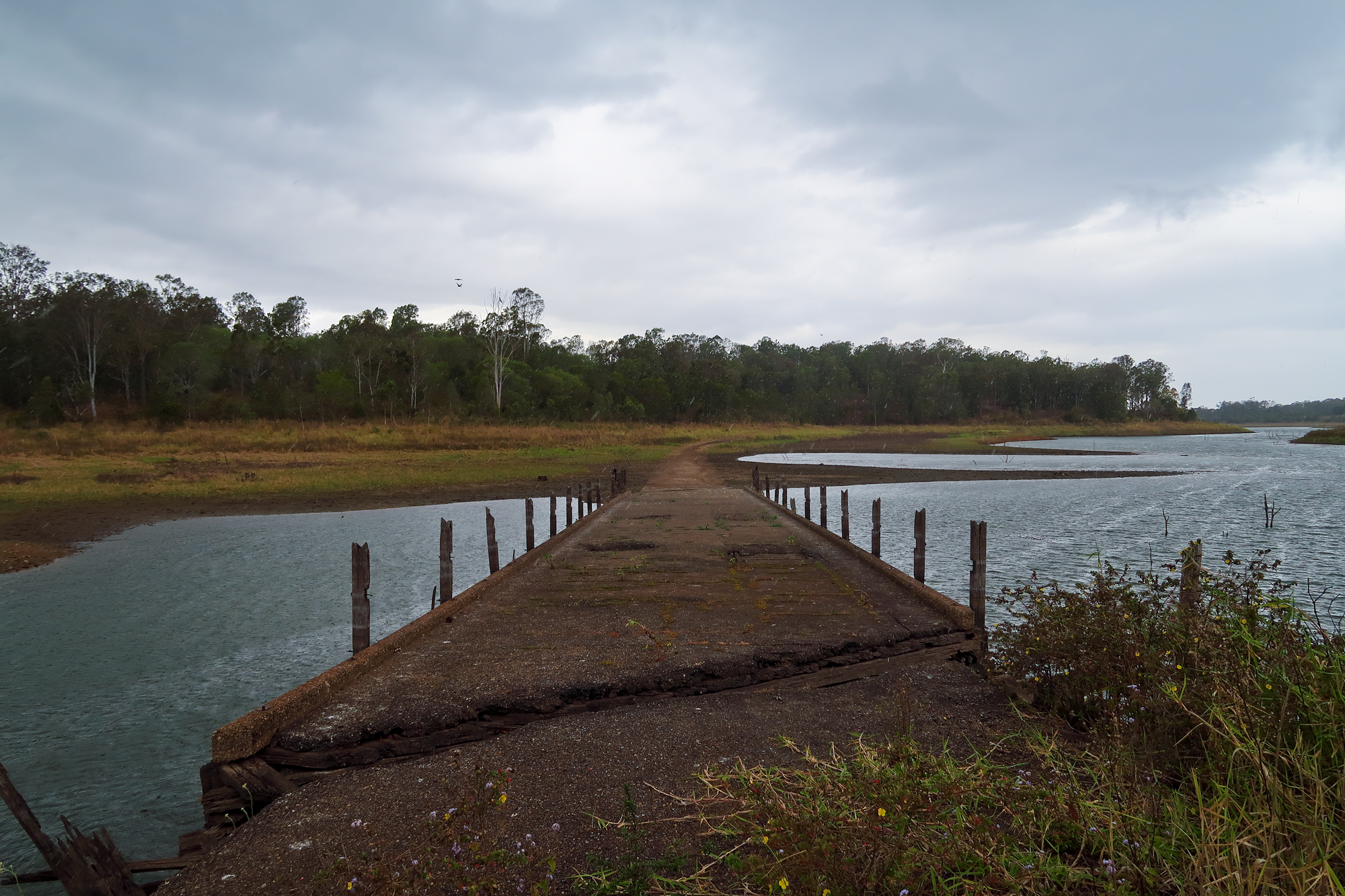
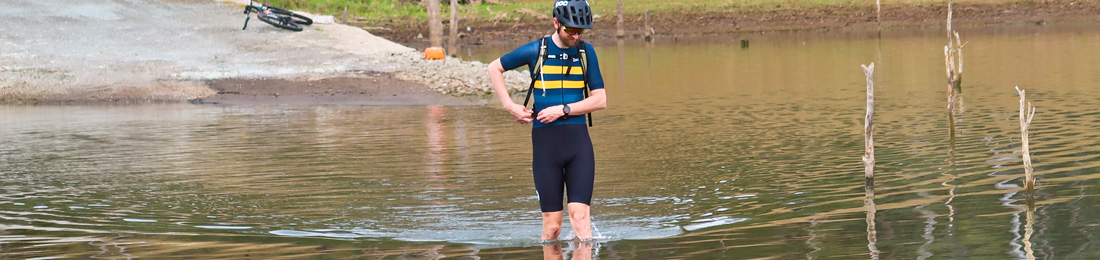
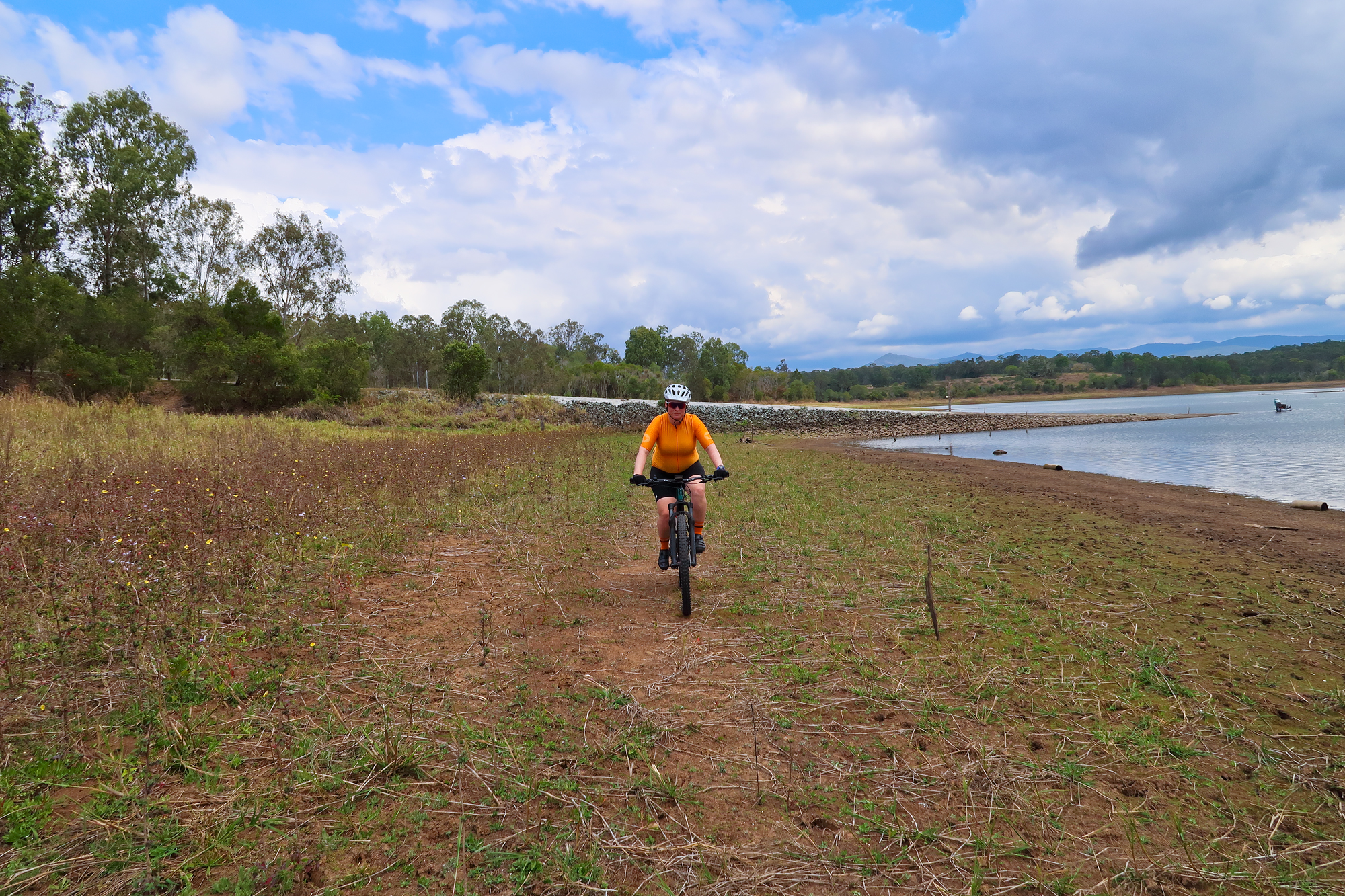
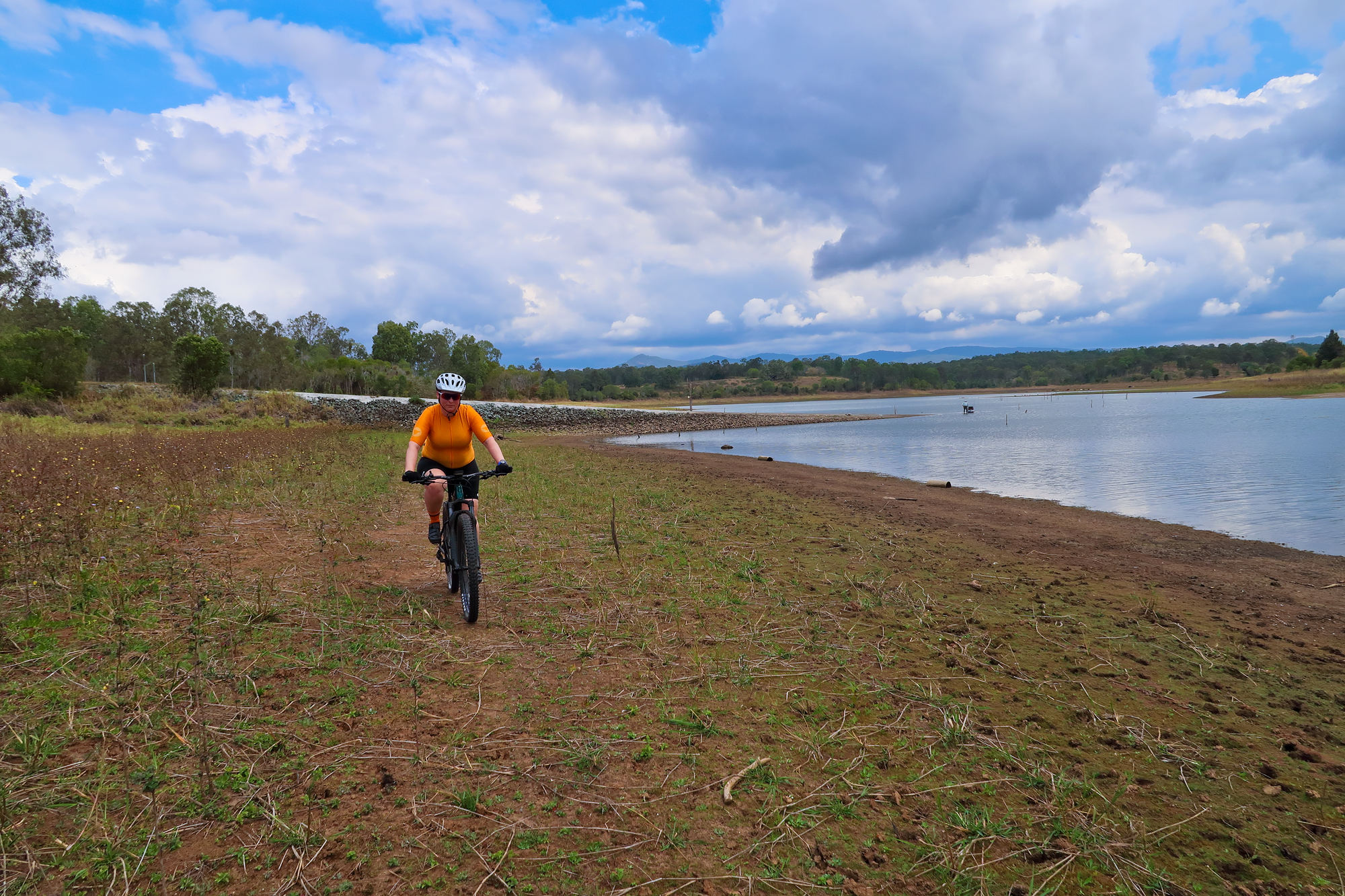
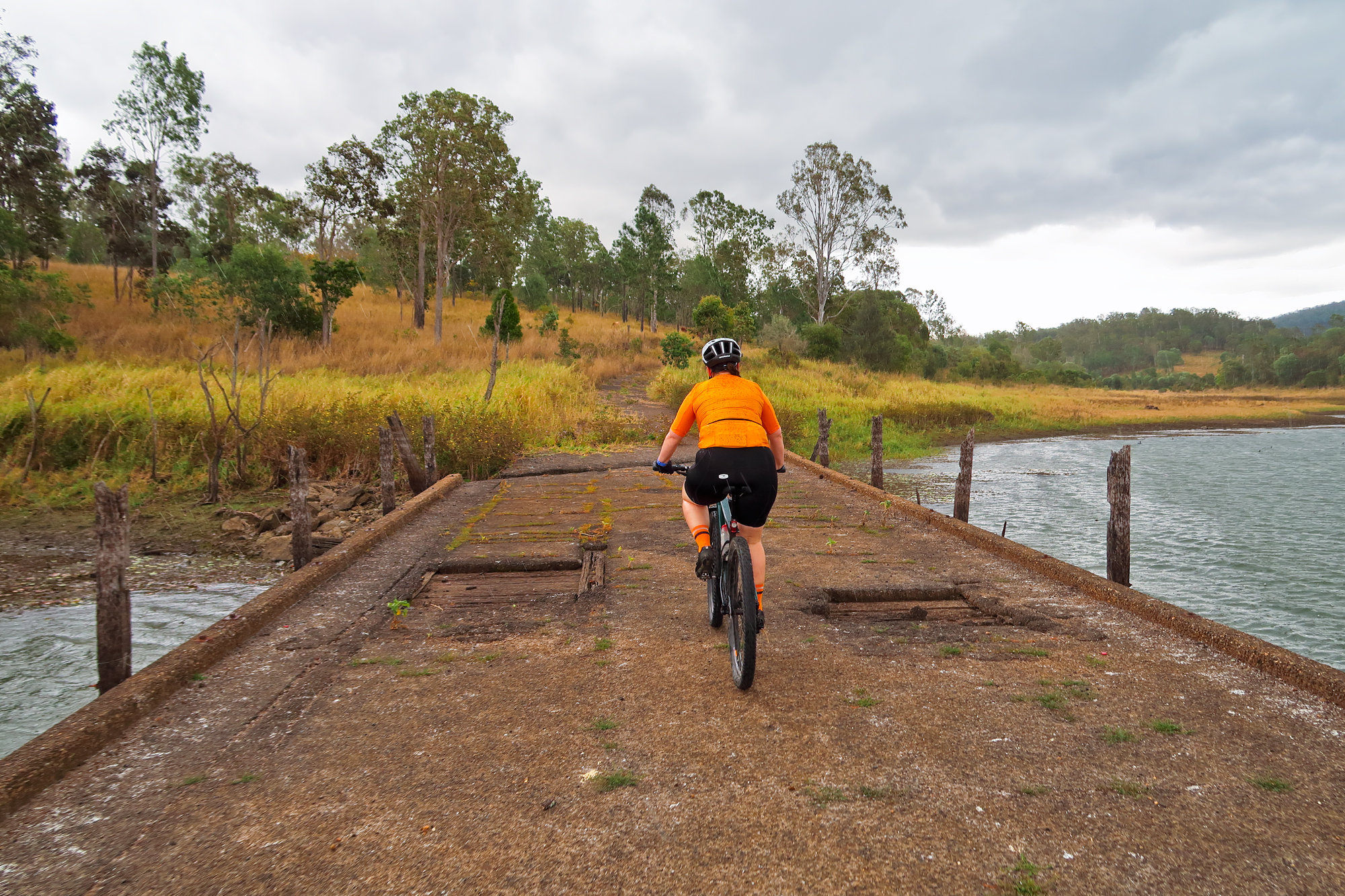
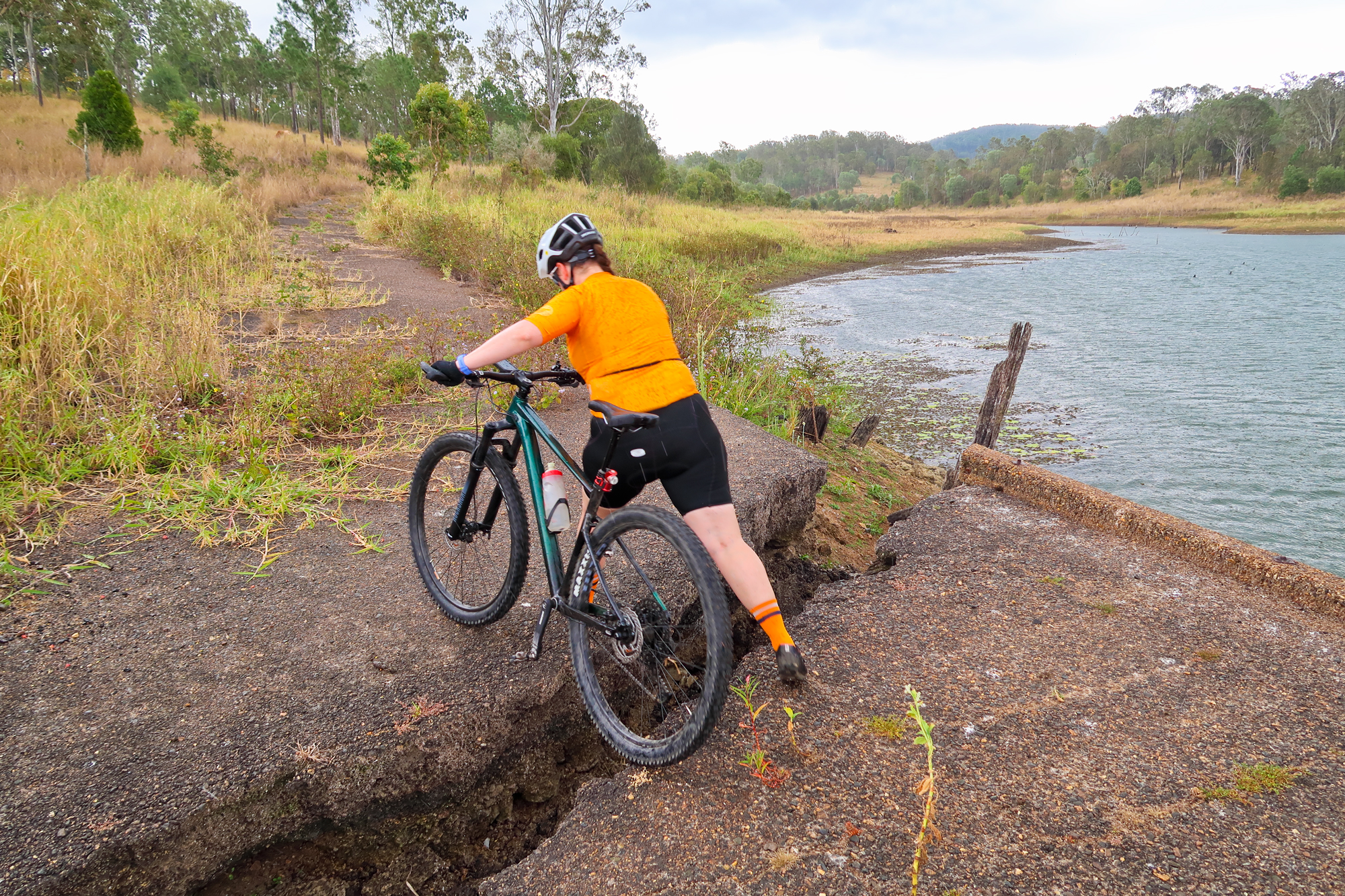
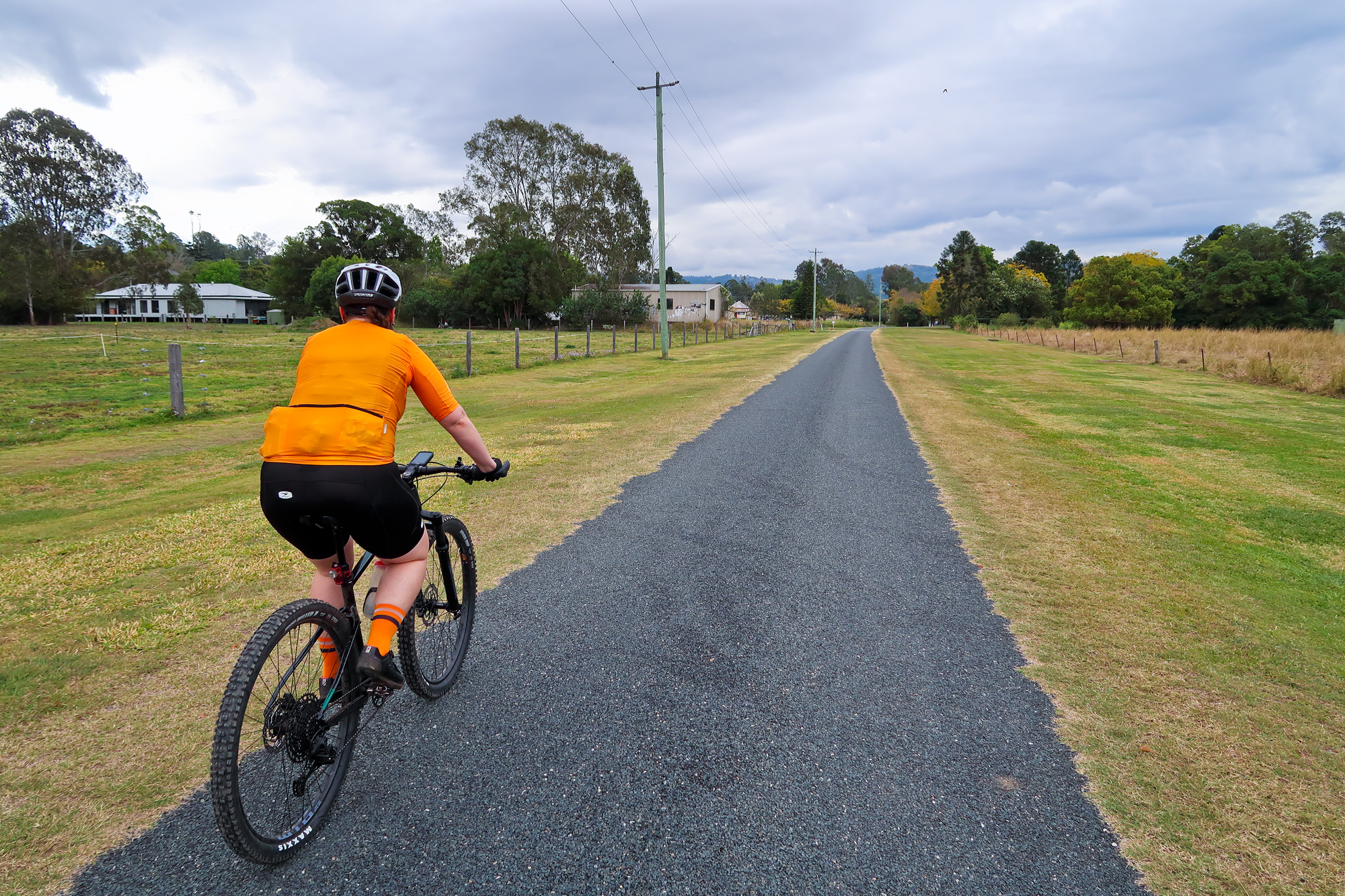
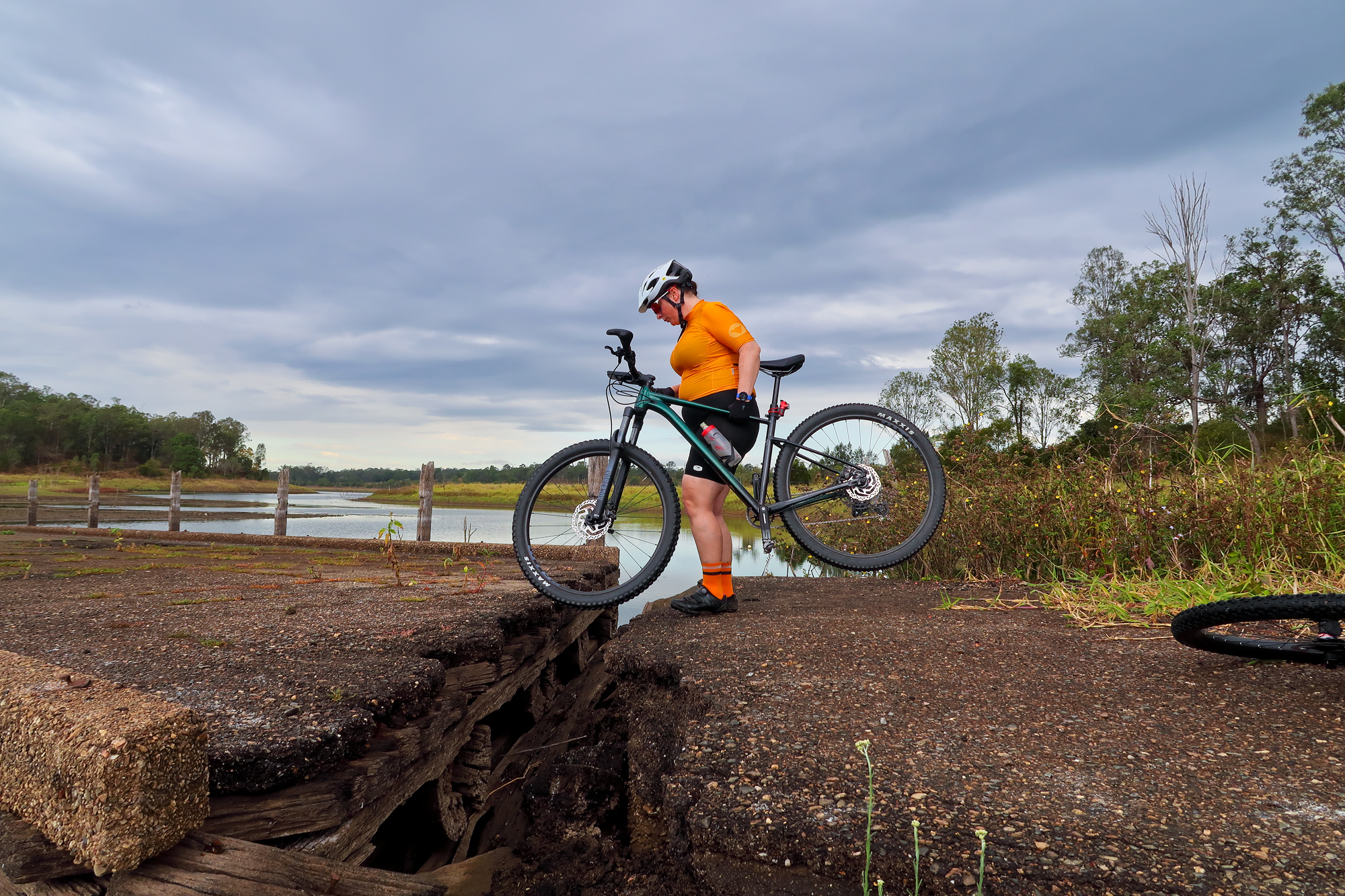
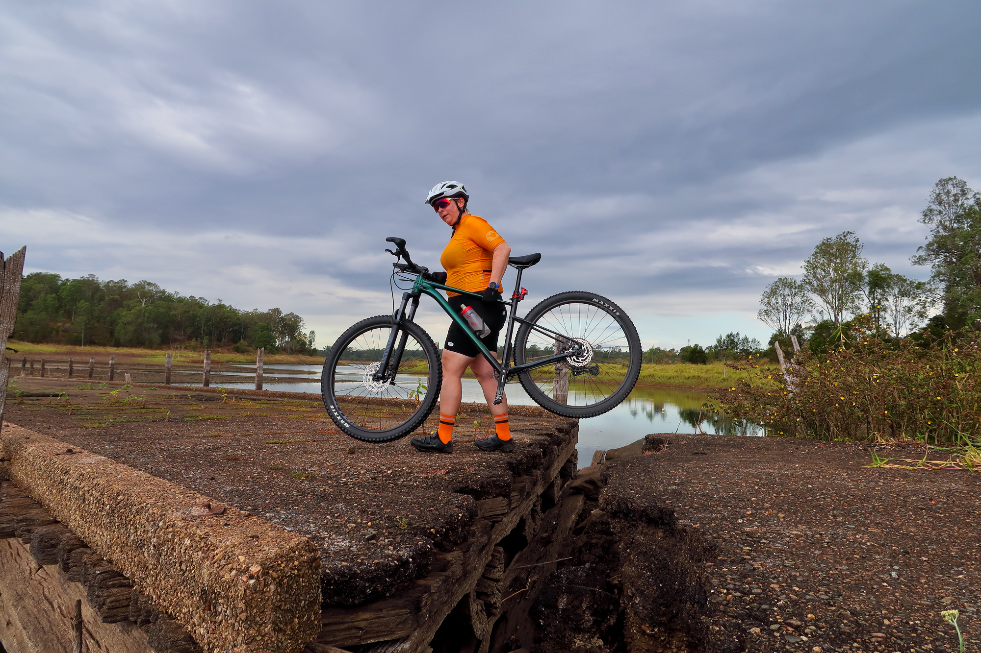
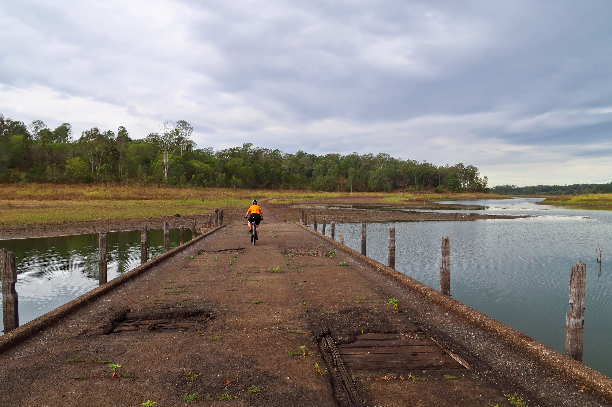
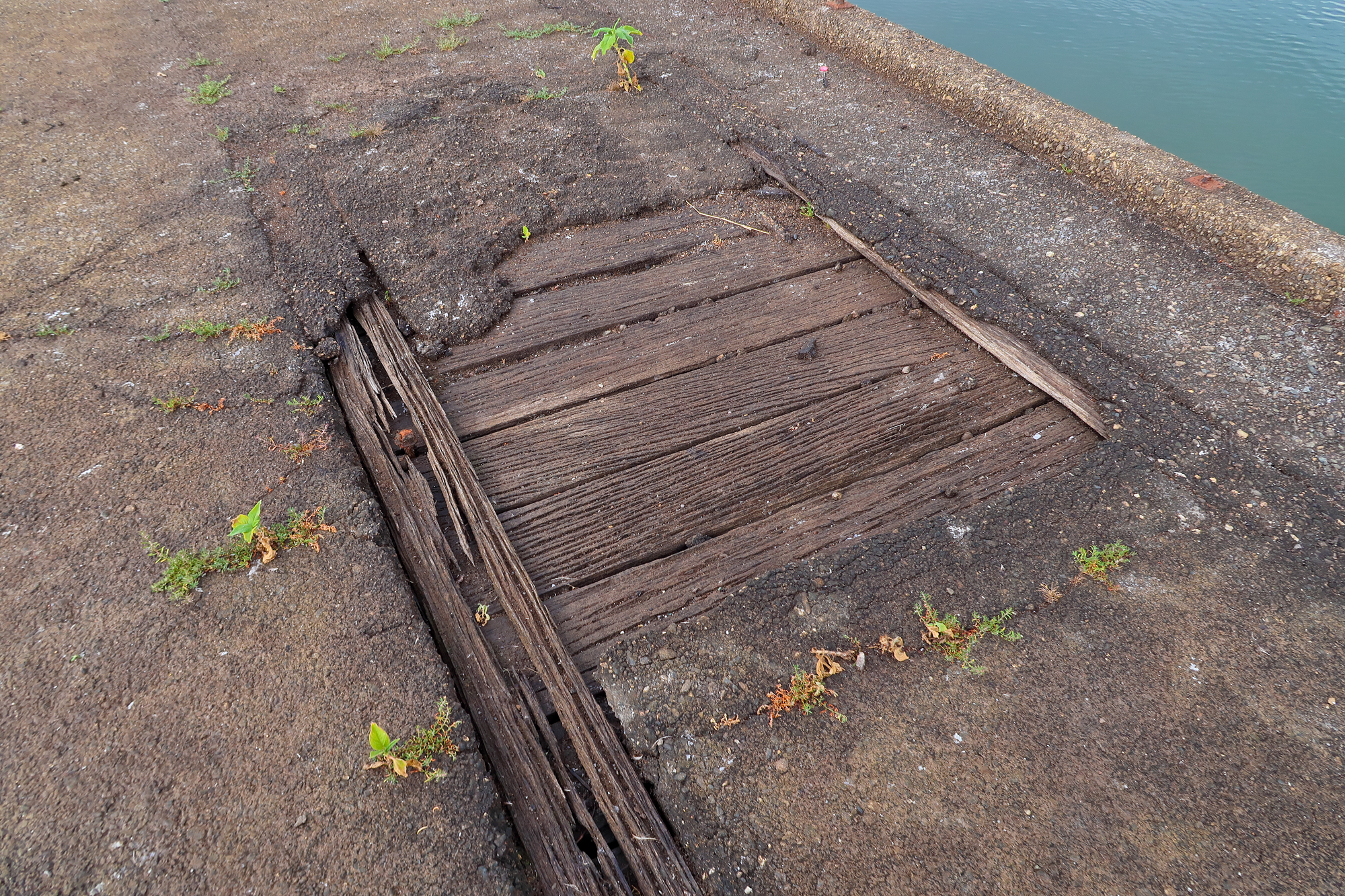
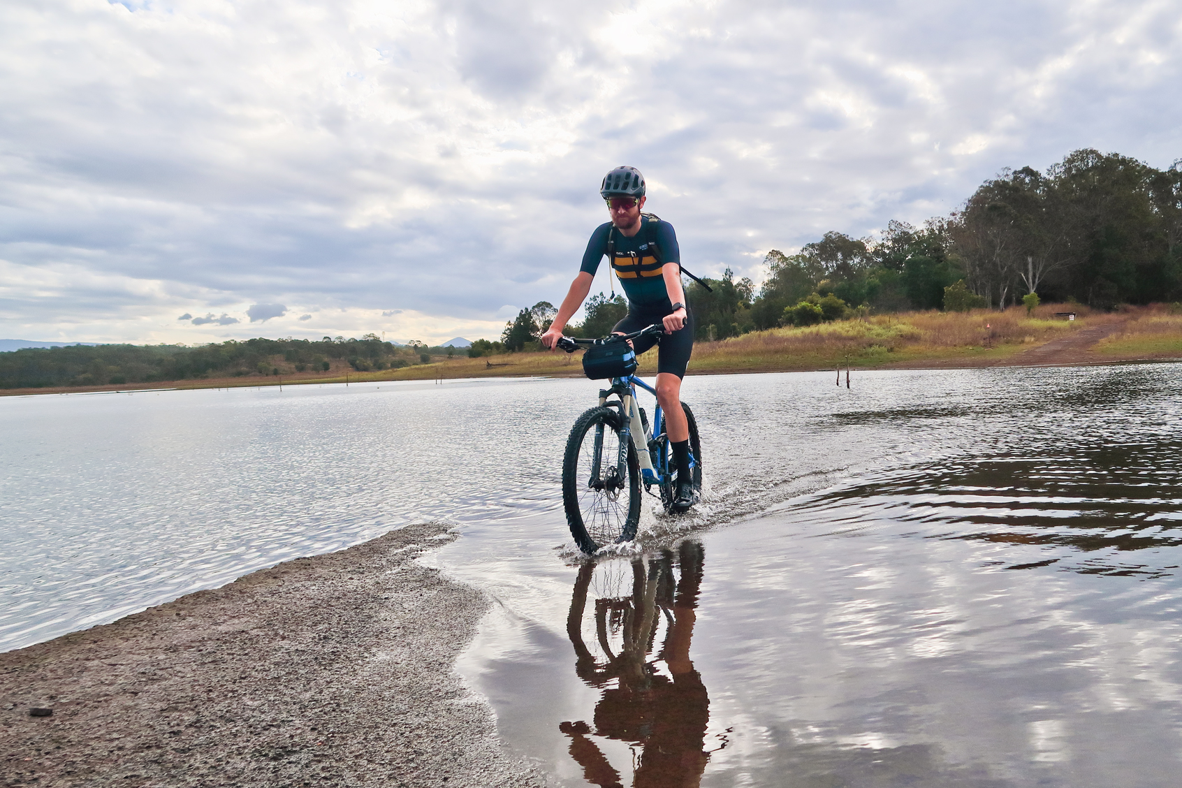
After lunch we went for a quick ride along the road that used to form up part of the old Brisbane to Dayboro railway line before heading back to the dam. Once back at the lake we had a bit of a more in depth look at the old bridge and the surrounding area before going back into the lantana covered road. We arrived at the second of the submerged bridges. The path we took going around was now just mud puddles so we decided to wade through the water across the old bridge. By now the sun was starting to come out so we could see parts of the old timber bridge beneath. Luke ventured across first to check it out. It appeared that the north side of the timber bridge had started to sink so as long as you travelled on the right hand side and didn’t step off the bridge it would be fine. In the end Luke ended up taking 7 trips across the bridge taking the bikes and Bronwyn across. On the ride up the hill to the quarry the sun finally poked it’s head out which ensured that Luke’s shoes would be dry by the time we arrived back at the dam wall.
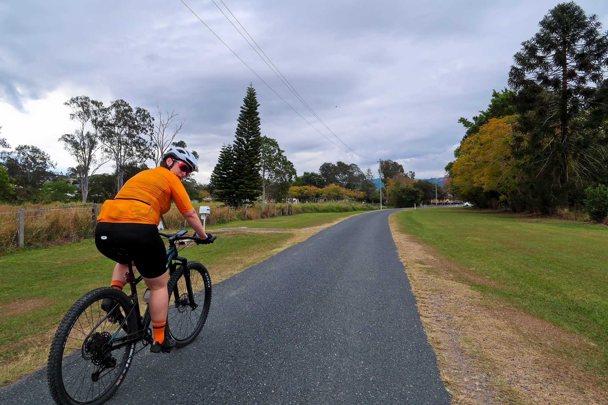
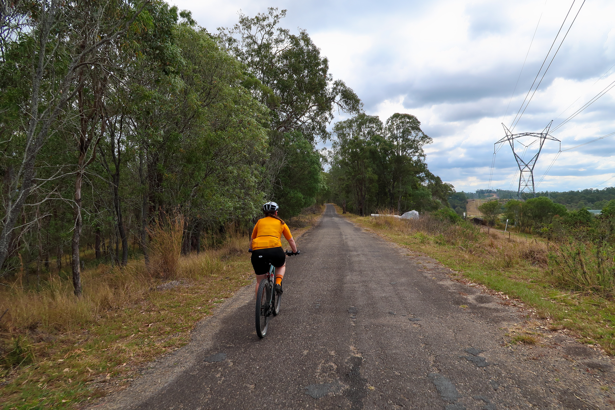
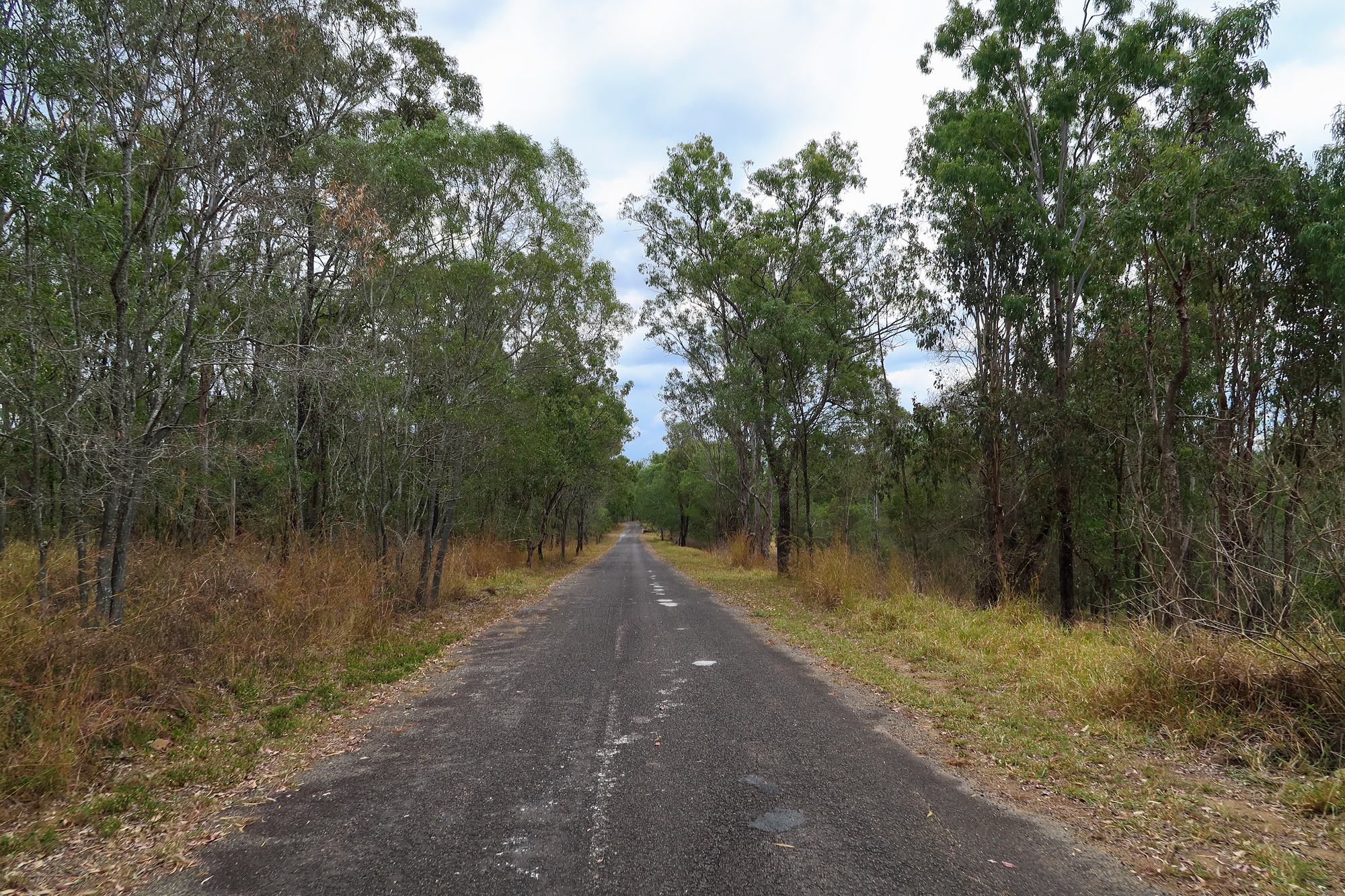
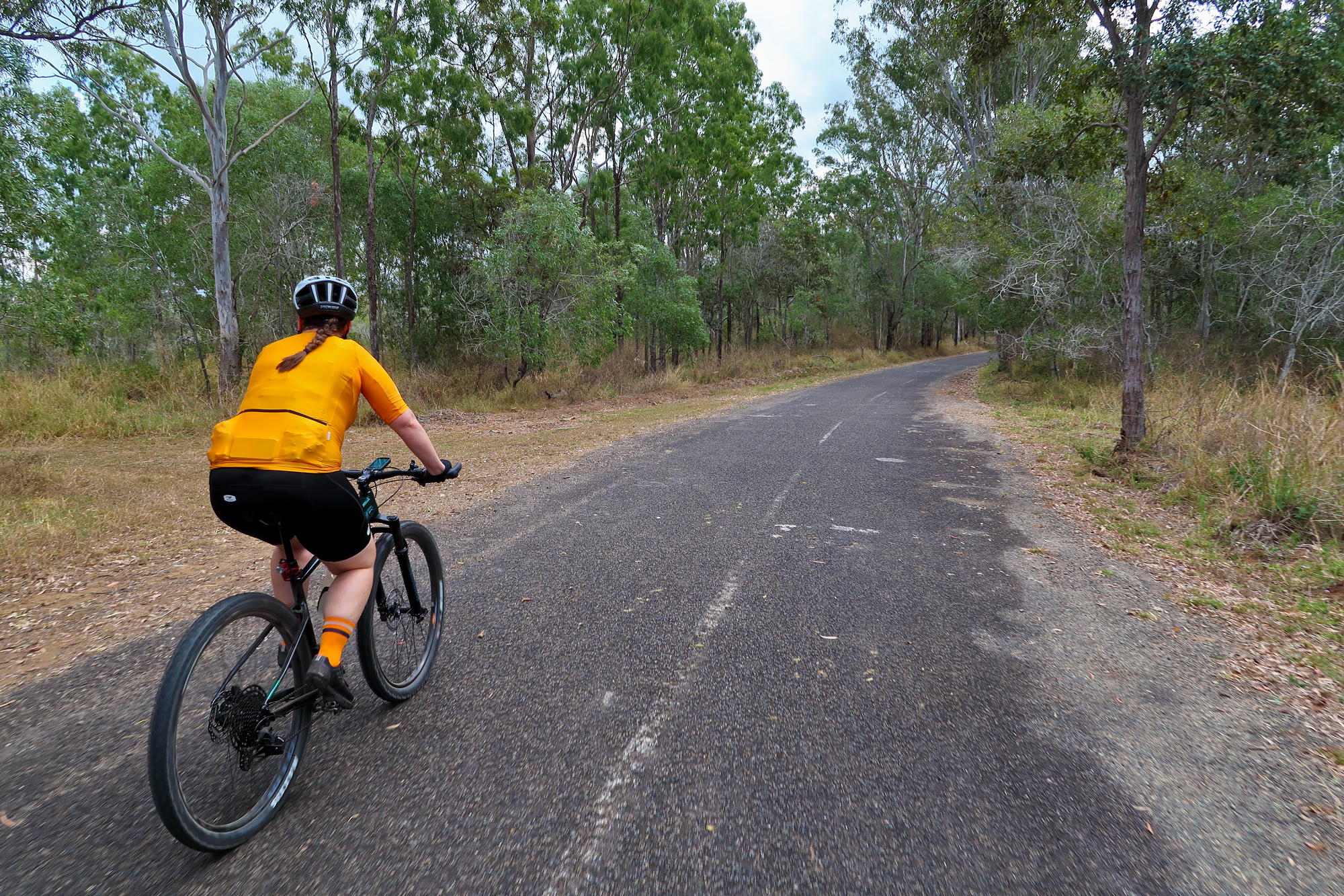
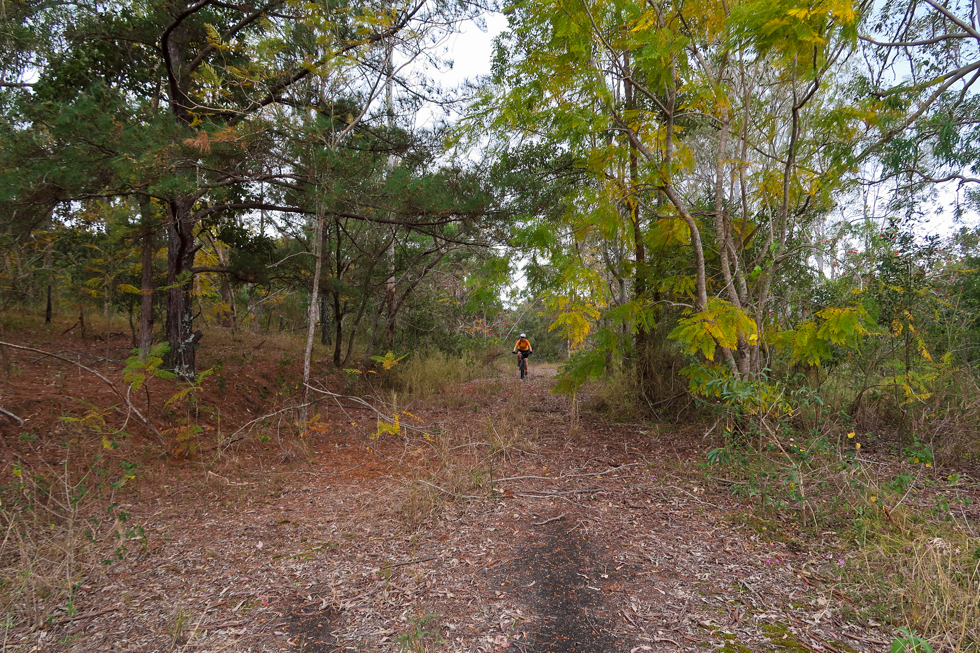
Riding along what once used to be the Brisbane to Dayboro Railway Line. This has since been cut back and the line now terminates at Ferny Grove.
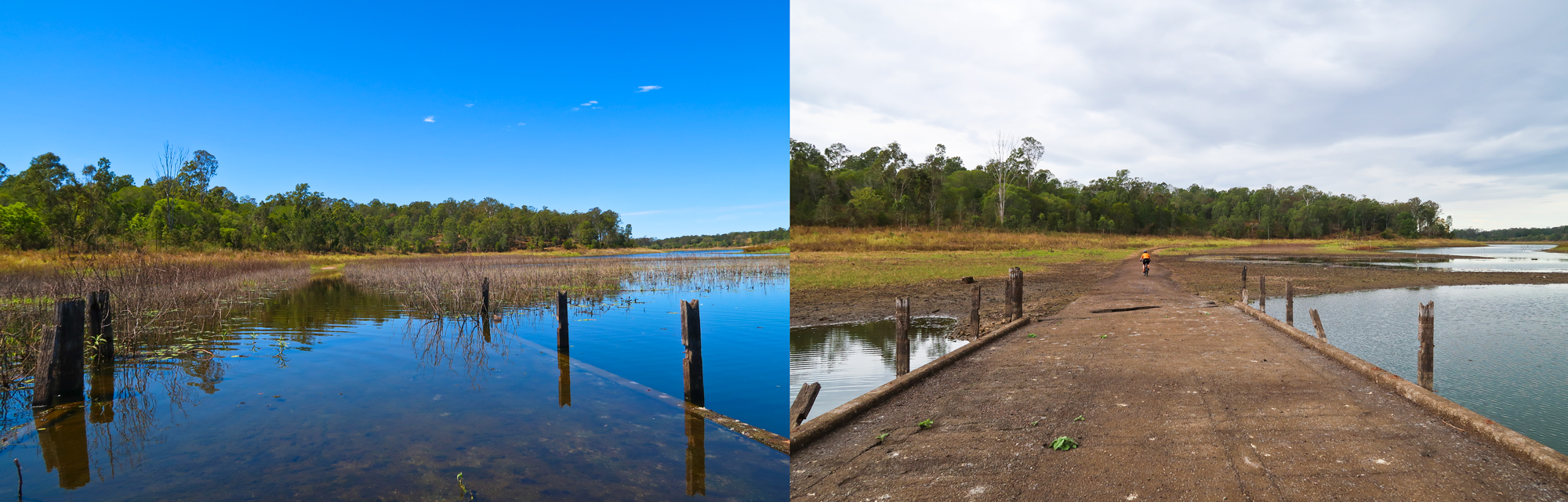
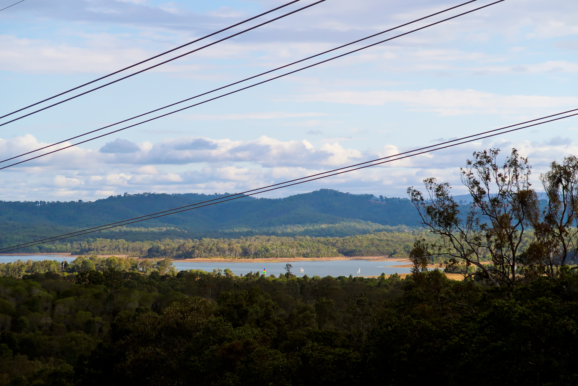
The water height difference over time.
Left: 2021 Right: 2020
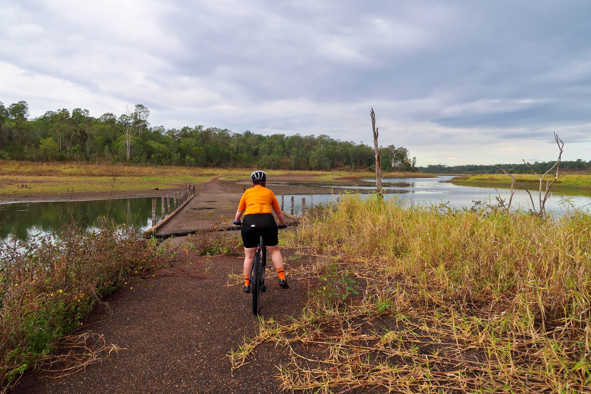
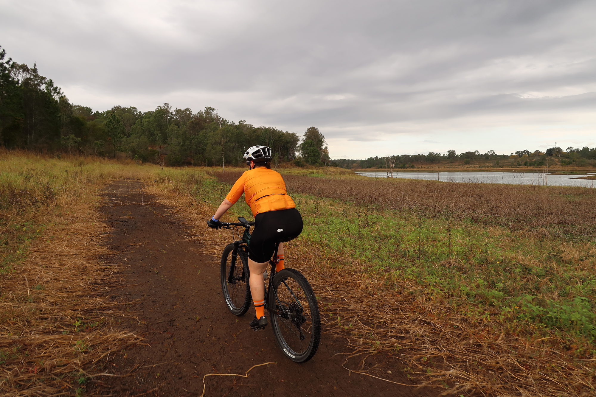
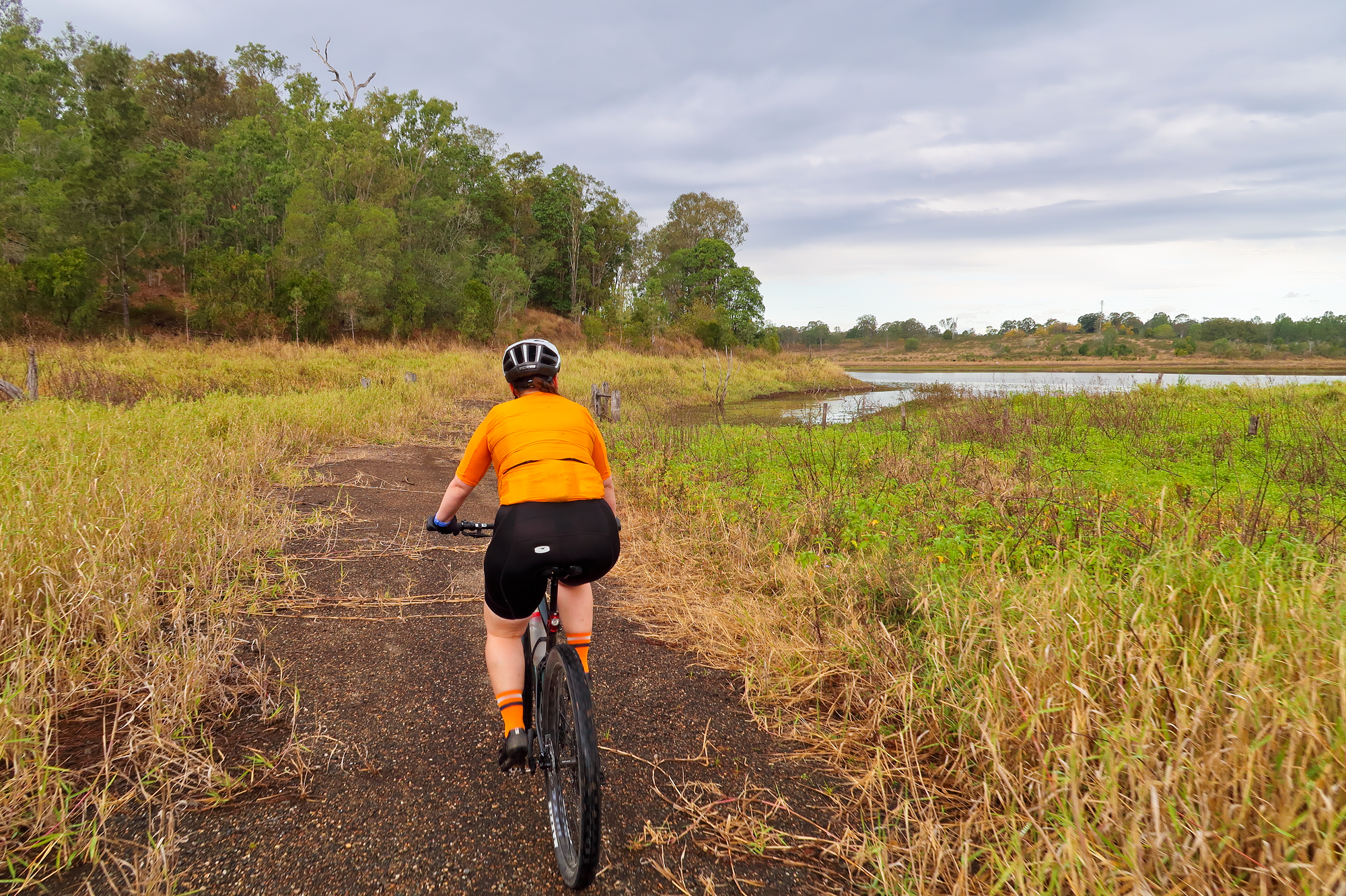
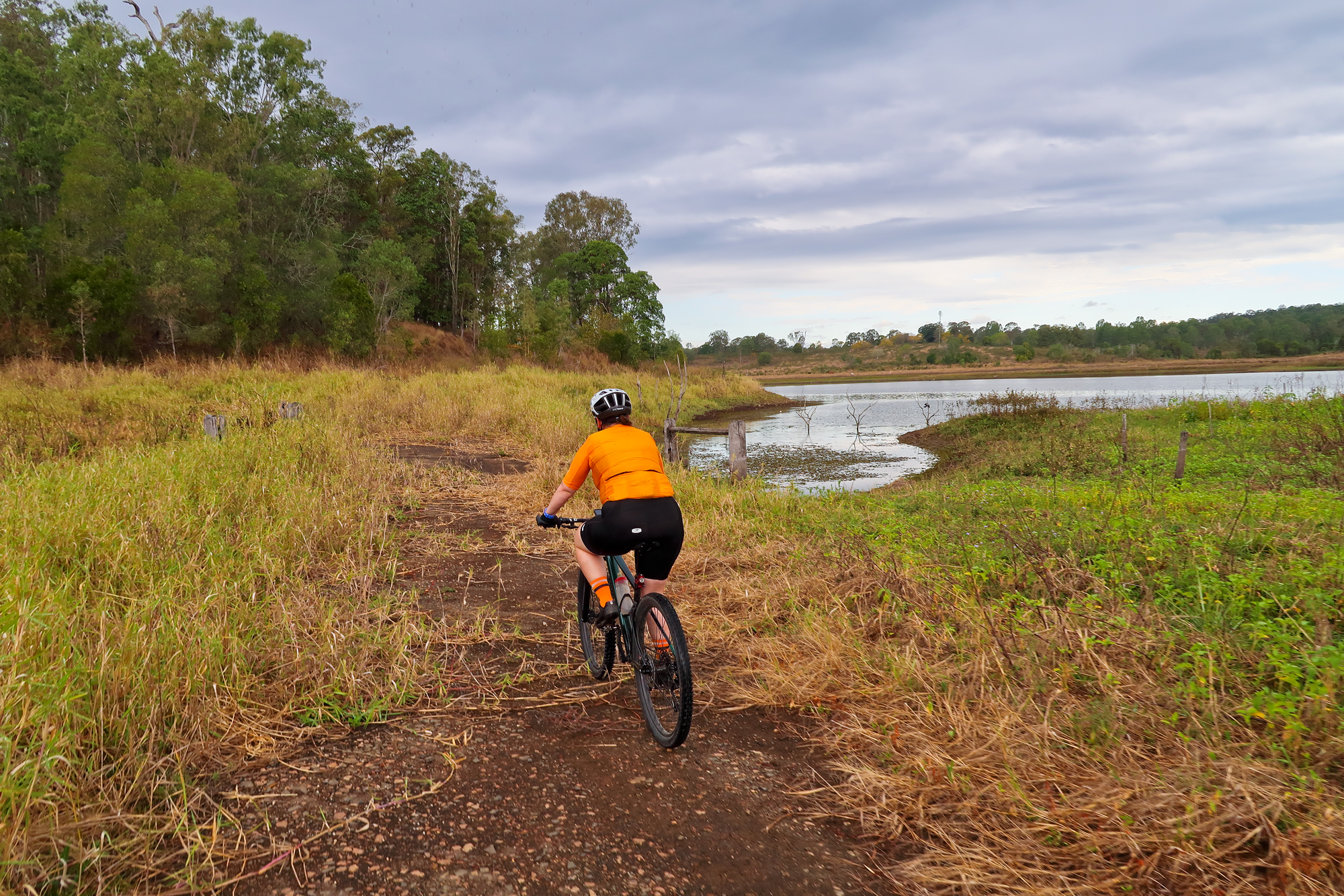
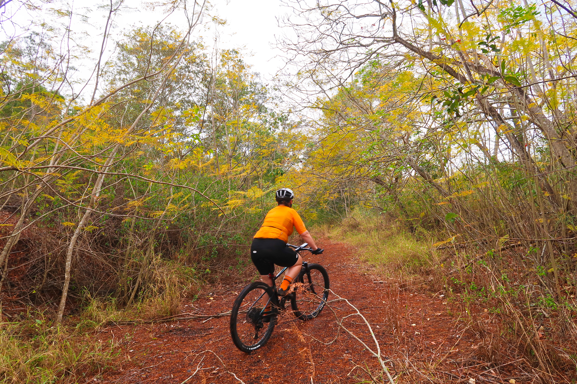
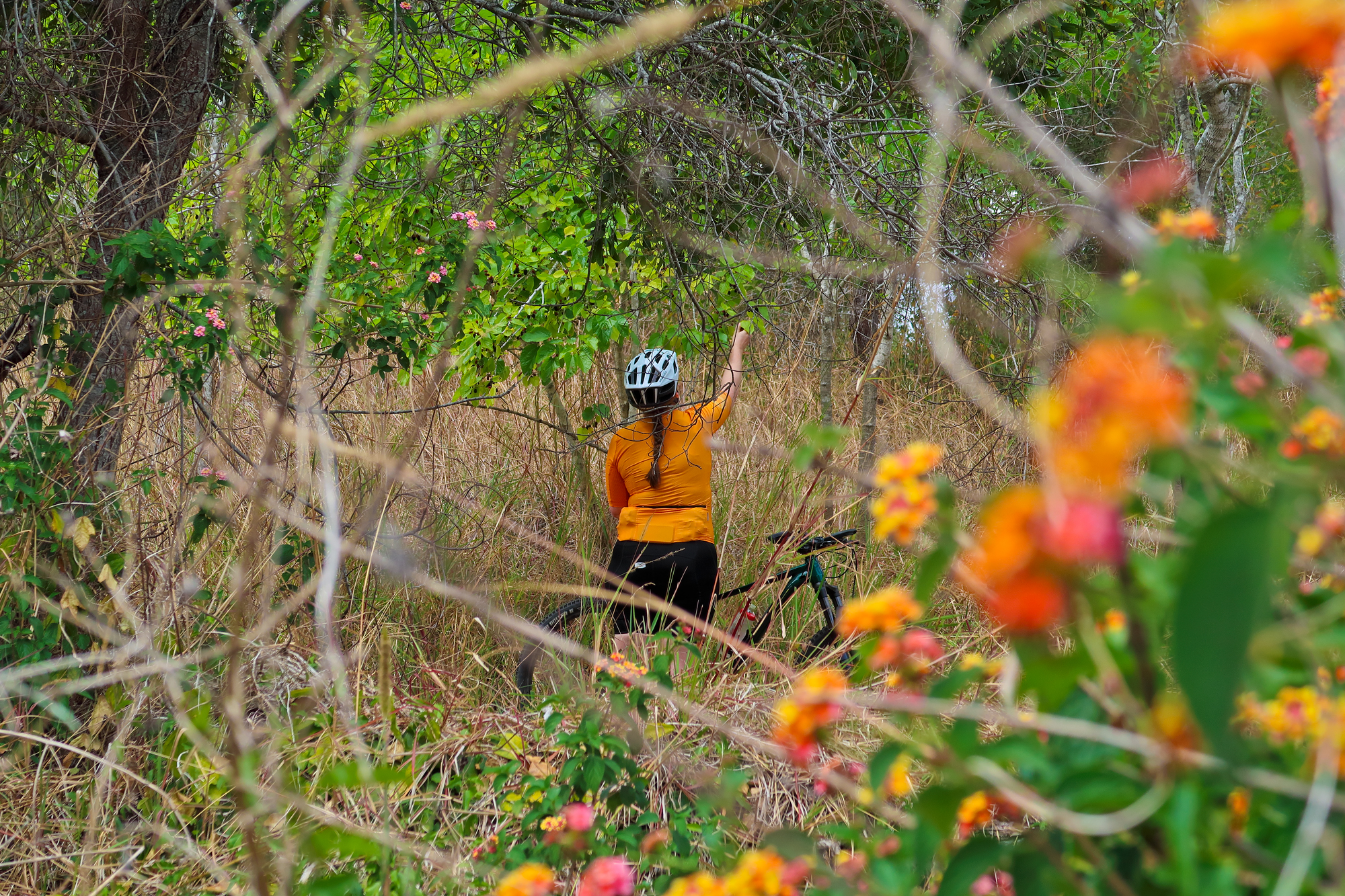
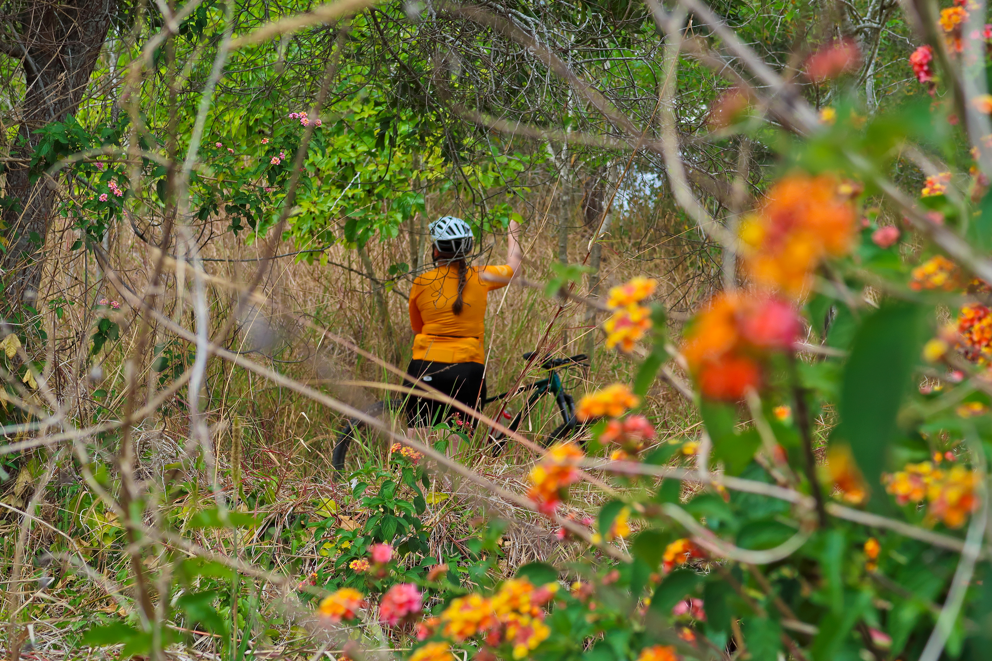
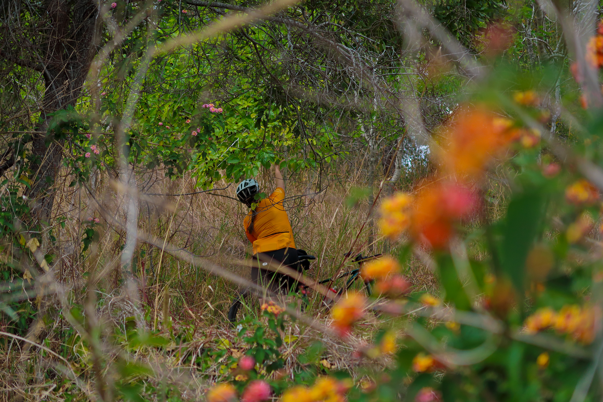
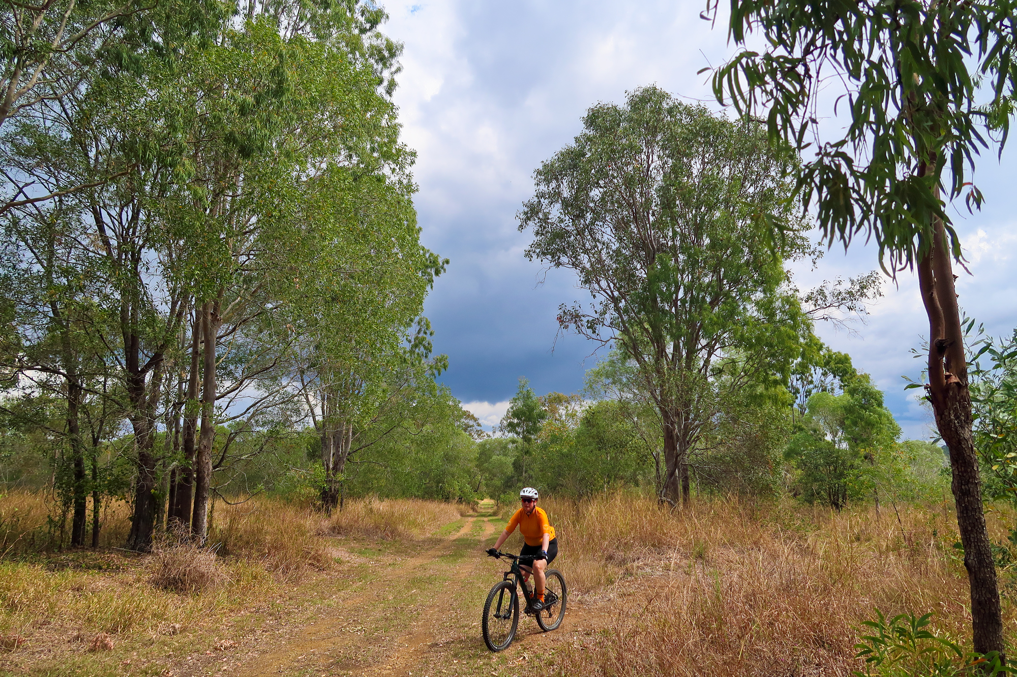
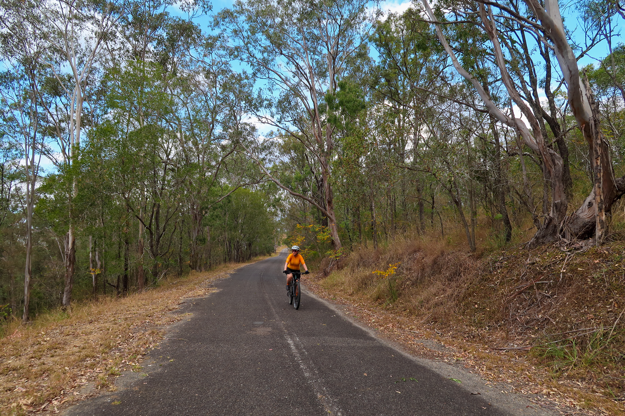
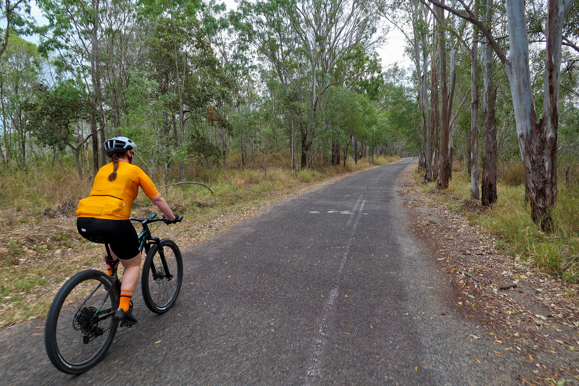
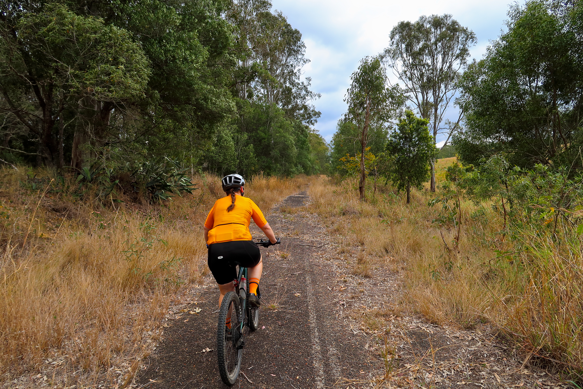
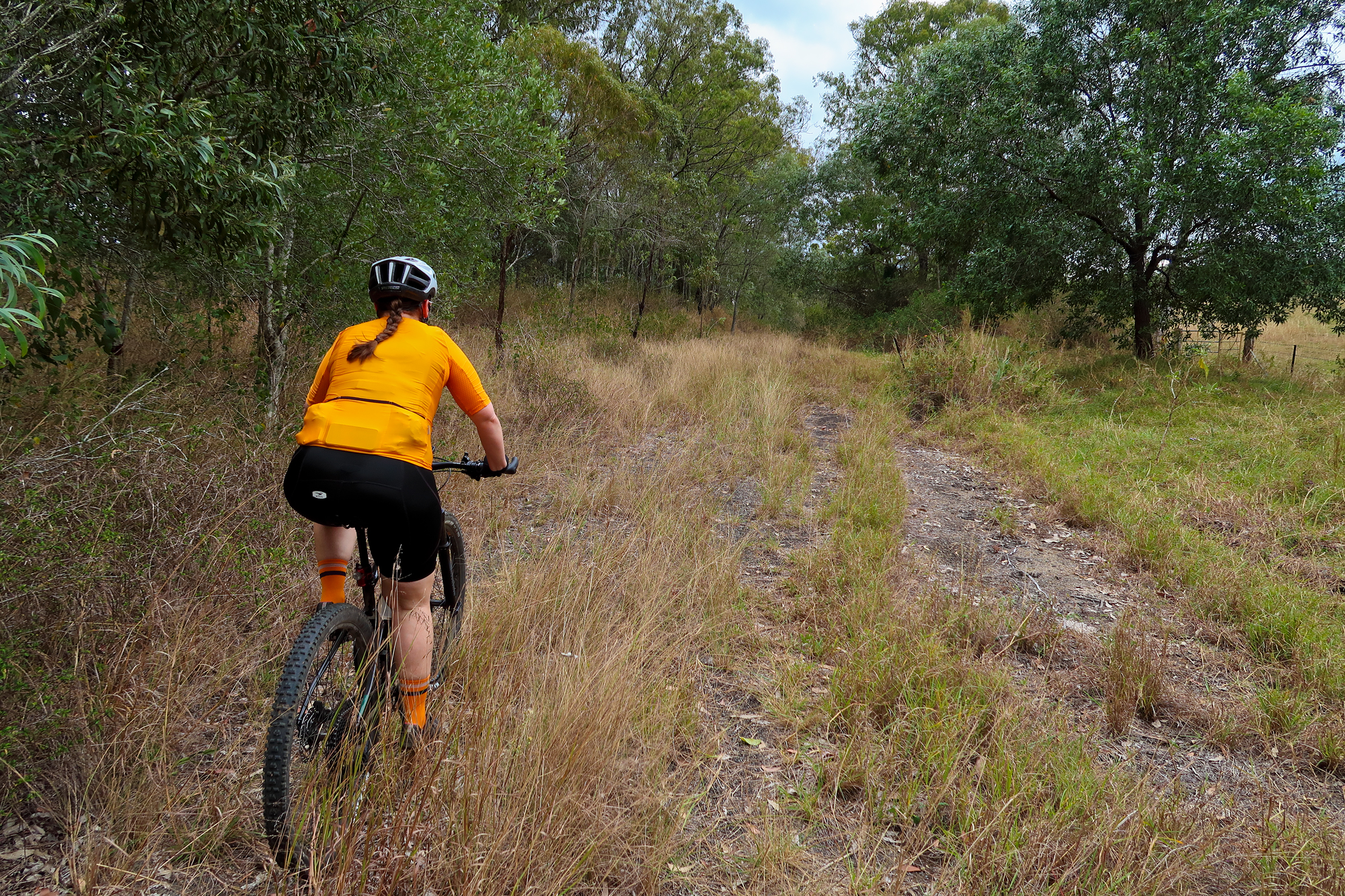
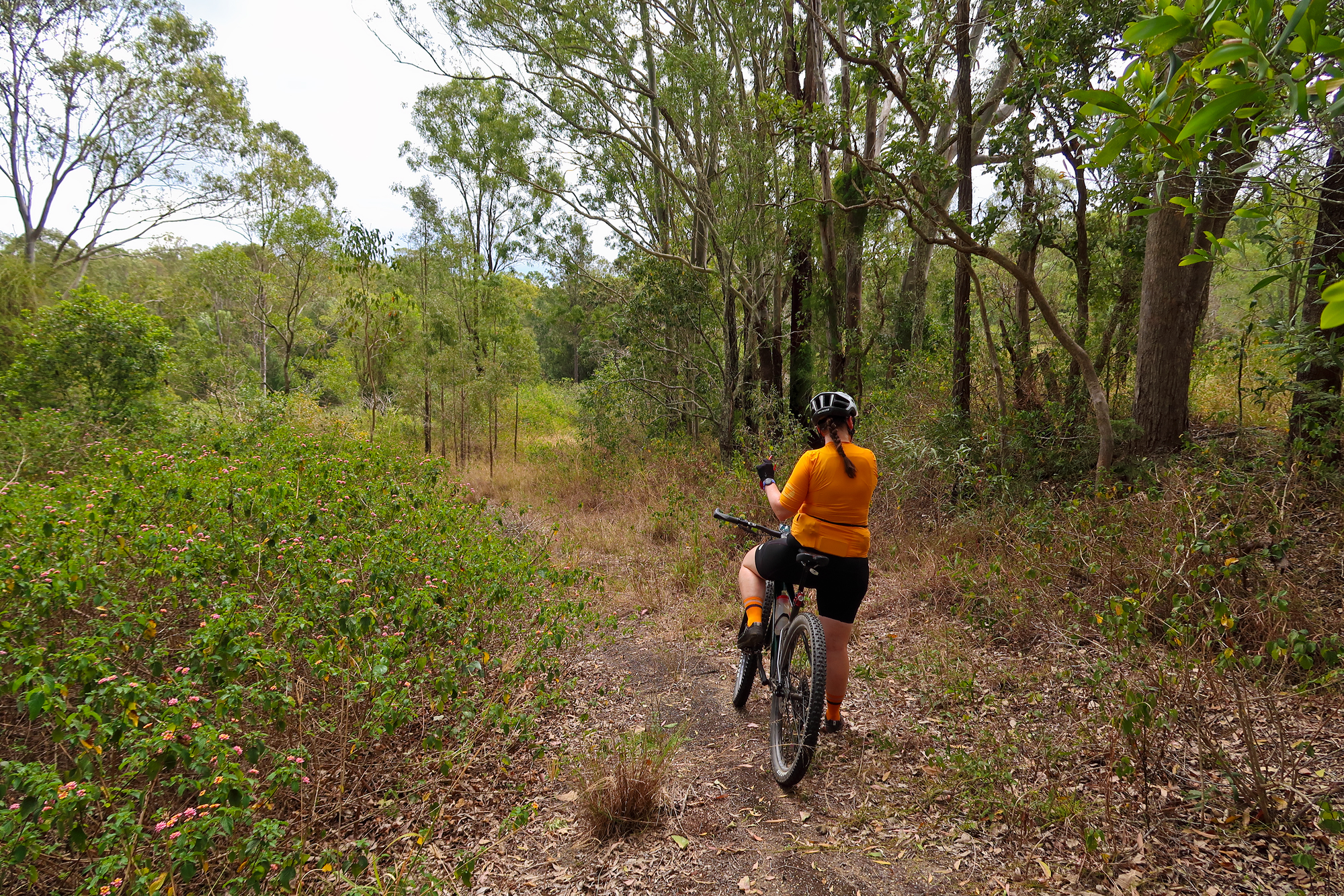
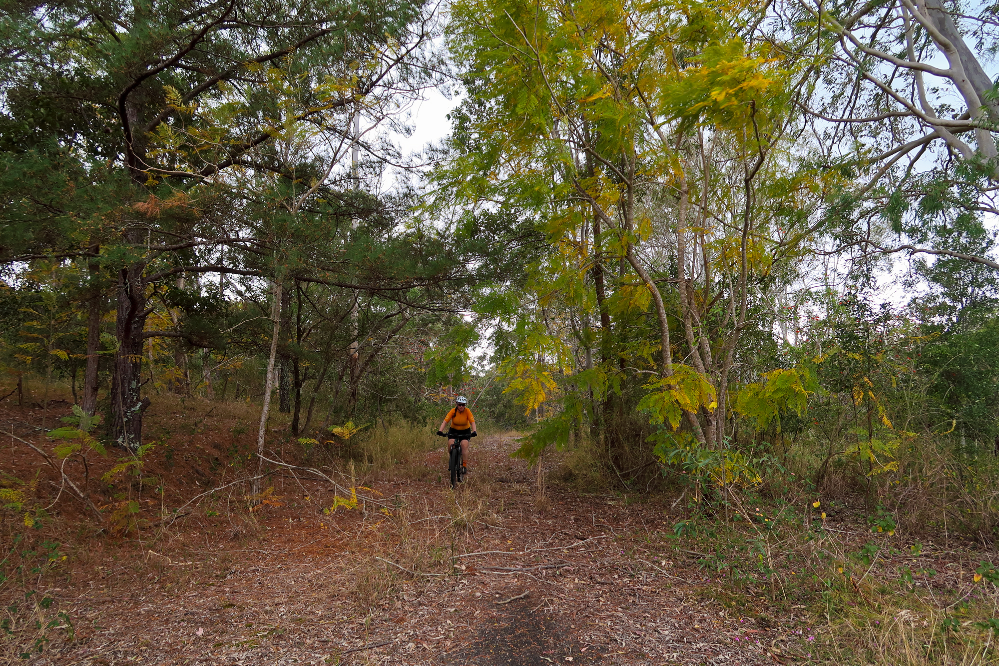
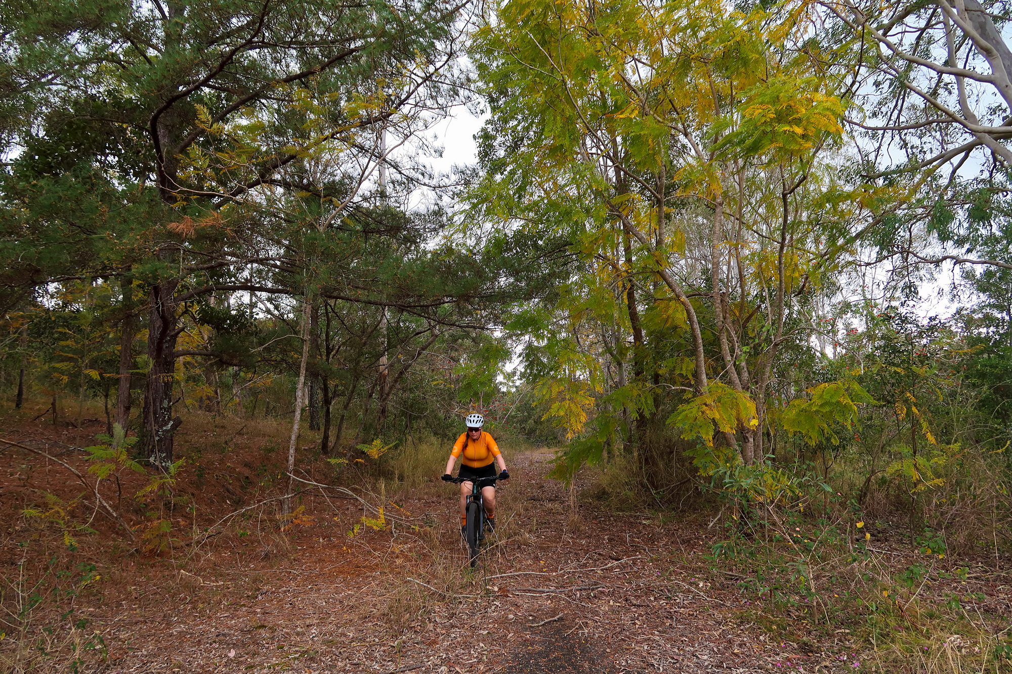
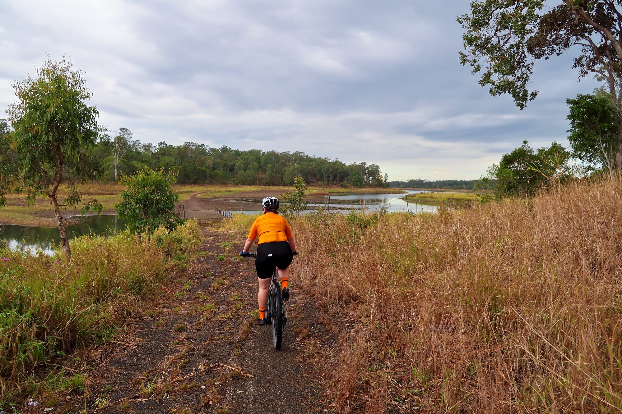
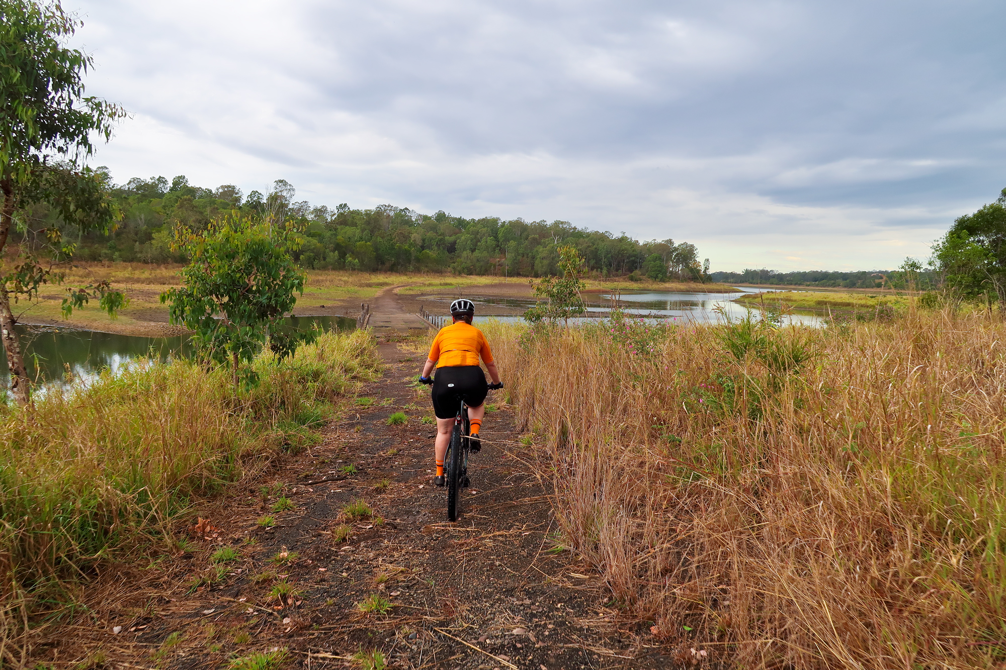
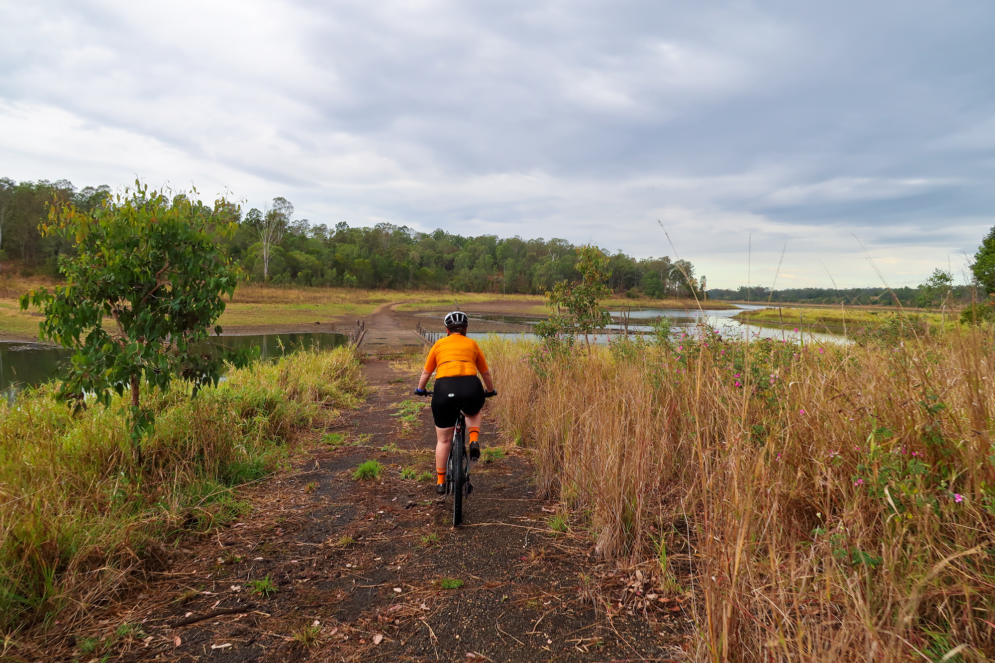
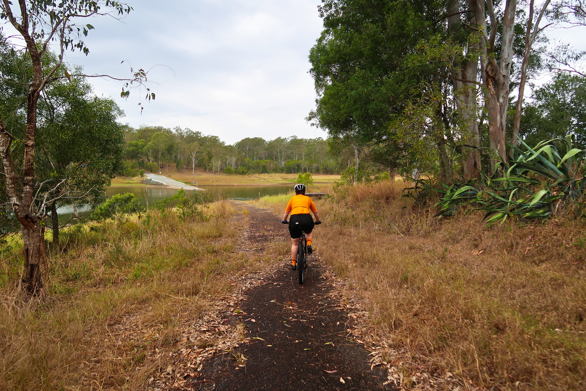
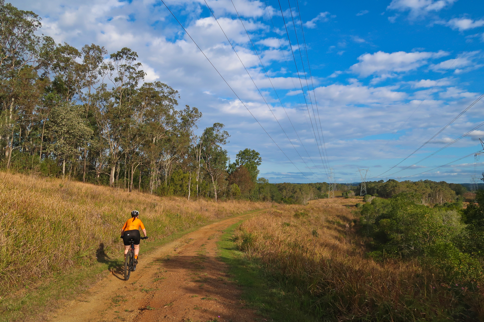
Bronwyn riding along what’s left of the old road out to Dayboro.
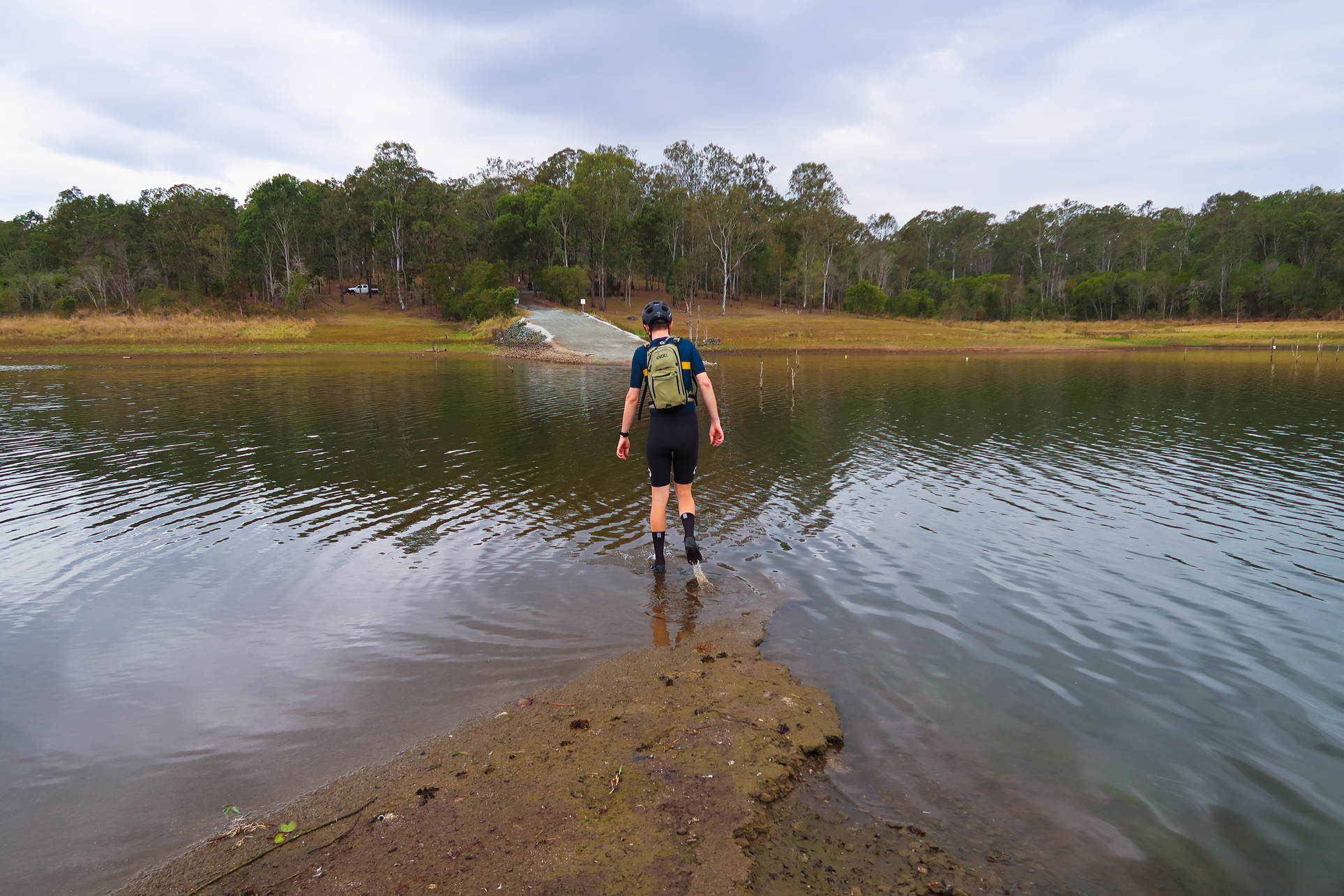
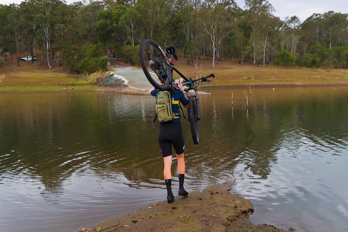
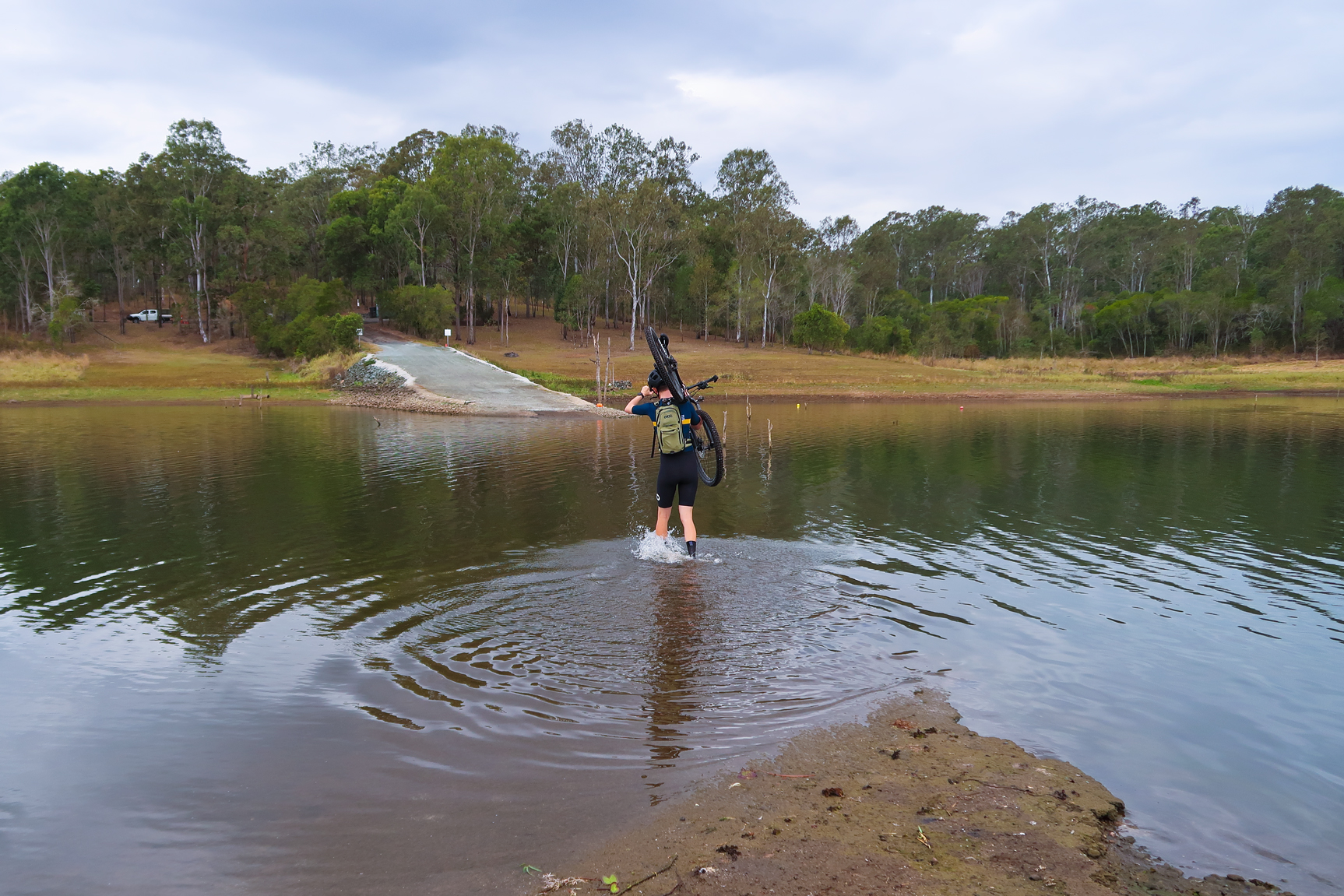
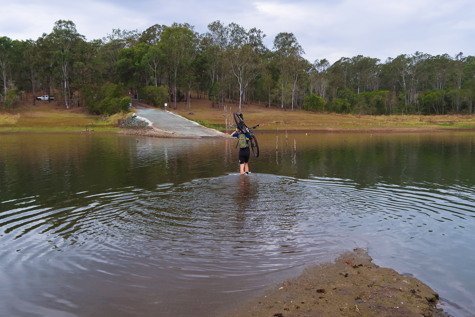
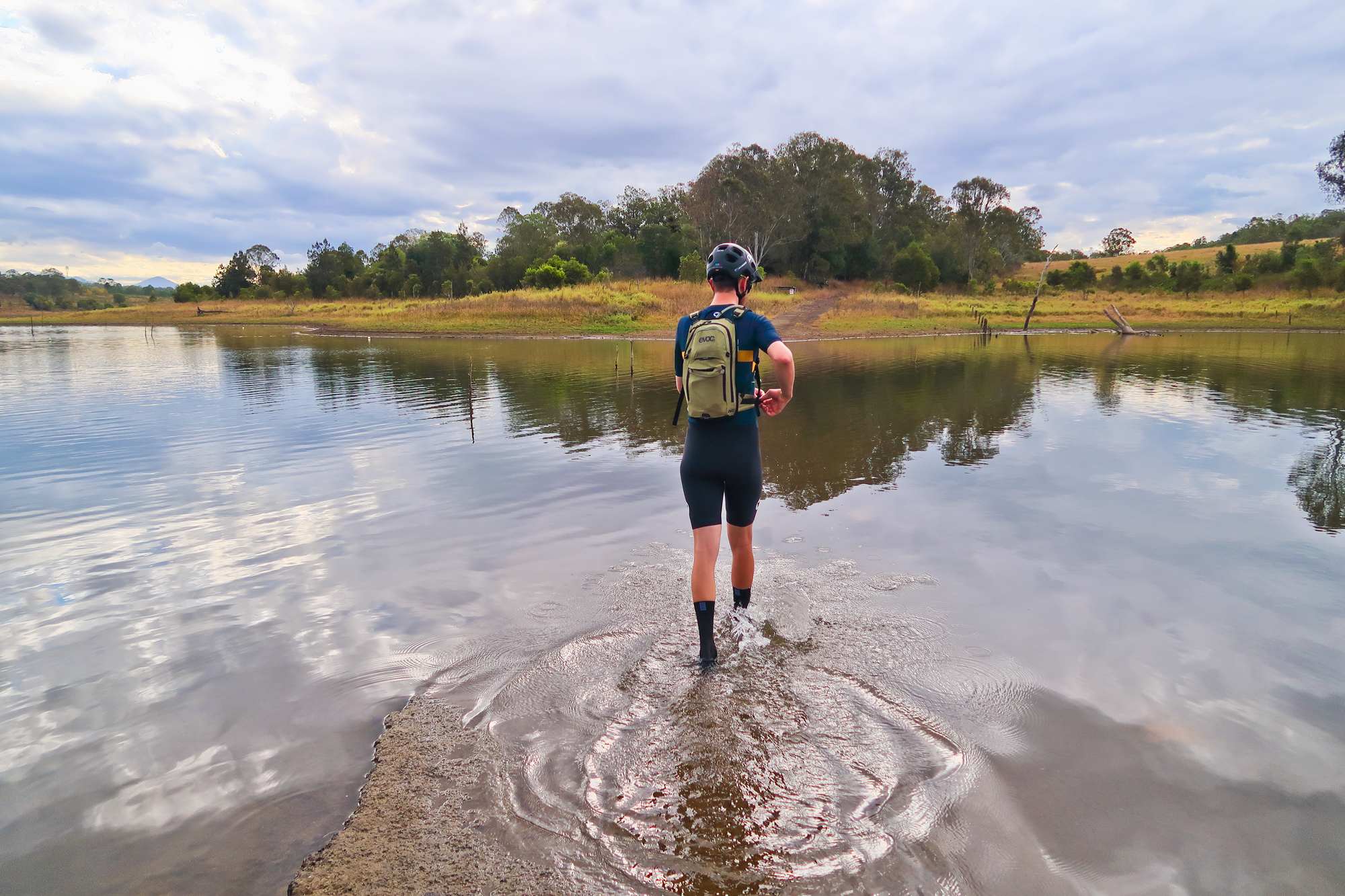
Luke crossing again to collect his mountain bike.
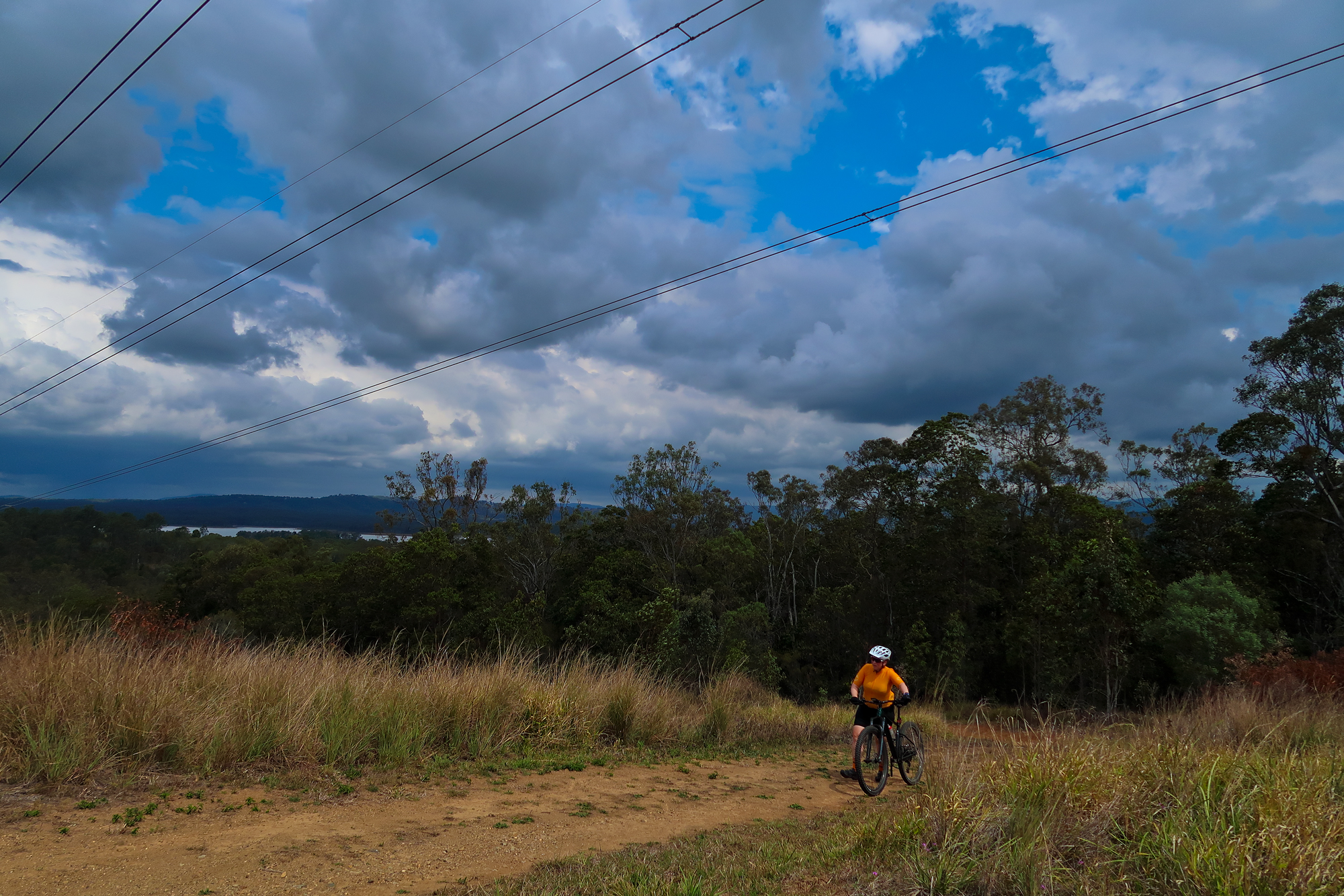
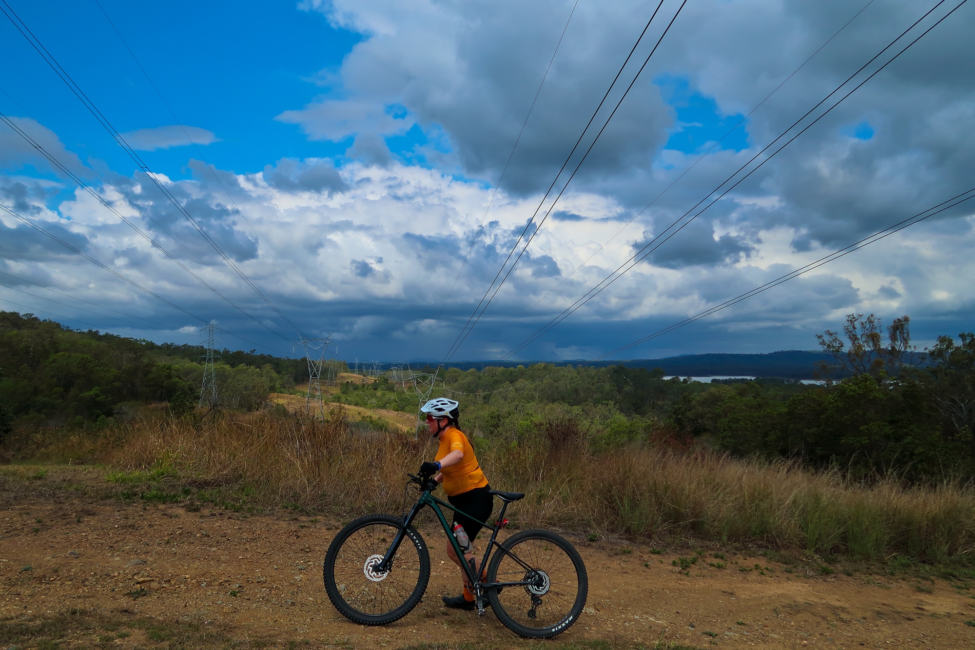
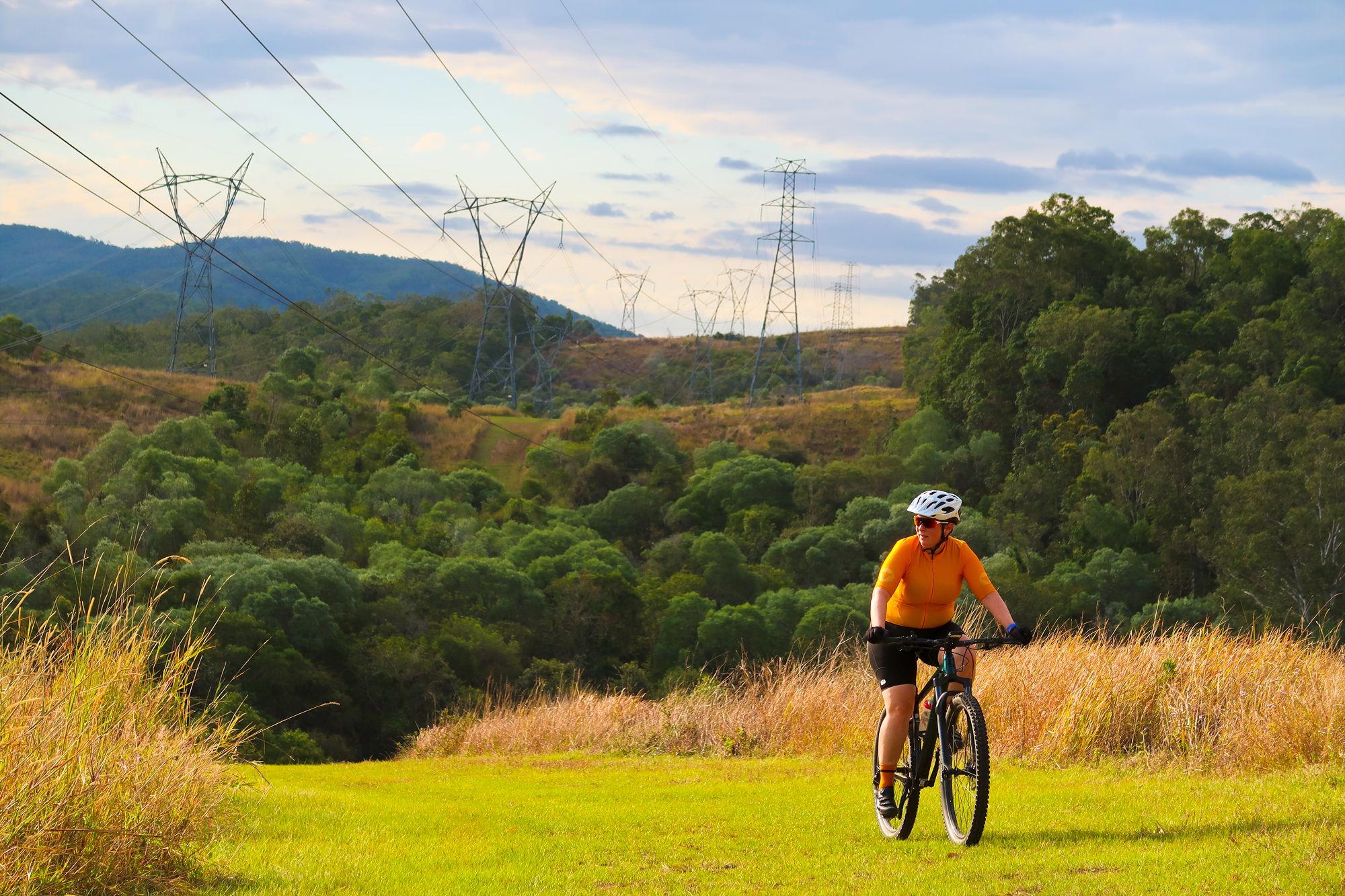
Now was the home finish as we road back underneath the powerlines back to the dam with the setting sun providing some good afternoon lighting.
A setting sun now pokes its head out of the clouds for golden hour.