2025 Elgin vale state forest explorer 01
elgin vale state forest explorer
1
day
54
kms
1900
meters climbed
Our route via RideWithGPS
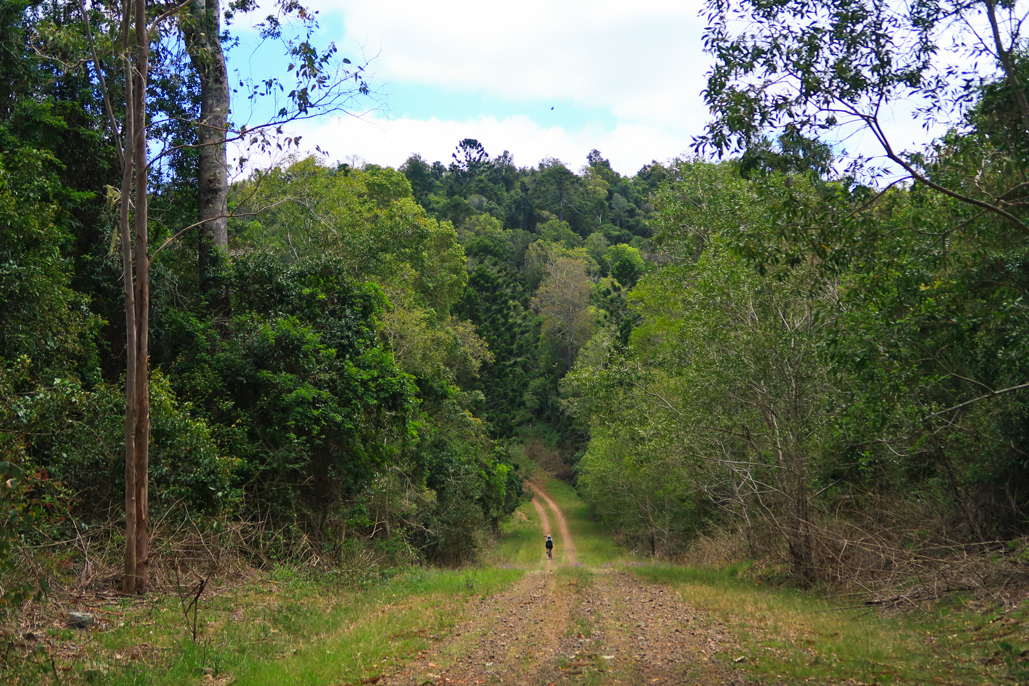
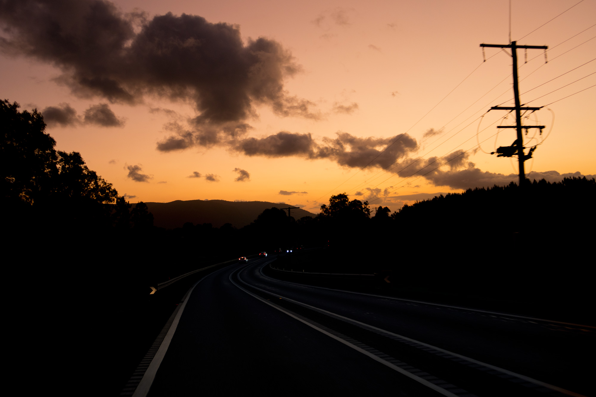 The trip to Linville the night before was interesting with the setting sun providing some great lighting.
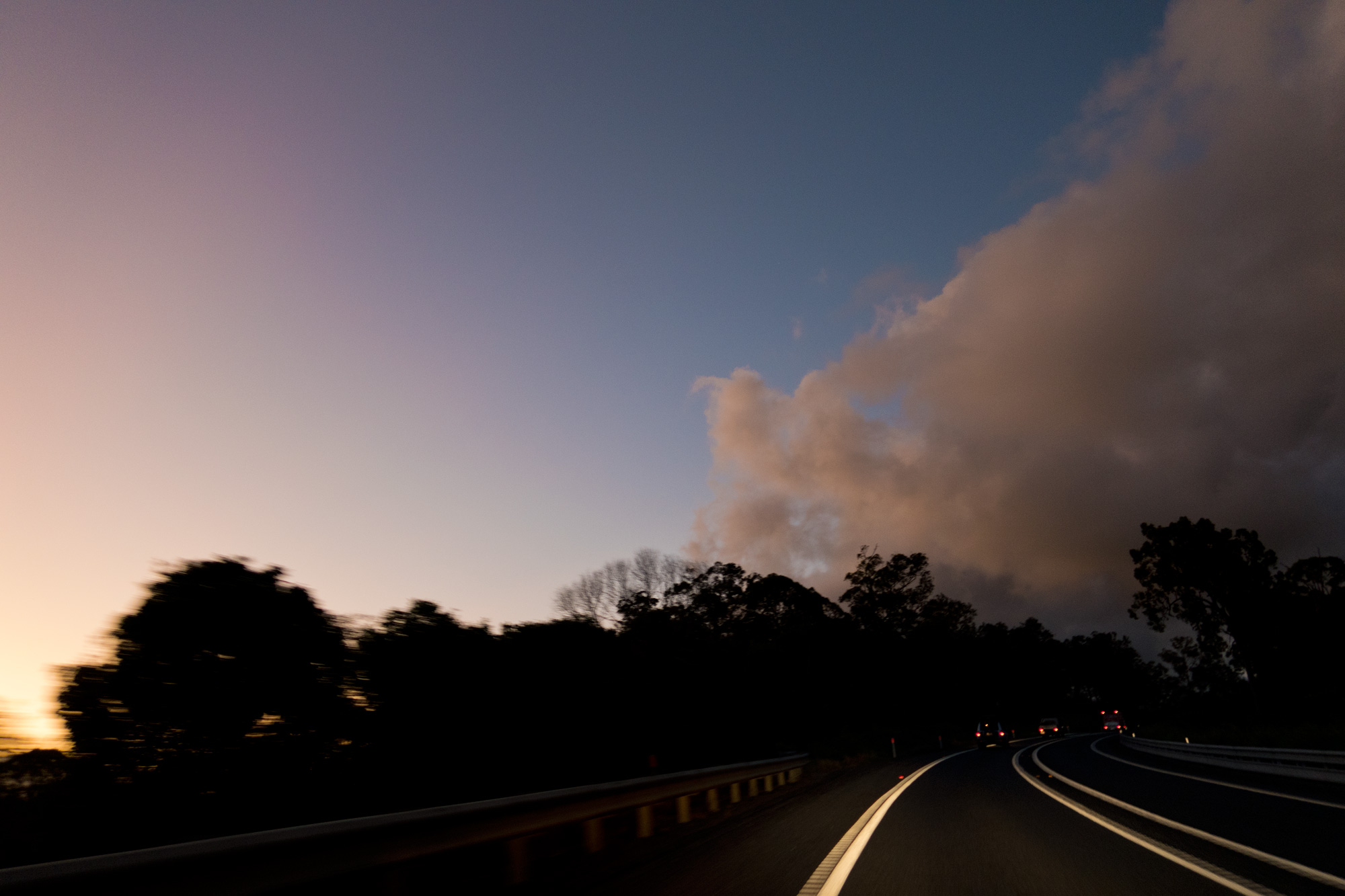
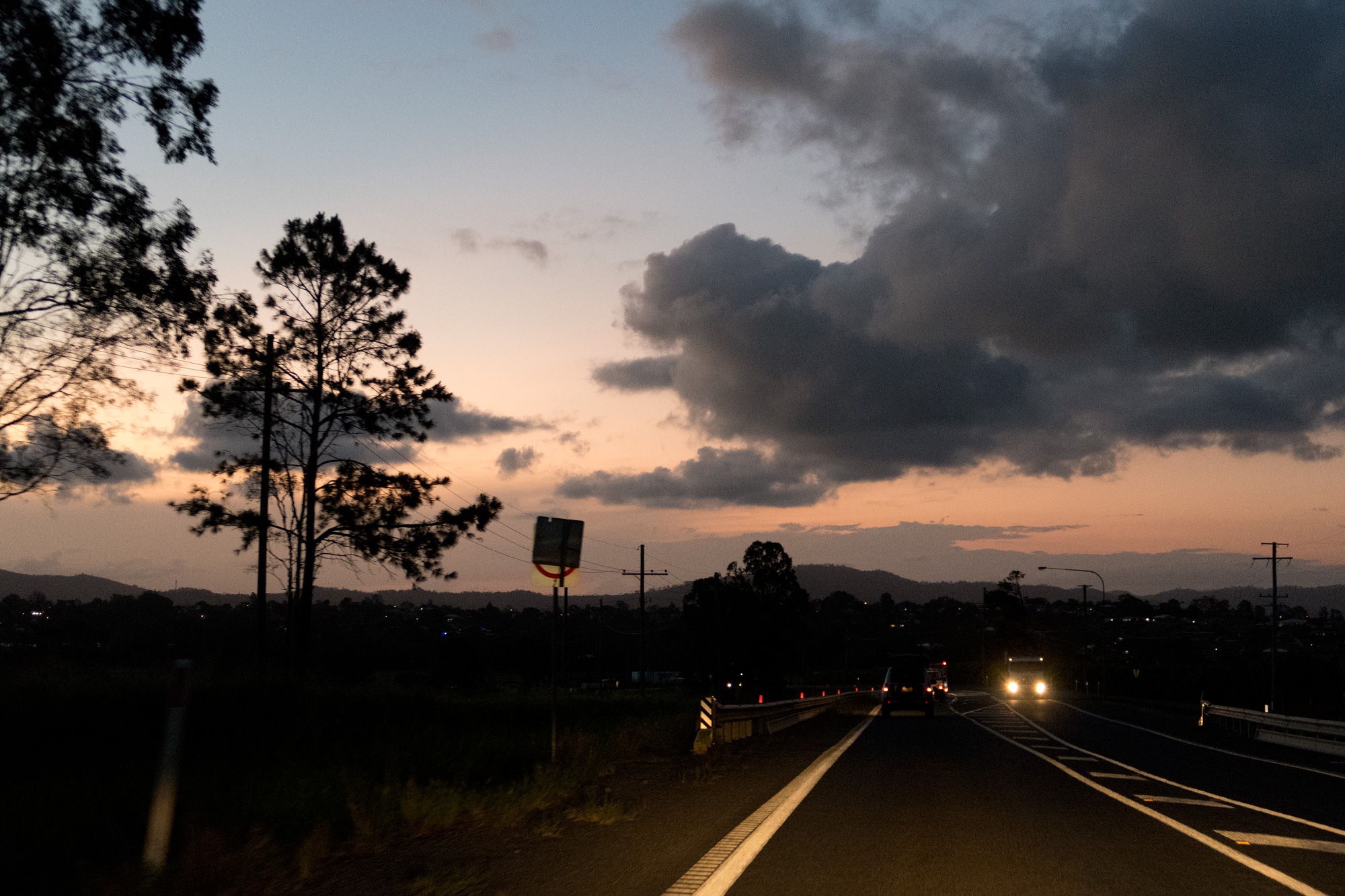
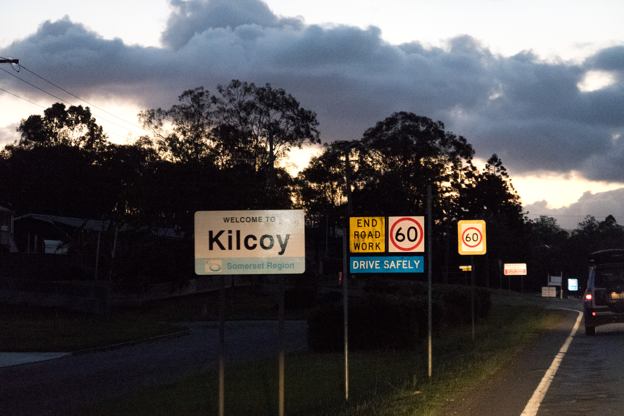
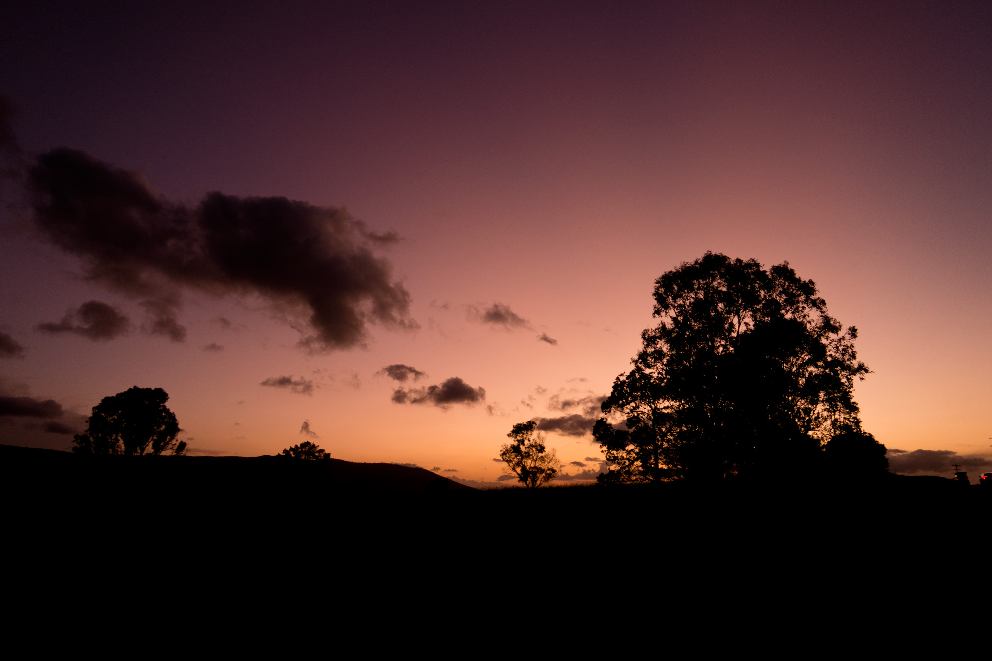 The trip to Linville the night before was interesting with the setting sun providing some great lighting.
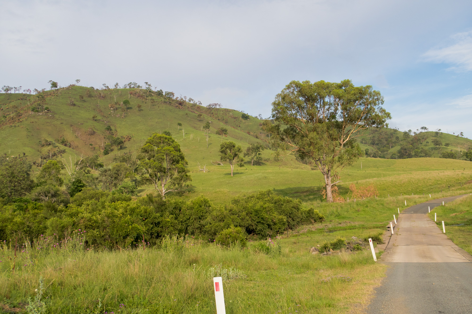
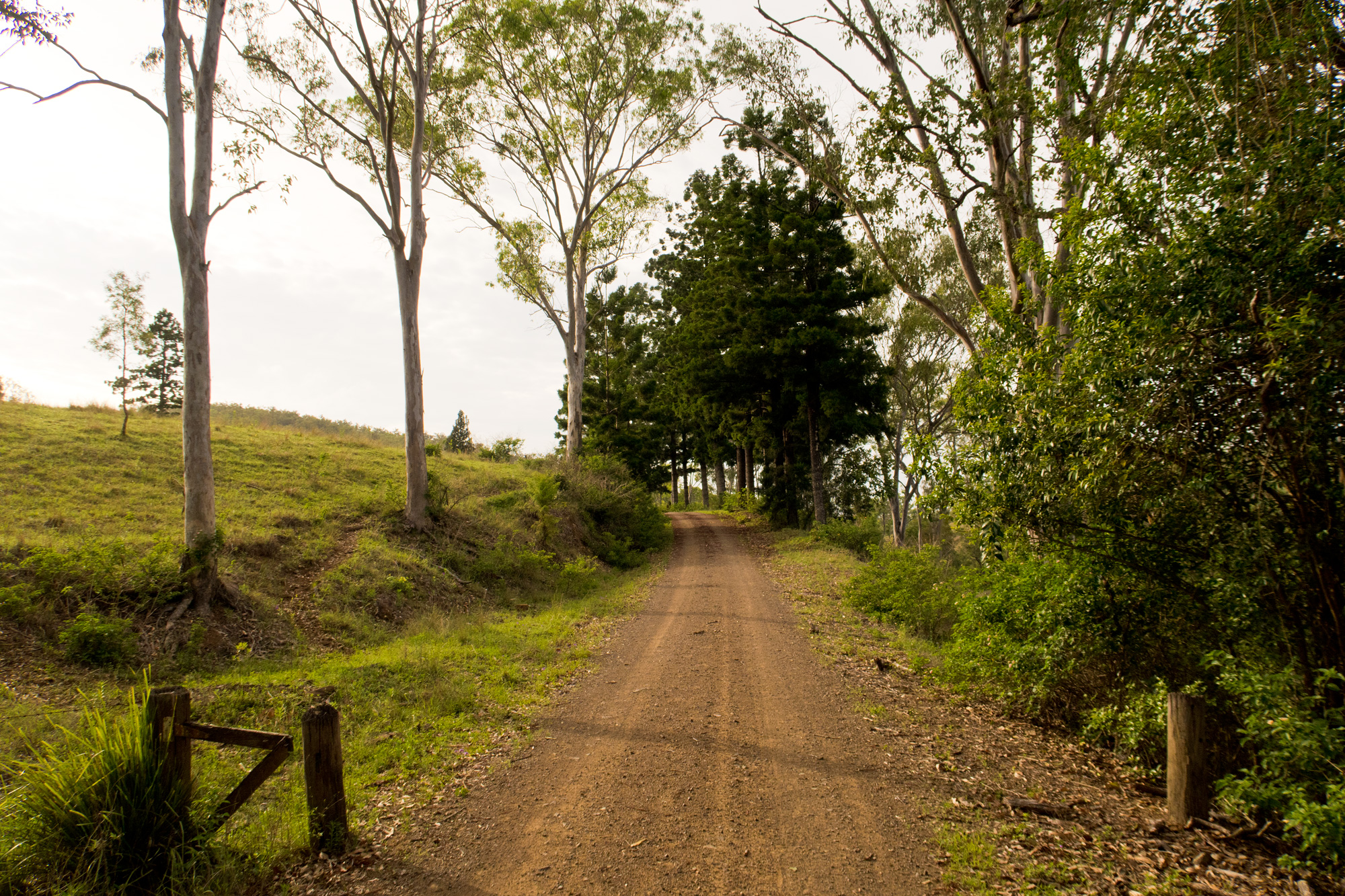
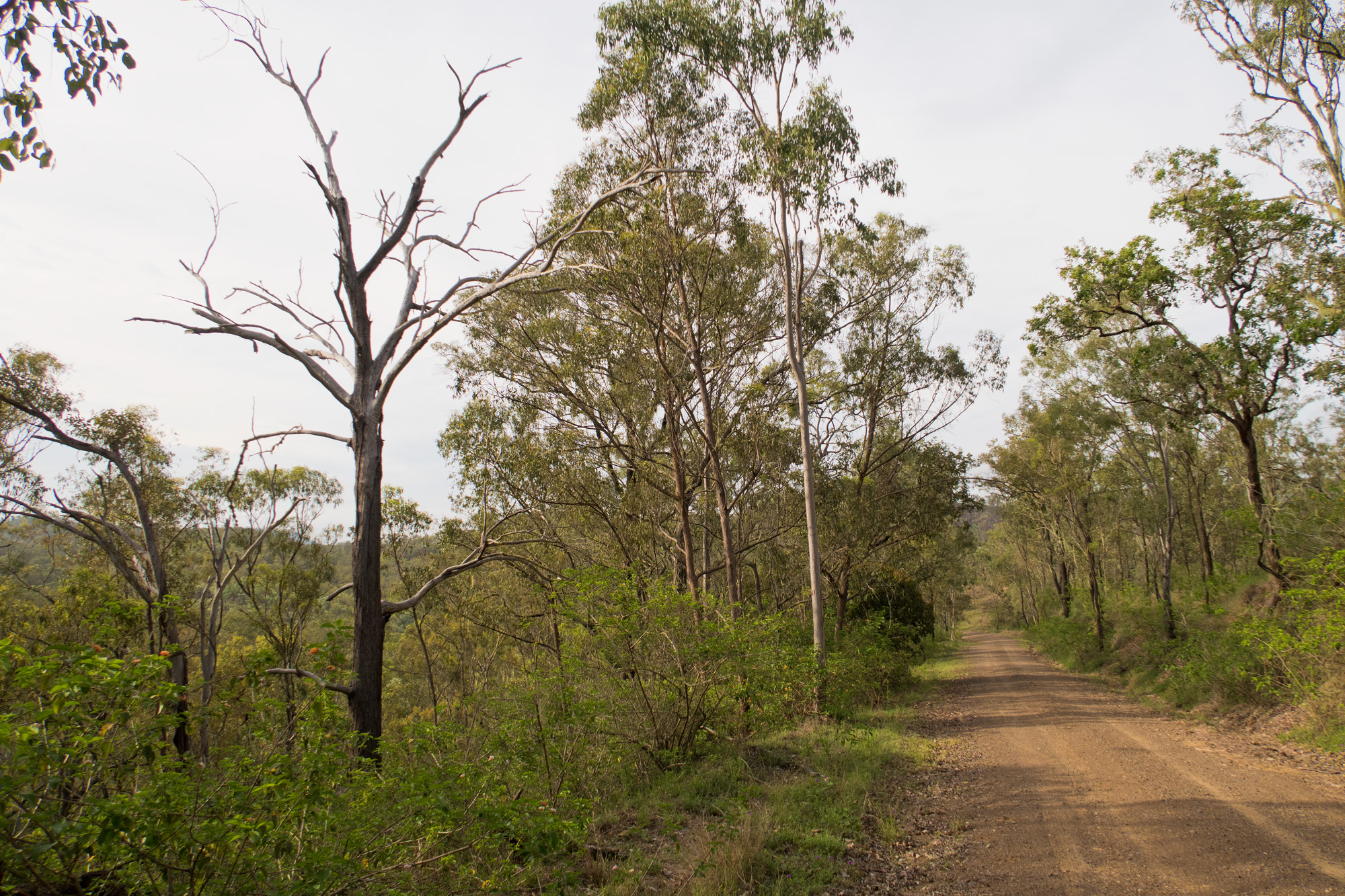
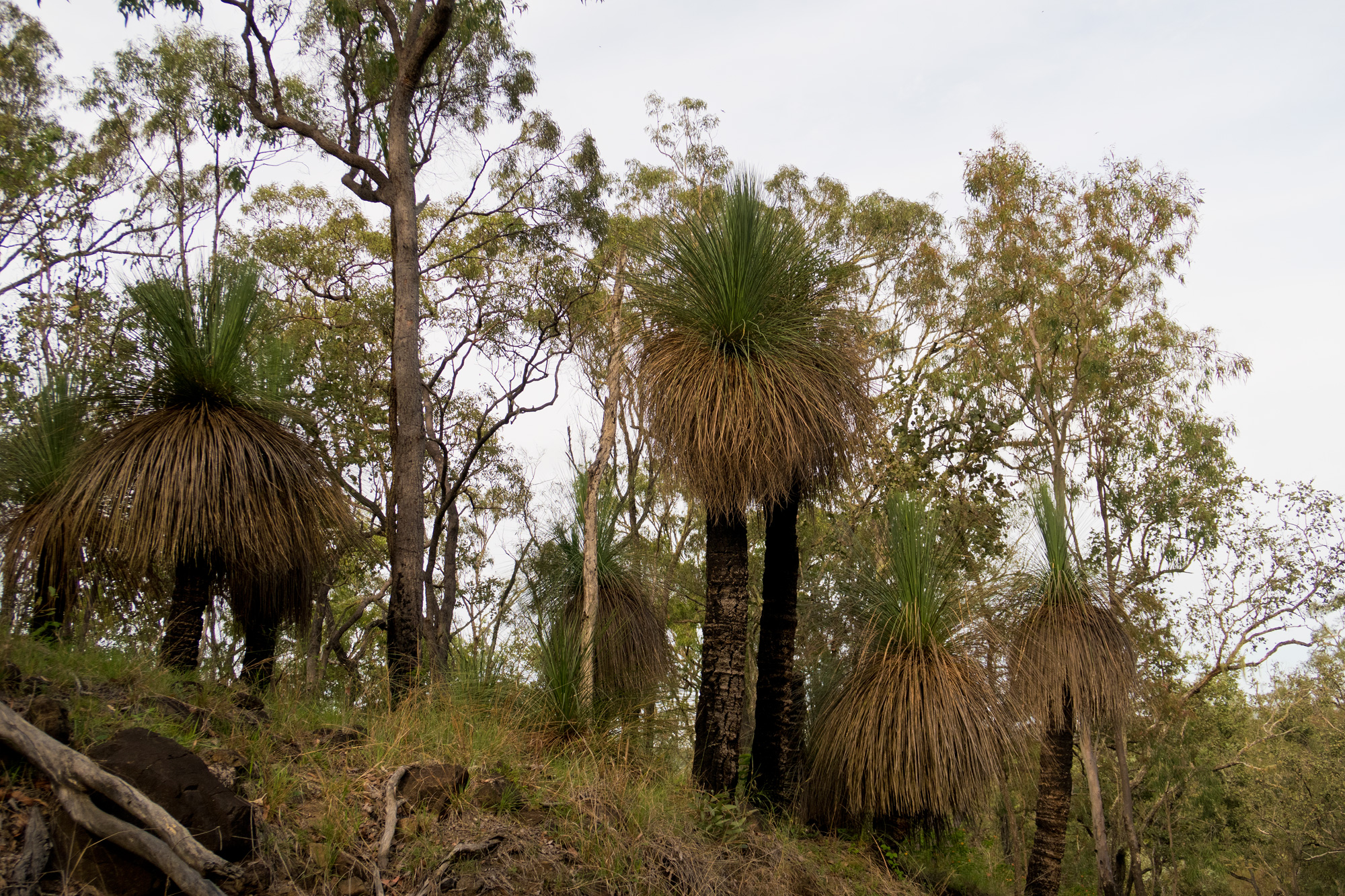
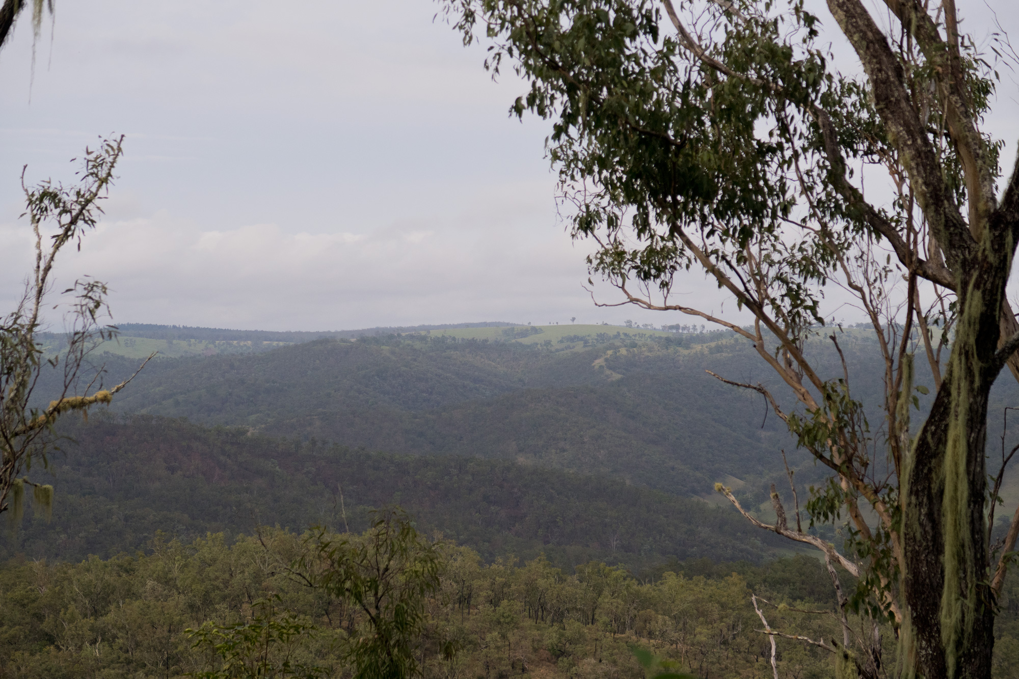
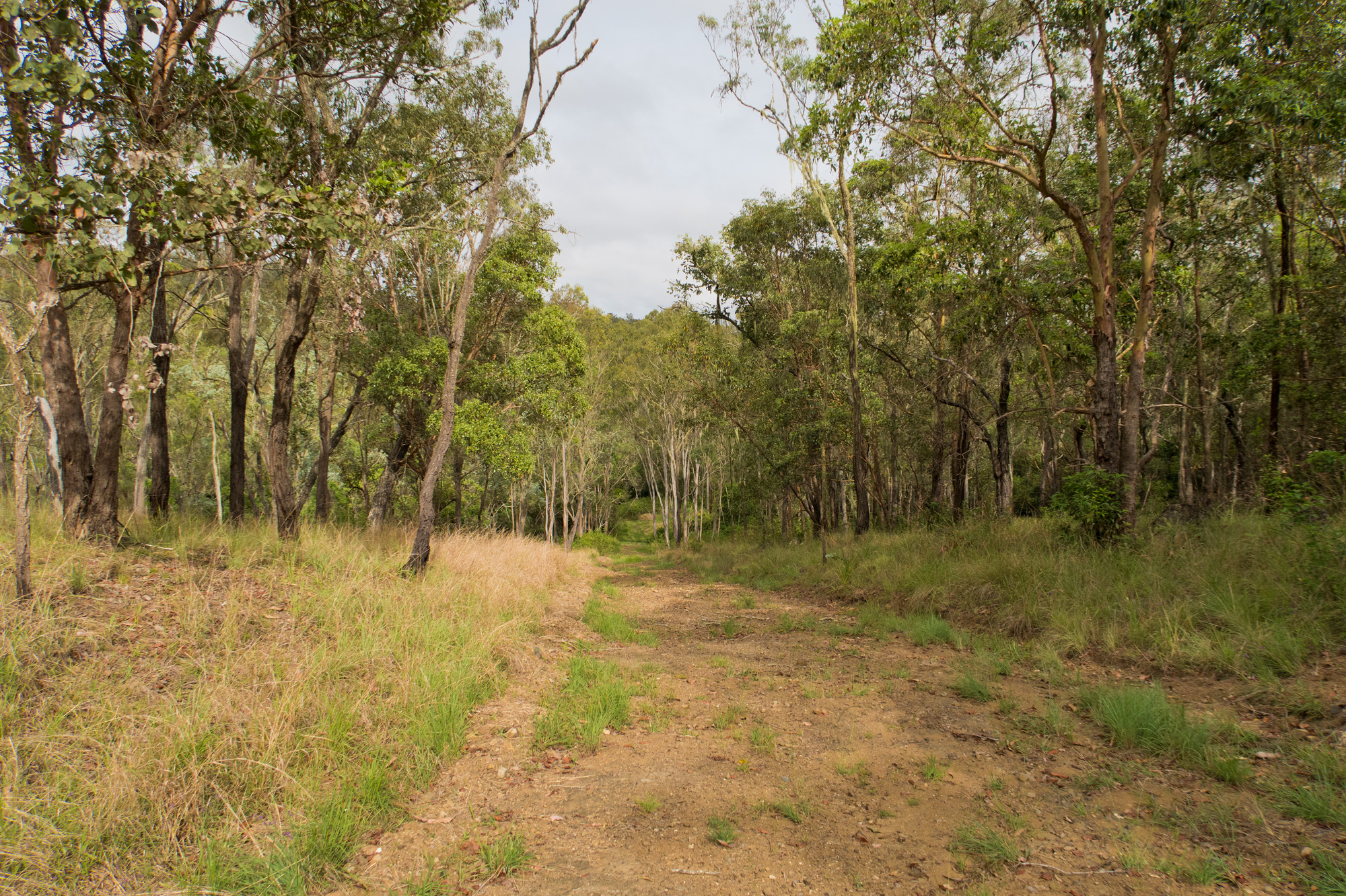
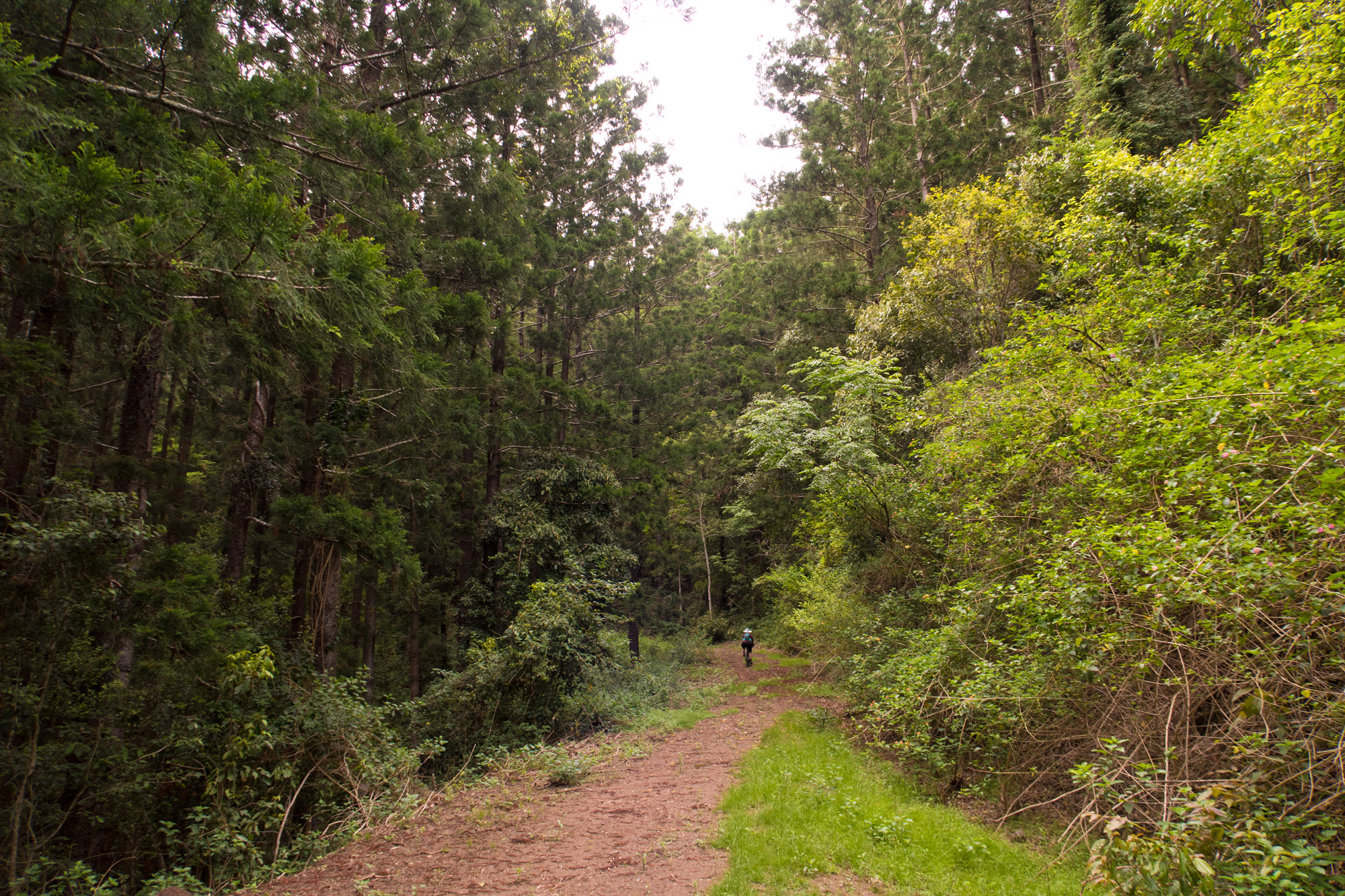
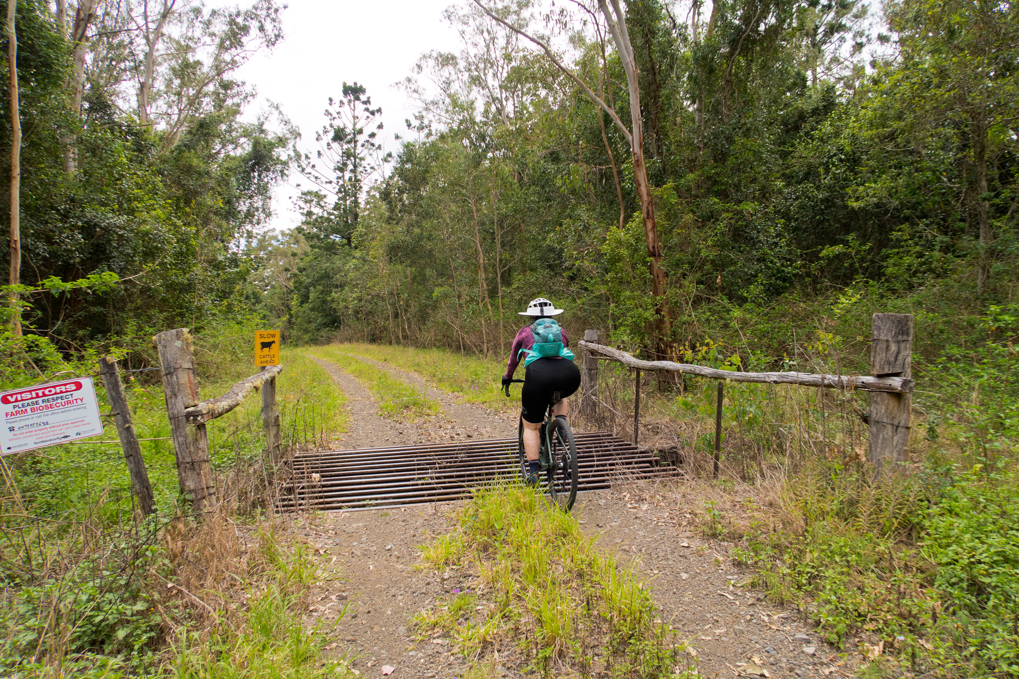
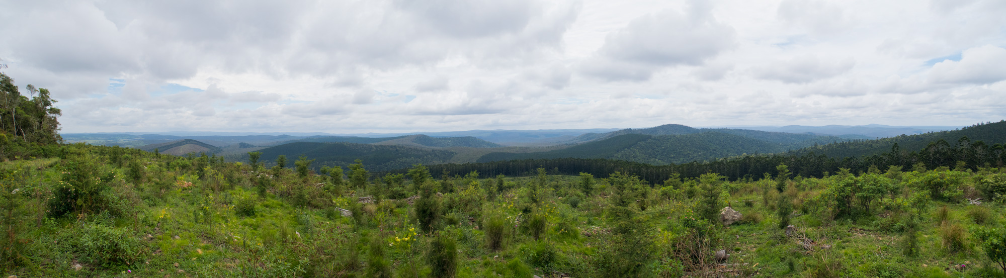
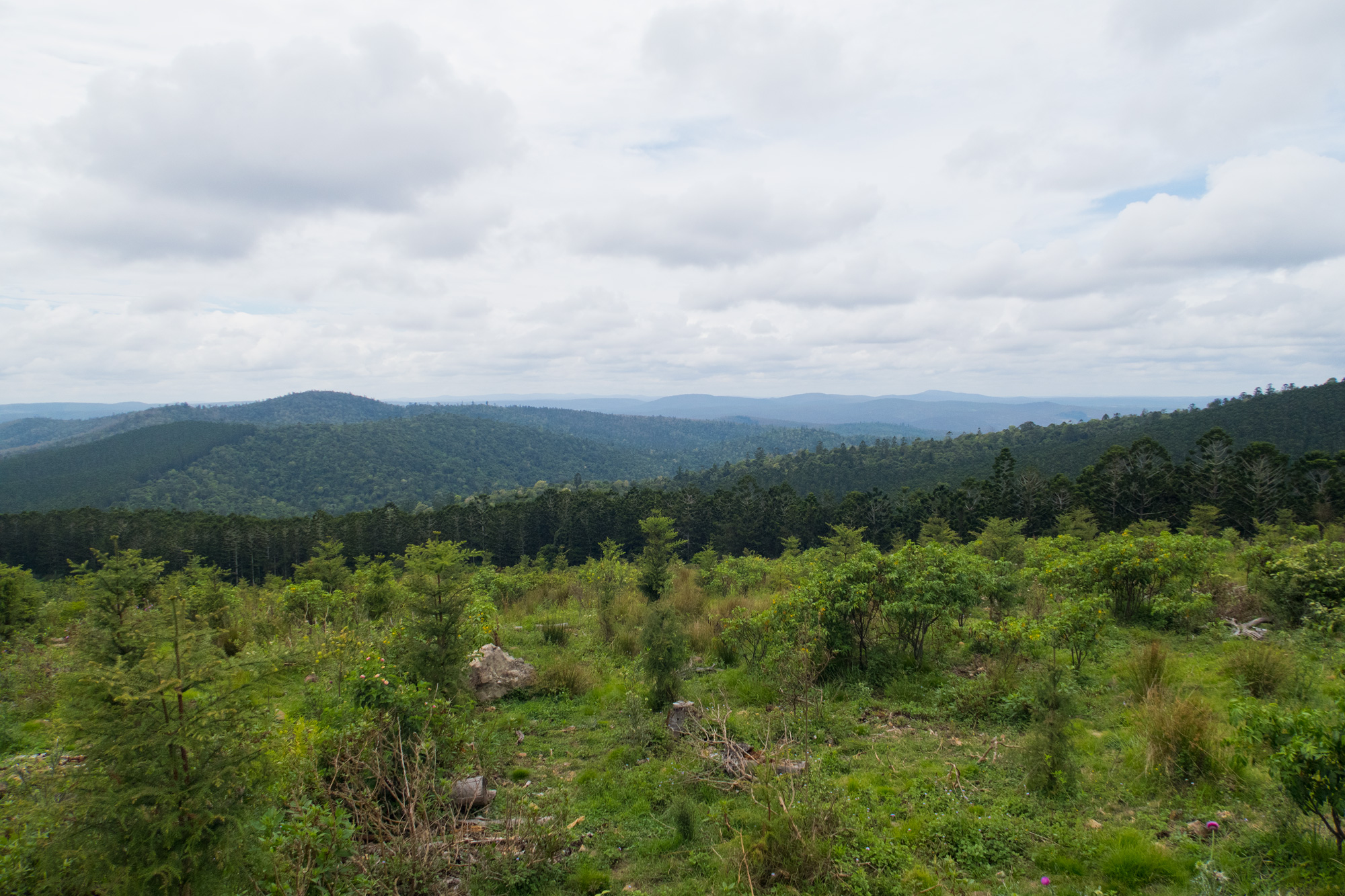
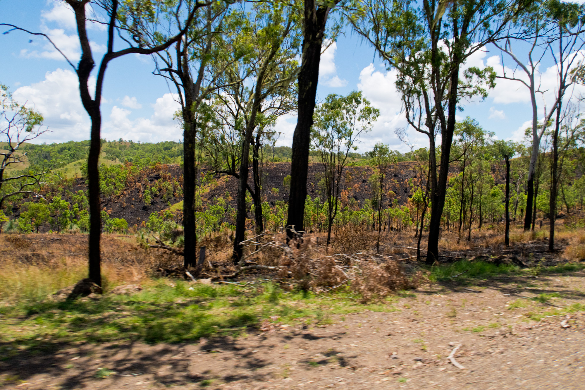
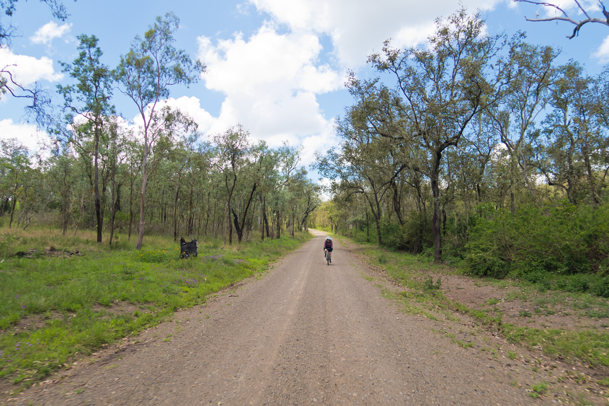
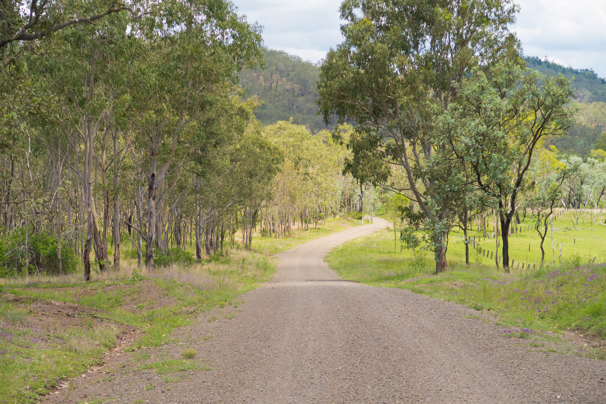
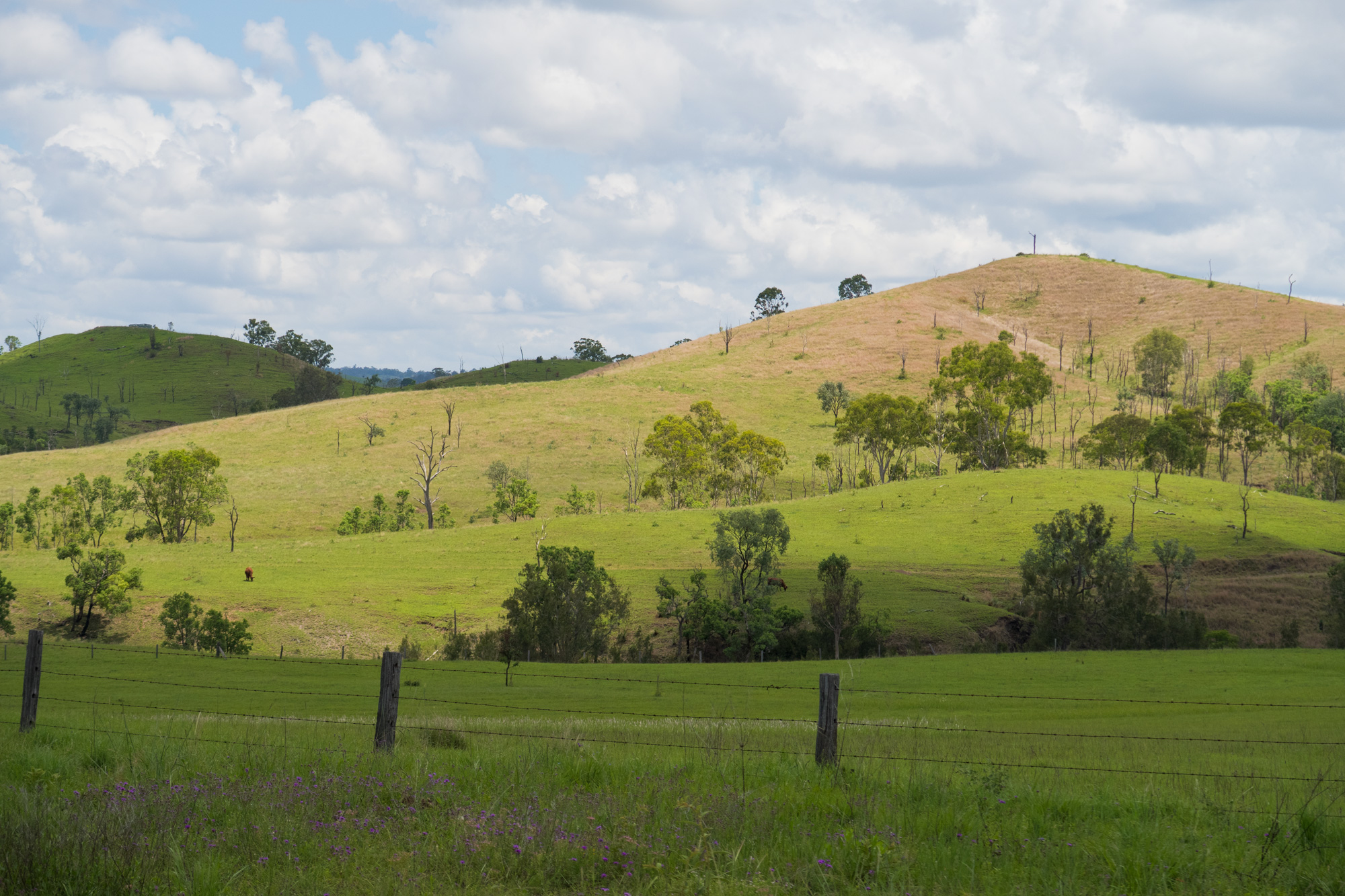
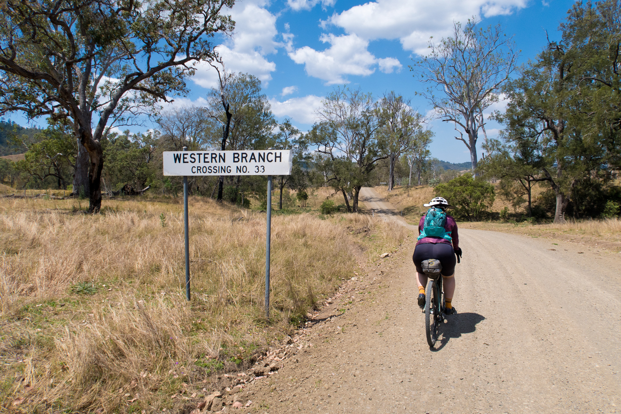
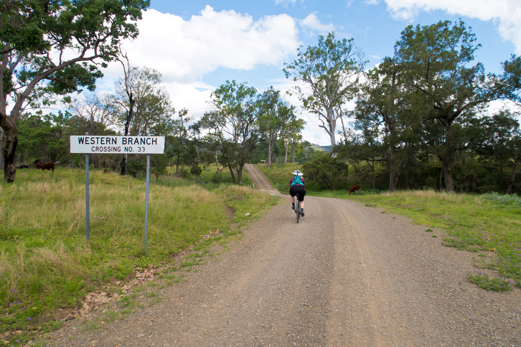
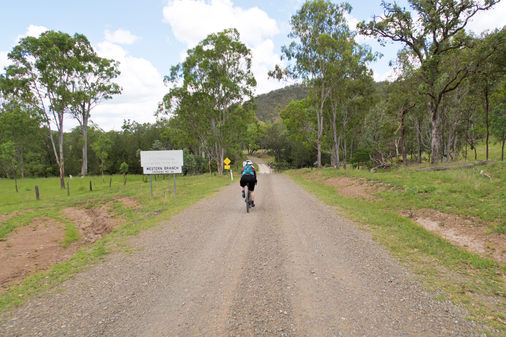
From Linville we made the trek out along the Western Branch Road where the plan was we would then duck into the Mount Stanley state forest, up to Elgin Vale with a couple loops and back out again. Along the way it was obvious the impact that the last few storms have had on the area. The month before the whole area was starting too look a little dry with some areas undertaking hazard reduction burns – so burnt out in some areas. But this time it was very green. In the areas where hazard reduction burns took place the regrowth was greener than sections that was unburnt.
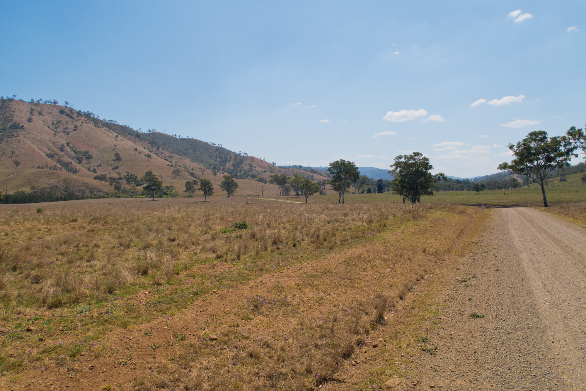
October 2025 on the left vs November 2025 on the right.
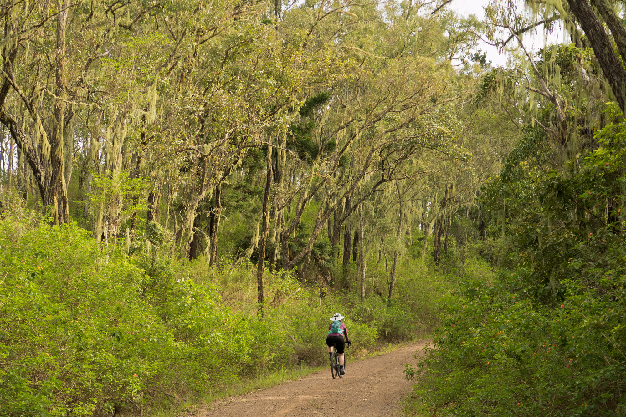
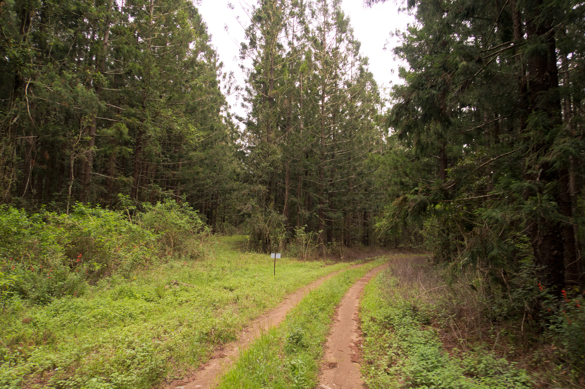
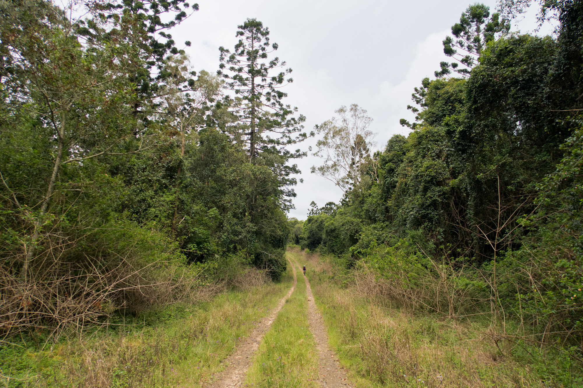
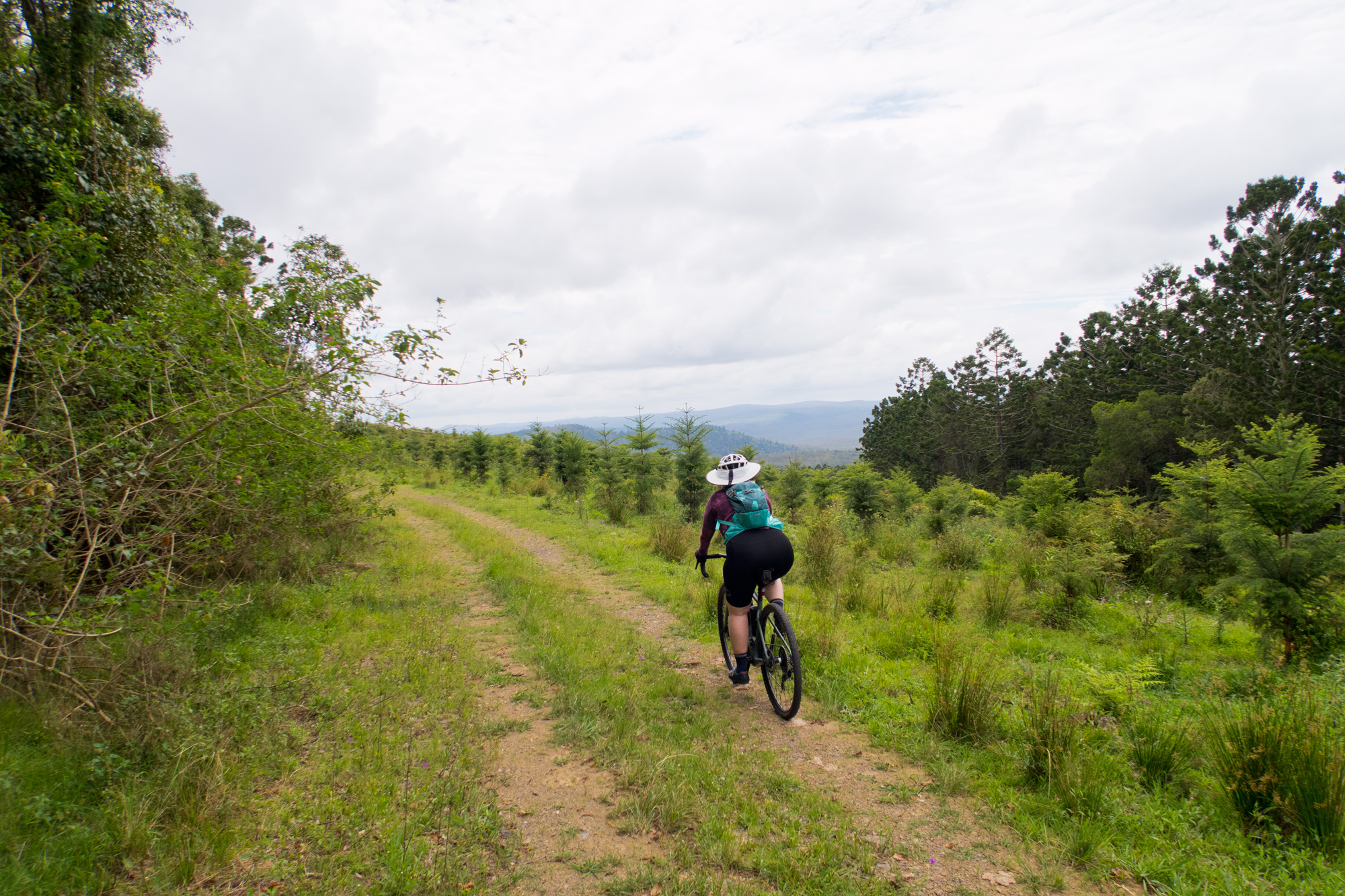
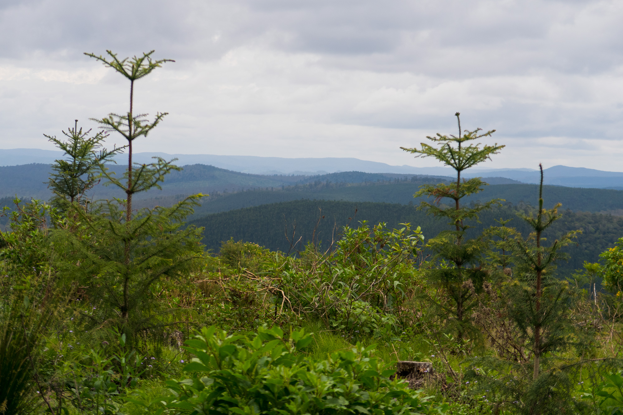
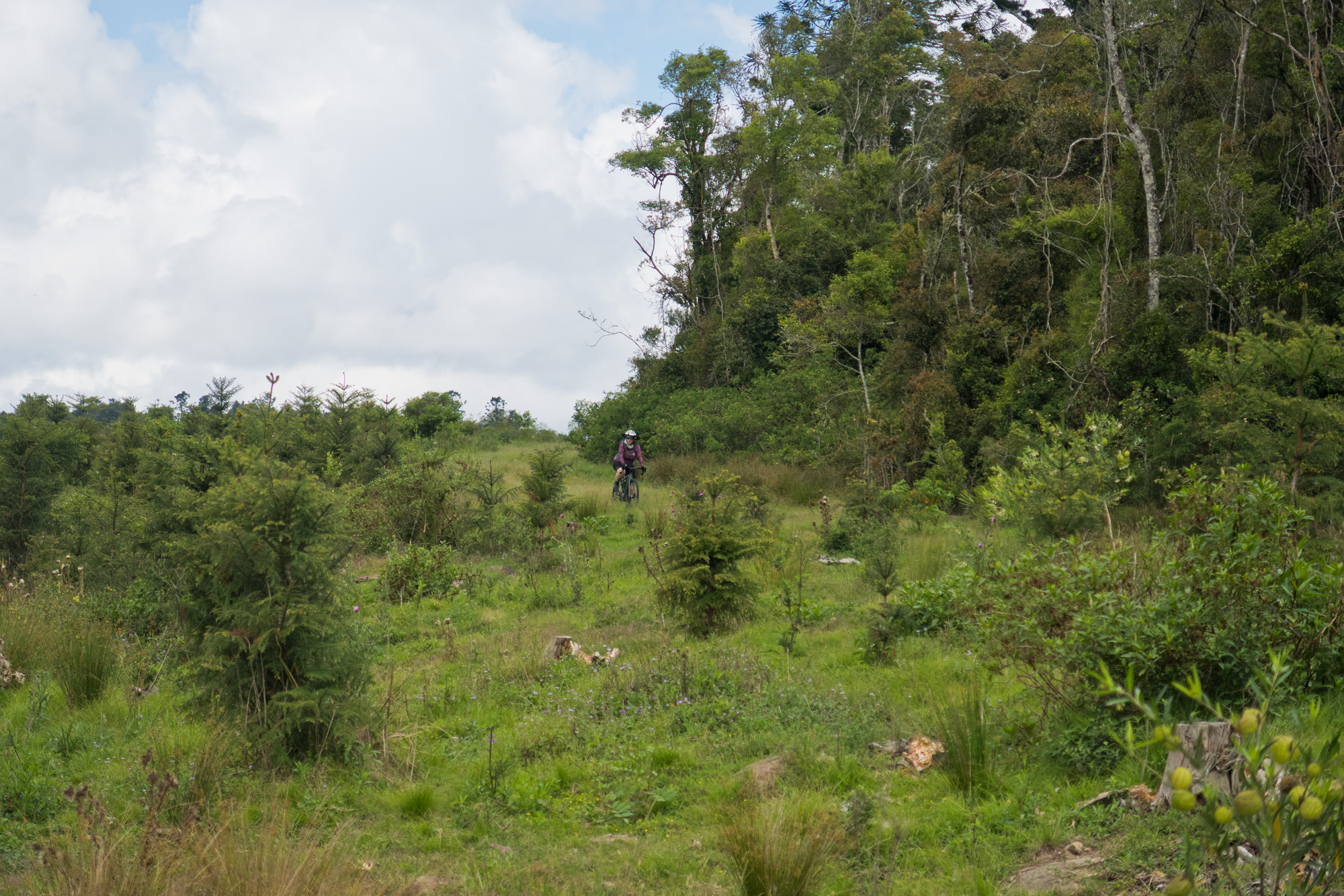
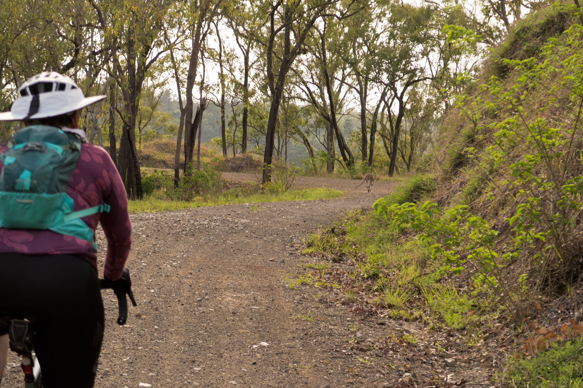 Kangaroos were plentiful riding up Wombi Creek Road (Western Eastern Branch Link).
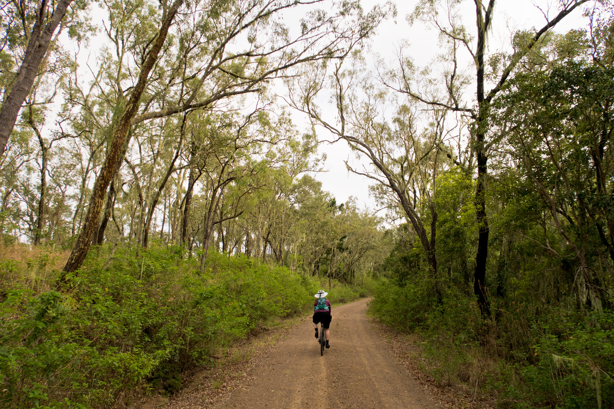
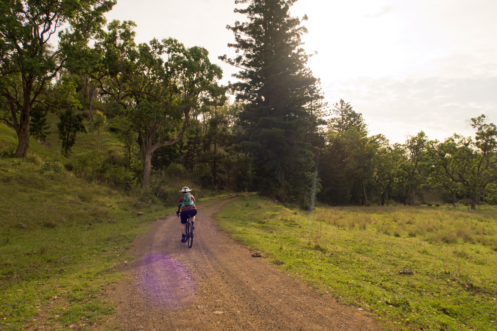
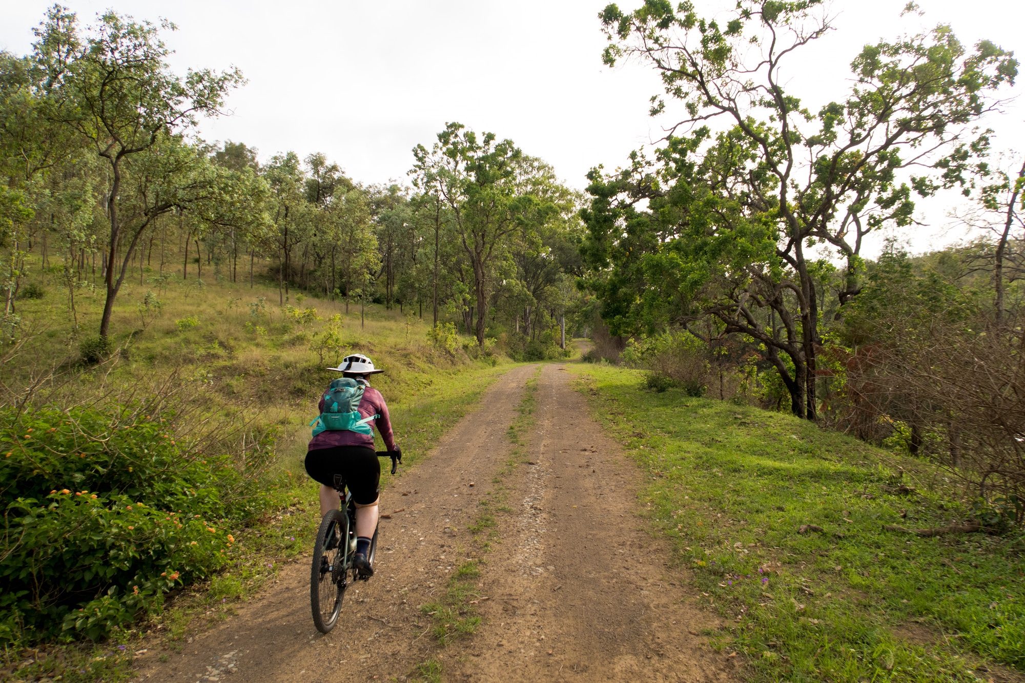
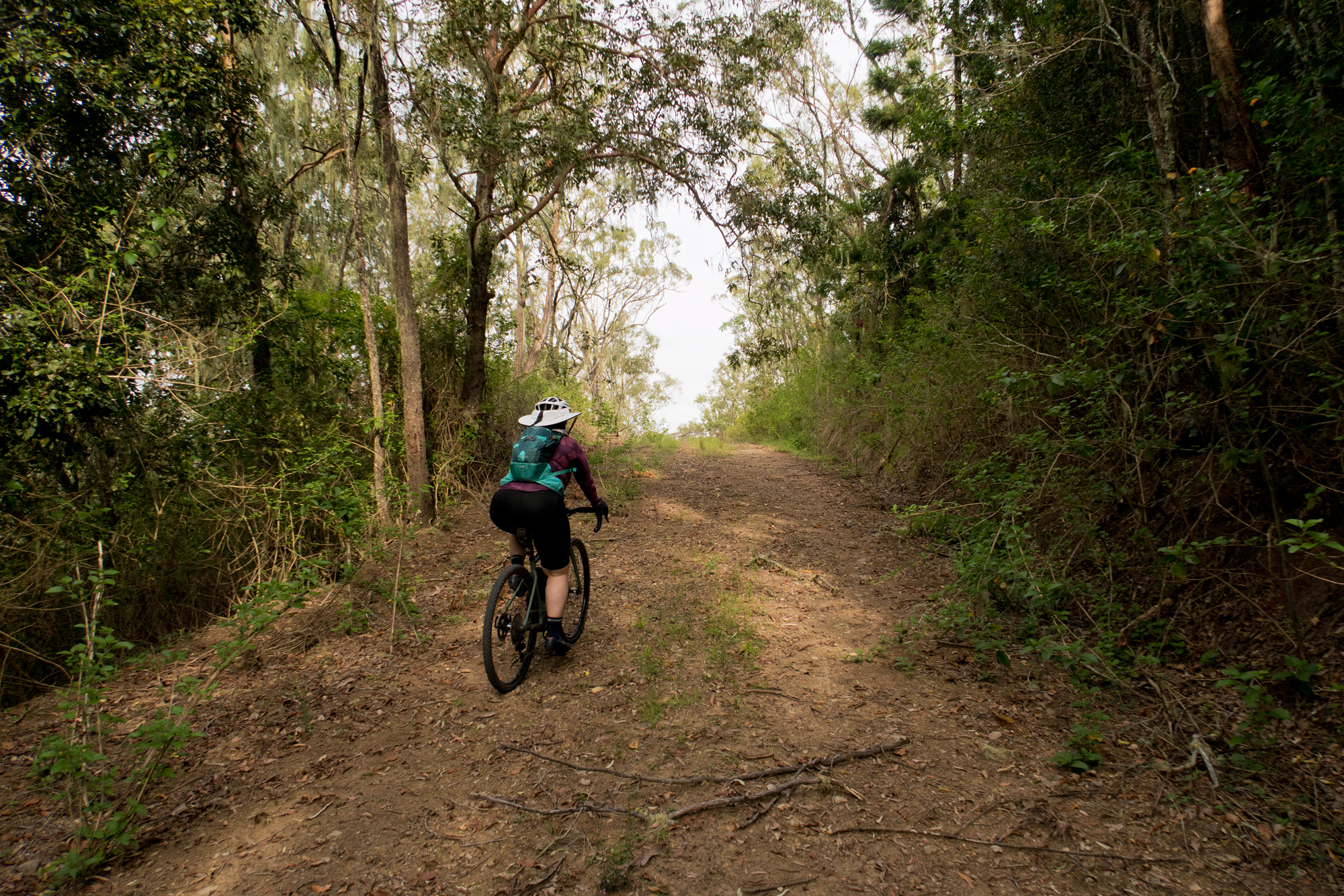
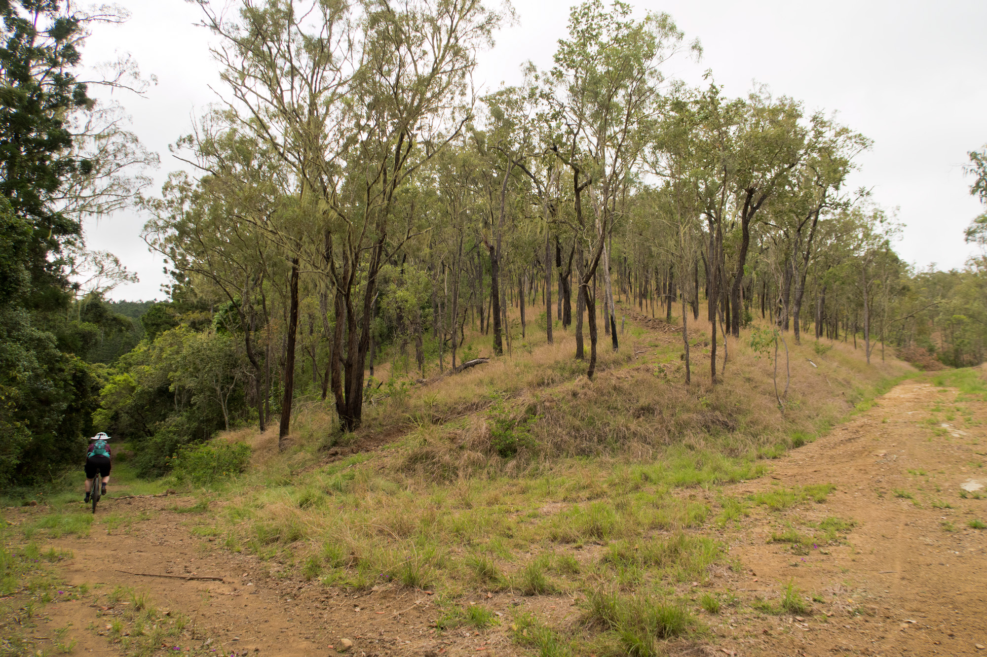
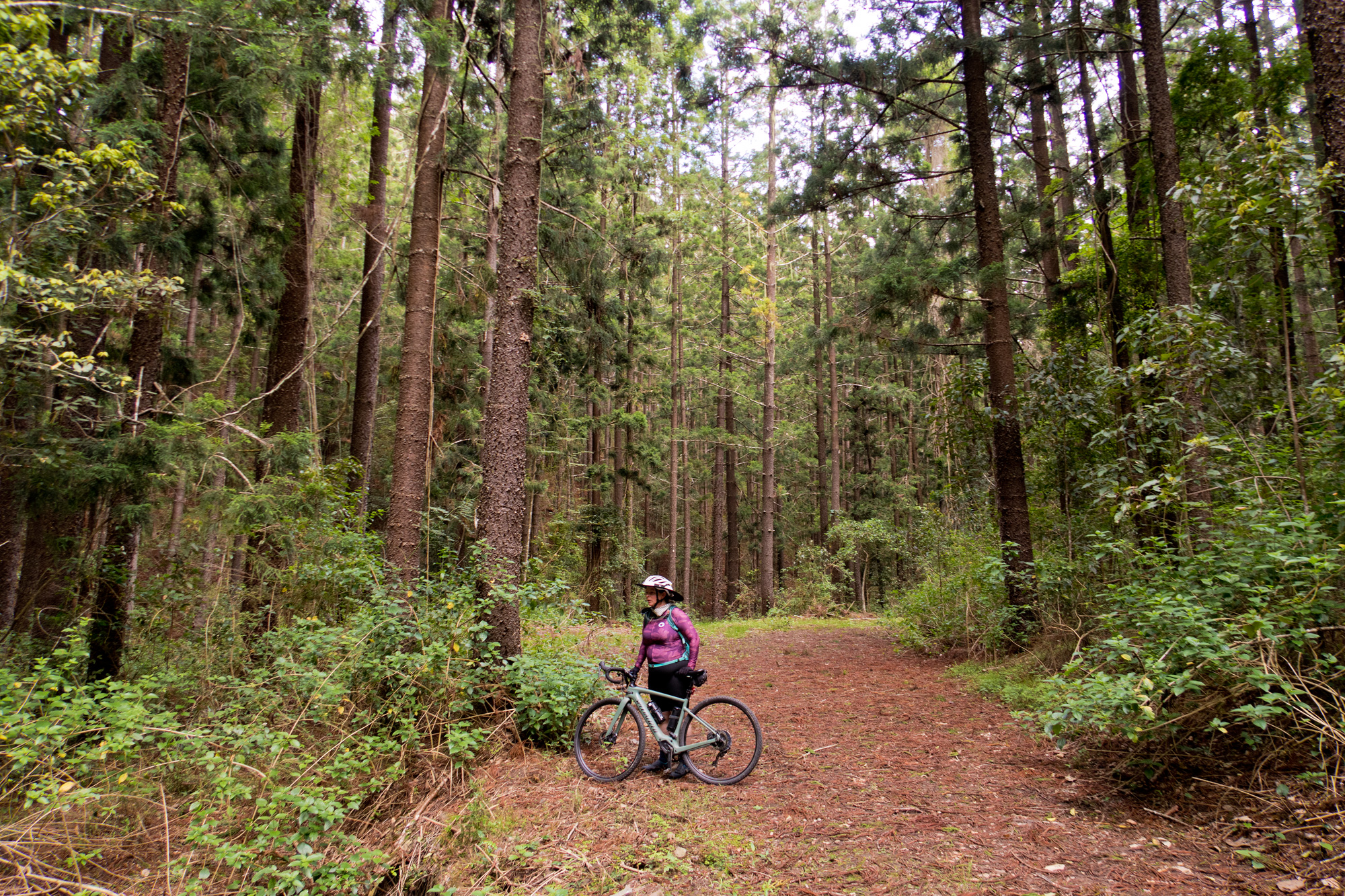
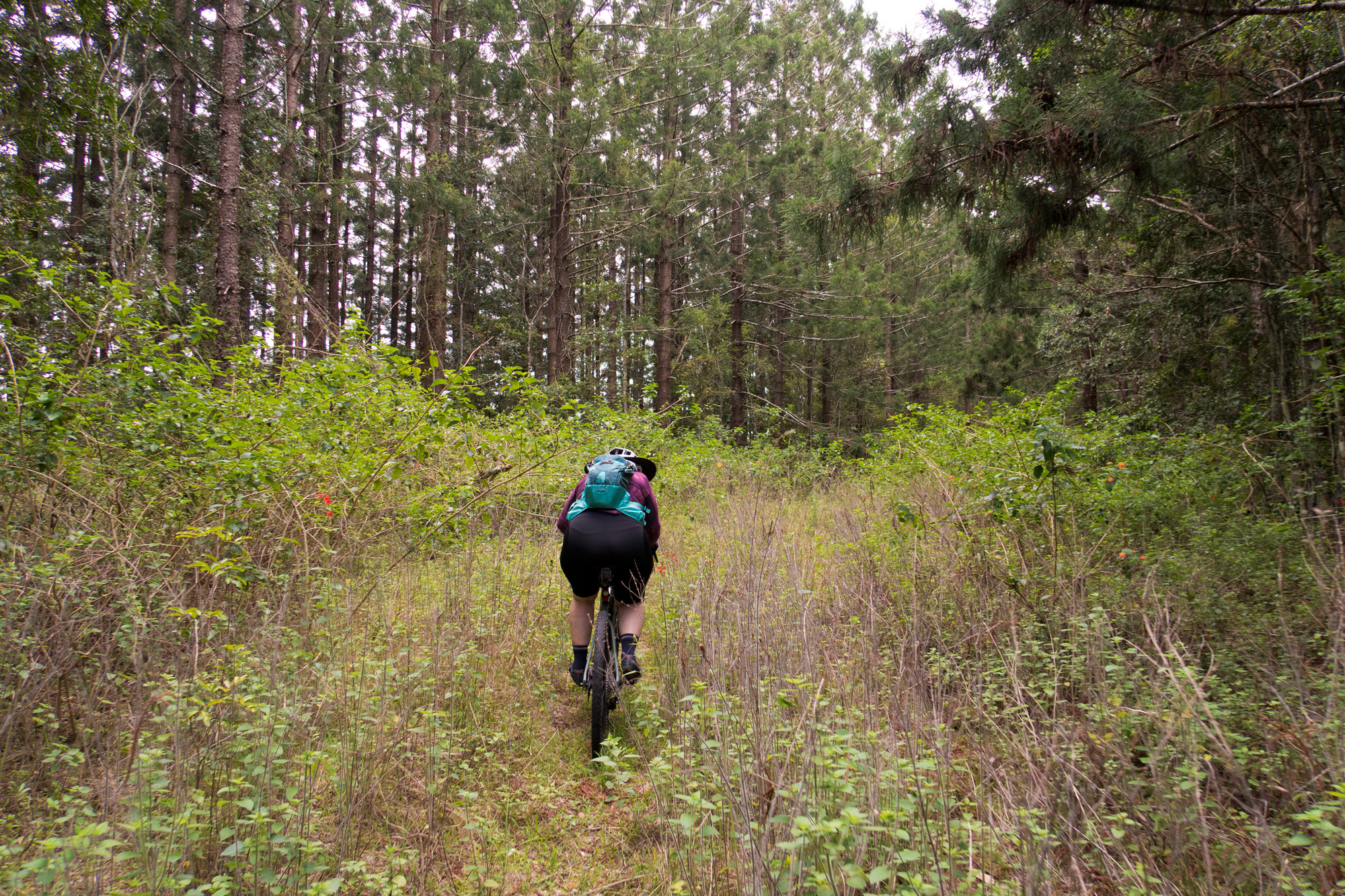
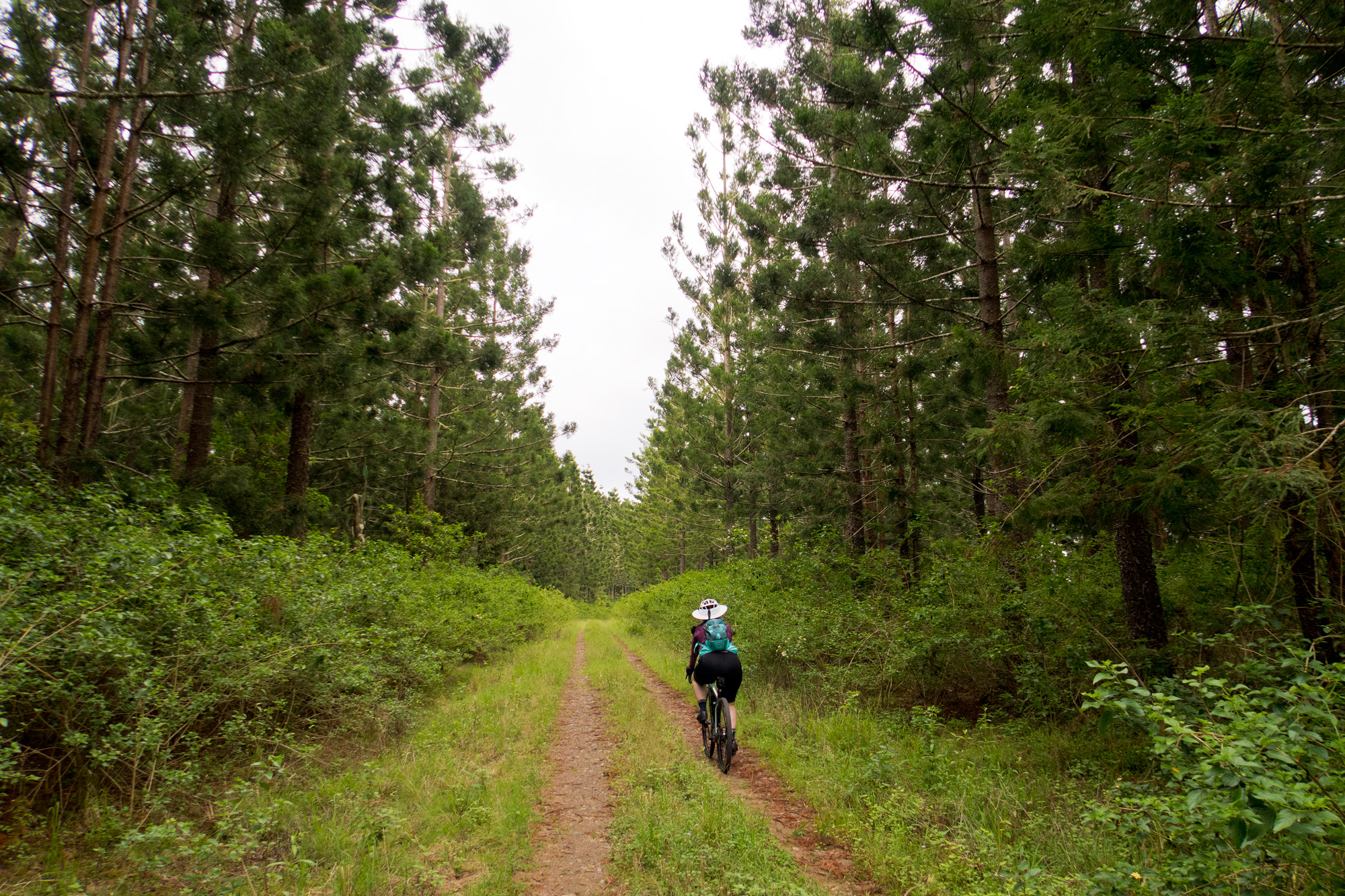
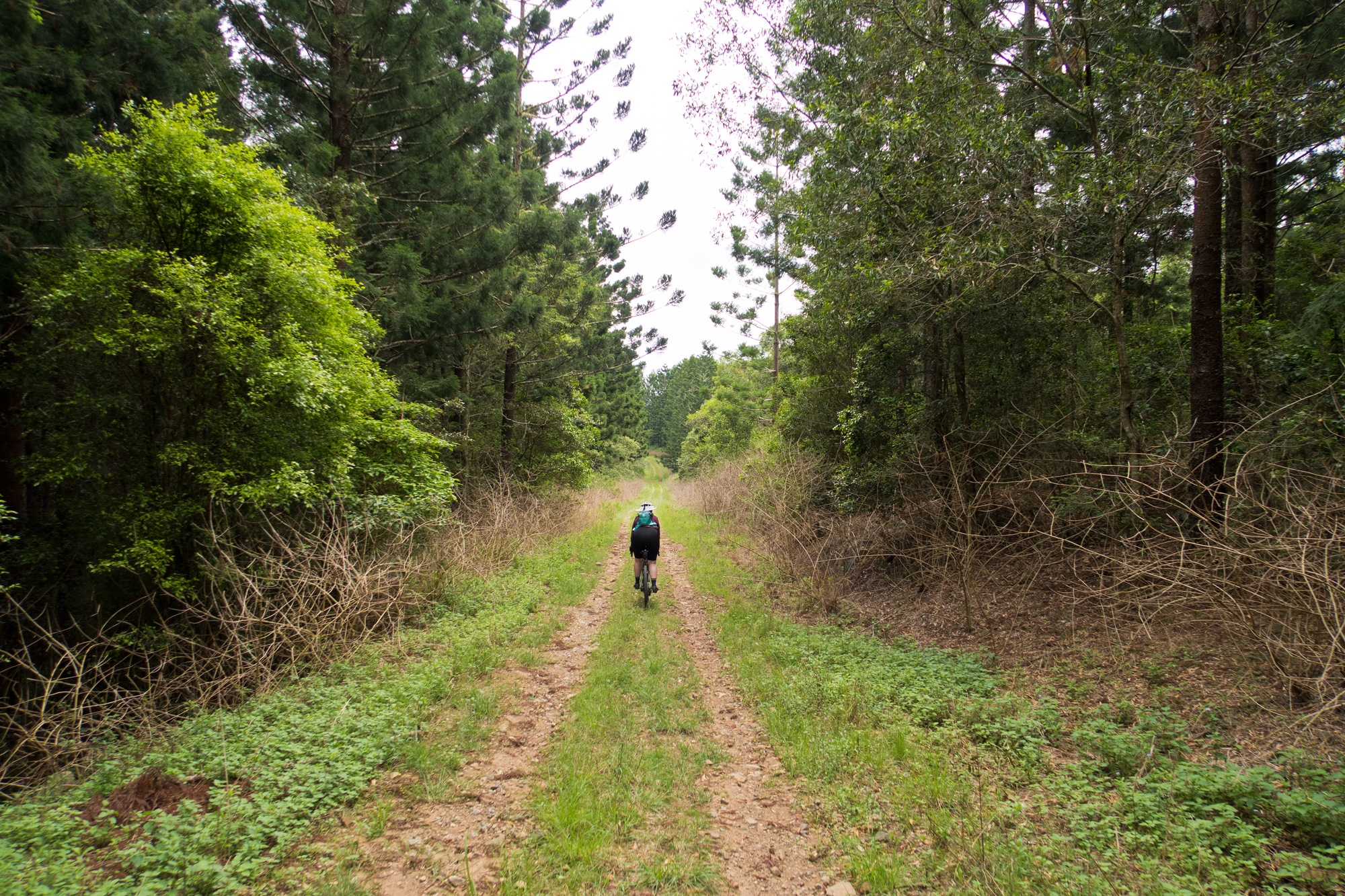
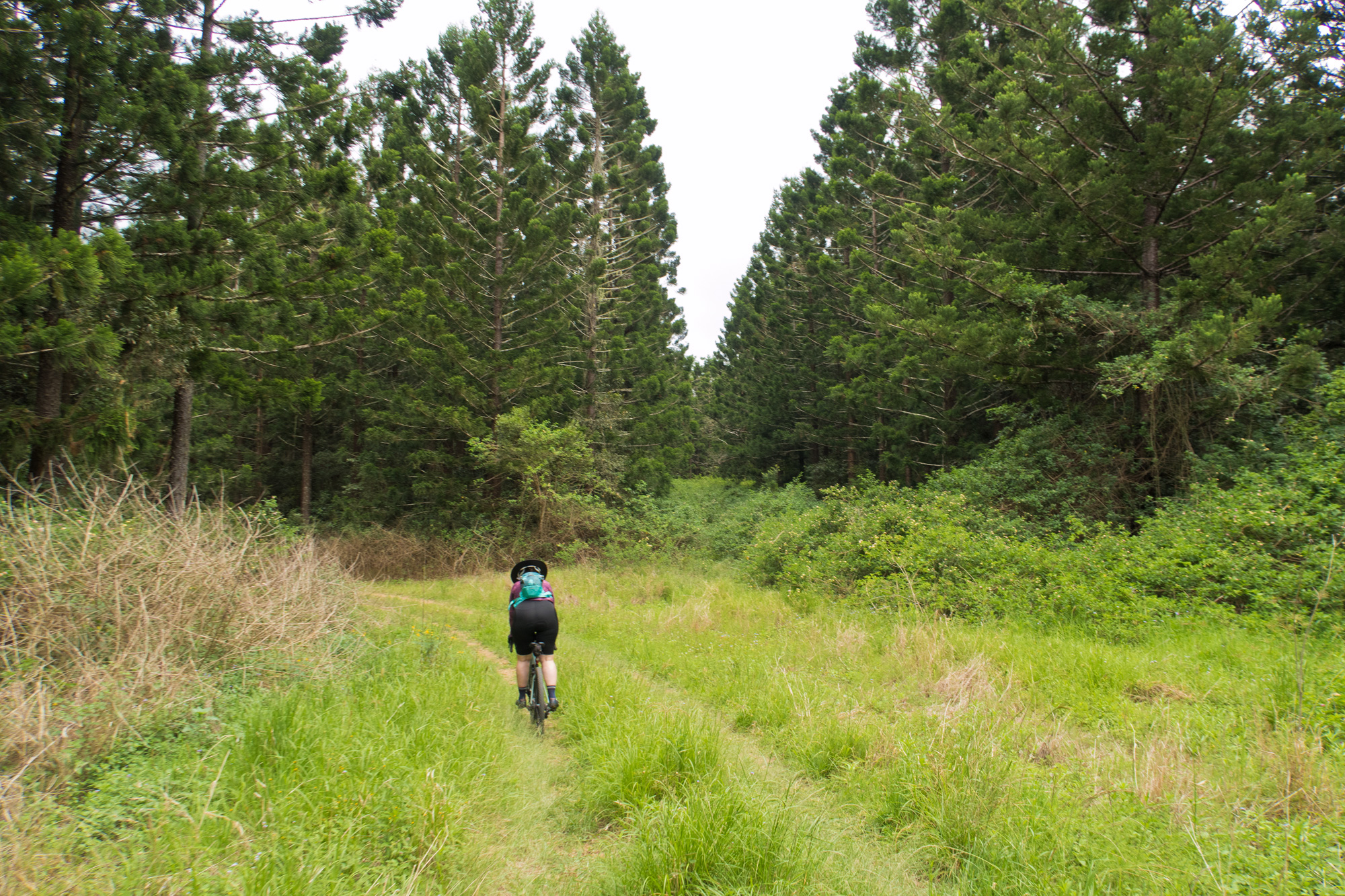
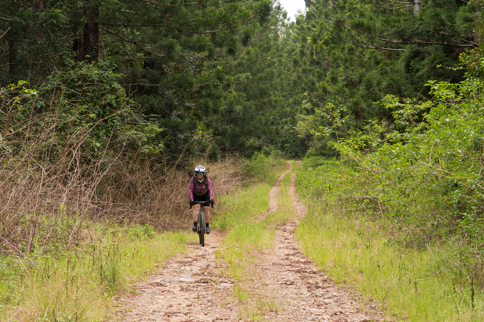
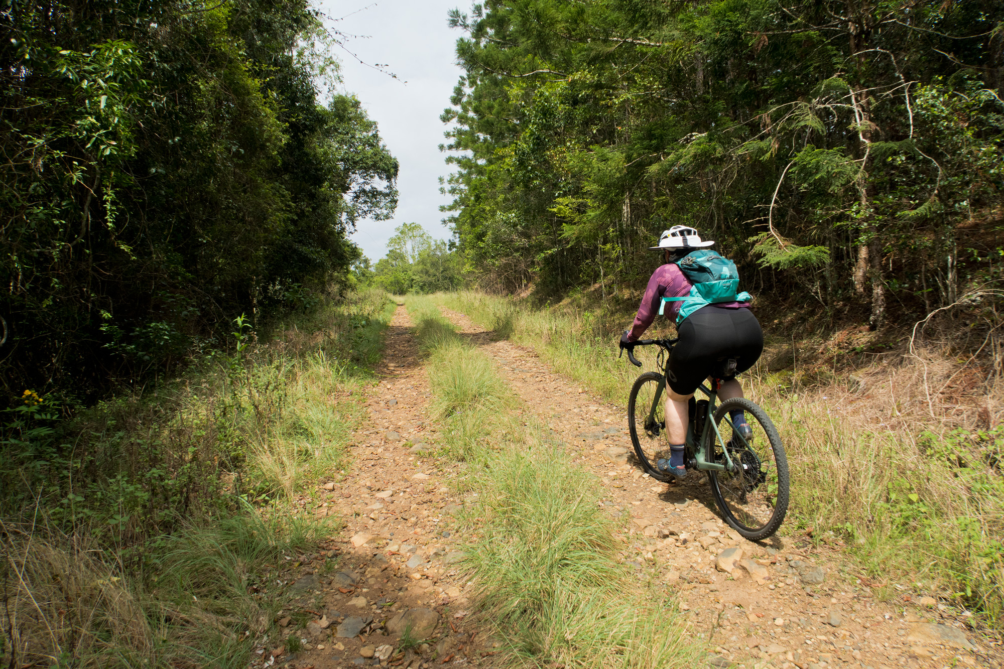
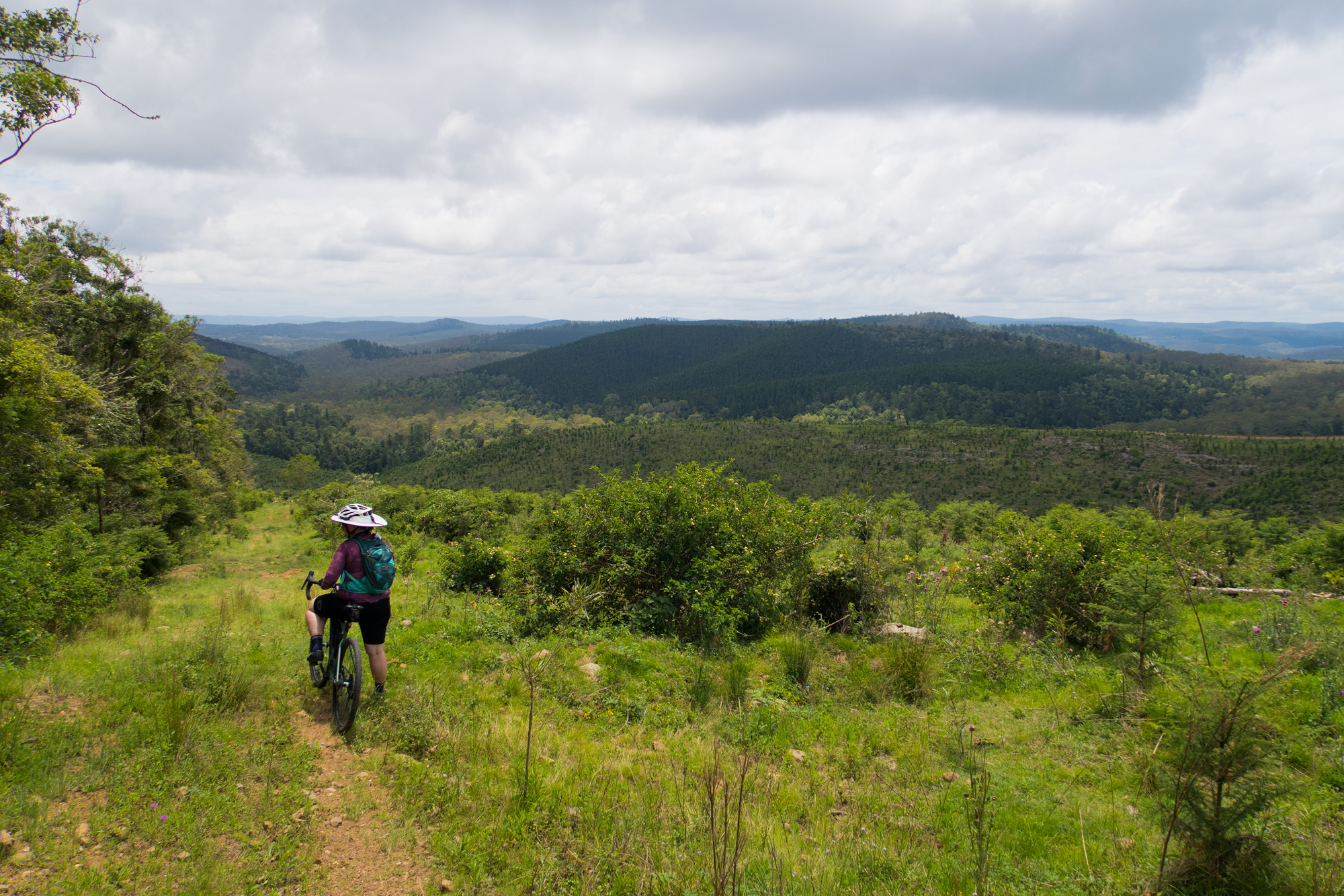
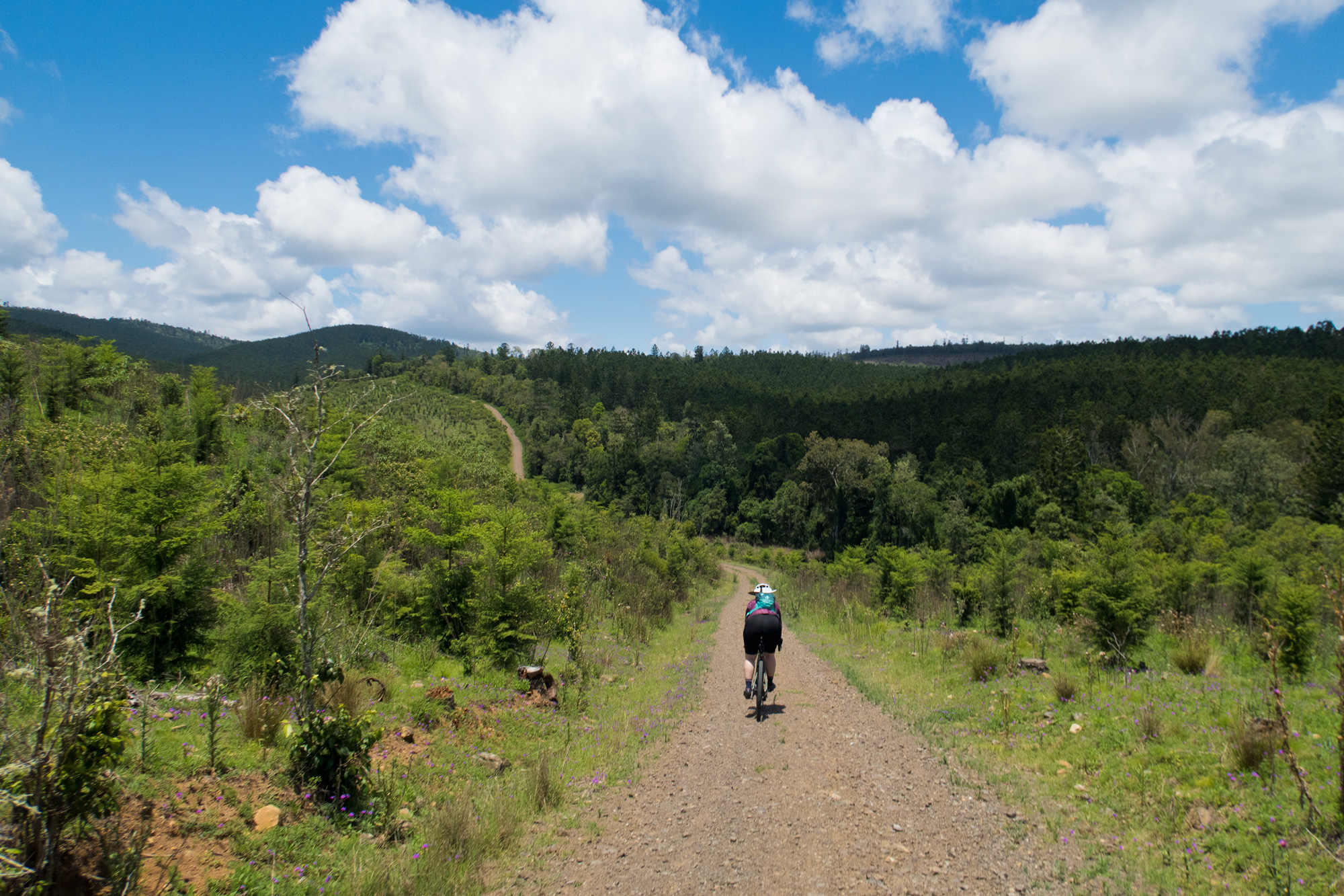
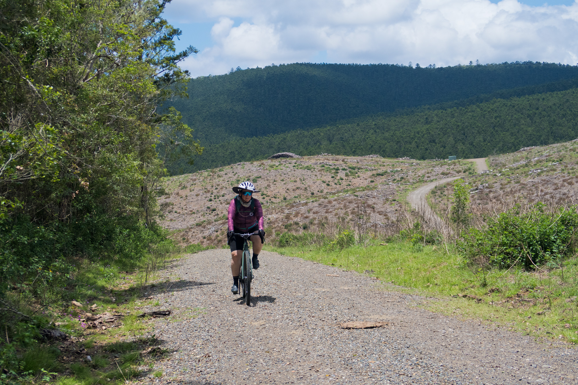
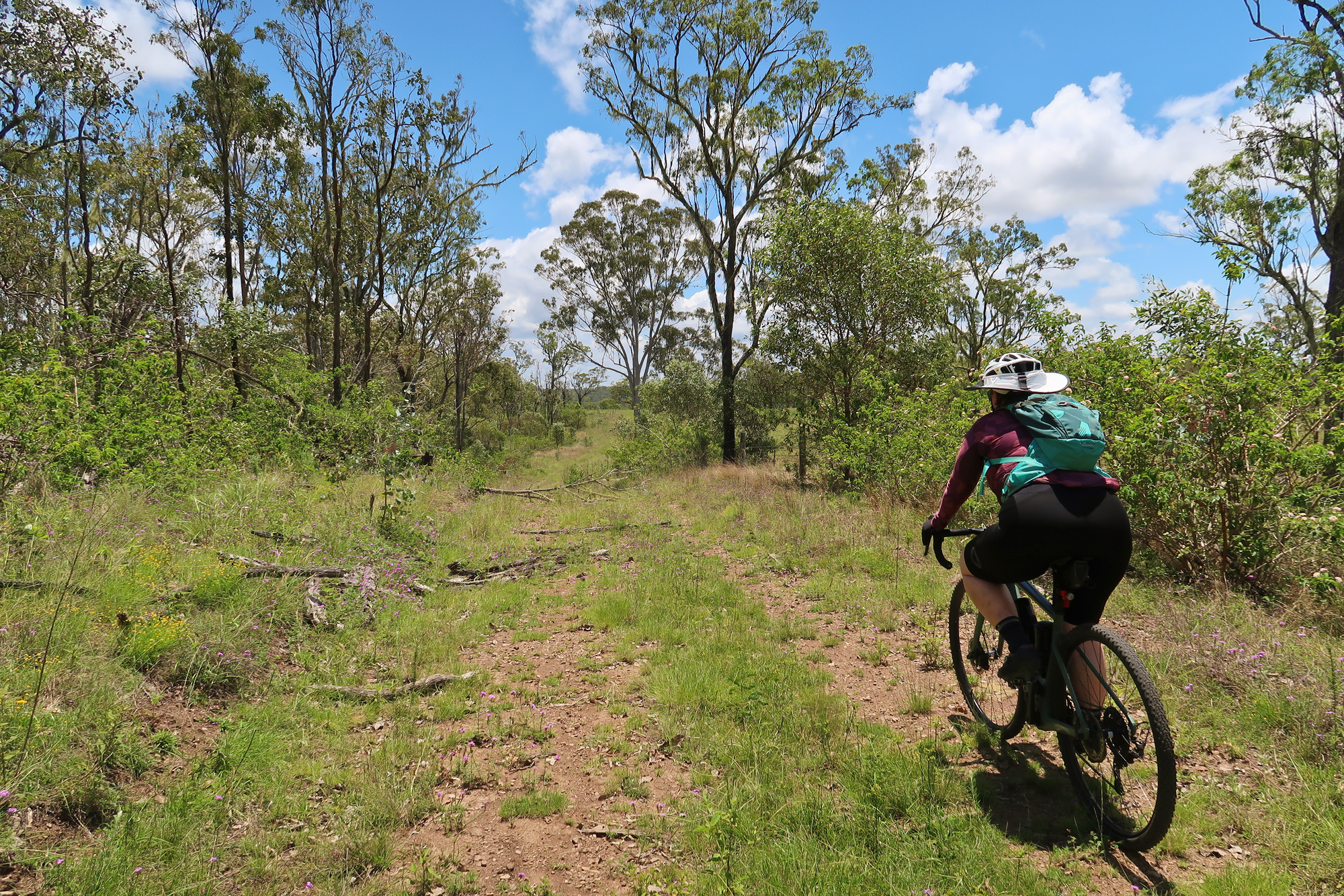
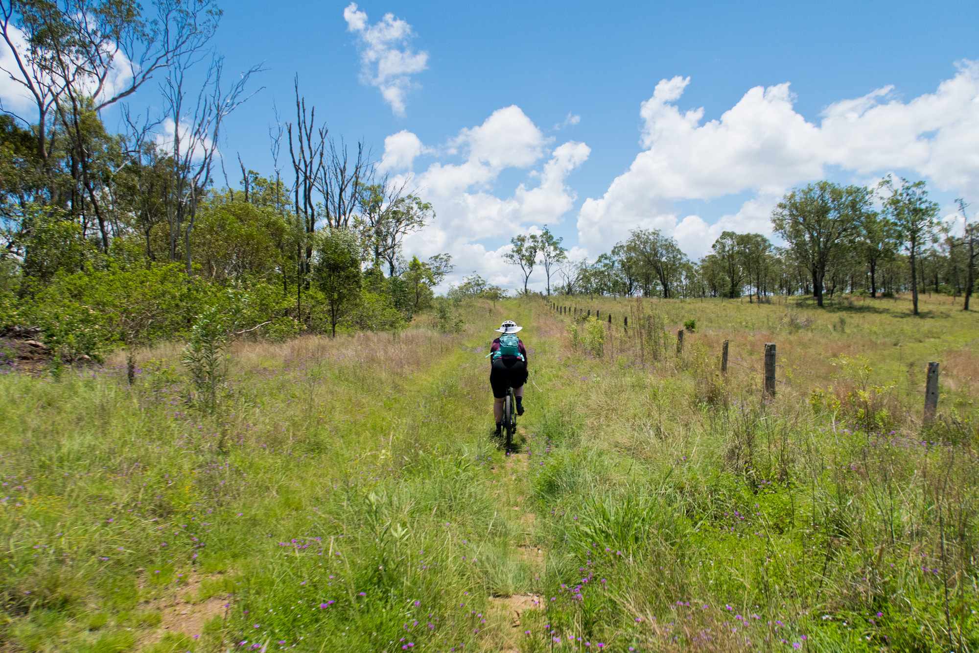
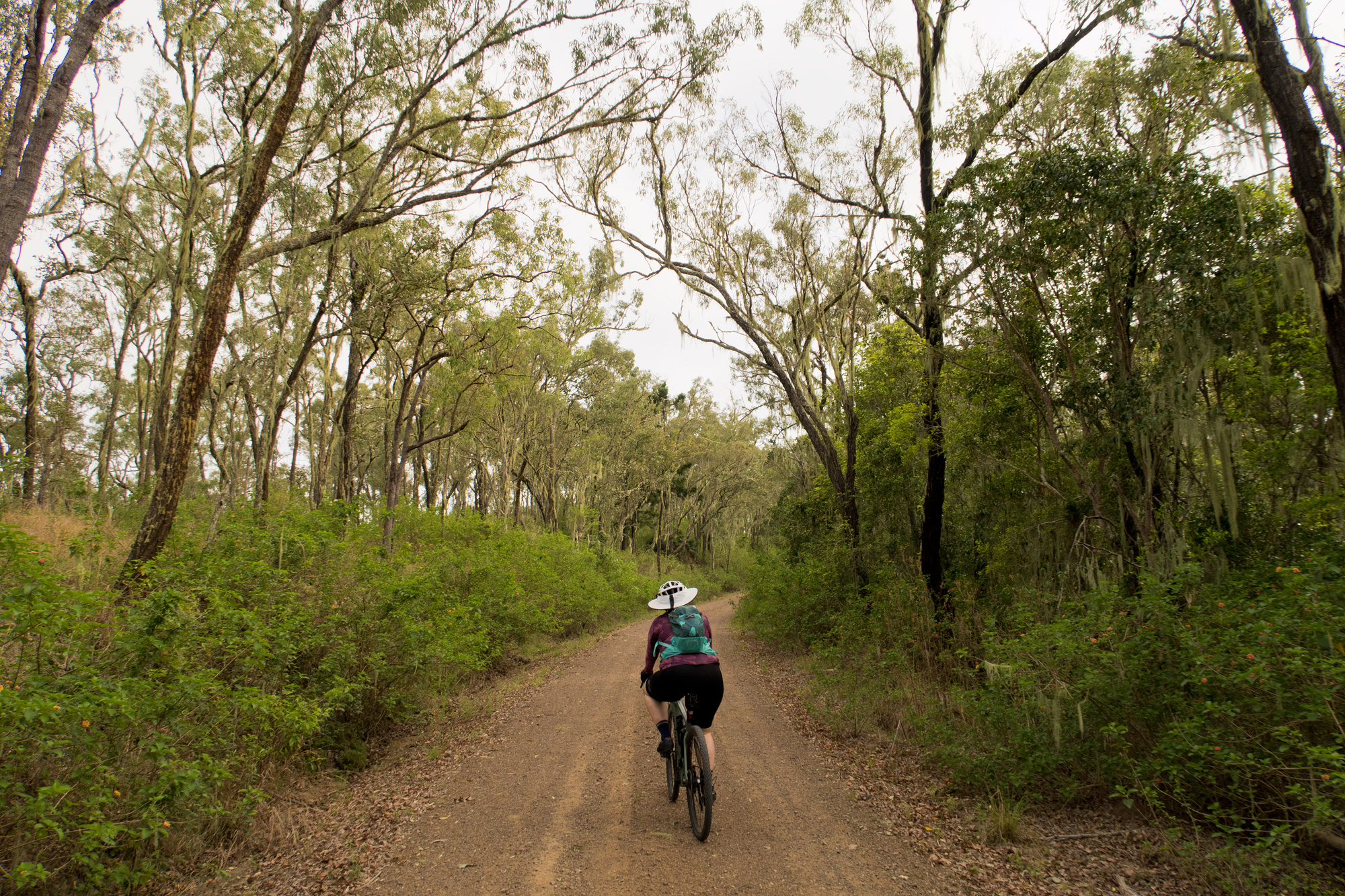 Bronwyn riding along Wombi Creek Road (Western Eastern Branch Link).
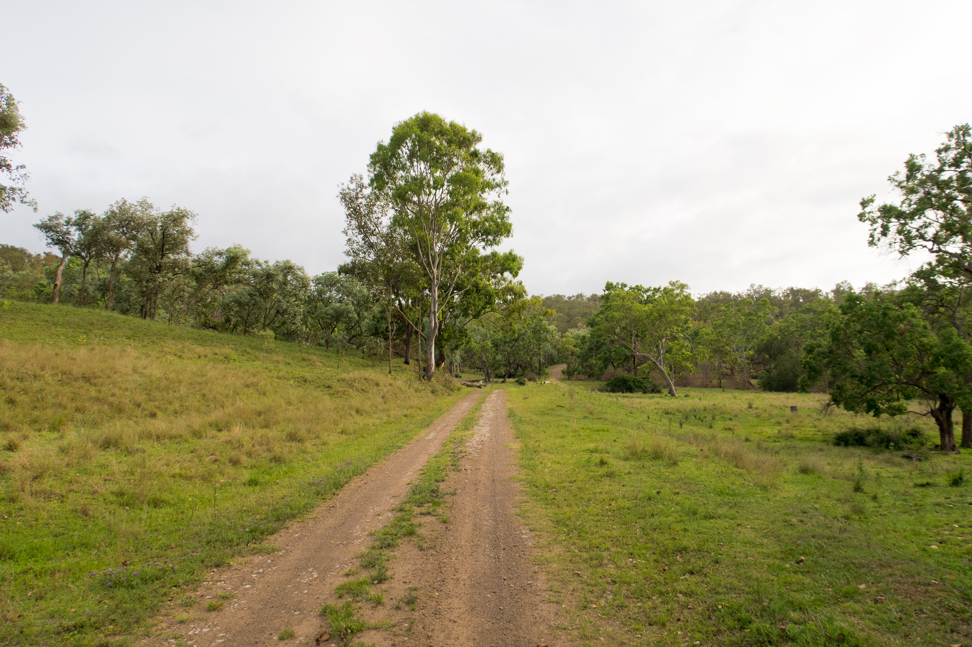
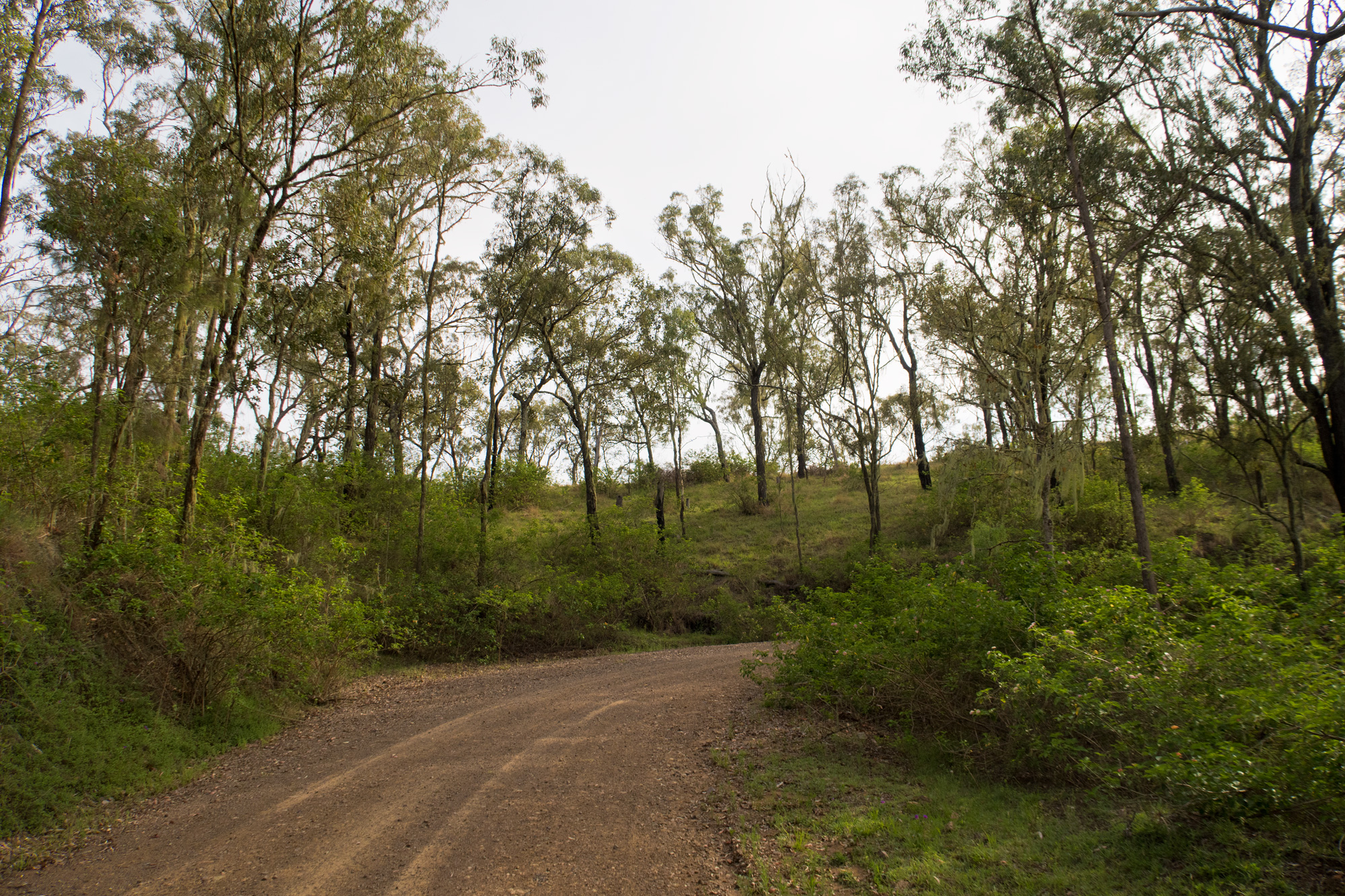
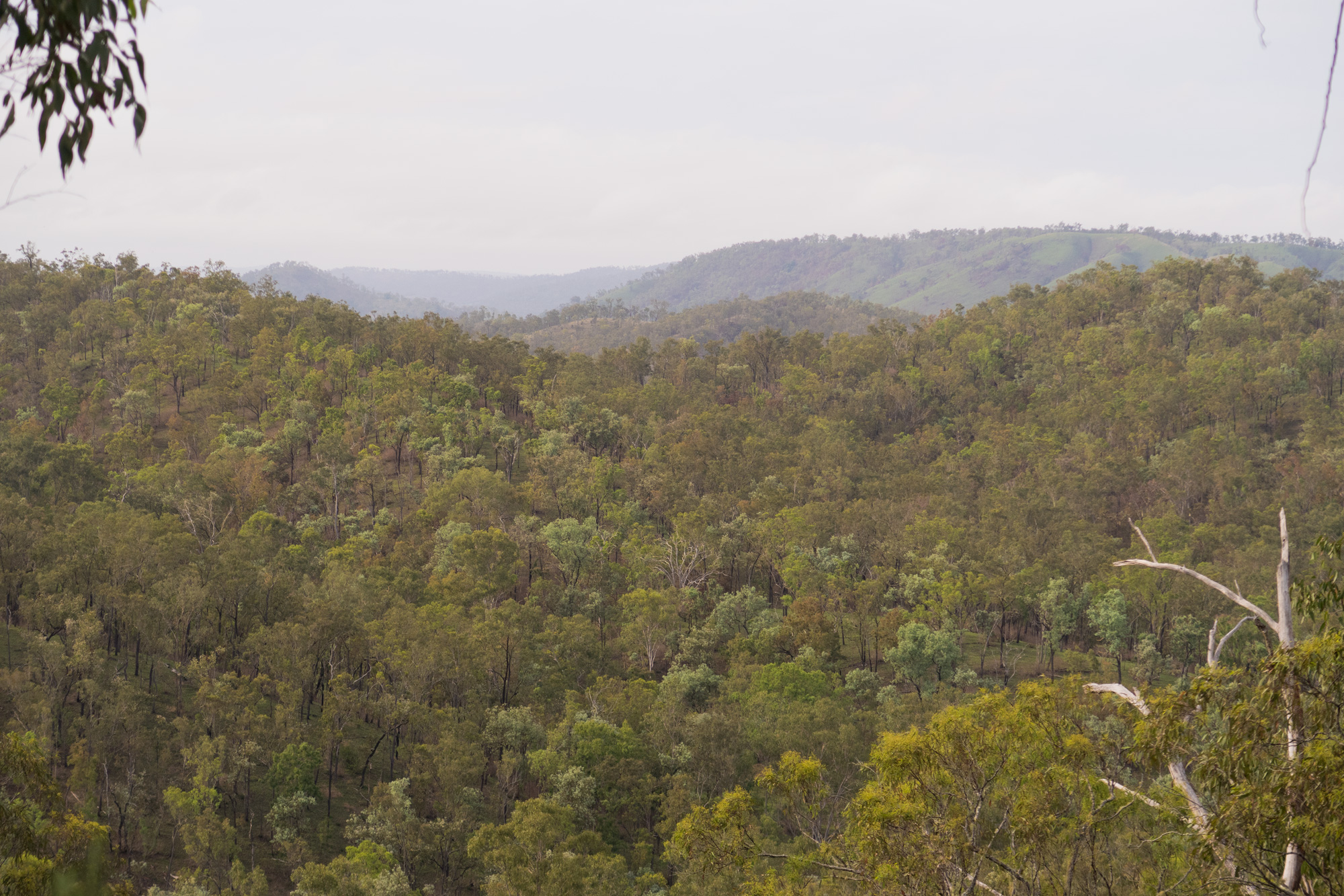
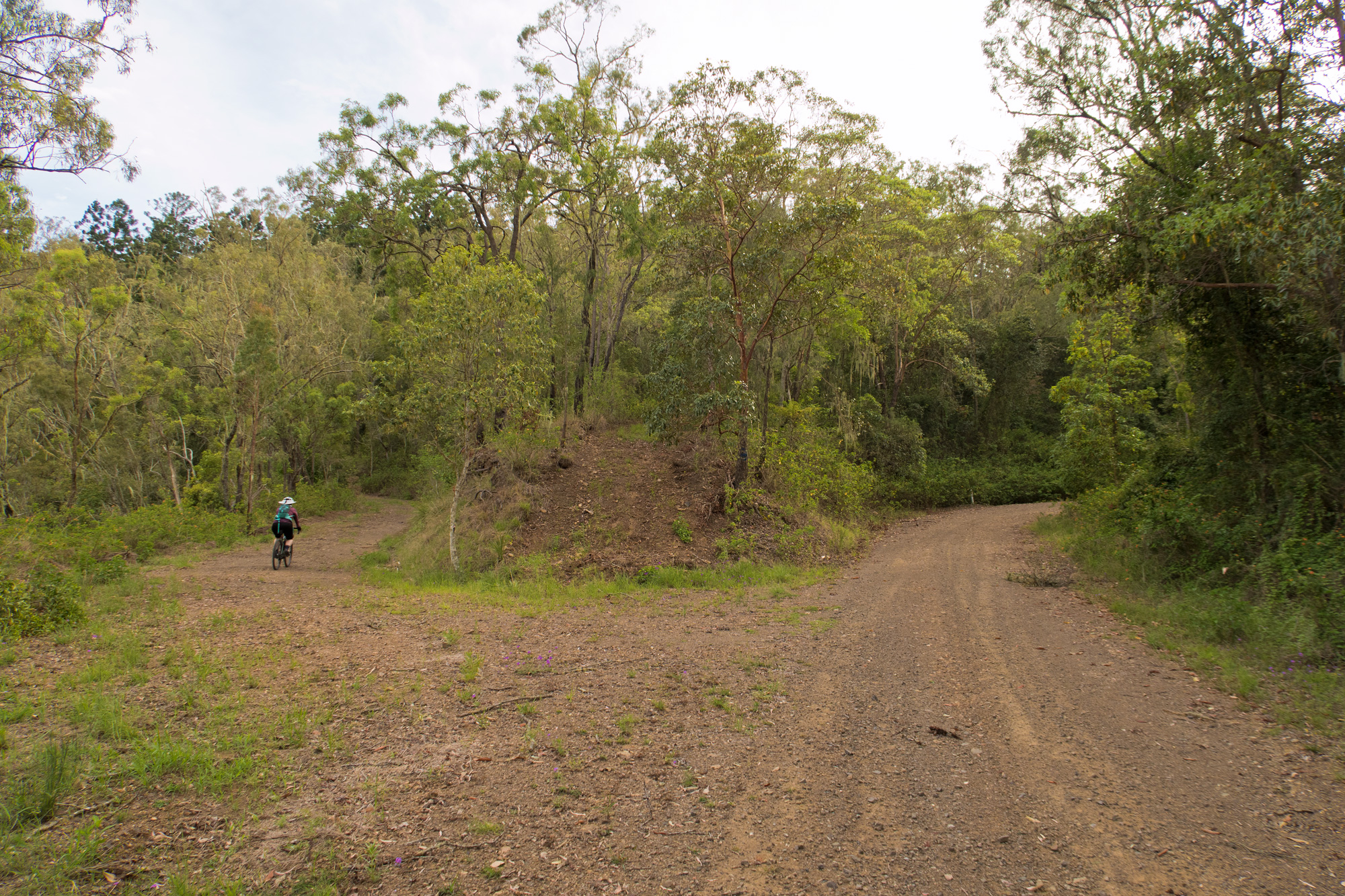
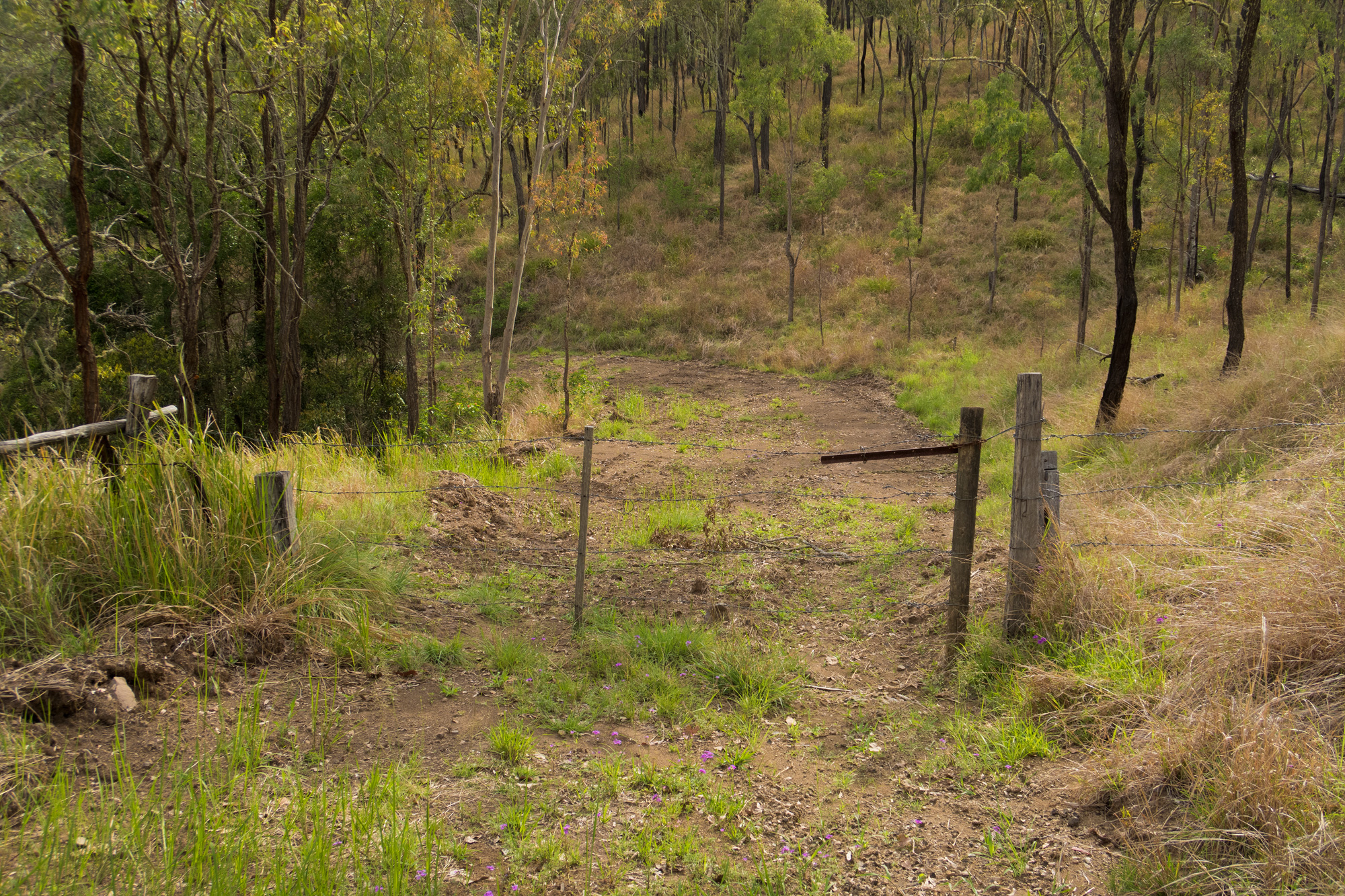
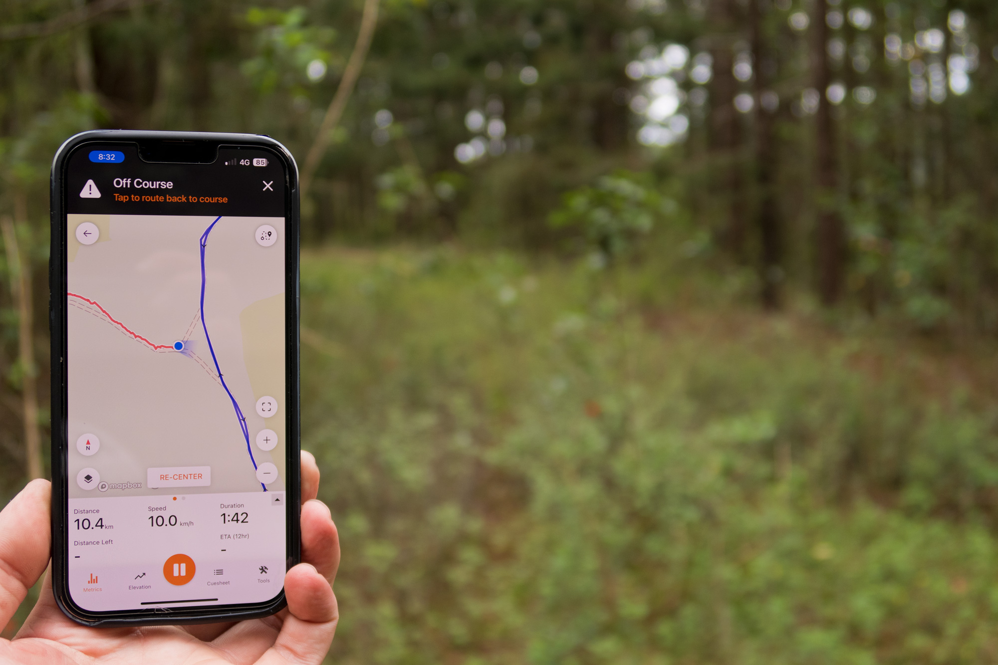
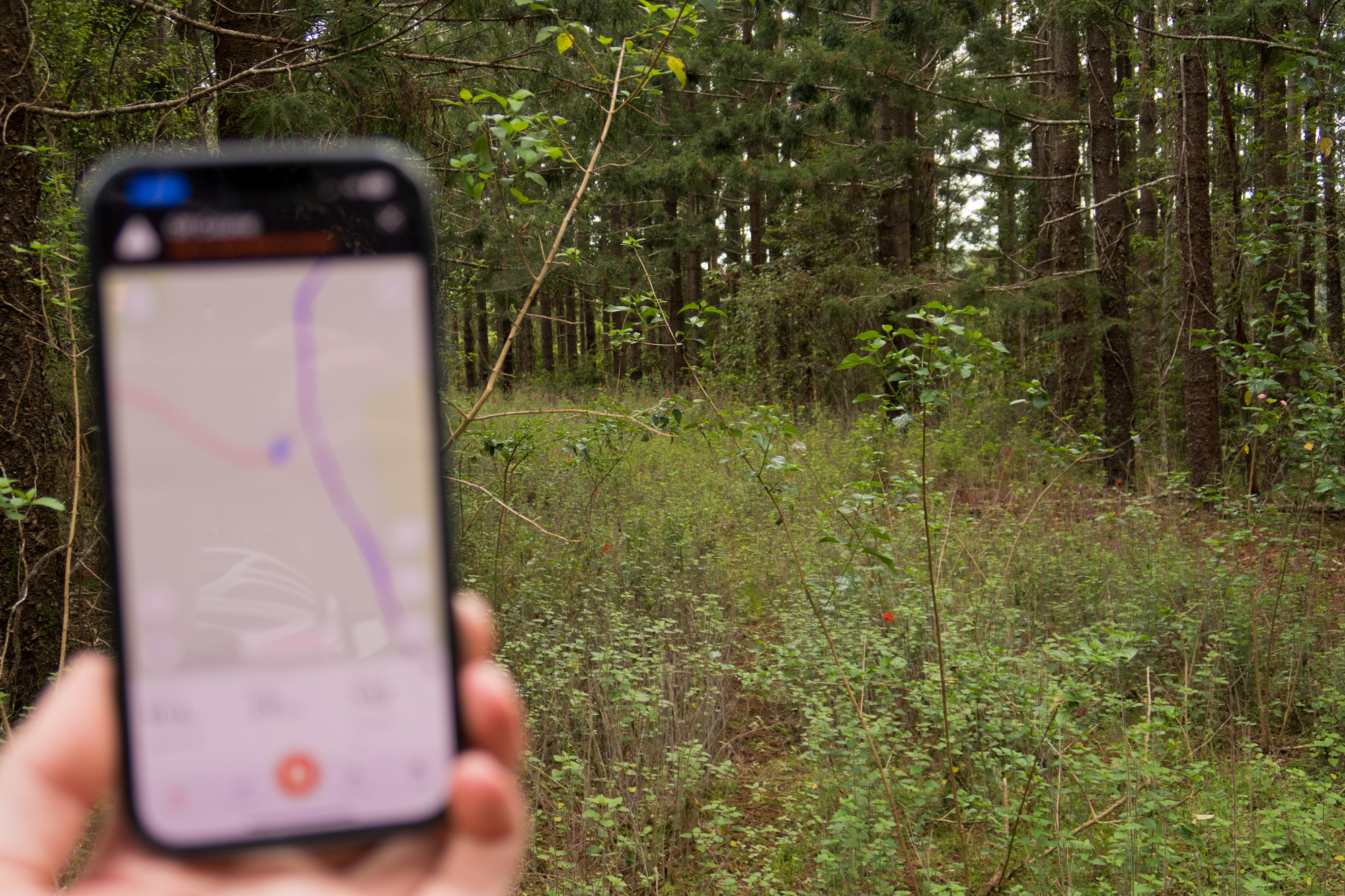
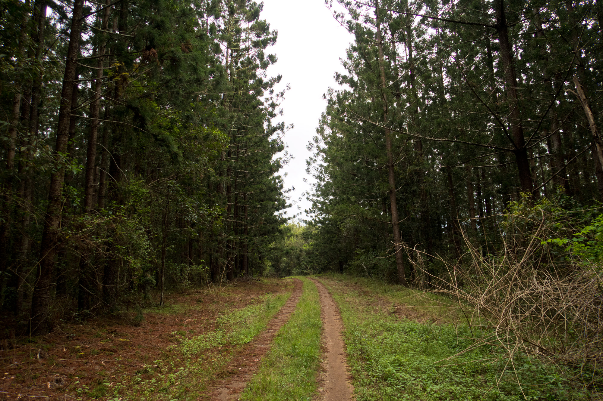
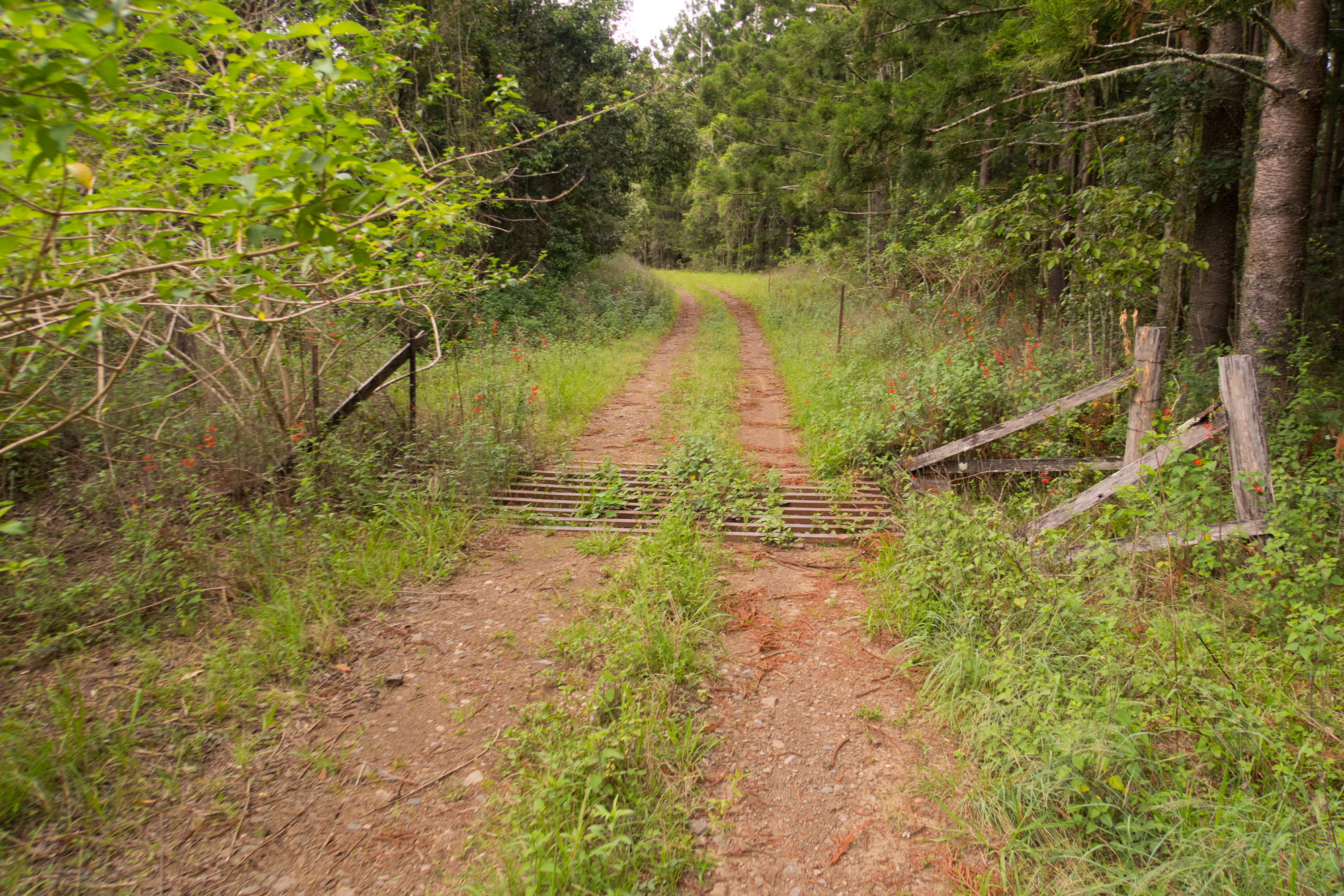
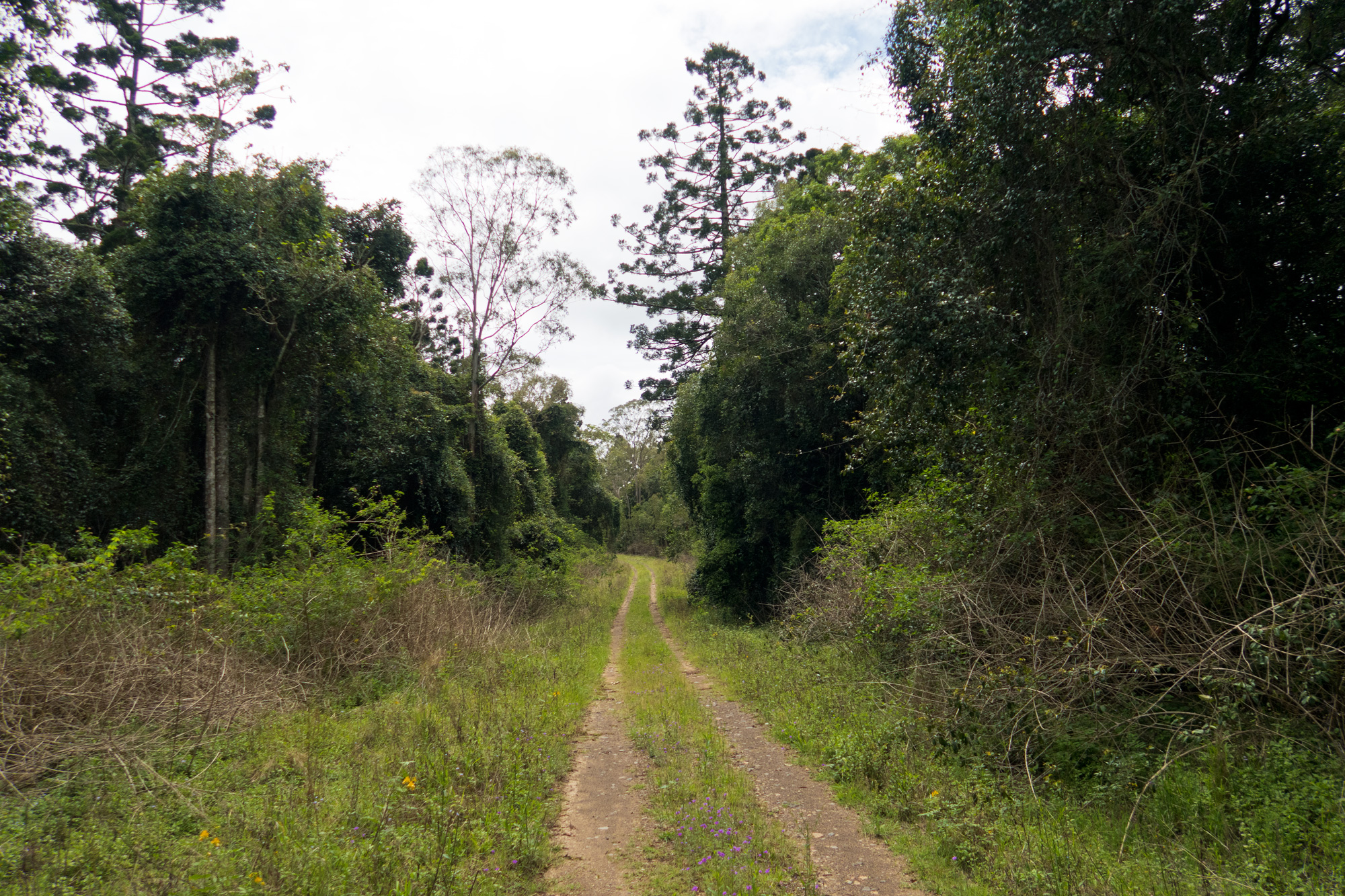
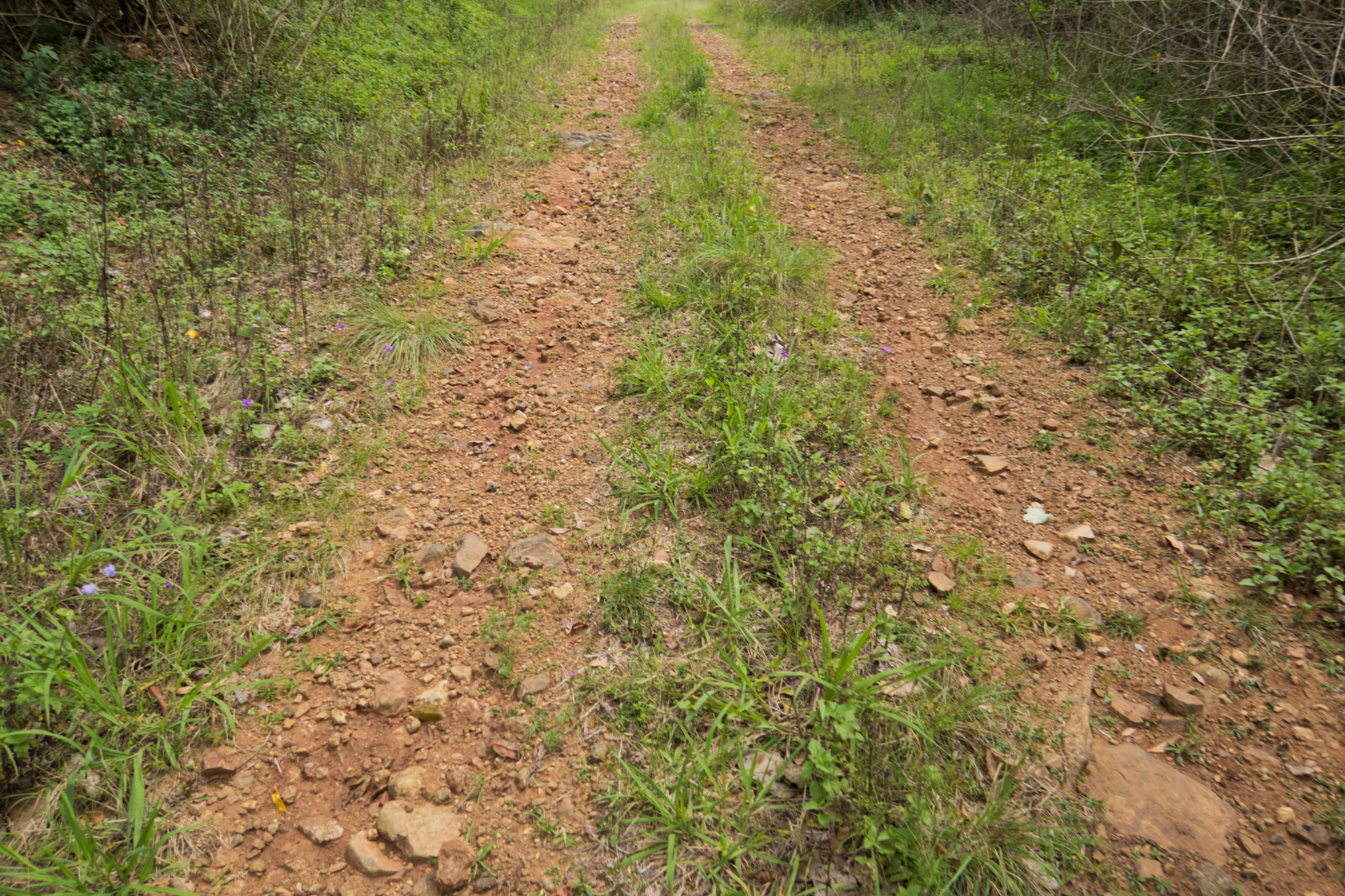
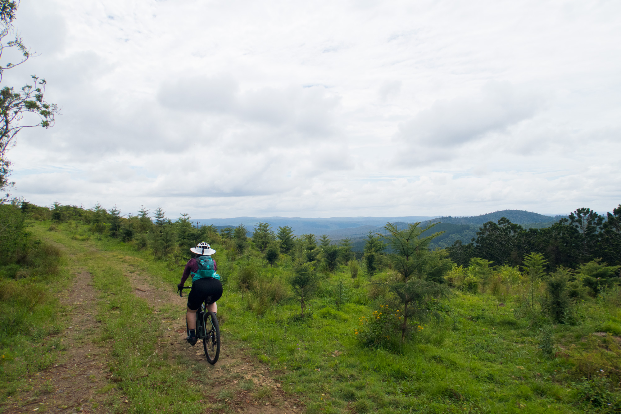
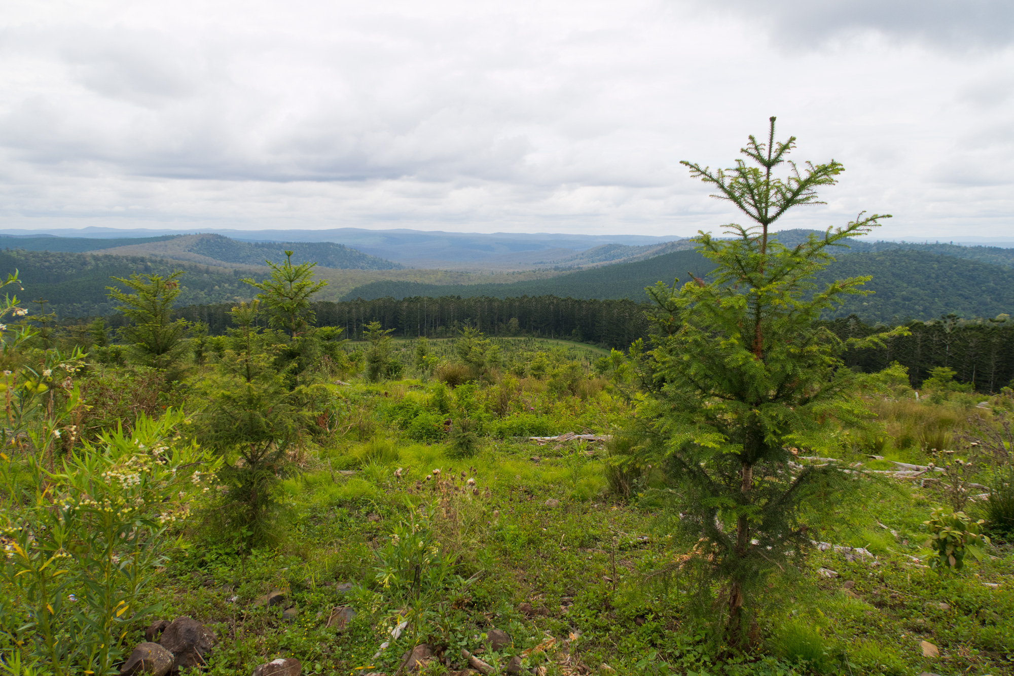
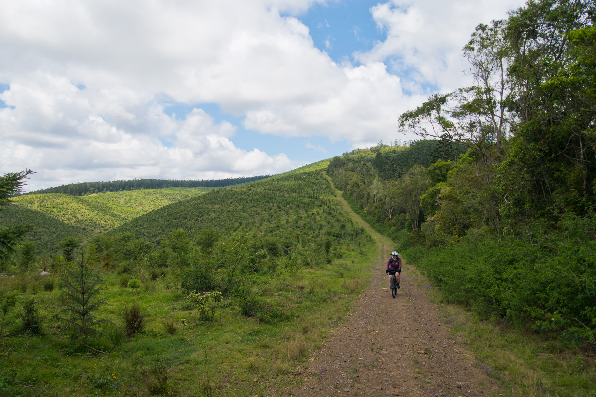
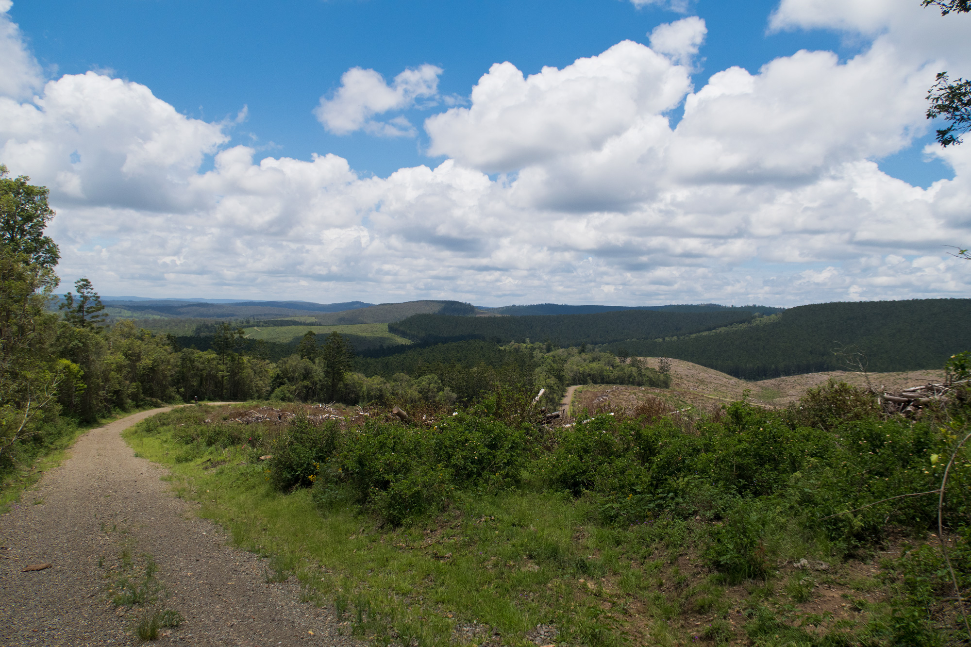
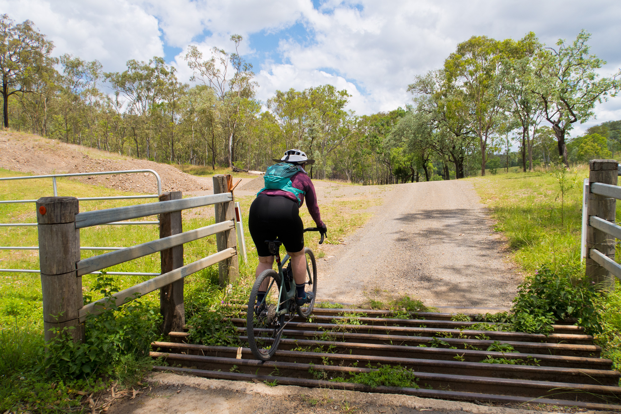
Our original plan was to continue to the right and continue along the Wombi Creek Road (Western Eastern Branch Link) before turning north and heading to Elgin Vale but a somewhat recently regraded track appeared – more than likely done as a fire access/management trail. A quick check on the map and it would eventually link back up with the route north. So we thought we’d check it out as we could ride on or continue back. There was a little more climbing but along the way there were a few places where you could look across to the Brisbane Range. Eventually at the top there was no flat running but instead it turned straight into a descent on semi soft dirt – defiantly a descent route instead of an ascent route with that surface. About a 1/3 into the descent we came across a barbed wire gate with a lock on it. It’s always interesting coming across the different types of gates and their retention locks when doing some of our adventure rides. But its always a good reminder not to bomb down random forestry descents especially in low light/night as the barded wire fences/gates aren’t the easiest to see.

 The start of the descent.
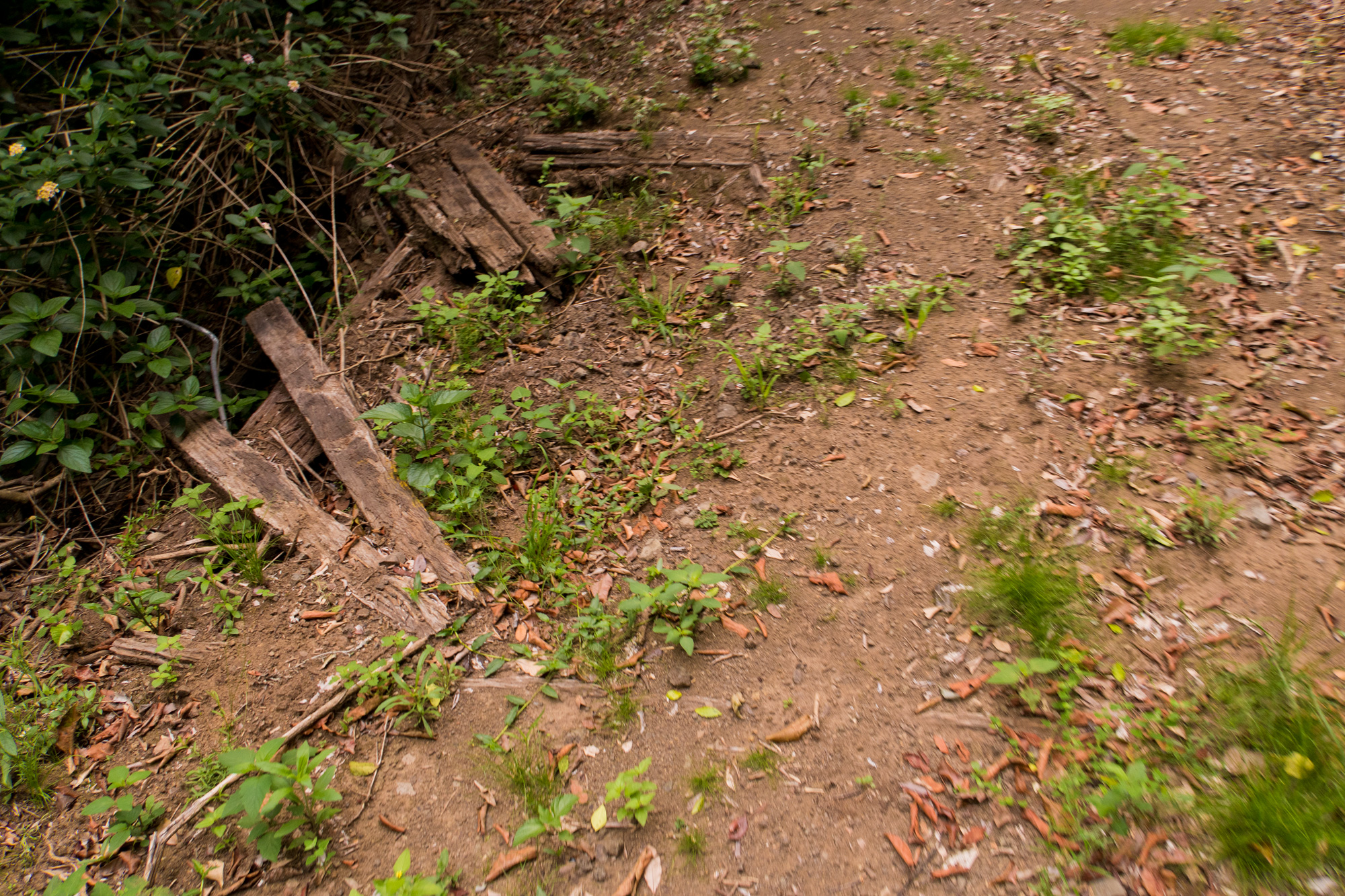
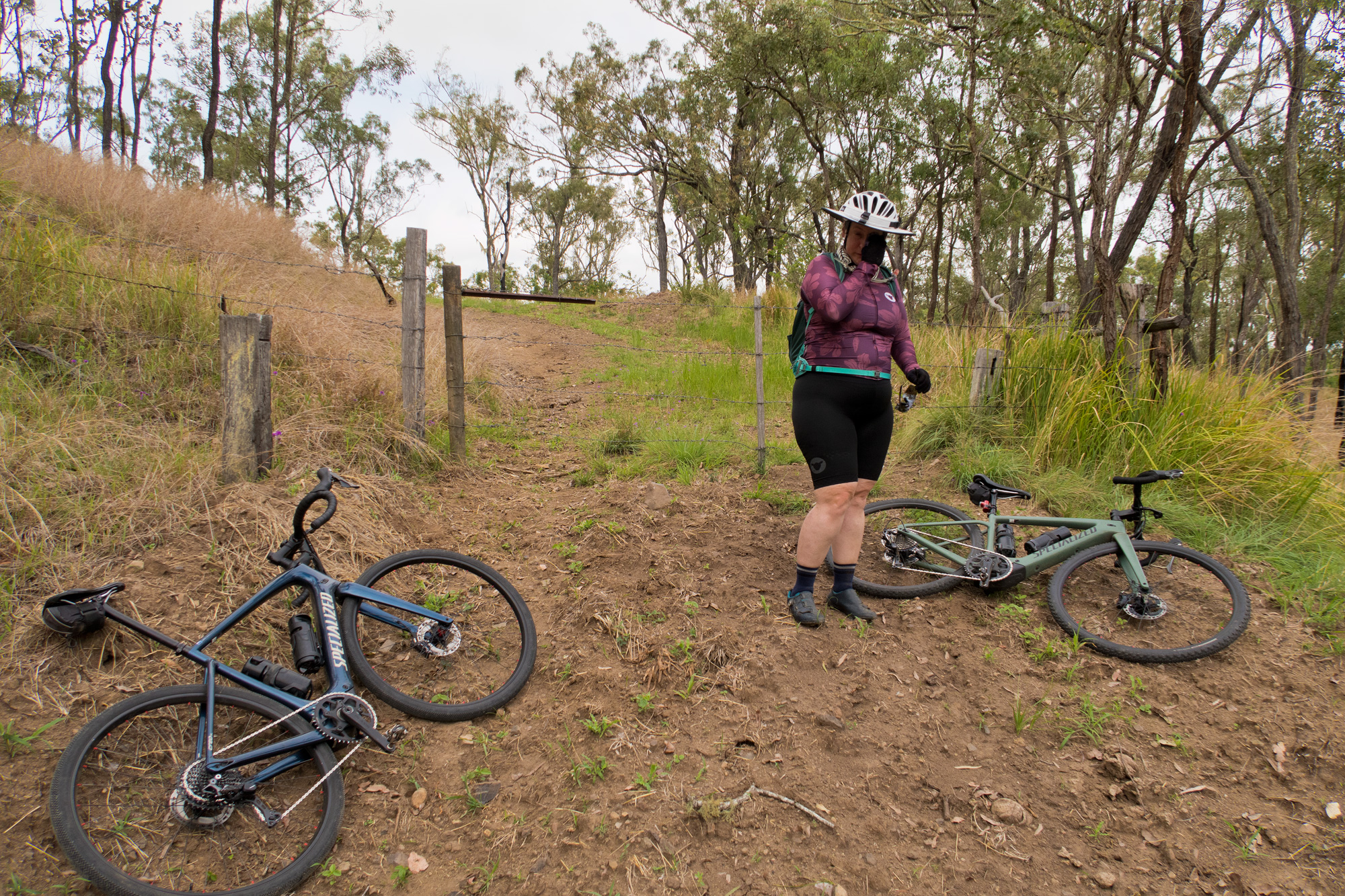 A small break after stopping for the barbed wire fence
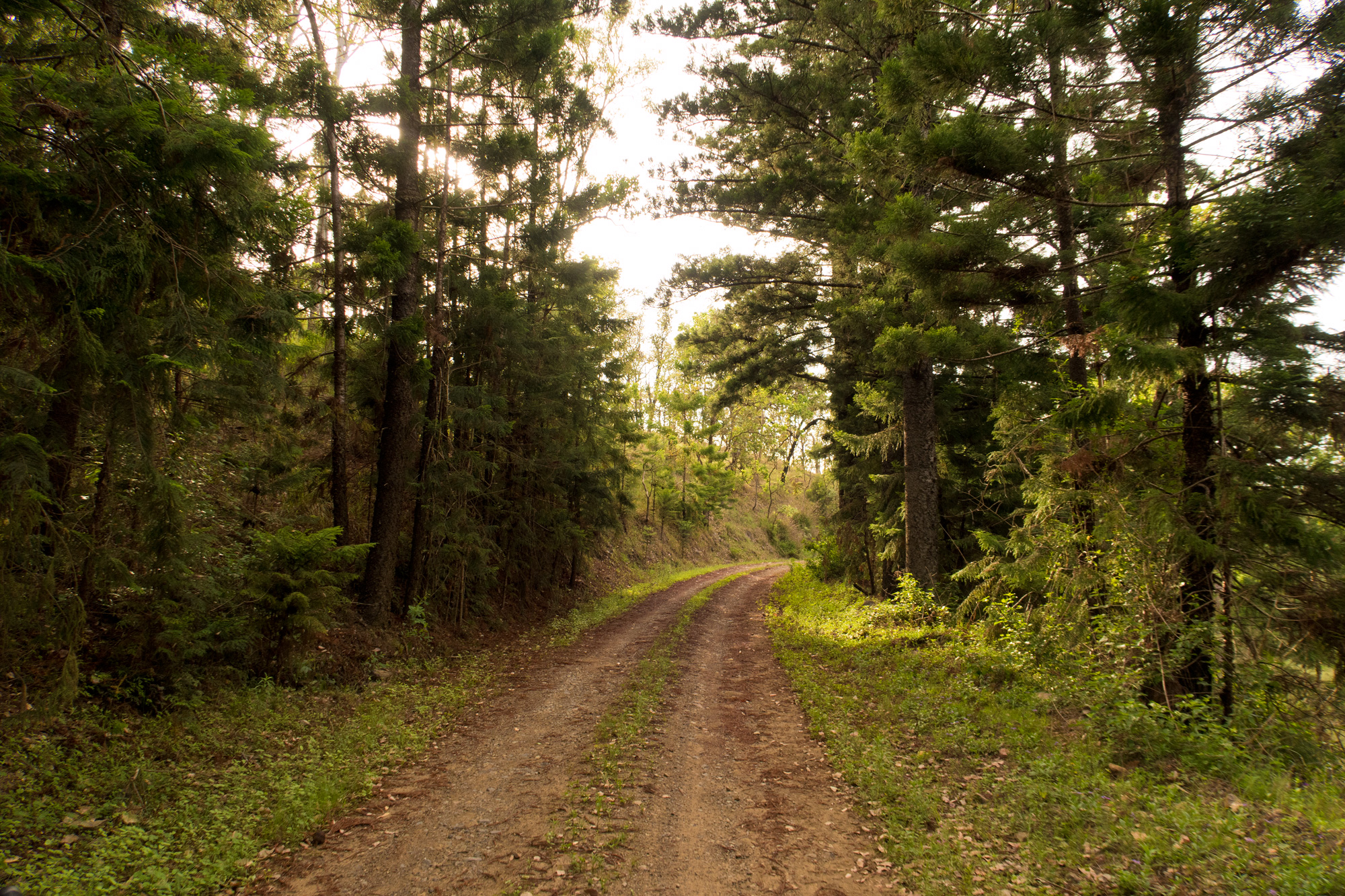
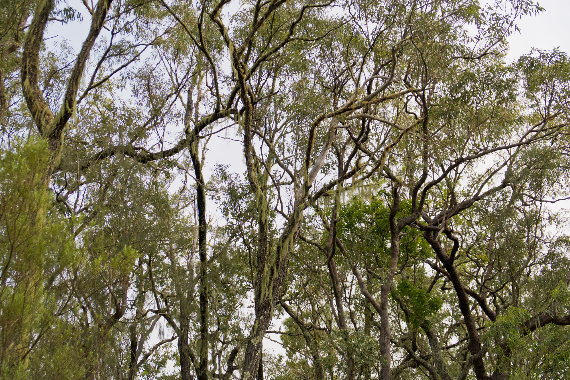
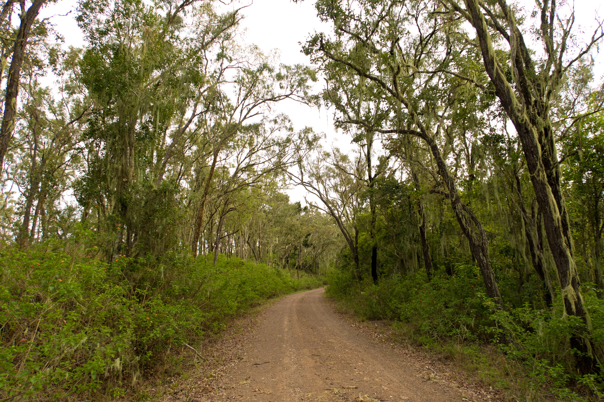
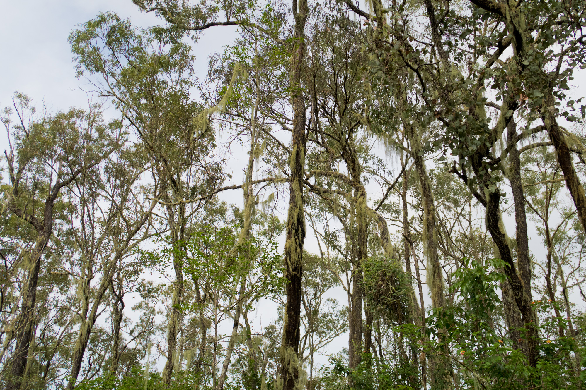
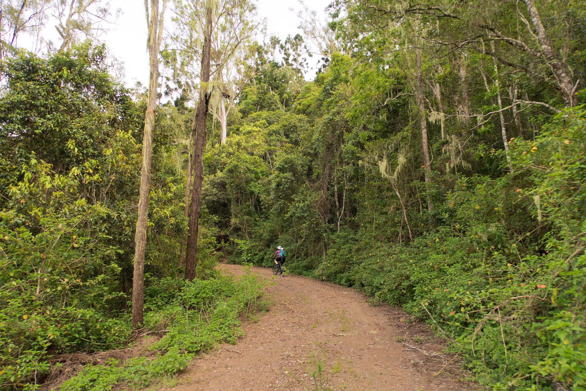
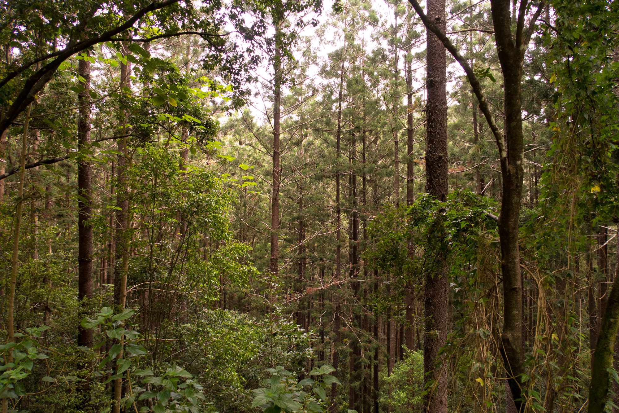
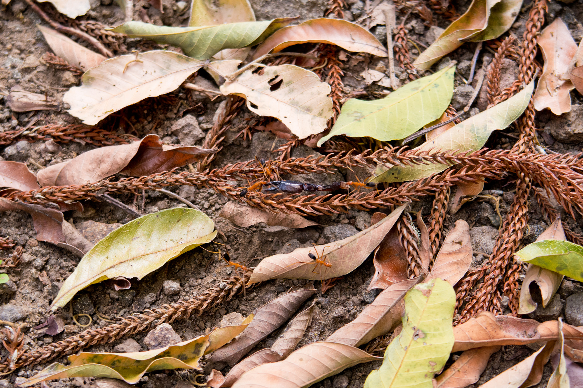
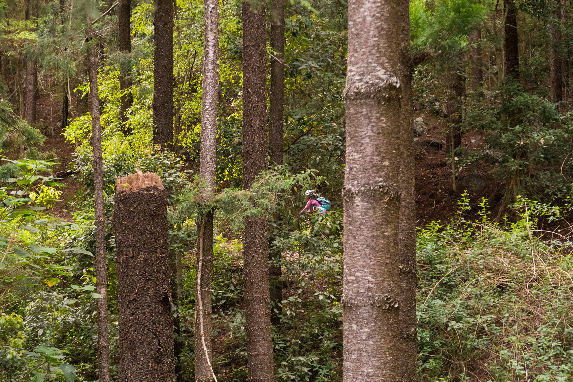
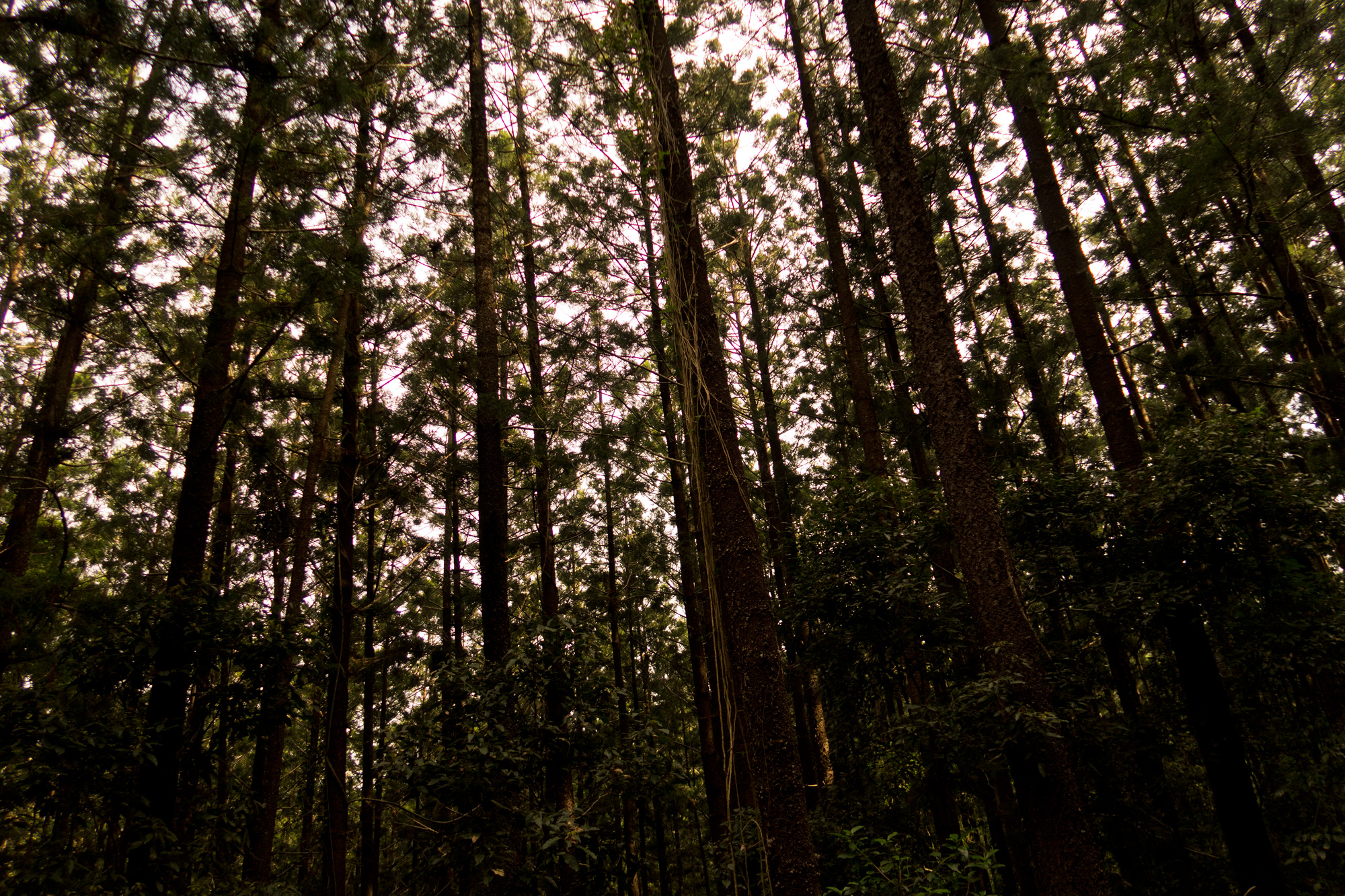
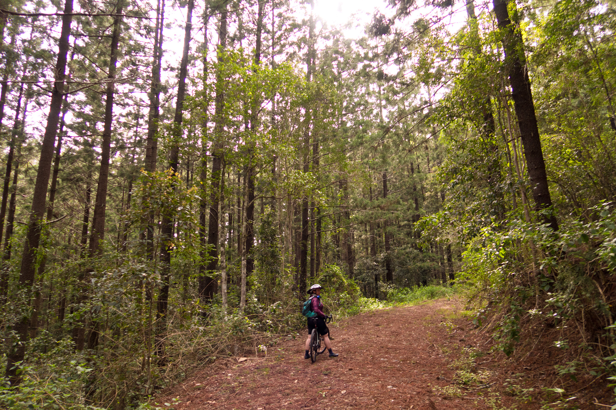
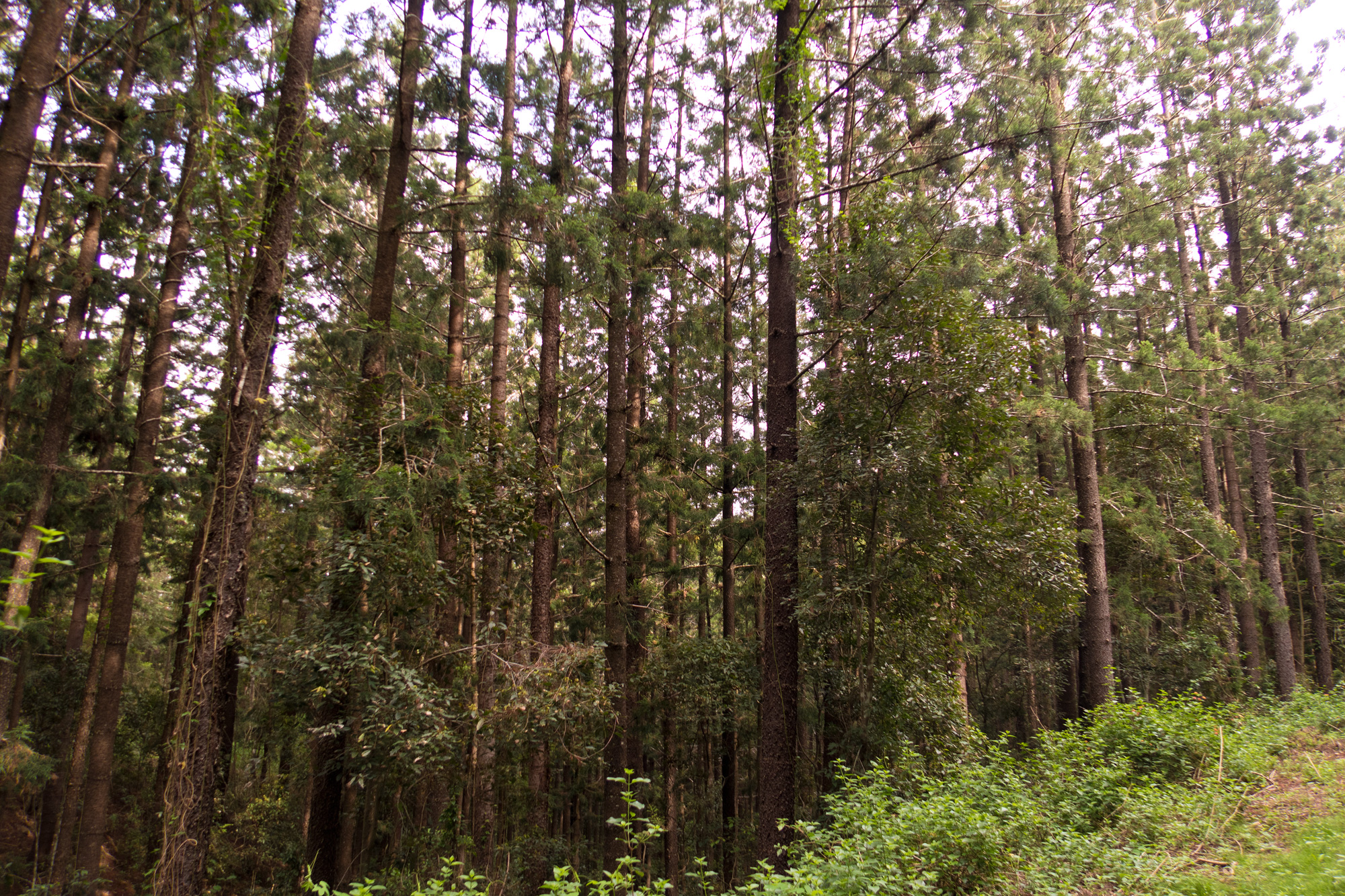
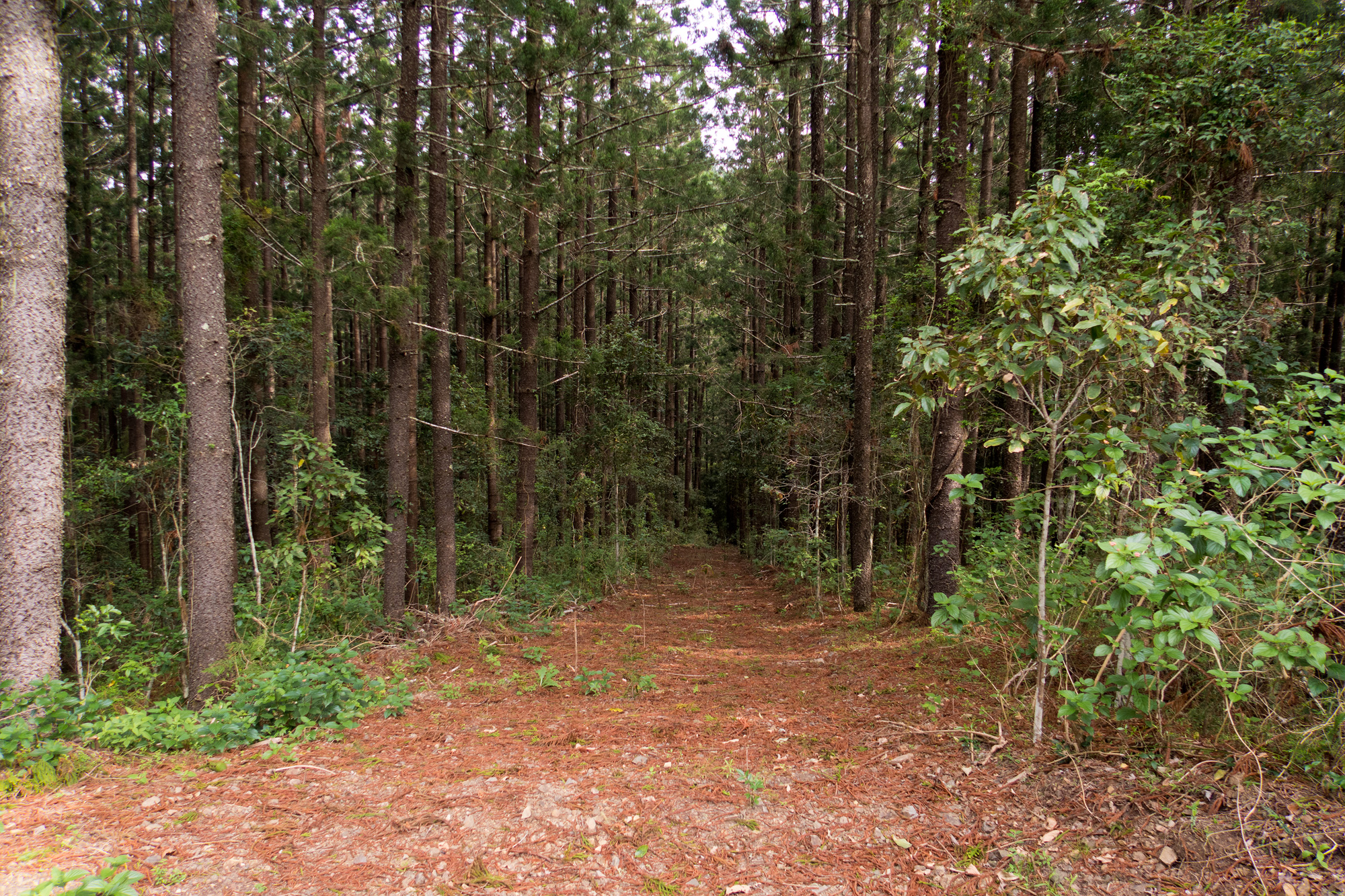
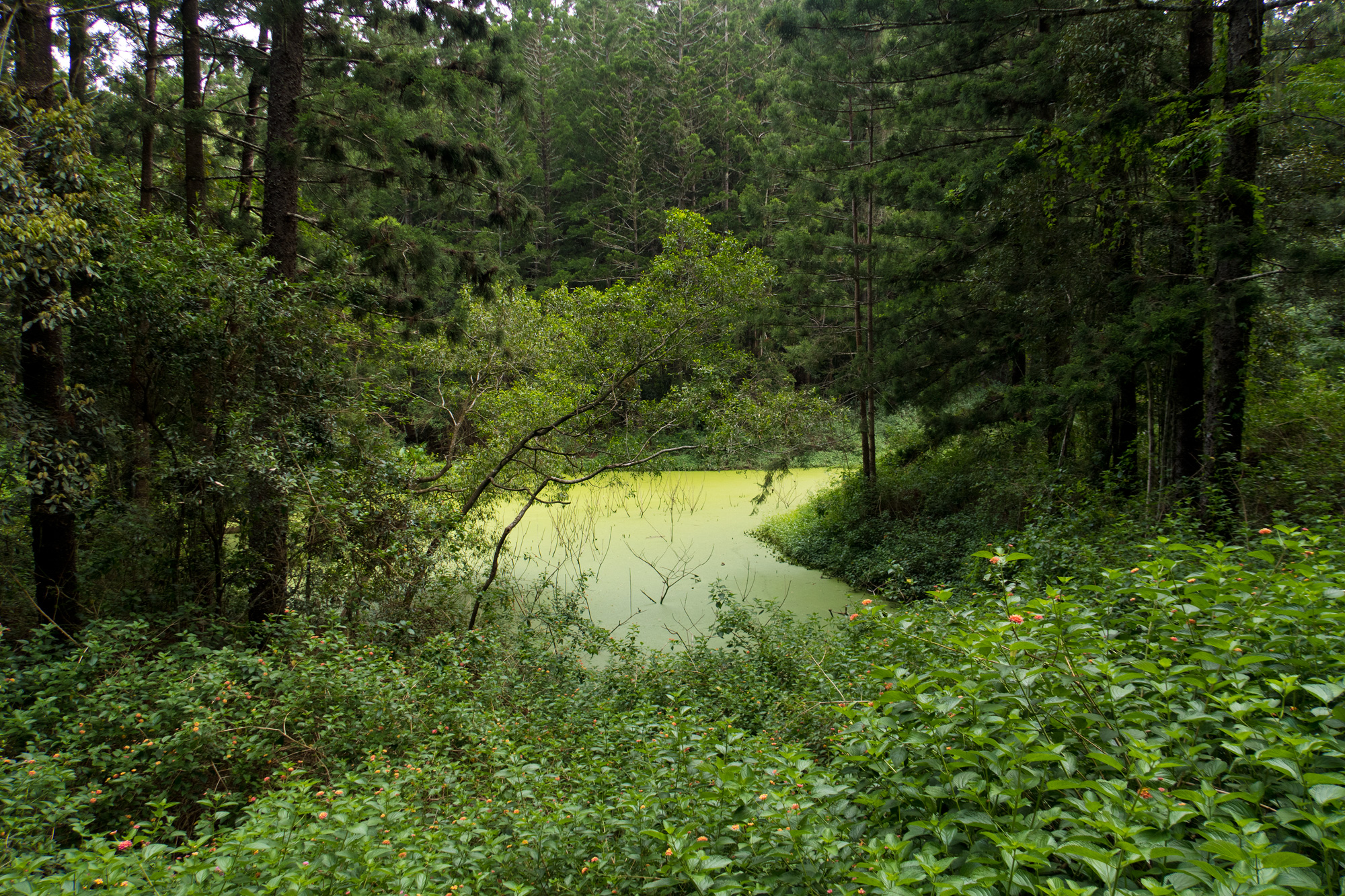
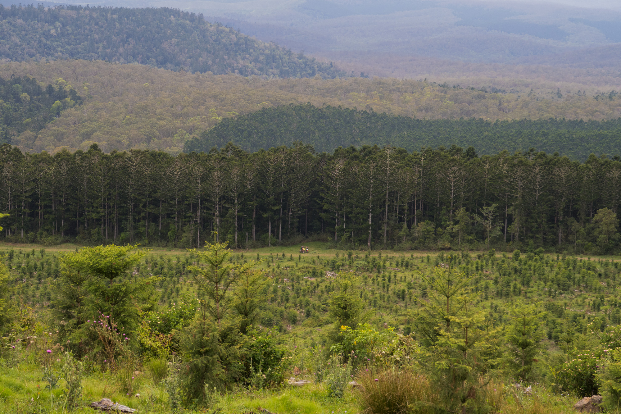
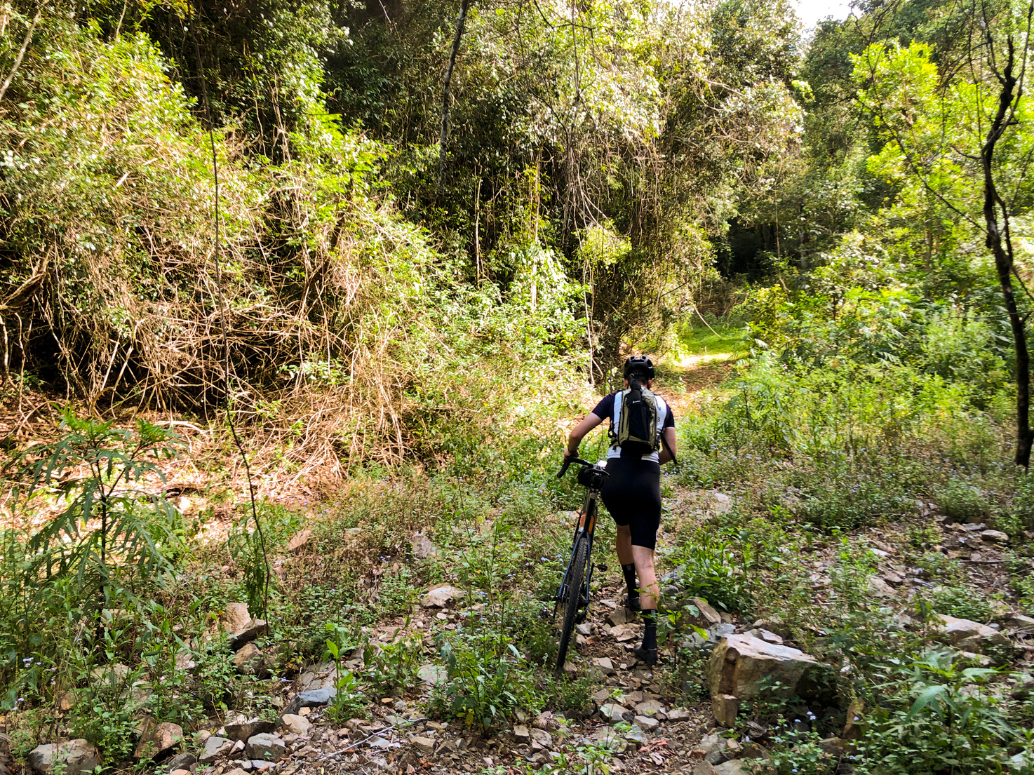
While we were resetting the gate the heat was noticeable and really started to ramp up but knowing we weren’t far from the pine forest we knew the dramatic change in temperature wasn’t far away. Once we were at the junction even though we were on the border of the pine forest it was already noticeably cooler to the point where our glasses were starting to fog up. Riding around the pine forests you’ll always come across creeks, creek crossings, dams, man made timber/rock bridges that are over 80 years old and tracks covered in pine needles.
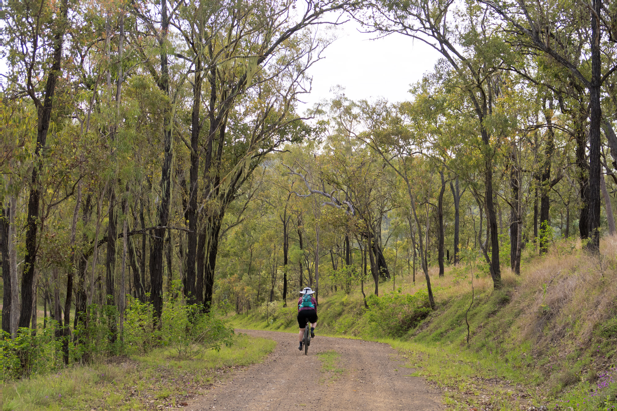
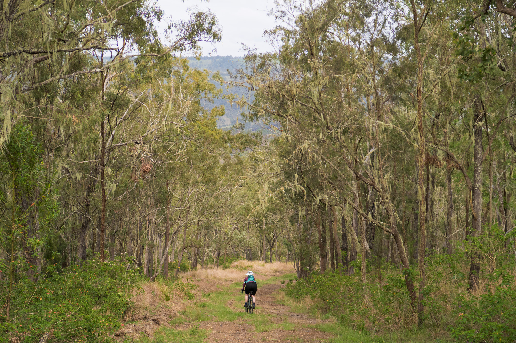
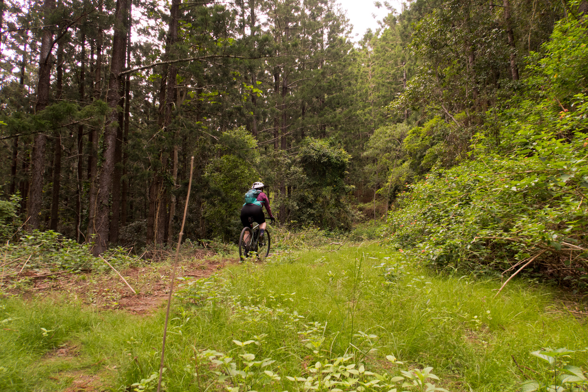
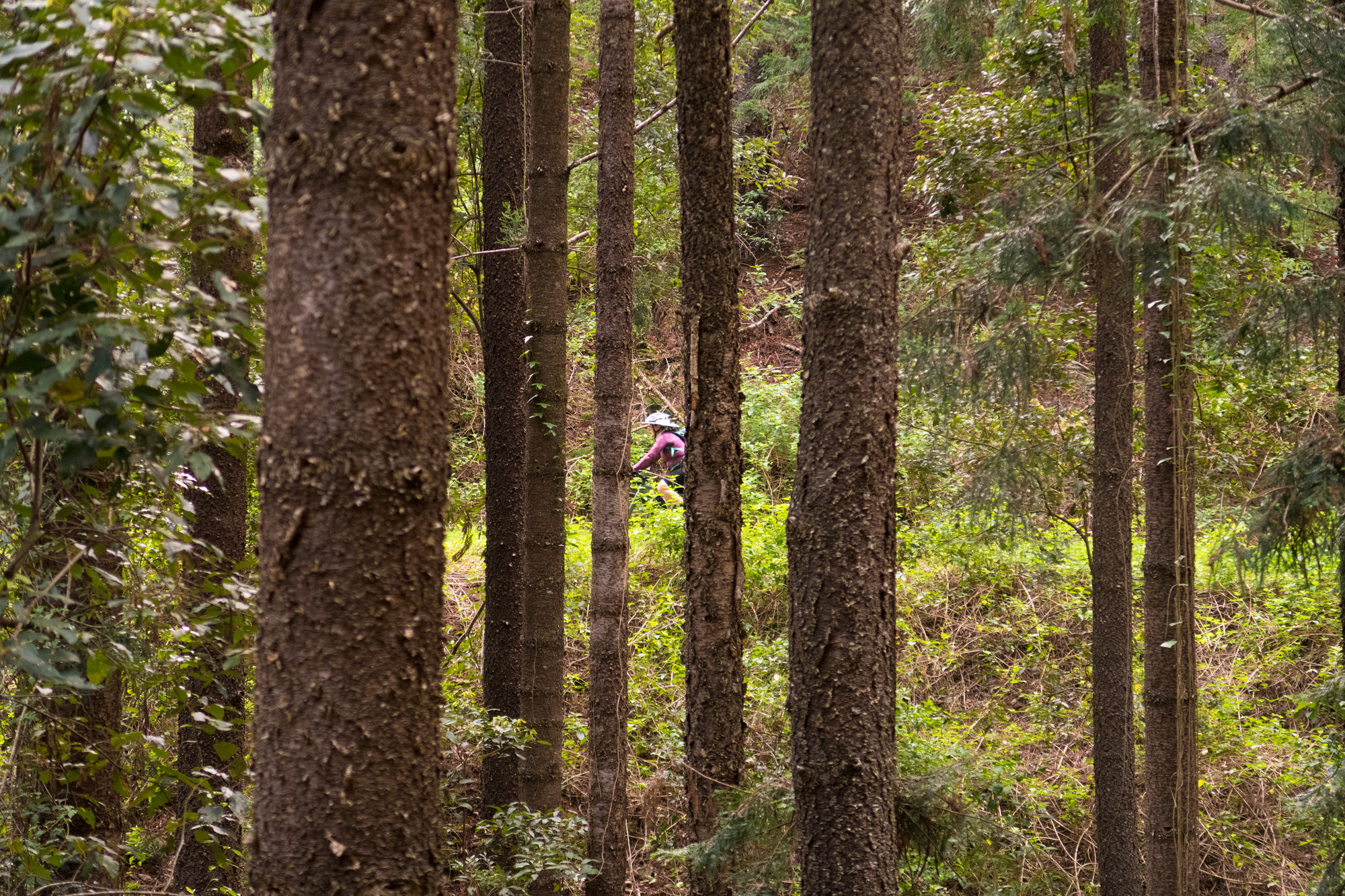
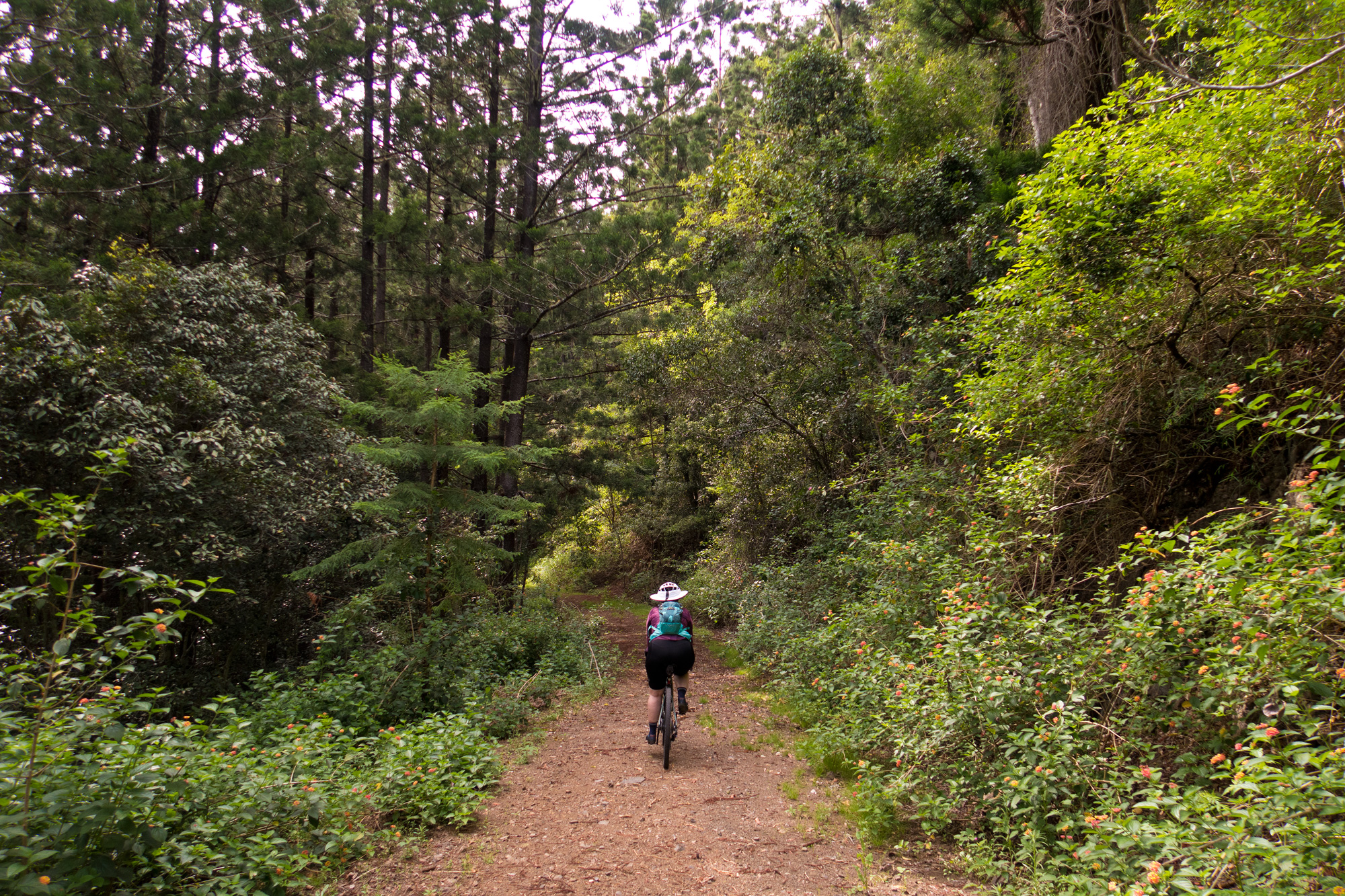
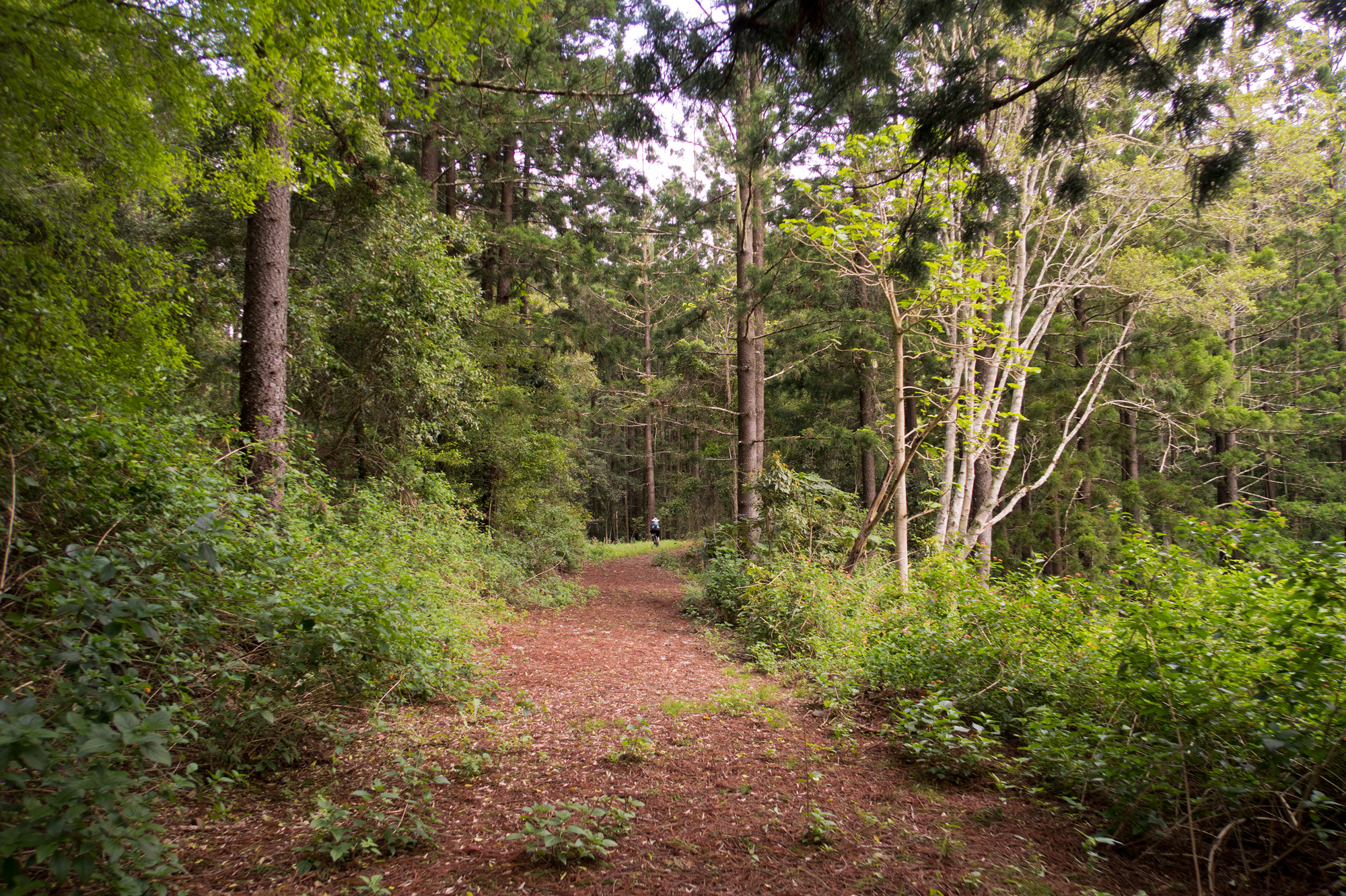
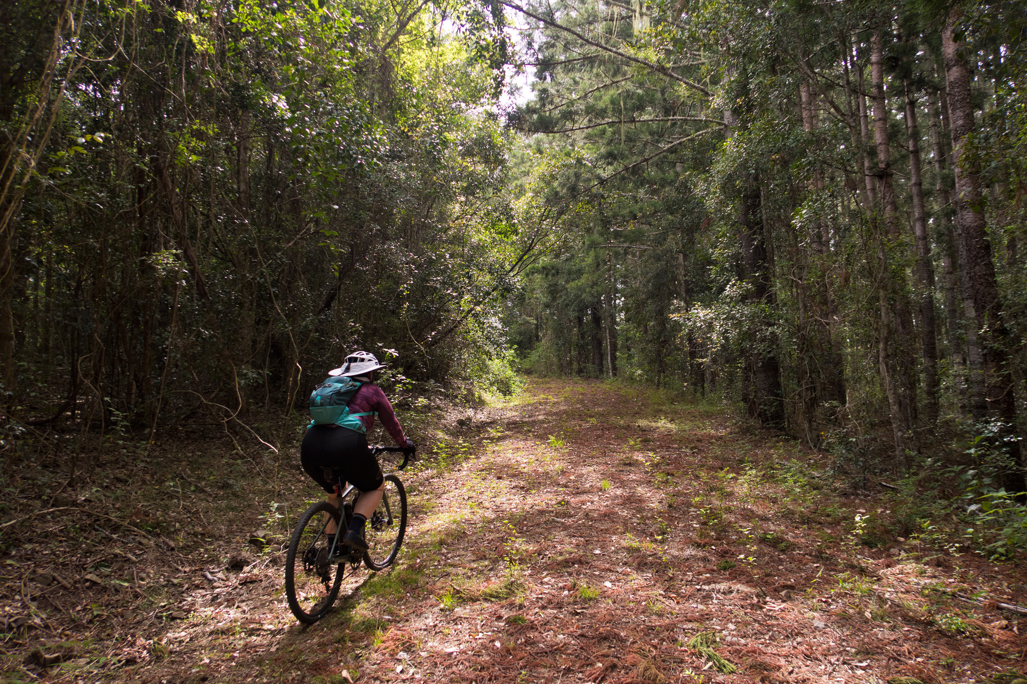
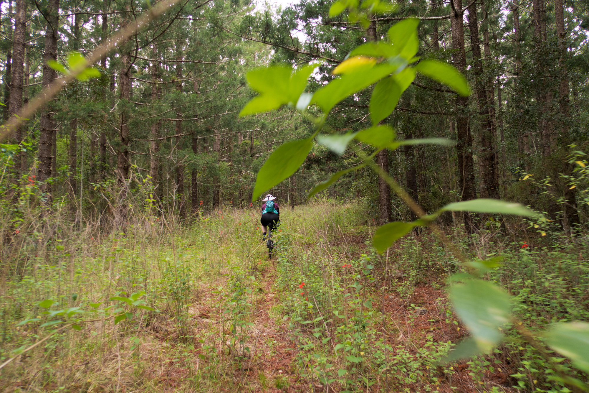
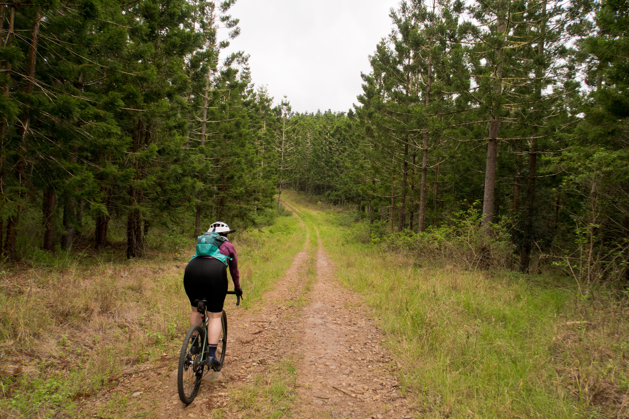
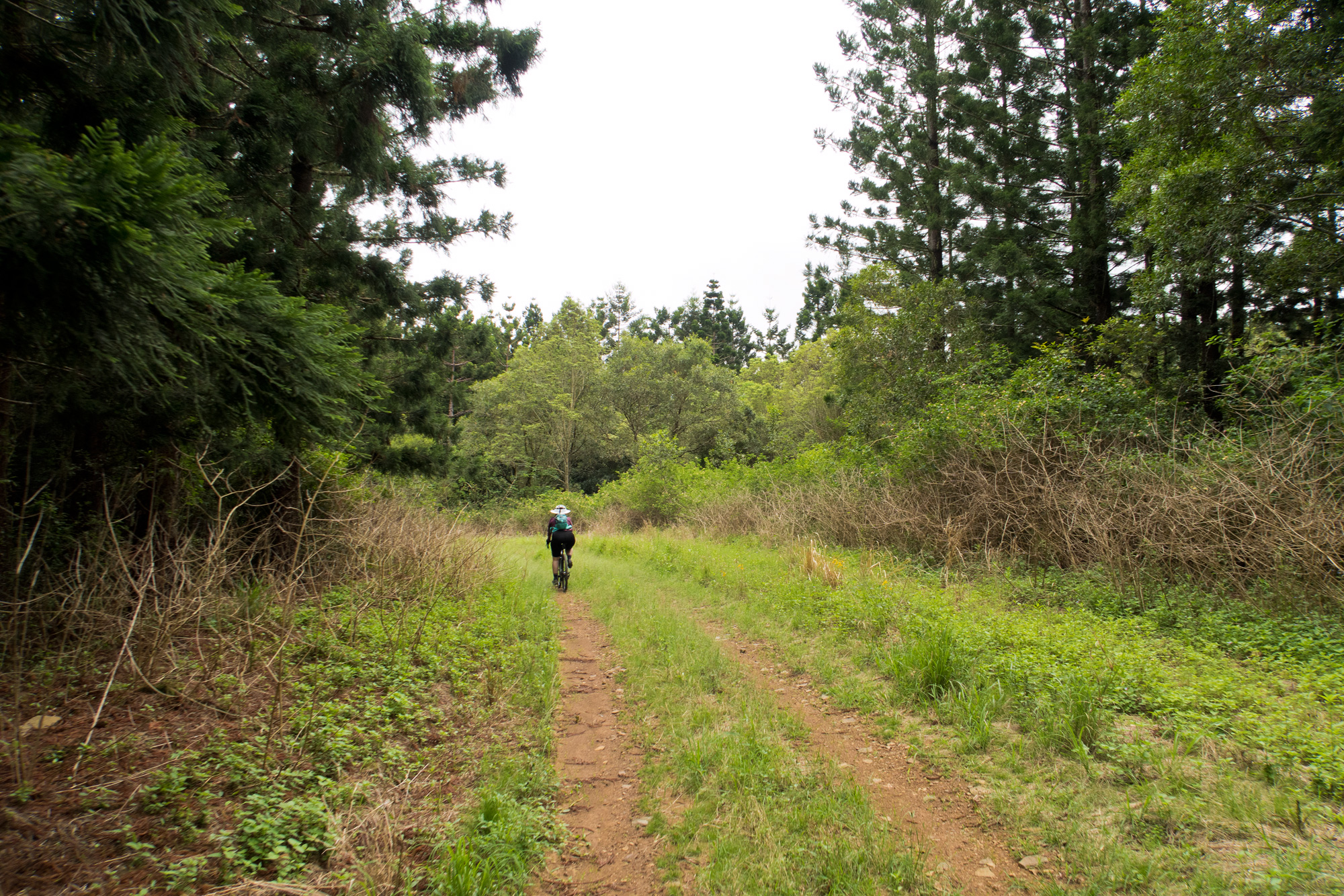
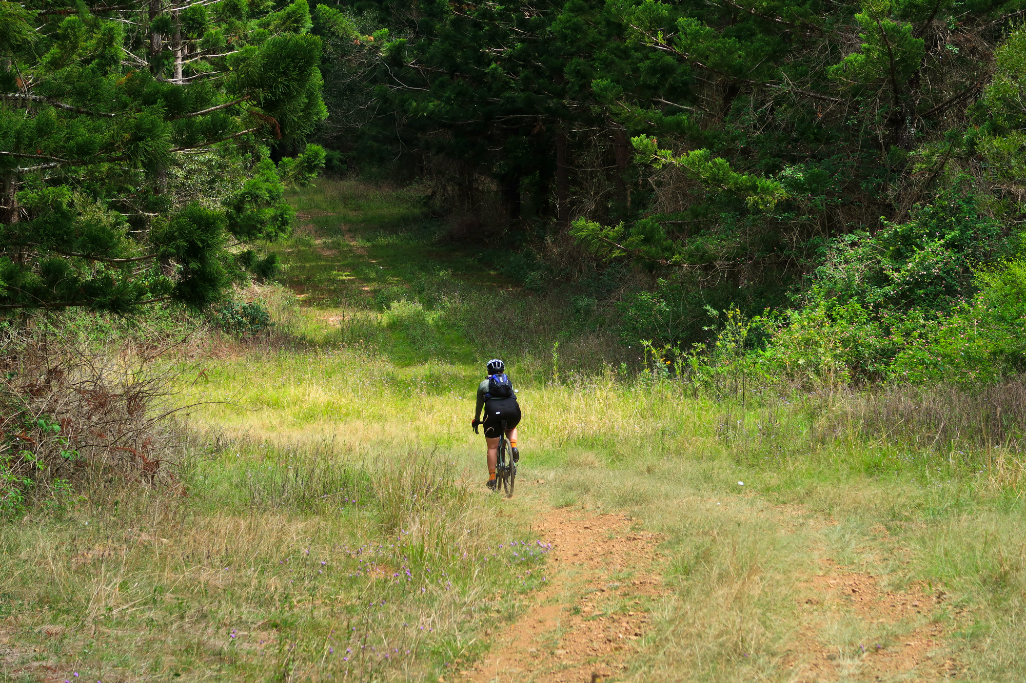
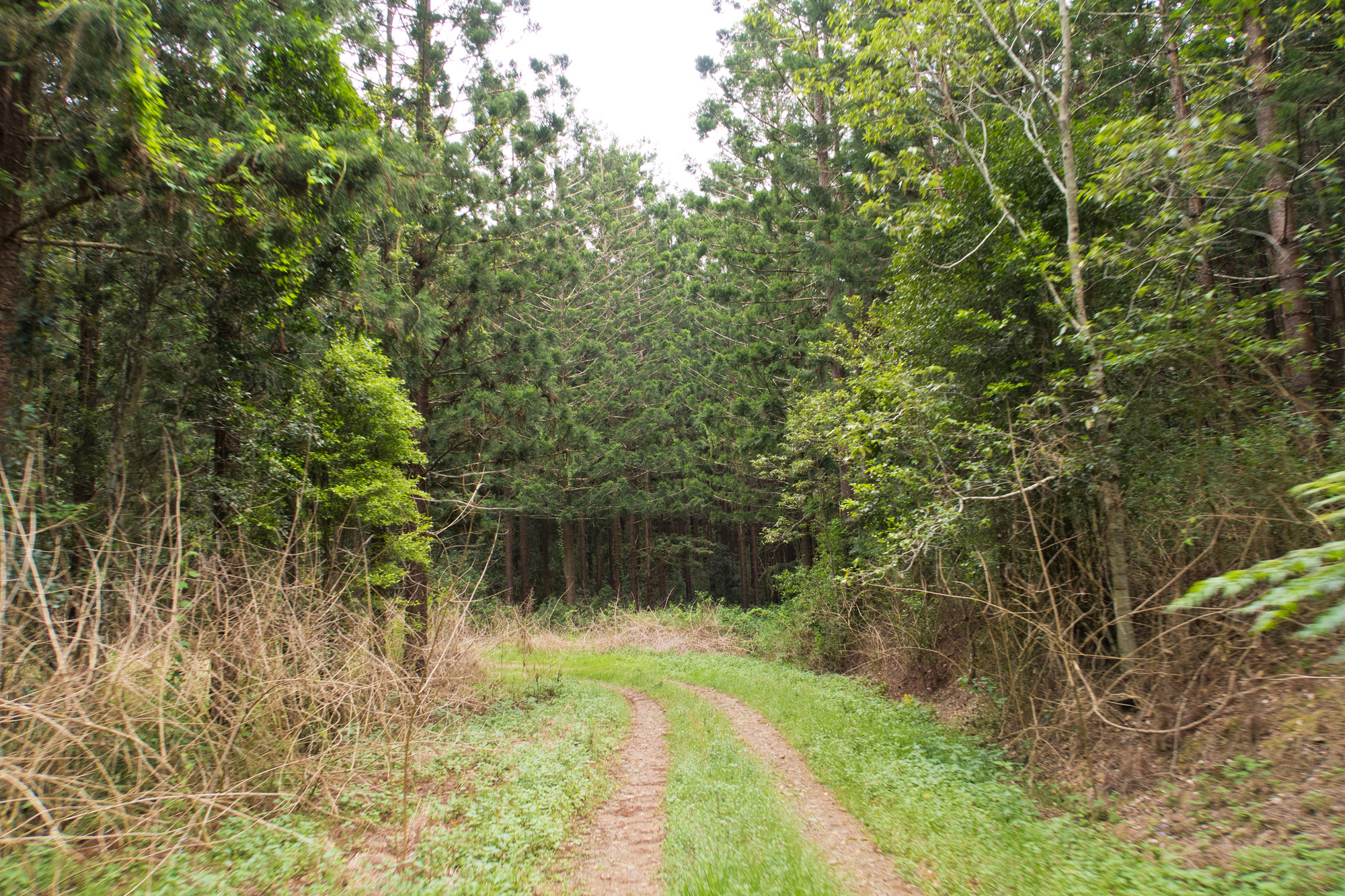
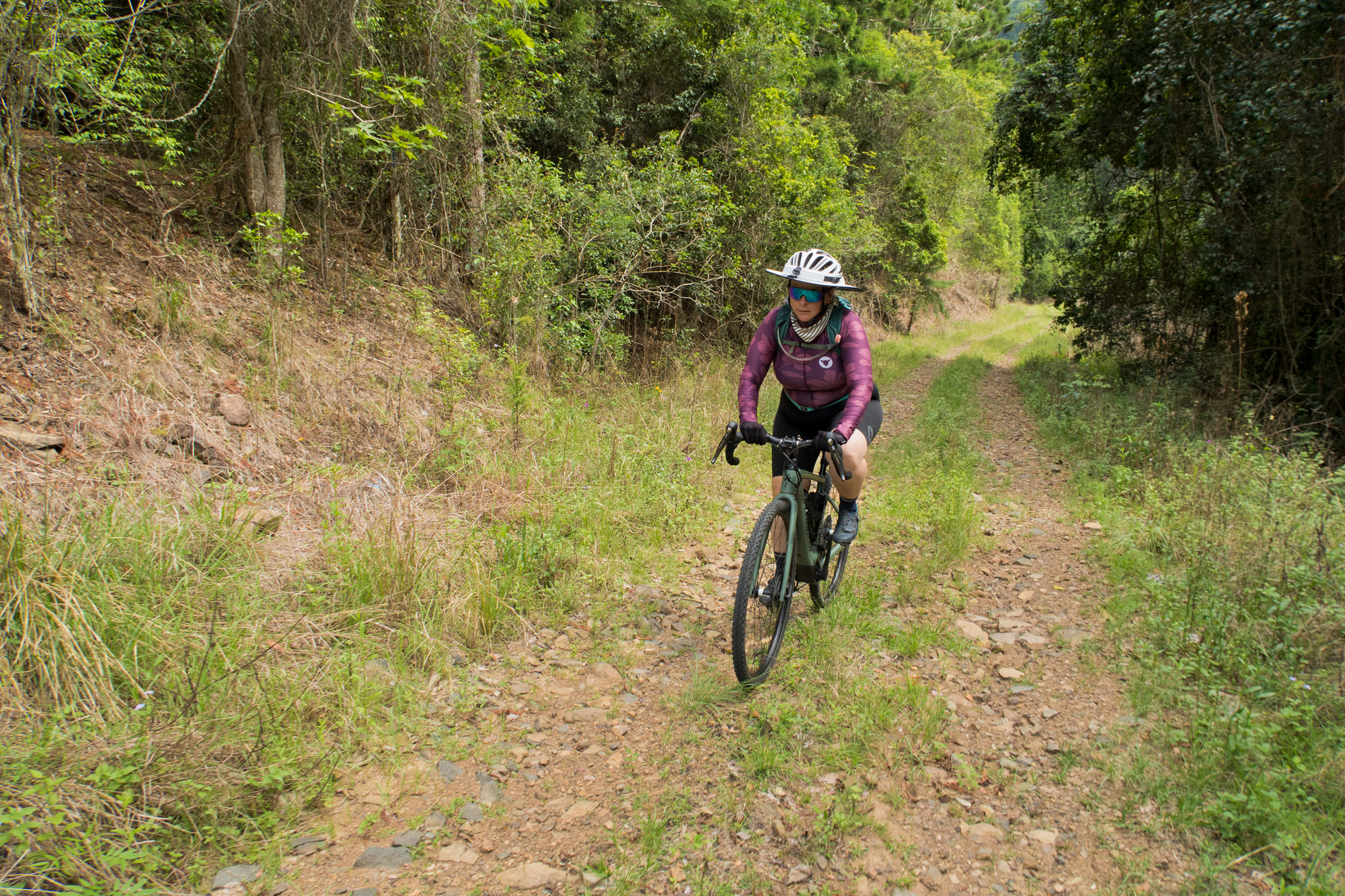
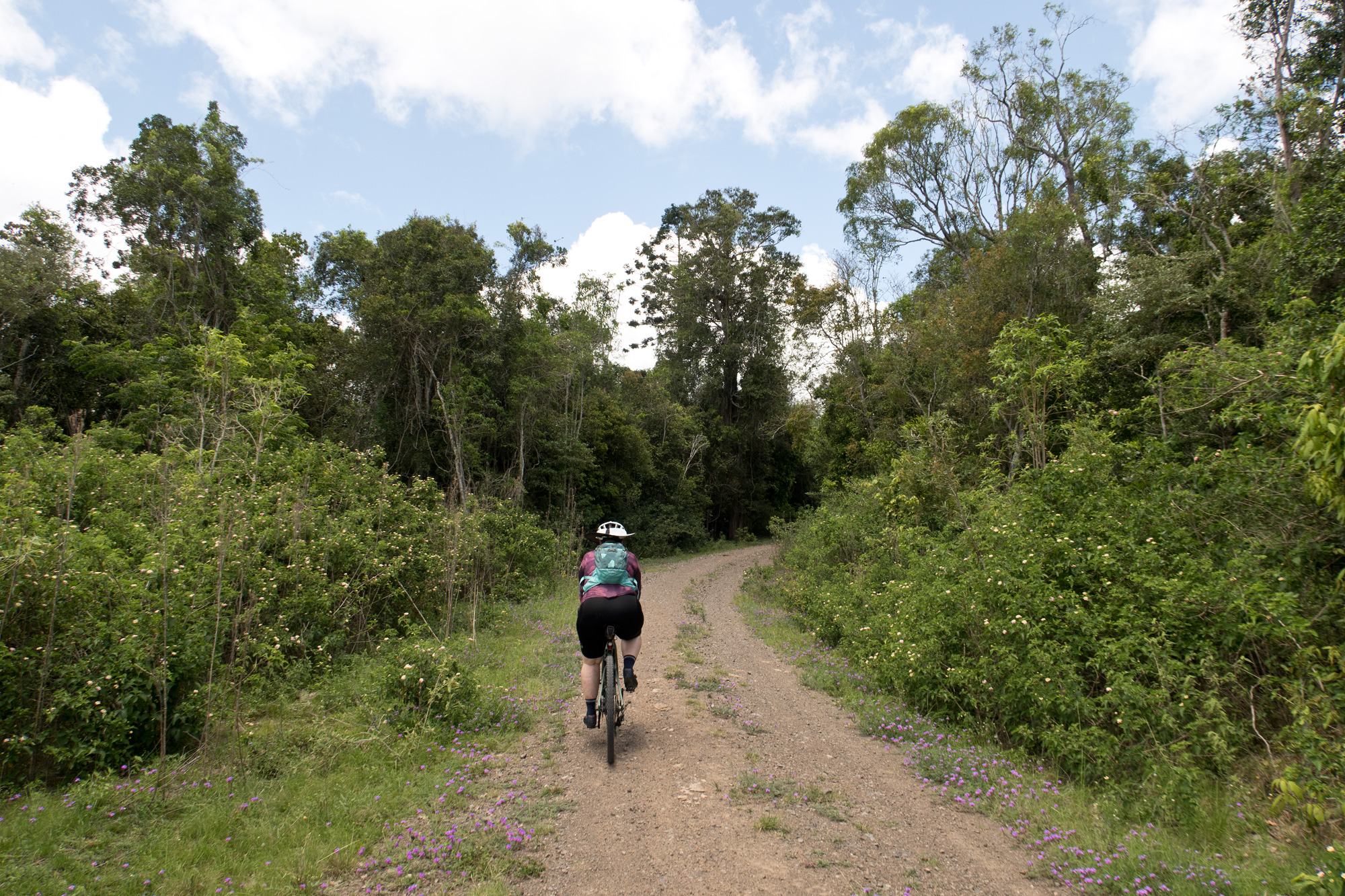
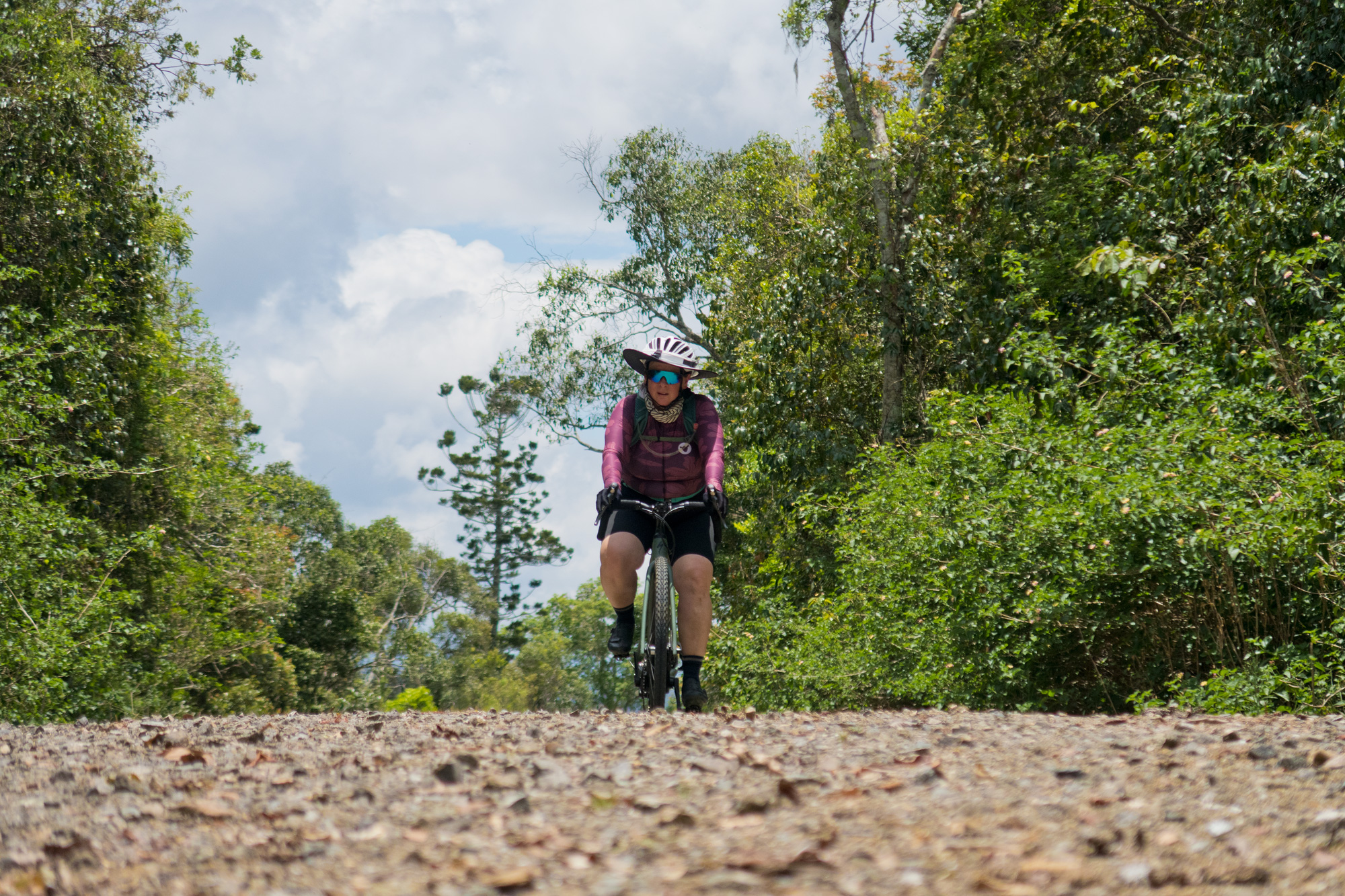
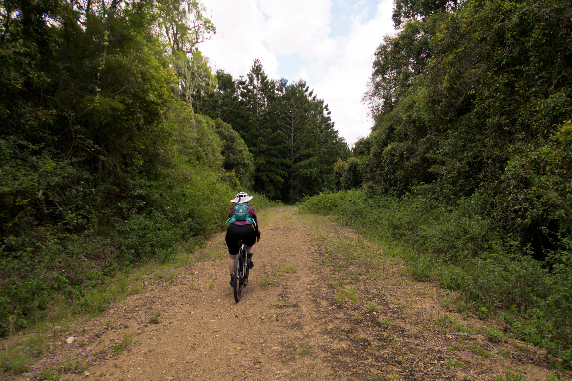
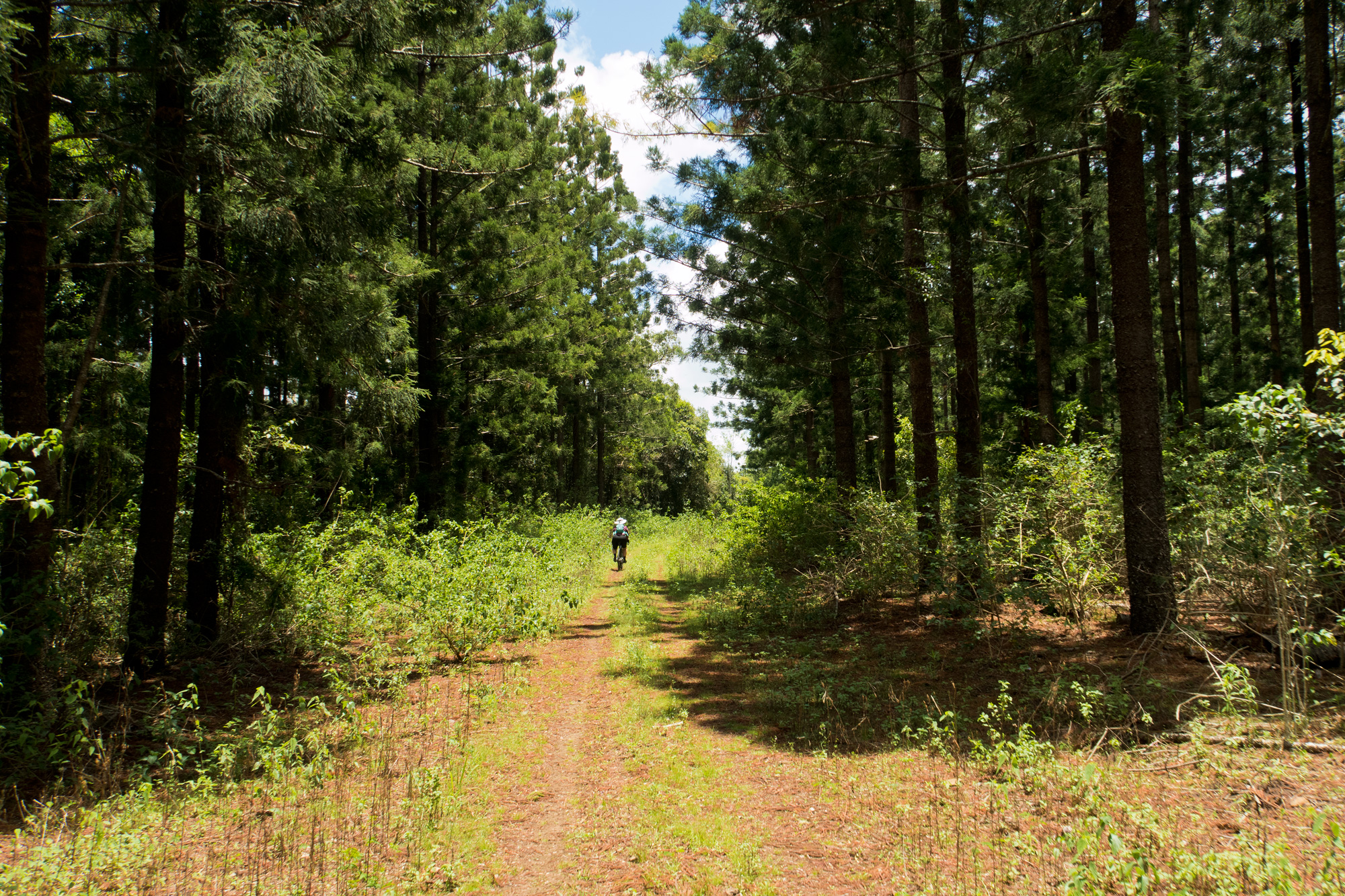
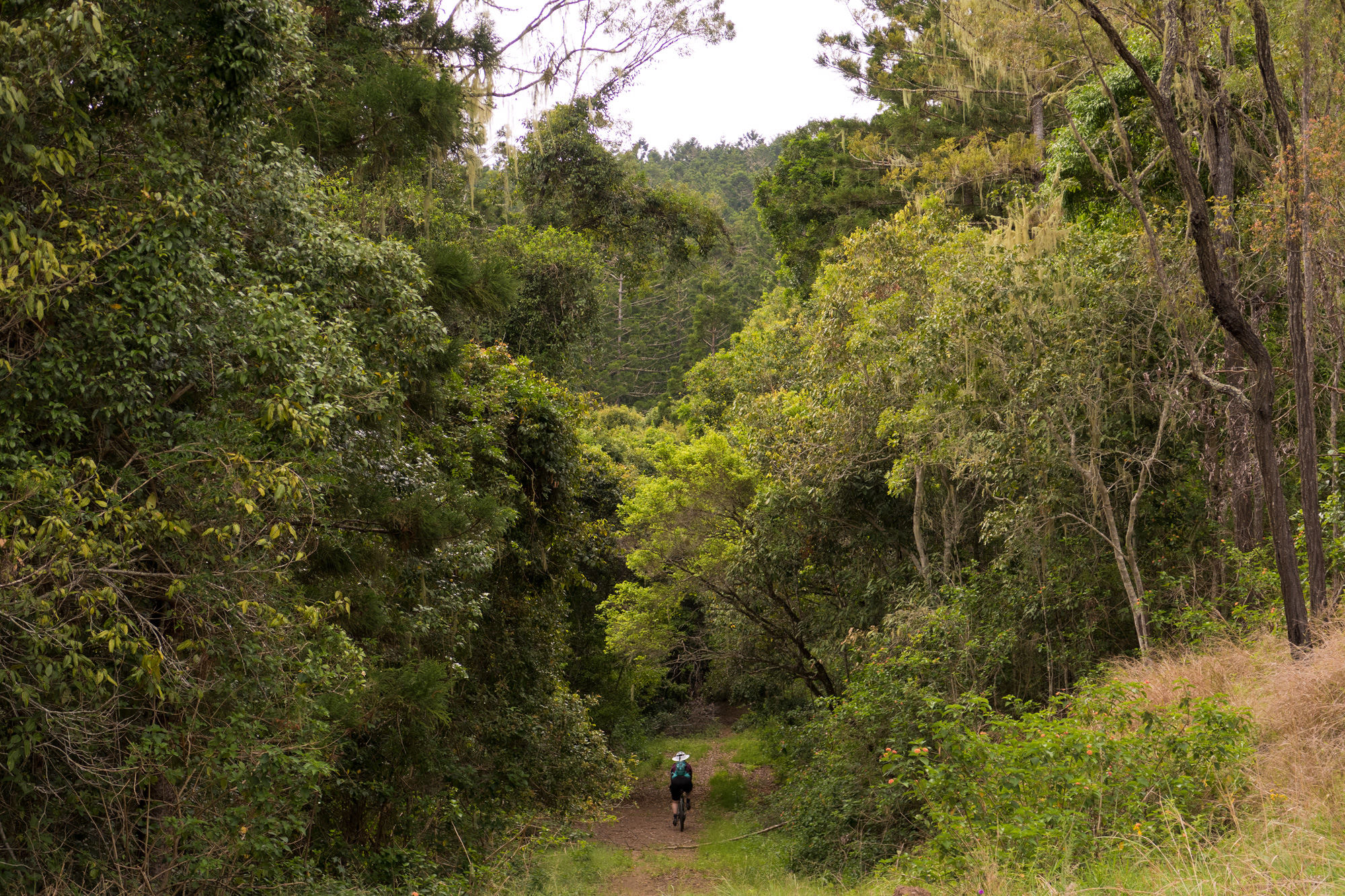 Bronwyn venturing off into the pine forest.
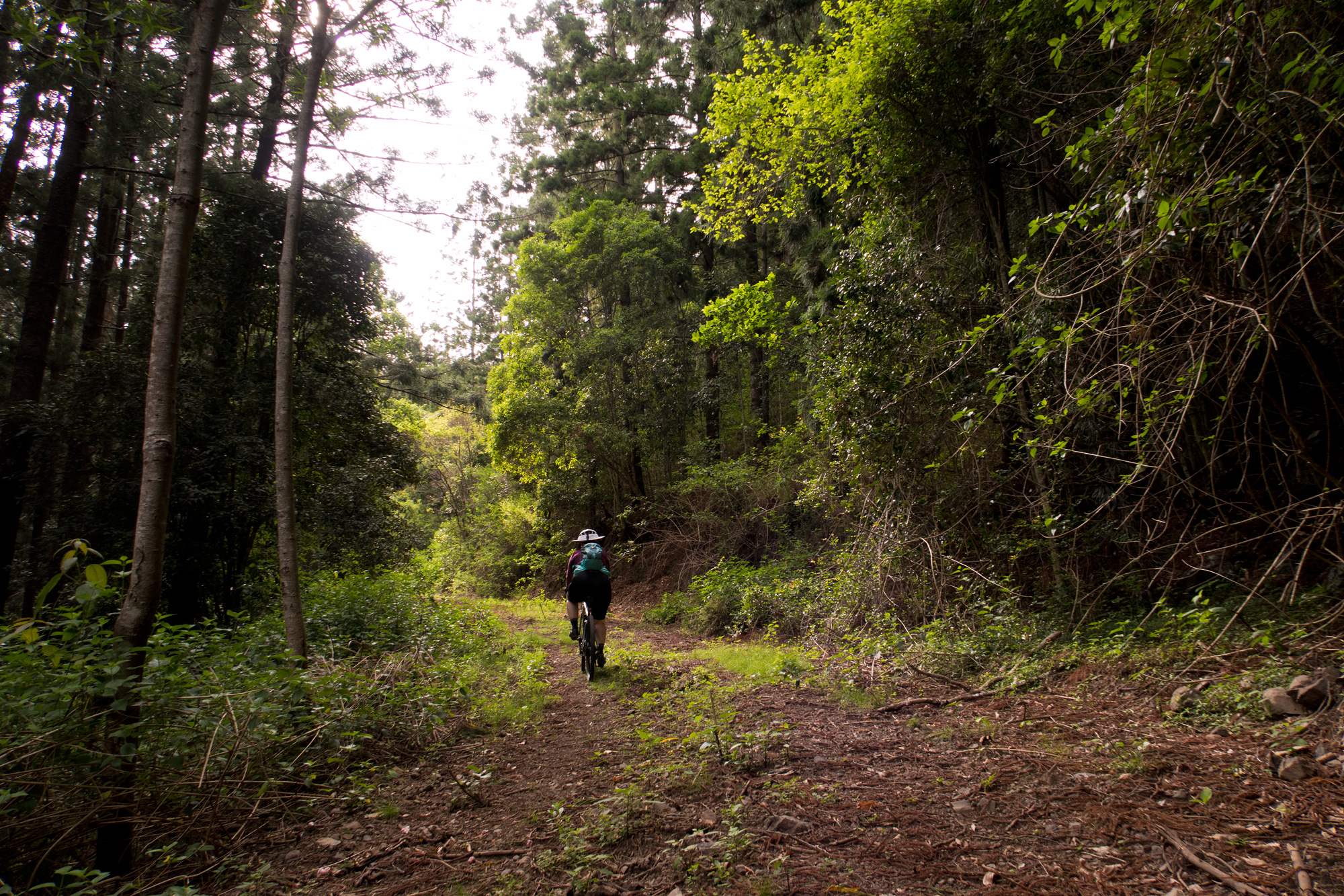
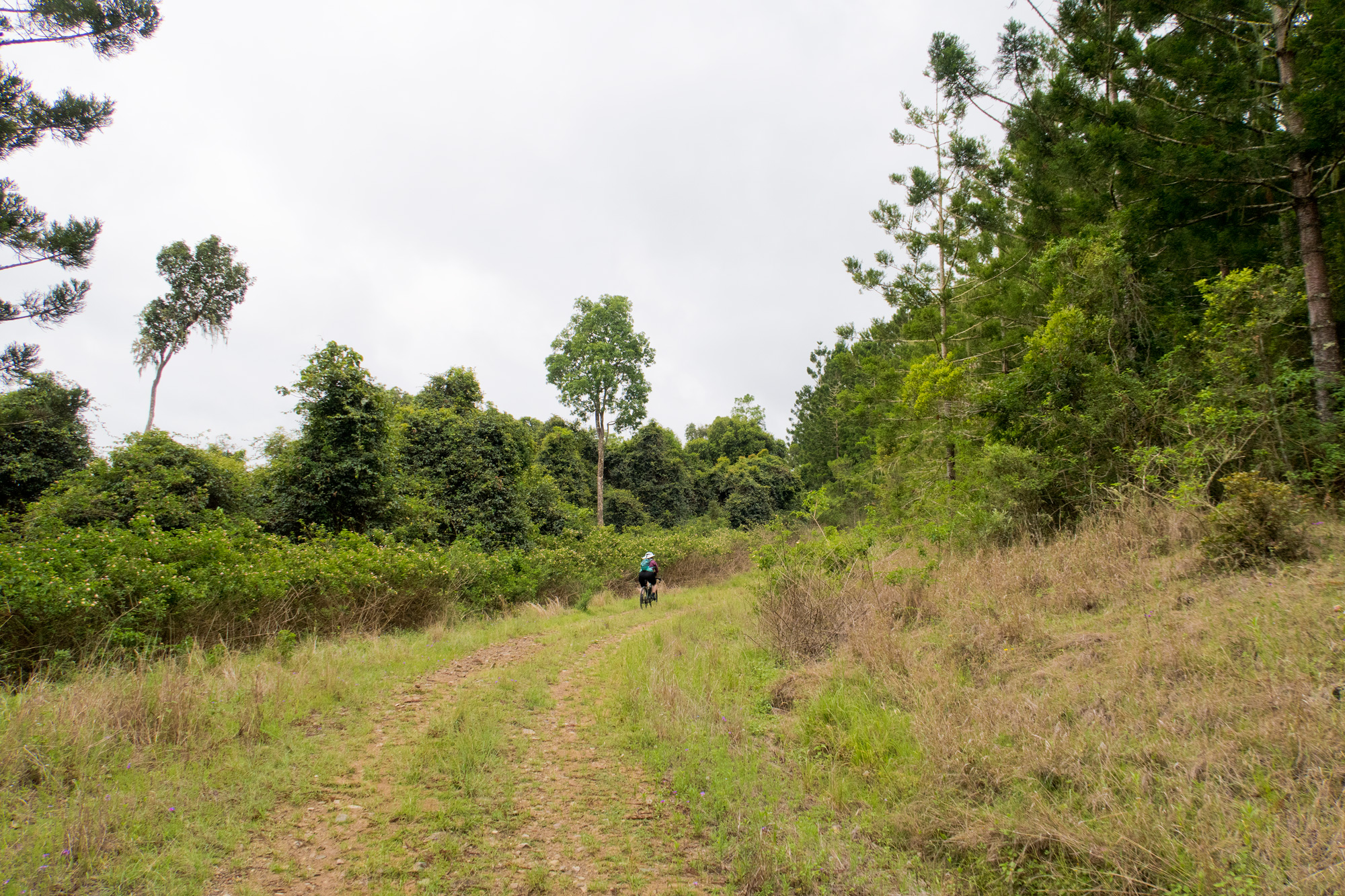
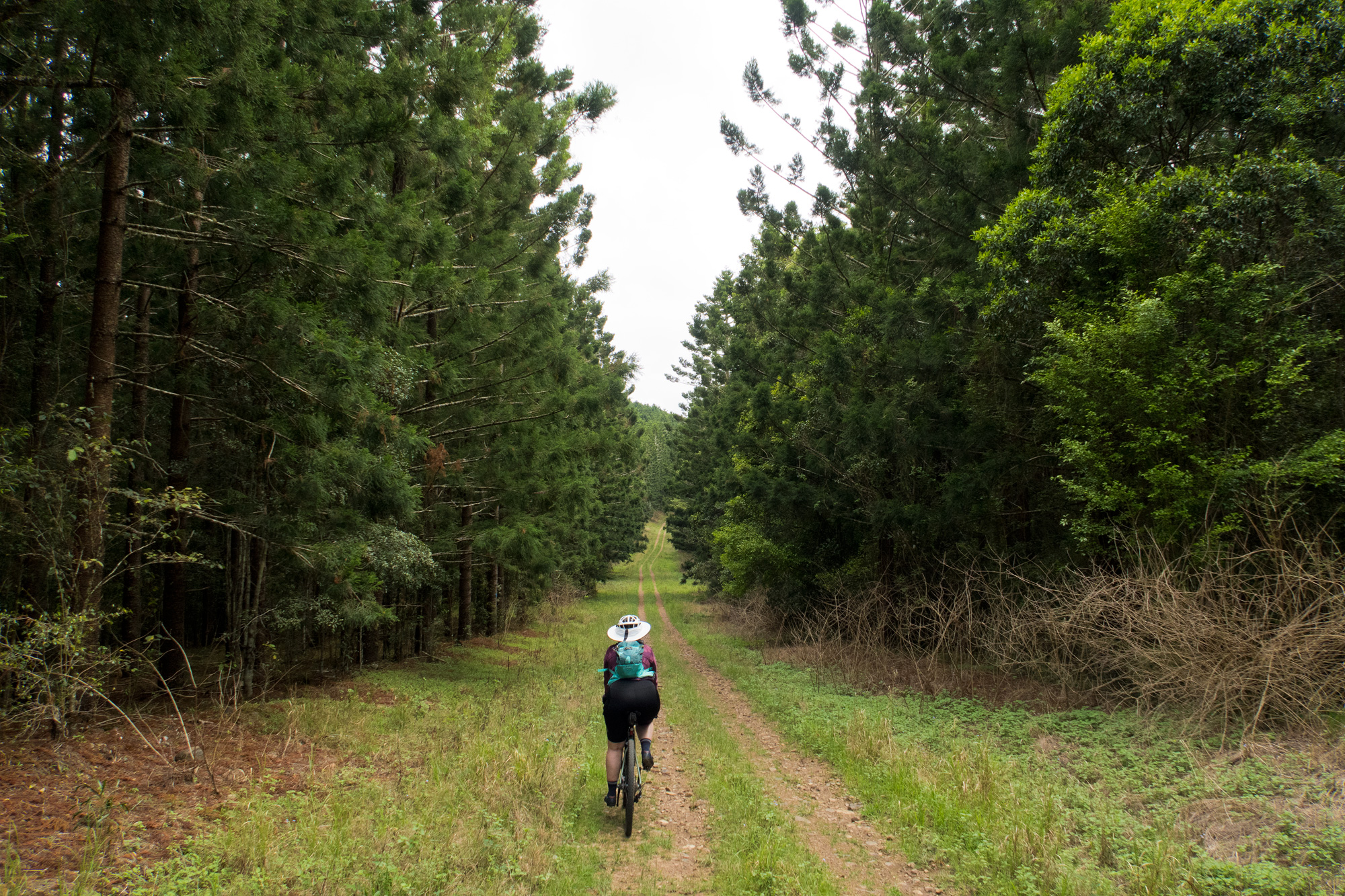
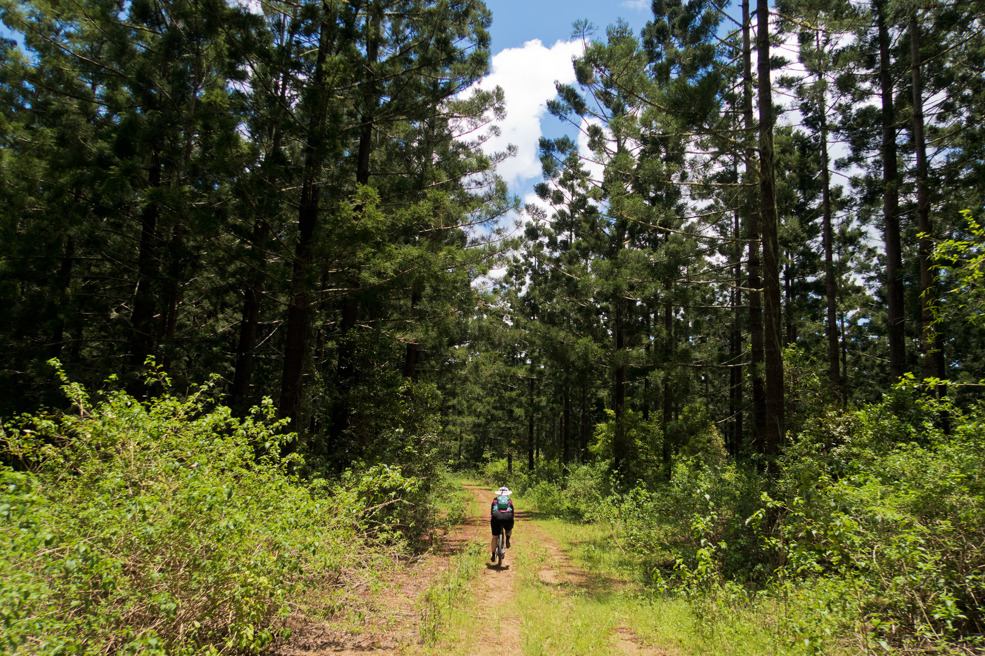
 Pine trees once again providing coolness on a warm day.
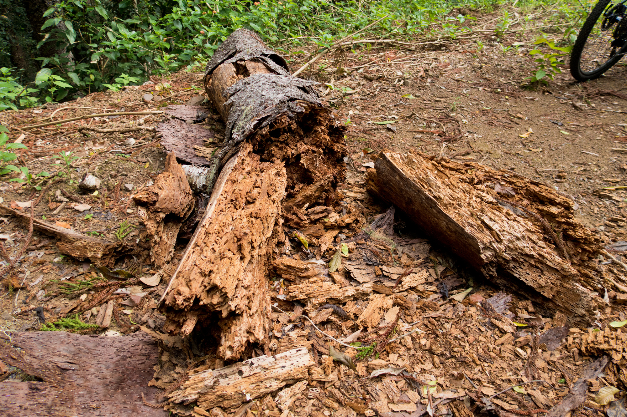
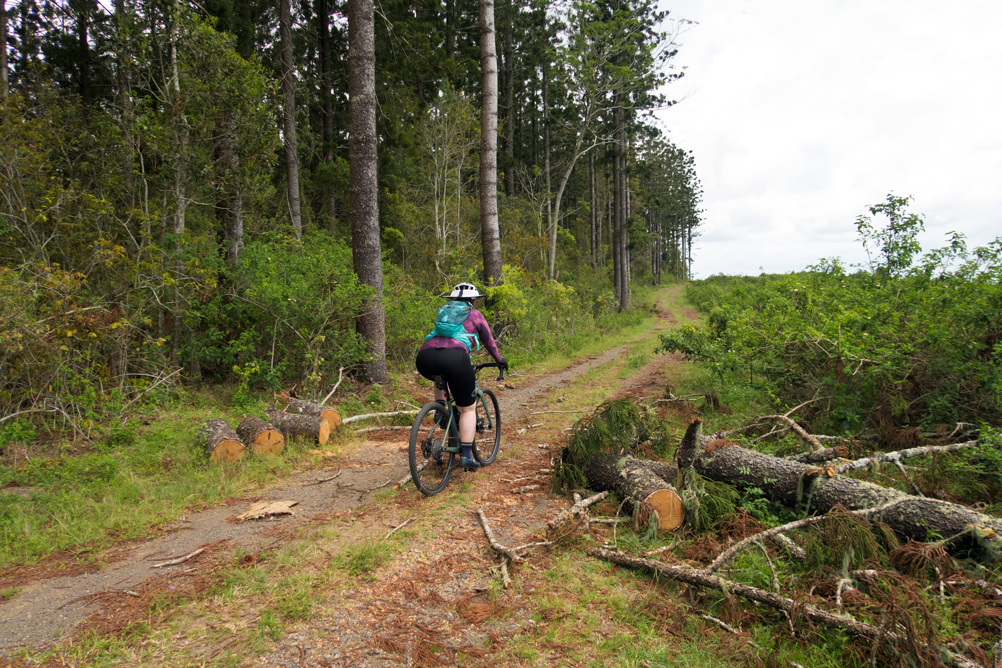
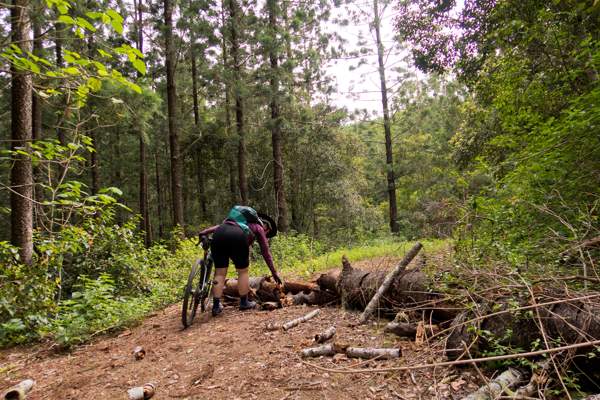 Bronwyn inspecting the fallen tree to see if it was storm or termite related. If storm related it was stepping over. If termite its kicking through.
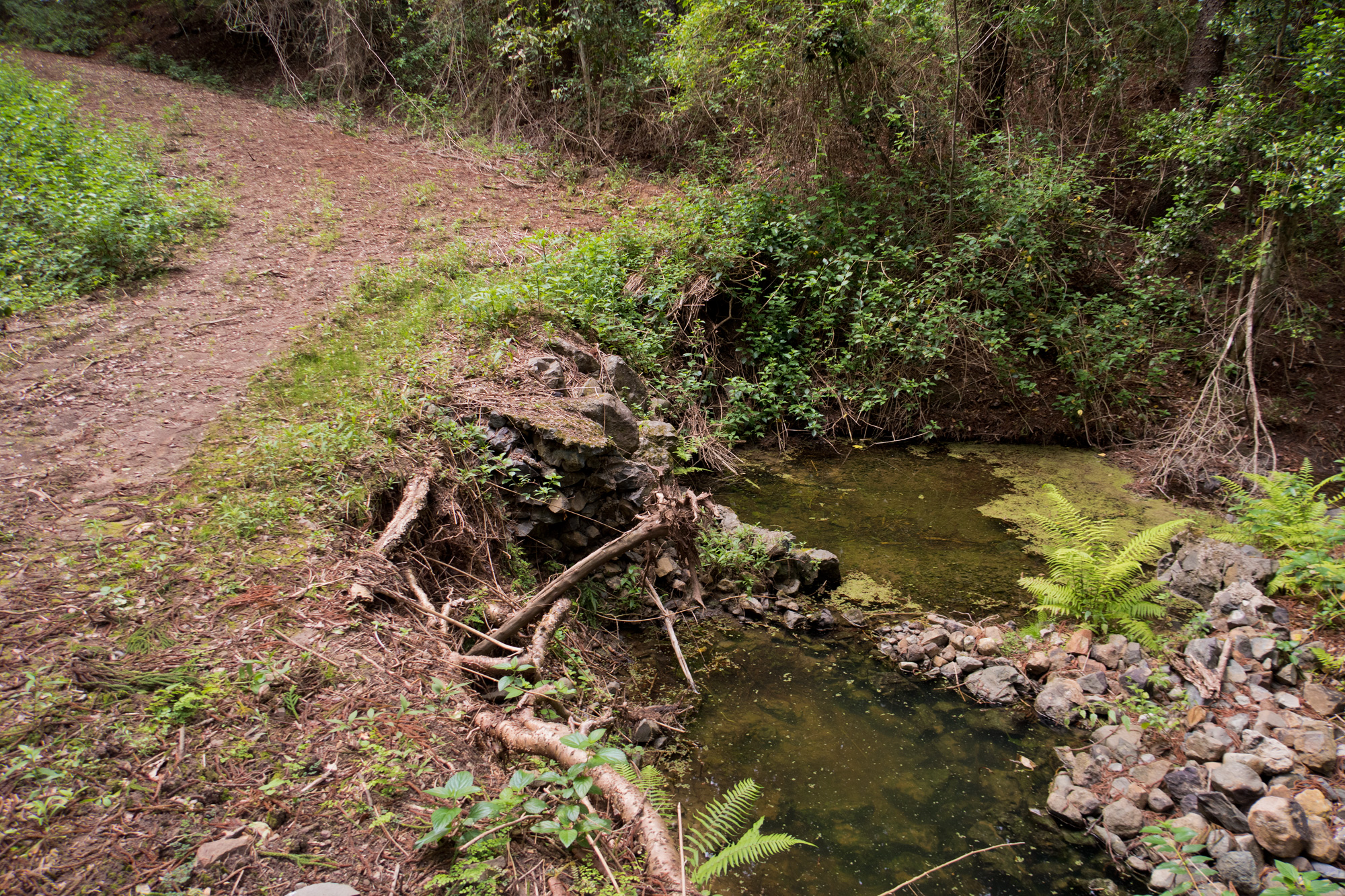
 Bronwyn checking out the rock bridge before the climb back out.
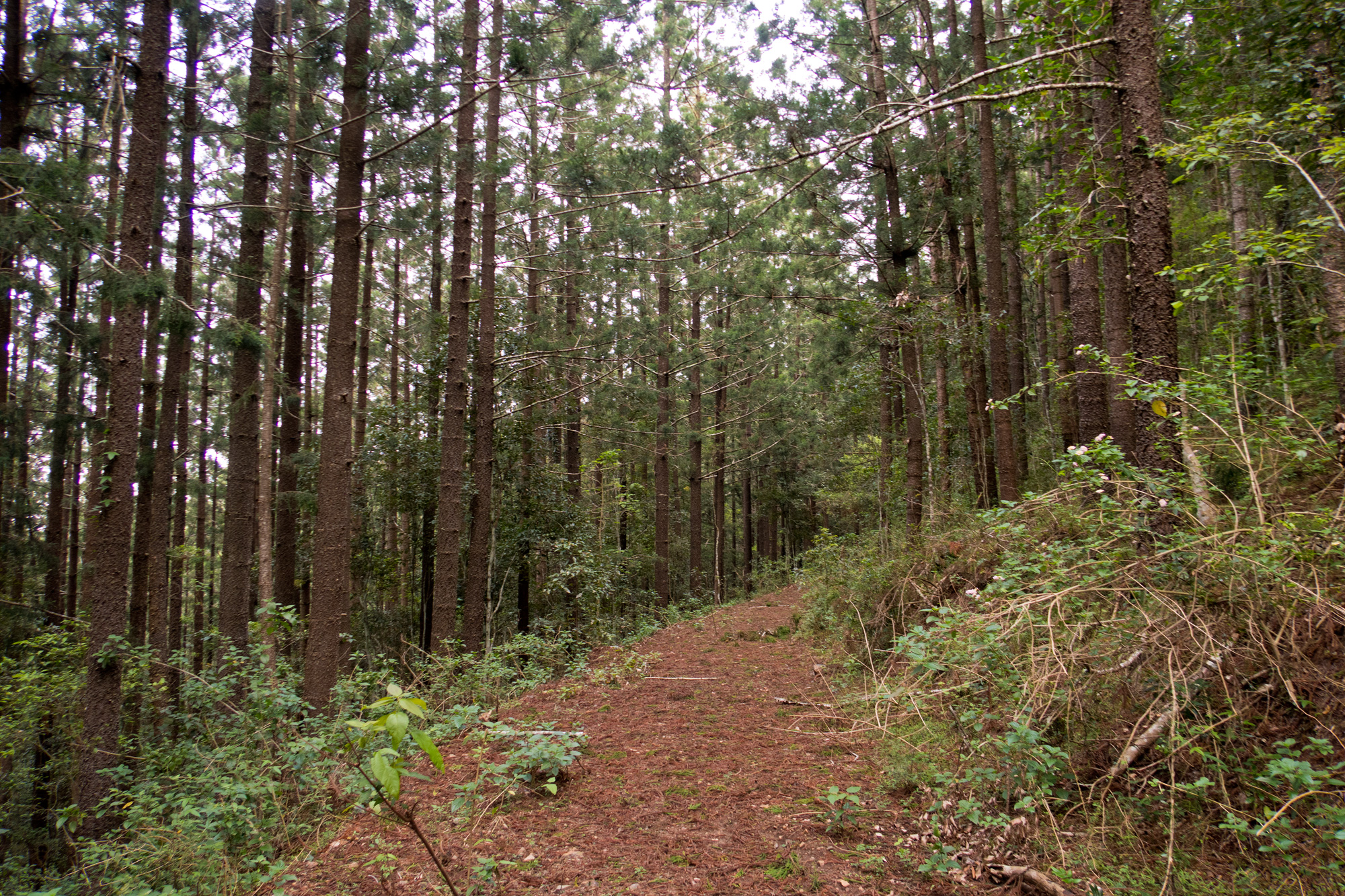
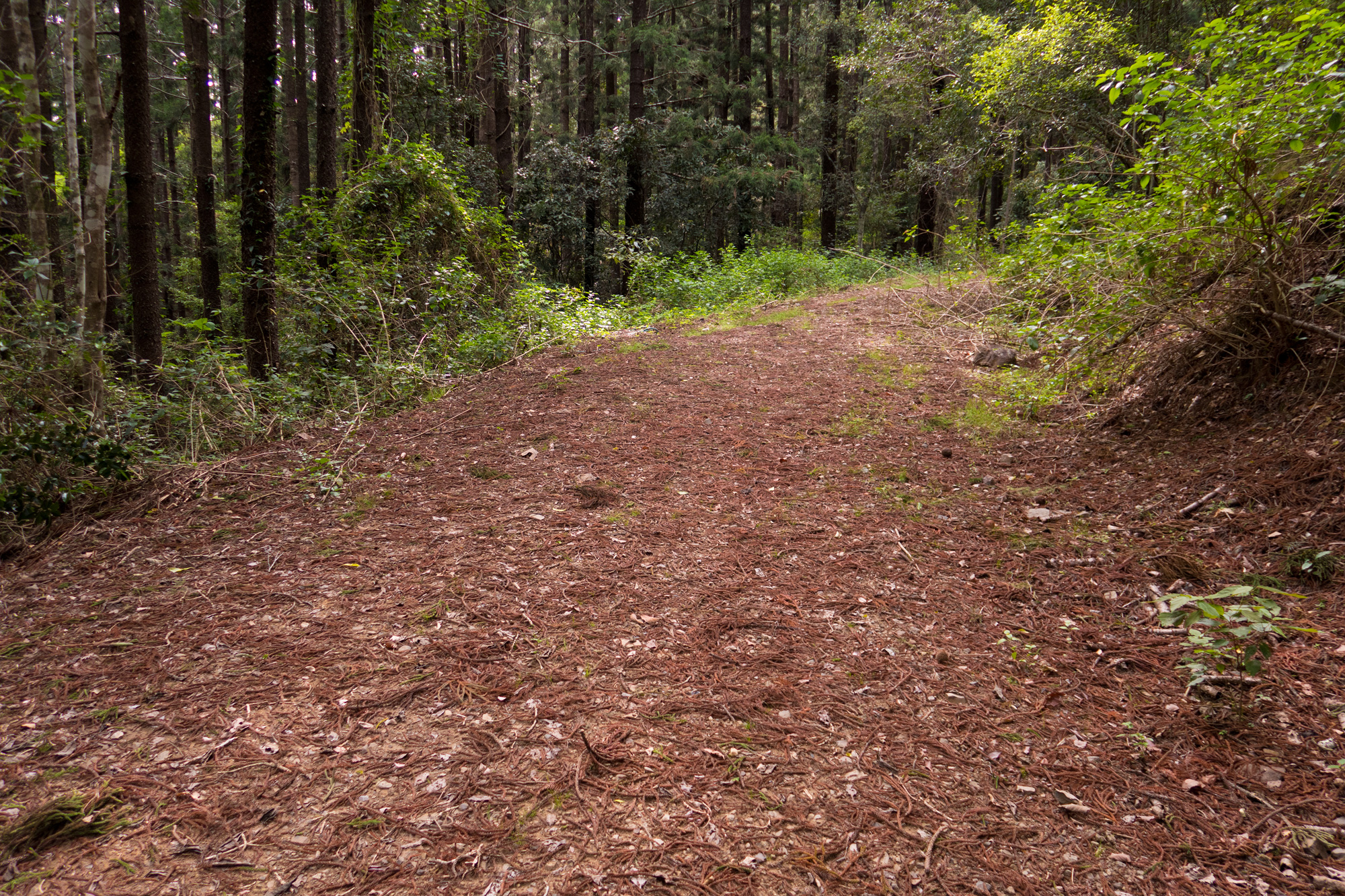
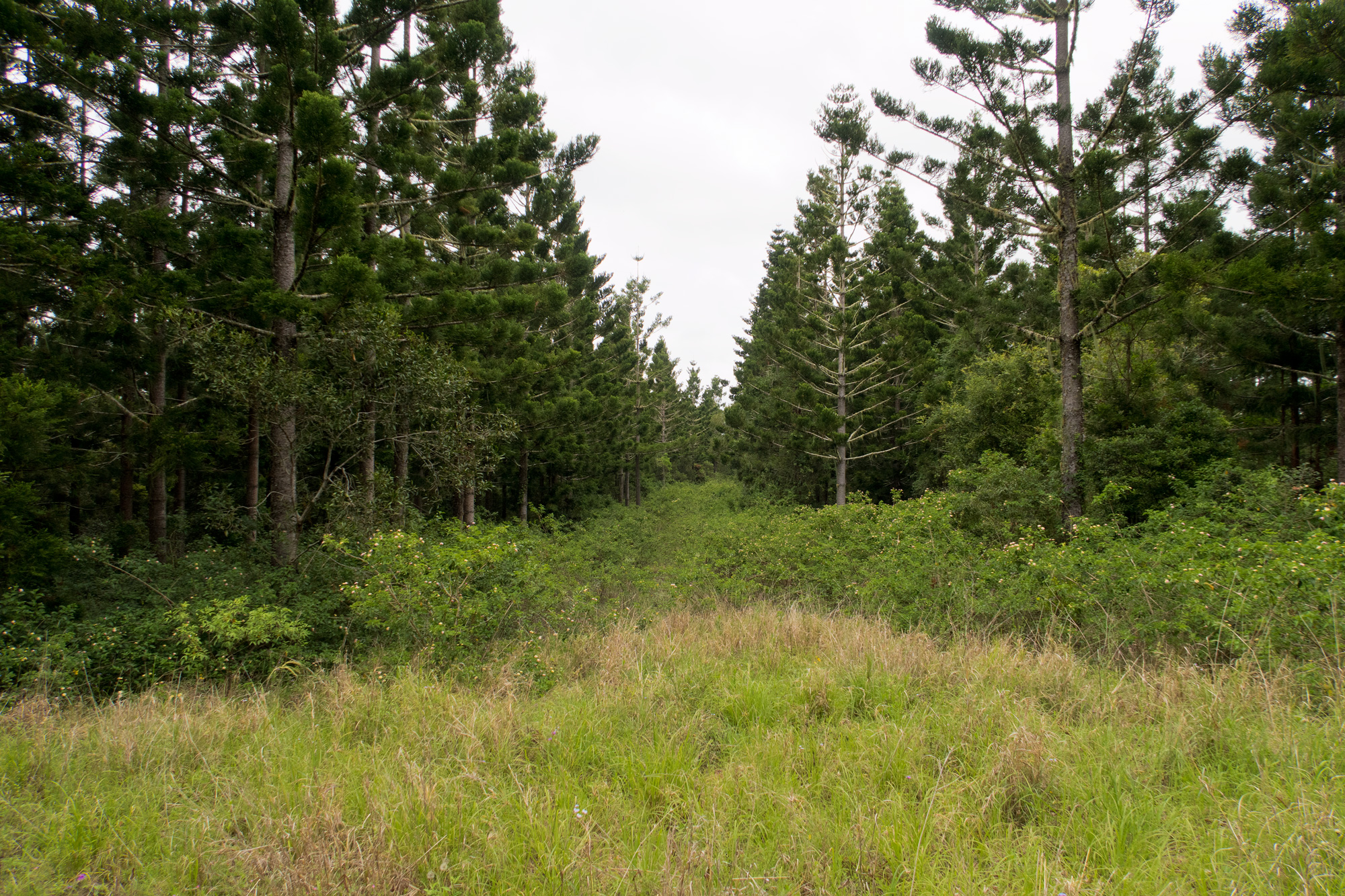
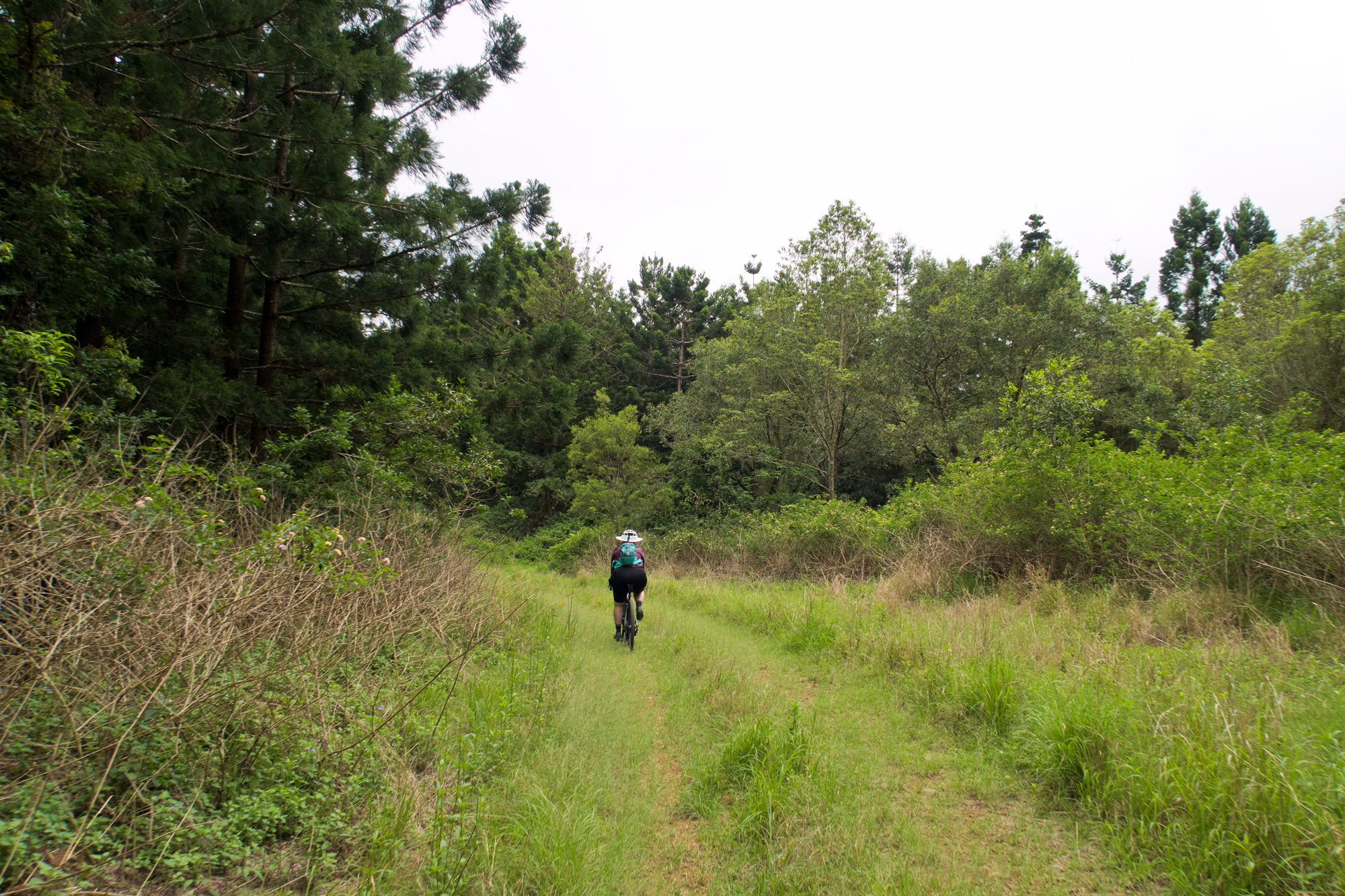
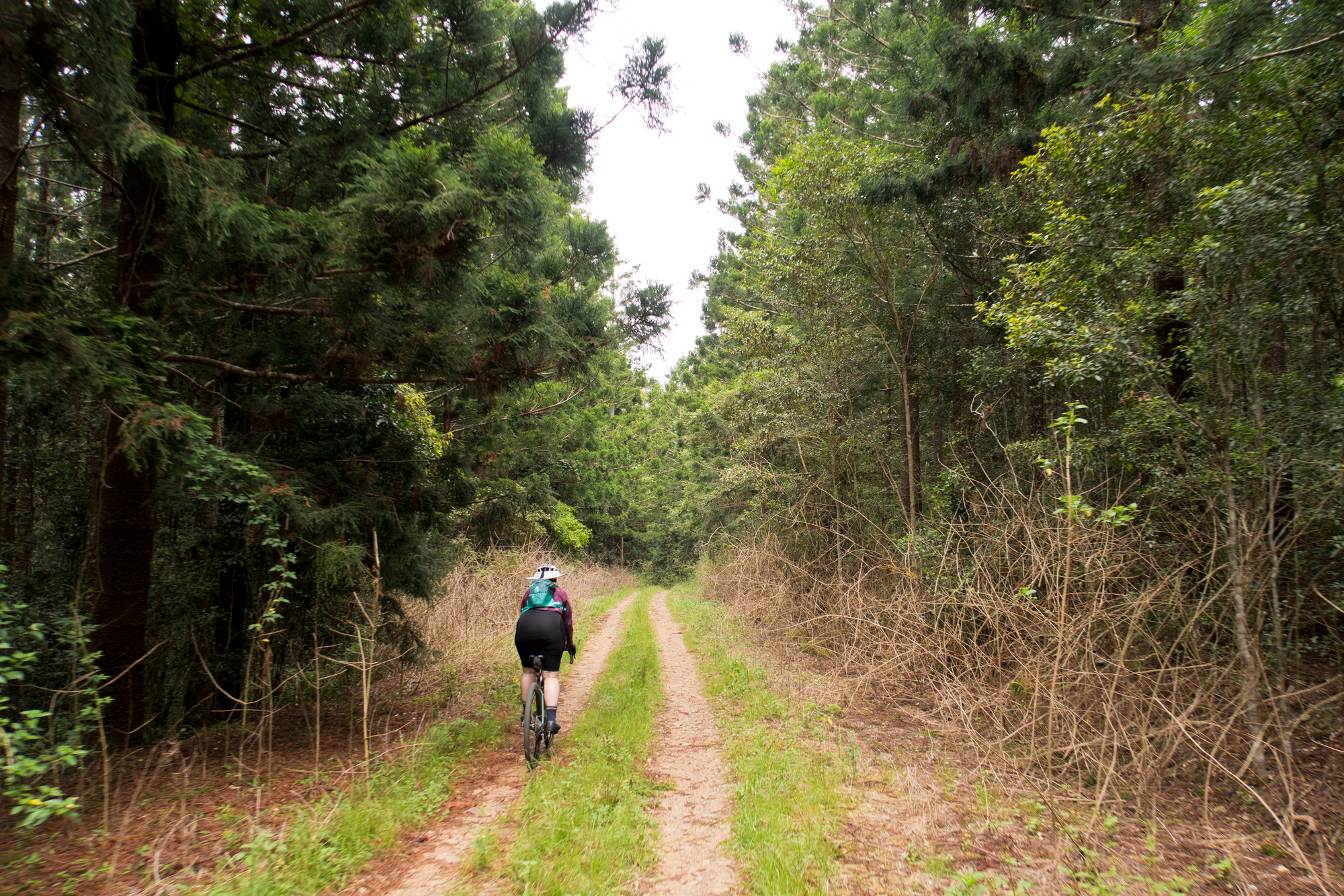
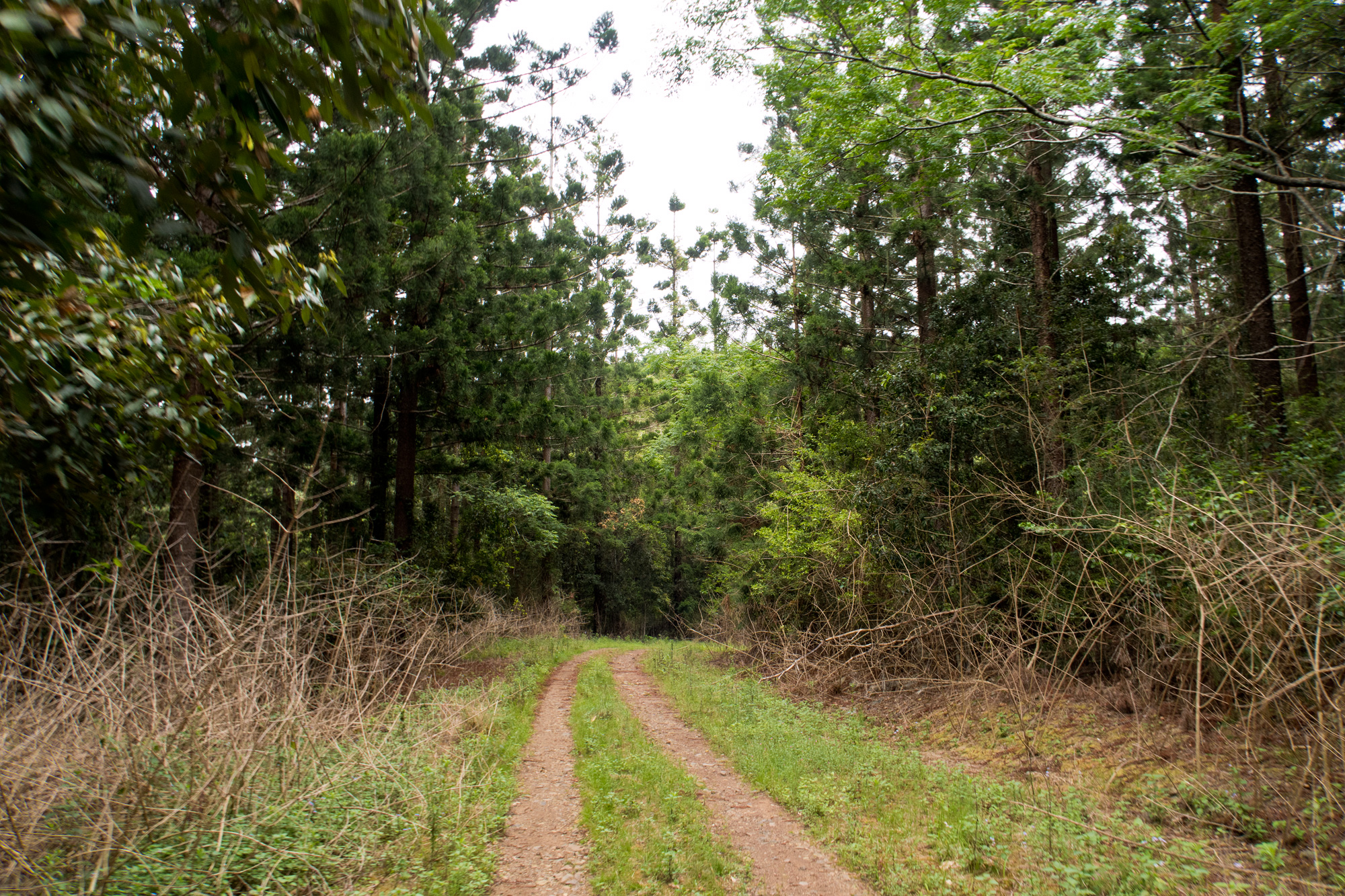
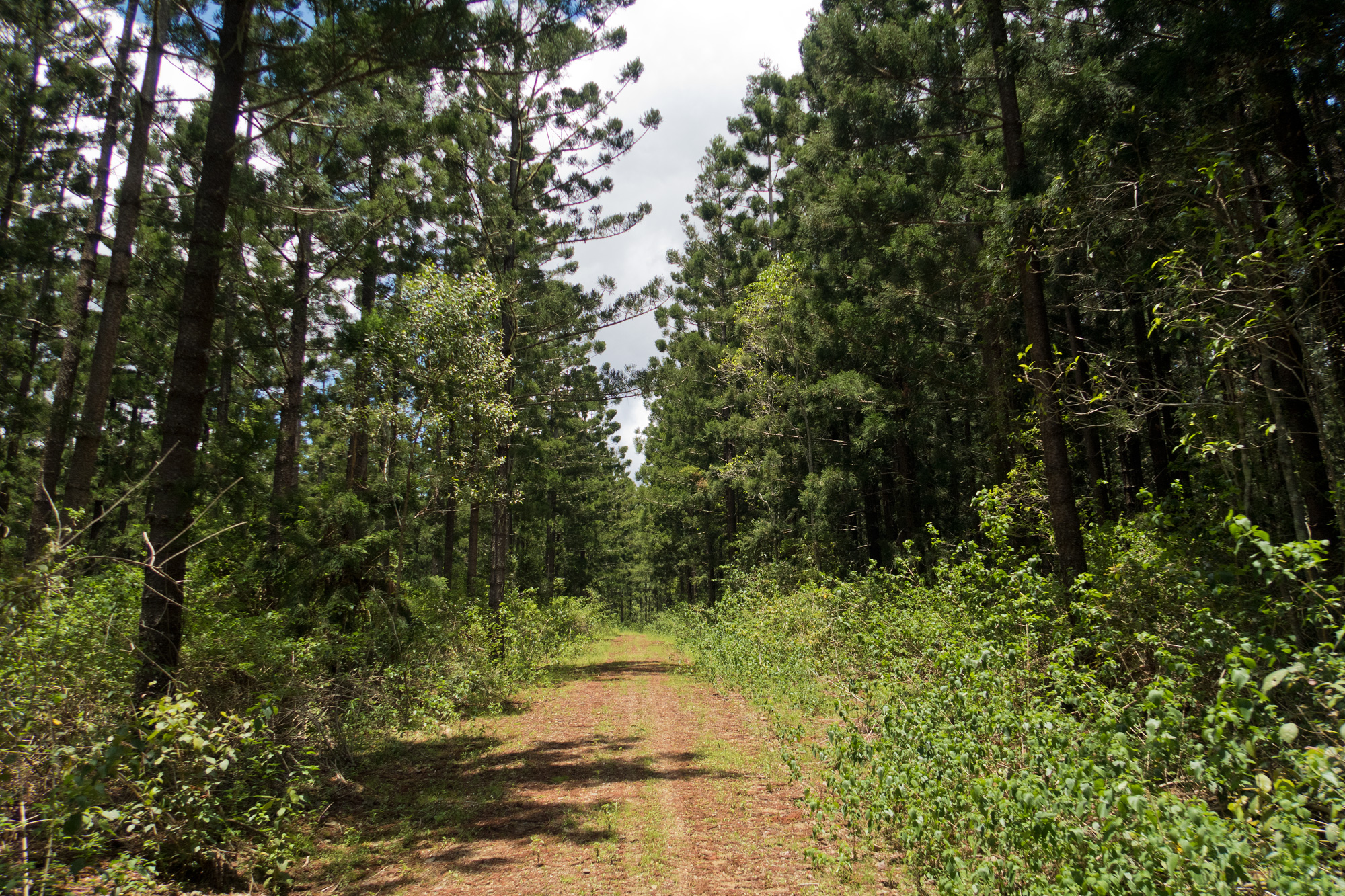
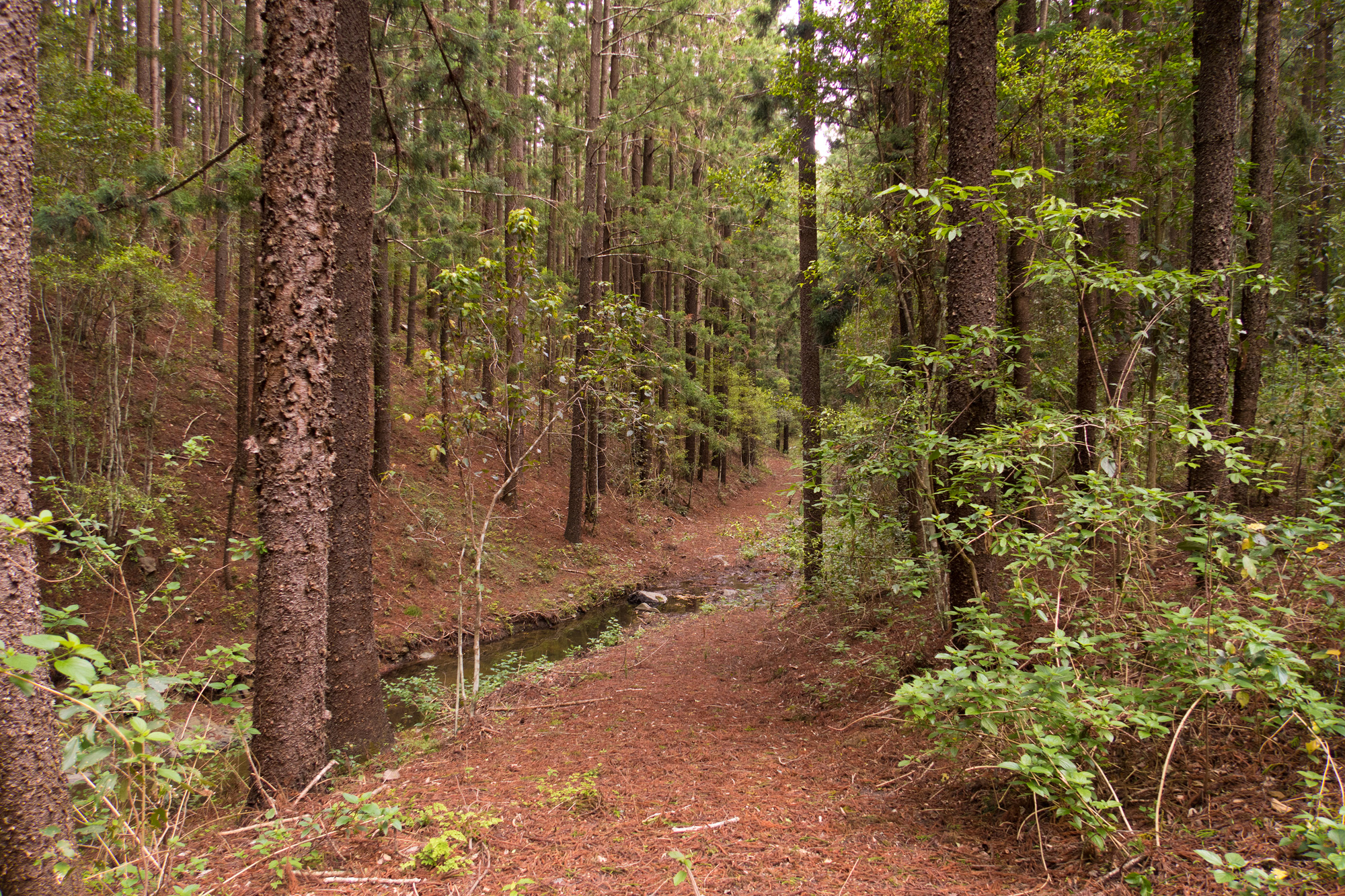 Creek crossings and pine needle tracks
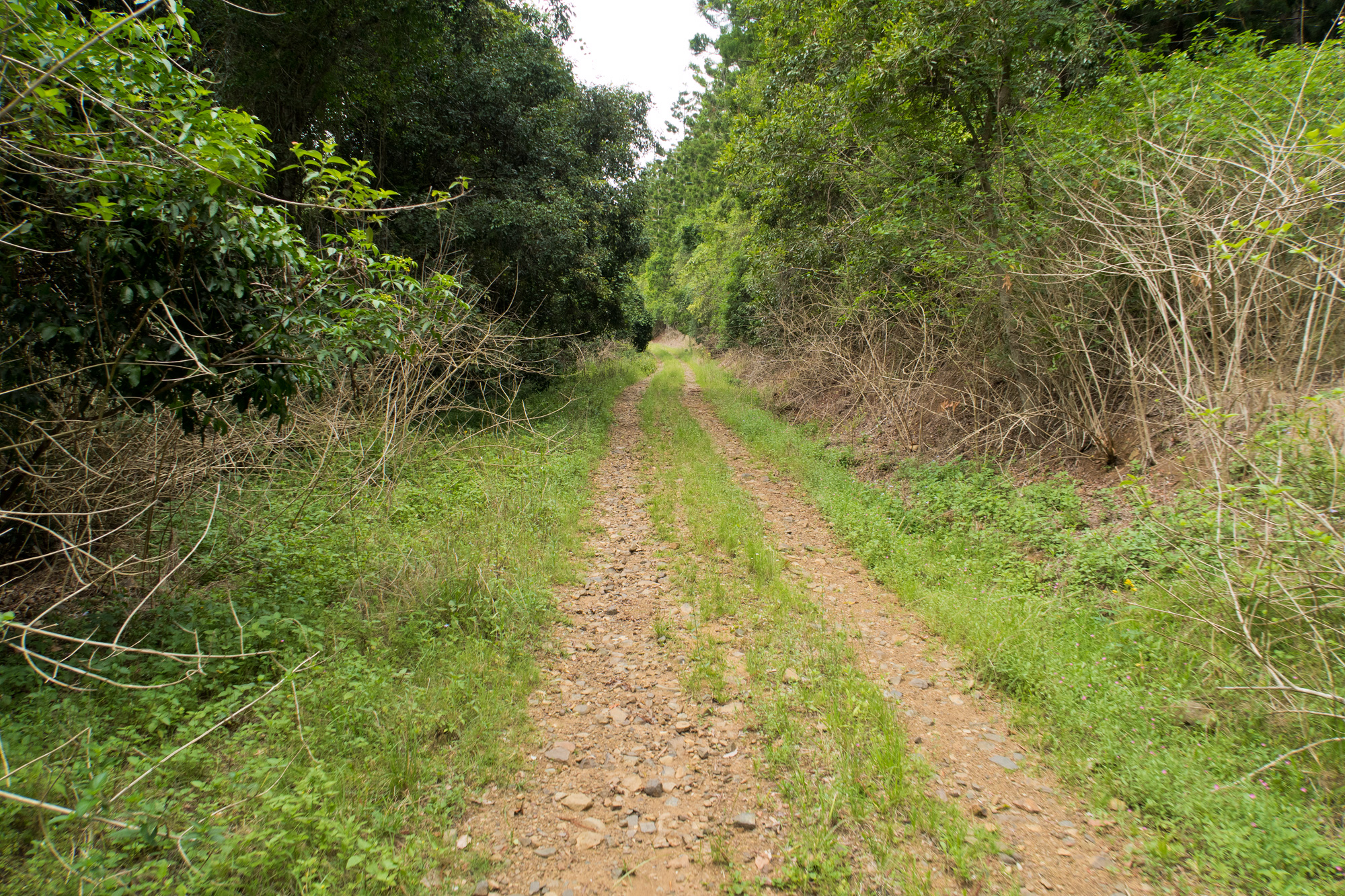
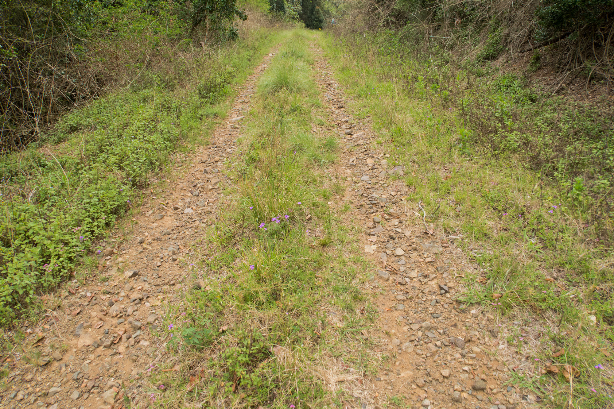
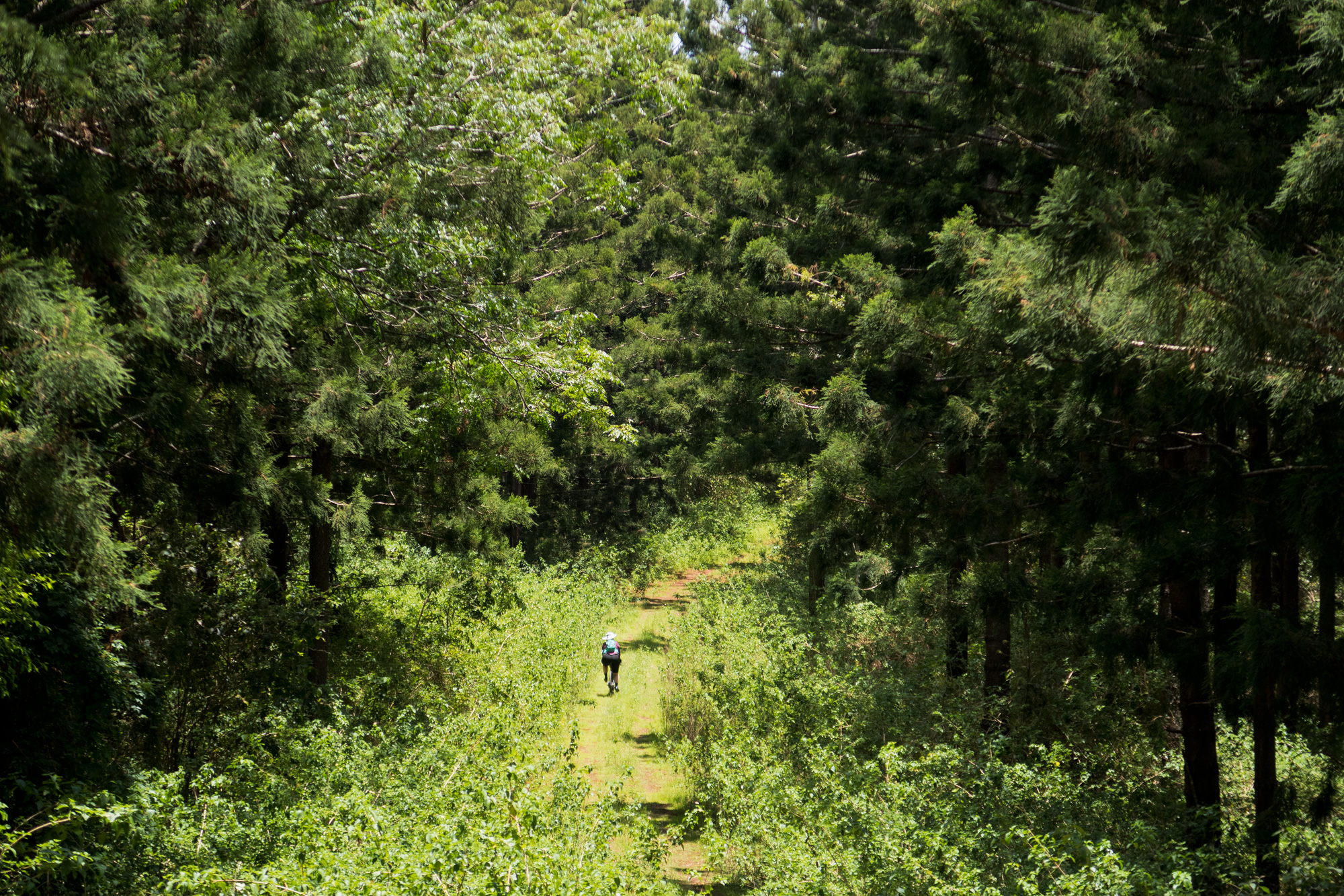
 Switch back tracks.
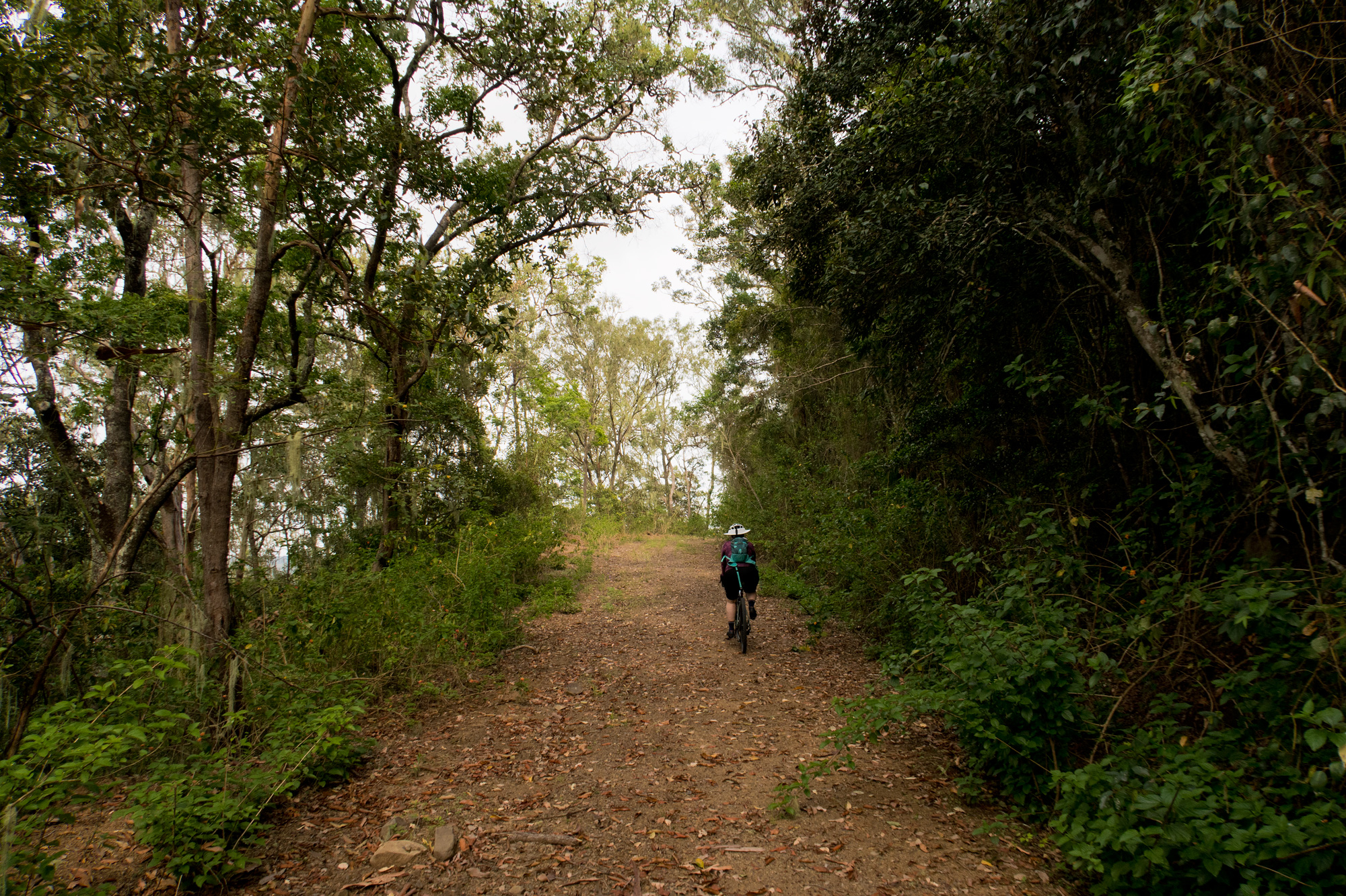
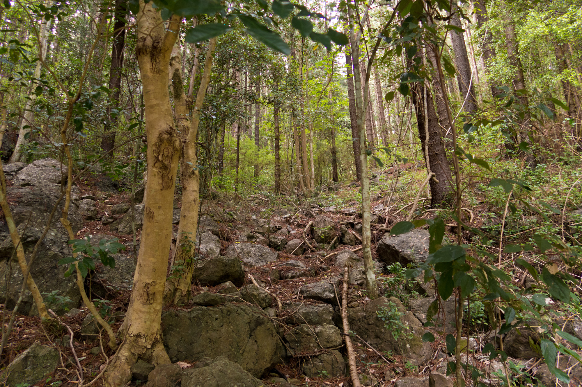
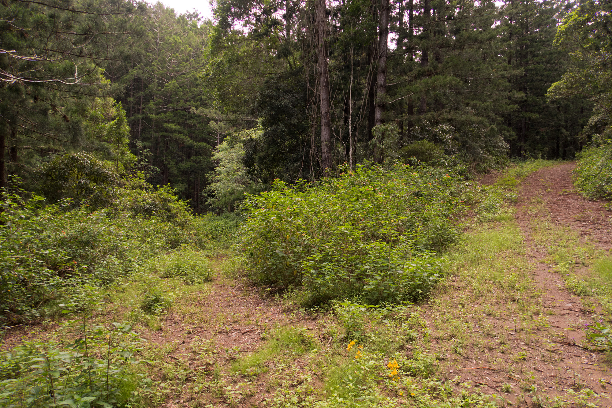
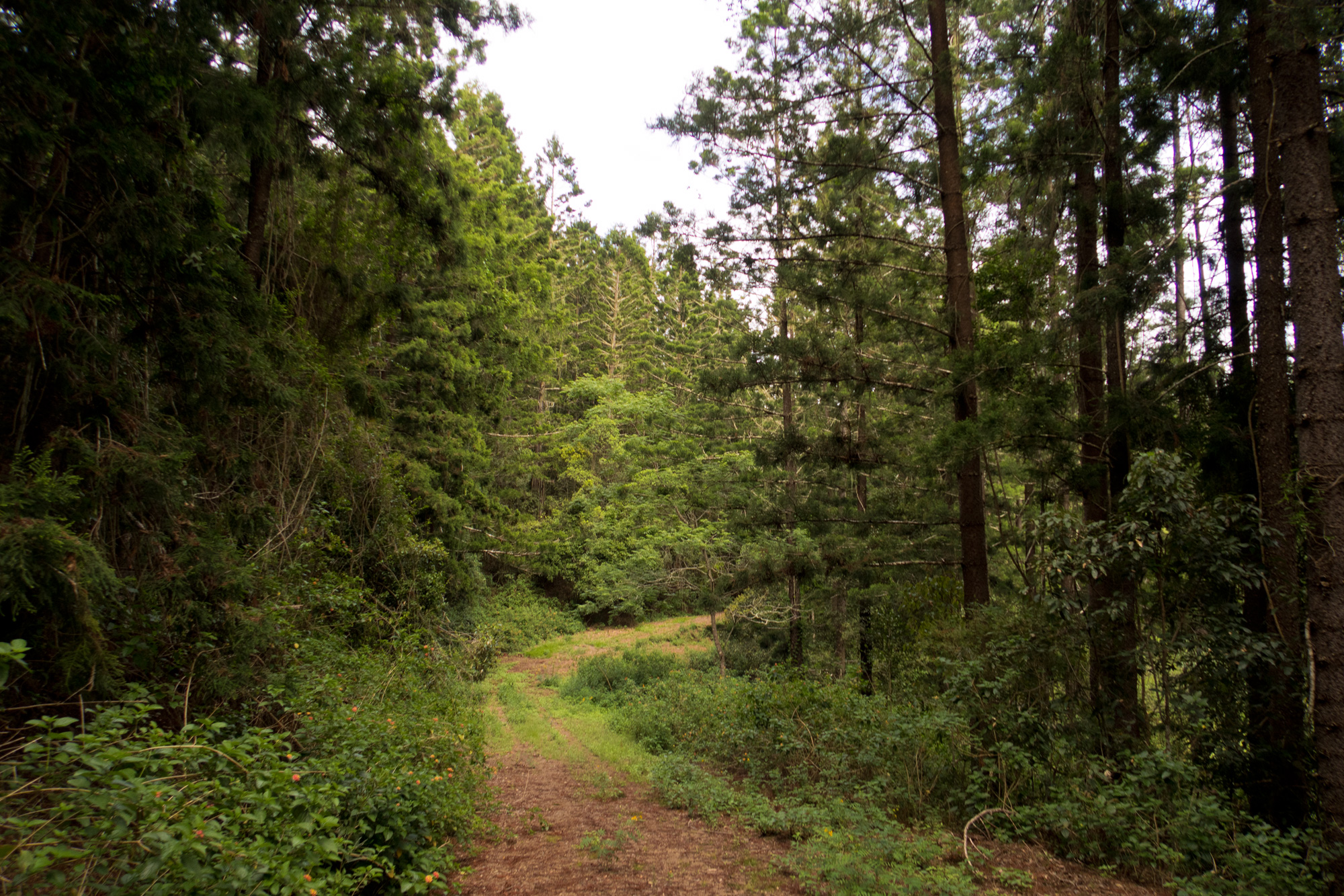
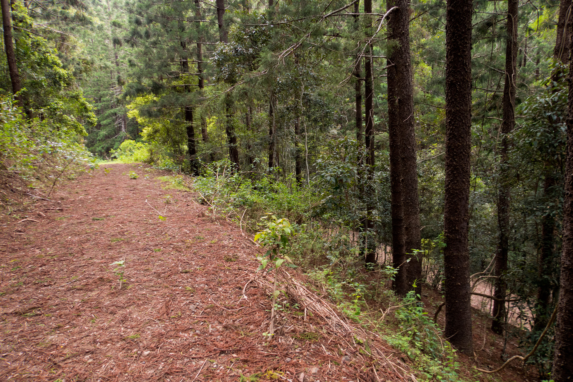
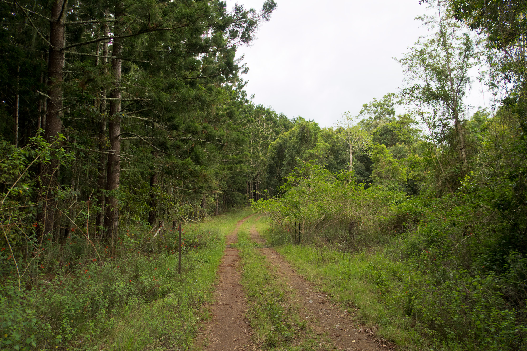
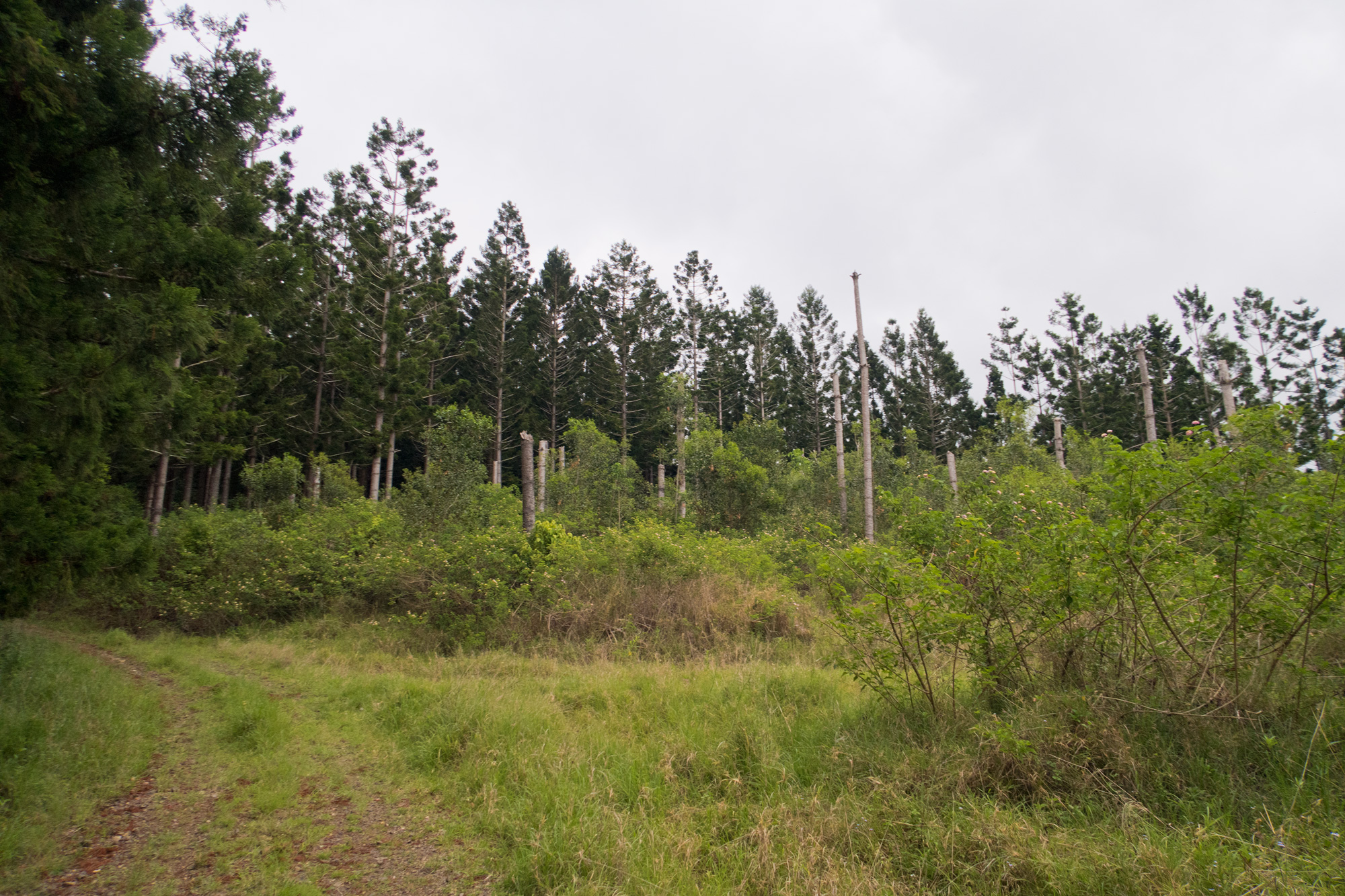
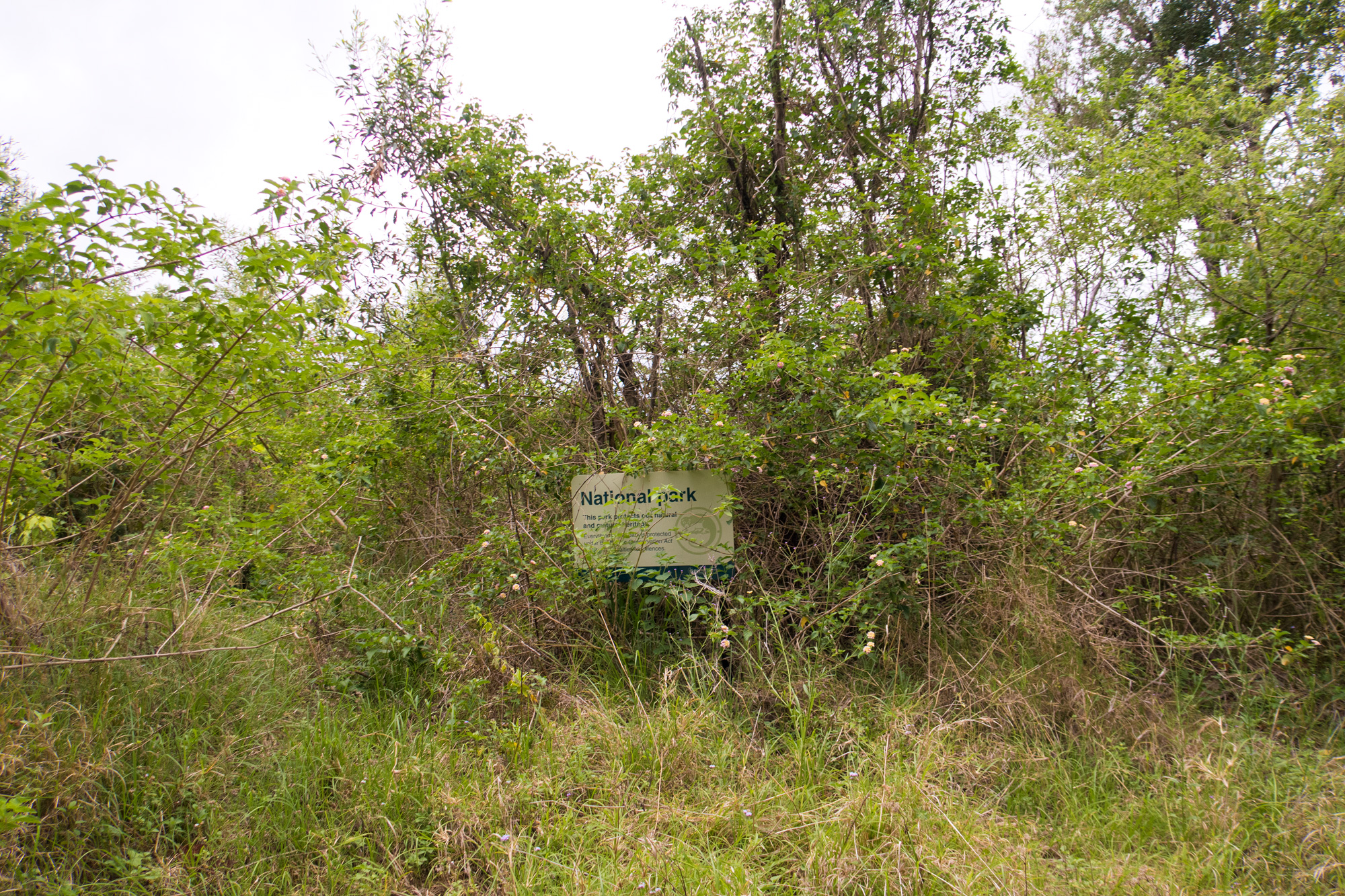
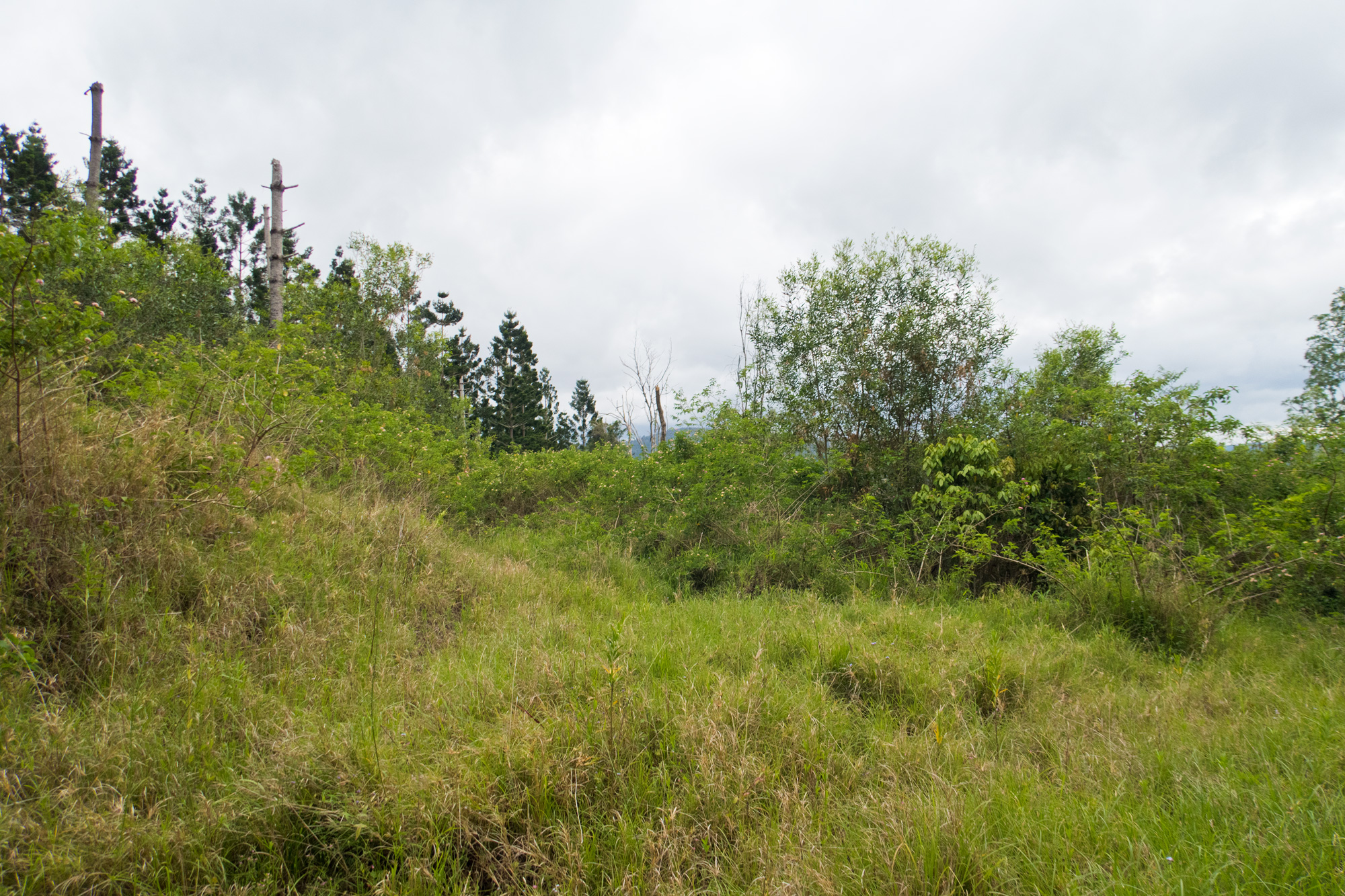
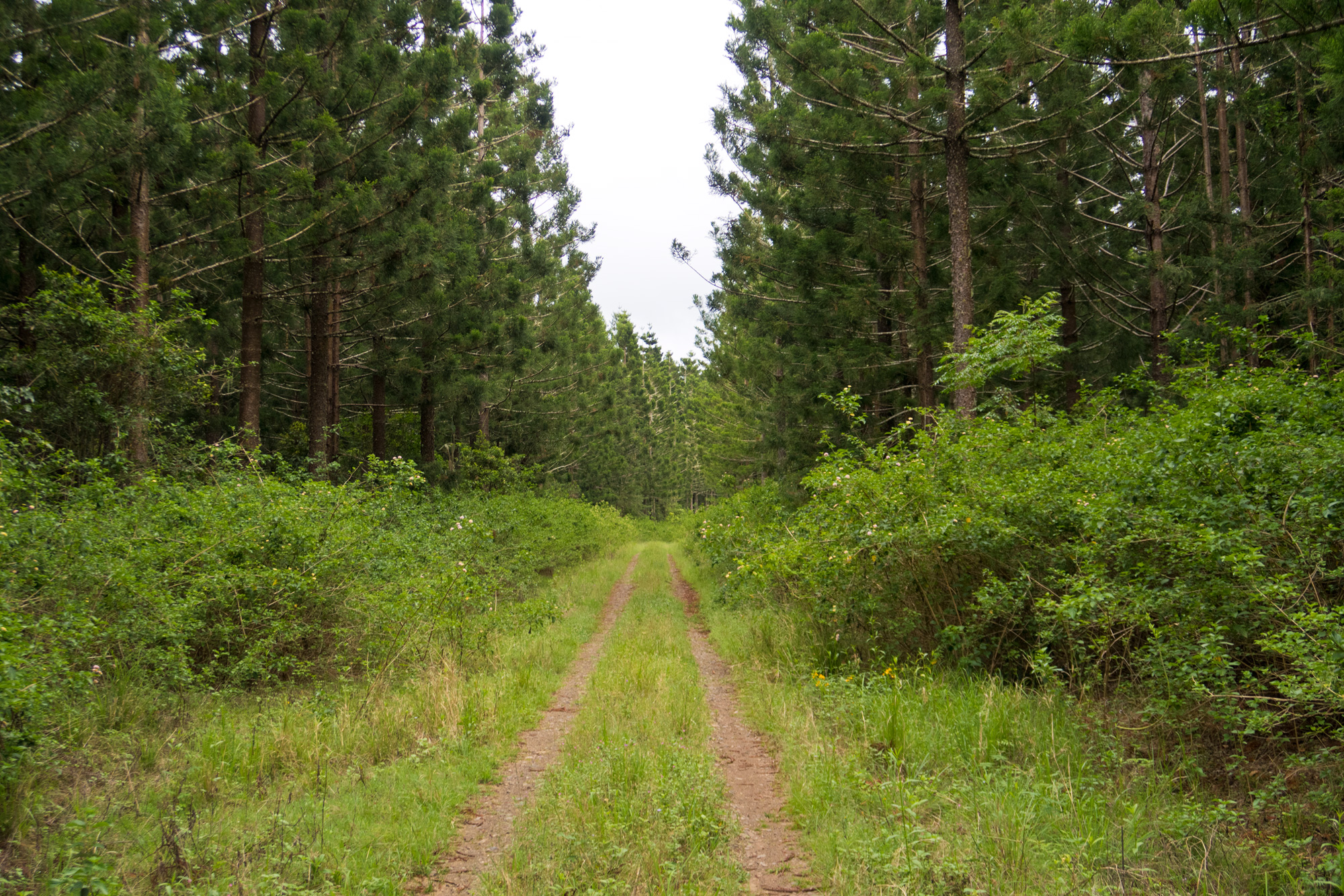
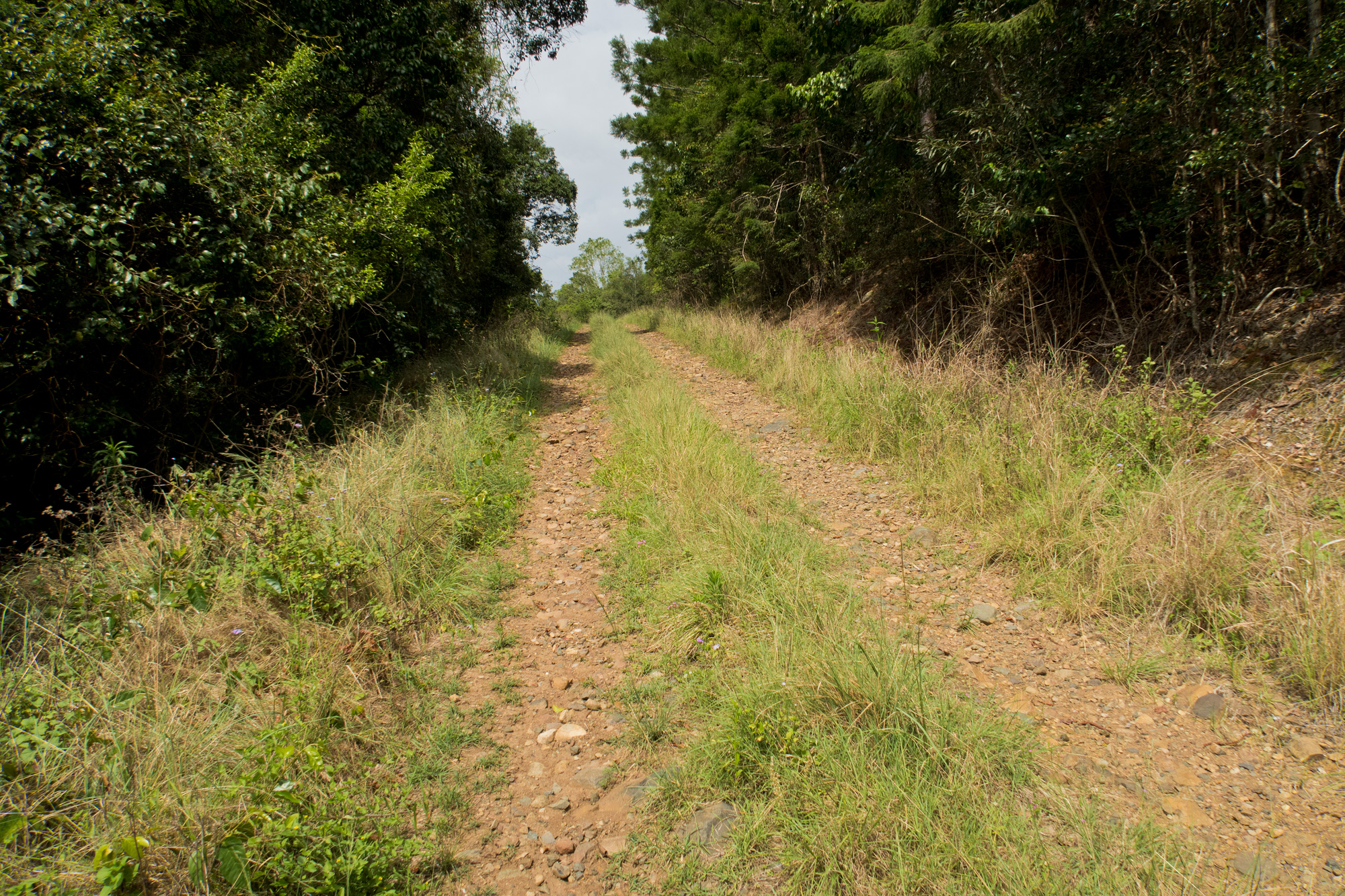
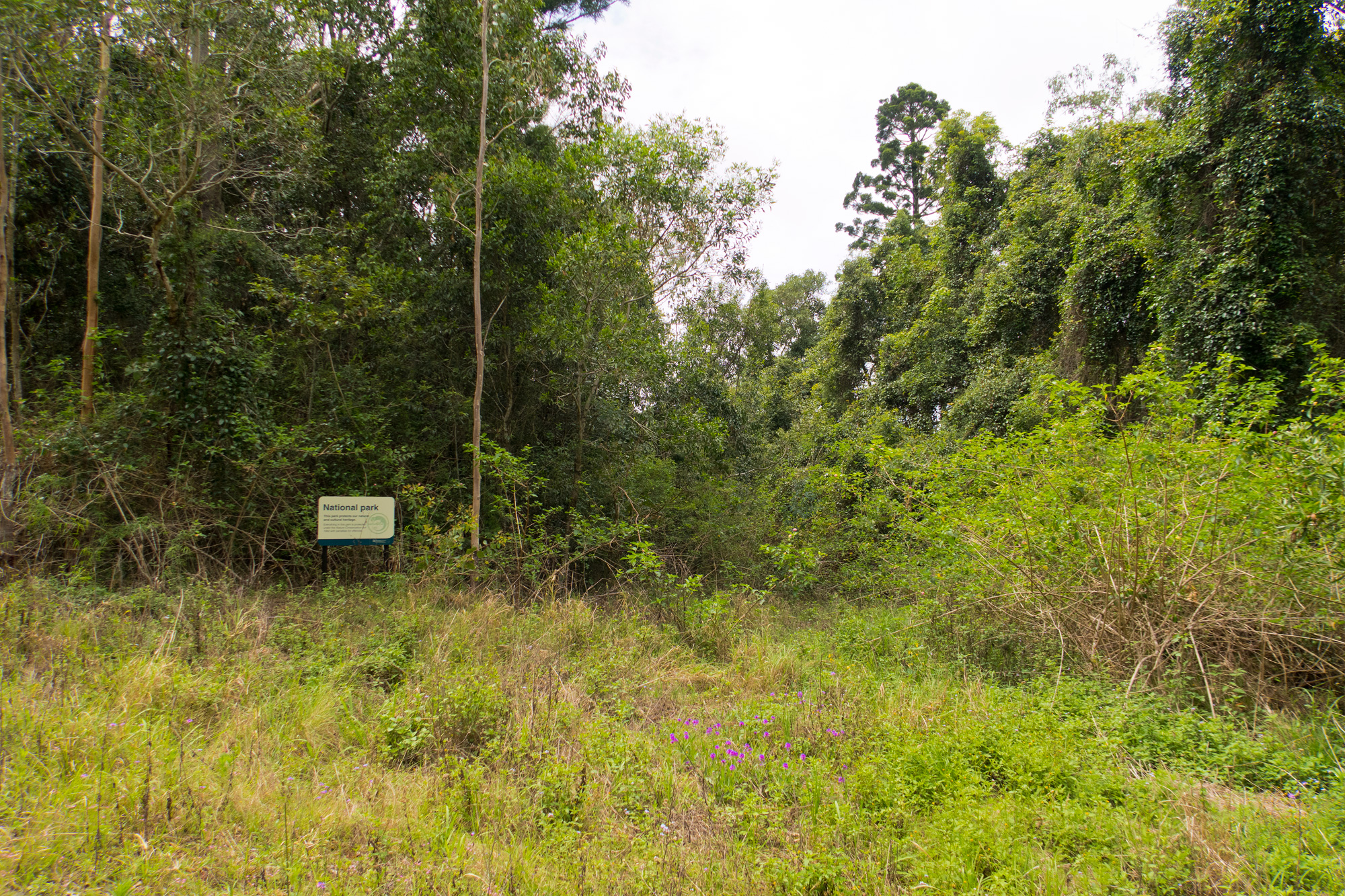
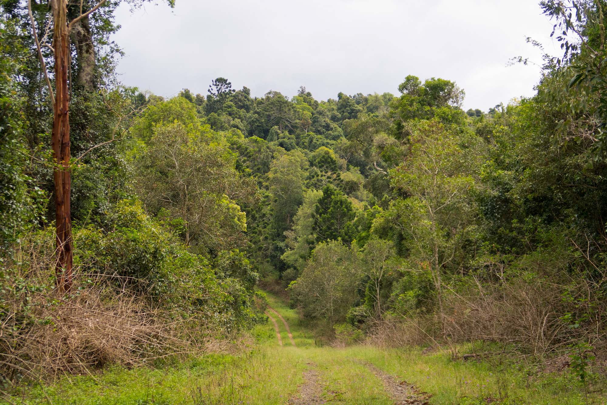
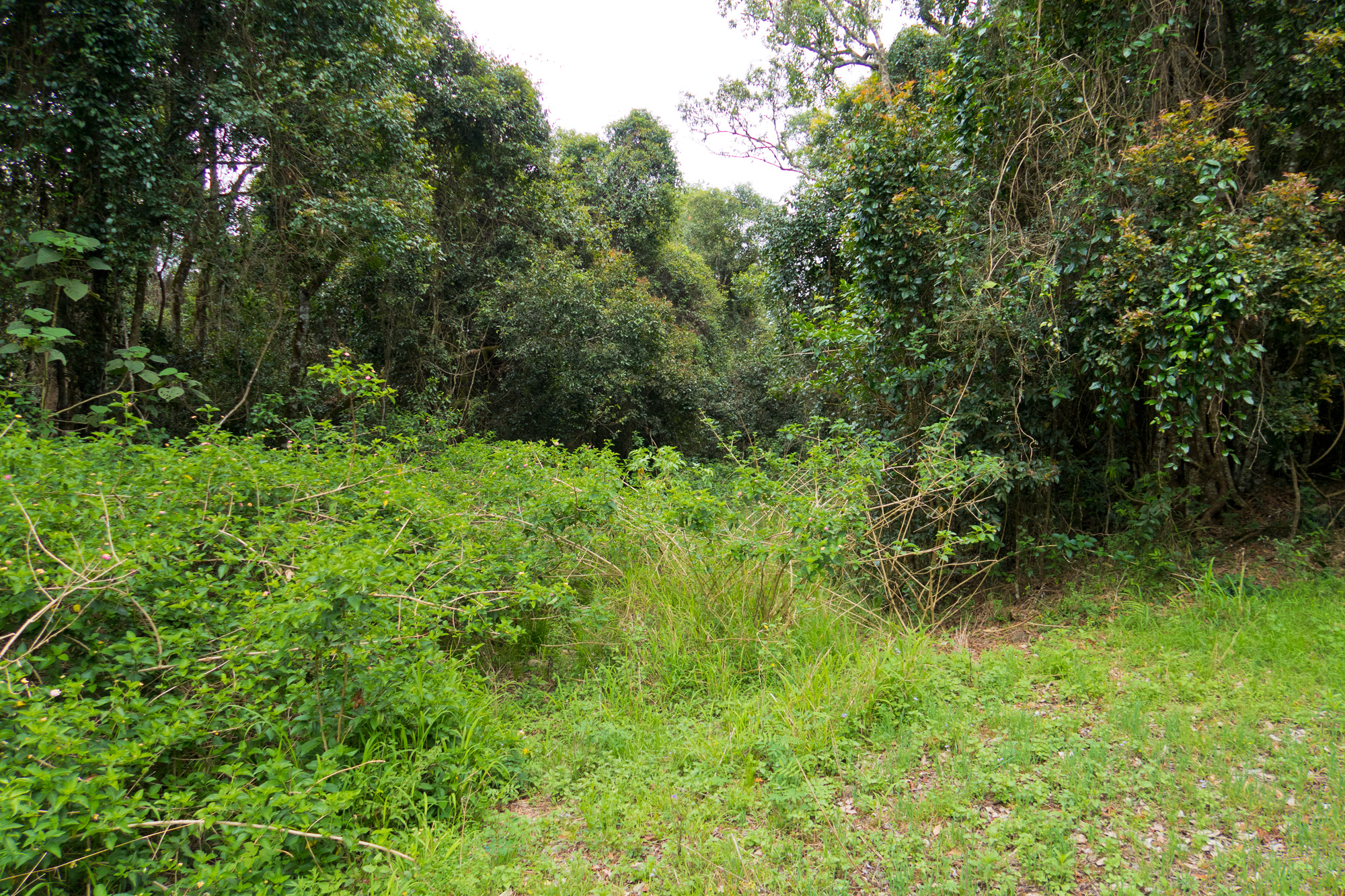
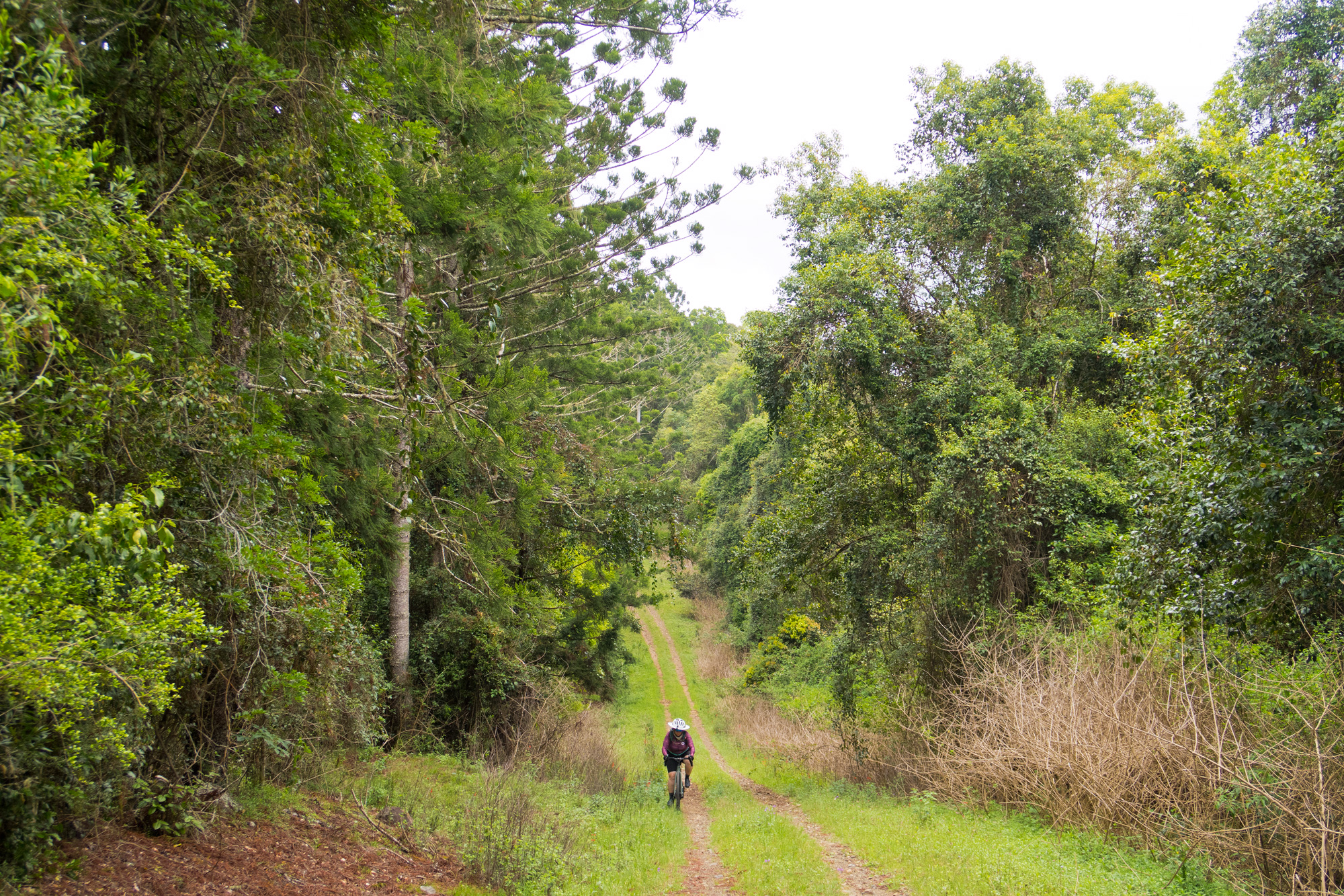
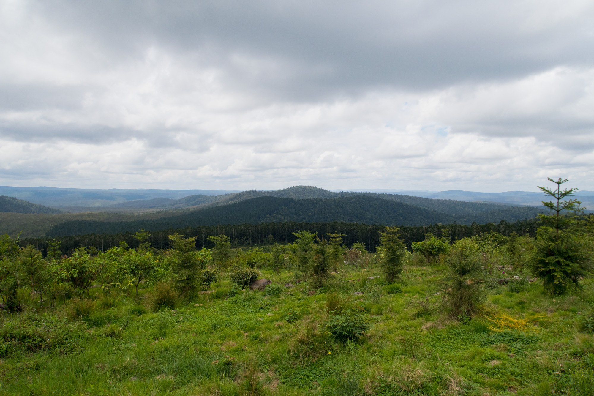
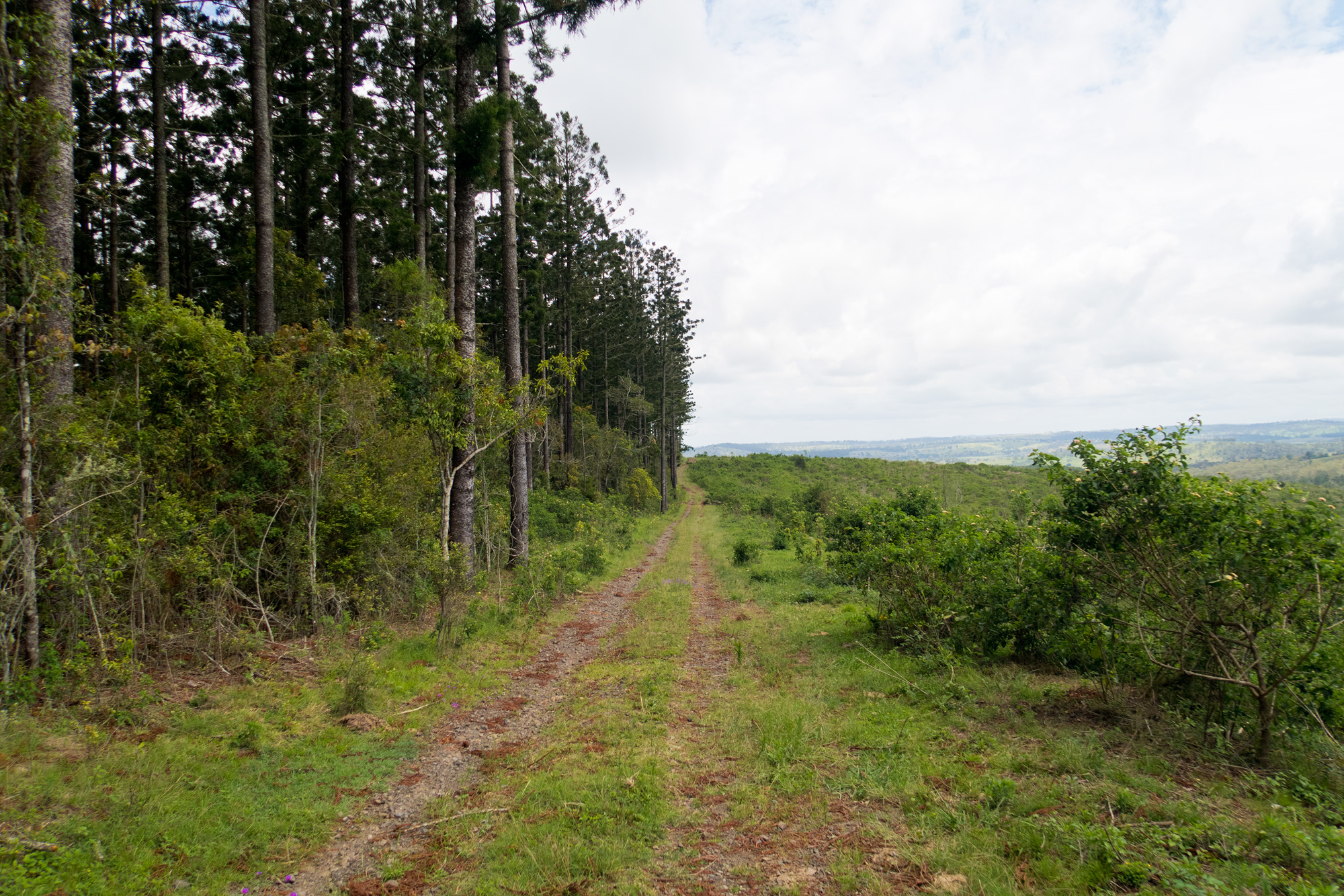
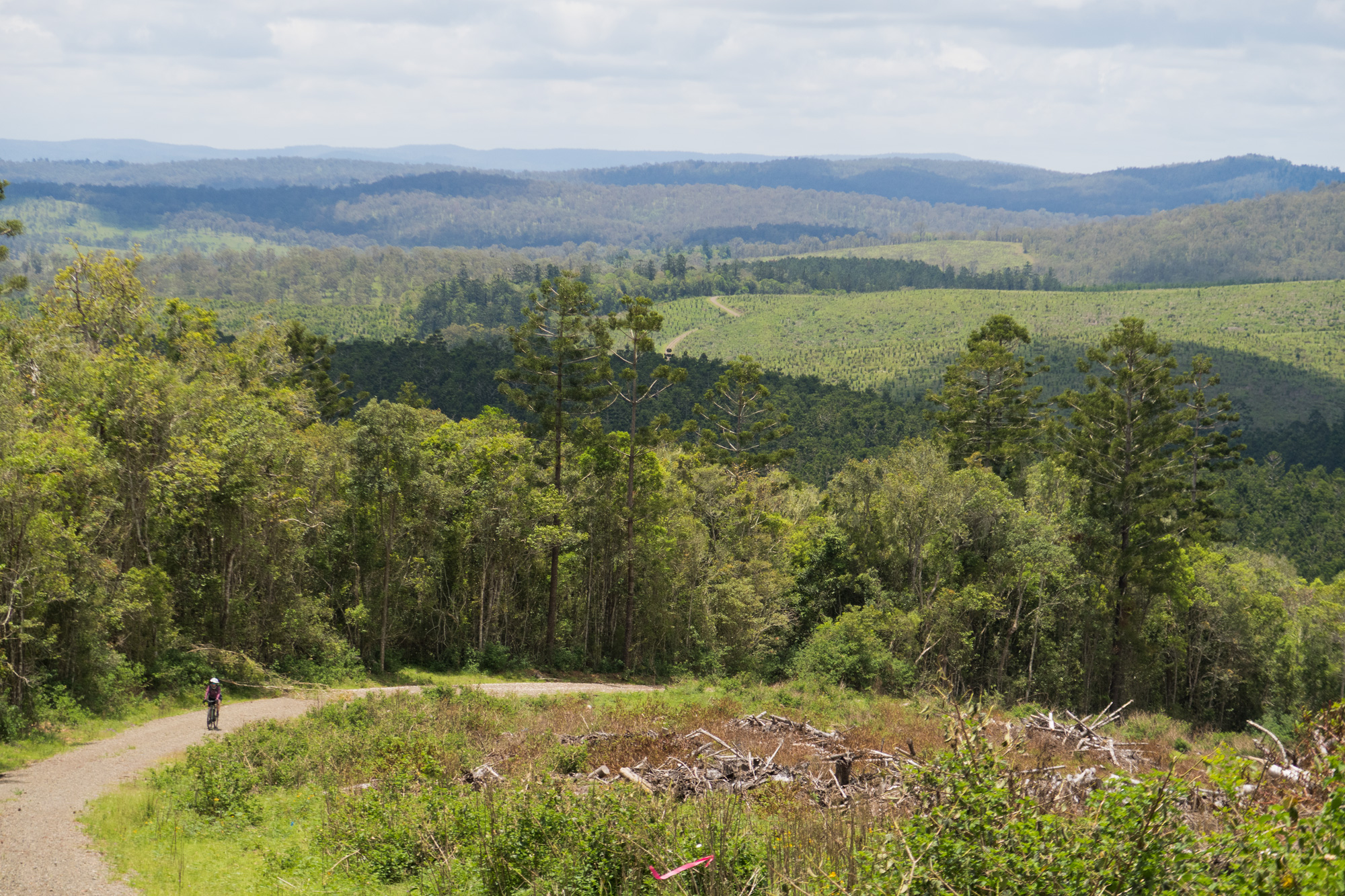
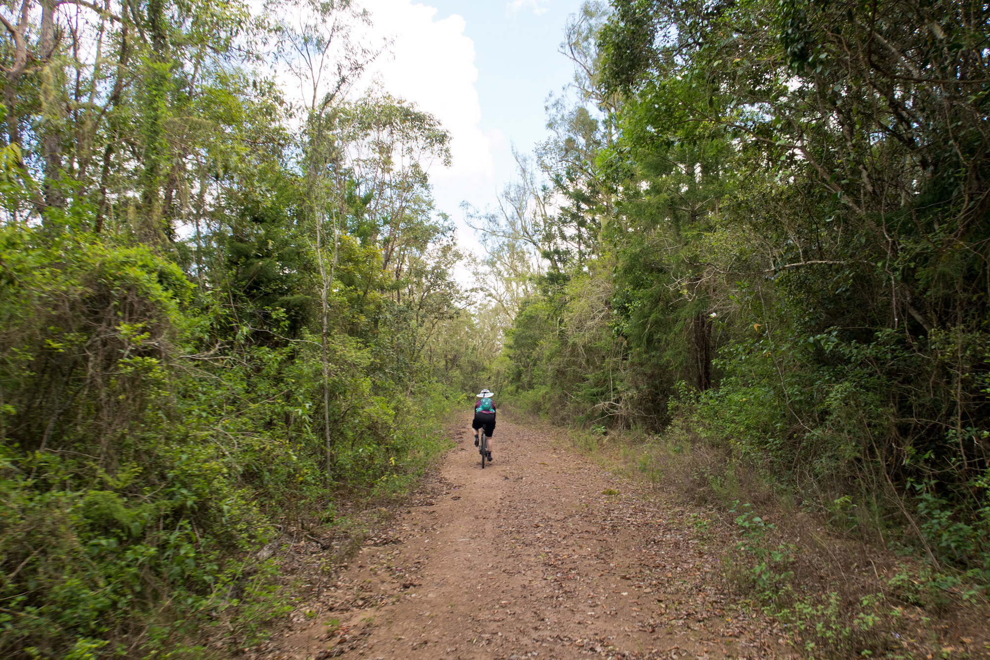
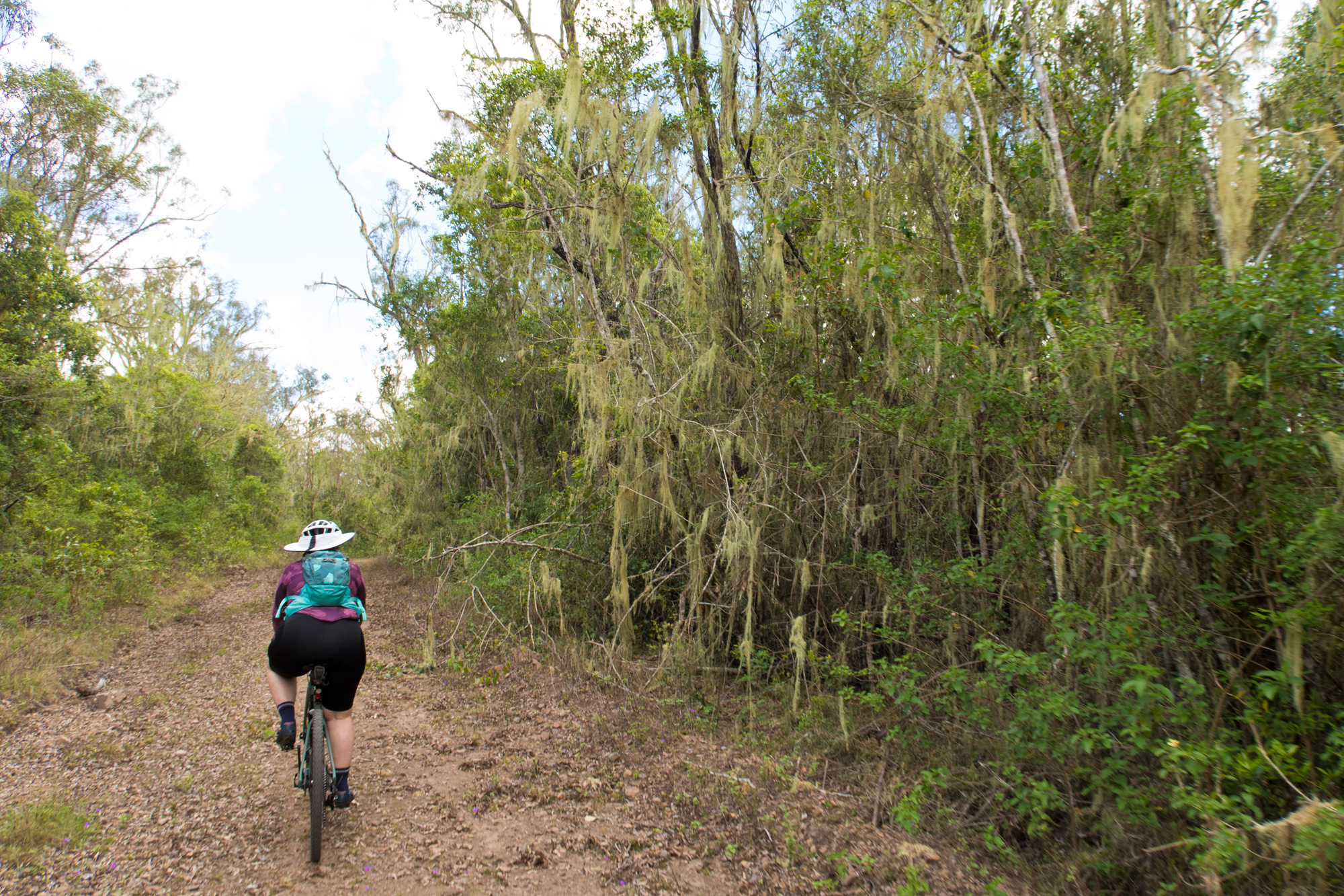
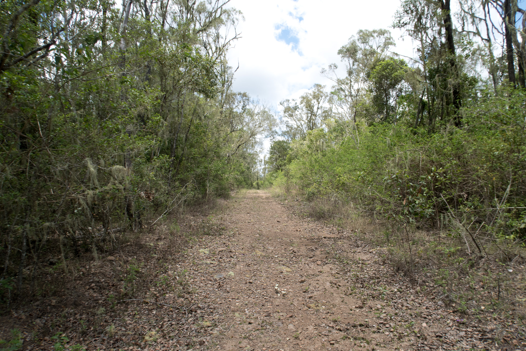
This particular pine forest had quite a lot of different tracks some of which weren’t on maps so we would definitely would consider come back out here and do some more exploring. Inside the forest there was minimal build up of debris or growth on the tracks but the outer ring road to the north had quite a lot of flannel weed and weed build up. Some tracks looked heavily overgrown however this was minimal and mostly around the dam where there was a significant source of water. While still navigable on the bike without dismounting it’s questionable just how long this would be the case.

Mount Stanley State Forest (Pine Forest Section). The route we took is in purple.
So close to connecting back up with our intended route. While the track to the right was unpassable the route to the left was the best looking option even while overgrown with flannel weeds.
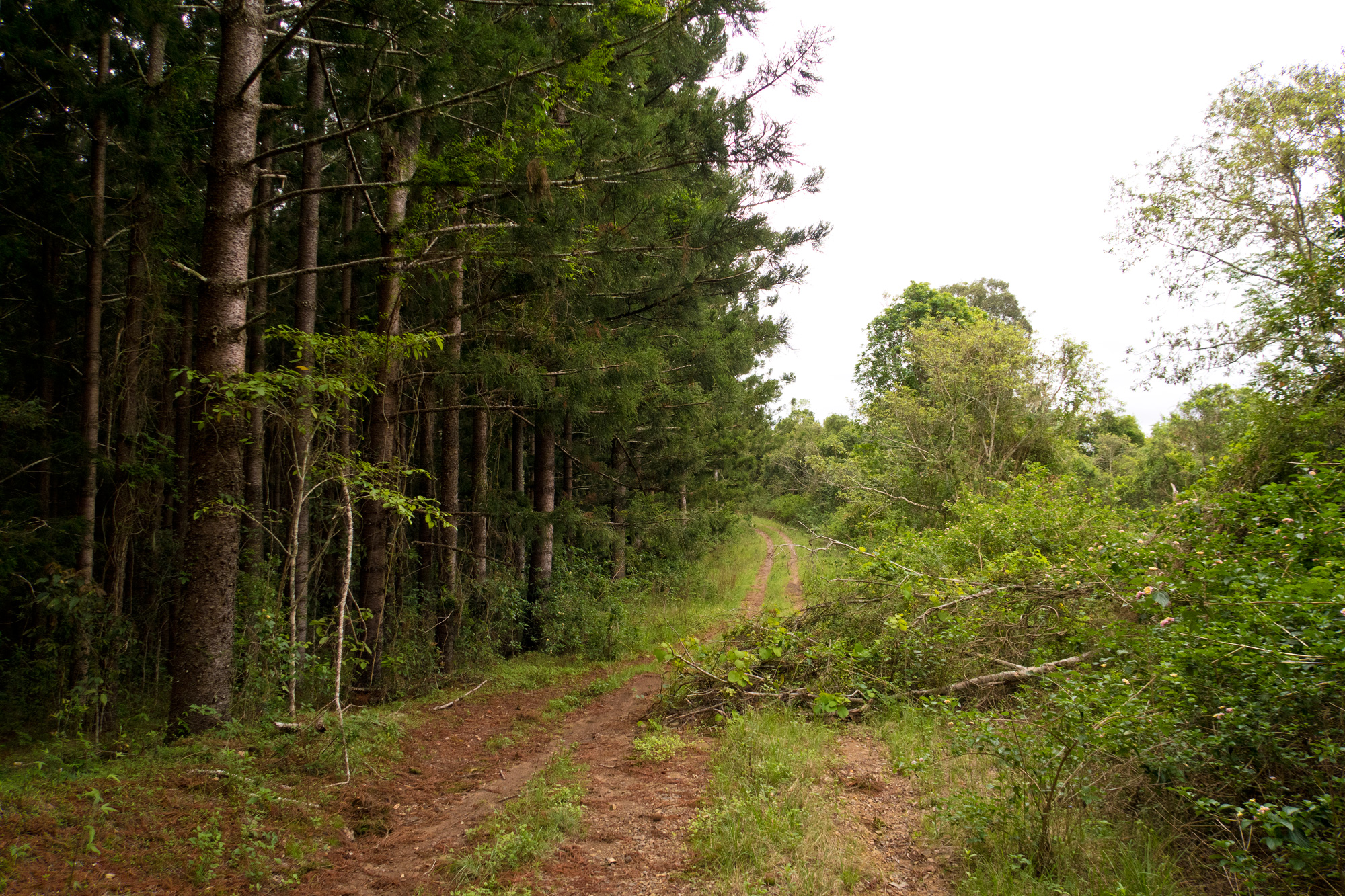
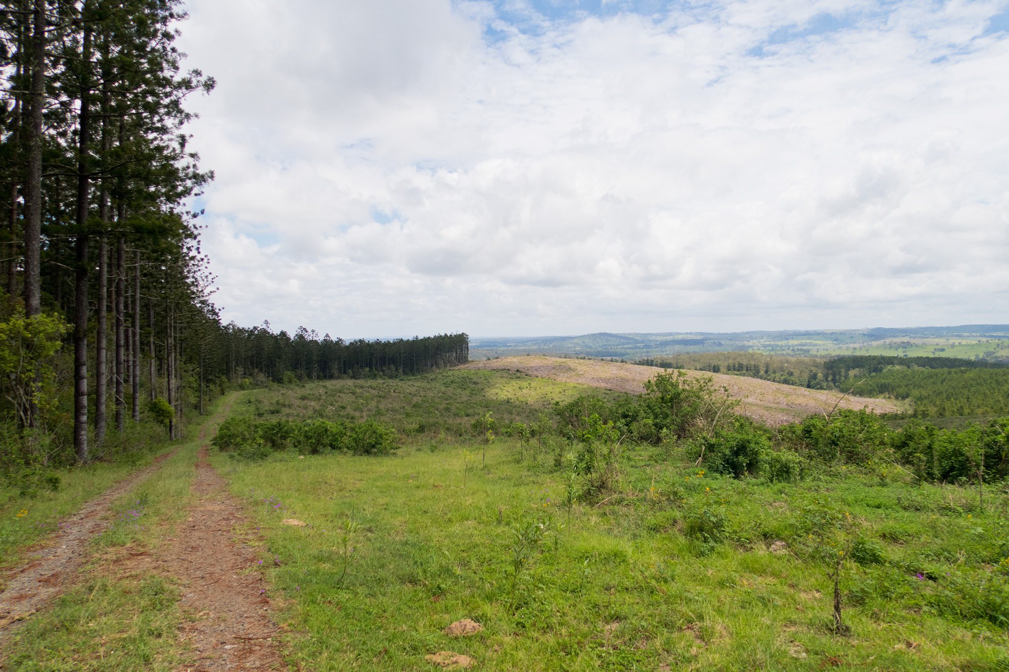
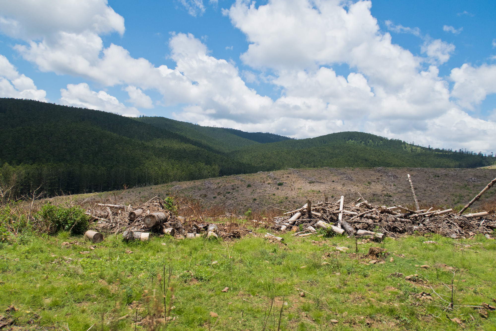
 Storm damage visible. There were various sections where the tops of the trees had all been removed.
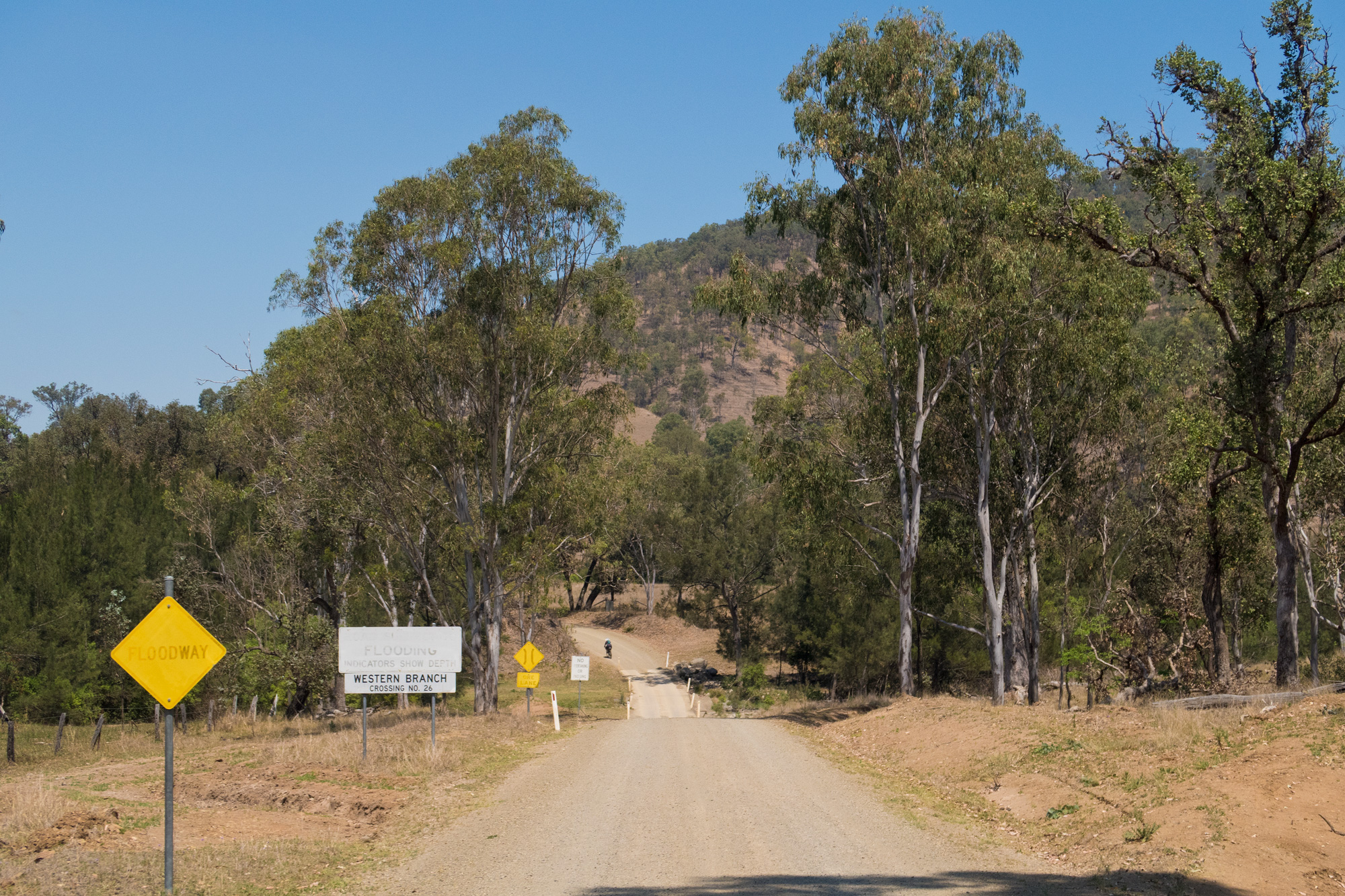
The last time we rode this section of road was 5 years earlier when we first checked out the Elgin Vale and Mount Stanley state forests. A number of the “We’ll check out this track next time” were completely overgrown with lantana and weeds which wasn’t surprising giving the time frame. With work, injuries to both of us, overseas holidays and inconsistencies with other accommodation in the area it didn’t really allow us to come back and explore the area in greater detail. That was until Chevonne and John opened the Rail Trail Refuge at Linville which has allowed us to do previously planned rides such as Gympie/Kilkivan-Wulkuraka via Elgin Vale, Timm Creek Road, Rohlmans Road, Mount Stanley/Elgin Vale State Forests (this ride) and to check out further extensions and loops to other planned rides in the area such as our planned Mount Moore Explorer or Monslidale Creek-Elgin Vale-Western Branch Loop but heading into summer we think this has passed for 2025… well maybe except exploring more of the pine forest around Mount Stanley. While the rail trail is a nice 160km off road ride from Wulkuraka to Yarraman there are a number of places that are exposed and open that limit the time and when you can ride some sections. During summer a lot of it is unrideable after early morning. But along it are areas that feed directly off the rail trail that has some incredible scenery and riding characteristics that you don’t get anywhere close to on the rail trail such as at Yarraman, Benarkin/Blackbutt and at Linville. The state forests and pine tree plantations are actually areas that can be ridden through during summer. For example while Brisbane and the surrounding area around Linville/Kilcoy were having heatwave conditions we were riding around the Jimna State forest in the pine tree plantations where it was only 30-32 degrees however when we popped back out onto the gravel Monslidale Road temperatures quickly hit 43 degrees. Traffic on the gravel roads has never been a problem along most of our explorer rides. In fact you’ll be lucky to get phone reception let alone see vehicles on properties or vehicles on the road out this way. On this ride we only came across 3 cars and all of them were on the Western Branch road – two of which were travelling together. One of our last explorer rides out this way we didn’t see any motor vehicles from the time when we left Linville until we returned to Linville some 9-10 hours later.
In 2020 we came out of the track on the right. In 2025 it was completely overgrown and not navigable without some machinery. We checked out where we rejoined and other possible tracks but they too were also overgrown with lantana and weeds. That pretty much all but rules out any connection to the top where it changes to Elgin Vale State Forest via Eastern Branch road/Wombi Creek with the only link now via Wombi Creek Road (Western Eastern Branch link).
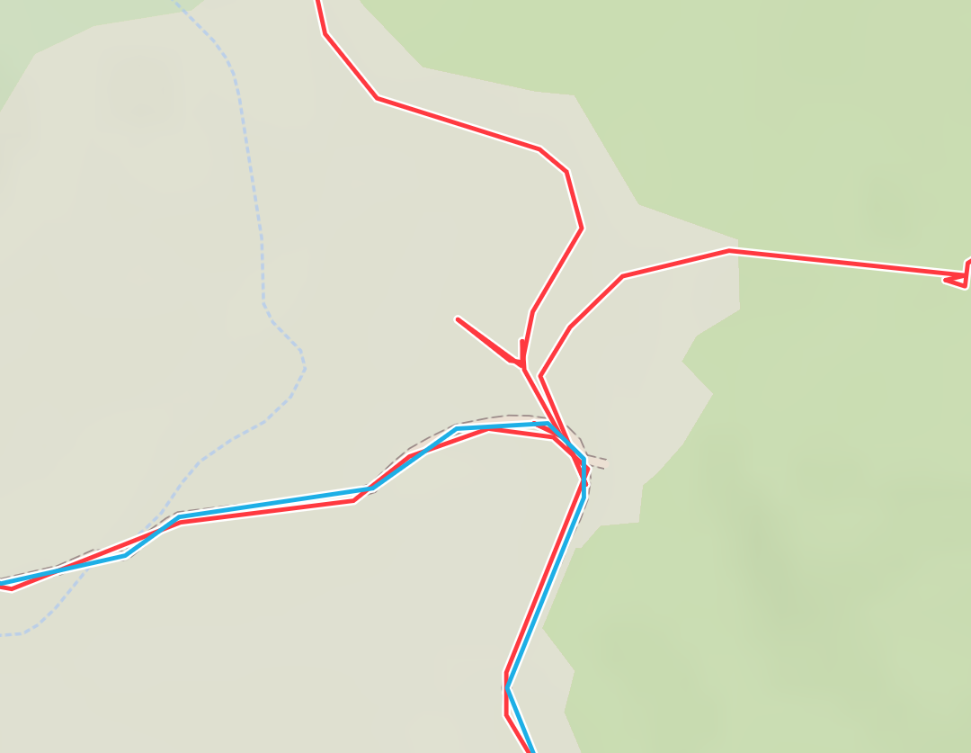
Red was our 2020 route in the area while the blue was our 2025 route.
November 2020 on the left vs November 2025 on the right.
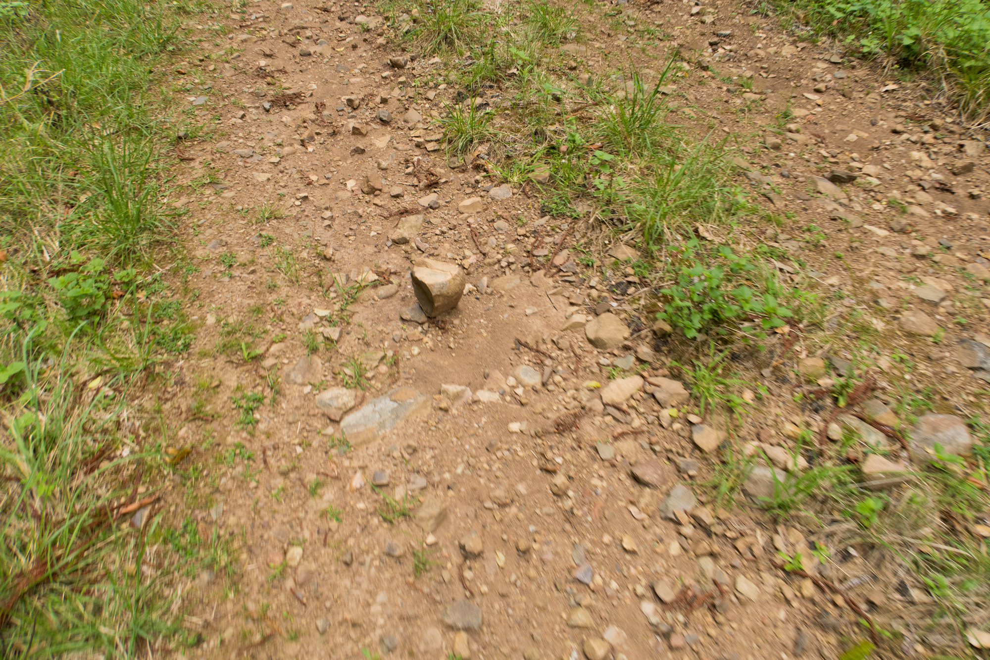
 The surface made for a bumpy ride compared to last time.
At this point now Bronwyn wasn’t enjoying the outlook of having to ride back along this same energy sucking hard but large loose rock trail so we made the decision to keep an eye out and try and make our way to the Western Branch Road without having to ride all the way via Elgin Vale. But as we continued north track after track that headed west was overgrown with lantana and weeds. So it was starting to look like we’d do a few loops around to the north and then head to Elgin Vale and come back via Manumbar Road/Western Branch Road.
 The loose and rocky surface.
November 2020 on the left vs November 2025 on the right.
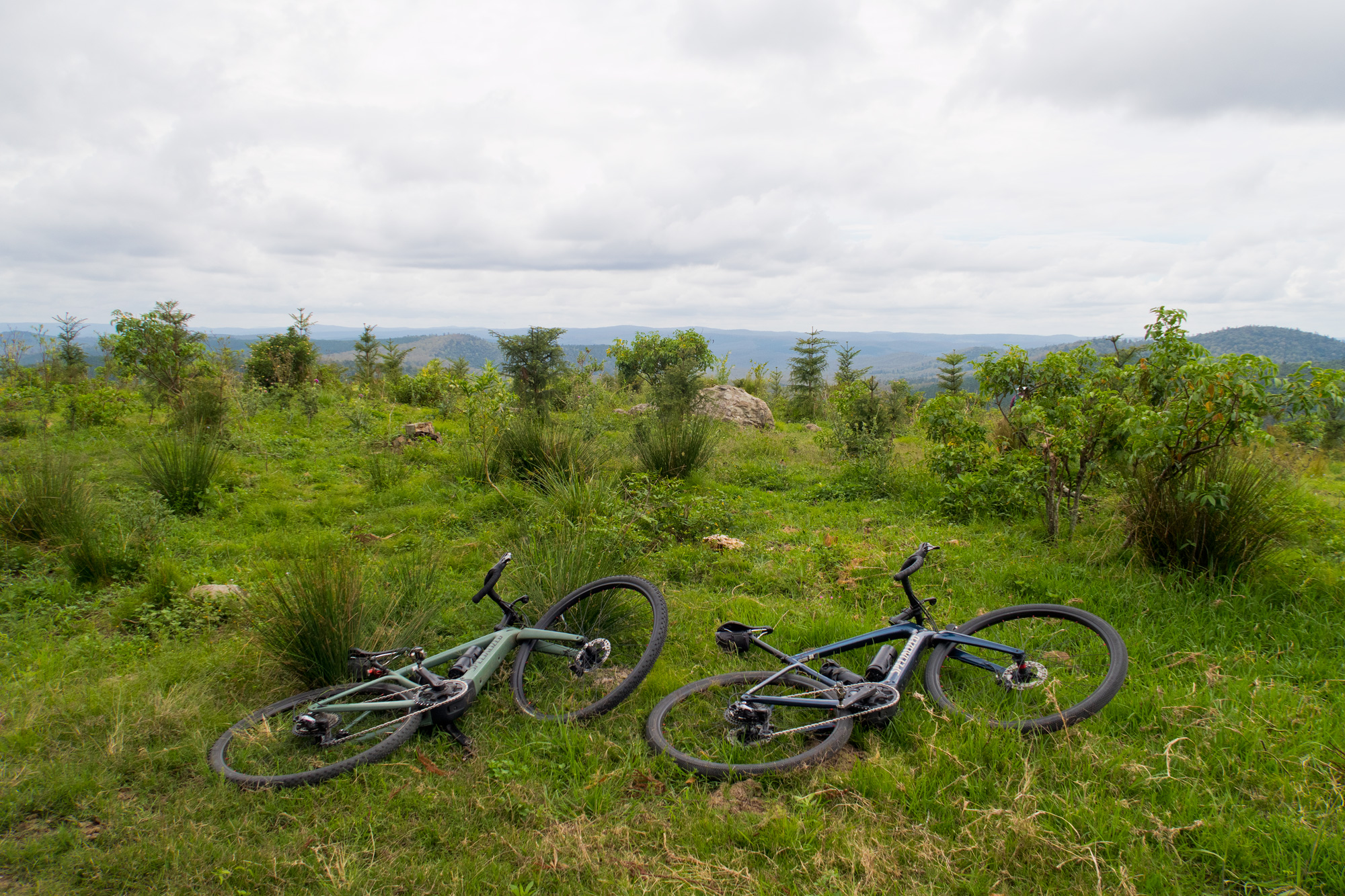
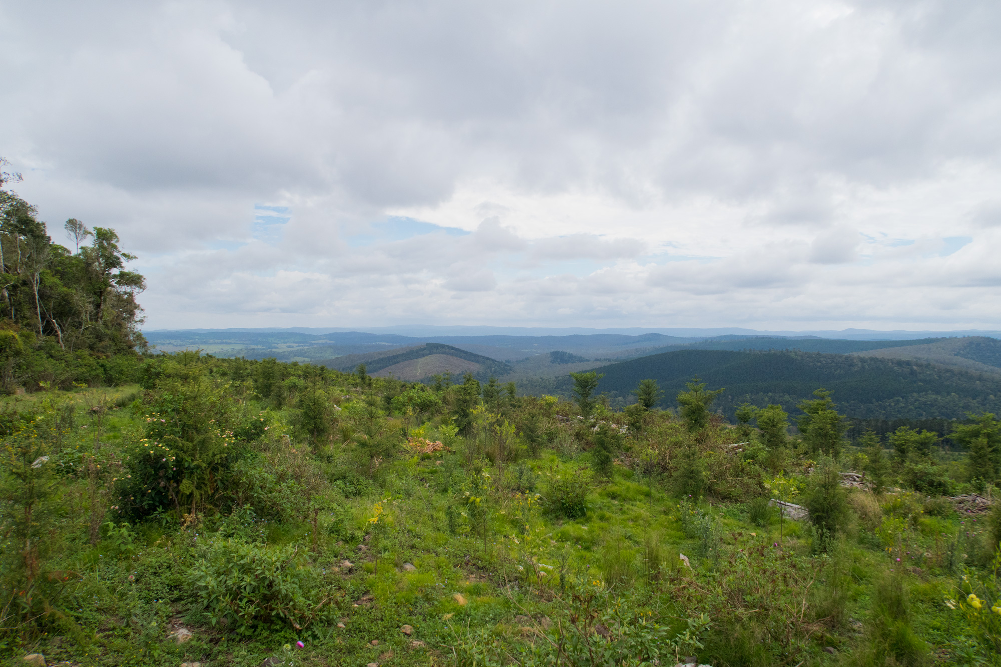
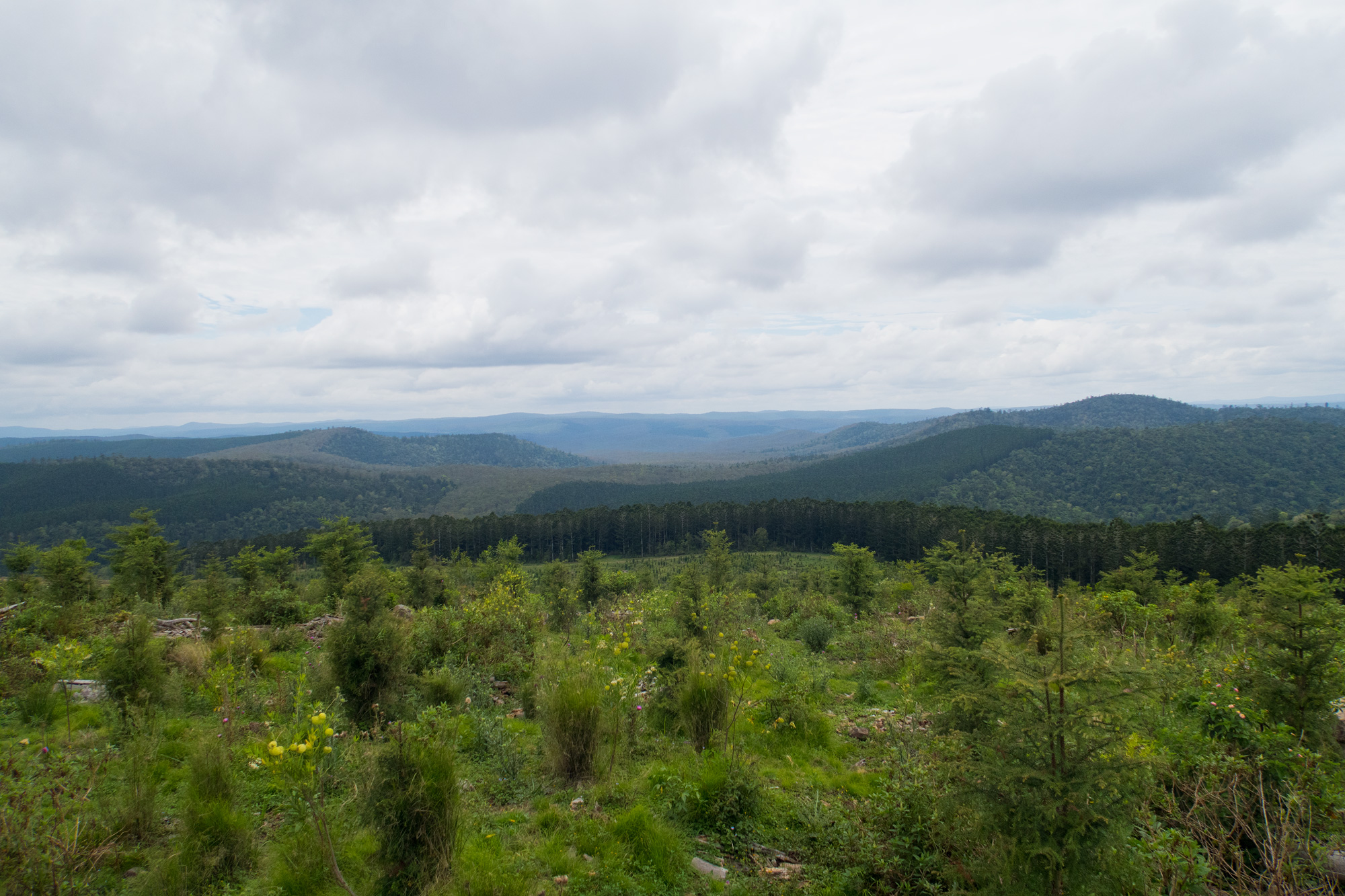
From the “lookout” which was just a large rock at the top.
 A couple motorbikes gathered halfway up the climb.
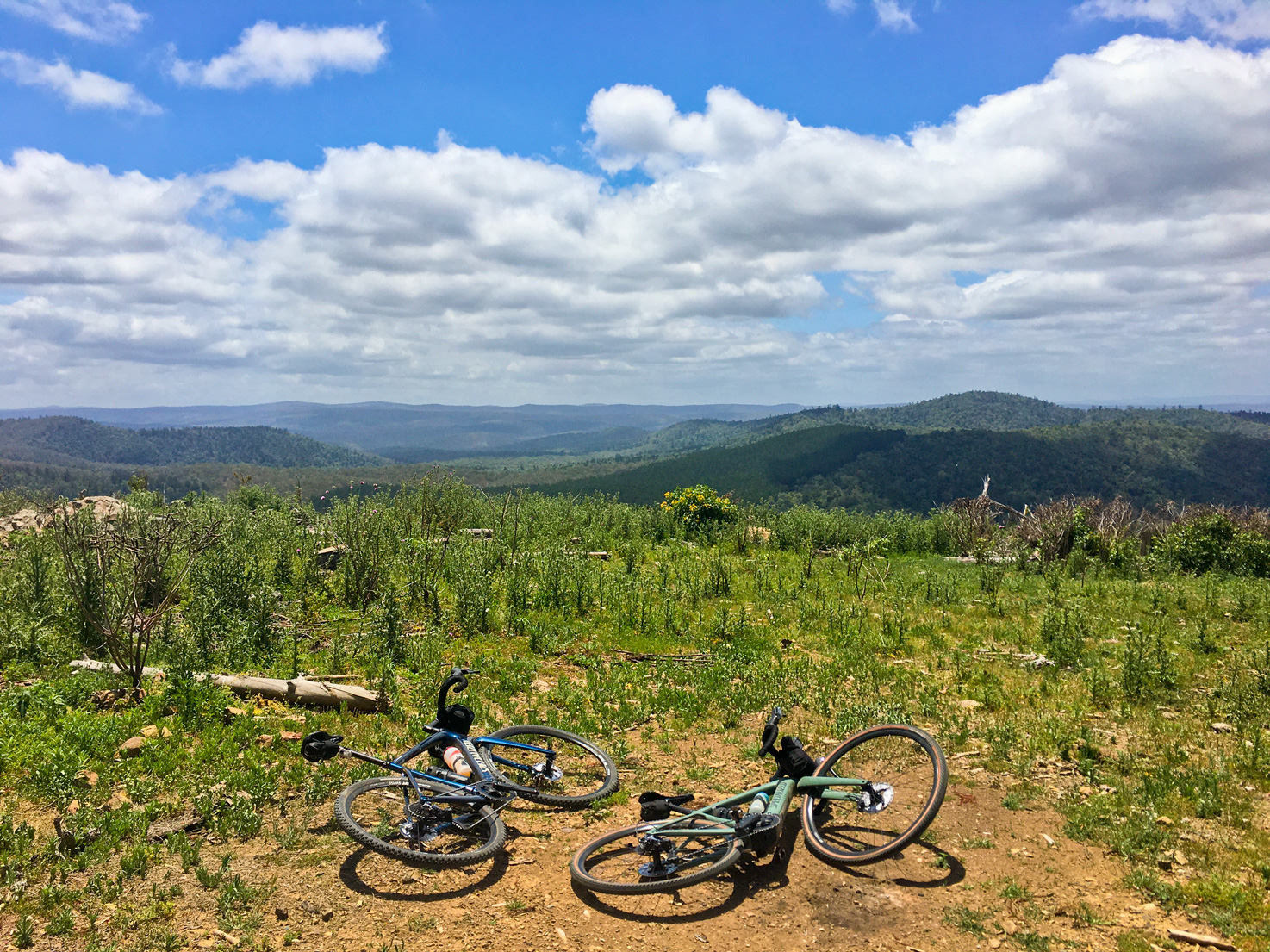
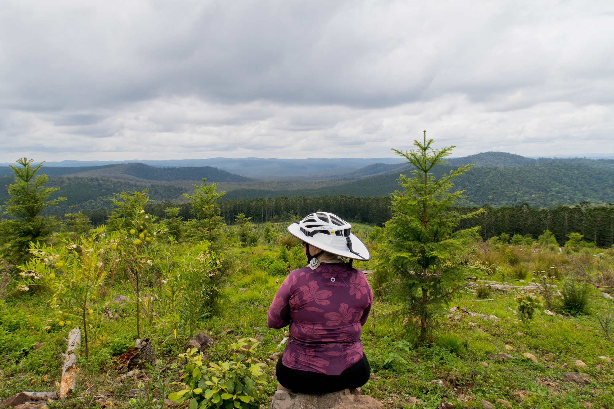
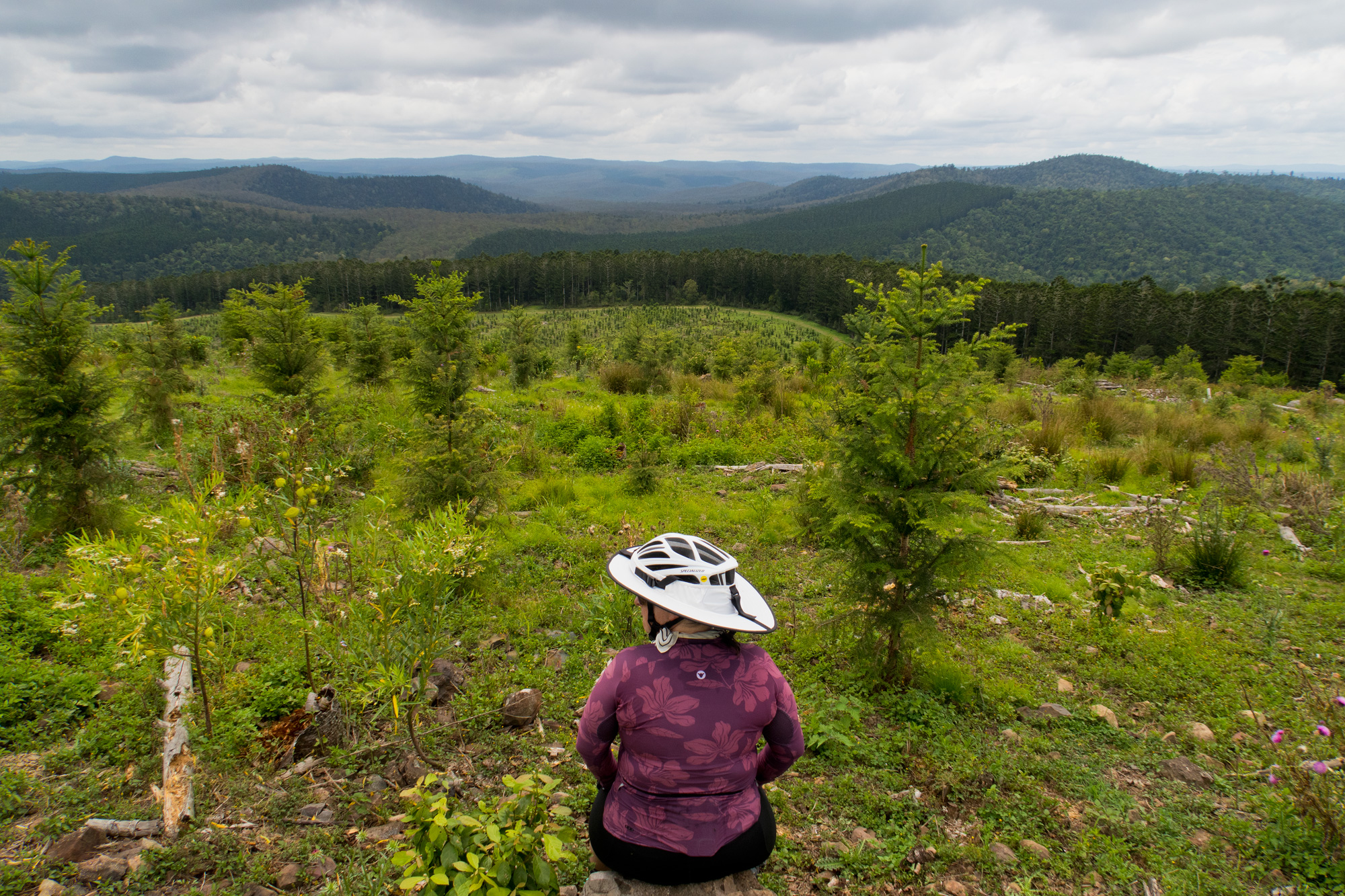 A seat with a view.
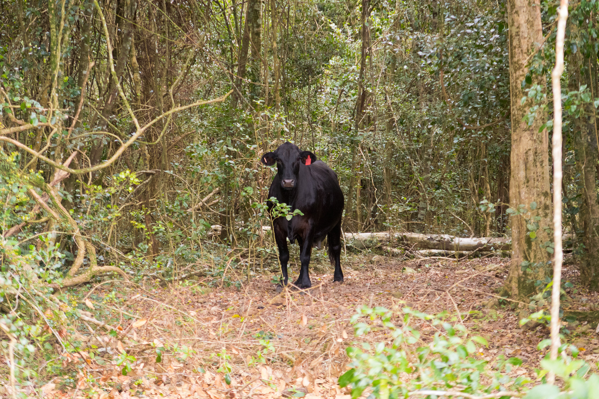
While we were having our pre prepared chicken sandwich brunch at the lookout we further checked our maps for possible alternative routes to get back to the Western Branch road without going via Elgin Vale or back along the track we just came. As we’d have to back track if it wasn’t passable we decided to cut off the loops to the east and instead check out some of the loops to the west. One route linked up to the Western Branch Road however it was the same track that was earlier covered in Lantana and weeds. As it was starting to get a bit warm now we headed off. The descent was a little steeper and rougher than last time as the logging track had lost all its road base since we had last ridden it. On the way down we past a large black dog (actually a cow) that just stared at us before running off. Eventually we got to the bottom and started our way west. This is where we first started seeing that the area had been somewhat recently logged so we had good expectations that the tracks should be passable and as we came out into an open area we could see the track go up and over the ridges so it was looking promising. But by now the heat had really started to build and since there was no longer any pine plantation it was hot, open and exposed. So we made the decision to cut the loops off and make a straight run back into the cooler temperature pine forests much to Bronwyns delight as she was starting to struggle just before the turn to head west.
 A brief stop on the descent down the hill.
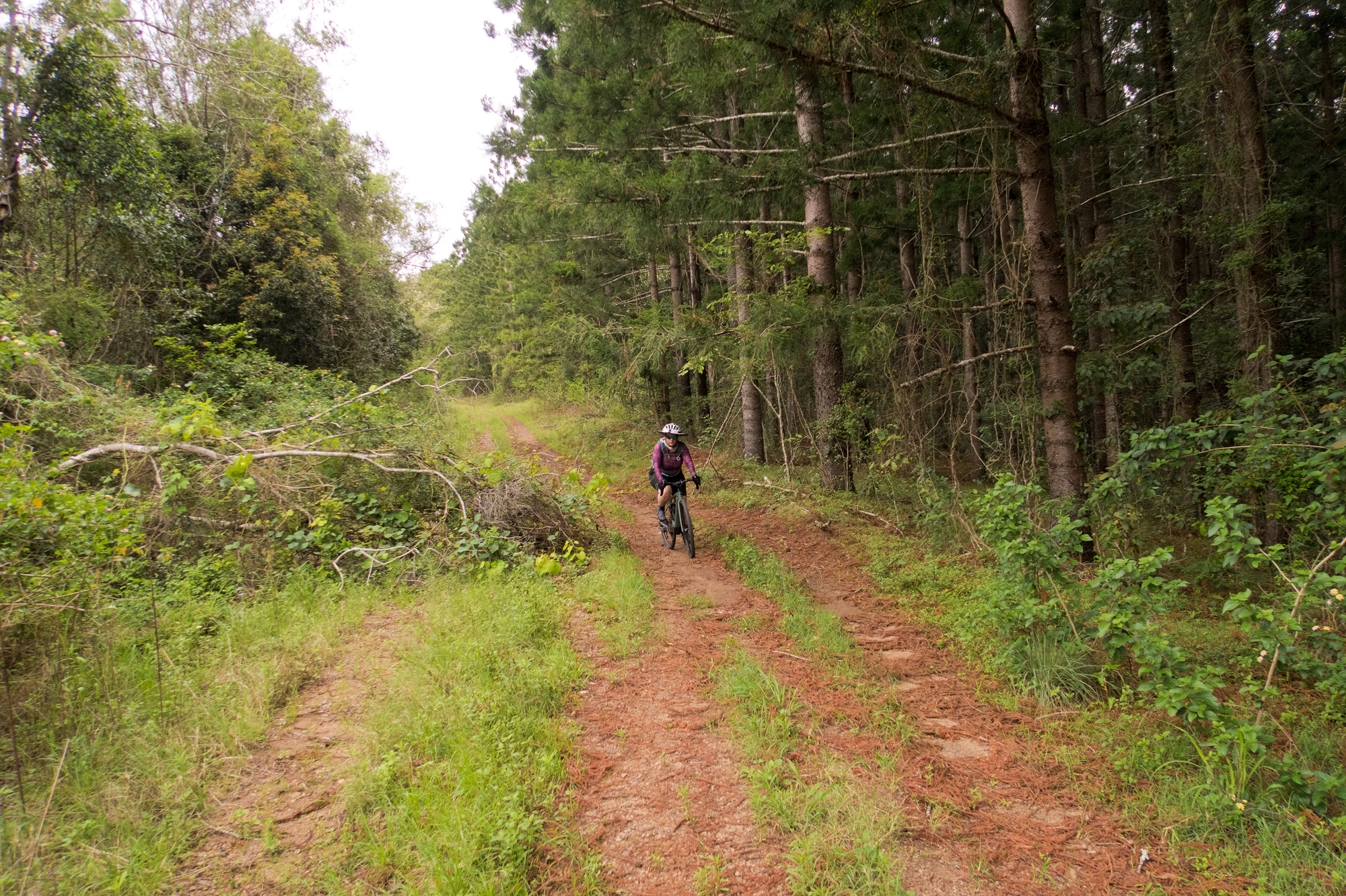
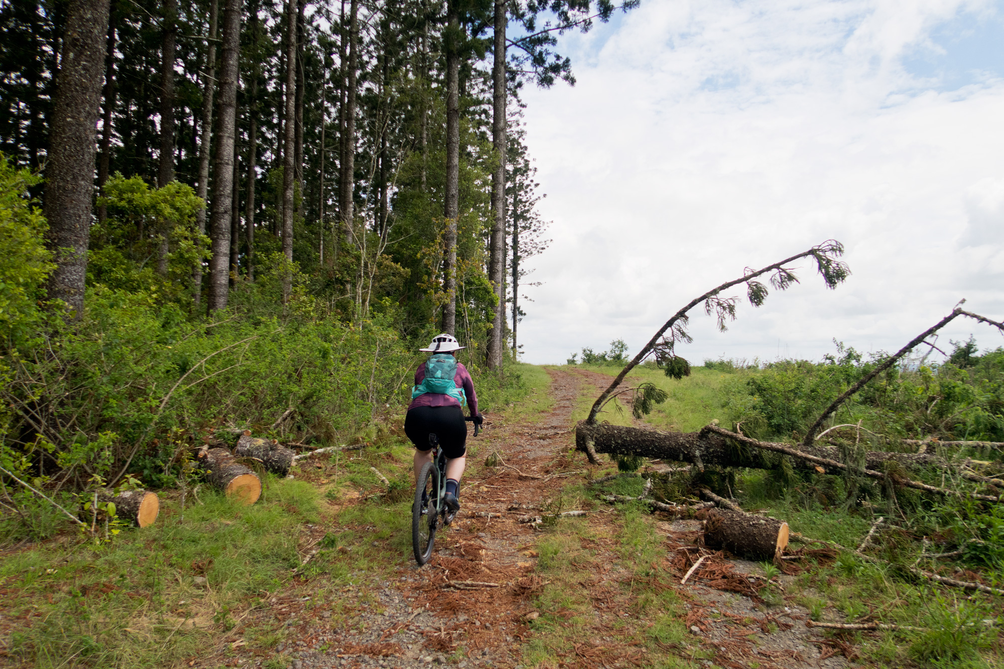 More fallen trees after the most recent storms.
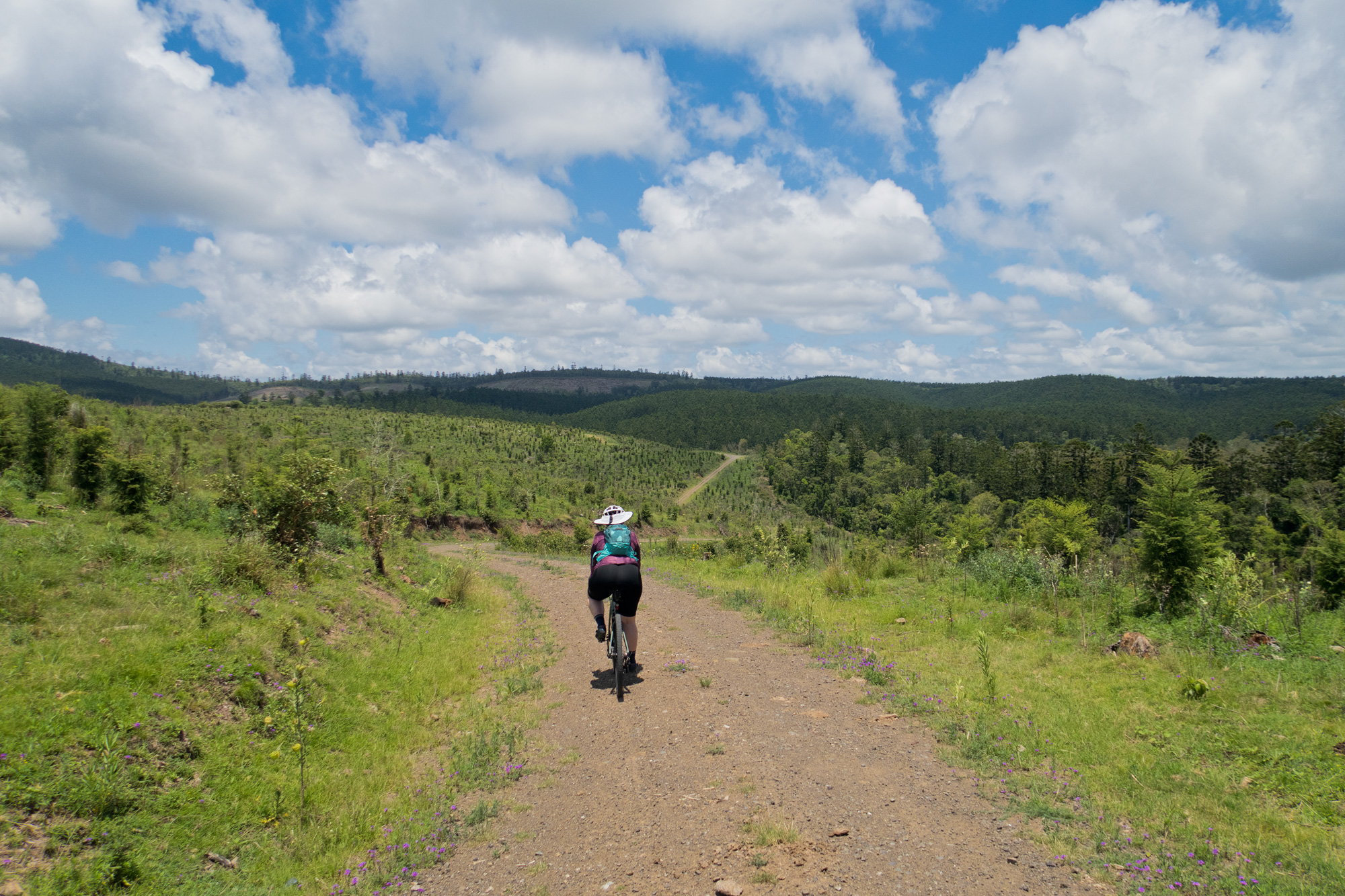
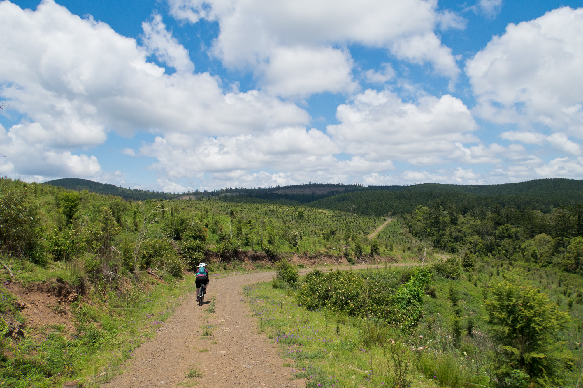
 Up and down and up and down.
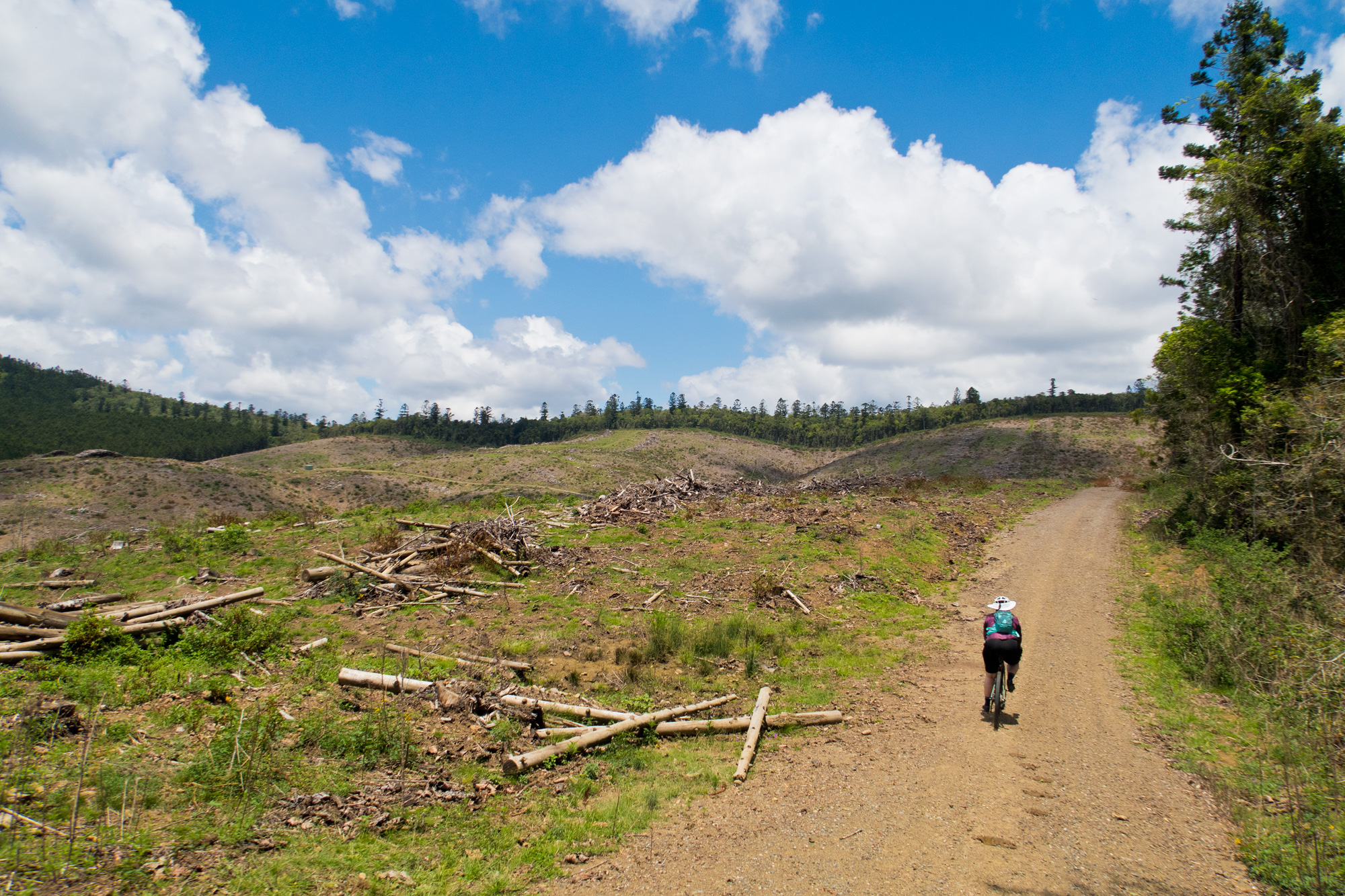
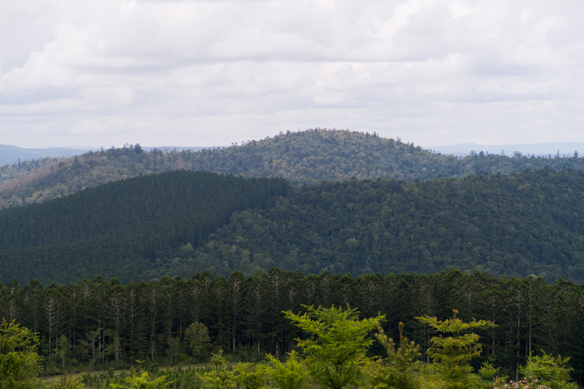
 Looking back at the logged sections of forest you could see where you had just ridden.
Just like every other time as soon as we made it into the pine forest the temperature was just a lot cooler. Even with the direct 11-midday sun overhead it was still a lot cooler than exposed section we just rode through. It was looking good as we made our way west. We left the pine plantation and into eucalypt forests where it was a few degrees cooler but still dramatically better than the open and exposed areas. We went through a couple barbed wire gates again and along recently cleared sections of track but with about 2km to go until we hit the Western Branch road we got to a Y junction.
 Flannel weed crowing along the track.
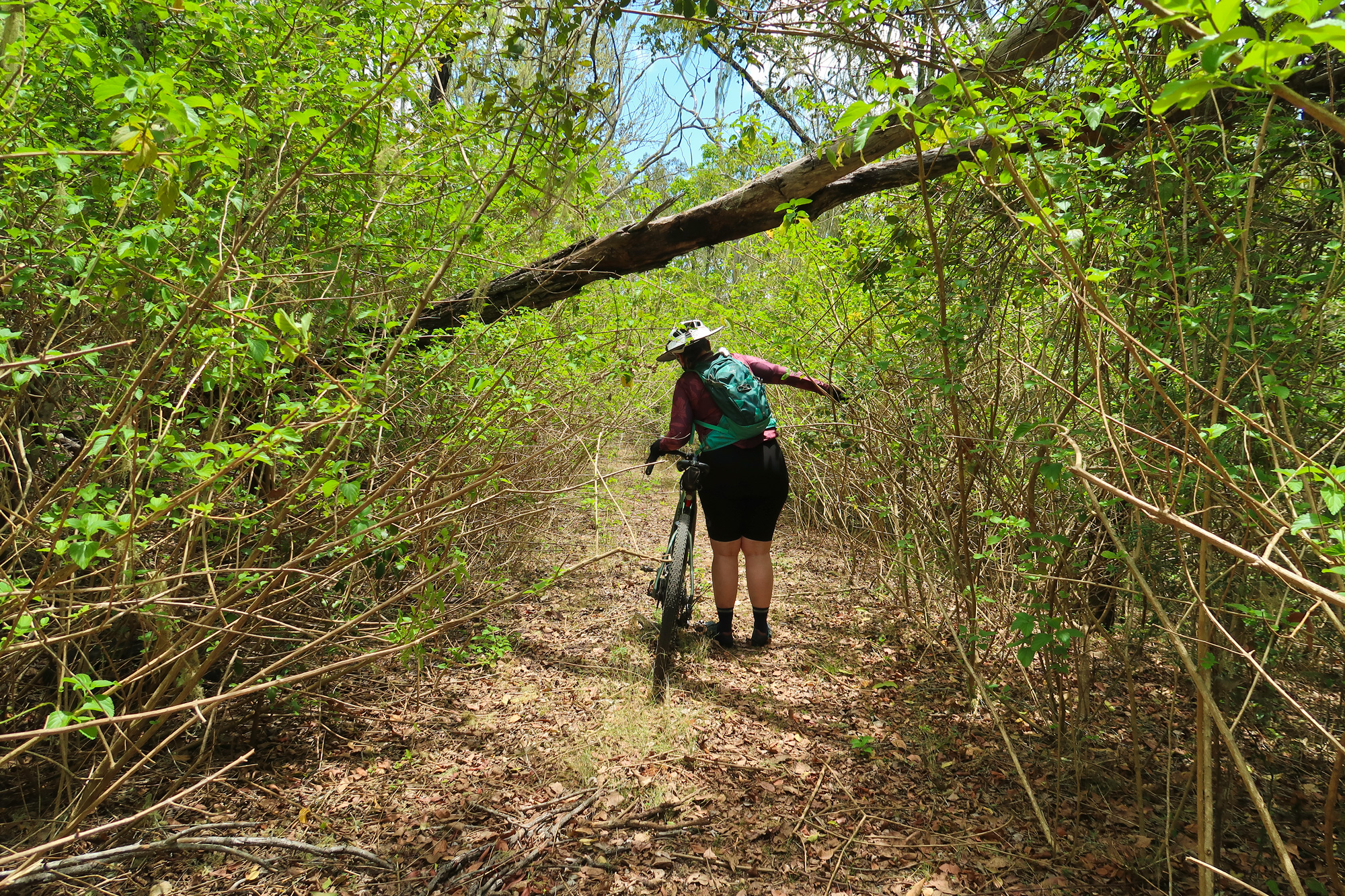
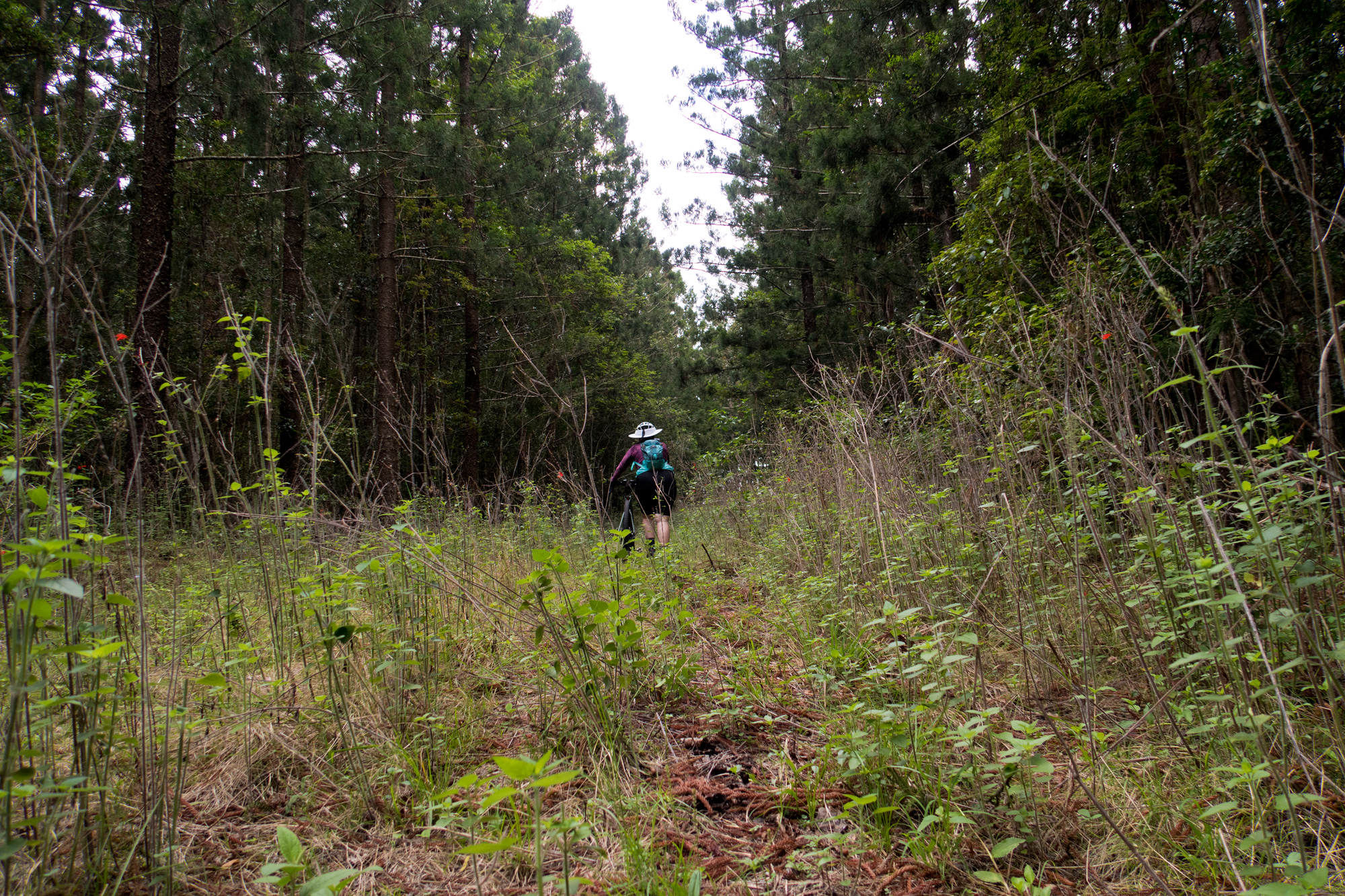
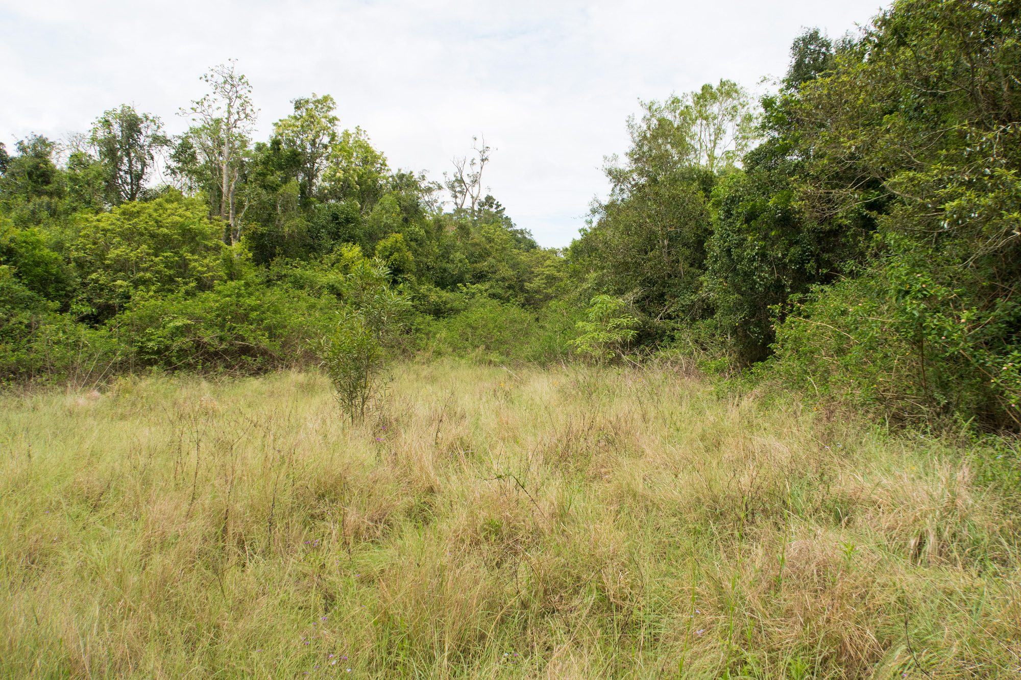
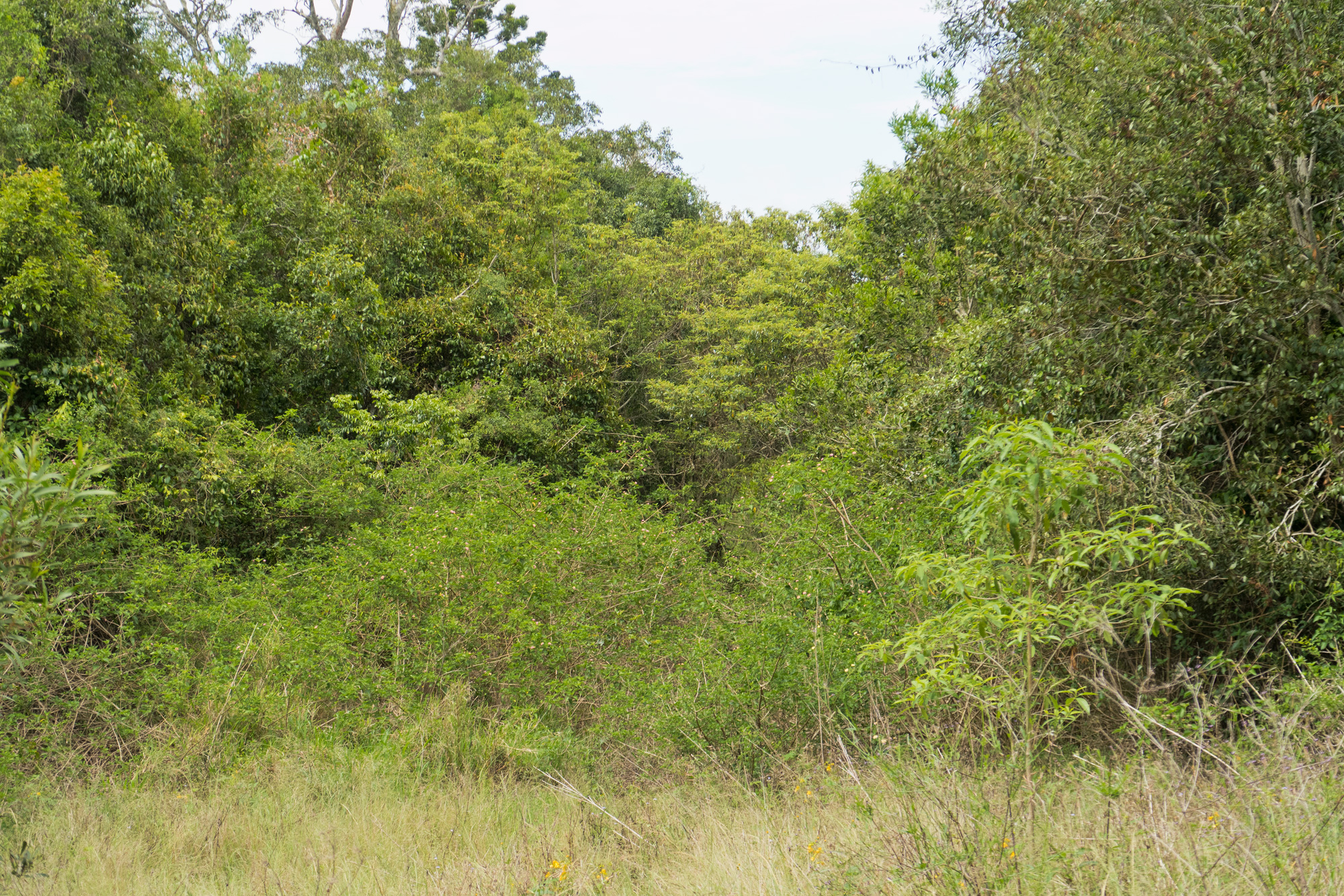
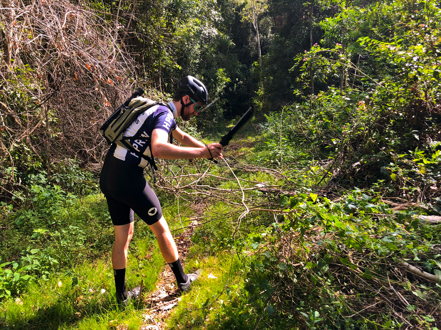
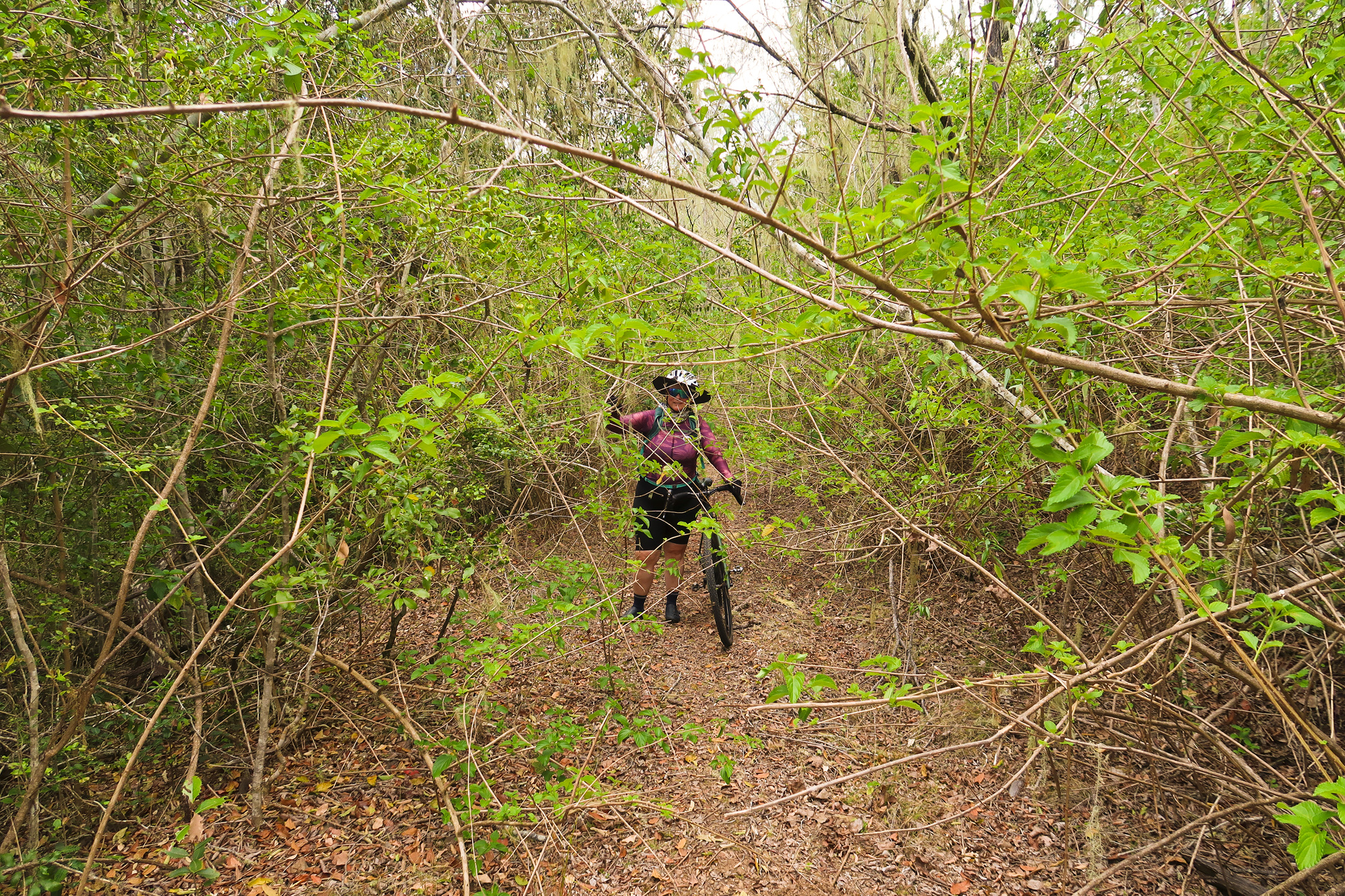 Bronwyn in the thickest section of lantana.
Through the gate on the right continued on with the cleared track while to slight left was a track that had the early signs on lantana starting to grow over it. To the right headed up to Elgin Vale for a 30km detour or to the slight left was 2km to the Western Branch road. We took the left. For the first 700m you could still ride through it if you ducked your head down but then it got thicker. Even though Luke considered bringing his machete/bush saw just in case but thought we wouldn’t need it.
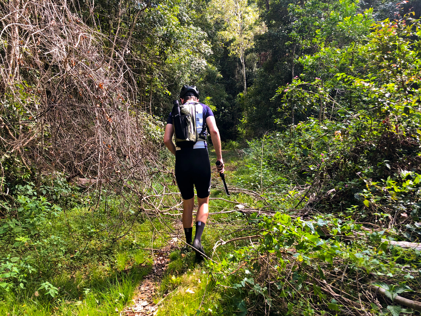
Back in 2020 while on our Elgin Vale/Mount Stanley exploration ride Luke rode around carrying a machete/bush saw and cleared some overgrown sections of lantana to get past.
While the thickest section was only 30m Luke was continuously counting down the distance to the road. 1.7, 1.5, 1.3, 1.1, 0.9. At 0.7 he said that “We should be able to see the other track to the right”. We didn’t see any track but we did see a fence line and the lantana starting to get thicker up ahead. So Luke walked through the bush and popped out into a clearing and found that the was no secondary track as indicated on some maps but the fenceline and track we were on merged 50-60m further along meaning we could just bypass the last of the lantana. From there it was only 600m back to the Western Branch Road.
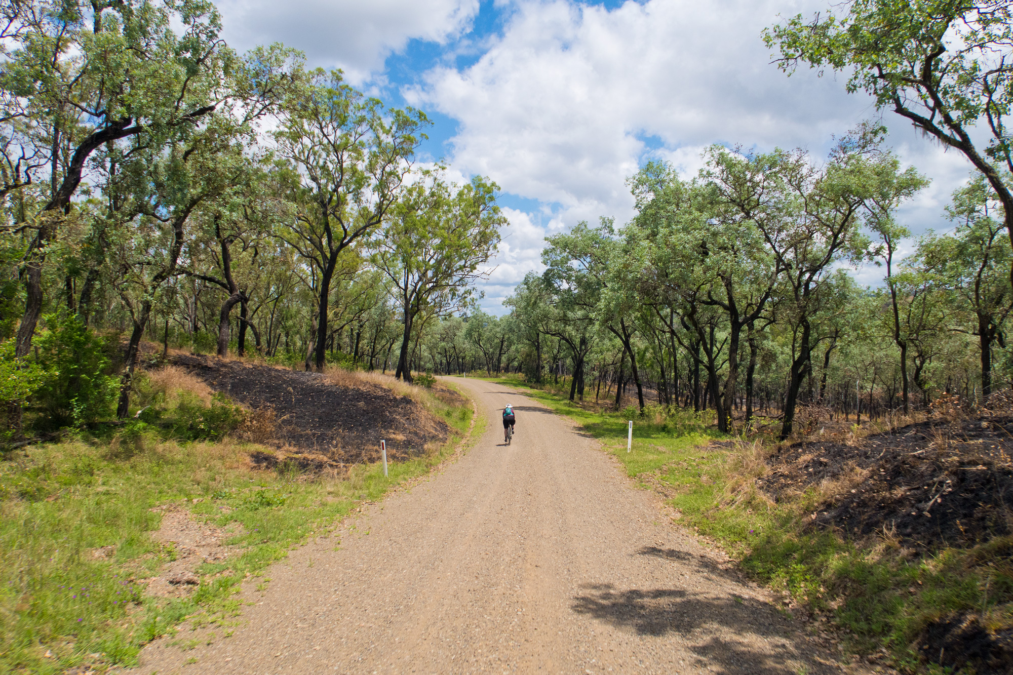
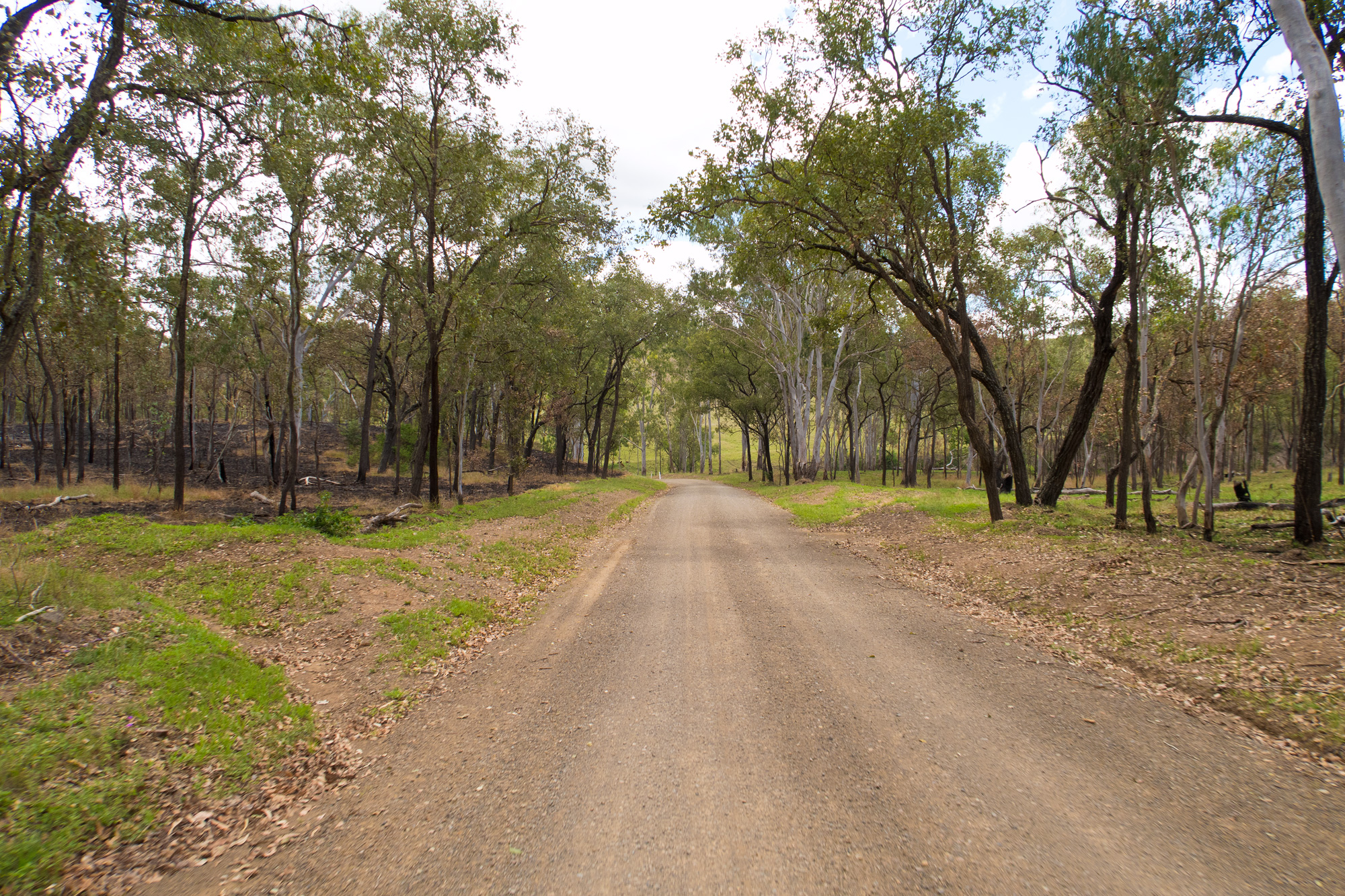
Once we were back onto the Western Branch Road it was definitely a lot greener after the recent rains but it was also a lot blacker with burnt out sections. It was very interesting seeing the blackened landscape with the hyper colour green regrowth.
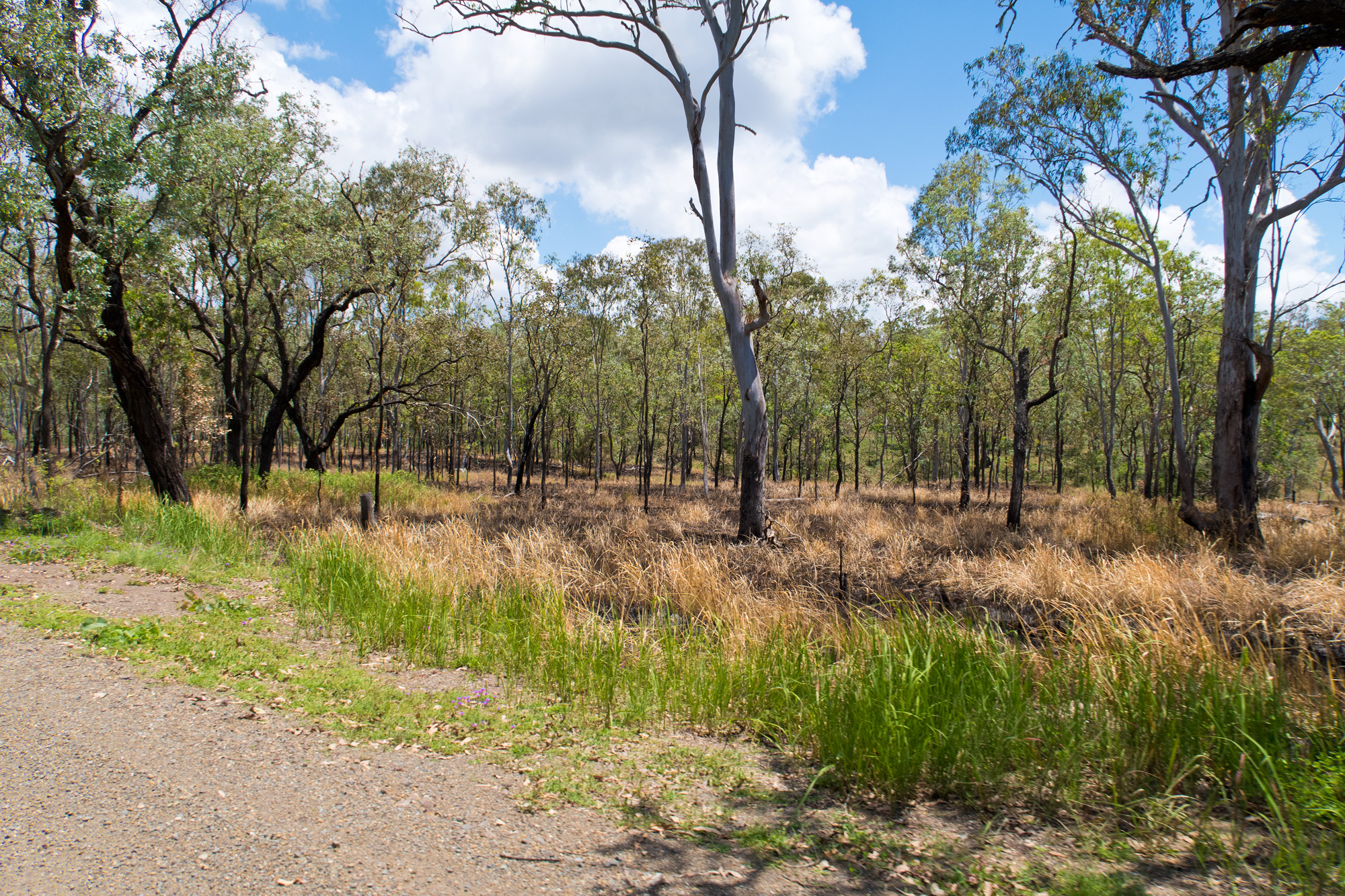
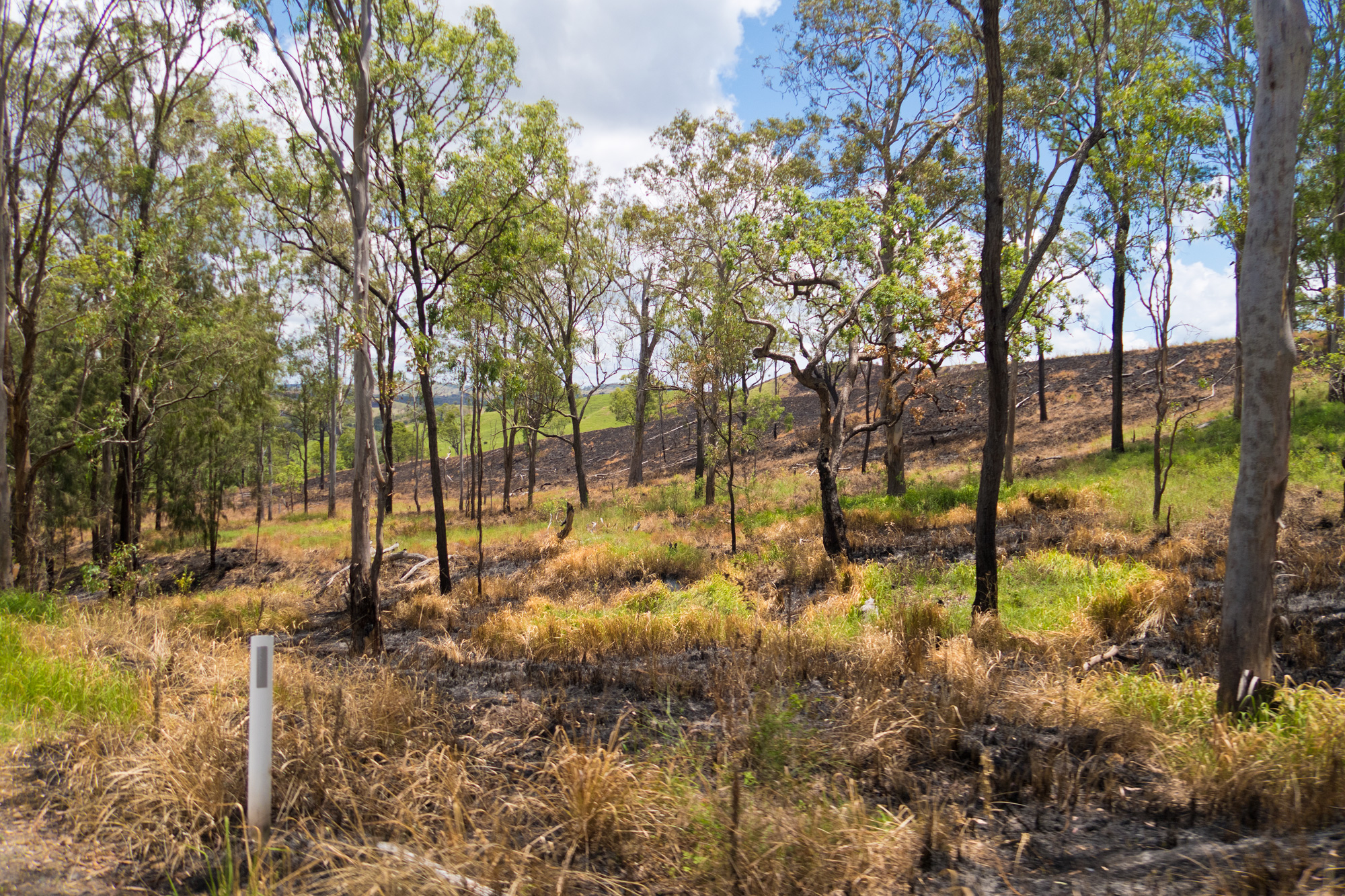 The landscape was a little burnt compared to a month earlier.
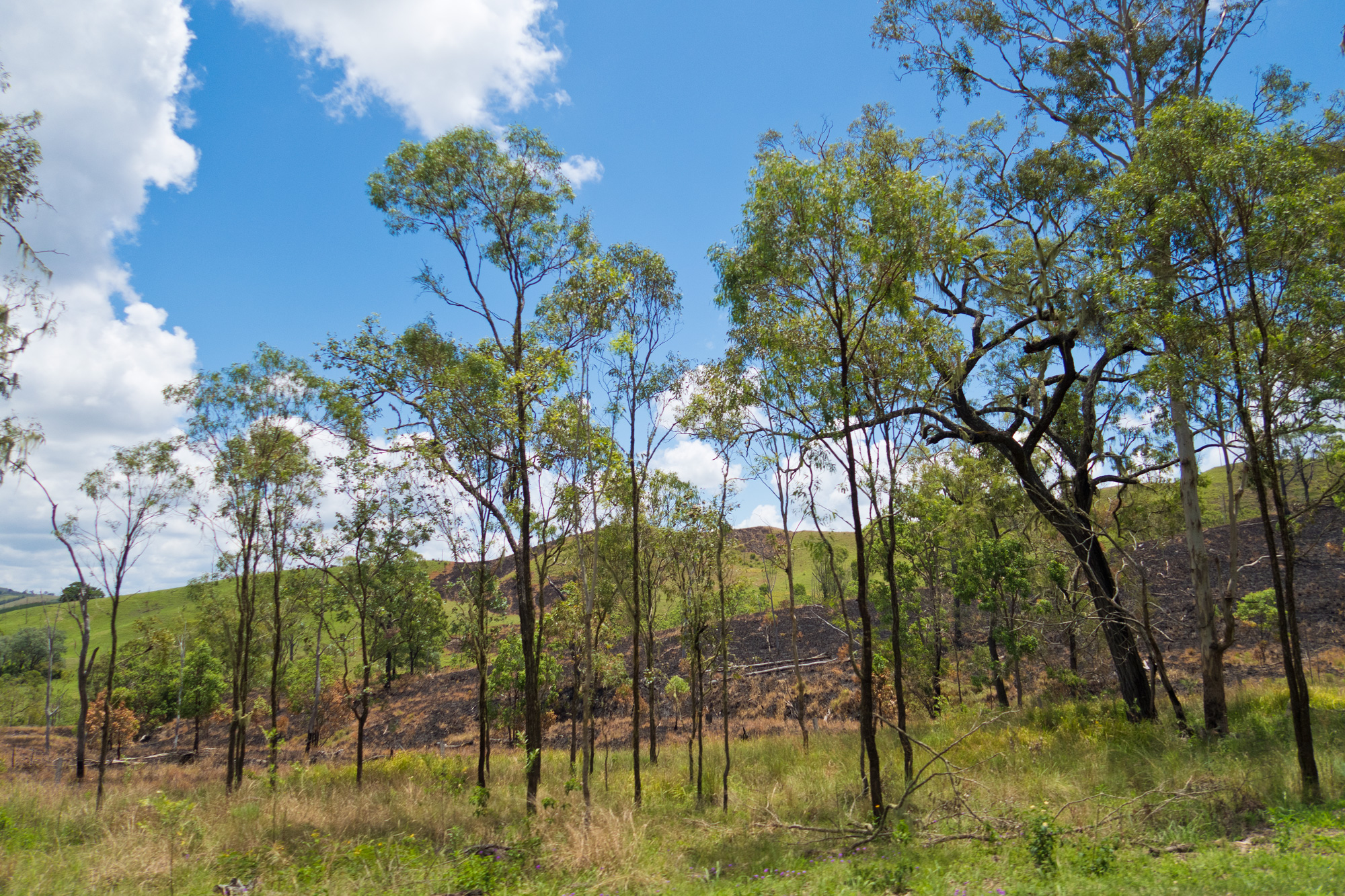
 The scenery down the hill heading back to Linville along Western Branch Road.
Left: October 2025. Right: November 2025
Left: October 2025. Right: November 2025